

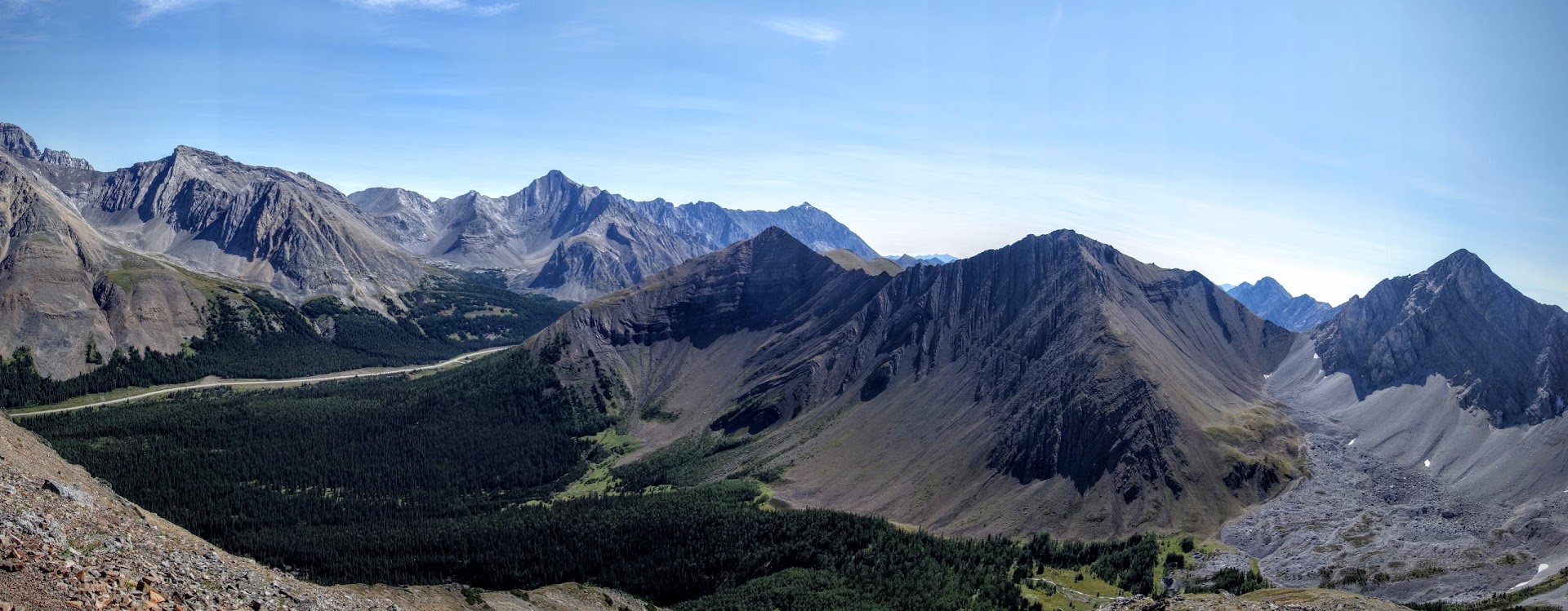
Looking down at Highway 40, Elbow Lake and Mountain on the left; Misty Range(?) on the right.
Alberta BC is not only home to the well known National Parks of Banff, Yoho, Kootenay and Jasper, but also many public spaces. Kananaskis Country, at 4,000 square kilometers, borders Banff National Park and includes five provincial parks, four wildland provincial parks, one ecological reserve and several provincial recreation areas. A bit confusing for this foreigner. Further confusing is the fact that the main roads are called trails. So . . . today’s hike is in Peter Lougheed Provincial Park along the Kananaskis Trail (Highway 40) starting near Highwood Pass (the highest paved pass in Canada 2,206 meters or 7,238 feet).

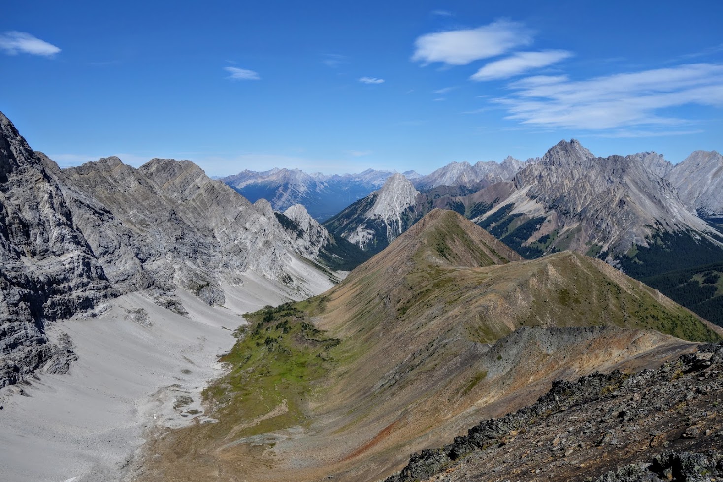
Pocaterra Ridge includes this rocky mound in front plus the green ridge. To the left is Elk Range.

My first on-trail sighting of big horn sheep.
Jan’s Tips:
- This was a 7-mile, one-way hike with about a 3,000′ ascent and 4,000′ descent. The first 25% is on rocky but fairly easily graded terrain with obvious trail. The middle 50% is climbing up, down and around boulders and scree, with a tiny bit of route finding; not a good section for hikers nervous about heights or ledges. The last 25% is steep down through a confusing creek washout section.
- In the Canadian Rockies, grizzly activity closes trails or requires groups of four to travel together. Therefore, it’s always good to go prepared with a Plan B; better yet, also with Plan C and D.
- If you’re like me and prefer photos minus strangers, and quiet trails with more opportunity to see wildlife, especially during peak tourist season, GO EARLY.
- Helpful links:
- A Parks Canada Pass is required.
- Link to my other Canada blog posts.
Resources:
- Maps
- Gem Trek Publishing, Kananaskis Lakes (Trail Map & Guide)
- Gem Trek Publishing, Canmore and Kananaskis Village (Trail Map & Guide)
- Books
- Canadian Rockies Trail Guide by Brian Patton and Bart Robinson
- Kananaskis Country Trail Guide Volume 1 by Gillean Daffern
- Where Locals Hike in the Canadian Rockies by Kathy & Craig Copeland
- Don’t Waste Your Time In The Canadian Rockies: The Opinionated Hiking Guide by Kathy and Craig Copeland
- Classic Hikes in the Canadian Rockies by Graeme Pole
- Handbook of the Canadian Rockies by Ben Gadd

Beautiful country. It took me five tries to pronounce the title, not sure I got it right.
I’ve had a hard time with many of the names.
Pingback: 2015 -Where did Jan Jaunt? | Jan's Jaunts and Jabberings