
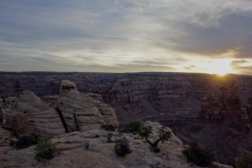
There is nothing quite like a morning greeting from the orange orb. Today I’d be saying goodbye to Holly. We had such a great week of fun and adventure, hiking Bell and Little Wild Horse Canyons in San Rafael Swell, Horseshoe Canyon in the Maze District of Canyonlands, Natural Bridges National Monument, and the Sundance Trail in Dark Canyon Wilderness.
Heading back to civilization.

Gotta love the Utah red dirt.
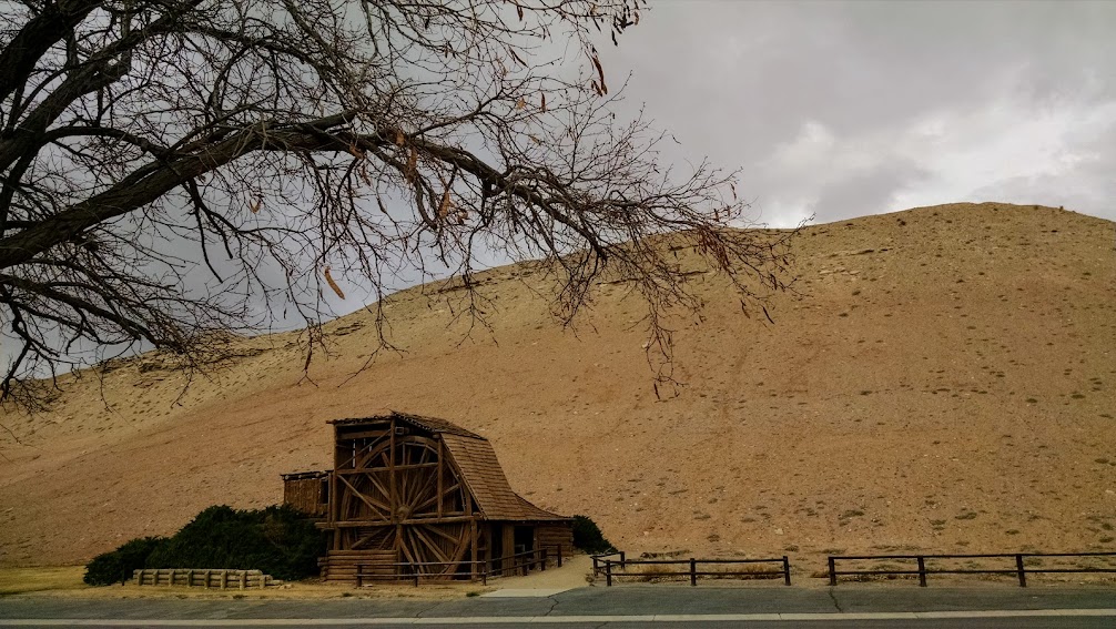
I spent a few hours in Hanksville getting ready for the next leg of my journey. It was a wet, wild, windy night. The wind continued the next day so I was happy for a day of sightseeing, including a visit to historic, Wolverton Mill.
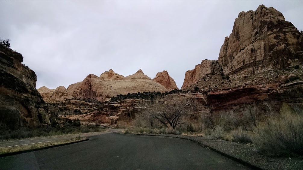
Back on the familiar roads of Capitol Reef National Park where I spent some time in 2016 (link to related post).
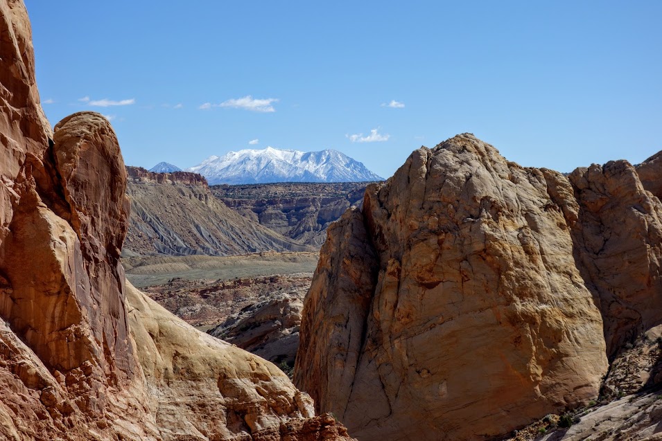
My favorite feature in the Park are the Navajo Knobs of Waterpocket Fold.
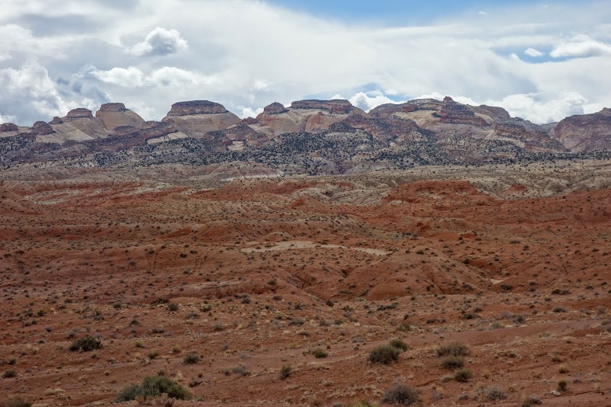
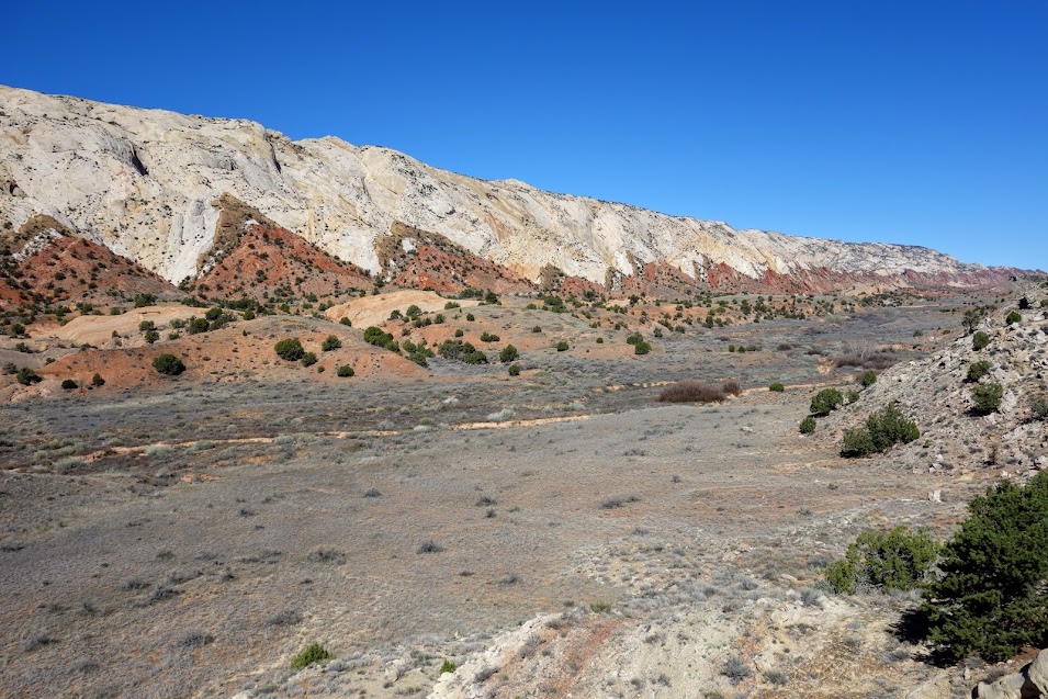
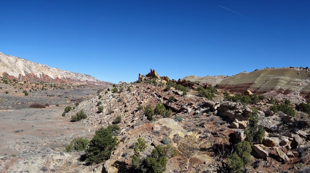
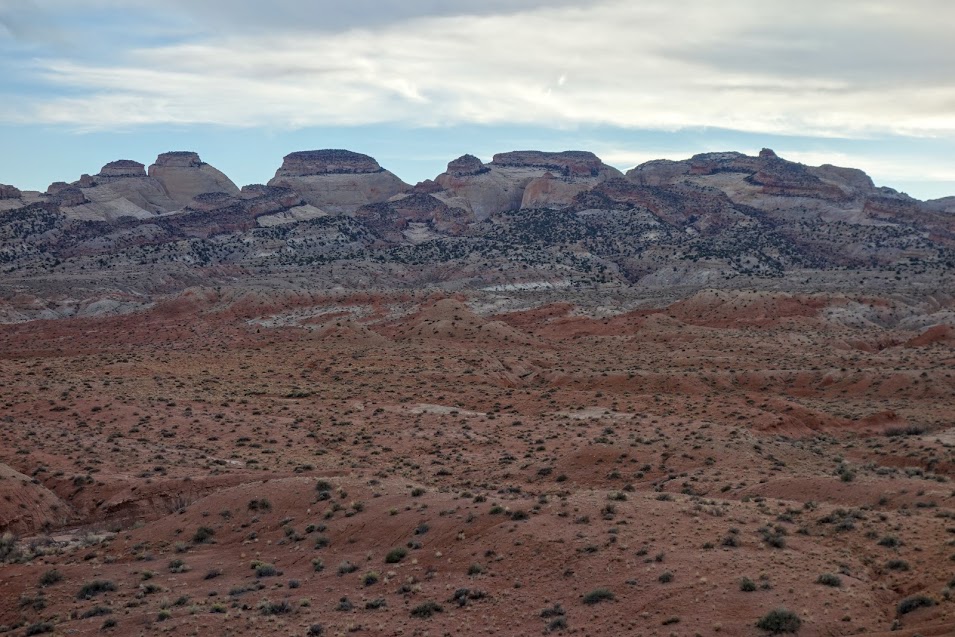
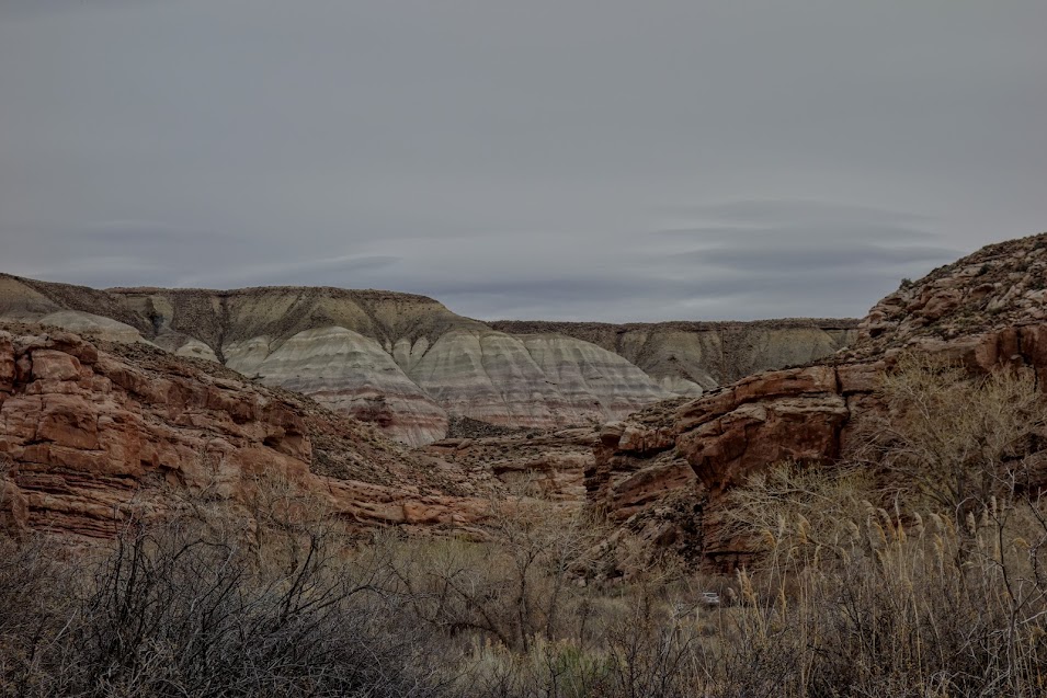
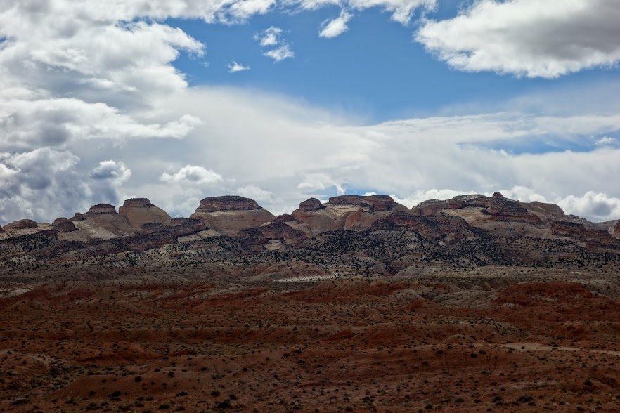
There is a lot of geologic variety in the area.

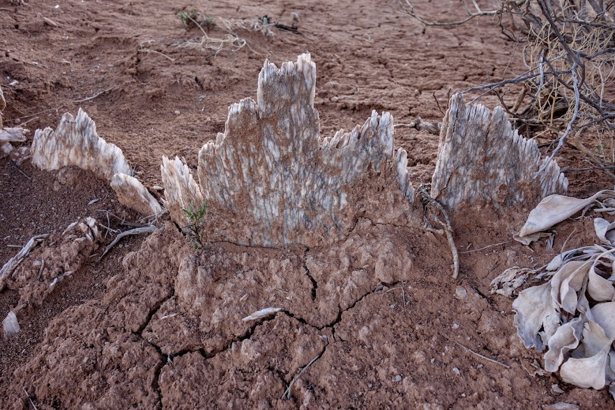
As I was wandering around, I found these unusual pieces. I’m guessing reef from an old seabed?
This adventure was to be more about exploration and photography than hiking. With that in mind, we set up base camp on BLM land off the Notom-Bullfrog Road. My adventure buddy Trish not only had a Jeep to aid in our exploration but a Taj Mahal tent. This is glamping at it’s finest!
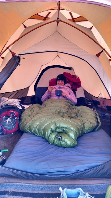
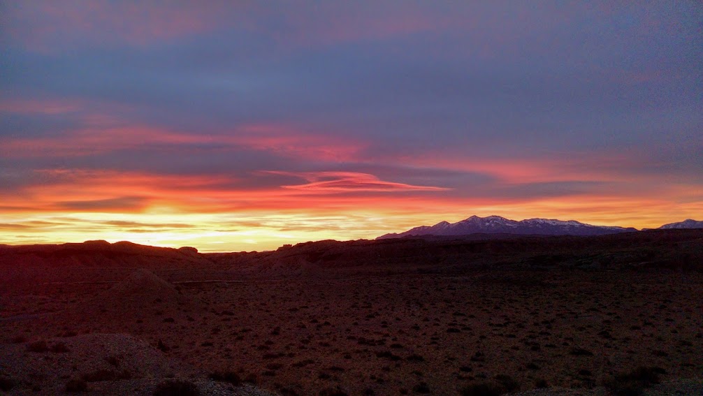
Meanwhile I was happy to luxuriate in my car while enjoying this sunrise view.
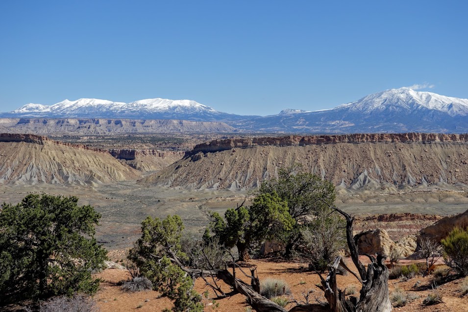
We stopped many times along Notom-Bullfrog Road for photos and walkabouts.

Then we found my second favorite part of Waterpocket Fold.
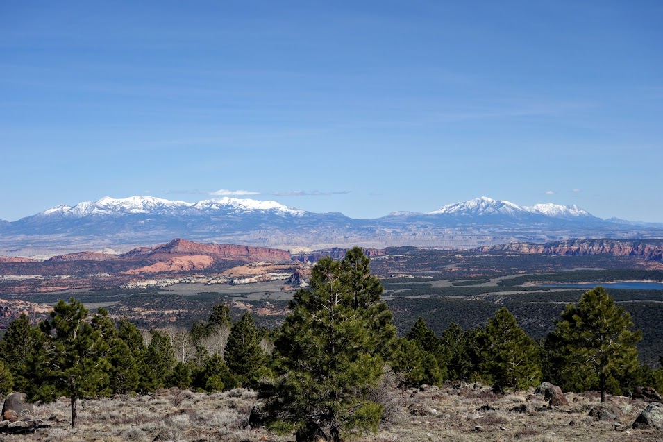
A drive south along the Notom-Bullfrog Road offers views of the Waterpocket Fold. The monocline, or one-sided uplift of the Earth’s crust, is a premier example of the bending and folding of rock layers. The Waterpocket Fold is notable for its great length of multiple layers of exposed and carved colorful sedimentary rock. The monocline extends from Thousand Lake Mountain in the north to Lake Powell in the south.
Crustal pressure reactivated an ancient buried fault deep within the Earth, causing the overlying sedimentary rock layers to uplifted and folded. Today this monocline appears as a steep slope that ends in an abrupt cliff line. The east side of the Fold is tilted as much as 60% from the normal horizontal which caused accelerated stream erosion to occur. An estimated 7,000 feet (2,134 m) of overlying rock has been eroded away since the formation of the Fold, 60 million years ago. The west side, or escarpment face, is a near vertical cliff line and a formidable barrier to travel.
Geological features provide a source of park names. The vast expanse of white Navajo Sandstone atop the sloped side of the monocline is dotted with numerous natural tanks or potholes that collect rain water, contributing the name “Waterpocket” Fold. Navajo Sandstone domes resemble the Capitol building, hence the name “Capitol.” Many early prospectors were former sailors who likened the vertical cliffs of Wingate Sandstone to a barrier common in nautical travel: a “Reef.” Source: NPS

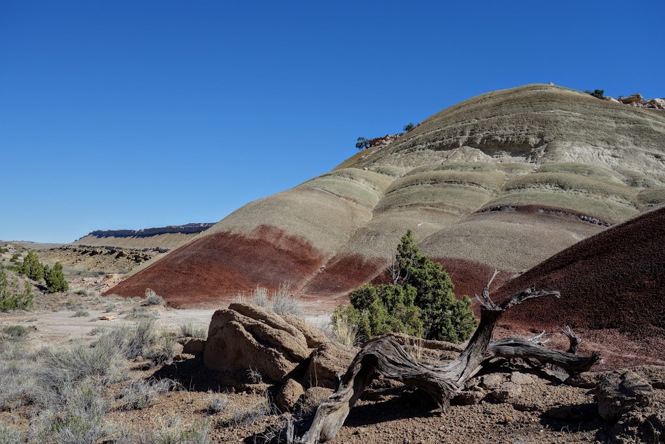
This looks like a mound of brains.

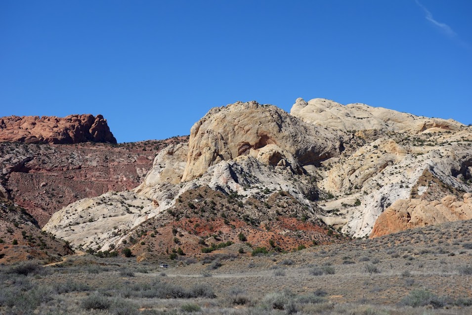
Views of snow-topped Henry Mountains were interspersed with colorful rocks.
One day I’d like to come back and hike the Muley Twist trails, but this day we turned down into Burr Canyon to connect to the Burr Trail Road.


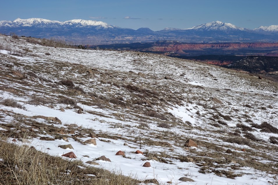
We found a little snow!
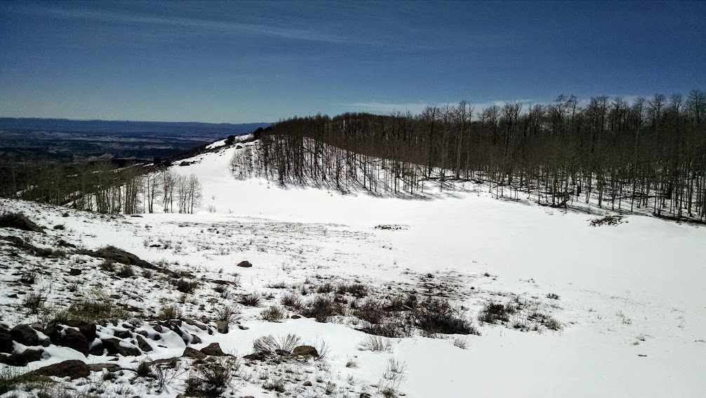
We found trees.
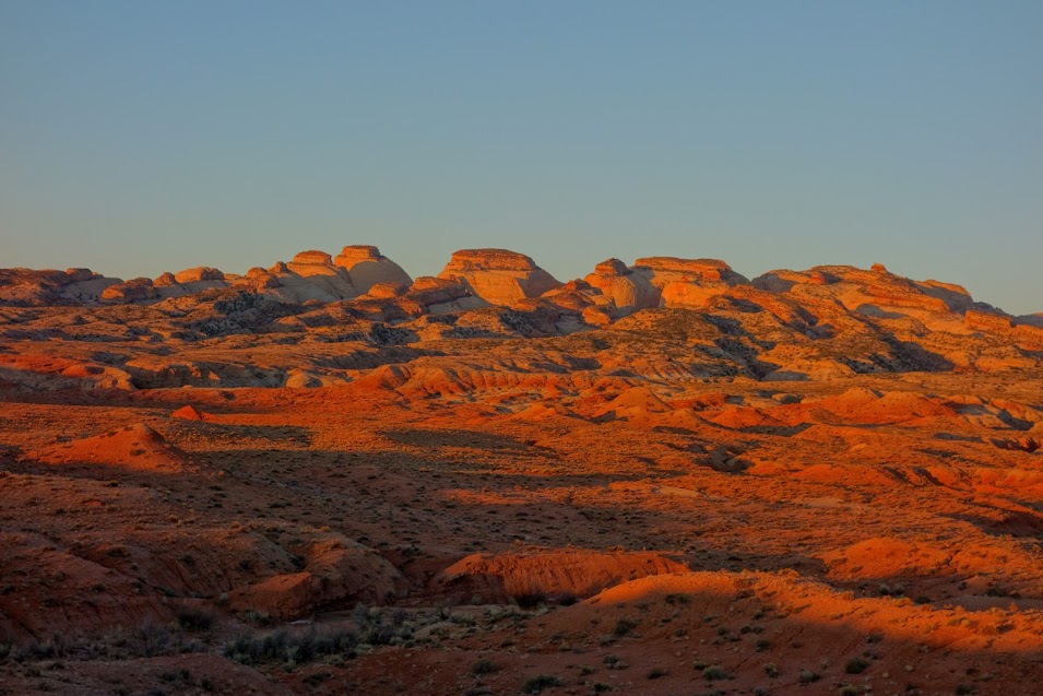
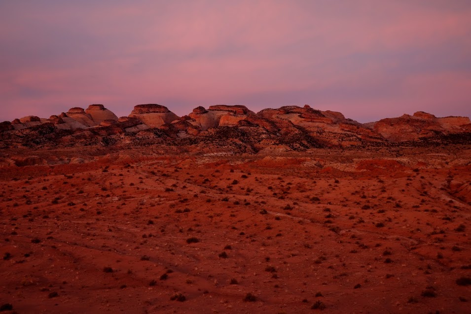
Back in camp to enjoy my favorite vista.
And watch another sunrise.
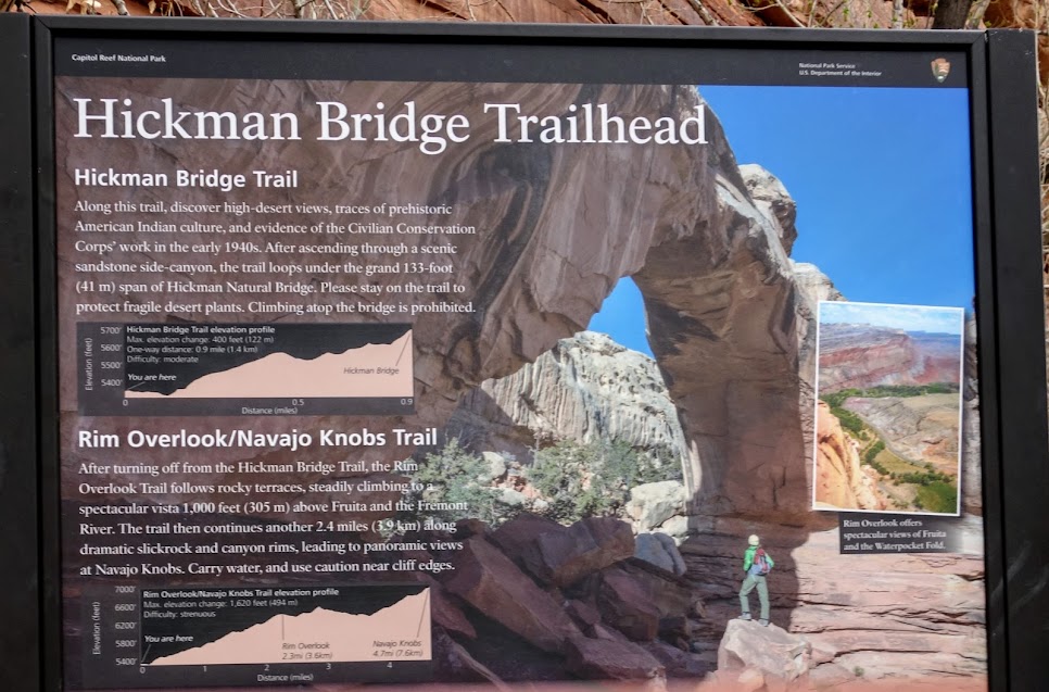
The next day we took the short hike to Hickman Bridge Overlook.
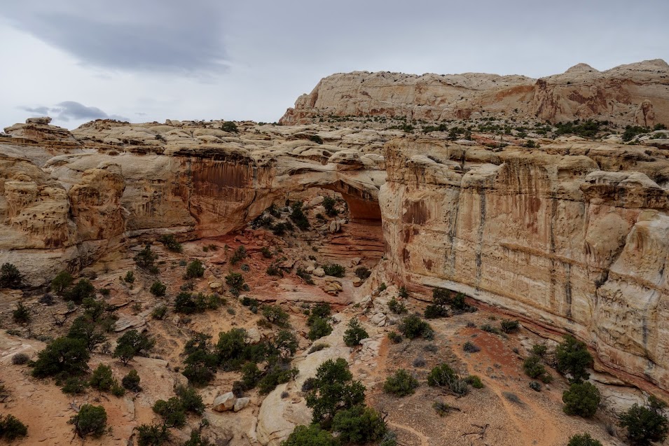
The surrounding views are pretty incredible.

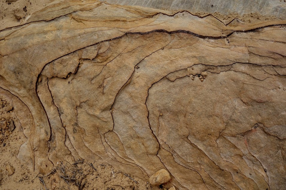
As are the macro details.
Soon I found myself saying goodbye to Trish and Capitol Reef NP. I’ll see you both again!
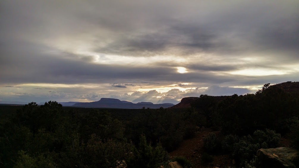
Then I was off to find my home for the night, nestled between the Bears Ears.

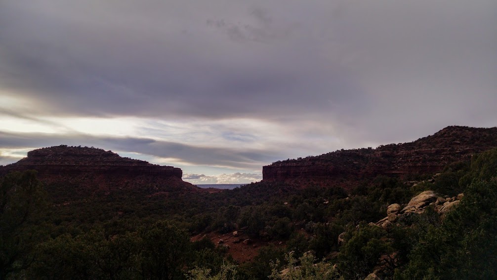
It was a great place to watch storm activity.
Adventure Dates:
- March 23-25, 2017
Links:
Resources:
- NPS – Capitol Reef National Park
- Hiking from Here to WOW: Utah Canyon Country, by Kathy Copeland and Craig Copeland
Important Note:
Please remember to turn off location services or automatic geotagging when photographing rock art or other heritage sites- especially if you plan to post your photos in social media. Avoid showing the horizon or identifiable features in the background that would help people navigate to the area. Better yet- only post photos of public archaeology sites. Those sites can generally be identified by the presence of interpretive signs or appear in materials distributed by the land-managing agency. While remote and little-known sites may no longer protected by being difficult to find, easily accessible sites have been targets of vandalism for decades. Public education is our best defense- please spread the word: rock art (both prehistoric and historic), structures, and archaeological deposits are wonderful to visit but impossible to replace when they are damaged or destroyed. Please enjoy these treasures, but don’t destroy them. Source: Utah Heritage Stewardship Program

Pingback: UT – Capitol Reef NP, Upper Muley Twist Canyon – Jan's Jaunts and Jabberings