Links to Part 1, Part 2, Part 3
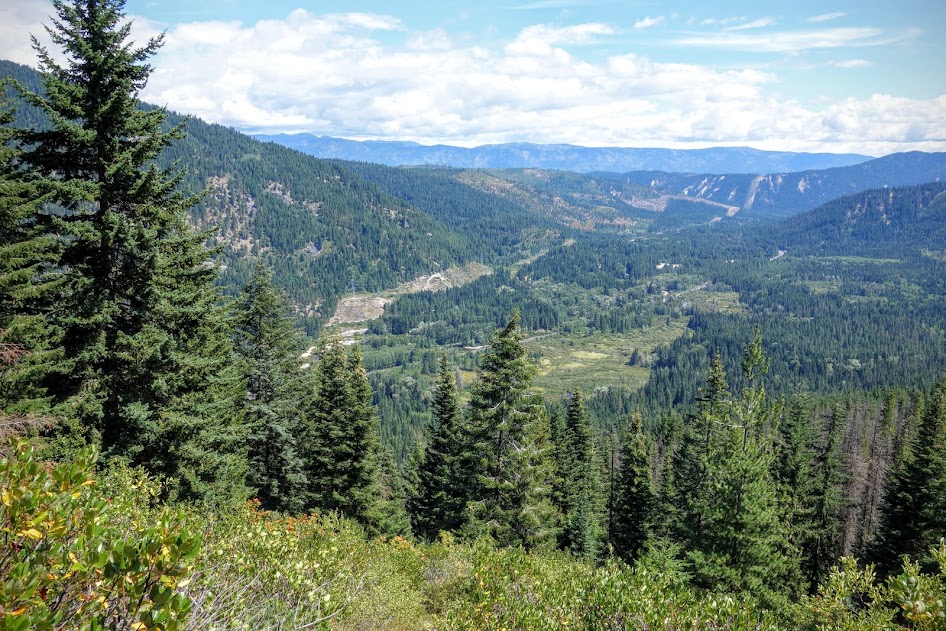
This is the drainage I fought my way through. In the far distance is Icicle Ridge and Cape Horn.
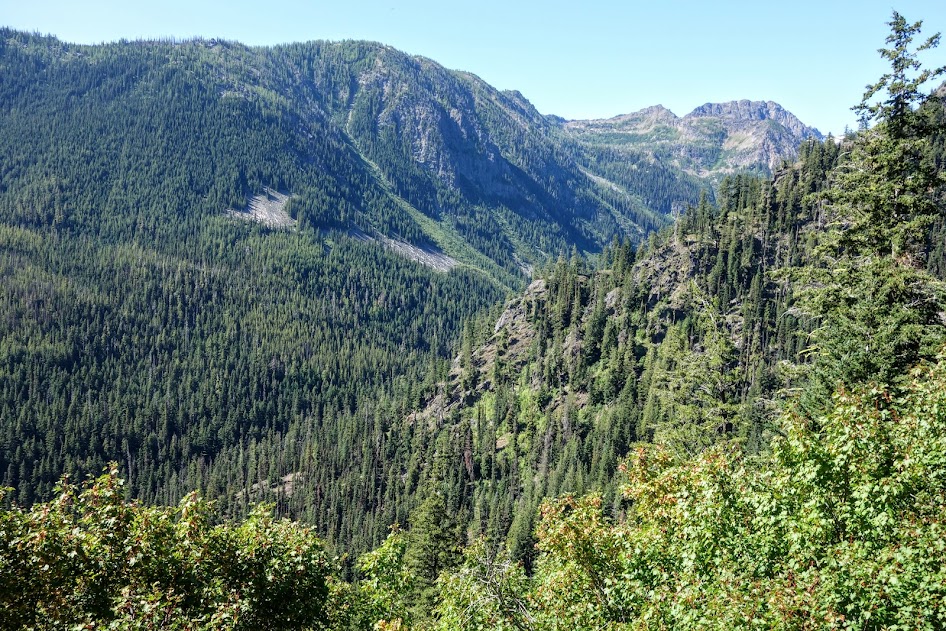
After far too many miles and hours of bushwhacking and trail finding, I was ecstatic to reach the well maintained trails near Scottish Lakes High Camp, and Chiwaukum Lake.
Heading toward Larch Lake in Ewing Basin.
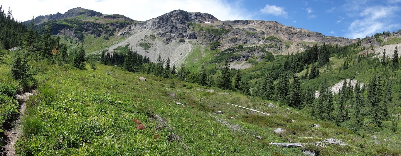
First views of Larch Lake.
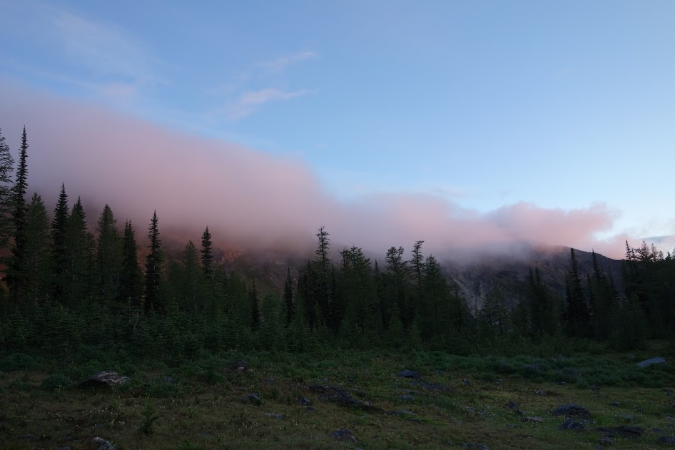
Loved watching the development of these clouds.

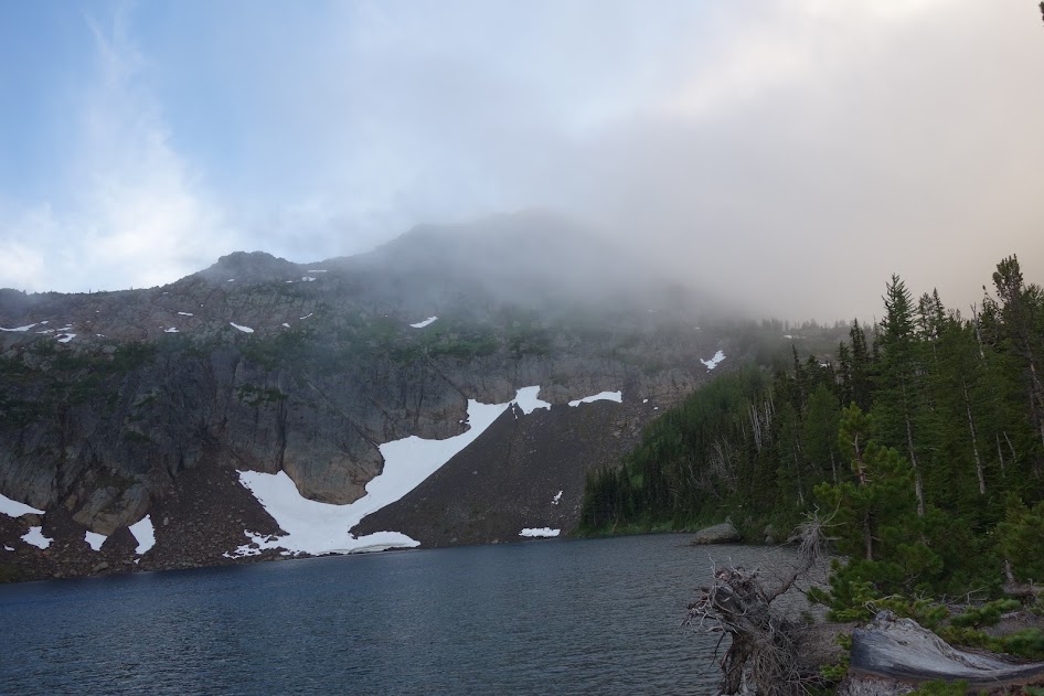
My campsite view of Larch Lake.
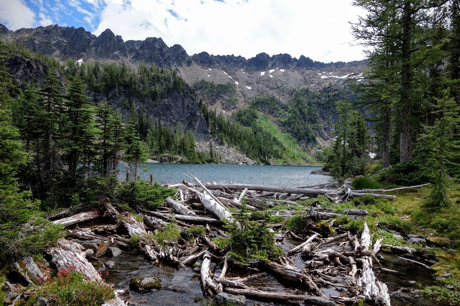
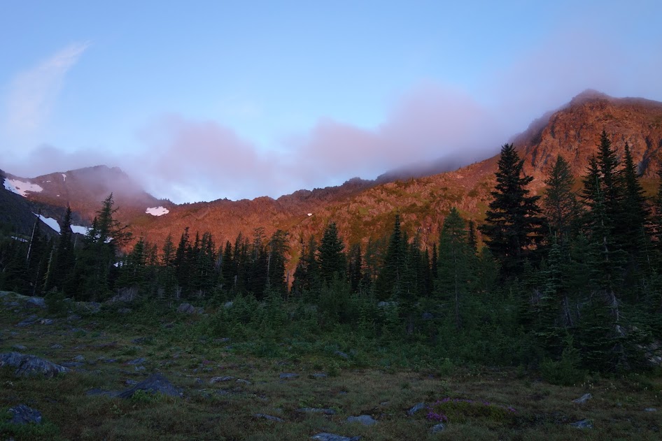
The outflow of Larch Lake and the east side of the Chiwaukum Mountains.

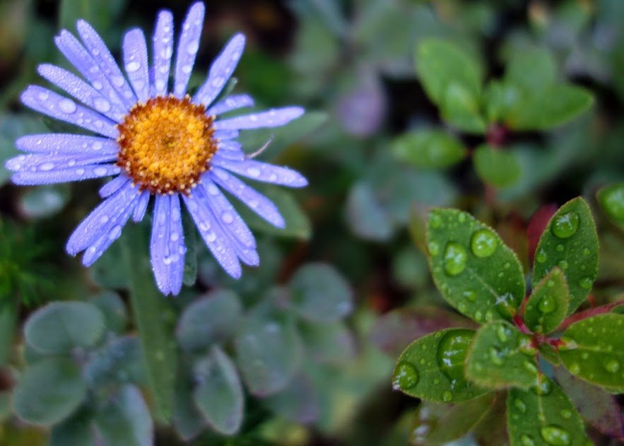
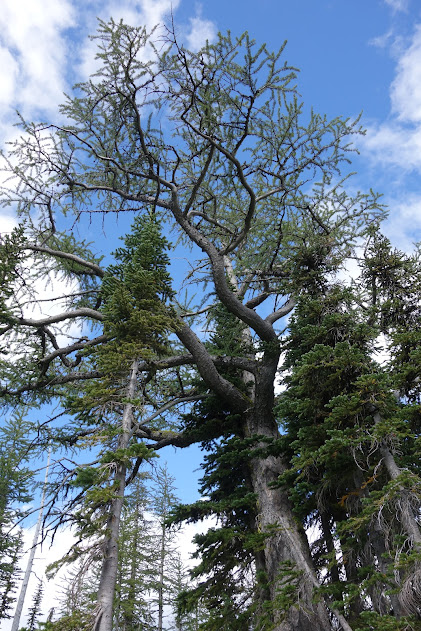
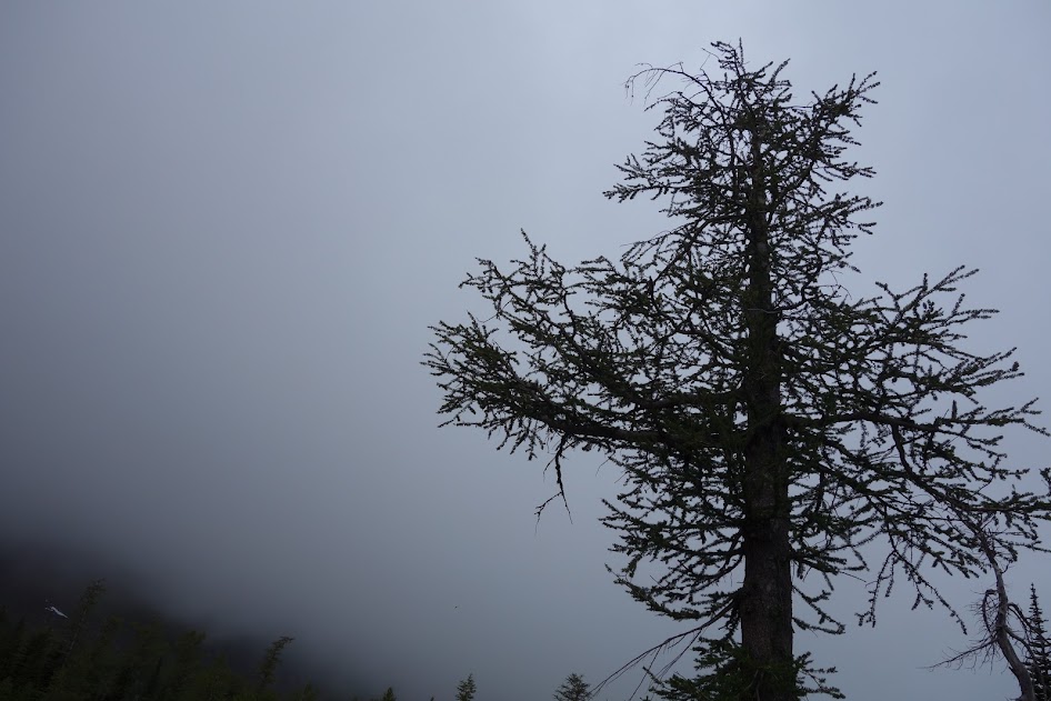
Watching the larch trees turn color is on my bucket list for this fall. I was happy for this opportunity to get to know them first sporting green.
After a rainy night, sunrise provided colorful skies accented by larch tree silhouettes.
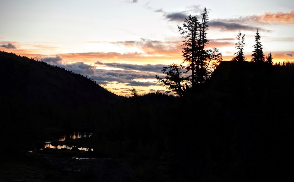
Pink clouds rolled in and out during the early morning hours.
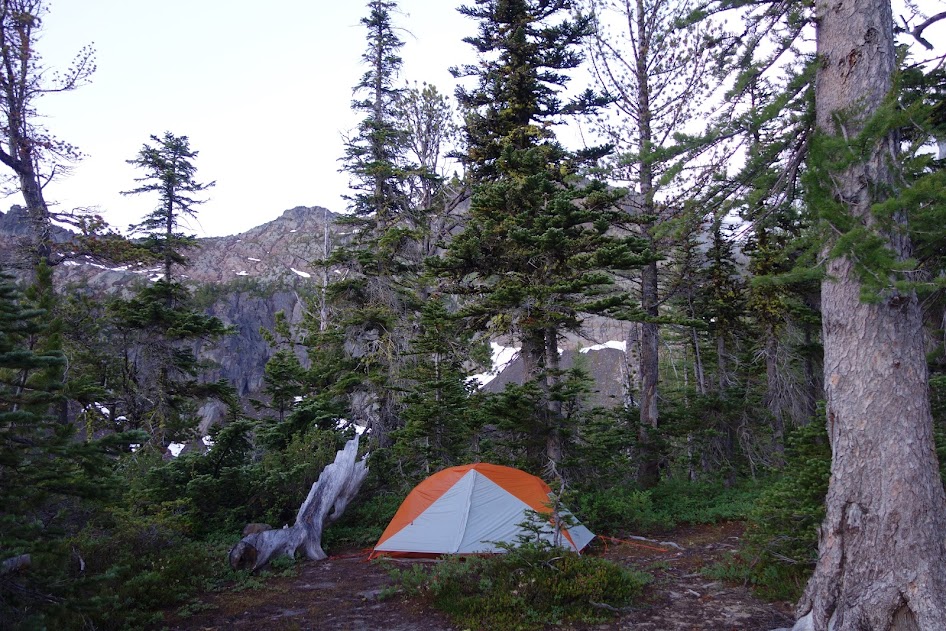
Campsite selection is key during gusty wind and heavy rain storms. This site was PERFECT!
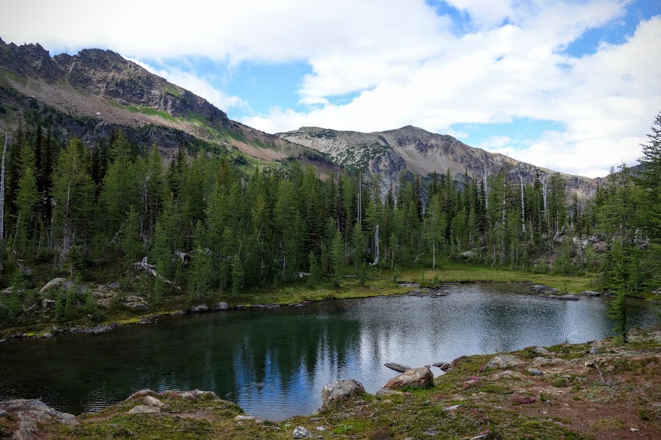
The incoming storm and worsening conditions prevented me from discovering Cup Lake.
Hello Larch Tree!
Goodbye Chiwaukum Lake . . .
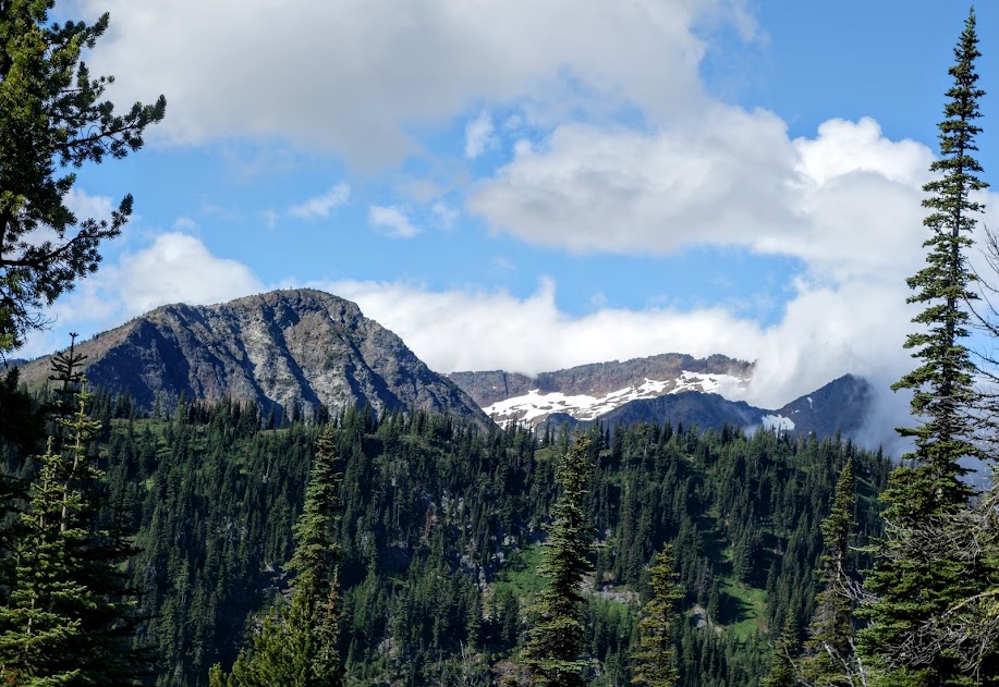
It was finally time to say goodbye to the Chiwaukum Creeks trails and head to McCue Ridge.
I’m sure McCue Ridge would have provided some spectacular views, but alas it was a day of low clouds and precipitation.
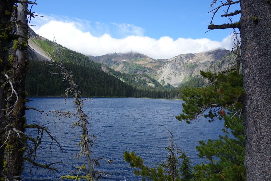
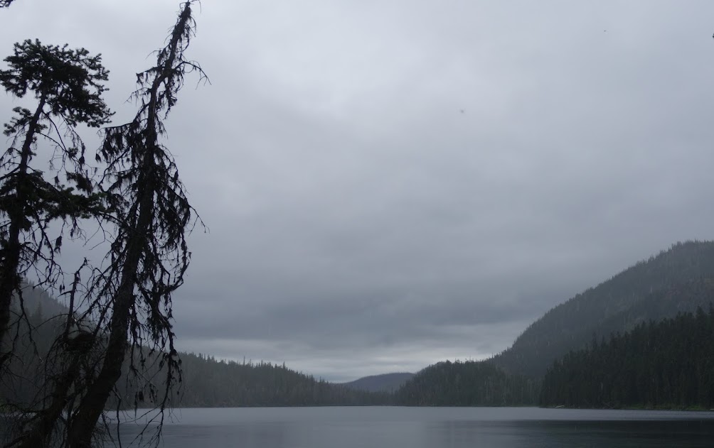
Loch Eileen (after a very stormy night in a less than ideal campsite).
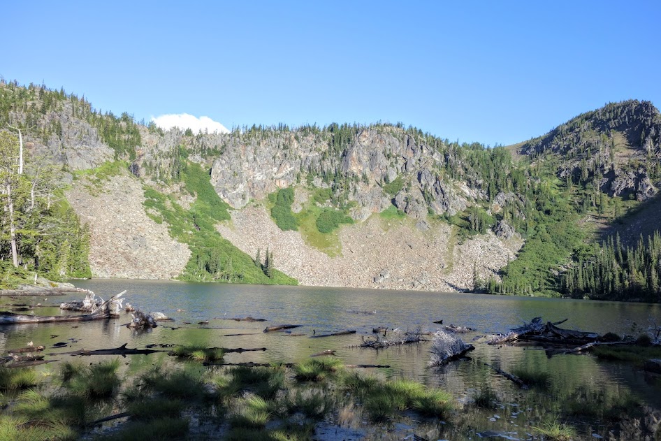
Lake Julius

Lake Ethel
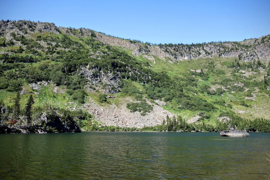
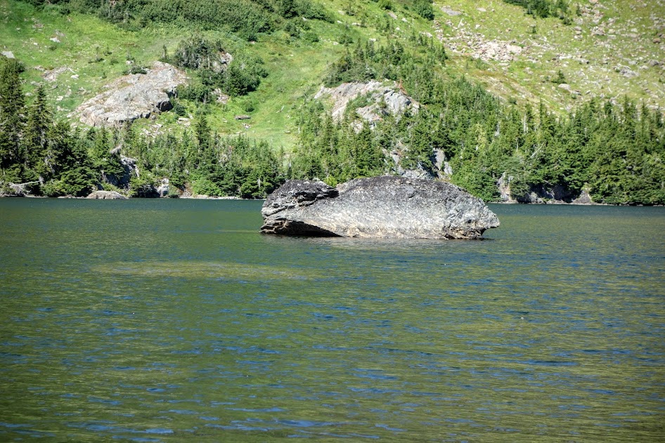
Who lives at Lake Ethel? To me it looks like a fish with a frog on it’s back, or maybe a mama whale and her baby?
I enjoyed this ridge walk though an old clear cut . . . easy to appreciate views and freedom after all the bushwhacking and trail finding I’d done.
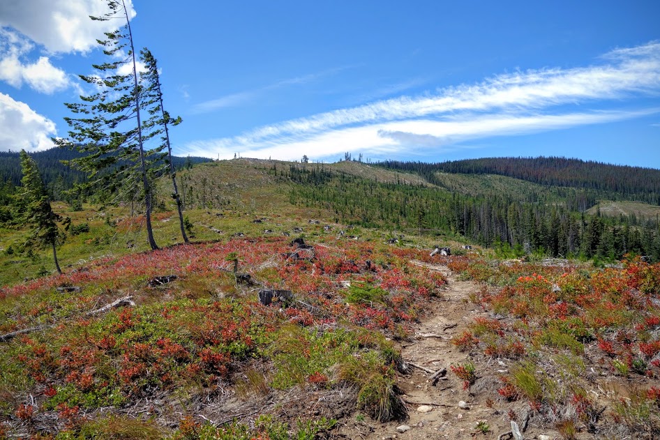
After the ridge walk, it’s a steep descent down to the Lake Ethel trailhead and Highway 2.
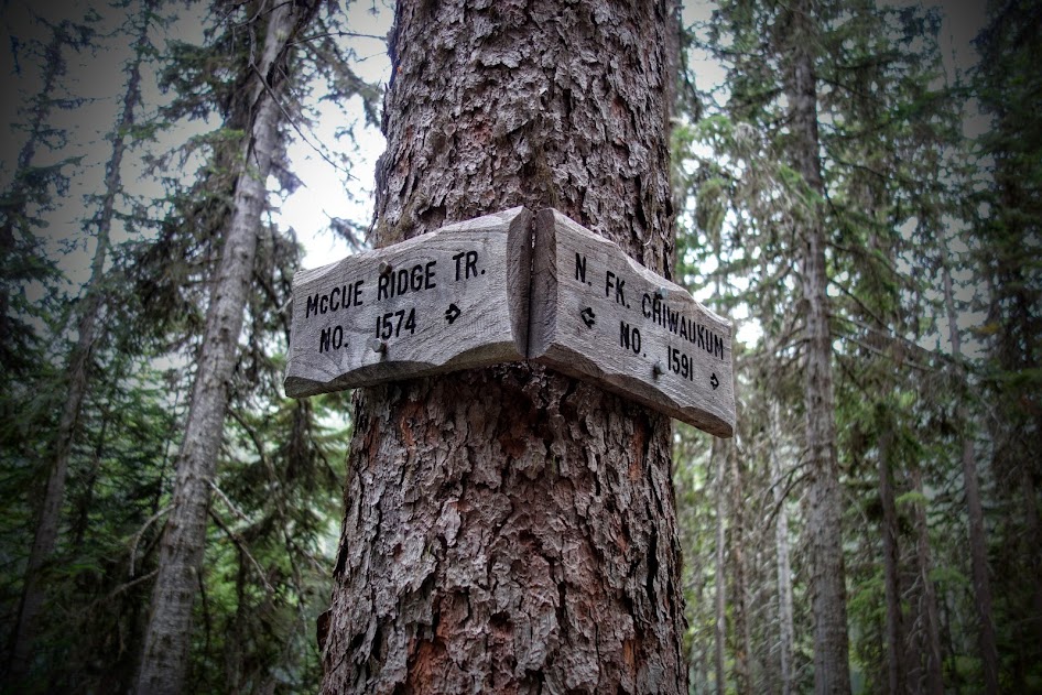
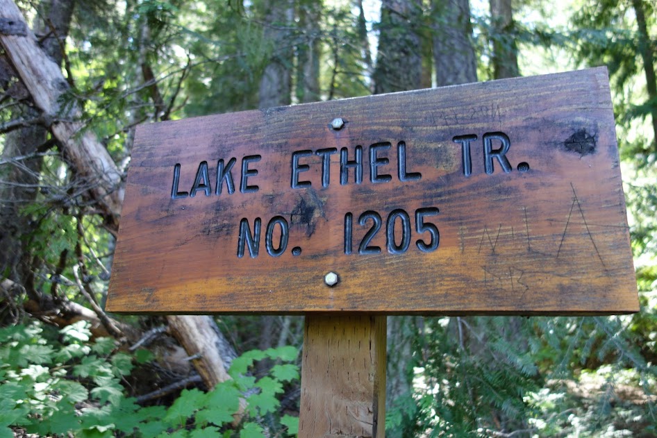
This sign was confusing, as my map listed this as trail #1585. All the rest of the signed trail numbers matched my map. I’ve also seen this referenced as the Gill Creek trail (I believe that’s how it’s signed on Highway 2).
To complete the loop, I walked Roads 6940 and 6950. Lucky for me a couple of miles before my car, a nice couple who’d just completed a 3-day backpack trip were headed out and turned around to give me a lift.
This Chiwaukum Mountains circumnavigation route was about 50 miles with 15,000′ gain and loss. My solar charger broke so I wasn’t able to track the entire trip thus I don’t have accurate stats for elevation gain/loss and mileage. On the below map, the red was my tracked trip vs the purple was estimated.
The trail sections marked below in green are well maintained; those in red have NOT been maintained.
- 2.4 miles – White Pine Trailhead to Whitepine Creek
- 5.7 miles – Whitepine Creek to Lake Grace Junction
- 1.1 miles – Lake Grace Junction to Lake Grace
- 1.1 miles – Lake Grace to Lake Grace Junction
- 0.9 miles – Lake Grace Junction to Frosty Pass
- 0.9 miles – Frosty Pass to Lake Mary
- 2.0 miles – Lake Mary to Icicle Ridge Junction
- 1.8 miles – Icicle Ridge Junction to Chatter Creek Junction
- 1.5 miles – Chatter Creek Junction to Index Creek Junction
- 2.8 miles – Index Creek Trail
- 1.7 miles – South Fork Chiwaukum Creek from Index Creek to Painter Creek
- 1.5 miles – South Fork Chiwaukum Creek from Painter Creek to Chiwaukum Creek
- 1.8 miles – Chiwaukum Creek from South Fork Chiwaukum Creek to Glacier Creek
- 2.3 miles – Chiwaukum Creek from Glacier Creek to Chiwaukum Lake
- 2.1 miles – Chiwaukum Lake to Larch Lake
- 2.1 miles – Larch Lake to Chiwaukum Lake
- 3.4 miles – Chiwaukum Lake to Roaring Creek
- 1.1 miles – Roaring Creek to Loch Eileen
- 1.1 miles – Loch Eileen to Roaring Creek
- 2.6 miles – Roaring Creek to Lake Ethel
- 4.6 miles – Lake Ethel to Lake Ethel Trailhead
- 6.0 miles – Roads 6940/6950
Dates Hiked: August 3-9, 2016
Resources:
- Wenatchee & Leavenworth, Washington Trail Map by Adventure Maps
- Alpine Lakes Wilderness [Mt. Baker-Snoqualmie and Okanogan-Wenatchee National Forests] (National Geographic Trails Illustrated Map)
- Backpacking Washington’s Alpine Lakes Wilderness: The Longer Trails (Regional Hiking Series)
- Backpacking Washington: Overnight and Multi-Day Routes
- Washington Trail Association (WTA) – check trip reports for updated trail conditions
Jan’s Tips:
- Consider accessing the nicer sections (above 6,000′) via more popular trails
- If you plan to hike the unmaintained trail sections, be sure to have good maps, compass and if like me you’ll find GPS very helpful. Also be prepared for bushwhack conditions and plenty of solitude.
- As I’ve learned, rain can happen anytime in the Washington Cascades. I used my rain gear, including my umbrella.
- Be prepared for biting flies. They were horrendous!
- I recommend Heidleburger Drive-In in Leavenworth for post-trip celebration. Onion rings were A+!
- For help with trip planning, I recommend Leavenworth Mountain Sports.
- Permits are by self-registration at the trailhead.
- More Jan Jaunts posts in Washington and Alpine Lakes Wilderness