
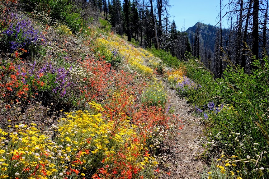
In addition to the debut of a PCT Swimmer’s Route (blog link), there were plenty of wildflowers to be found between swimming destinations. These photos were taken on a 35-mile section between Carter Summit and Man Eaten Lake.
Collomia grandiflora (Large-flowered collomia)
My book calls the blue in the center pollen; I assumed it was stamen. It’s been a few years since I’ve seen these so I was excited to find them along the trail. I’ve never seen them in groups or patches, always solo with maybe one companion. Hey, that describes me.
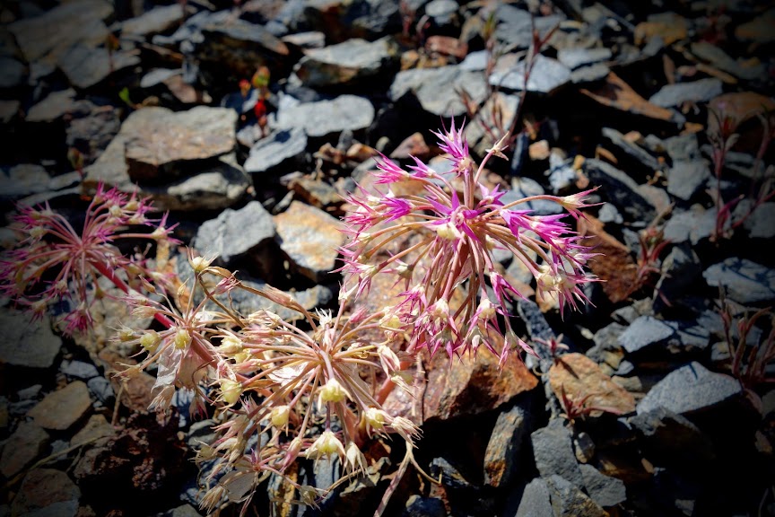
Allium
I should have taken more photos. These plants were so whimsical.
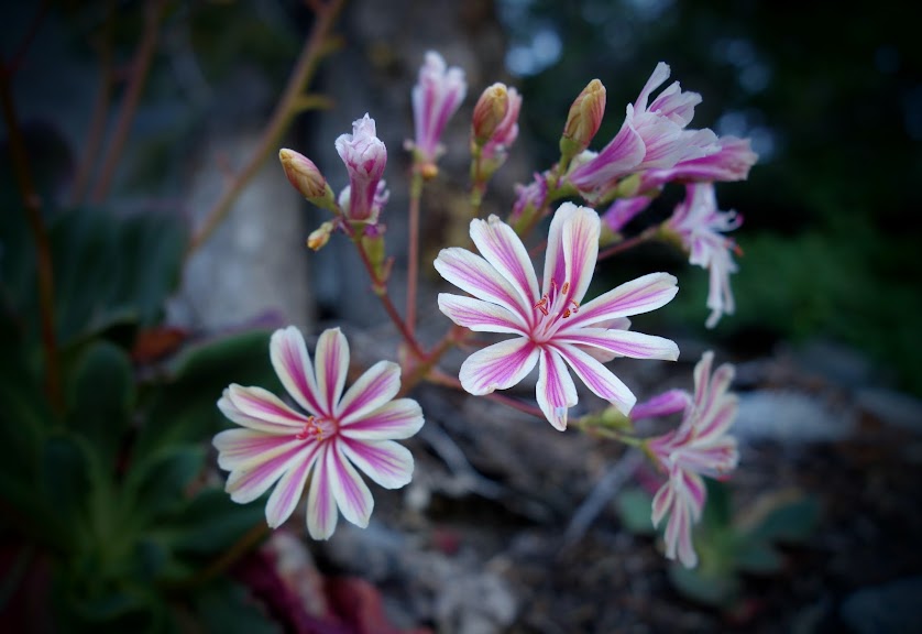
Lewisia cotyledon, Siskiyou lewisia
These beauties were fairly plentiful along this section of the trail.
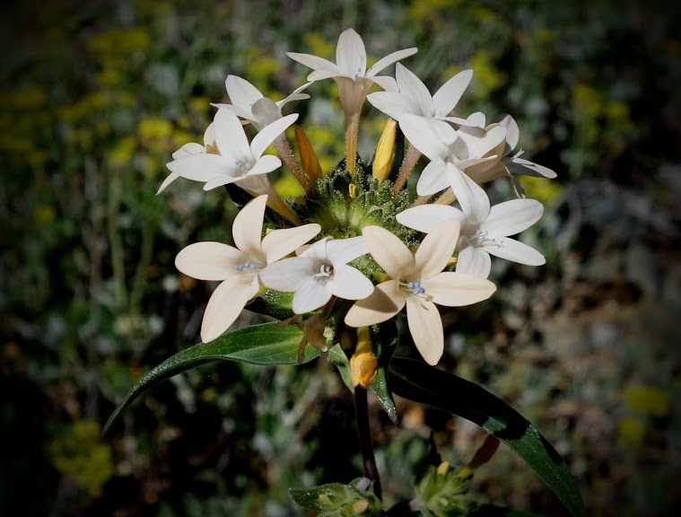
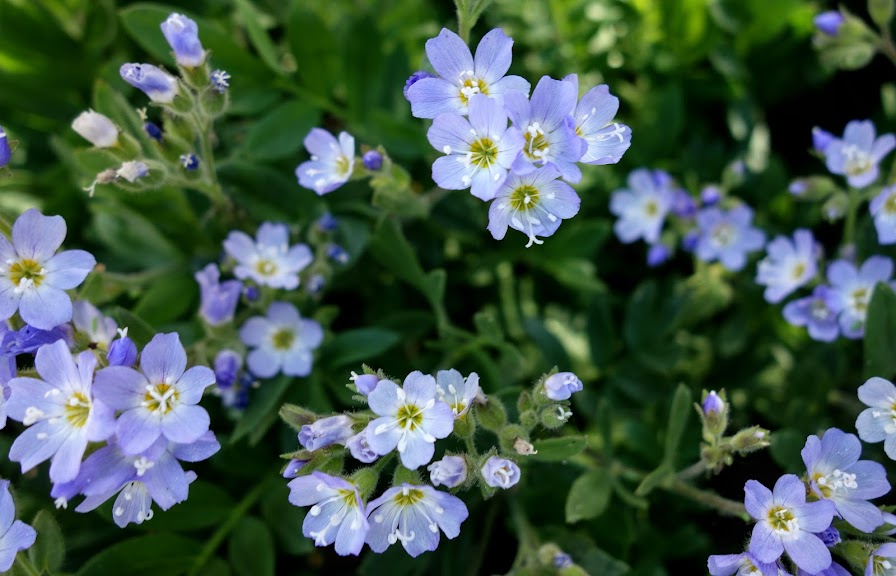
Polemonium ? Jacob’s Ladder ?
I wasn’t able to easily identify these. These blooms were a rare sighting on the trail.
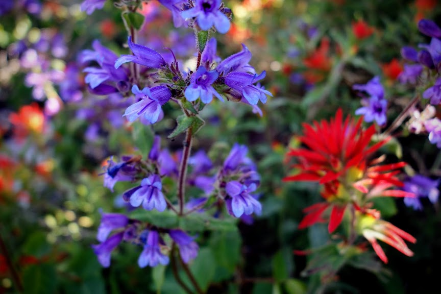
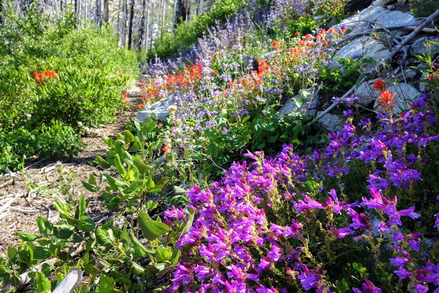
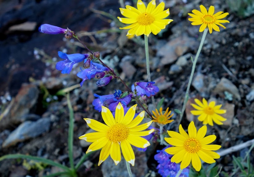
Penstemon and Paintbrush
There were multiple varieties of penstemon along the trail and it probably the most plentiful bloom on this trip.
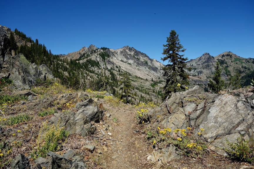
There were several varieties of yellow flowers along the trail. They added a nice punch of color.

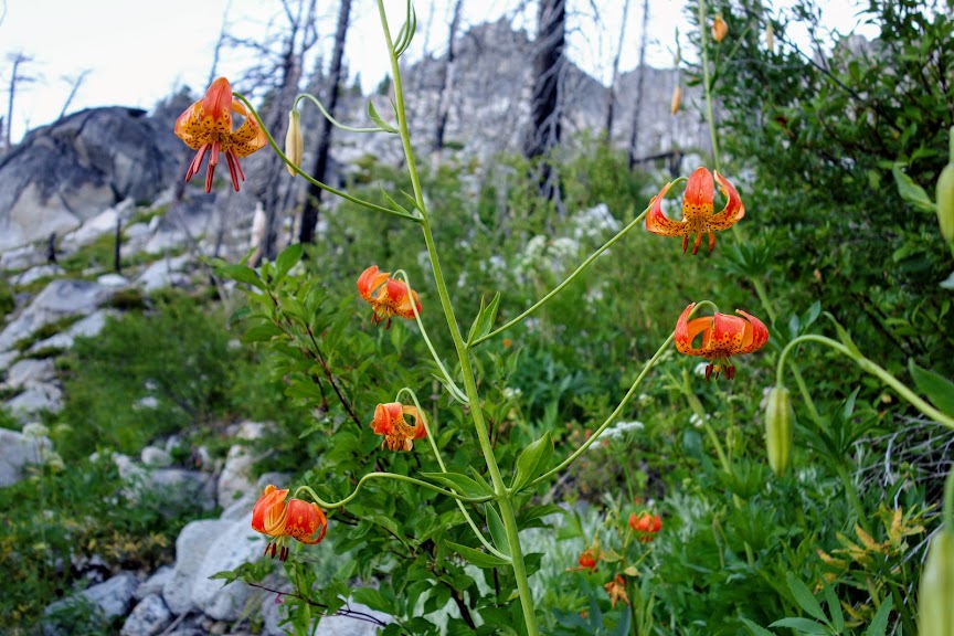
In wet areas I found Leopard Lily. Tigers have stripes, leopards have spots. At least that’s what I was told by a local botanist.

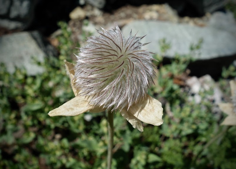
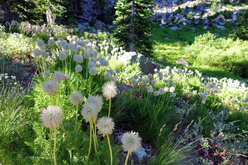
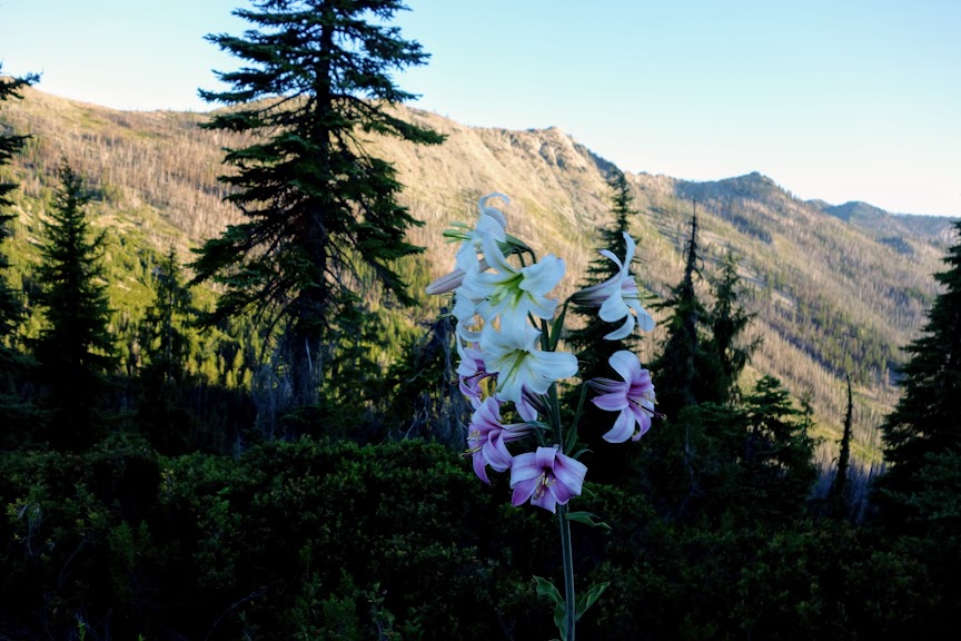
Western Pasqueflower aka Anemone occidentalis
The first of the season Dr. Seuss mop heads. It was still a bit too early to find the best messy hair versions.
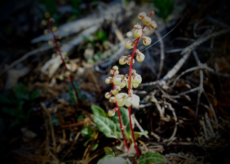
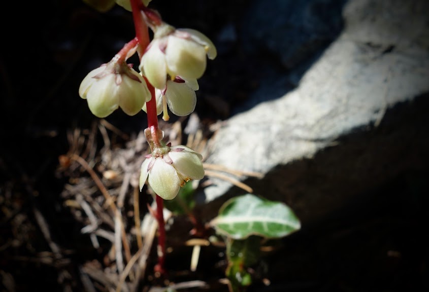
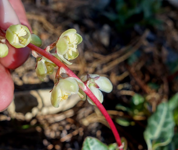
Pyrola crypta (Pine-drops)
This was by far my most exciting find. I had yet to see blooming pine-drops.
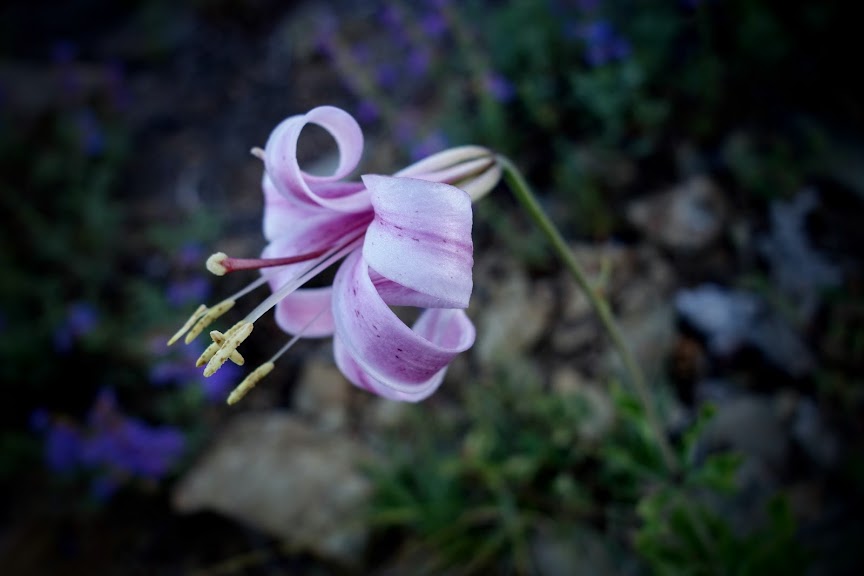
Lilium rubescens, Chaparral Lily, Redwood Lily
Not positive on the ID, but loved smelling these lilies before seeing them. They were just starting to bloom. I saw a lot more buds than blooms. Such showstoppers!
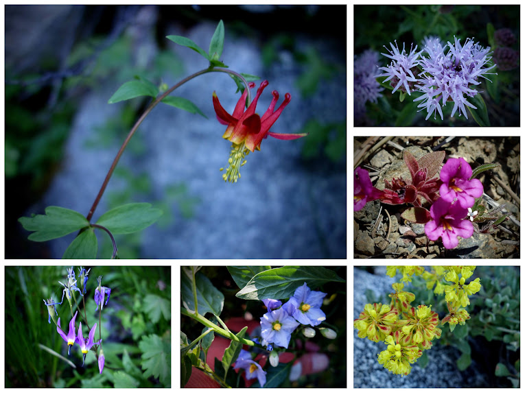
And a few more just because I can never get enough.
Adventure Date(s):
- July 8-14, 2020
Hike Details:
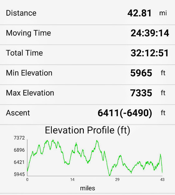
This is my one-way track from Carter Summit to Man Eaten Lake. It includes the lakes I visited as I hiked north but not the ones from the southbound trip. I’d say it’d be fair it was around 85 miles with 13,000 feet of elevation gain and loss.
Tips:
- Order your map in advance or call the ranger station to see if they have available.
- Obtain your California campfire permit online in advance (it’s required for your backpacking stove).
- Mileage in Art’s book were quite different than those I obtained from my Gaia track and noted above.
- Guthook/Atlas app is great for viewing current water conditions.
Resources:
- USFS – Russian Wilderness
- USFS – Klamath National Forest, Marble Mountain Wilderness
- USFS – Marble Mountain Trails
- USFS – Marble Mountain Trail Conditions
- Map – USFS, Marble Mountain and Russian Wildernesses
- Book – Best Hikes of the Marble Mountain and Russian Wilderness Areas, California by Art Bernstein
Links:
I participate in the Amazon affiliate program and may receive a commission on qualifying purchases linked in this post. It doesn’t affect your price but it helps support this site.
