This past April marked my inaugural drive on Highway 20 through the North Cascades. Those mountains looked like my kind of playground. I knew I’d return. 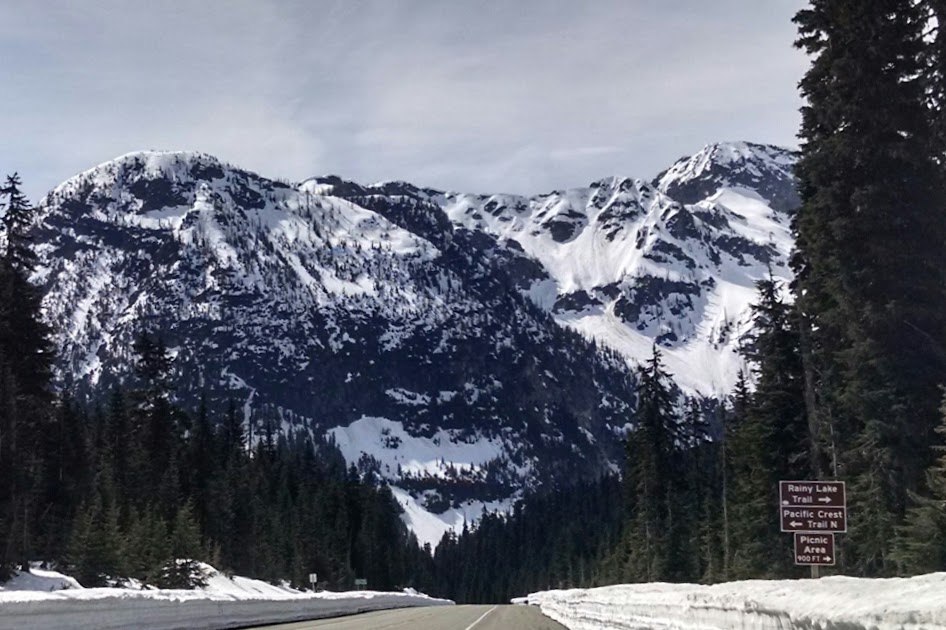
So here I was driving west, whispering I’ll be back to the PCT crossing at Rainy Pass as I continued onward to the Marblemount Ranger Station to hatch a plan. My request was views, ridges, and alpine terrain minus crowds of August backpackers. Ranger Anton recommended the Devils Dome Loop. Armed with maps and trail resources it was adventure time! 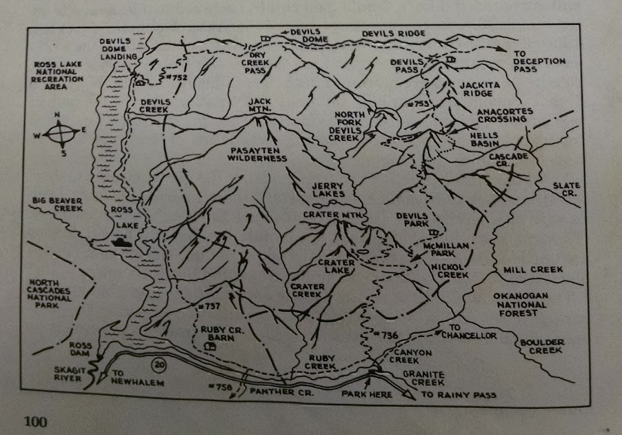
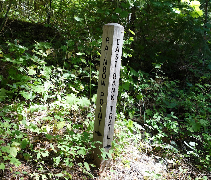
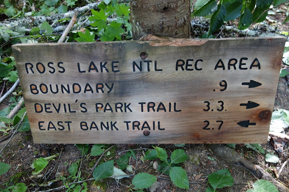
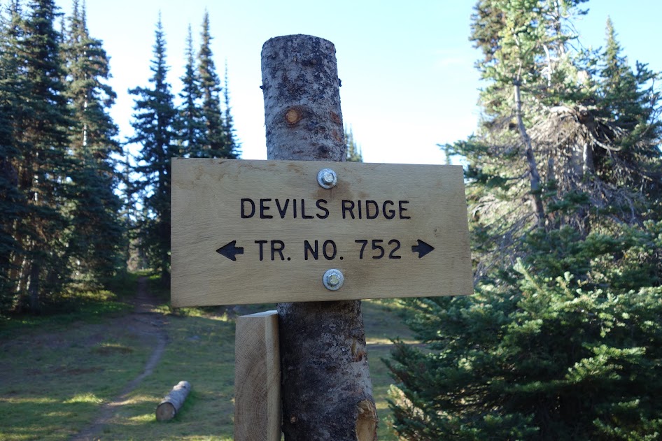
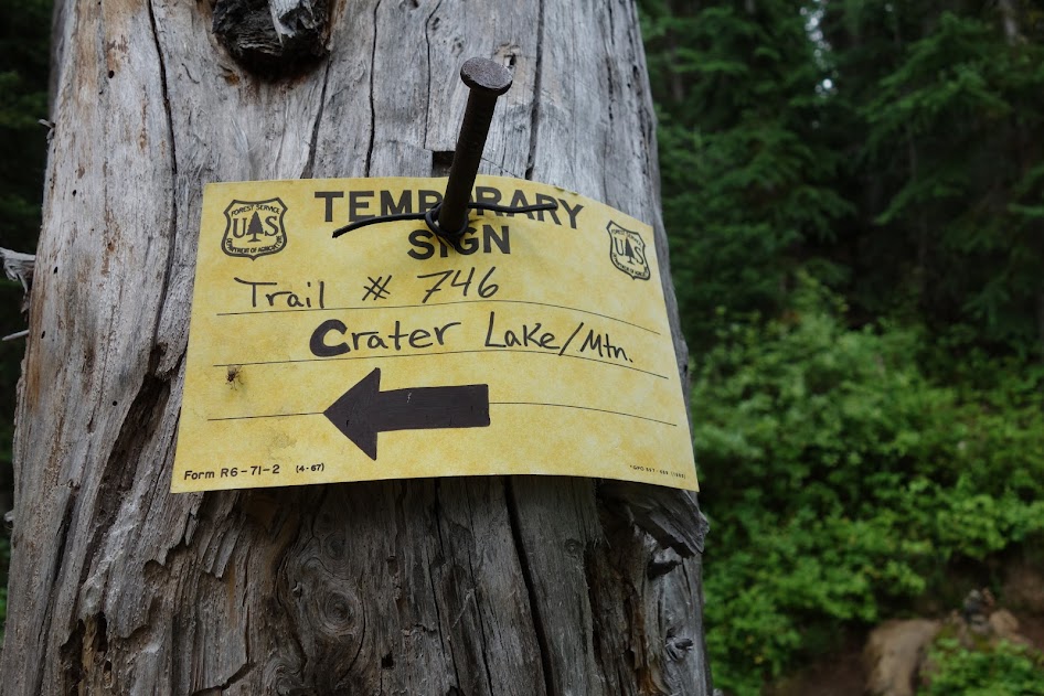
I parked at the Canyon Creek Trailhead (aka Granite Creek) and was greeted by this sign, a bit confusing to say the least. I find I’m heading toward Jackita Ridge on Trail 738 (listed incorrectly as 736 on the above map). The Chancellor trail is not listed on neither the National Geographic nor North Cascades maps I’m using. I’m hiking the loop counterclockwise (I’ll provide pros and cons to trip direction in a later post).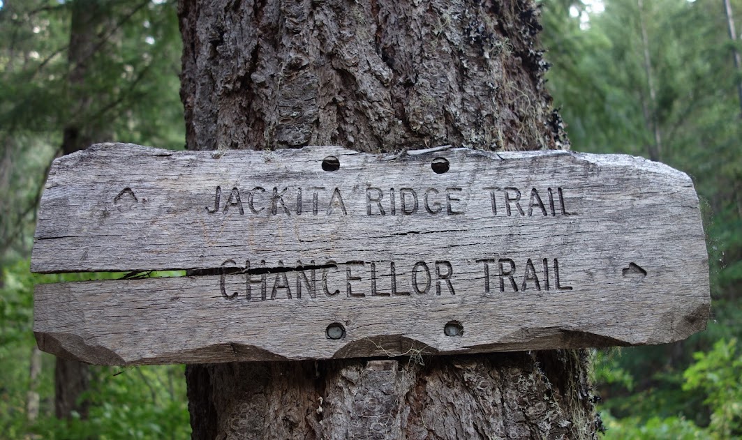
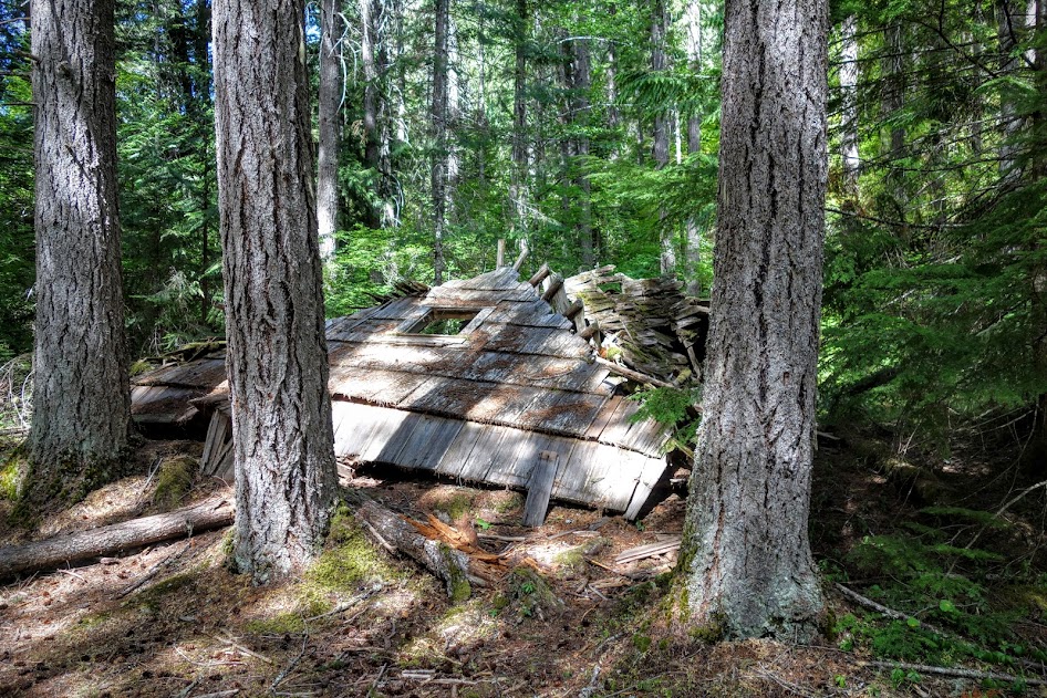
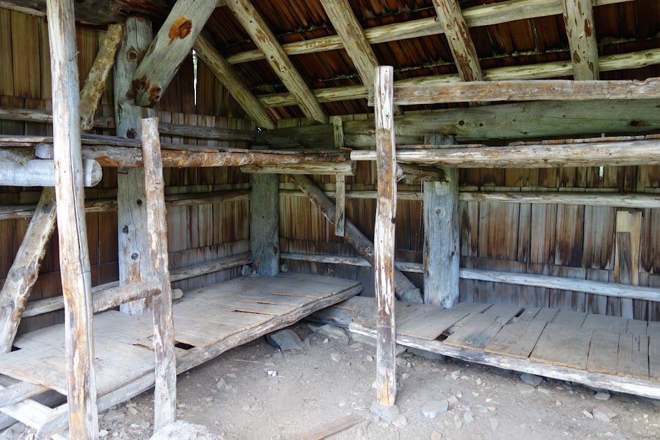
An old cabin, maybe old ranger station, provides fuel for wonderment. 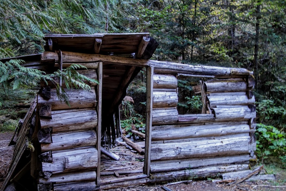
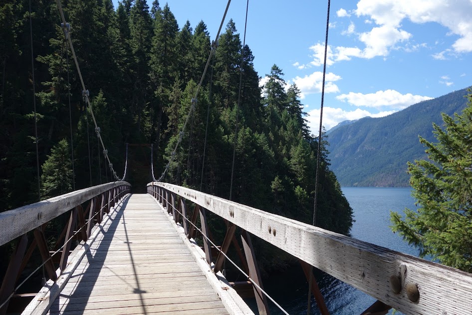
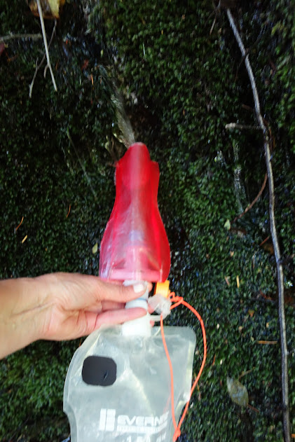
It’s always nice to skip early trip wet feet and creek fords. 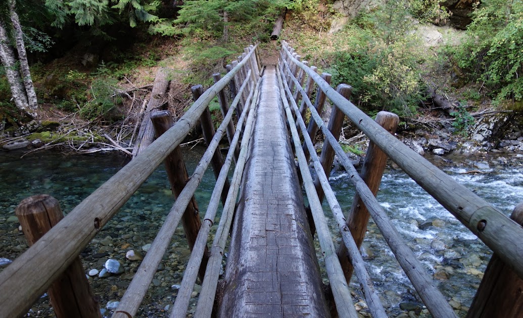
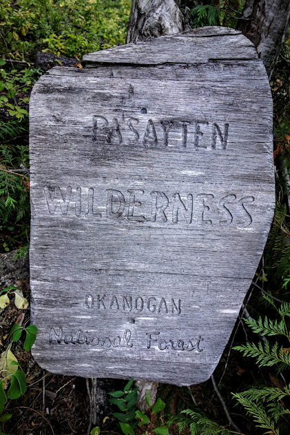
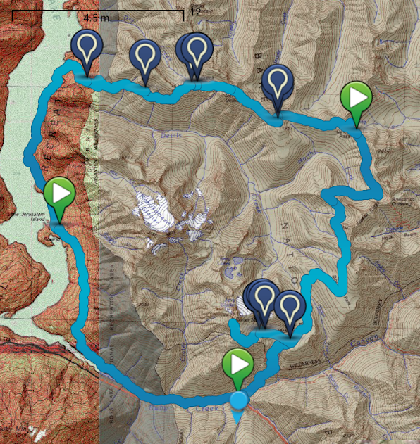
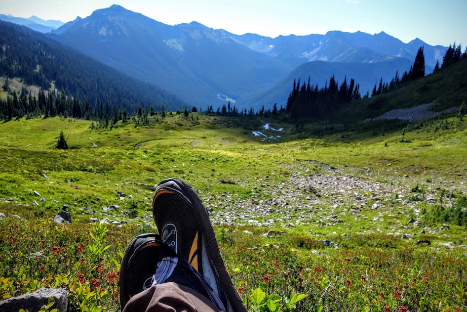
This trip crosses several boundaries including the Pasayten Wilderness, North Cascades National Park and Ross Lake National Recreation Area. It also includes sections of the Pacific Northwest Trail (PNT).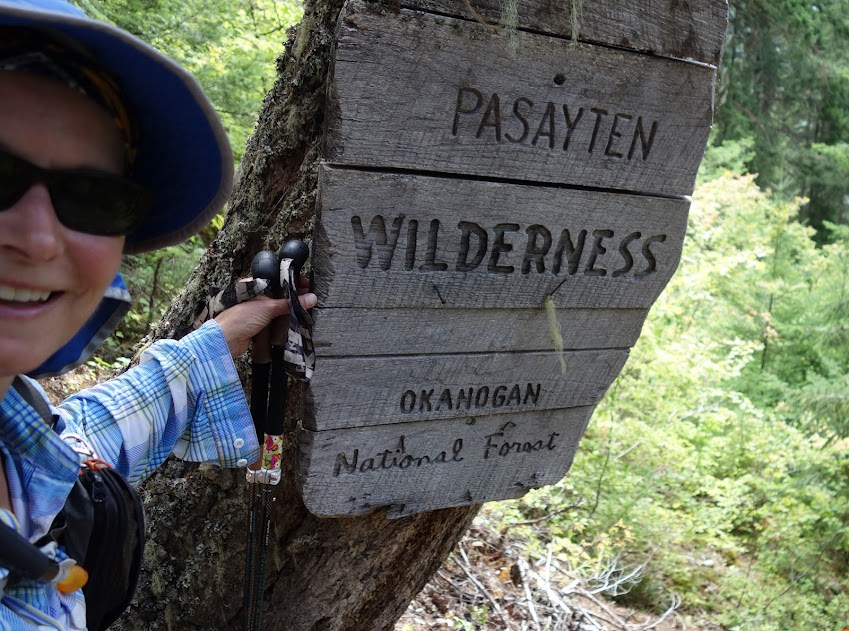
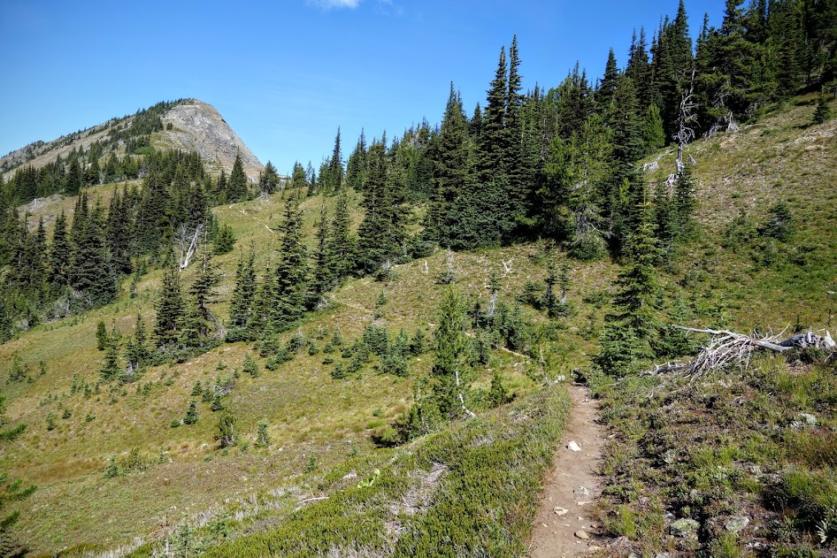
The trail was in fairly good shape with only a few sections of down trees and erosion. While the trail climbs over 3,000′ in about 4 miles, it had plenty of switchbacks, shade and water to make for a pleasant hike. 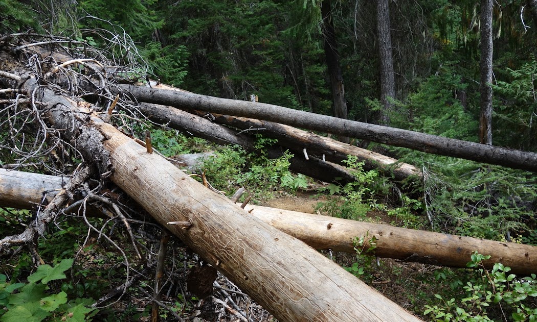
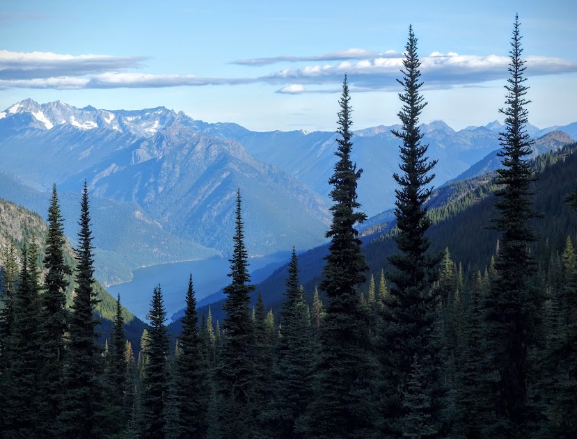
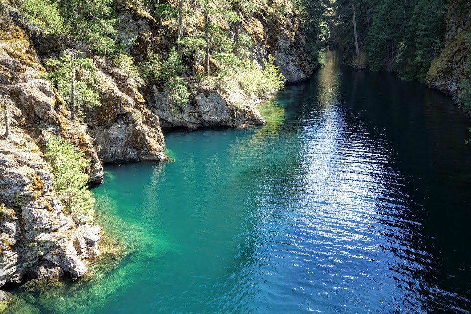
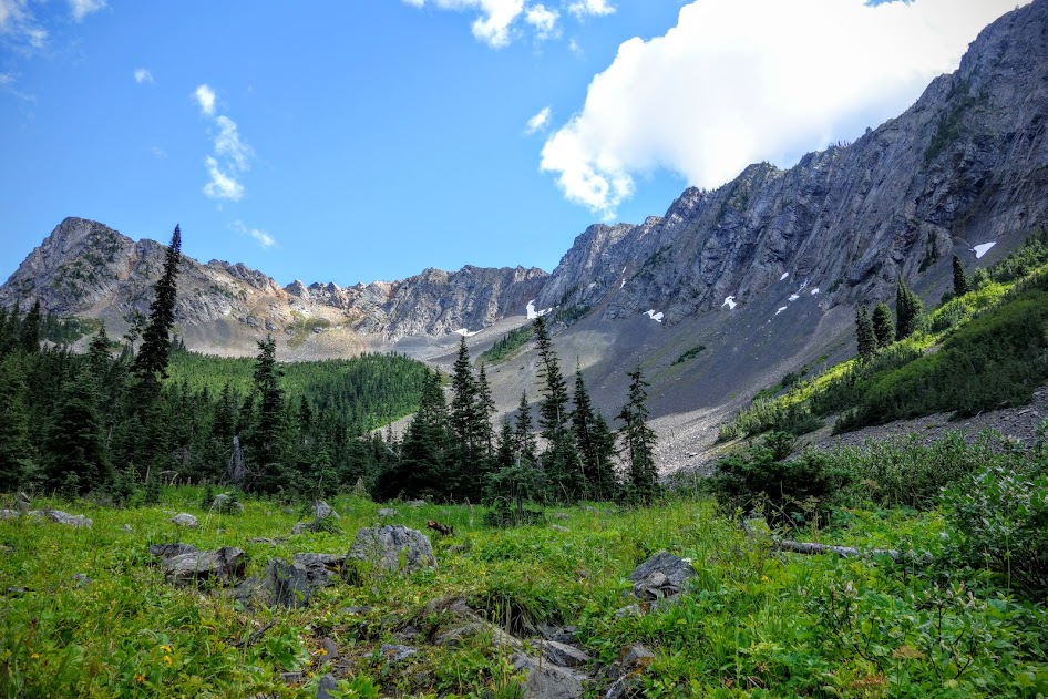
Hiking through the forest, views were mostly limited, but occasionally, you’d be offered something like this.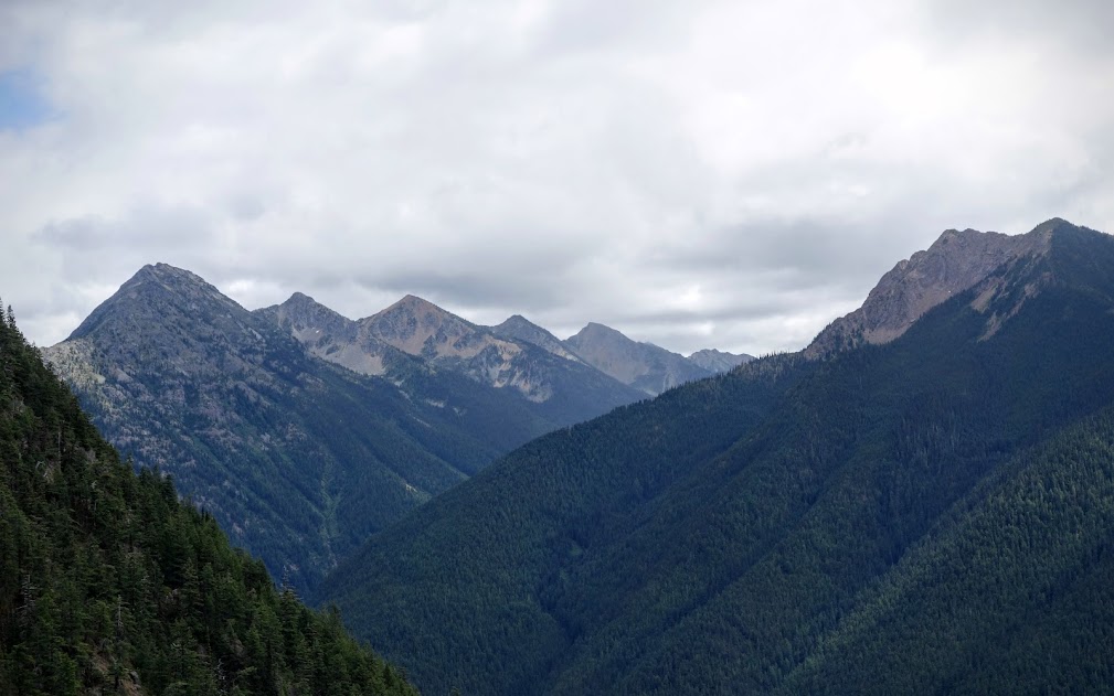 Part of the adventure is exploring side trails.
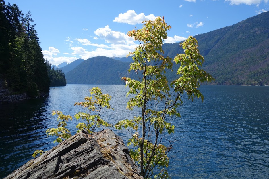
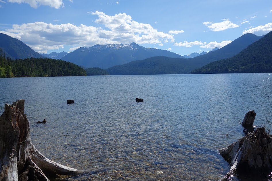
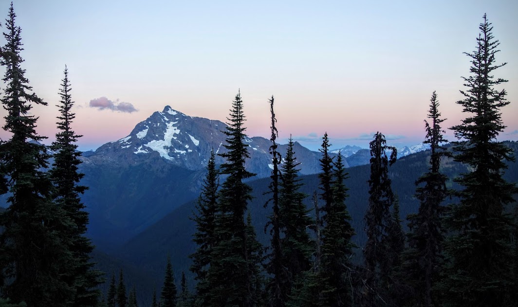
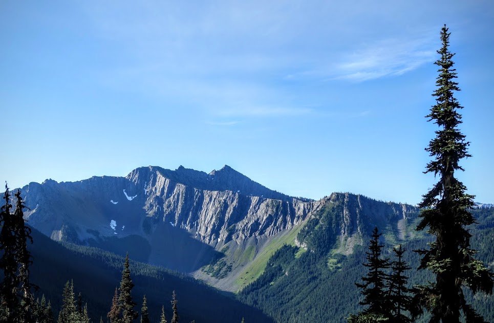
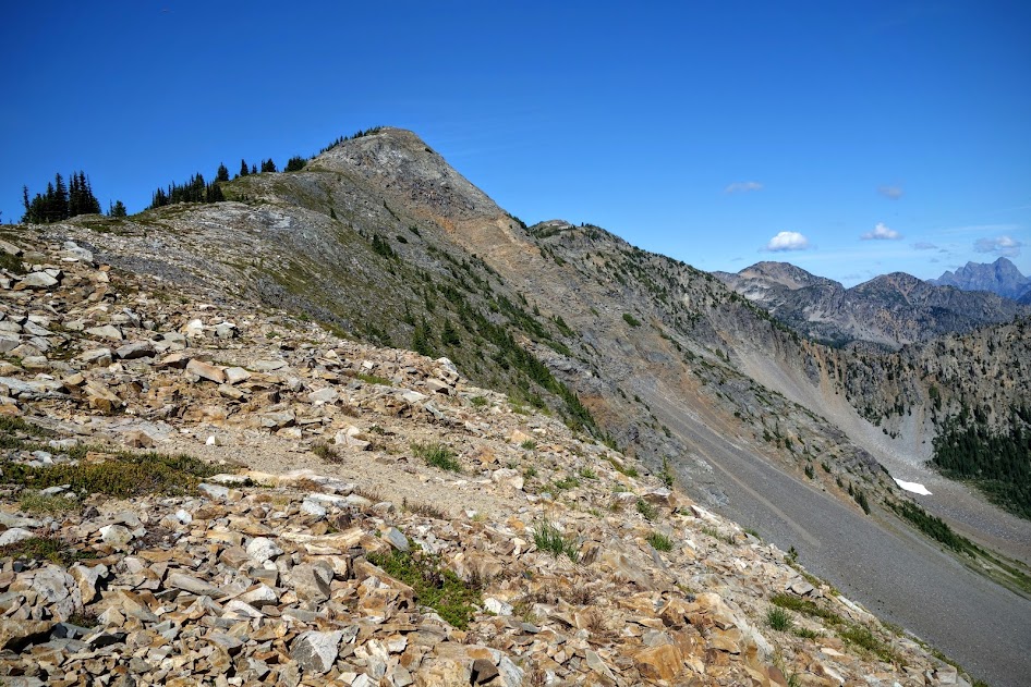
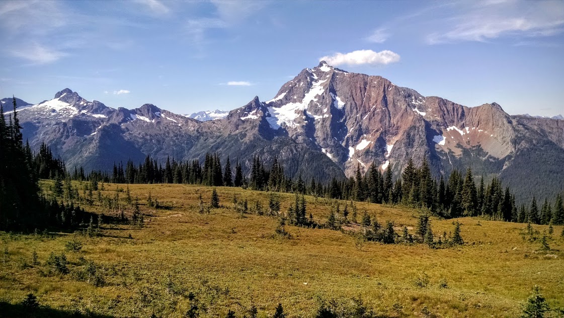
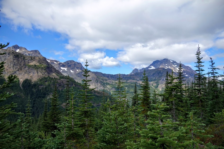
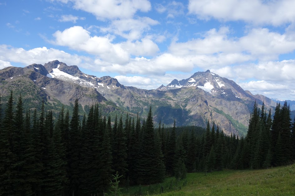
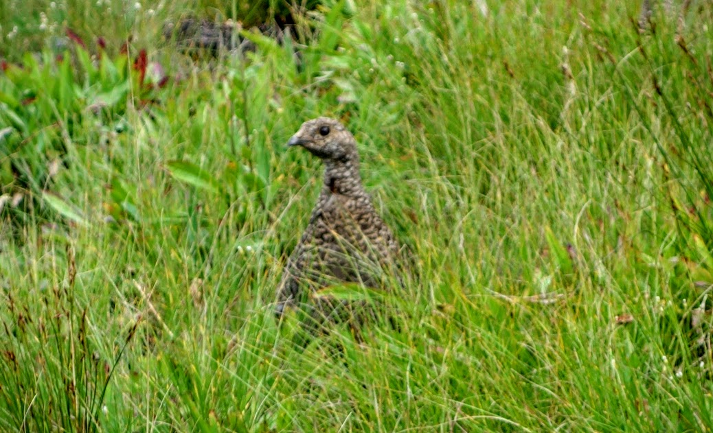
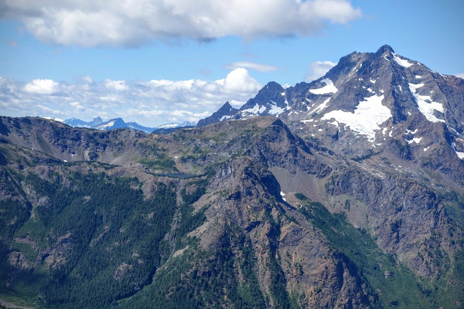
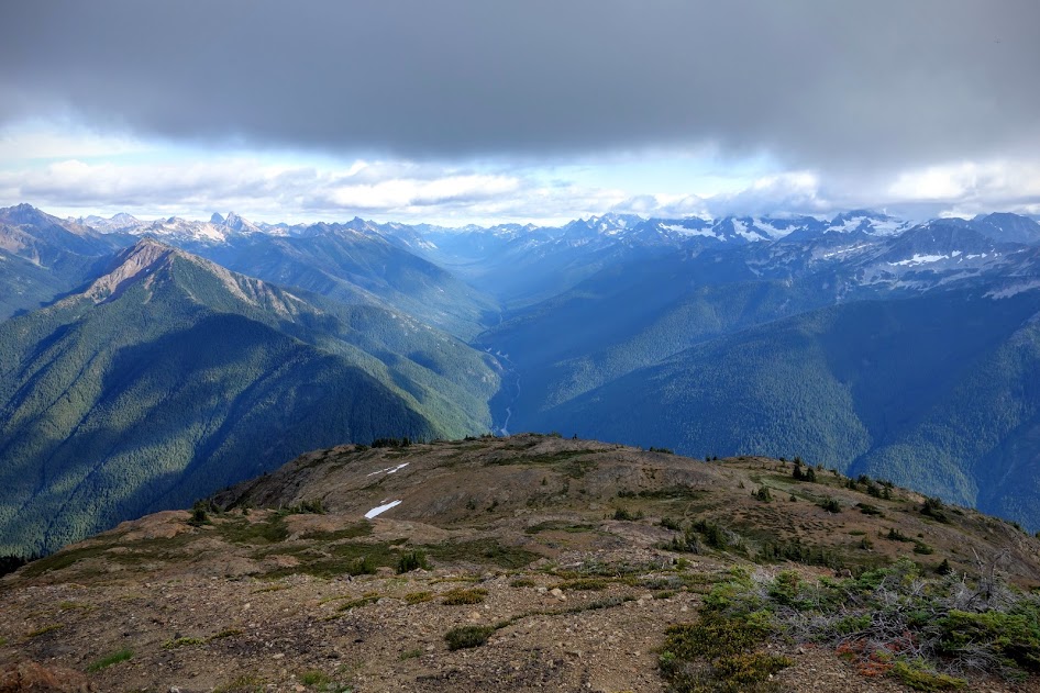
Who doesn’t like views like these? 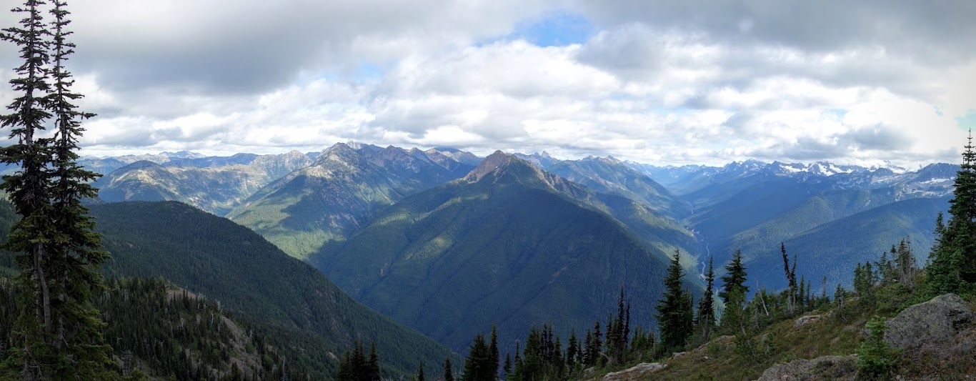
There are two summits on Crater Mountain, both which previously hosted lookouts. According to my guidebook, the slightly shorter one (7,054) could be accessed by a 2-mile trail, while the main summit at 8,128 requires climbers skills about 1/2 mile from the top. My goal was the secondary peak. 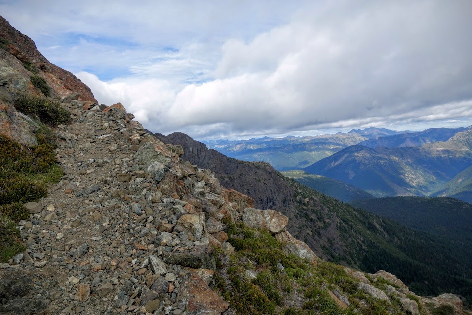
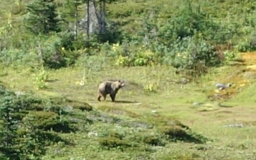
I’d started up Crater Mountain around 4pm after setting up camp near Crater Lake (a tiny shallow pond at 5,800′). I knew I’d need to manage my time and as always take extra precautions as a solo hiker. One of my safety measures is to send out a location from my InReach whenever I veer from my intended path. 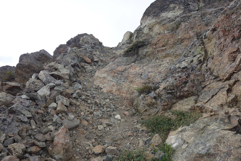
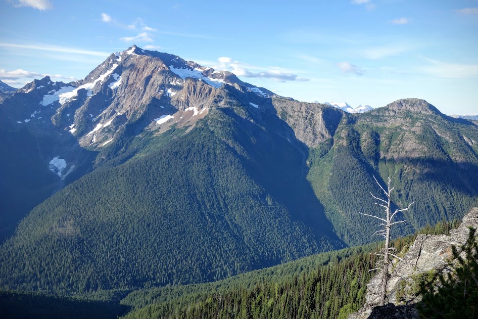
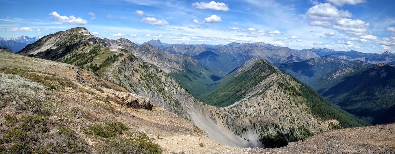
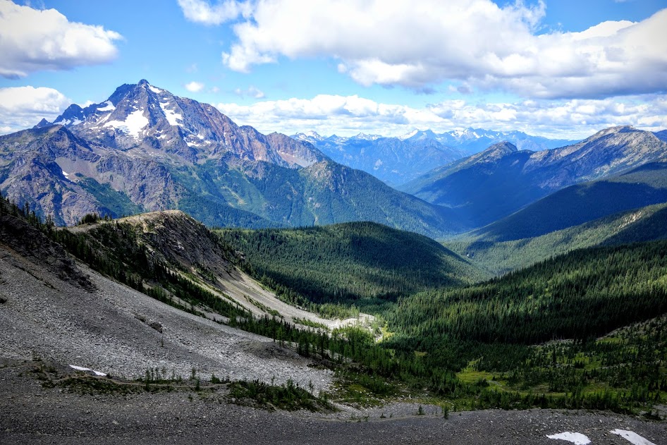
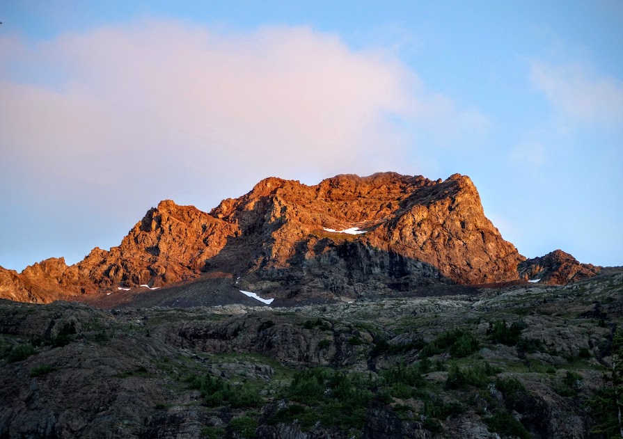
Hello Big Crater Mountain (you don’t look so big from this perspective). Hello views
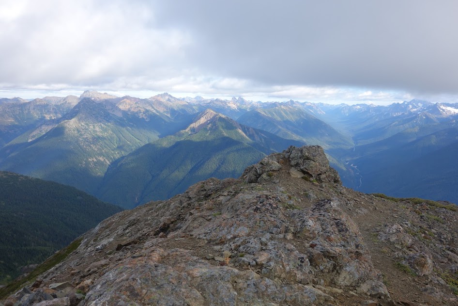
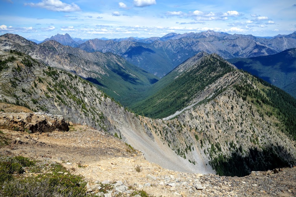
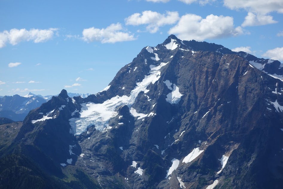
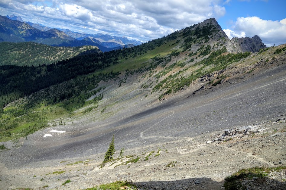
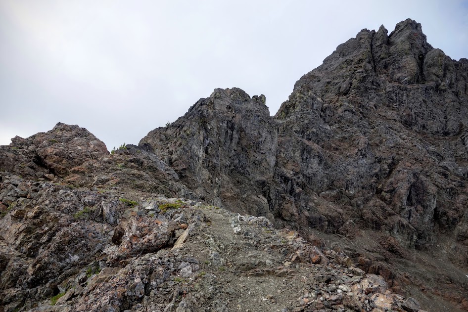
When I reached this sketch section, it was the turnaround point for me. If I had more time, I may have tried a bit of rock climbing, but with daylight my enemy, seeing Jerry Glacier and Jack Mountain would have to wait another day. 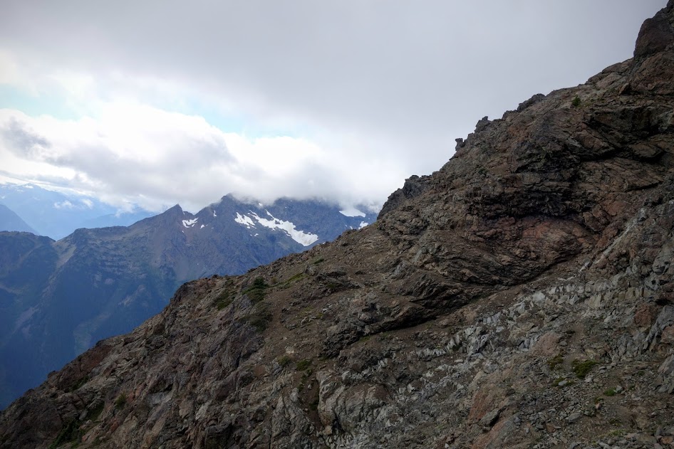
This was the last stretch before it became too much for me. 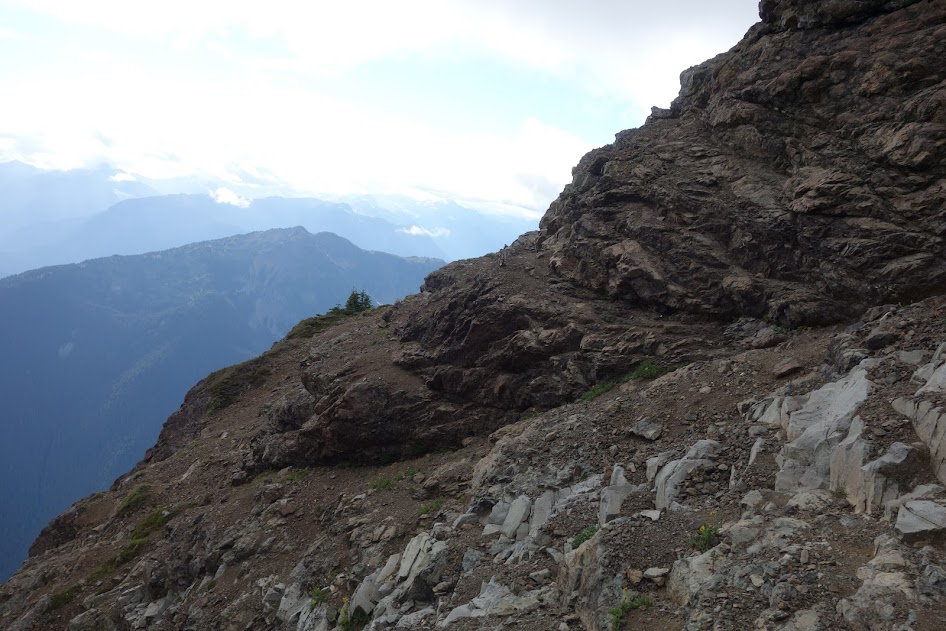
The blue line at the bottom is my track and you can see how close I got to the lookout site. 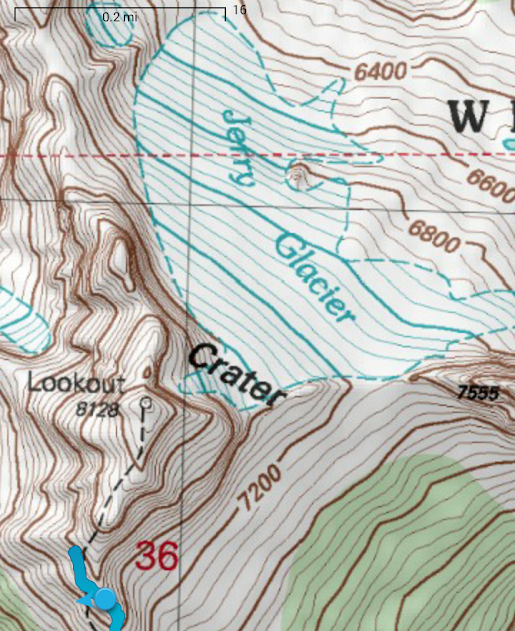
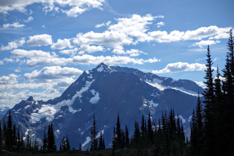
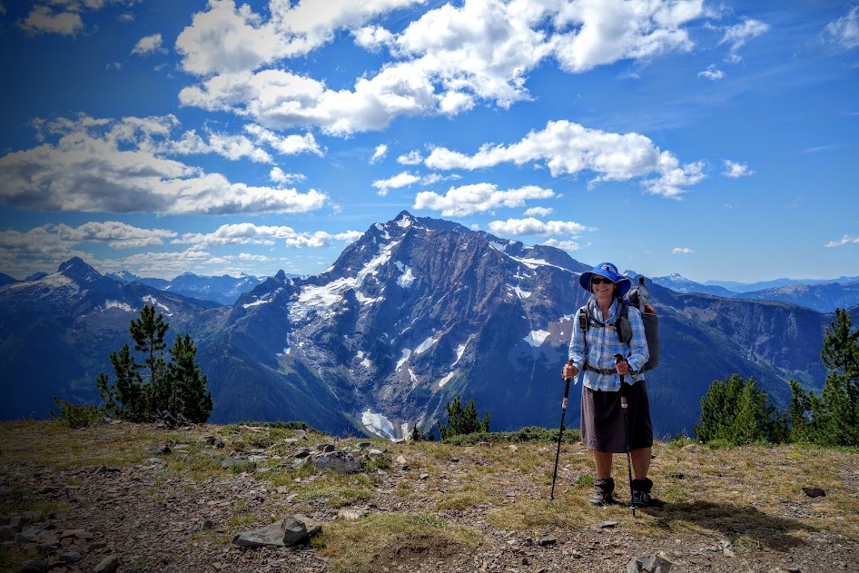
With these views, I was happy I’d at least tried. 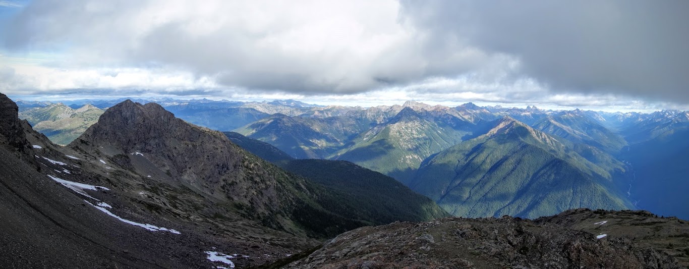
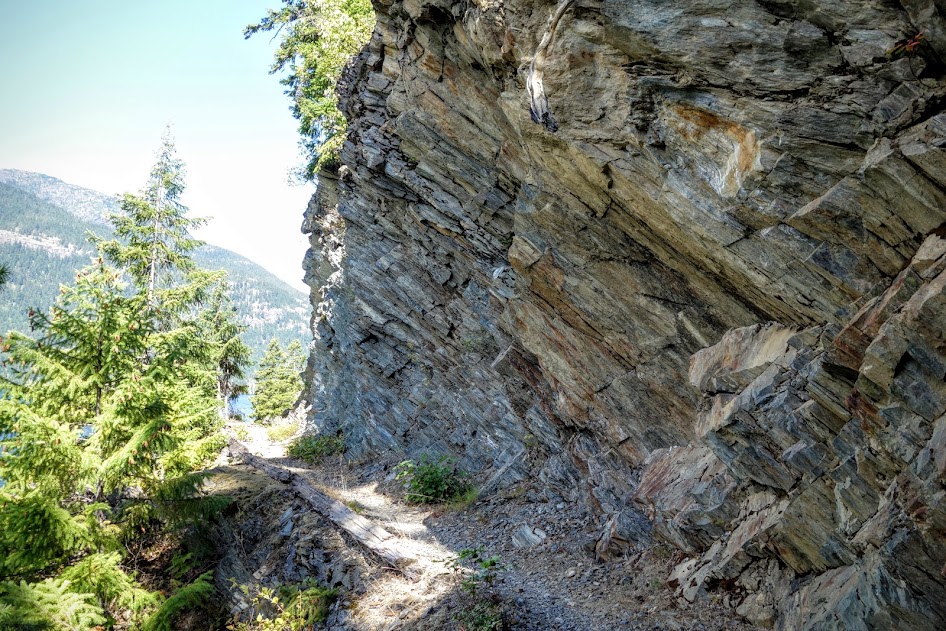
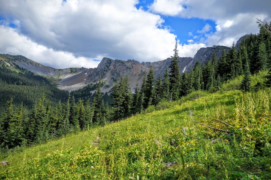
This was a fun section of the Crater Peak trail. 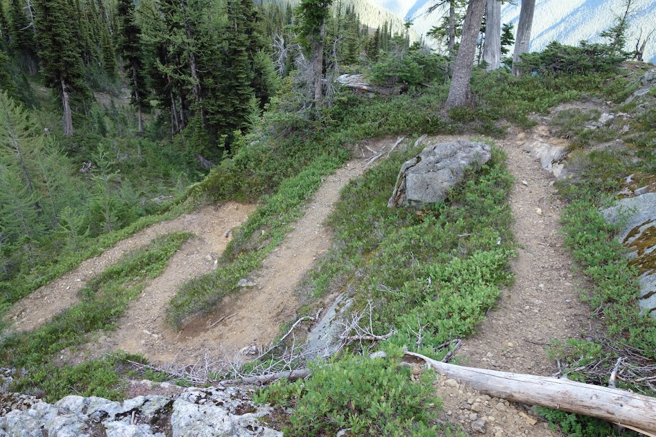
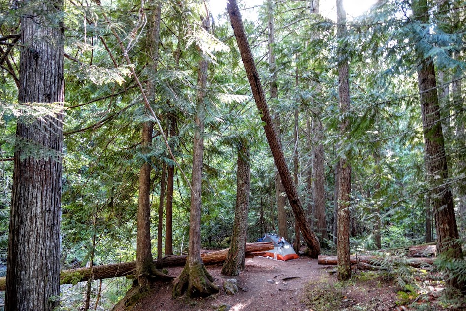
From my tent, I had a view of Crater Mountain. 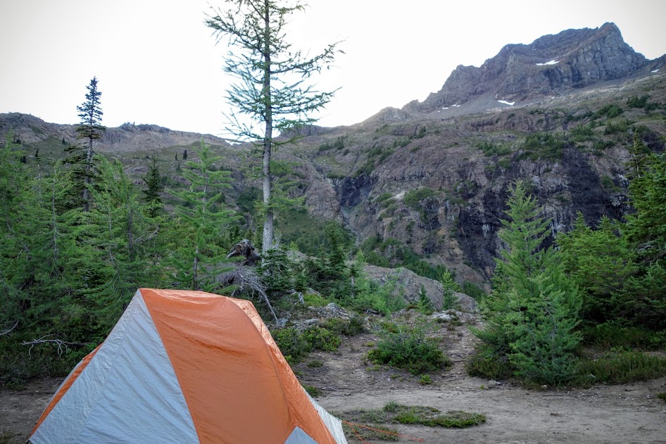
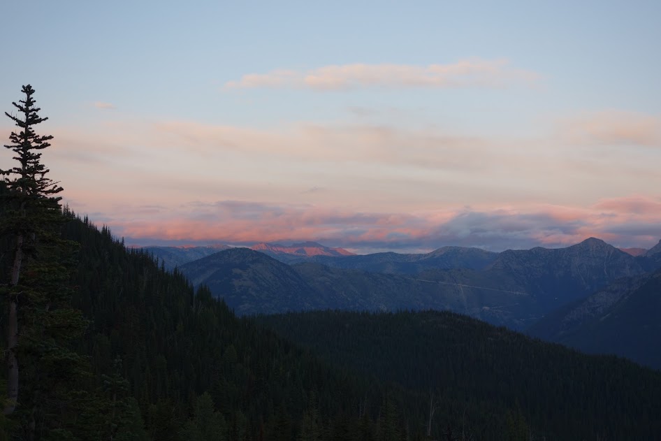
I love campsites where I have views, and can enjoy sunsets and sunrises. This offered all three!
to be continued . . .
Trip Details
- Dates Hiked: August 22-26, 2016
- Mileage: Approximately 50 miles
- Elevation Gain/Loss: Approximately 16,000′
- Trail Conditions:
- Day 1 – B+, only a few down trees and eroded trail
- Day 2 – C, scree field and steep eroded overgrown trail near North Fork Devils Creek
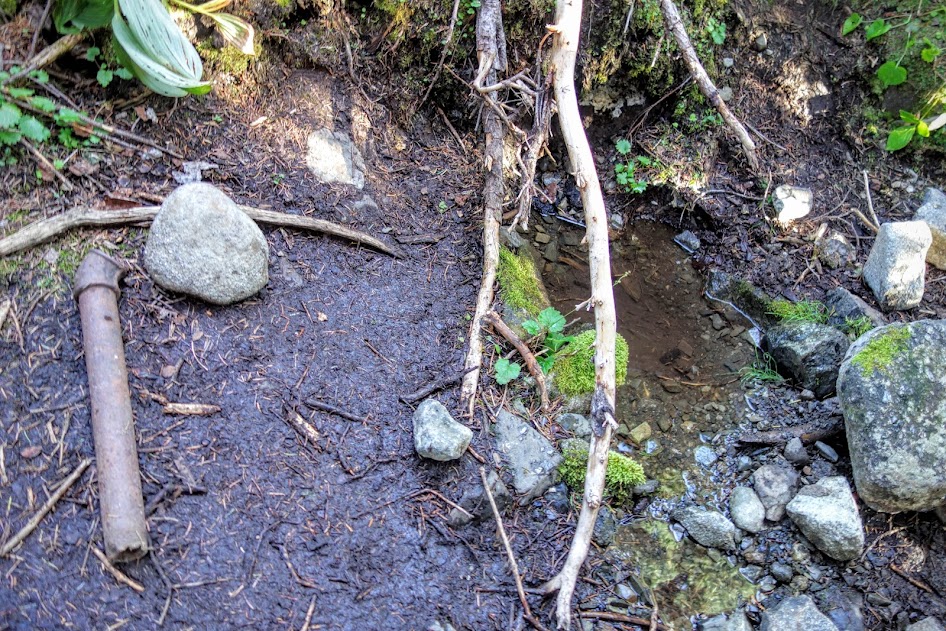
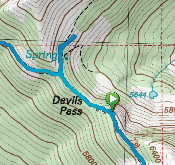
- Day 3 – A-, better signage needed for Deception Pass, Devils Pass shelter and Devils Pass spring
- Day 4 – C, steep and dusty descending from Dry Creek Pass
- Day 5 – B, not too many down trees nor overgrowth but could use some love
- Solitude Factor:
- Day 1 – two groups of 2 people each hiking out (one of the groups was day hikers)
- Day 2 – two tents at the Crater Mountain junction, one solo hiker hiking loop in opposite direction
- Day 3 – two at Devils Dome, two at Dry Creek Pass
- Day 4 – too many to count, probably at least 20 going the opposite direction up to Dry Creek Pass
- Day 5 – didn’t see anyone
- Bugs:
- Day 1 – no skeeters or biting flies
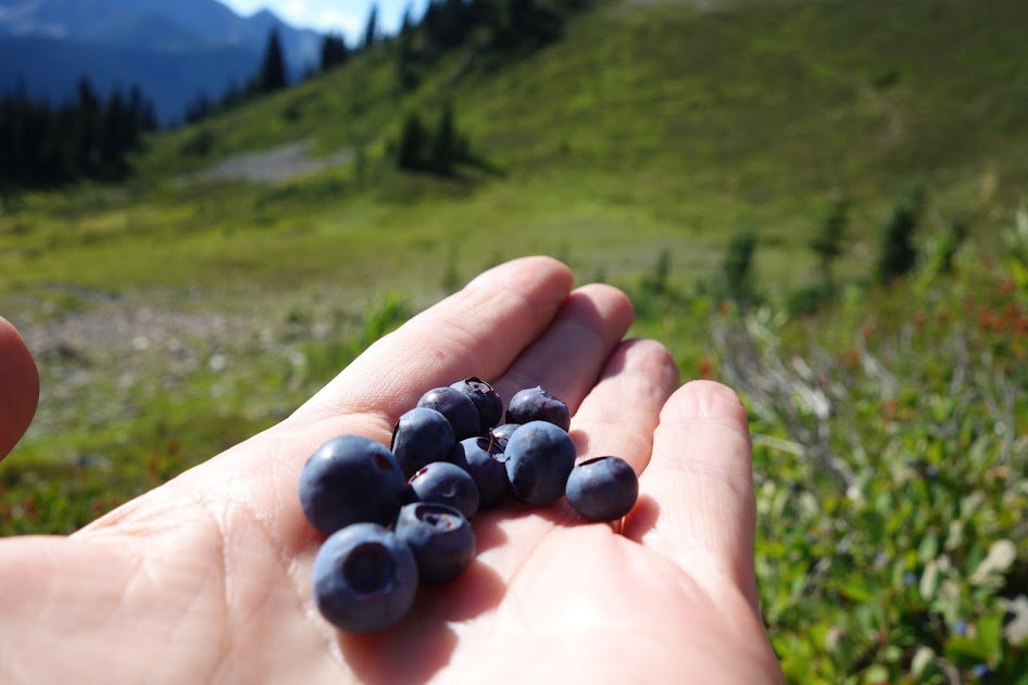
- Day 2 – bees taking care of the flowers in the subalpine areas
- Day 3 – zip except bees minding their own business
- Day 4 – another bug-free day
- Day 5 – zip
- Precipitation:
- Day 1 – a few light showers
- Day 2 – zip, just some nice clouds
- Day 3 – zip
- Day 4 – another shower-free day
- Day 5 – zip
- Temperature:
- Day 1 – 36 overnight low
- Day 2 – 40 overnight low
- Day 3 – 40 overnight low
- Day 4 – 59 overnight low
Loop Direction:
The positives of hiking counterclockwise are the initial climb is much more friendly with better switchbacks, trail is shaded, water is plentiful, and camping is available sooner. The positives of hiking clockwise is using the ferry to cut-off 15 miles of trail, or getting the permitted section out of the way first giving you freedom of campsites the remainder of the trip.
Links