
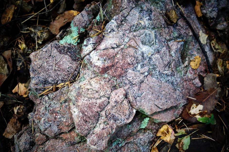
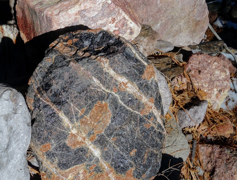
Joan (aka Rambling Hemlock) and I hiked the first 1.5 miles of South Fork Trail the previous day. We took the left fork to Burro Trail (link to related post). While we waited for snow melt on other trails we wished to visit, we decided to explore the right fork. The lighting and colors of this first outcropping of rocks was significantly brighter in the sun. I could hardy believe the pinks and yellows.

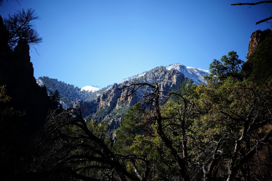
Given snow levels and our experiences over past couple days, we had low expectations of reaching Sentinel Peak. 
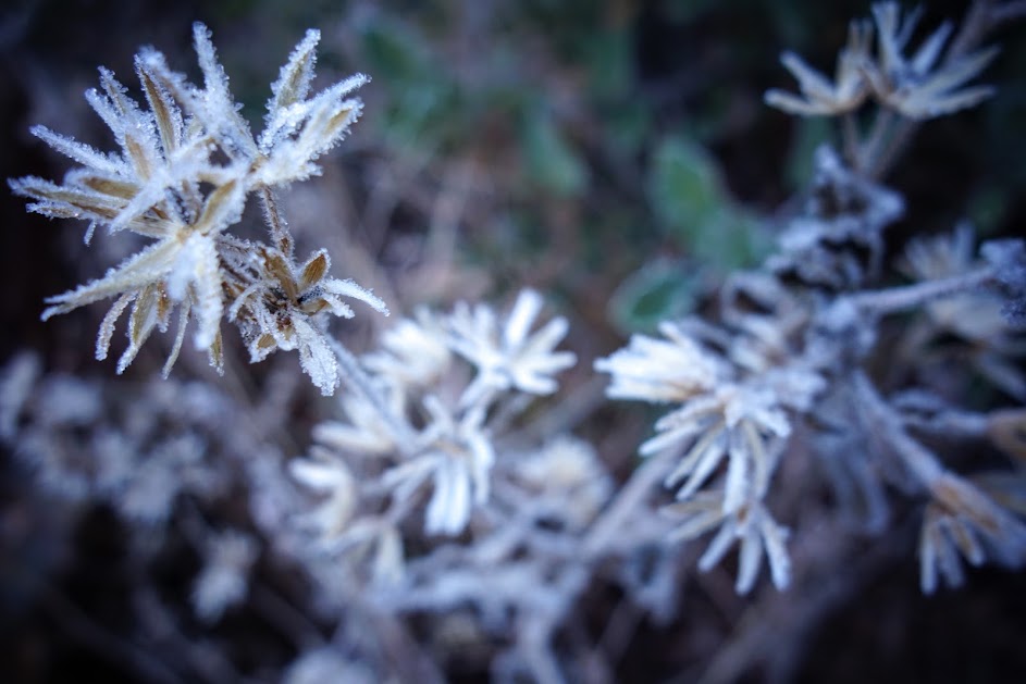
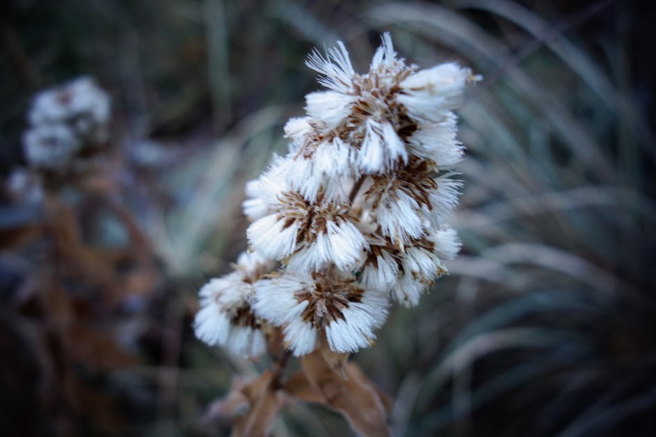
It was a cold frosty morning.

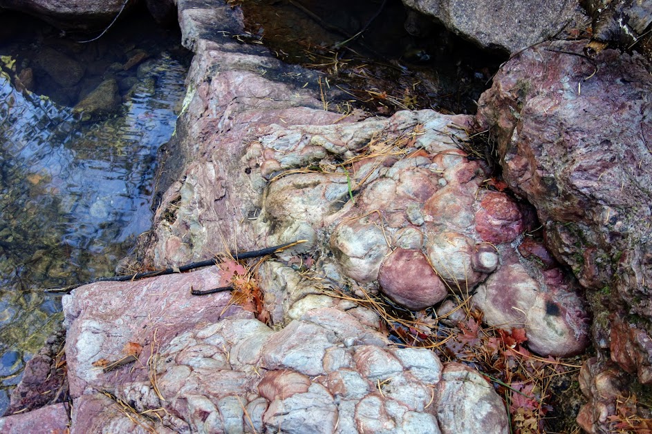
I’m absolutely in love with the colorful rocks.


Soon enough we found ourselves back in snow. We are now 3 for 3 in the Chiricahuas.
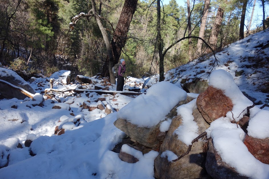
This section of trail appears to be in fairly poor shape. There was little evidence of trail, more like cairn route finding. Navigation was made more difficult by the snow. When I’d had enough of this Type II fun, we turned around. Joan classifies this as Type I fun, me not so much.

Hike Details:
- Date(s) Hiked: December 19, 2017
- Mileage (per ViewRanger): 10 miles round trip
- Elevation Gain/Loss (per ViewRanger): 2,900’/2,900′
- Elevation Low/High (per ViewRanger): 5,300’/7,000′
- Trail Conditions:
- Tree obstacles: First 2-3 miles clear, more as trail progresses.
- Overgrowth: Most just seasonal grasses
- Signage: Adequate
- Terrain: Plan for a few creek crossings, first mile along moderately rocky river bottom. Around 4 miles trail becomes more of a cairn route across boulders in a creek.
- Navigation Skills: Minimal for first few miles, then moderate once cairns begin. Through an old burn with some down trees.
- Water availability: Plentiful
- Camping availability: Very limited
- Solitude: I’m sure the first 1.5 miles is busy as it’s a birders paradise, but on this day we only saw one set of hikers.
- Bugs: None
- Wildlife: Does a dead butterfly count?
- Precip: None on this date
- Temp: ? chilly, we could see our breath in many places
- LNT: no problems, we did find a really old pack that looked like it had been washed down the creek at some point. It was loaded with mud. We hauled it out.
- Jan’s Cherry Picker Delight Scale: 3 cherries (out of 5)
Tips:
- Don’t confuse Cave Creek with Cave Creek Canyon when searching for lodging and trails.
- The nearest lodging for the trails in the southeast corner of the Chiricahuas is Rodeo and Portal.
- The hiker created web page linked below is the best resource for finding out about trail conditions.

