
Mount Massive Wilderness was designated by congress in 1980 and it now has a total of 30,540 acres. Mount Massive (14,421 feet) is Colorado’s second highest peak, another in the Sawatch Range.
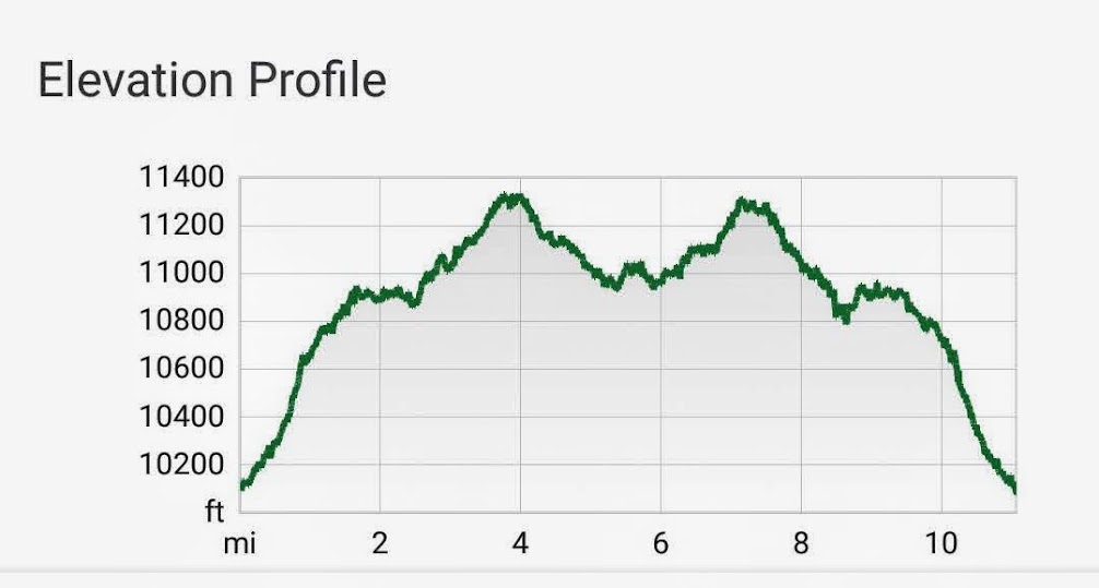
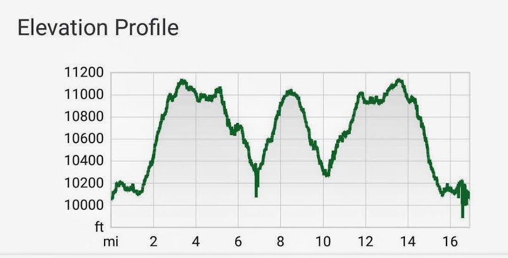
Segment 10 is 13.1 miles with 2,690 feet elevation gain and 2,676 feet loss. I hiked out and back from two trailheads.
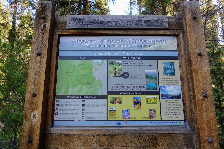
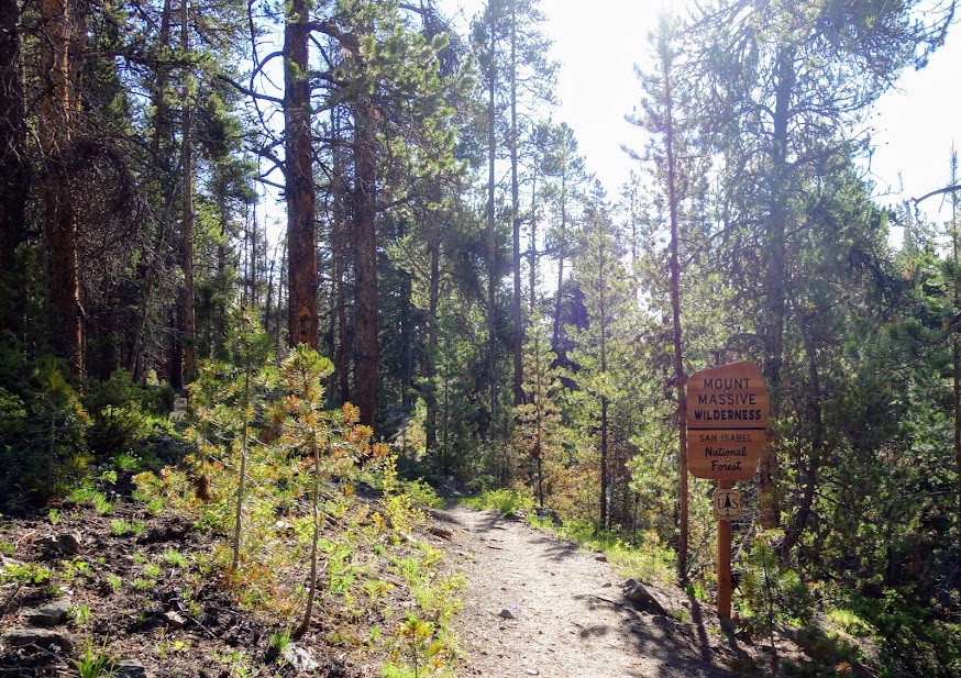
Mount Massive Trailhead
I hiked this section north to the Highline Trail junction. It was a 10.5 miles, 1600′ elevation gain/loss round trip hike.
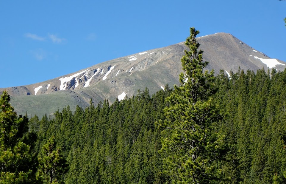
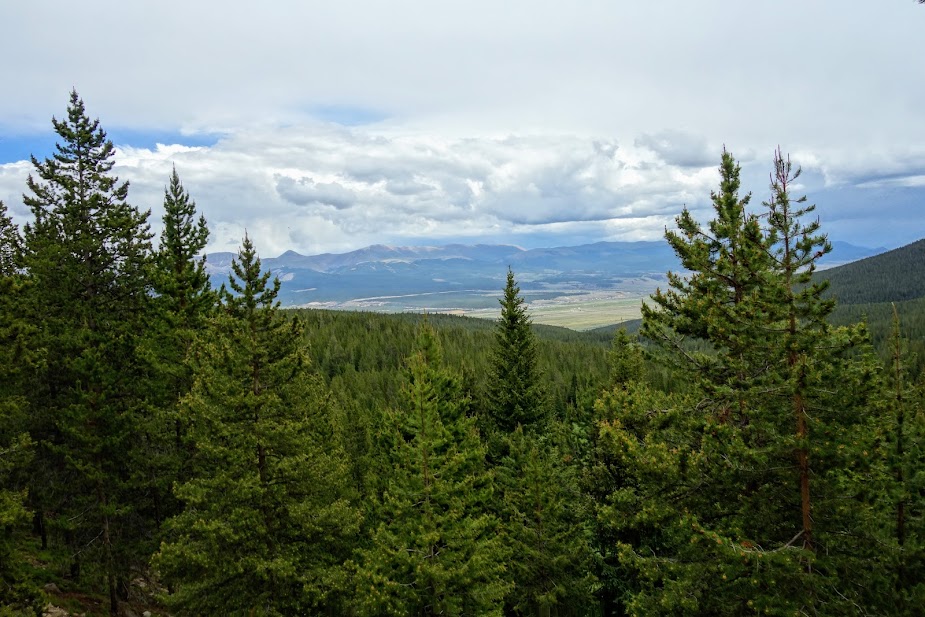
My biggest disappointment was not seeing Mount Massive on this hike. Maybe when I hike further north I’ll find this massive mountain.
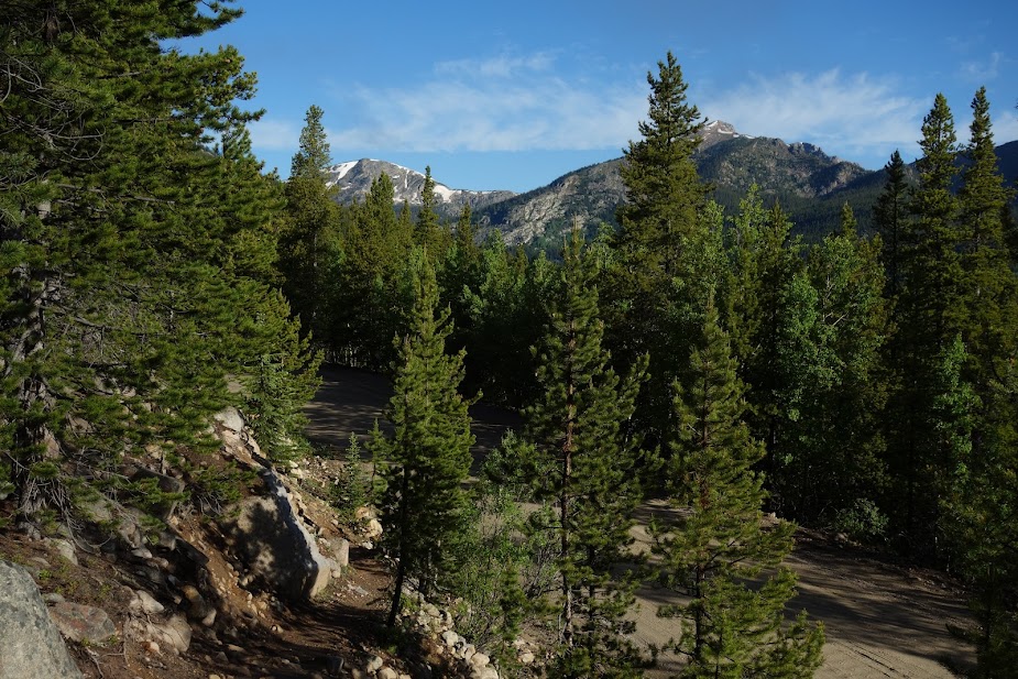
You get some mostly filtered views of Mount Elbert but I found a few places where you could see the summit trail. It was a perfect day to bag the peak and in fact I met a group of four Continental Divide Trail (CDT) trail hikers who did just that.
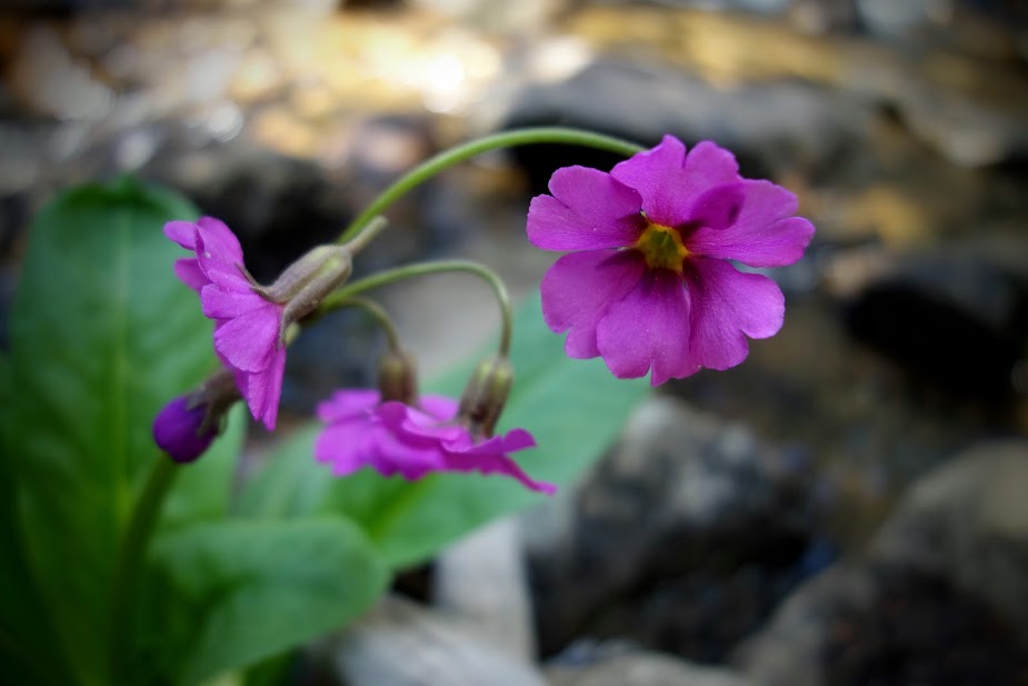
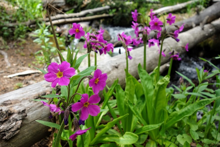
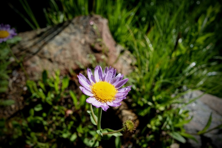
I believe these are Parry’s Primrose.
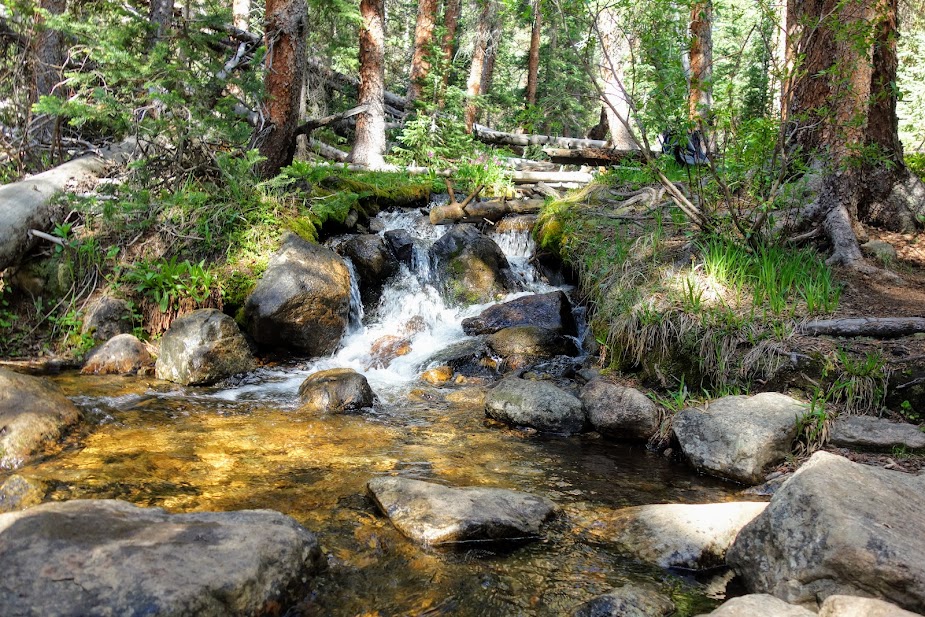
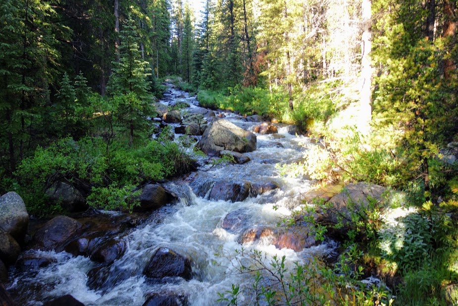
There were several excellent creeks along the way.
I found marsh marigolds again.
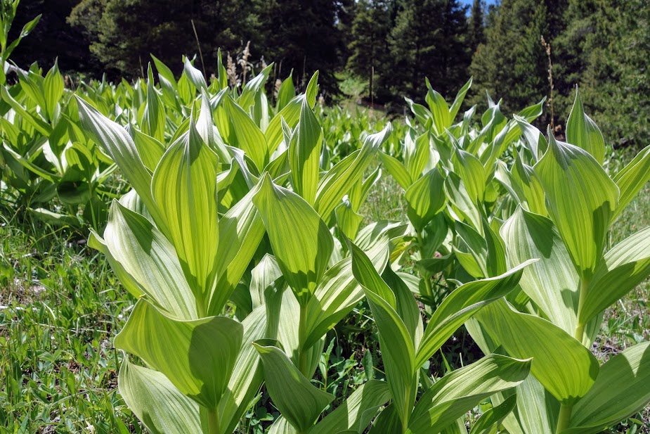
And the beginnings of corn lilies.
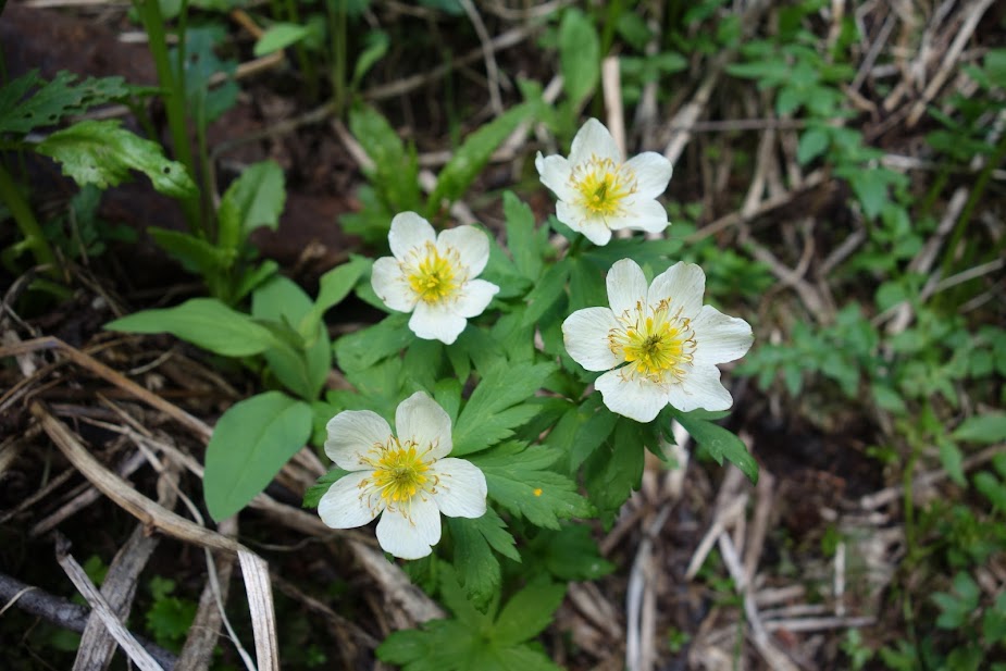
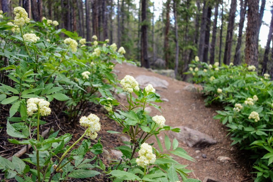
More blooms lined the trail.
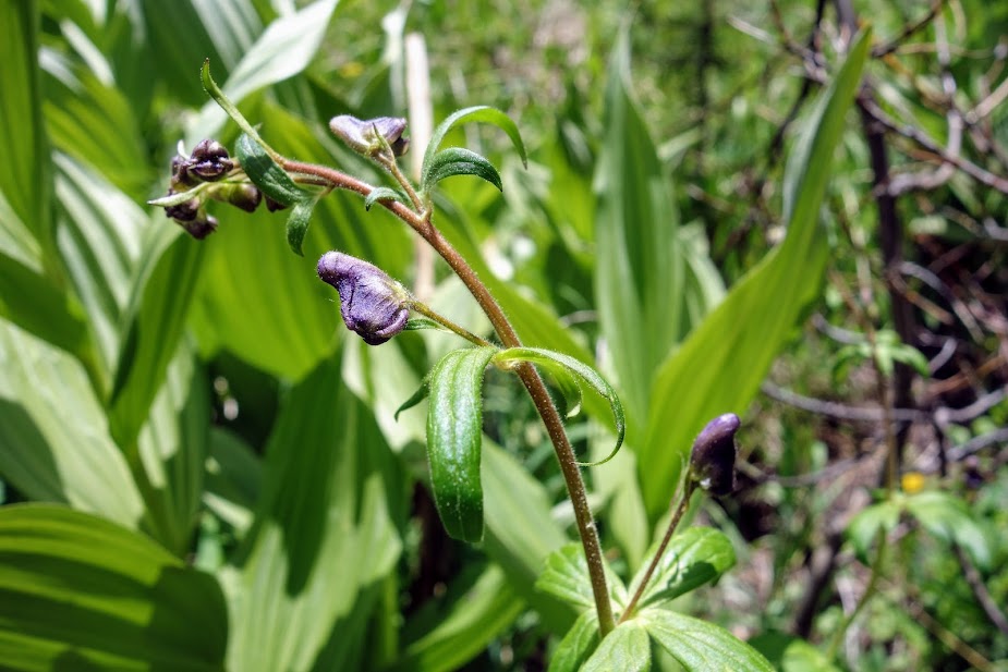
The monkshood is just starting.
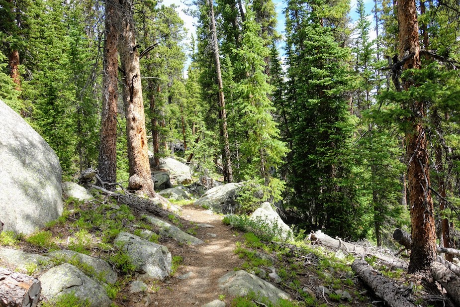
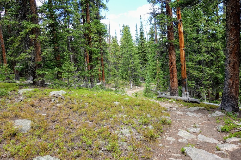
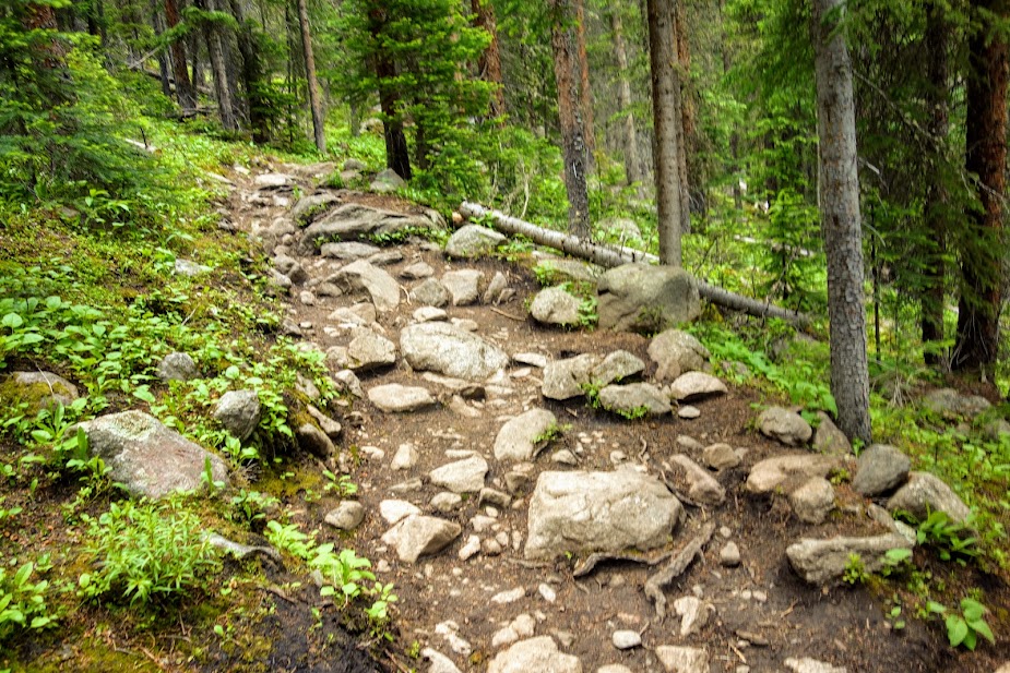
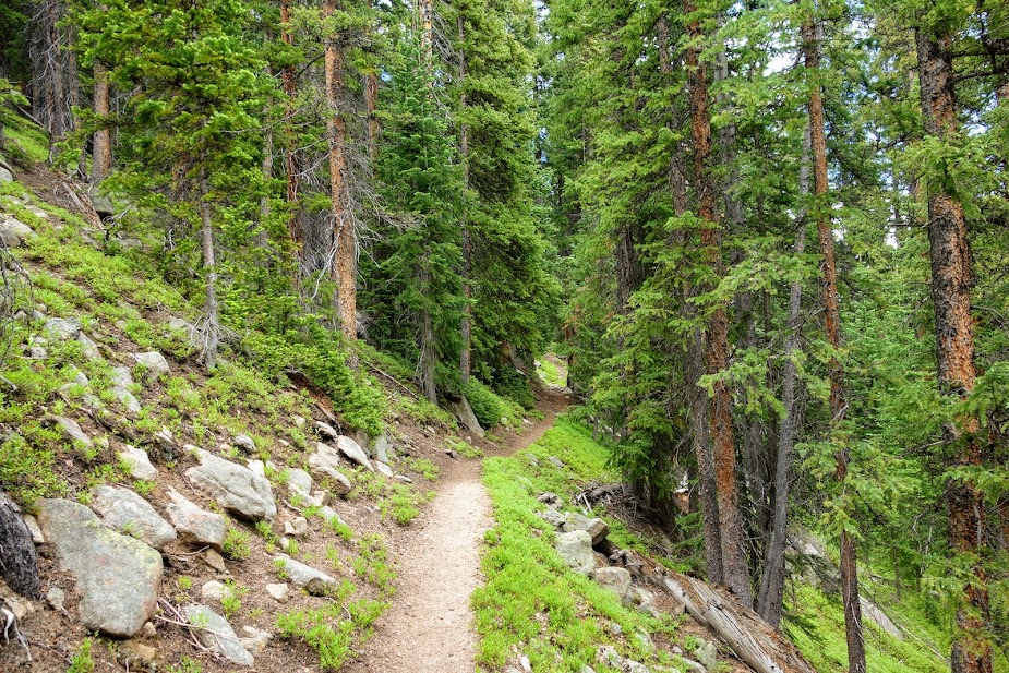
The terrain was a mix of rocky rooty and soft duff.
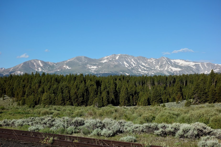
I found a view of Mount Massive from my dispersed campsite.
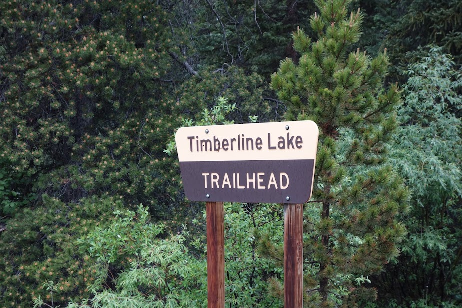
Timberline Lake Trailhead
I hiked this section south to the Highline Trail junction. It was a 16 miles, 2,400′ elevation gain/loss round trip hike. It as a long-hard day for me, not the steepest but the terrain combined with length tested my limits.
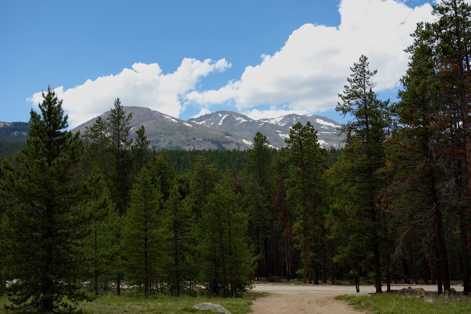
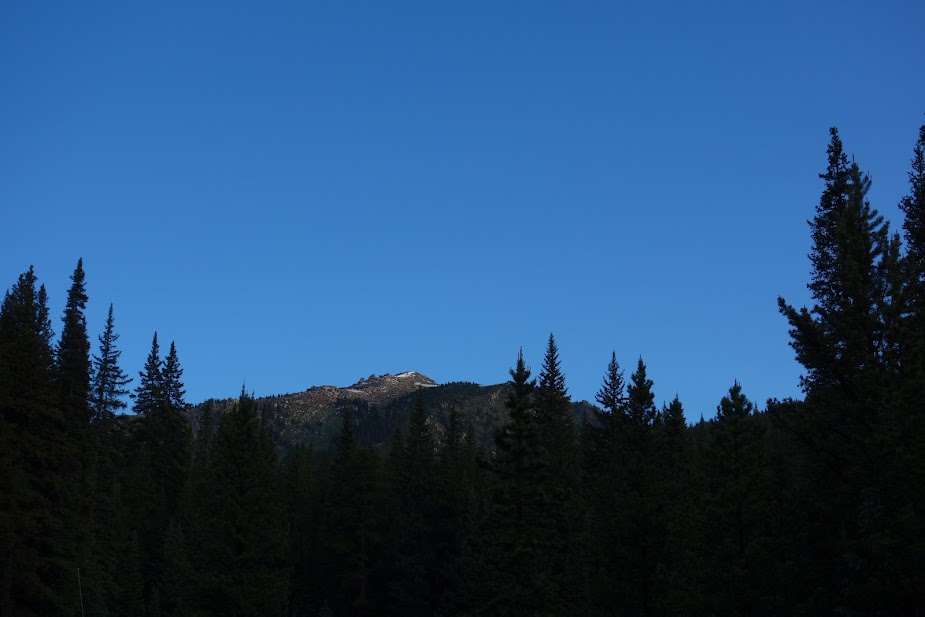
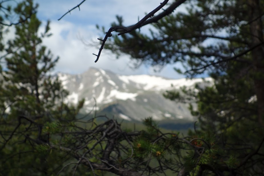
I wondered if this view from the trailhead was all I’d see of Mount Massive.
Puddles offered evidence of recent rains.

I loved the natural water sources, so much nicer than the drier sections of the trail.
I didn’t love the rocky sections of trail. Some areas were quite tedious.
Are you Mount Massive? Nope
Good thing there were flowers to keep me distracted.
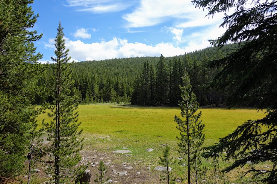
I believe this might have been the first meadow I’d seen.
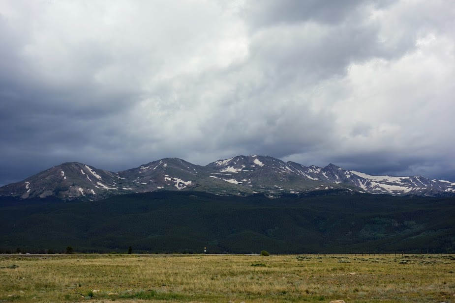
I was finally provided a few filtered views of Mount Massive.
Obviously someone needs to learn to read a map, like duh! Of course the ignorant choose to share.
A lovely section of trail.
And another.

There were occasional views down into the Arkansas River Valley.
You get great views of Mount Massive from Leadville.
Tips:
- The Guthook/Far Out App and Colorado Trail Association Guidebook and Databook are helpful in planning section hikes. The guidebooks details parking and trailhead options along with the elevation profile. Far Out was a great way to plan my turnaround based on mileage and elevation gain/loss. I also used Gaia with the Colorado Trail Nat Geo layer.
- Leadville is nearby and is an excellent town for resupplying, doing laundry, grabbing a shower and using WiFi.
