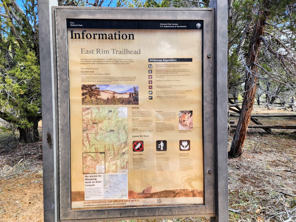
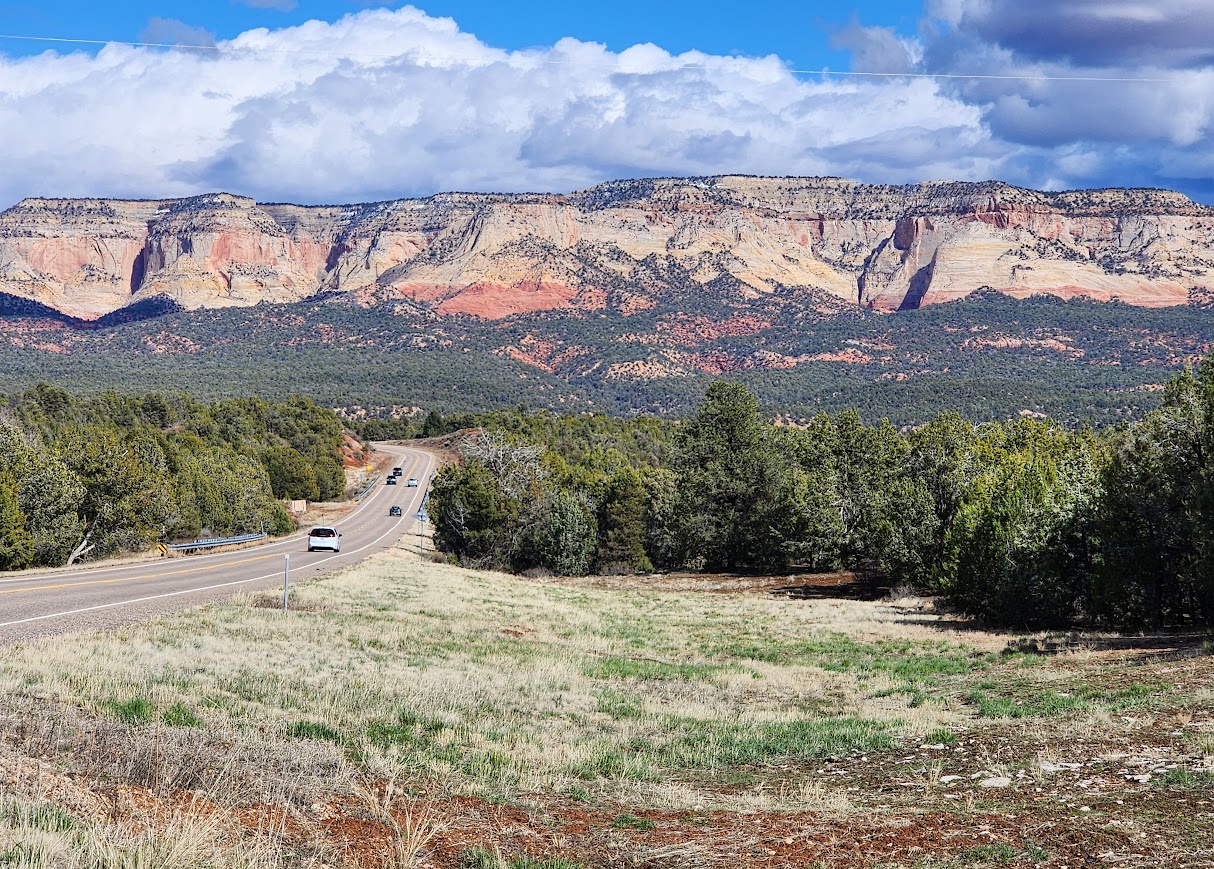
This, was my third visit to GSE National Monument, and finally, the road and weather were inviting for an adventure. The road can be too sandy, too slick from recent rains, or rutted from being driven on after the rains.

The road had recently been graded making for miles of washboarded surfaces, quite a bumpity bumpity bumpity arm-jarring ride.

This road is a good old wagon train Mormon adventure story. They were indeed pioneers, risking everything, to chase a dream. 144 years ago 70 families in 83 wagons, plus 1200 horses and cattle, set off on a 6-week expedition, that got stretched to 6 months (link for more info).


Today it’s a protected area used for recreation. Many traverse the Escalante River in full or in sections, eventually connecting to Lake Powell and the famous Hole in the Rock (link for more info). Others focus on the many slot canyons. There is geology to explore, dinosaur prints, miles of ATV roads, and so much more. I expected to be wowed by roadside views but for that I found myself underwhelmed.
Hike #1 – Upper Dry Fork Trailhead
Most use the Upper and Lower Dry Fork trailheads to access Peek-a-Boo and Spooky slot canyons. I was hopeful but had low expectations of being able to explore those slots.


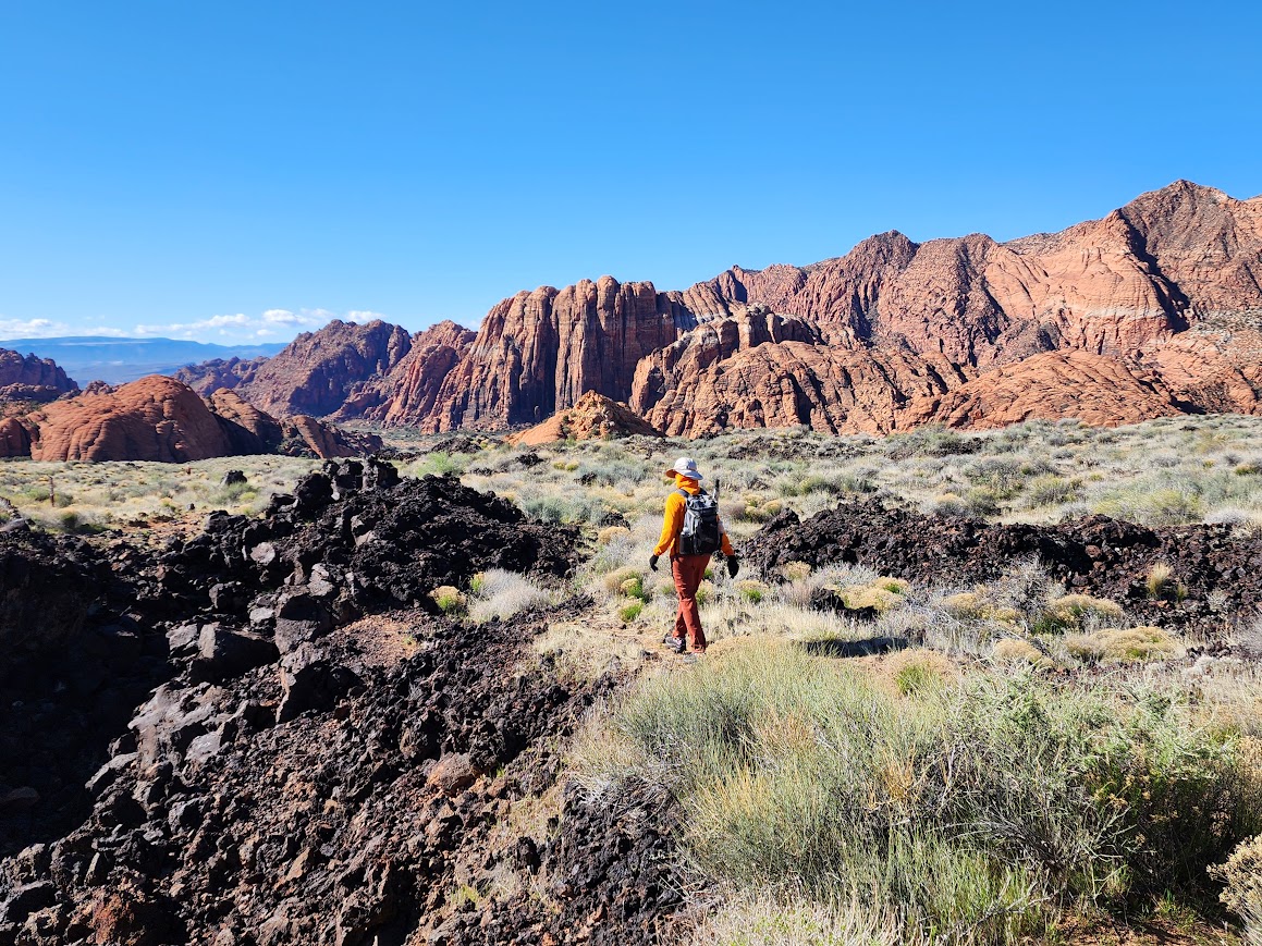
Time to go down, down, down and find first the narrows and then the gulches (aka slots).


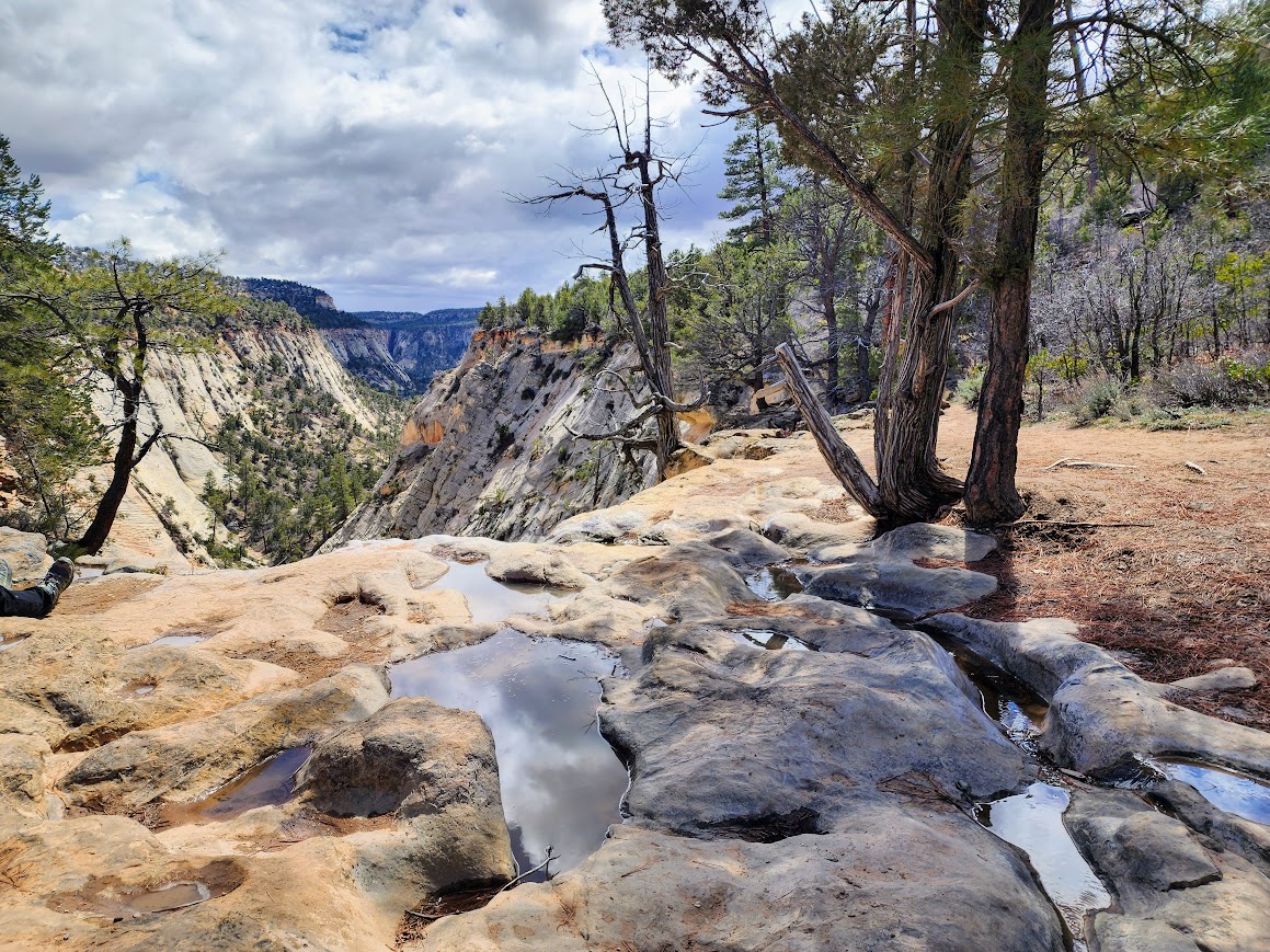
I returned on the Rim Trail, which made for a nice loop hike.

Cairns marked the route across the slick rock sections.

The beginning of what’s called the Dry Fork Narrows.

Within a short distance, the canyon walls grew taller and taller, but there wasn’t any technical hiking.

Soon enough the walls were so tall I had to switch to portrait mode. I loved all the colors and textures.


It took me about 30 minutes to get through the narrows, taking my time and lots of photos. And then I arrived at Peek-A-Boo. As soon as I saw the entry I knew this was a big NO!

This sign was at the trailhead, a bit like measuring your height for rides in Disneyland. I FIT! But I also heard Spooky was more challenging than the Peek-A-Boo slot.

Rather than returning through the Dry Fork Narrows, I elected the loop which initially I thought would be easier and quicker but it was more elevation gain with lots of slickrock and sand hiking. This is looking down to the slot (aka gulch) canyons.


And then it was back to the rim trail.

There was interesting geology along the way.

Hike #2 – Red Well Trailhead
Most hikers use Red Well and Hurricane Wash trailheads to reach the Coyote Gulch section of the Escalante River.

I didn’t have any expectations and knew little about this section of the trail as the primary focus was on Coyote Canyon. You quickly enter Glen Canyon National Recreation Area.

The trail starts dropping fairly quickly, in some places the trail is quite steep.


The cottonwood trees were popping, with their bright green leaves. The mix of vegetation was interesting, although there was more sand walking than I prefer.


Water became the element of the day.


This waterfall marked my turnaround for the day.


As I returned, I was ready to be done with the sand slog.

I was sure this wasn’t my trail on the return trip. Was it really this steep? YES!

There were 3-4 steep sections.


Spectacle Pod (Dimorphocarpa Wislizeni)


Little Twistflower (Streptanthella longirostris)


Astragalus

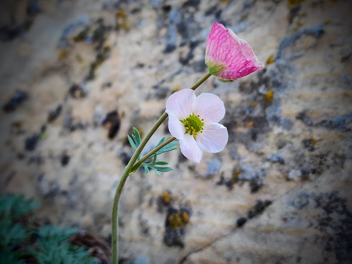
Paintbrush

I retrieved three lost items, shoes, sunglasses and I believe a foot massager or soap. Somehow I lost the sunglasses too.

Devil’s Garden
I needed a break from the arm-jarring washboard drive, so this seemed like a perfect detour.

I found the seven dwarves and a peephole arch.

This gang looked like they were having a serious discussion, maybe about where to go next.


I believe this is called Metate Arch.


There were lots of places for kids to run around and explore.

Dance Hall Rock
This was my endpoint. I knew my vehicle couldn’t make it to the road’s terminus so I decided this would be a good place to turn around.


There were lots of big mound rocks that would have been worthwhile scampering around. But it was a hot afternoon and I’d already spent several hours hiking.

I wandered around a bit and thought about the pioneers stranded here for six months.


Looking toward Lake Powell where the pioneers spent a long winter building the road to lower the wagons and animals down to the Colorado River.

Dispersed Campsite Views


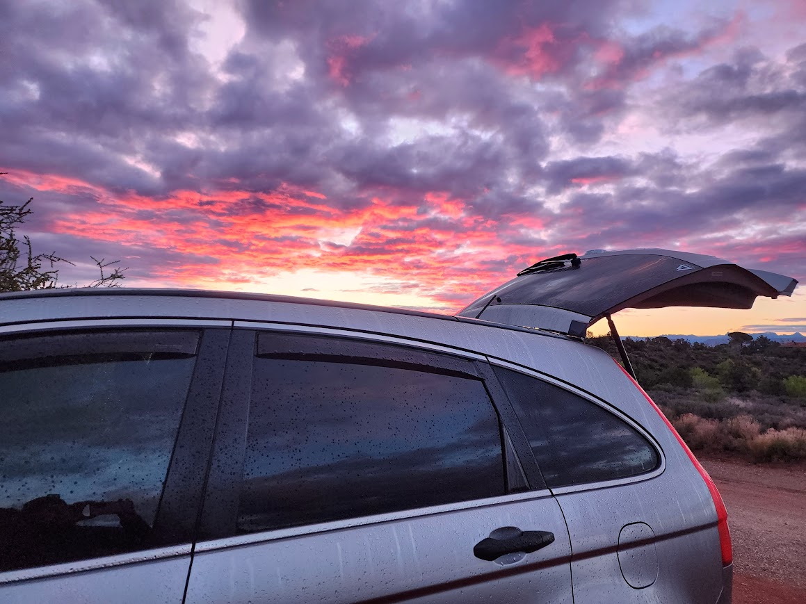
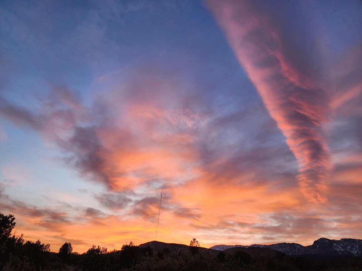
There was zero rain in the forecast but I have to say I was a little worried but mostly hopeful there would be a fantastic sunset.


The other direction looked inviting.

Sunset views at another campsite.

Sunrise views.

Pondering Word Choice
I recently read a book about hiking the JMT (John Muir Trail). The author called their jaunt an expedition. The year was 2016. I always thought of expeditions more in line with the HITR/San Juan LDS pilgrimage where they were first explorers. Recently I watched a documentary about a group who took on a high mountain route never before done. They called it an expedition and that seemed fitting. Friends used the word odyssey to describe their multi-year trip exploring the Americas. That seemed an appropriate definition. I use adventure quite often.