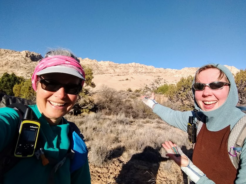
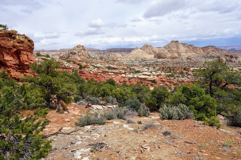
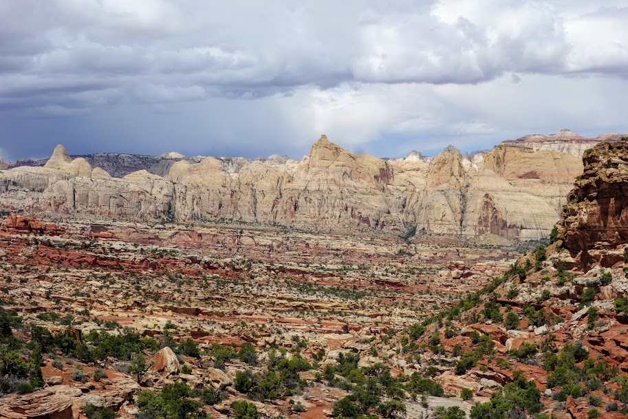
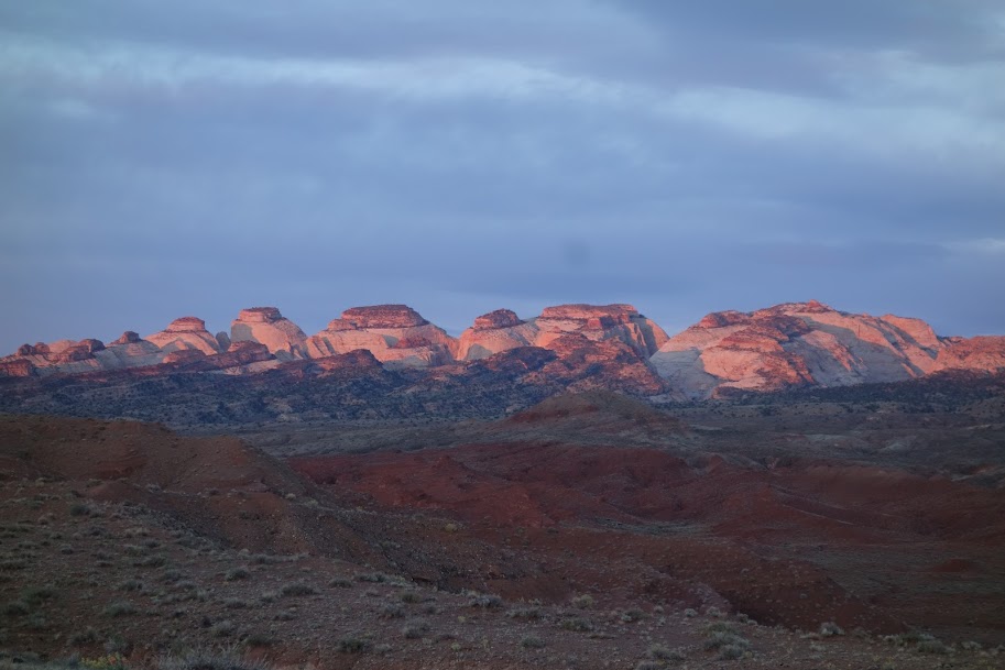
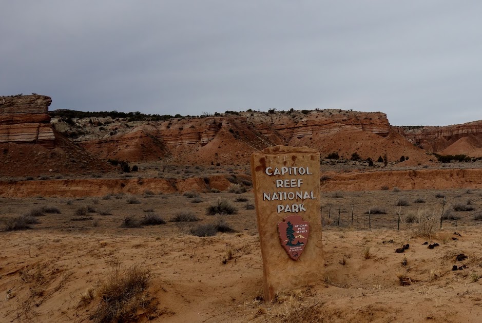
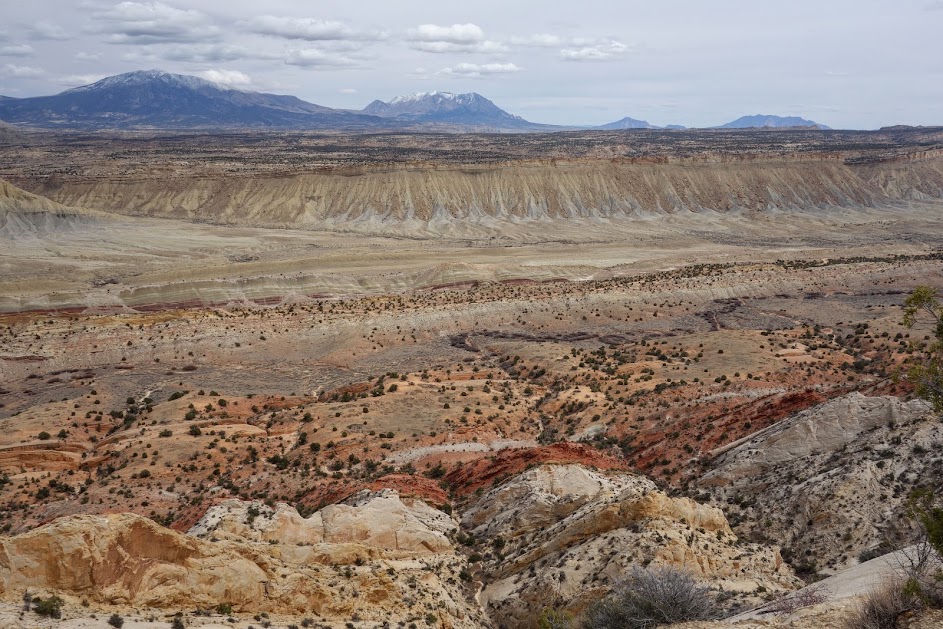
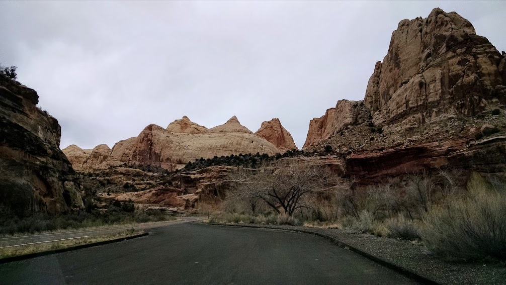
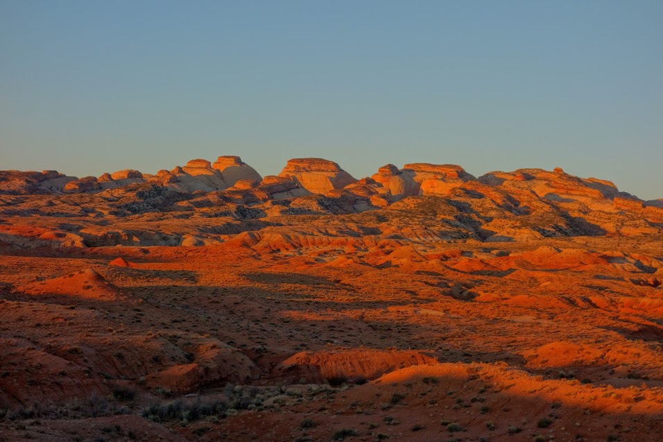
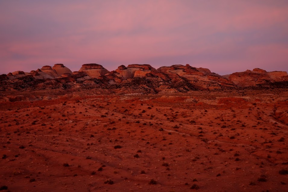
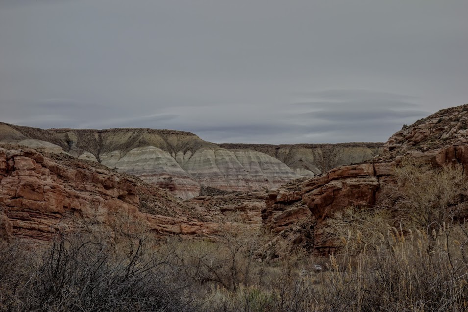
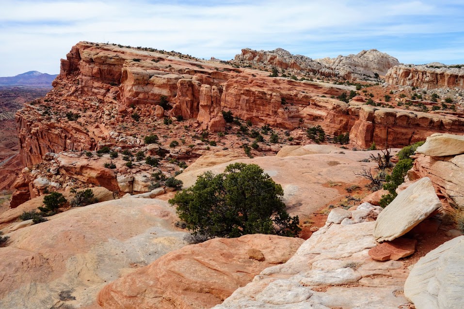
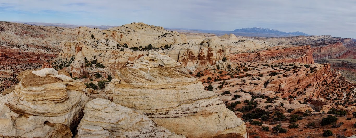
I mentioned in my last post that Joan and I decided to immerse ourselves in Capitol Reef National Park. To us, on this day, that meant since we hiked the Upper Muley Twist Canyon Loop, we would also need to hike the Lower Muley Twist Canyon Loop. According to the NPS, “the highlight of the hike is a deep, narrow, twisting canyon with large alcoves.” 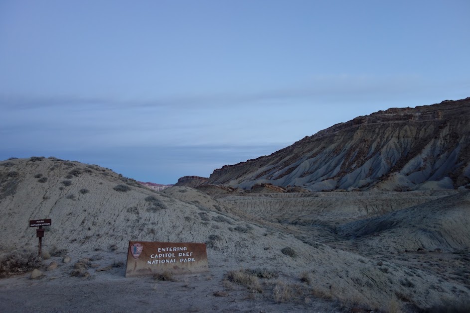
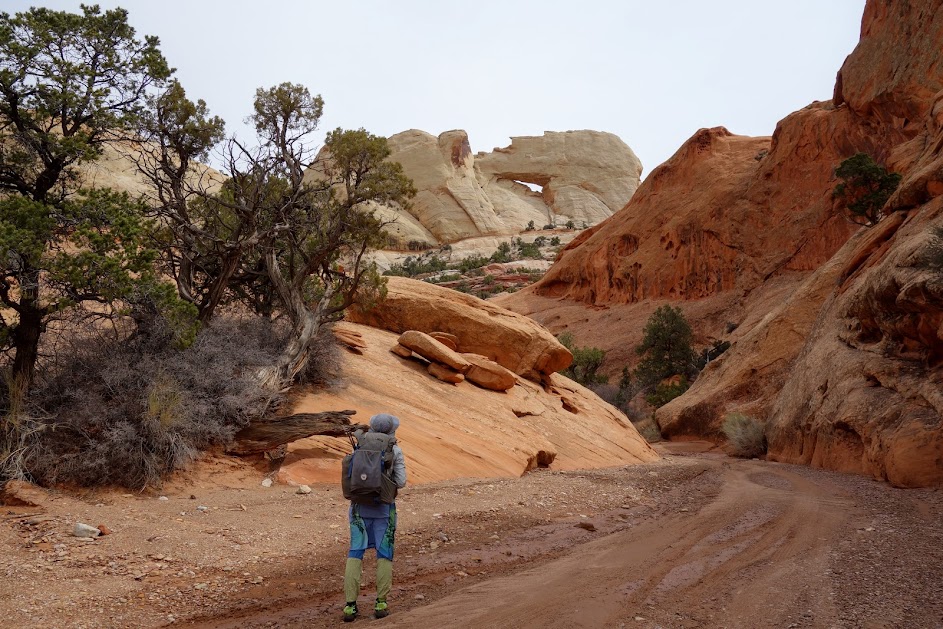
The trailhead begins at “The Post.” Per the NPS website, “Dispersed/at-large camping with vehicles is prohibited within the park, including at or near trailheads. Dispersed/at-large camping is allowed on federal lands (USFS, BLM) adjacent to the park.”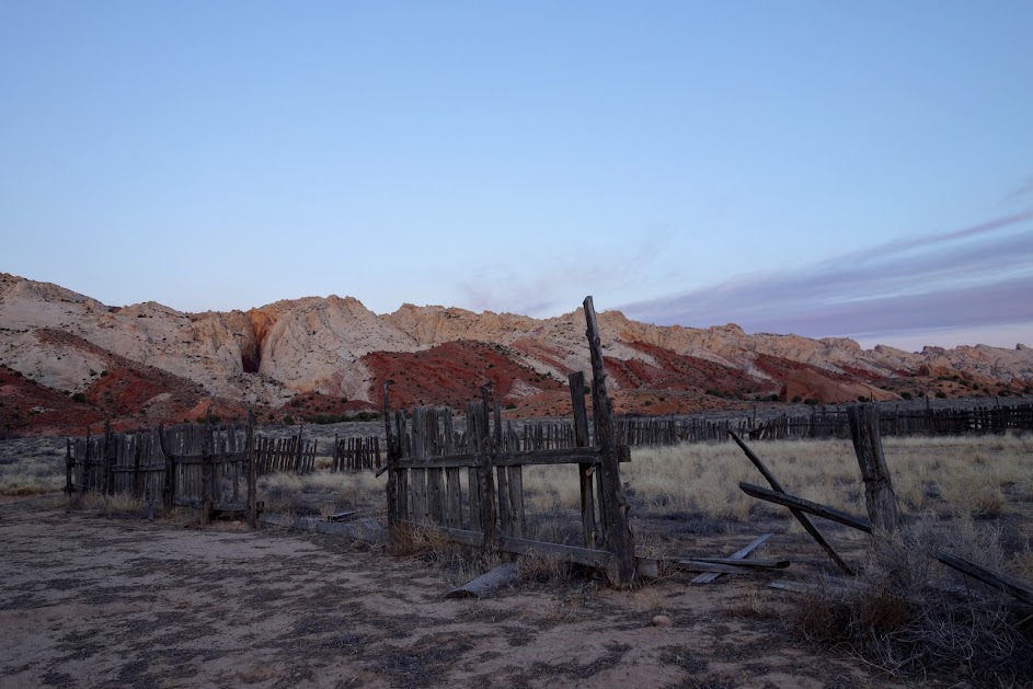
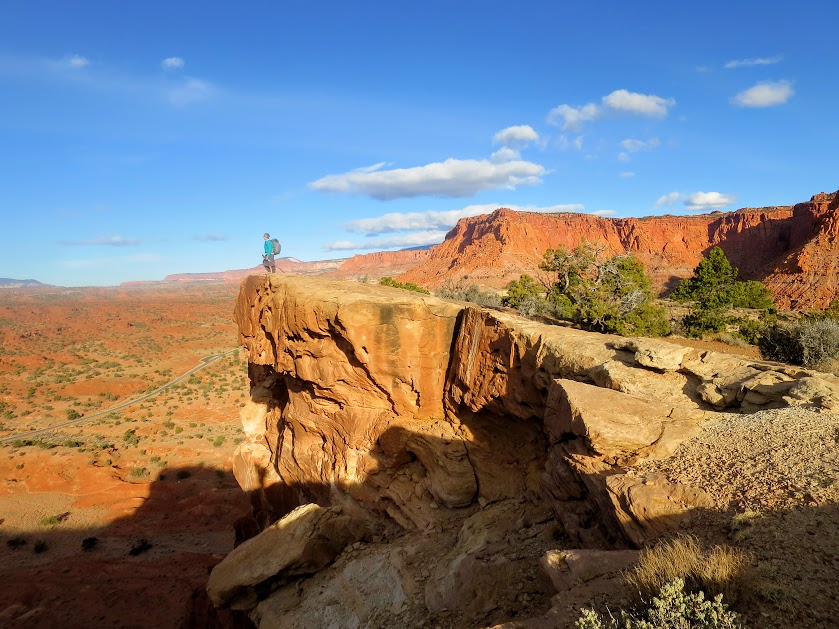
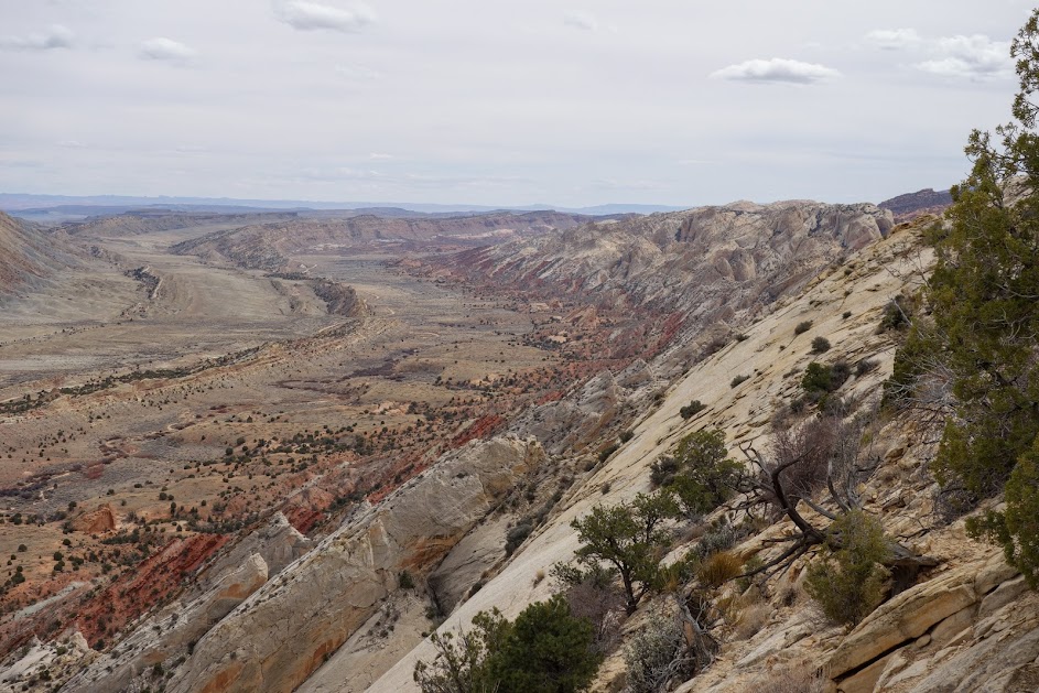
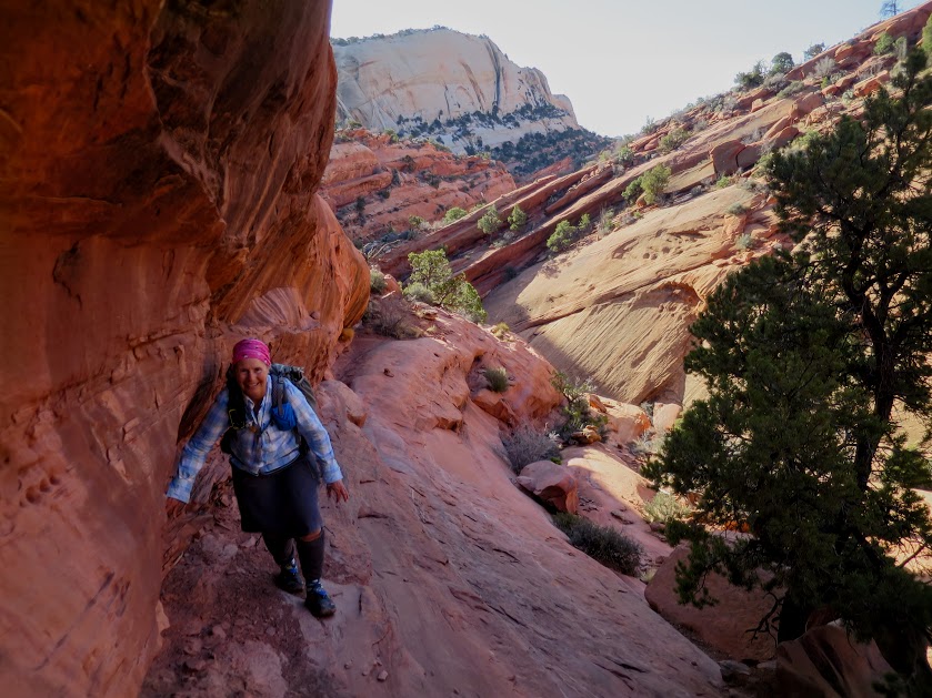
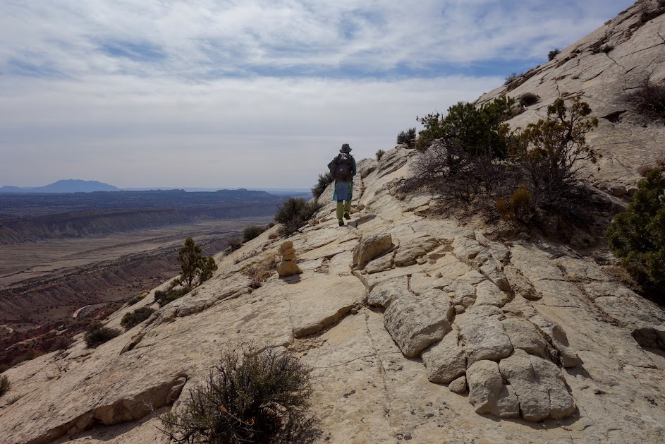
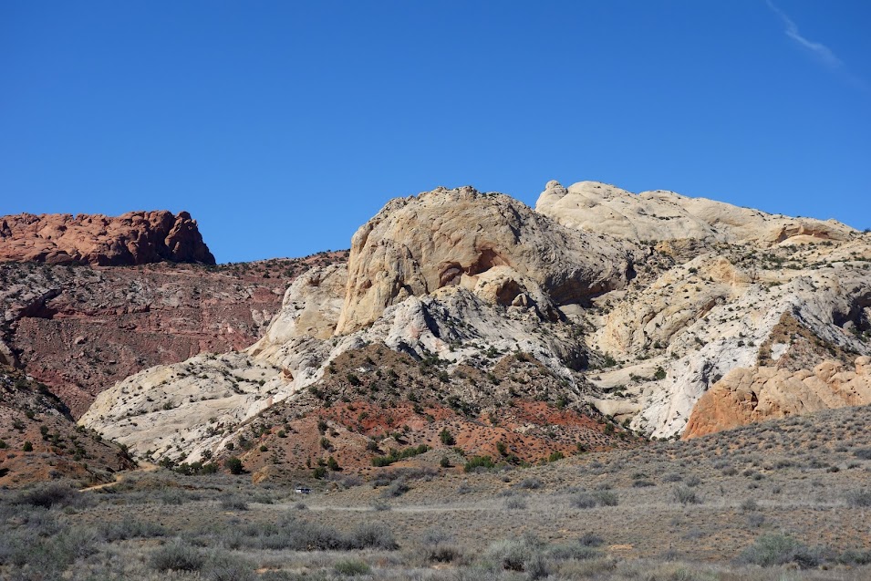
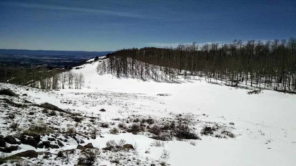
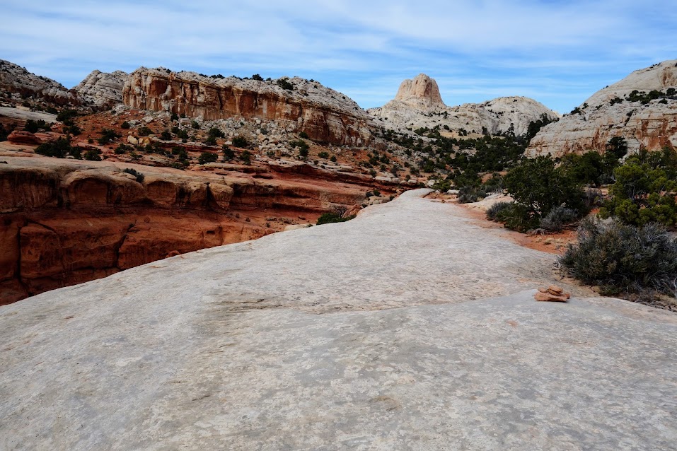
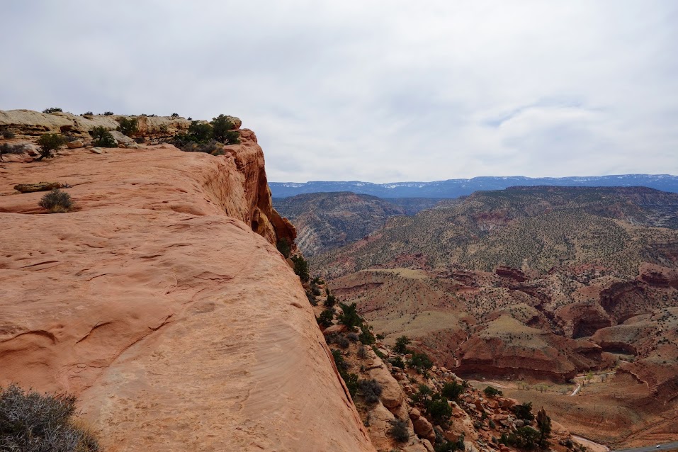
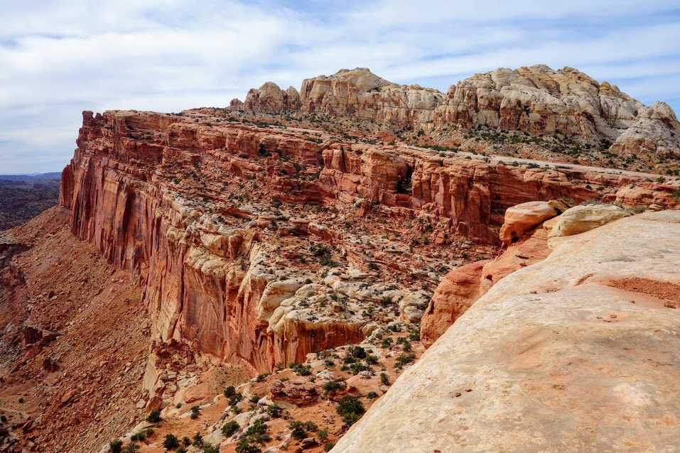
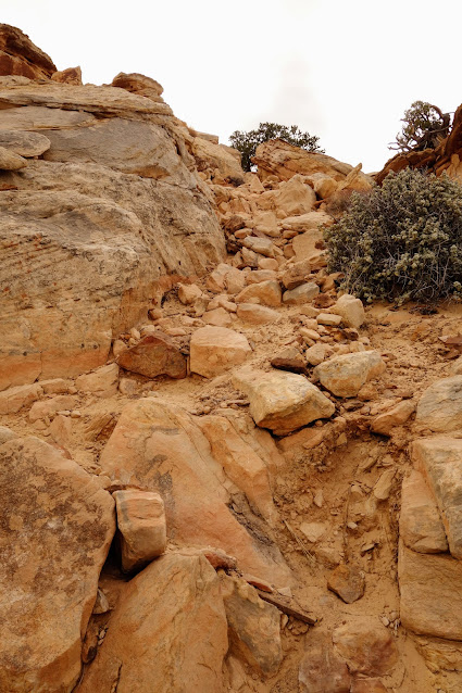
Carrying our packs, we were a bit nervous about this warning on the NPS website. “The Post cutoff trail heads west from the parking area and climbs steeply up the Waterpocket Fold, providing panoramic vistas. Sections of the trail traverse steep slickrock with loose footing and severe exposure in several places. Use caution, especially on a particularly-exposed 100-foot (30 m) section, and especially if wet or icy conditions exist.” Oh well, I said to Joan we could always turn back. 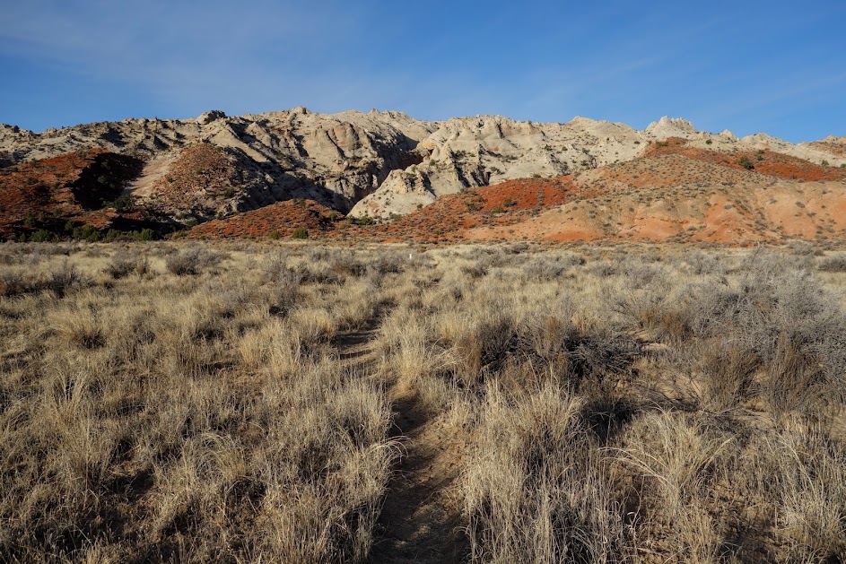
At one point Joan was ready to turn back. She wasn’t feeling great and exposure is not her strength. We stopped and she said we probably aren’t even 1/3 of the way. Since I was tracking our route, I looked at the map and found we were nearly done. She was in shock and might have done a little dance when we could mark that section complete. Telling of the conditions might be the fact that we didn’t take any photos of the challenging traverse. 
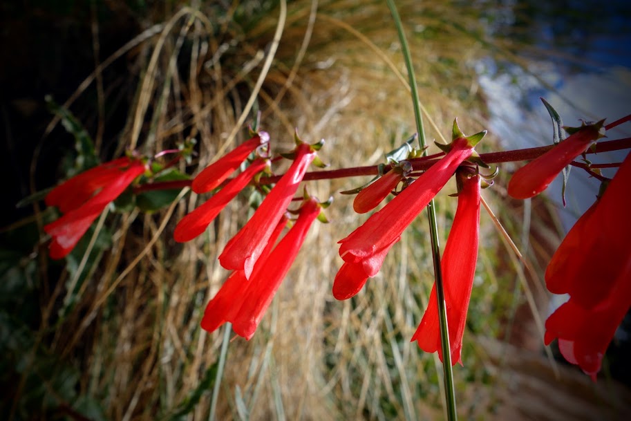
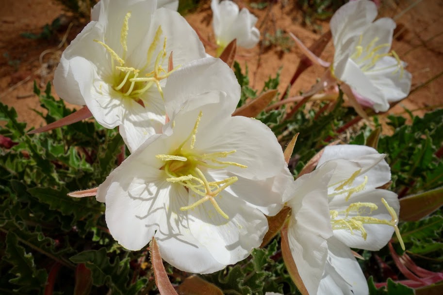
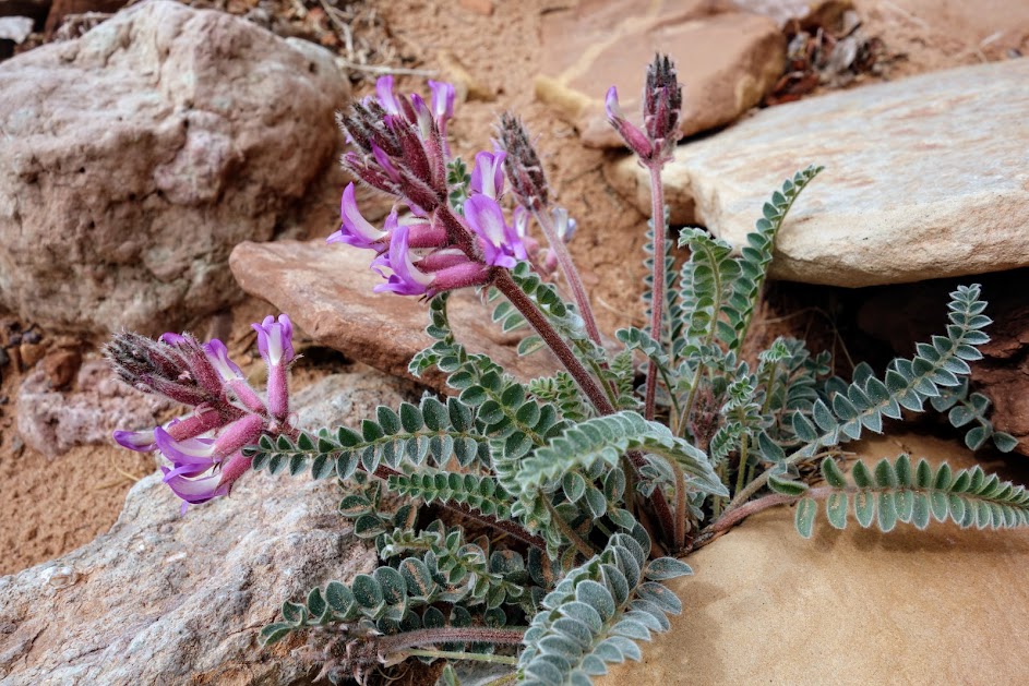
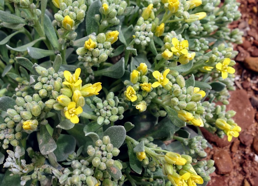
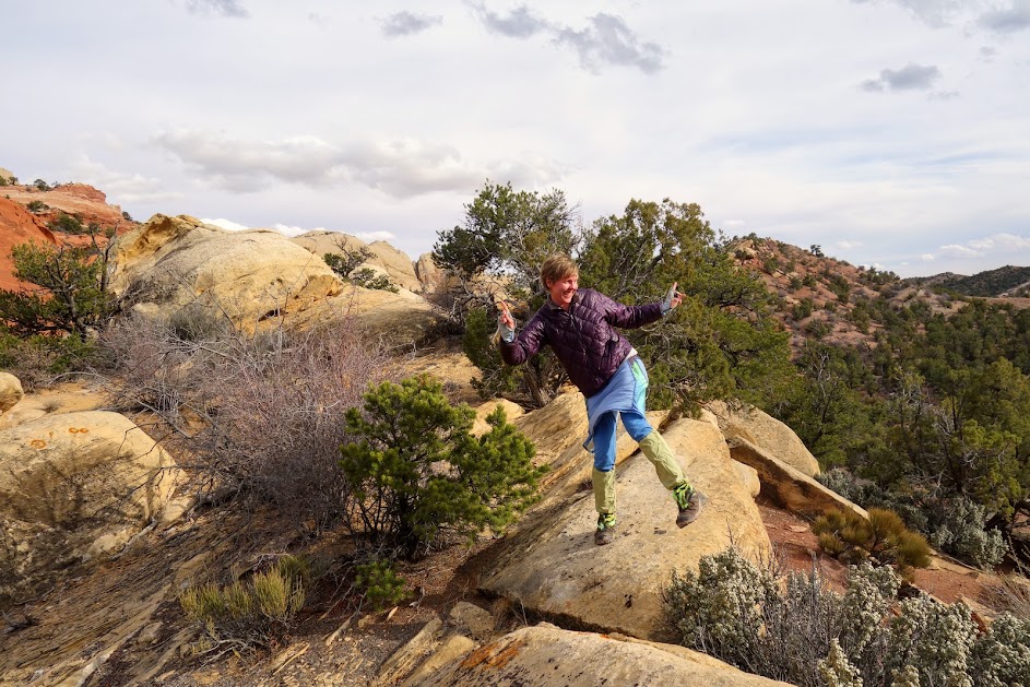
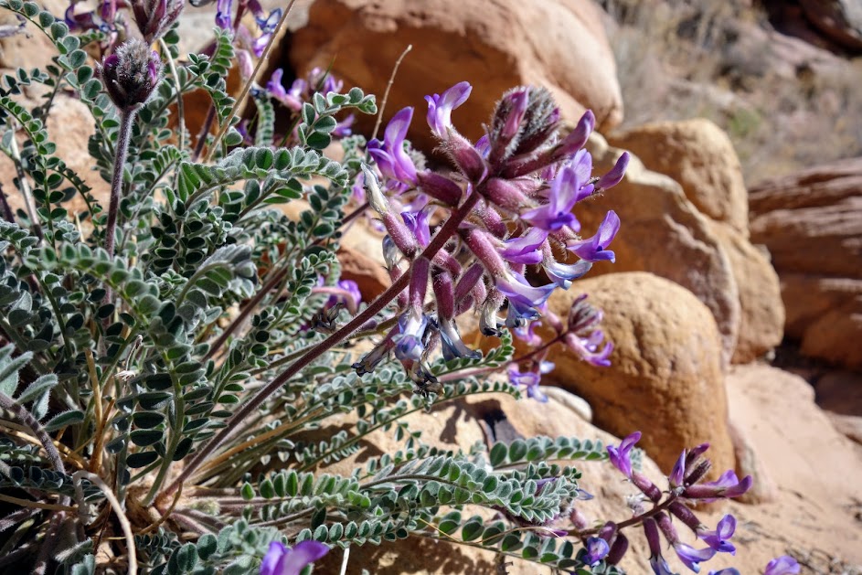
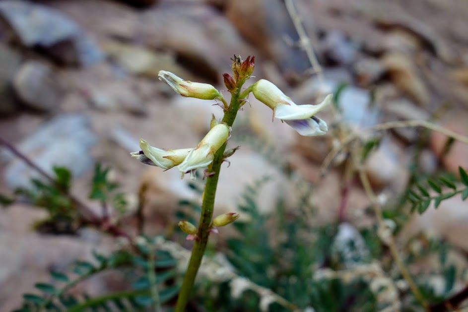
She quickly refound her happy spot when she found early blooms to be photographed. 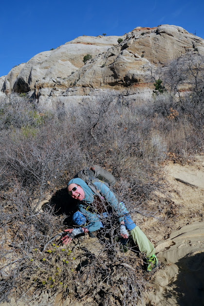
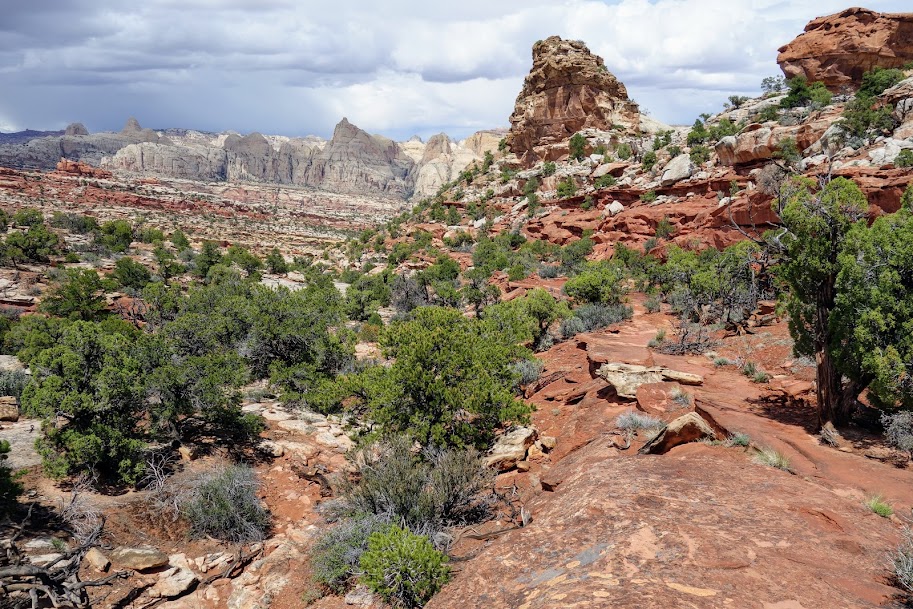
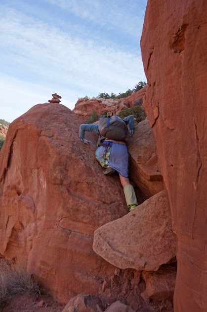
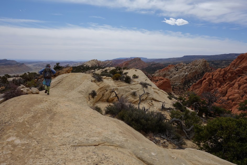
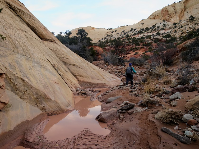
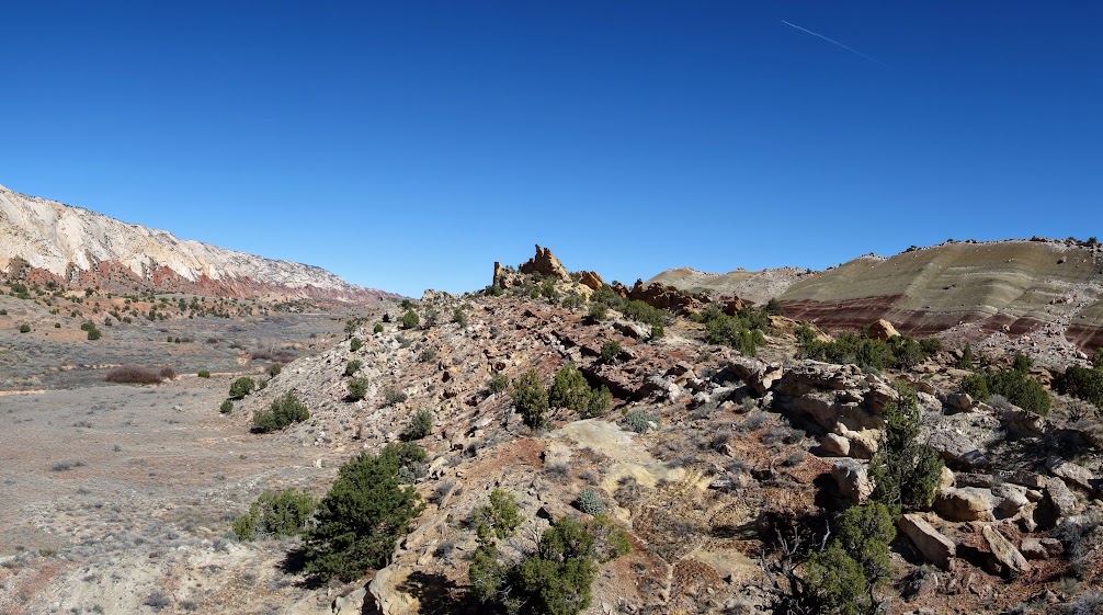
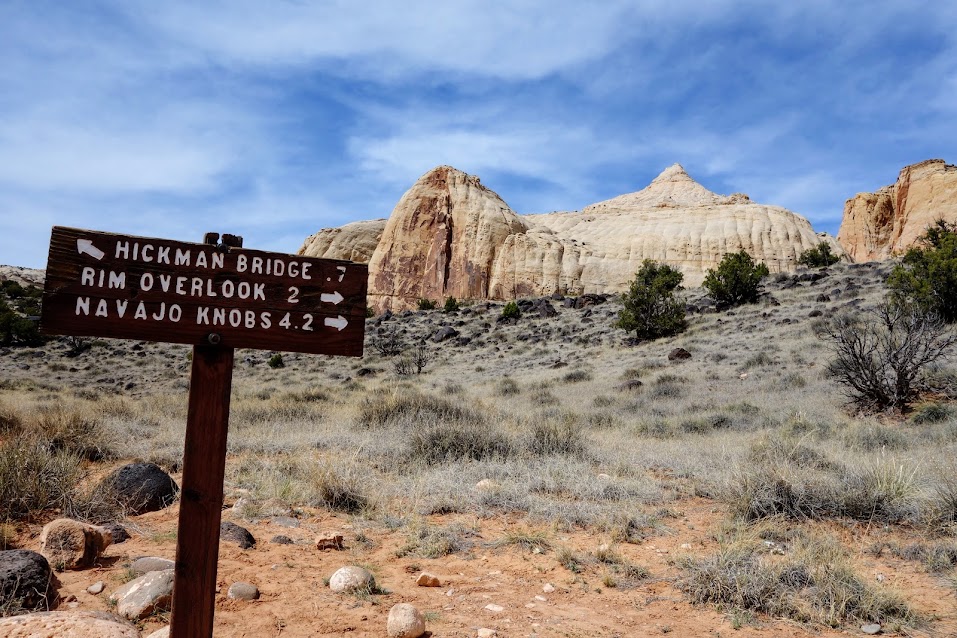
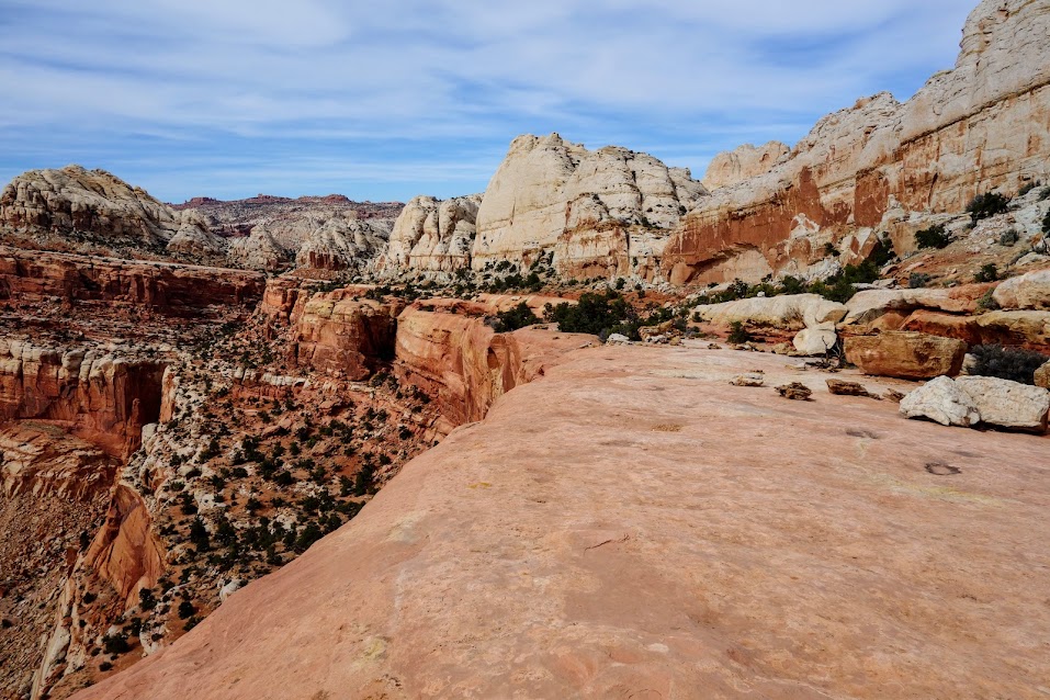
Since this is more of a route than a trail, we were happy to find the junction. 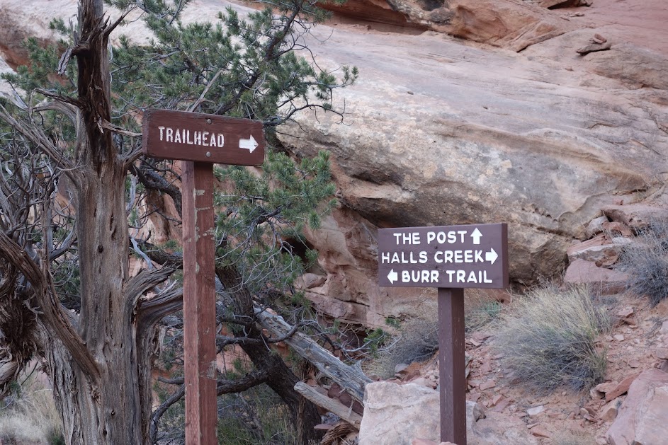
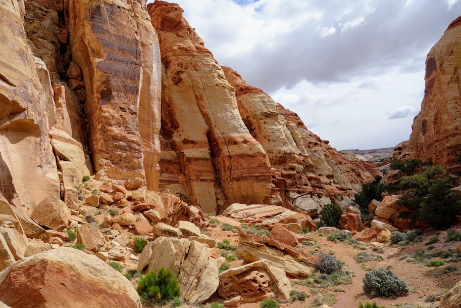
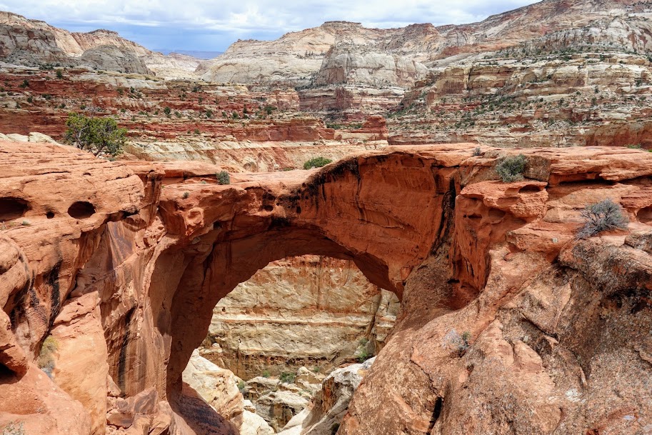
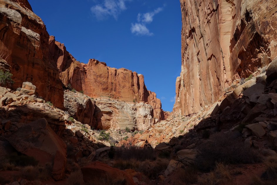
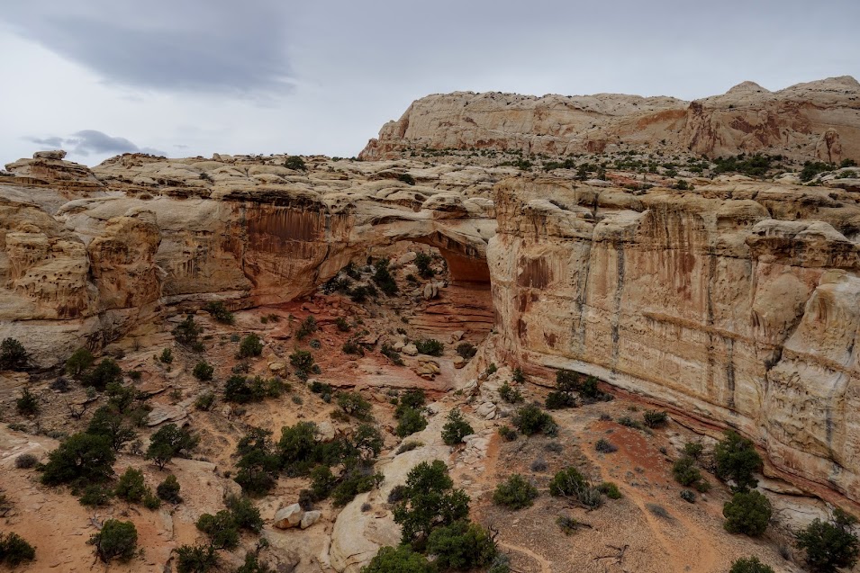
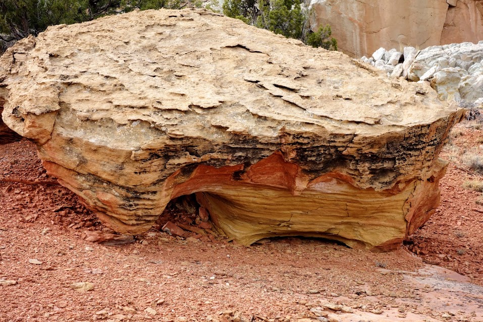
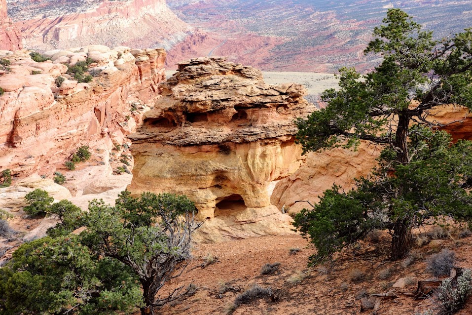
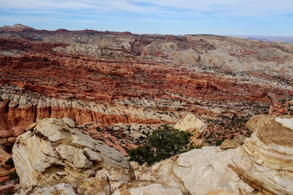
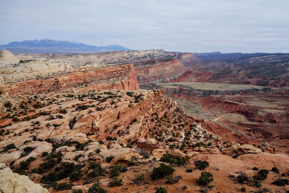
Per the NPS website, “large alcoves highlight this portion of the canyon. Here the Kayenta formation has been undercut, forming high overhangs. The canyon continues south for over 8 miles.” This was one of the highlights of this trip. The trail goes behind the big field of debris and through the alcove. 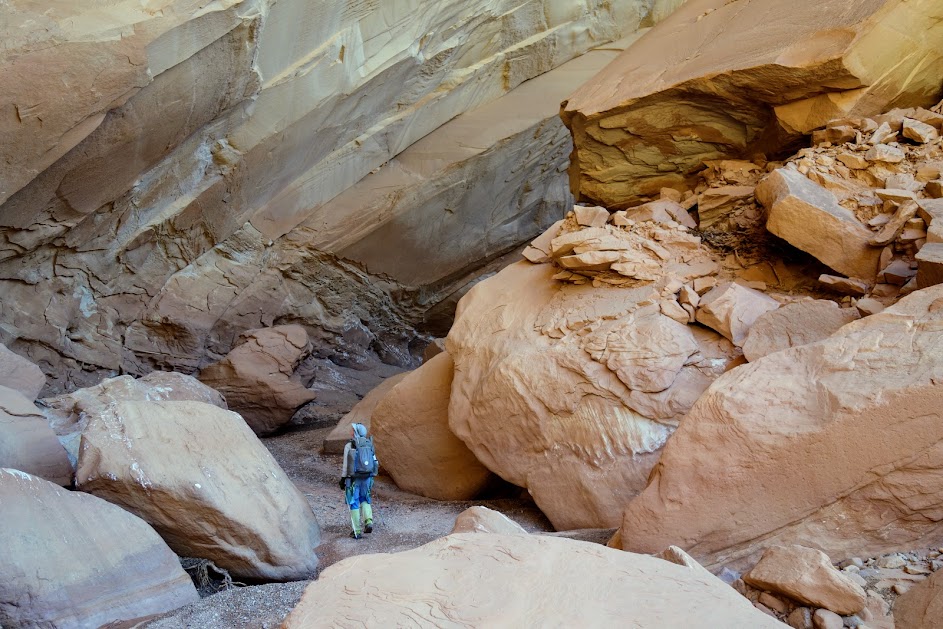

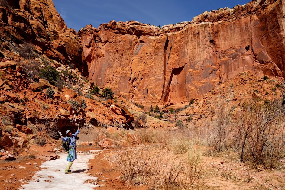
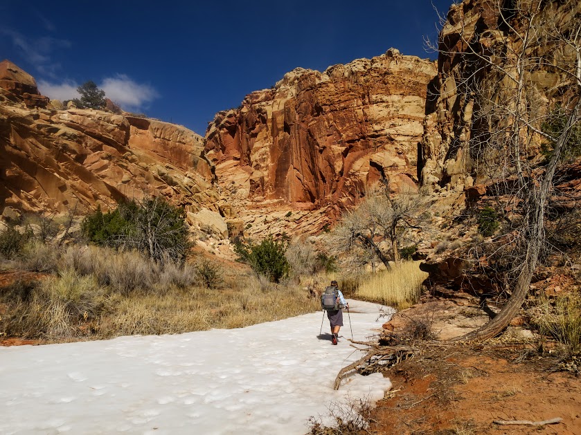
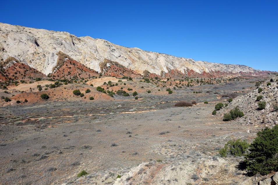
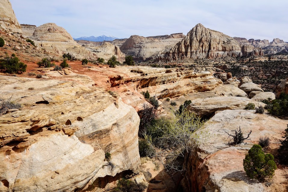
A lot of time is spent walking the wash. 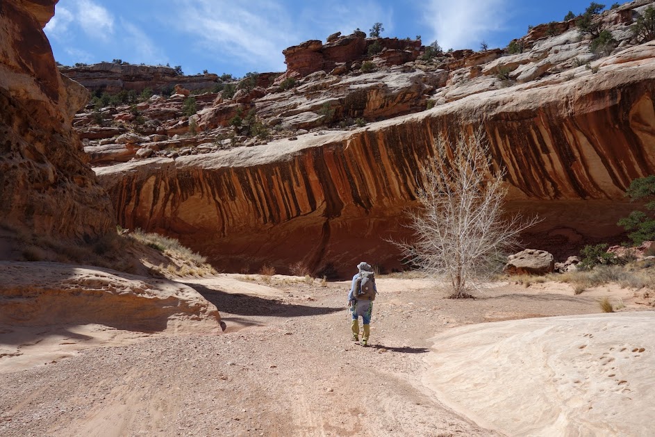
The Cottonwood trees were just beginning to leaf out. 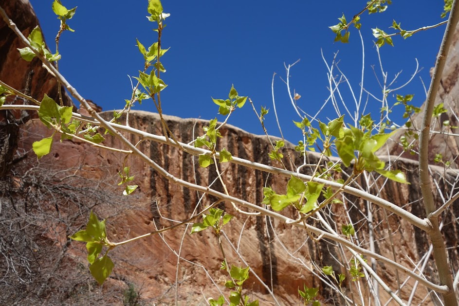
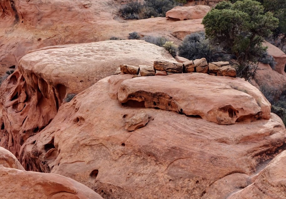
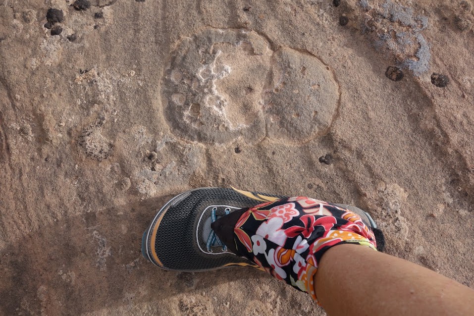
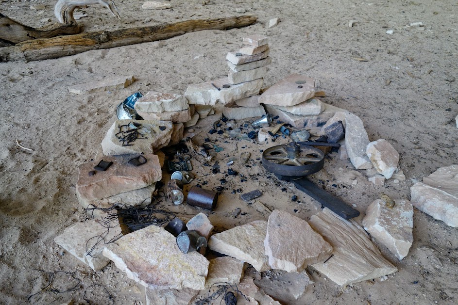
One alcove has been used by travelers for many decades. This is known as “Cowboy Camp.” Current philosophy is anything older than 50 years is history vs graffiti. 
This was the oldest date I found. I believe I read this was a stopping point for the Mormon pioneers. 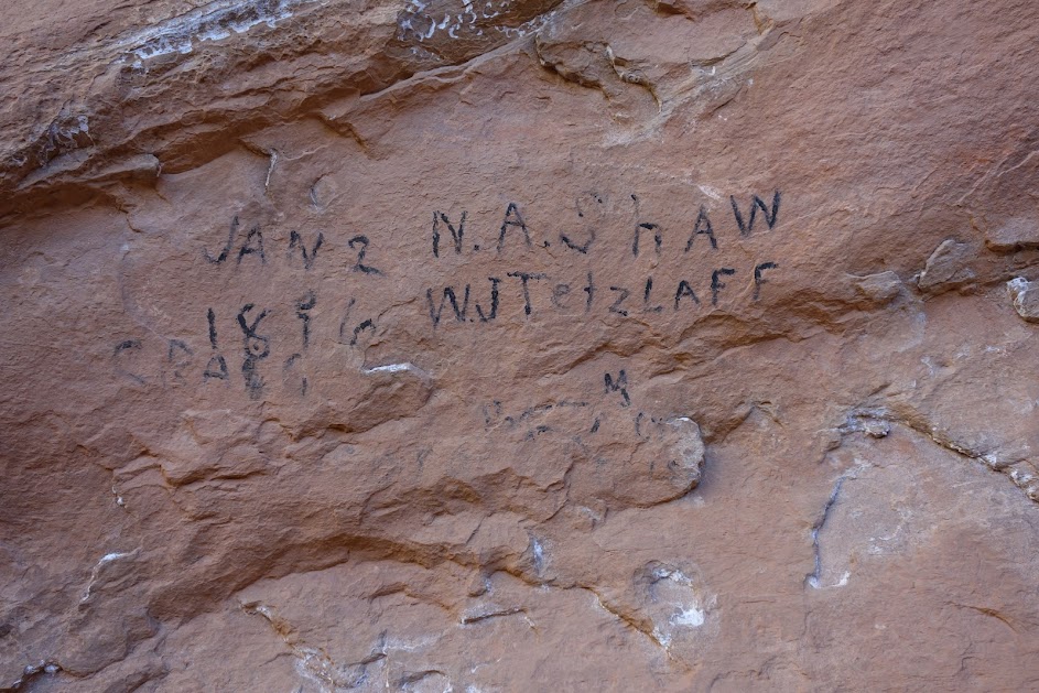
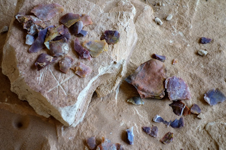
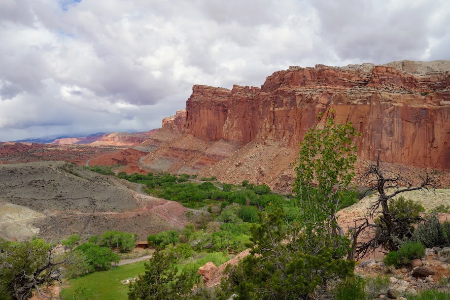
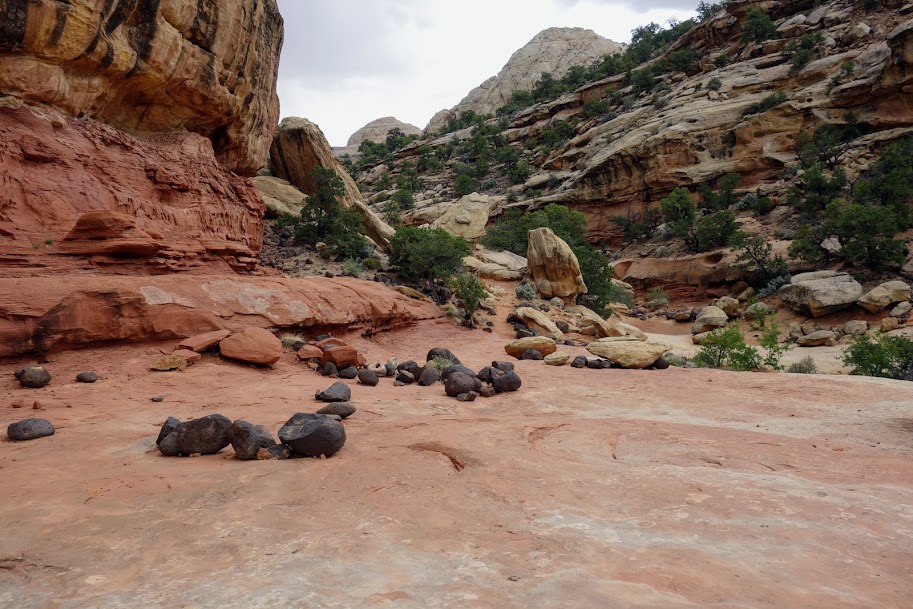
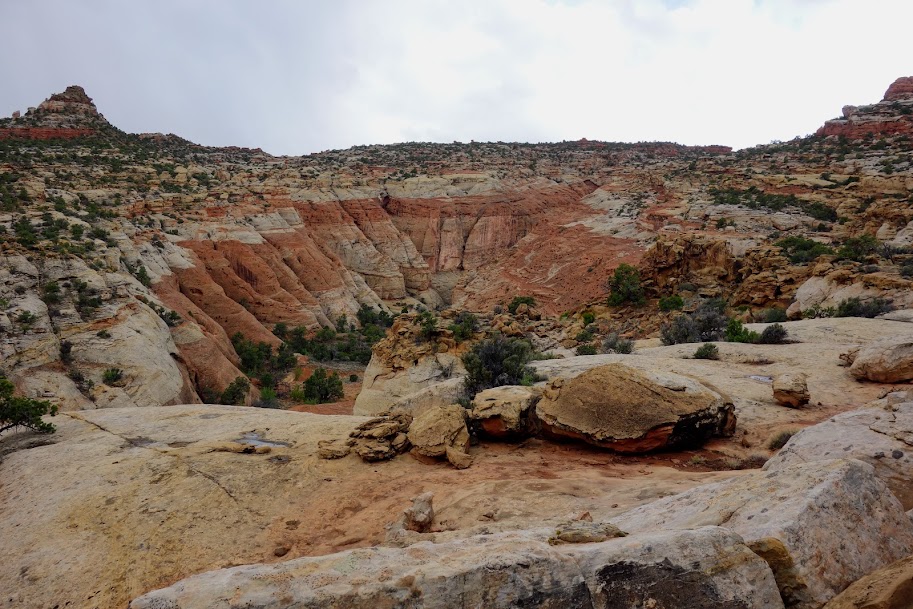
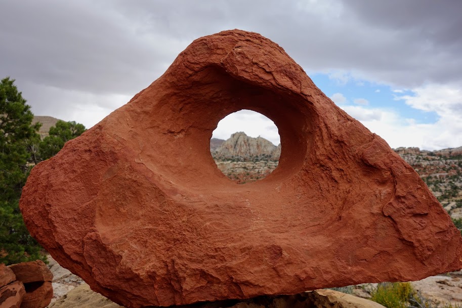
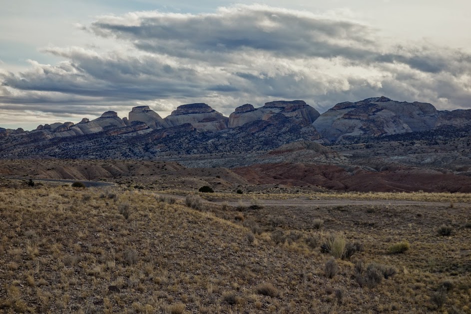
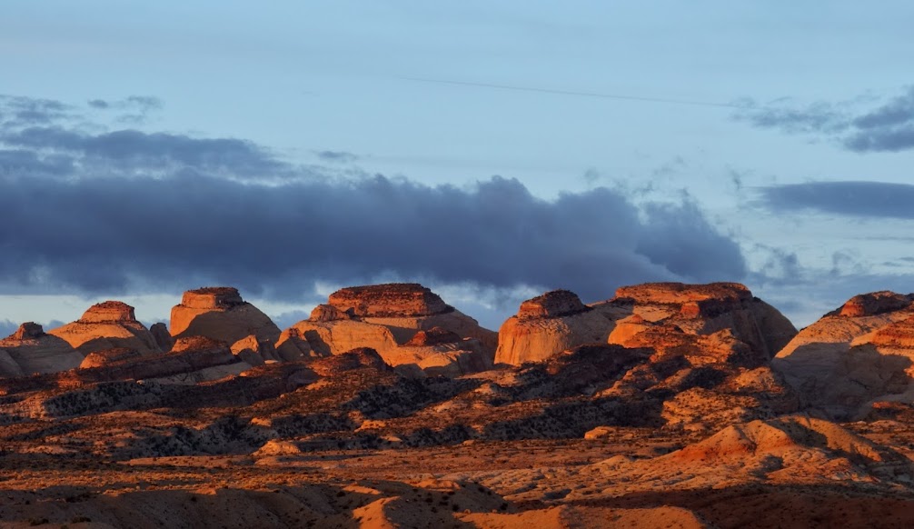
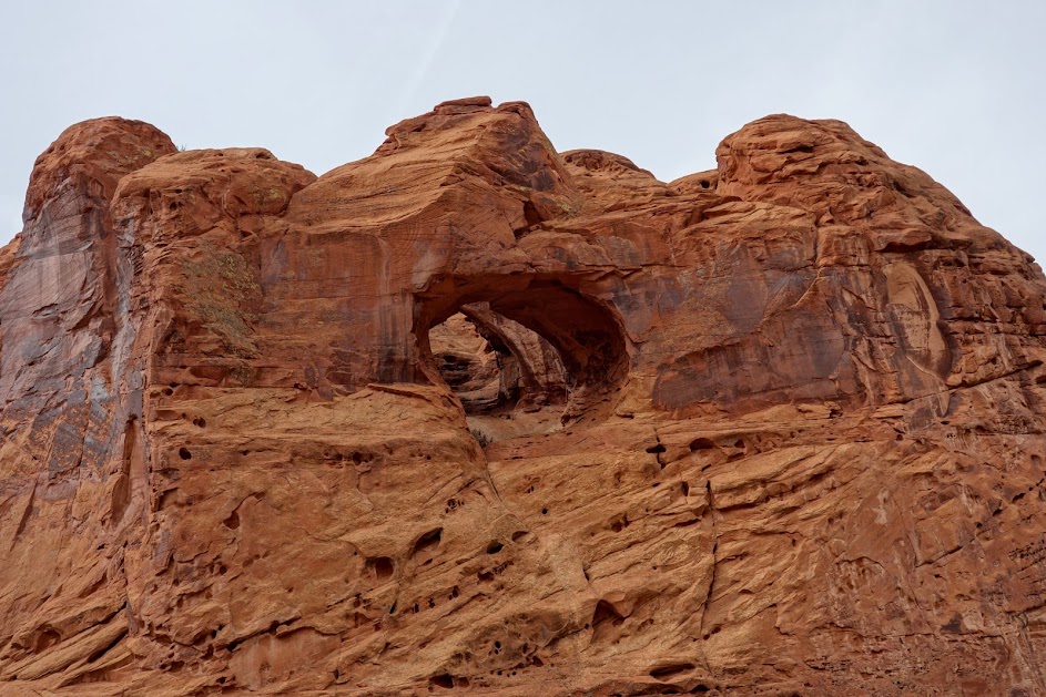
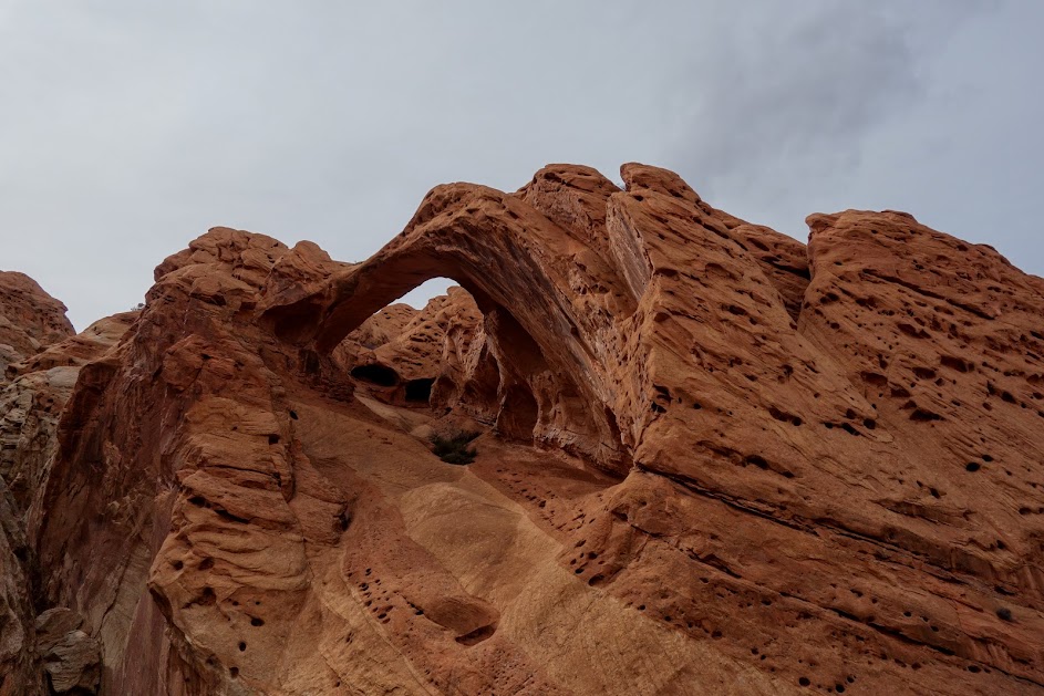
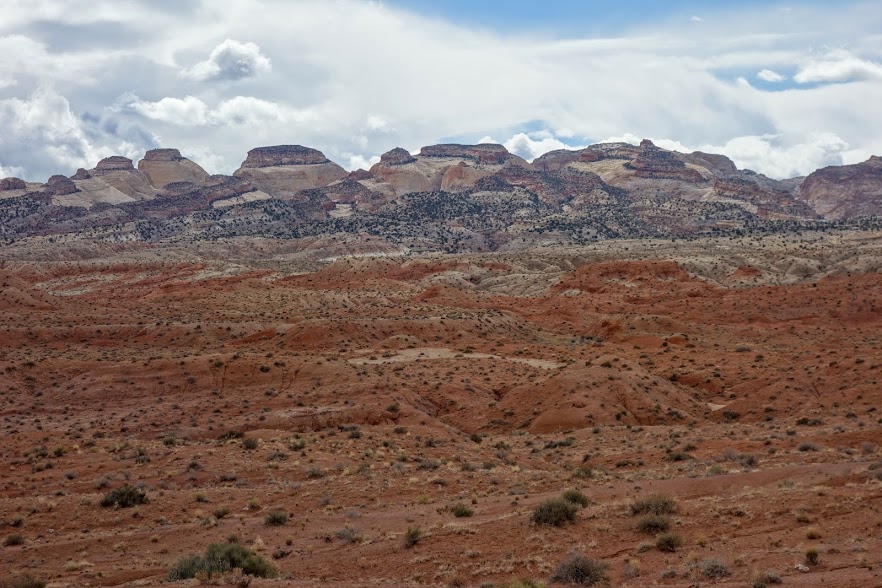
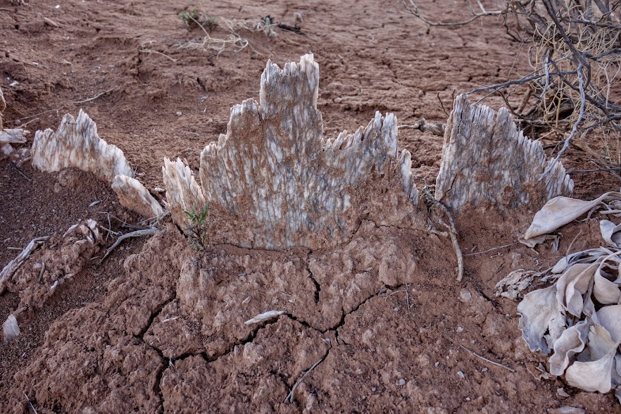
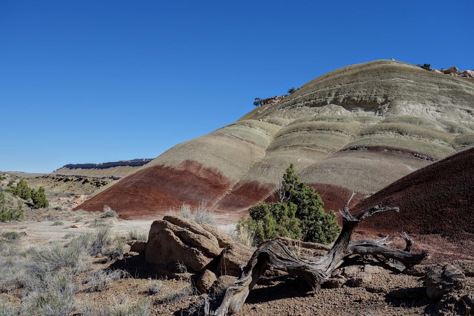
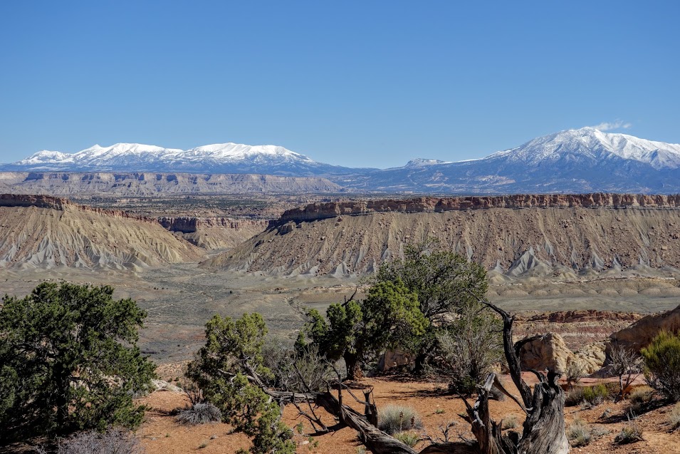
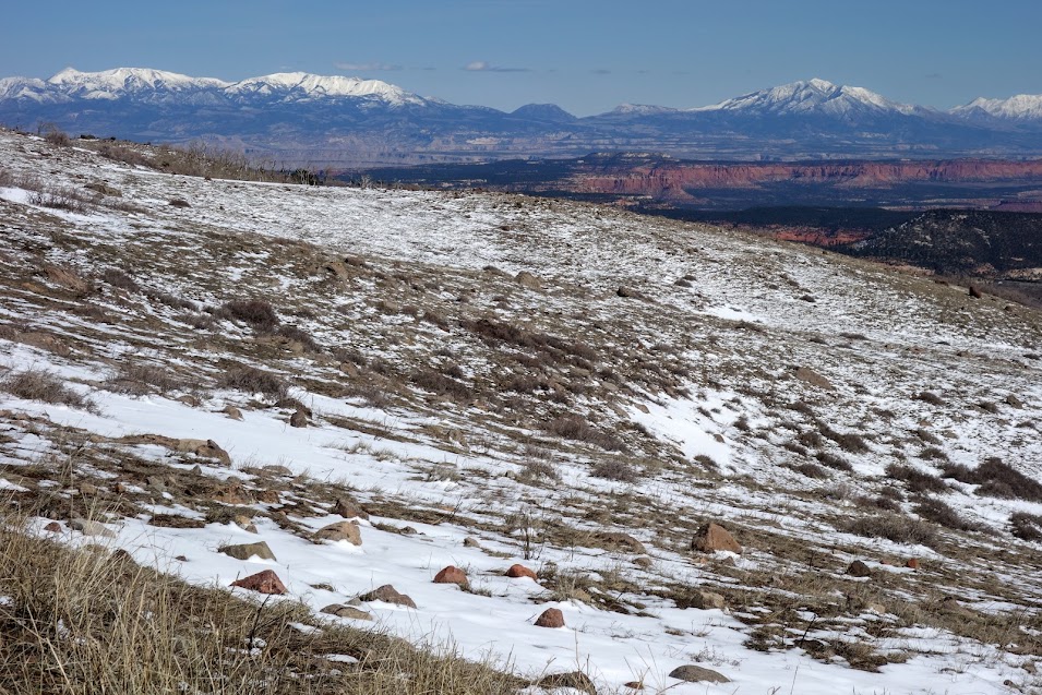
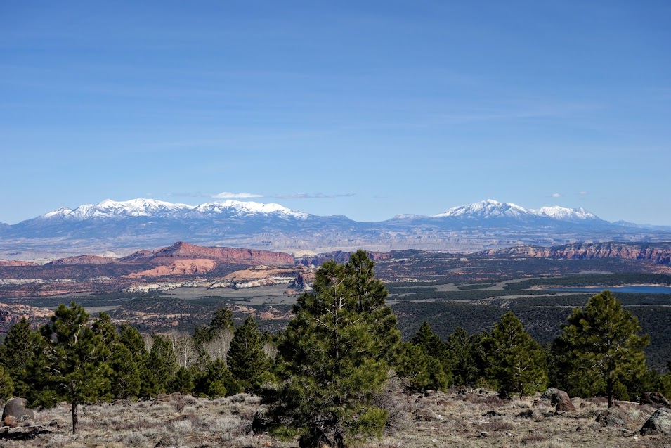
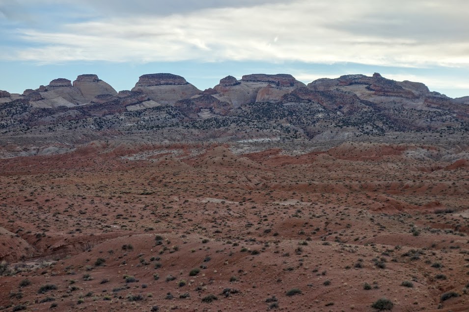
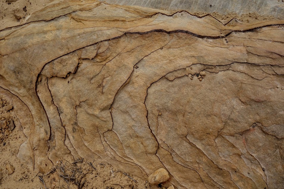
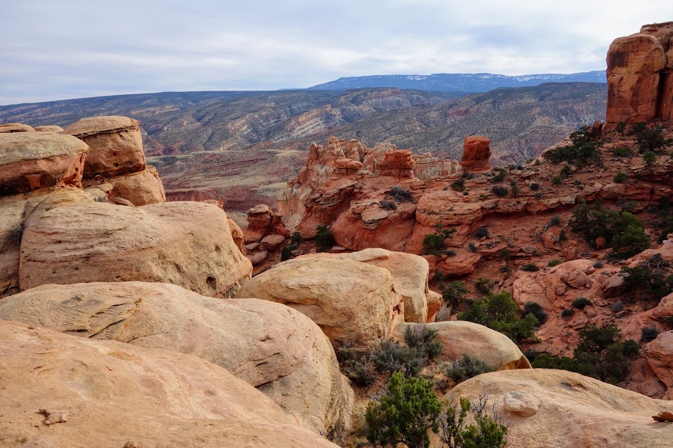
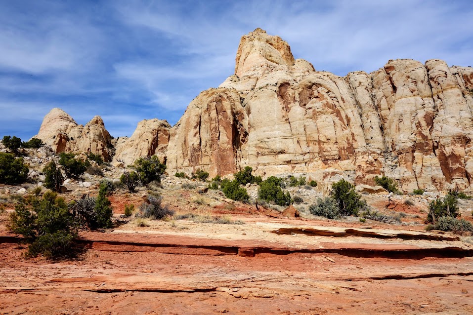
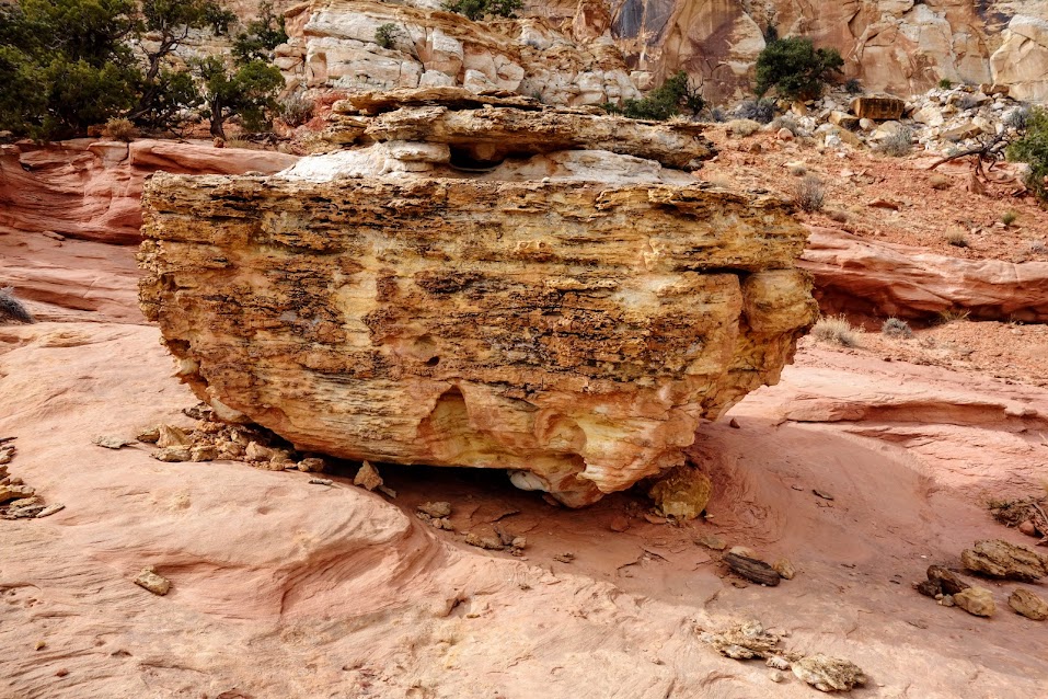
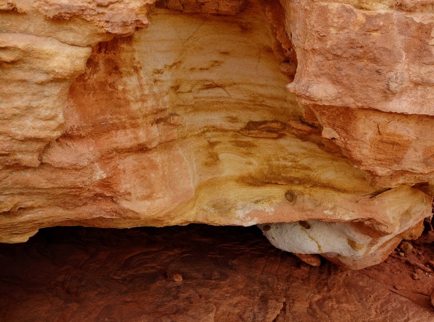
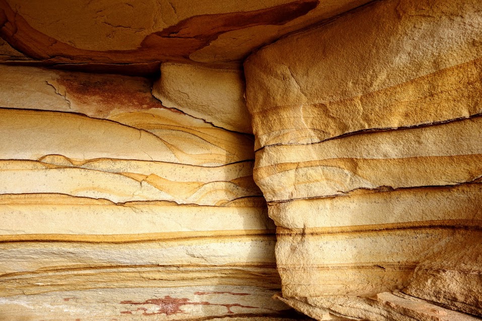
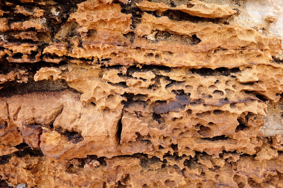
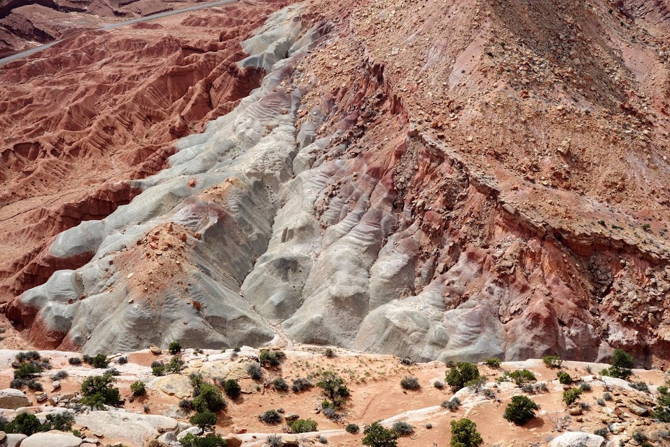
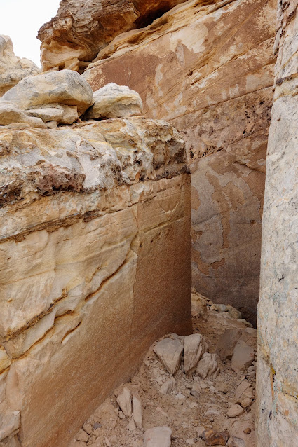
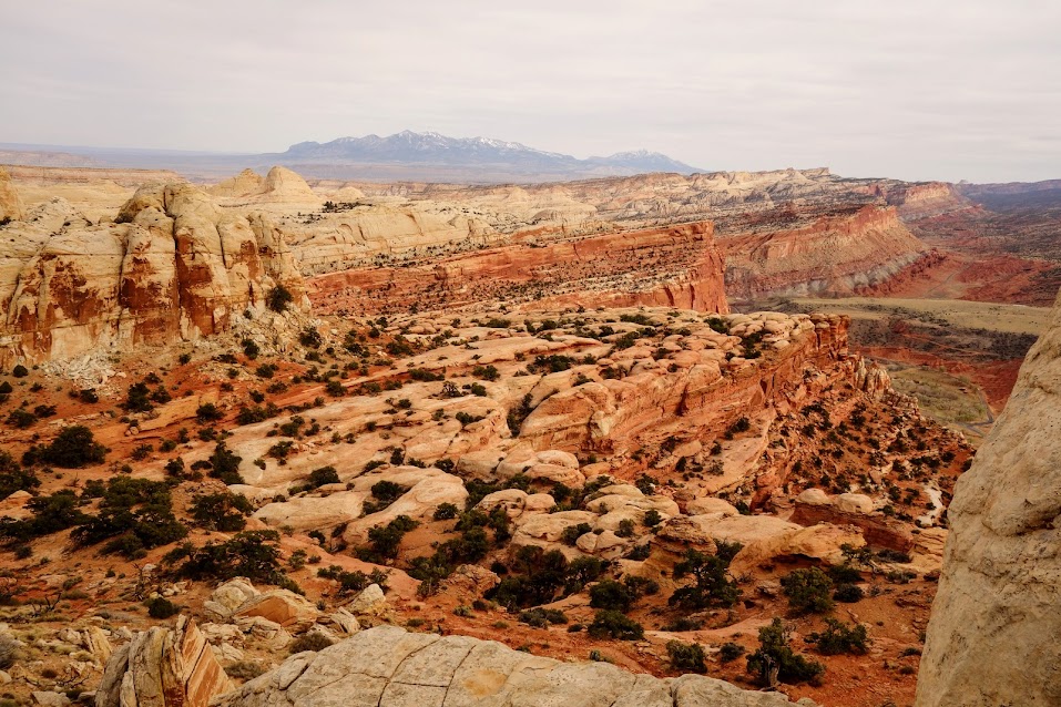
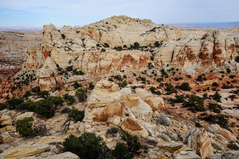
This was some of the WOW geology we found. 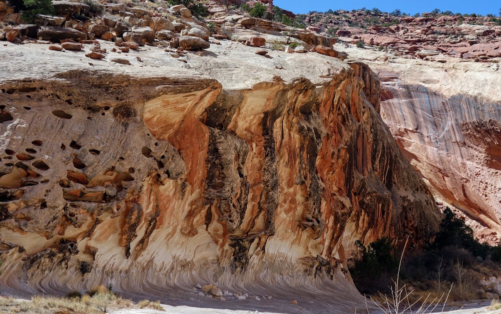
After finding our campsite, we had time to explore. Ah the freedom of going without a pack! 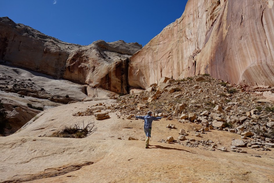
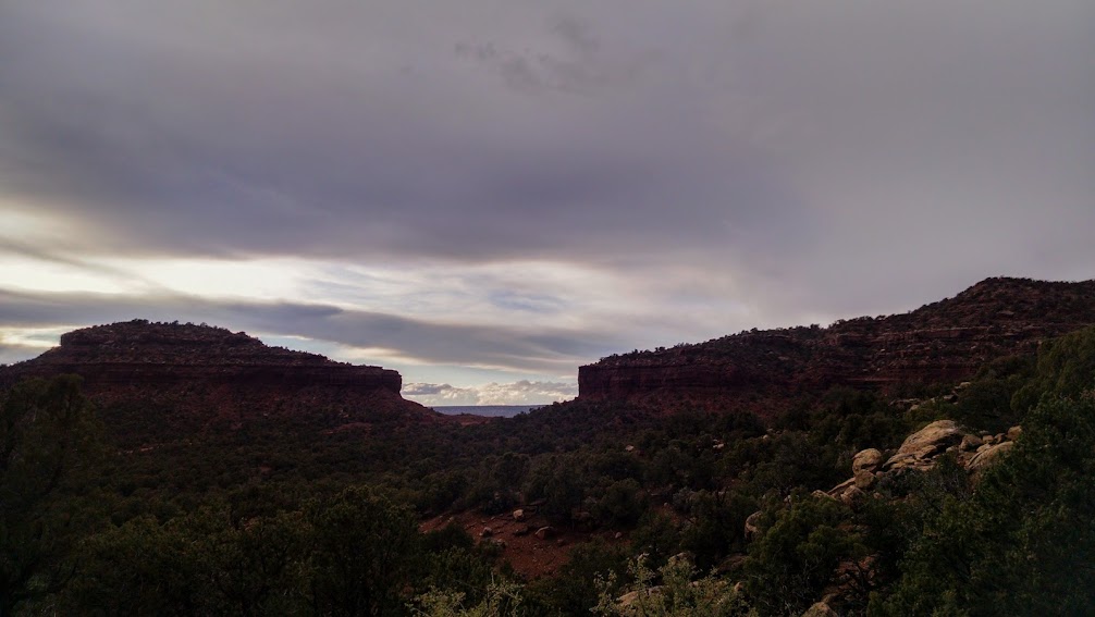
We might have even found a few moments to relish the last of the sun which disappears early when you’re deep in a canyon.
In fact we walked up and down the canyon finding sun, enjoying it, then retreating for a bit more time with our friend. 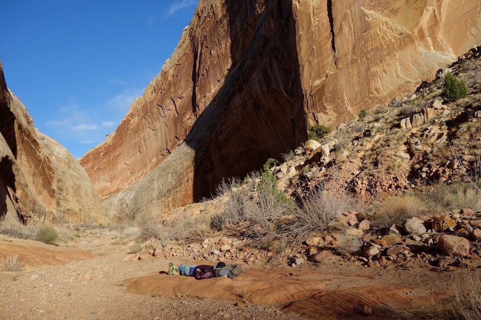
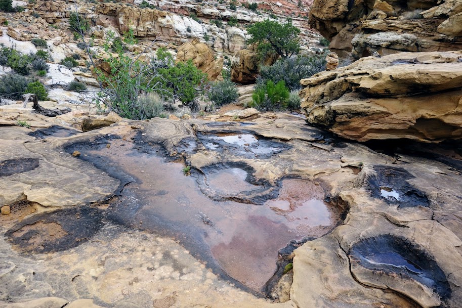
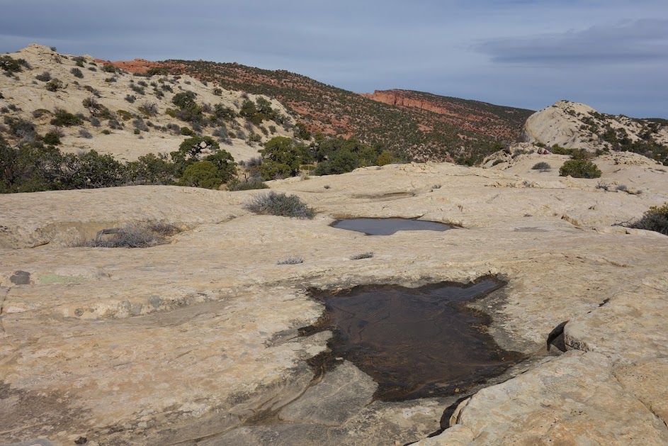
We roamed the slickrock and came upon this pool. 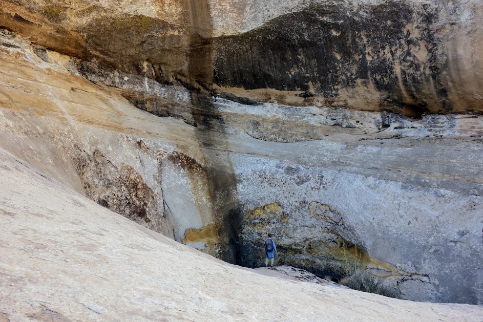
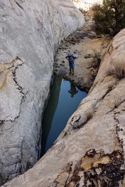
I considered jumping, NOT! 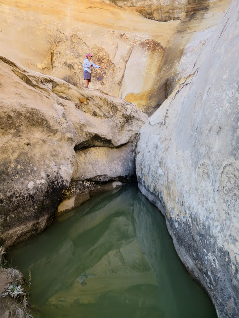
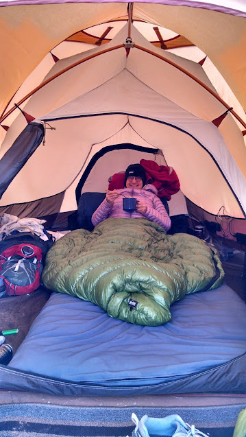
Home for the night . . . where I learned the lesson about wind and sand. Use the rain fly Jan!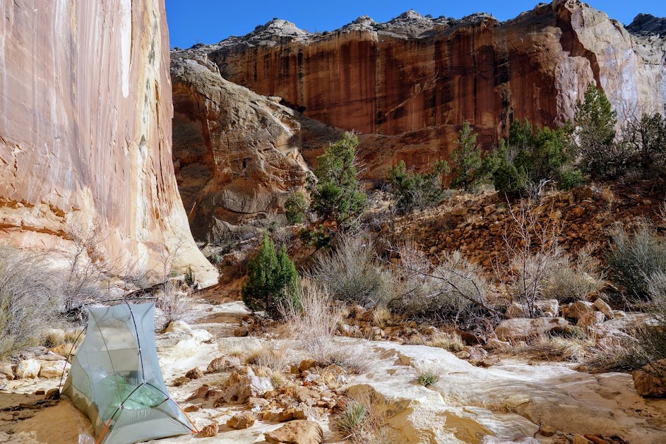
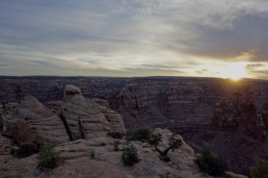
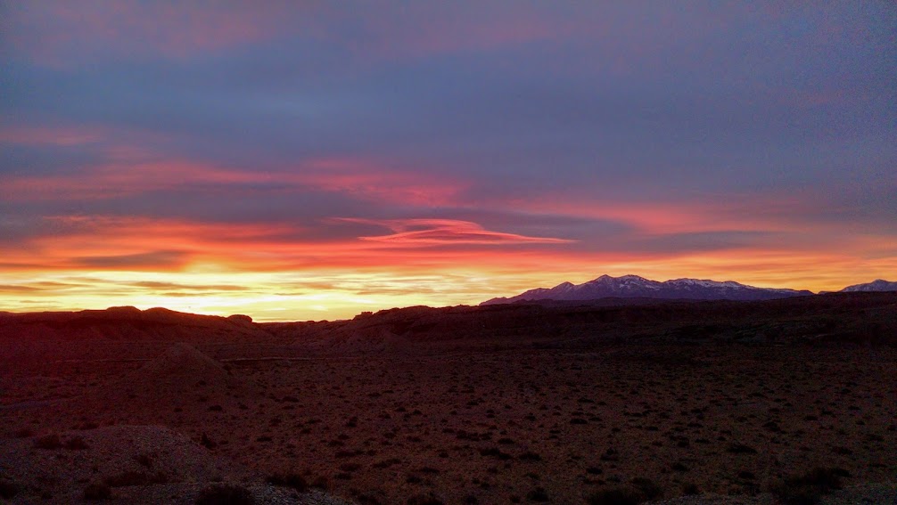
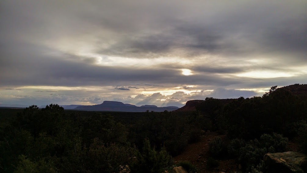
And then that orange orb said goodbye for good. 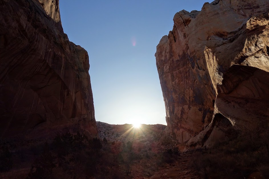
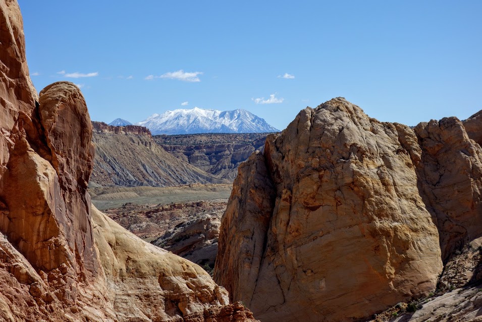
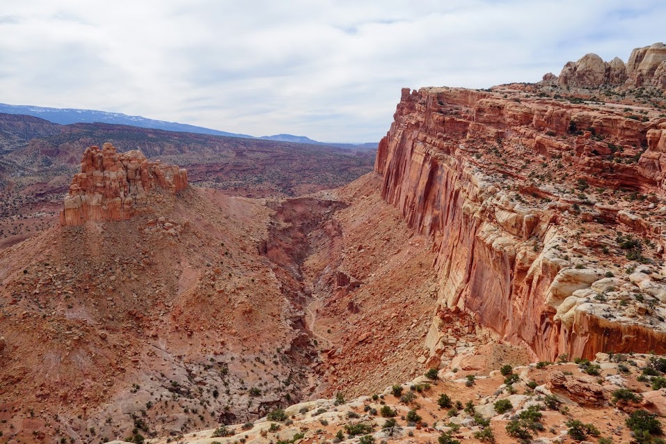
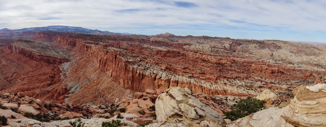
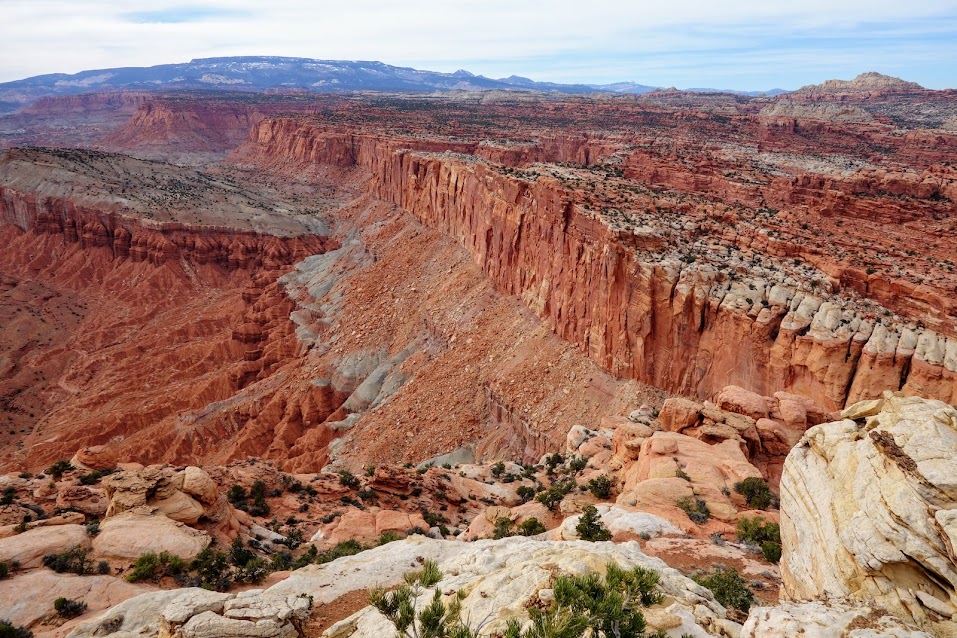
Per the NPS website, “Near the end of Lower Muley Twist is a high alcove, after which the canyon turns toward the east and becomes very narrow with high walls. At this point the high cliffs of Big Thomson Mesa are visible ahead.” 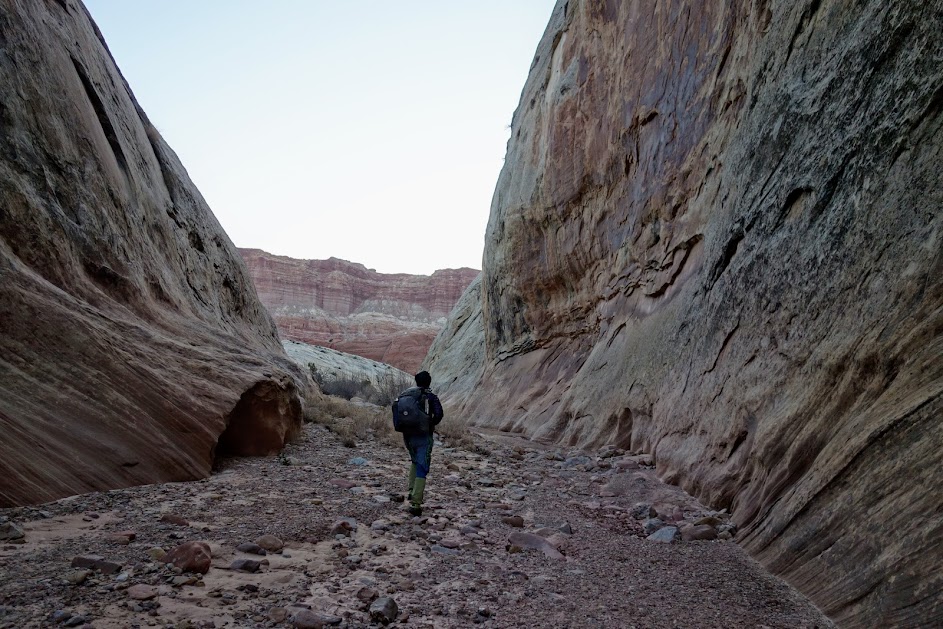
The sun arrives late in the canyon just like it goes to bed early. 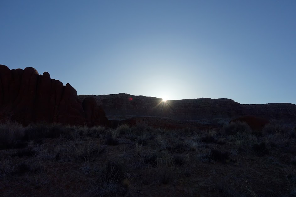
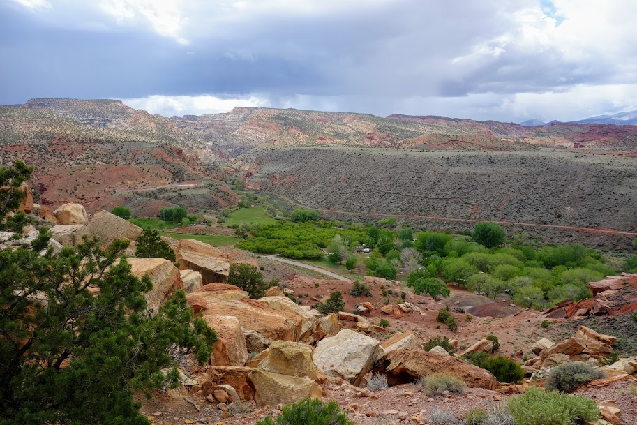
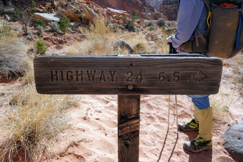
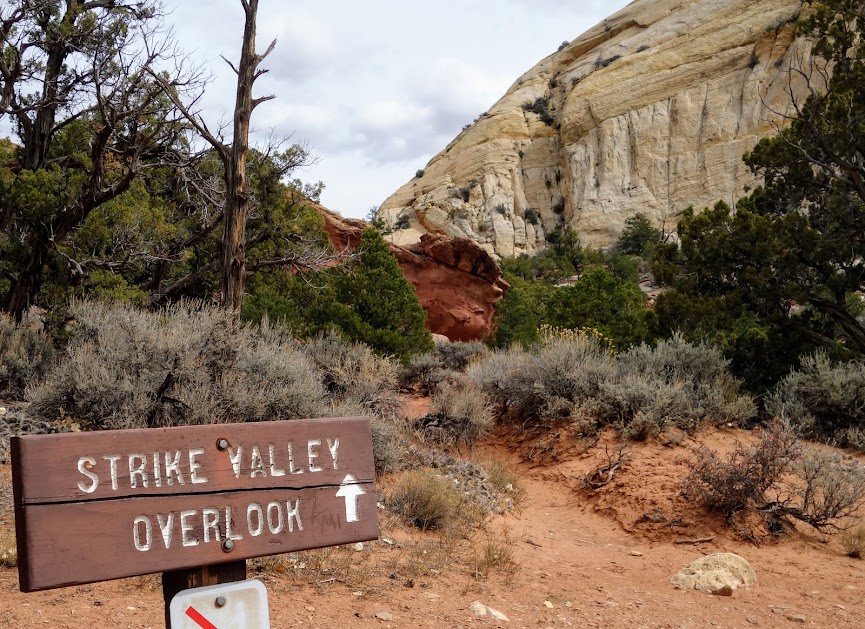
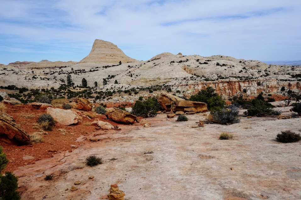
After exiting the canyon, we took the detour to Hamburger Rocks before continuing our loop up Grand Gulch, an old road the Mormon pioneers finally discovered as a much improved option to the Muley Twist Canyon. 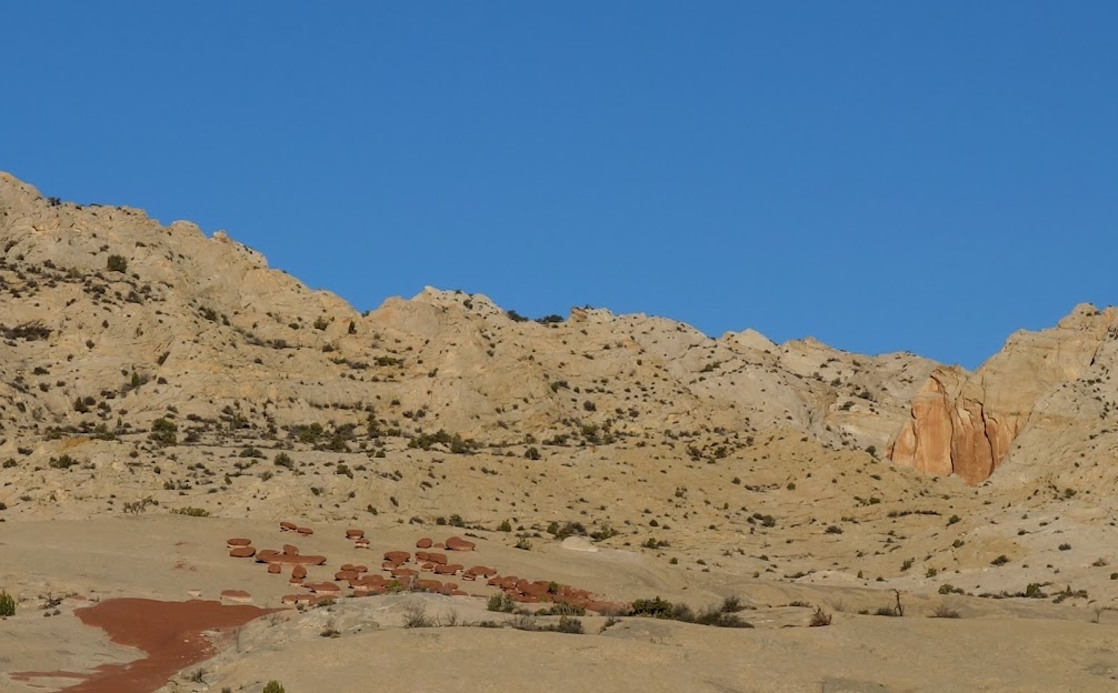
Joan might have been a little excited for a hamburger. 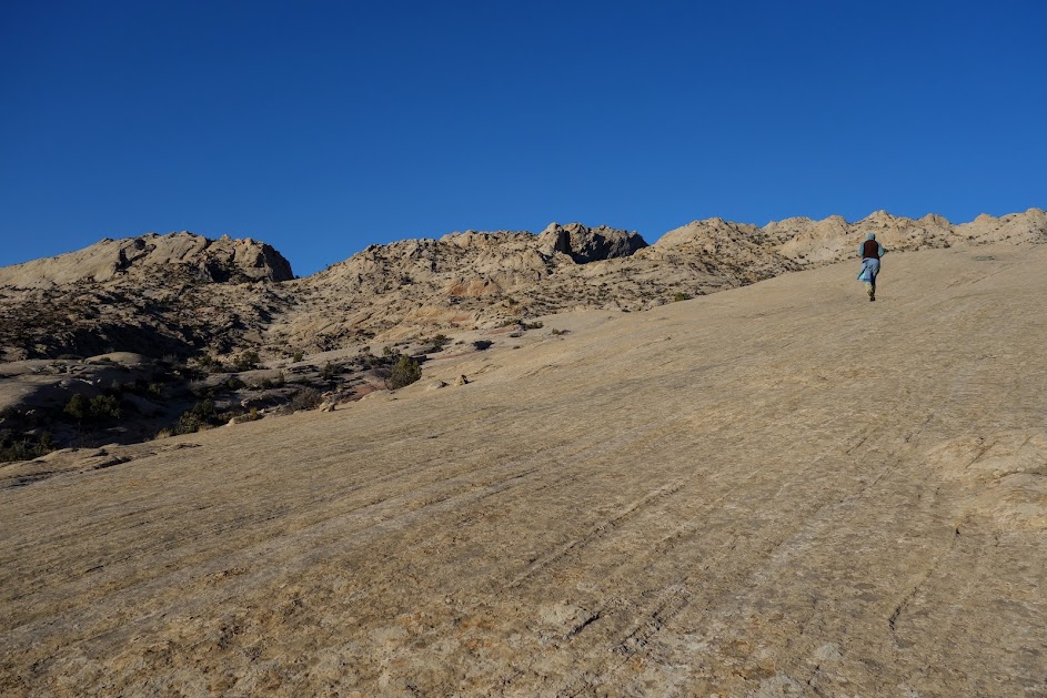
Soon enough it was time for the hamburger challenge. 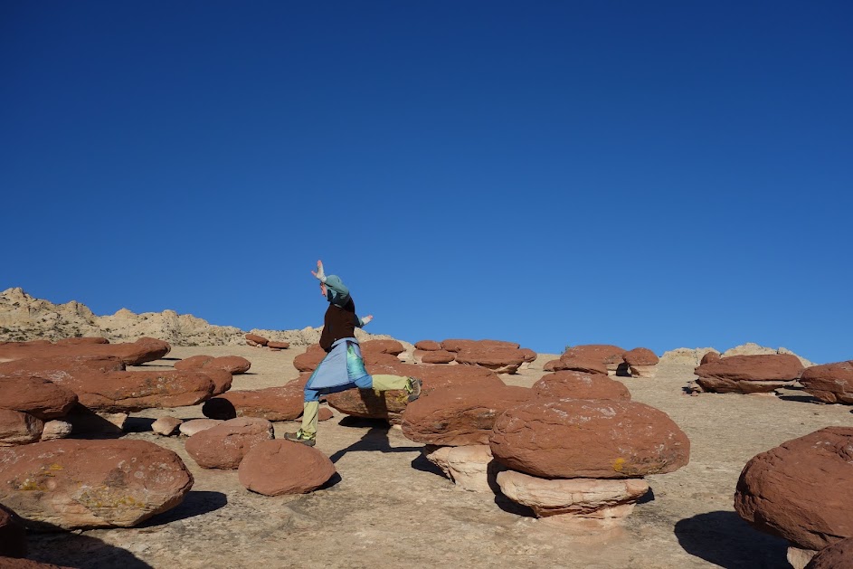
Where there are hamburgers, there must also be rootbeer floats. Joan is eagerly awaiting completion and reward. 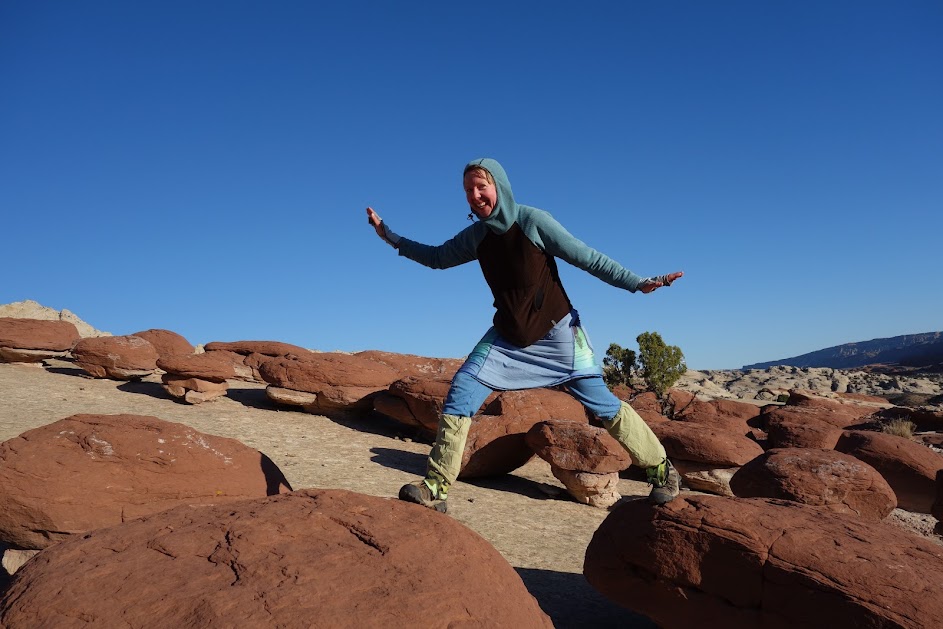
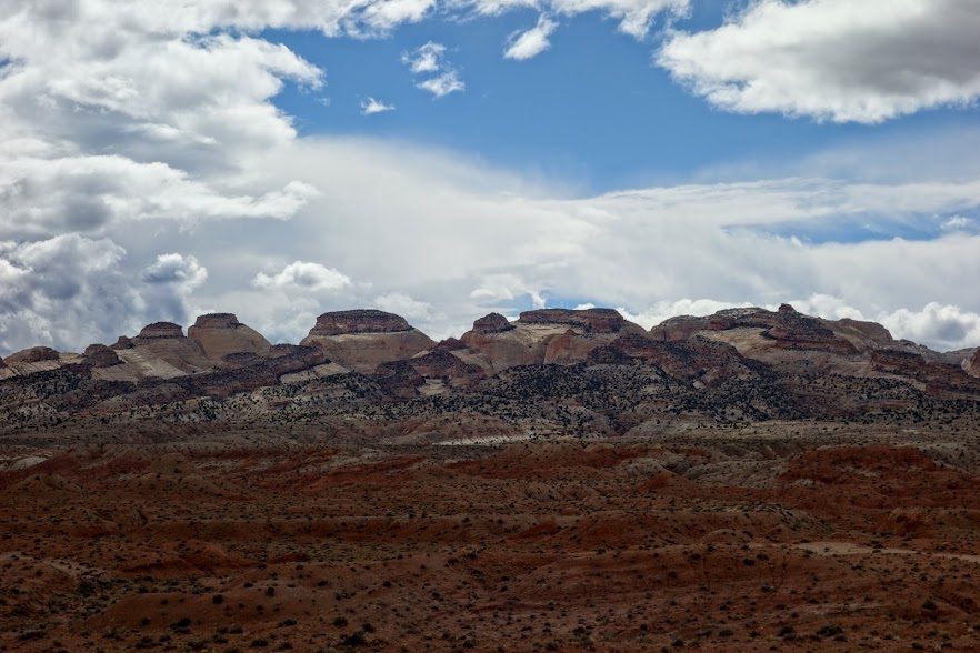
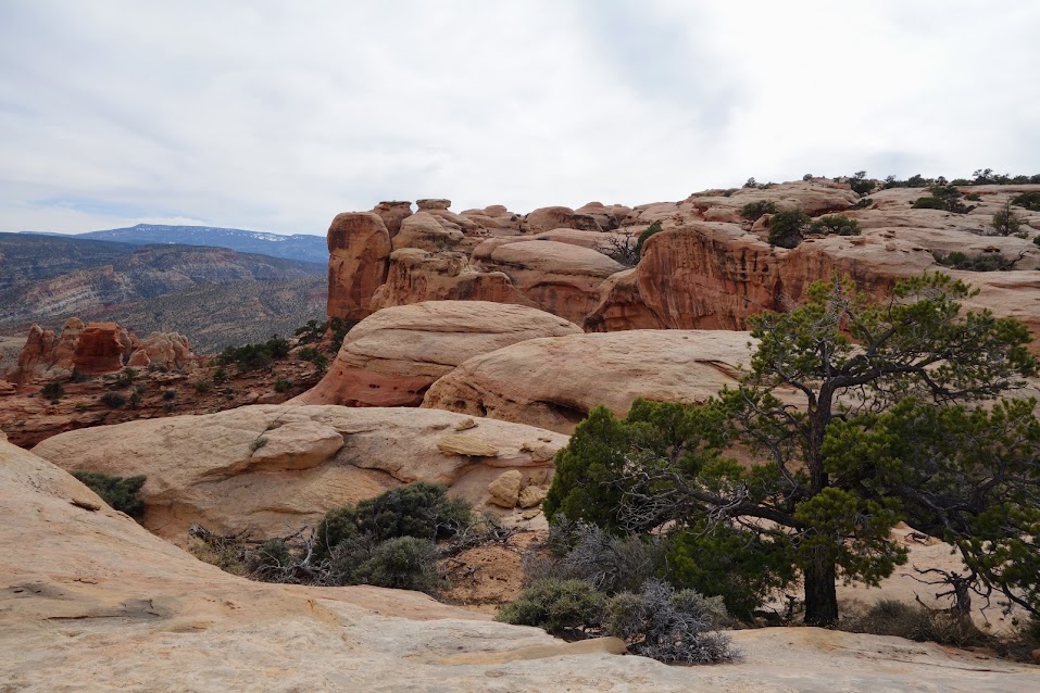
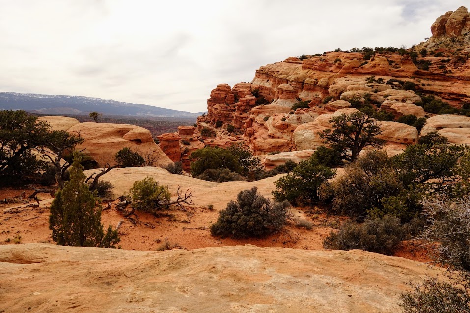
We can attest that the detour was well worth our time. According to NPS, “these are small, dark-red hoodoos within the Navajo sandstone.”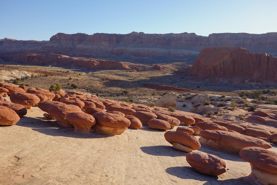
Next detour was Muley Tanks. Since Joan and I have hiked a fair amount in the desert we didn’t know what to expect. Would it be a metal tank where we’d need to climb a ladder like we did on the Arizona Trail? Or would it be a mud pond like we found on the Continental Divide Trail? Would it be a cattle trough?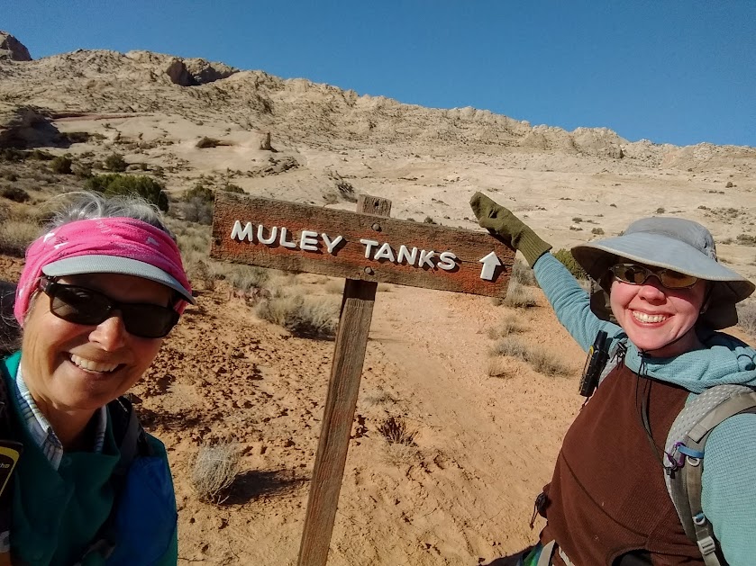

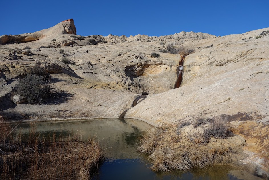
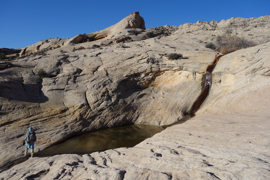
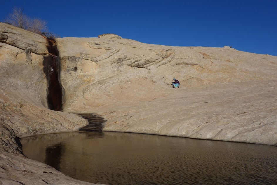
Yes, we might have said WOW! 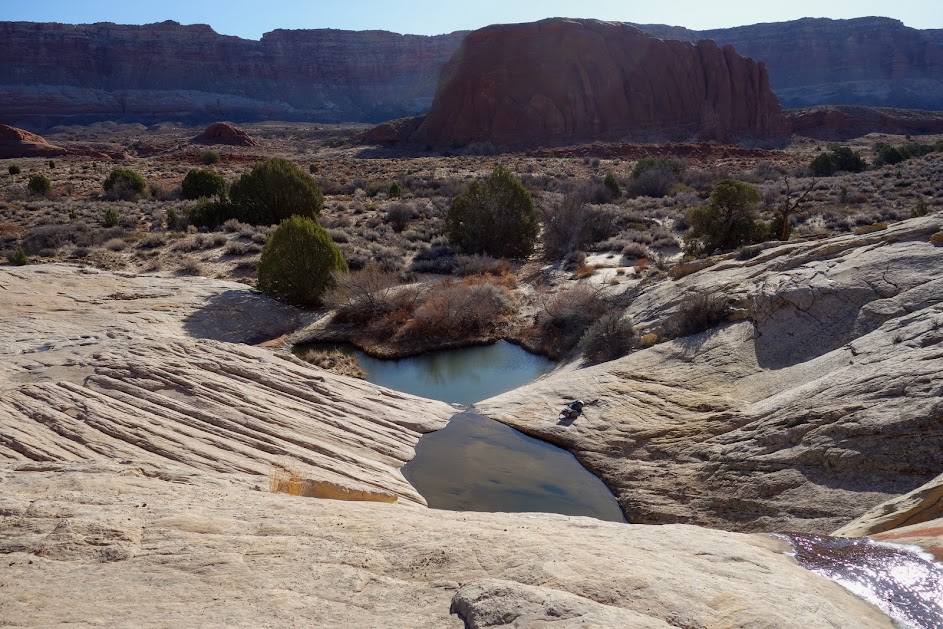
After Muley Tanks, we had pretty high expectations of Cottonwood Tank. 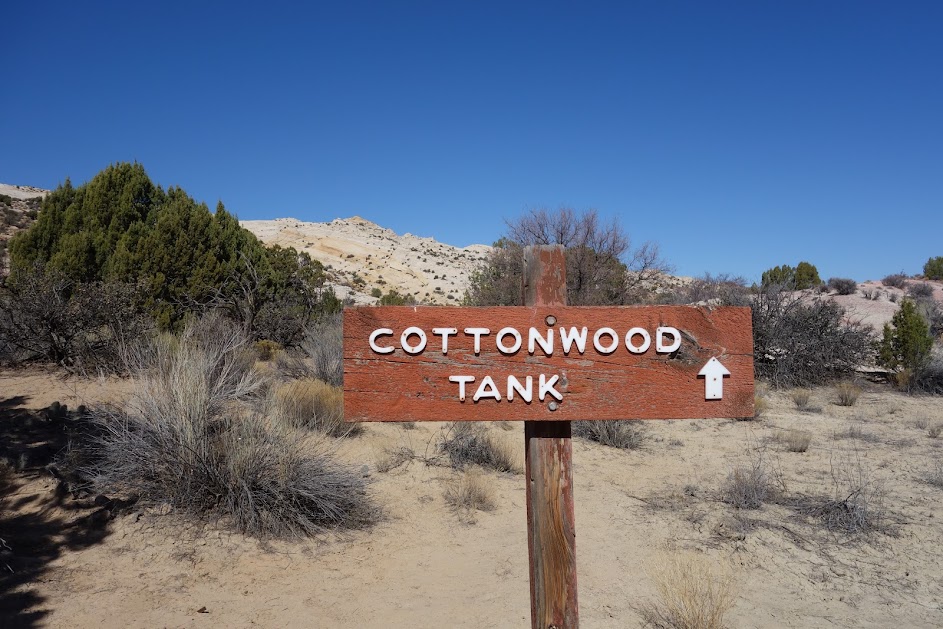

I think Joan has just about perfected this relaxation thing. 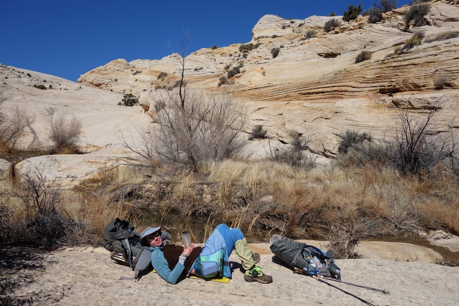
I love finding survey markers. 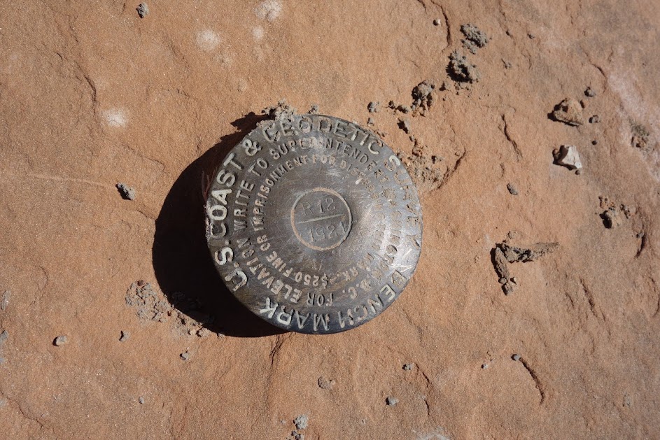
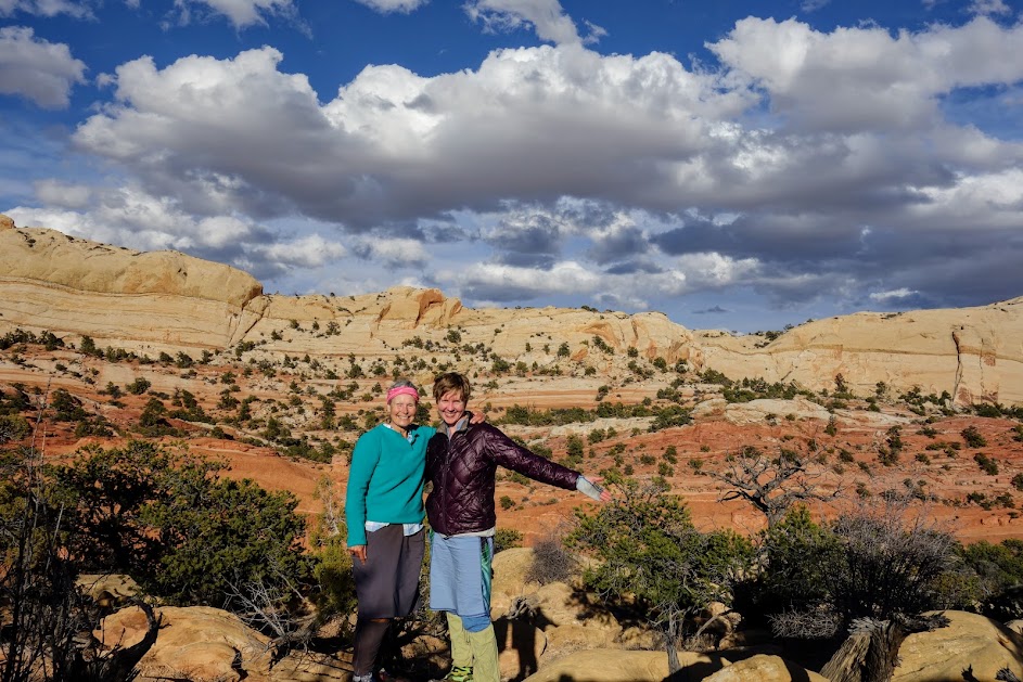
It was end of another fab adventure and time to sign in on the trail register. We survived and lived to tell about it! 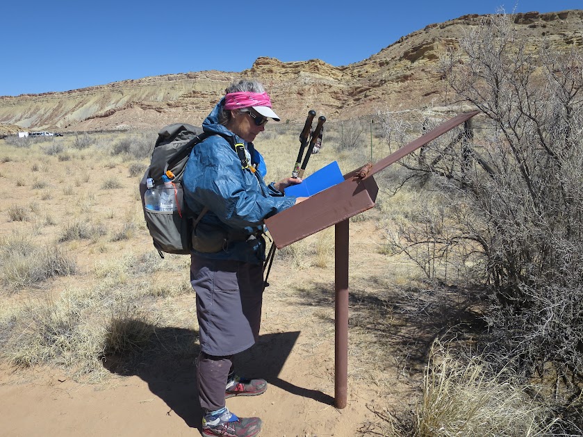
The reward, car camping and a hot dinner. 
Joan camped in a dry wash protected from the wind while I slept in my car. 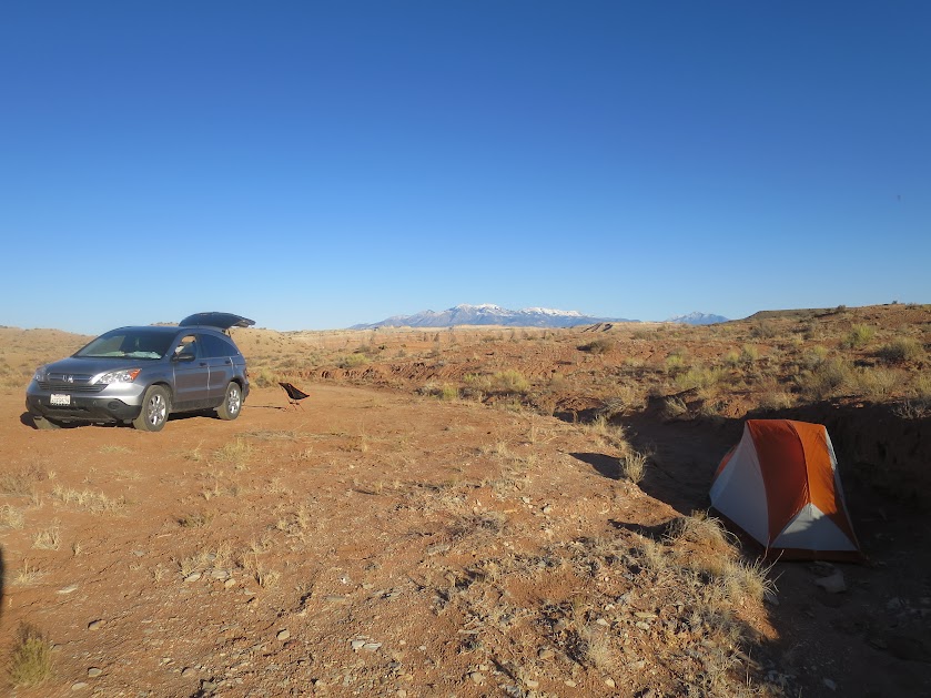
But first we watched sunset and the full moon rise from the comfort of my car. 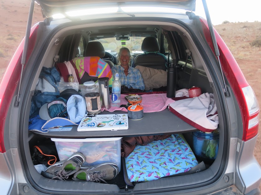
Adventure Dates:
Tips:
- According to NPS, “The route not an official, maintained trail. It is marked with rock cairns and signs, but carrying a topo map is recommended. Route conditions, including obstacles in canyons, change frequently due to weather, flash floods, rockfall, and other hazards. Route finding, navigation, and map-reading skills are critical. Do not rely solely on unofficial route markers such as rock cairns which are not maintained by NPS. It is extremely hot in summer and water sources are unreliable.”
- Free backcountry permits are required for all overnight trips and can be obtained at the Visitor Center.
- Obtain a copy of the trail handout at the Visitor Center. It has tips about the POI’s as well as trail beta.
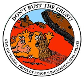
- Be aware of biological soil crust.
Resources:
Links: