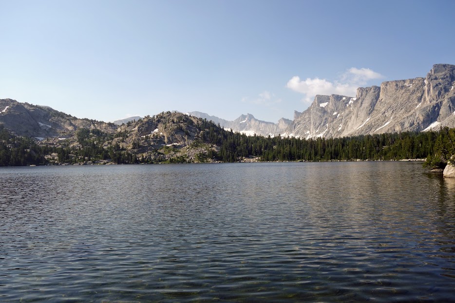
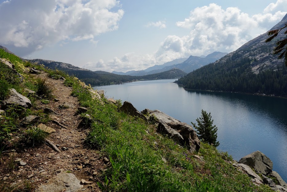
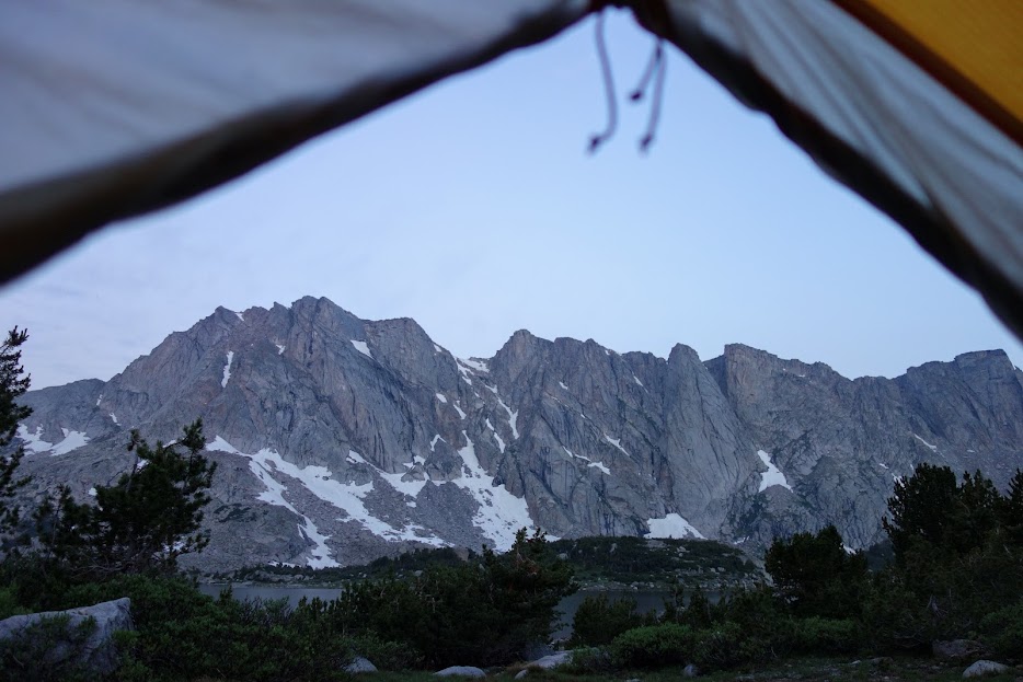
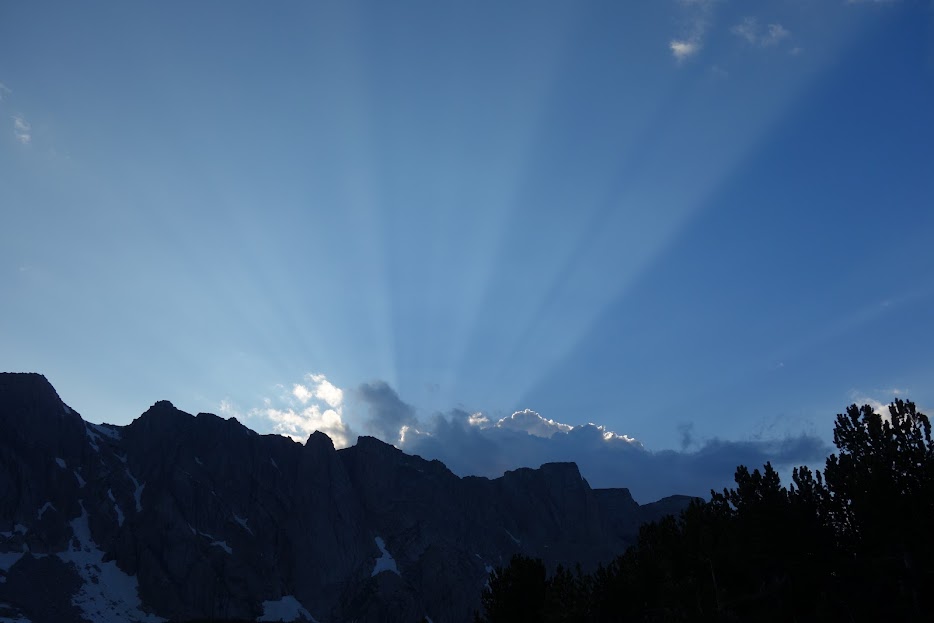
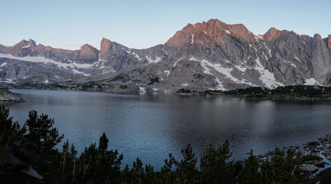
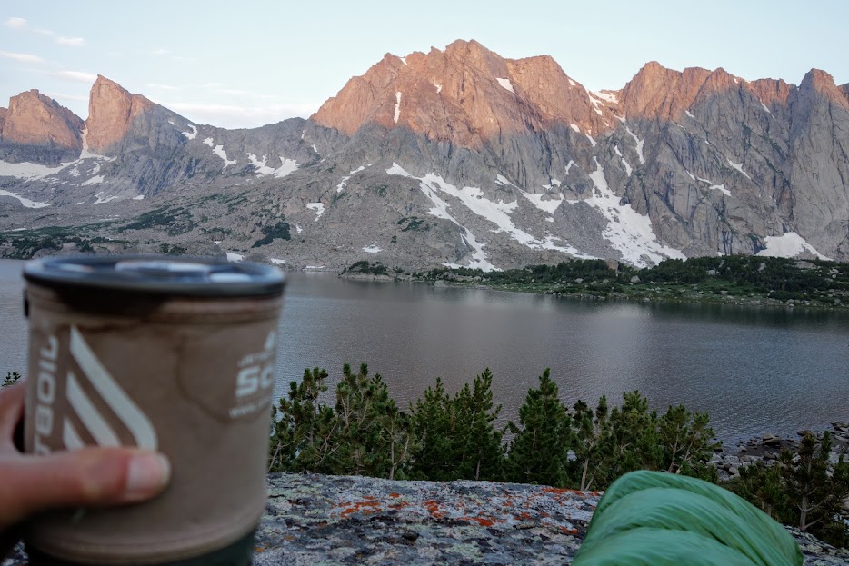
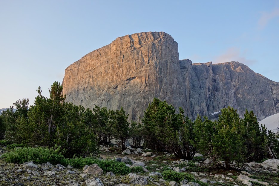
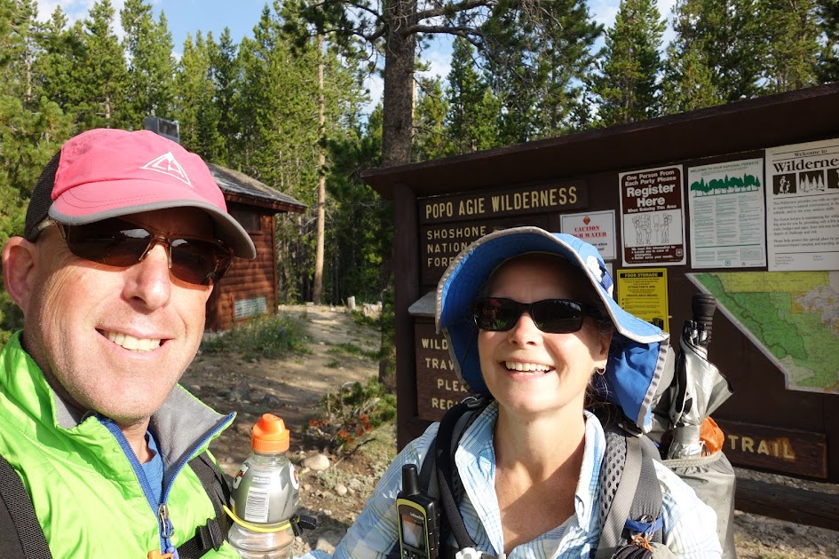
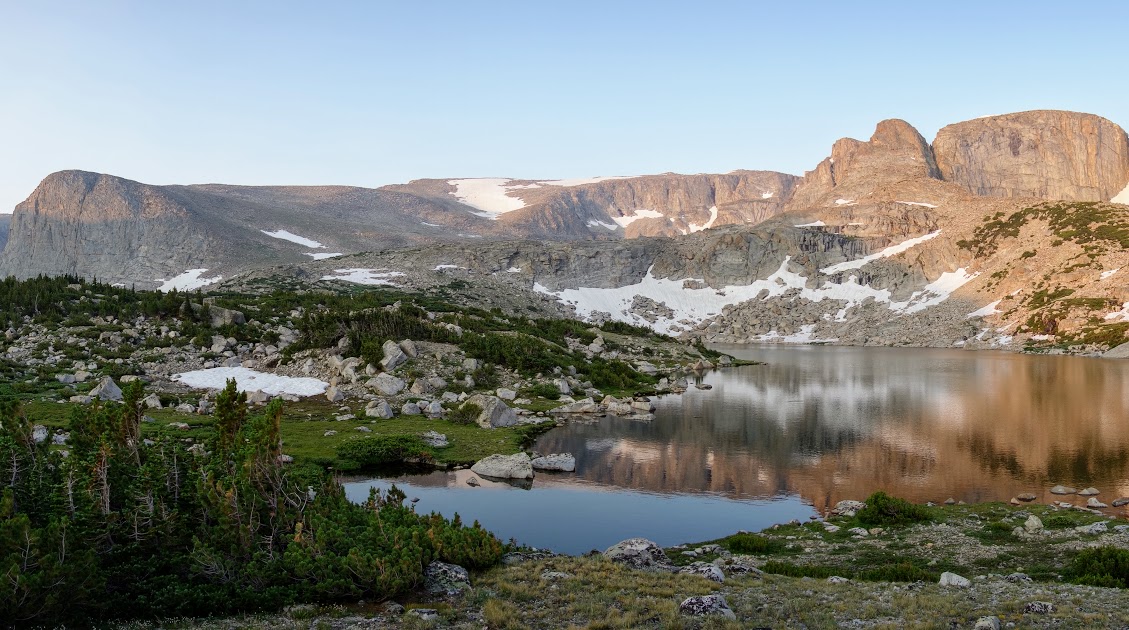
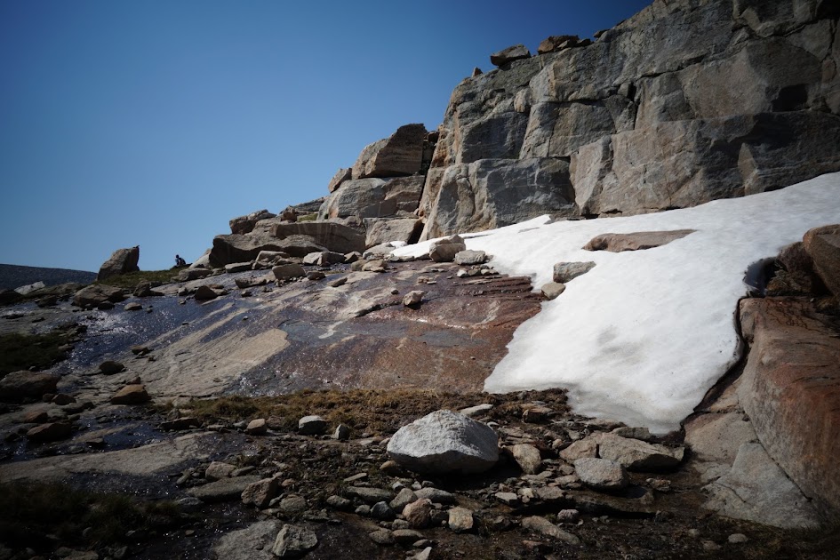
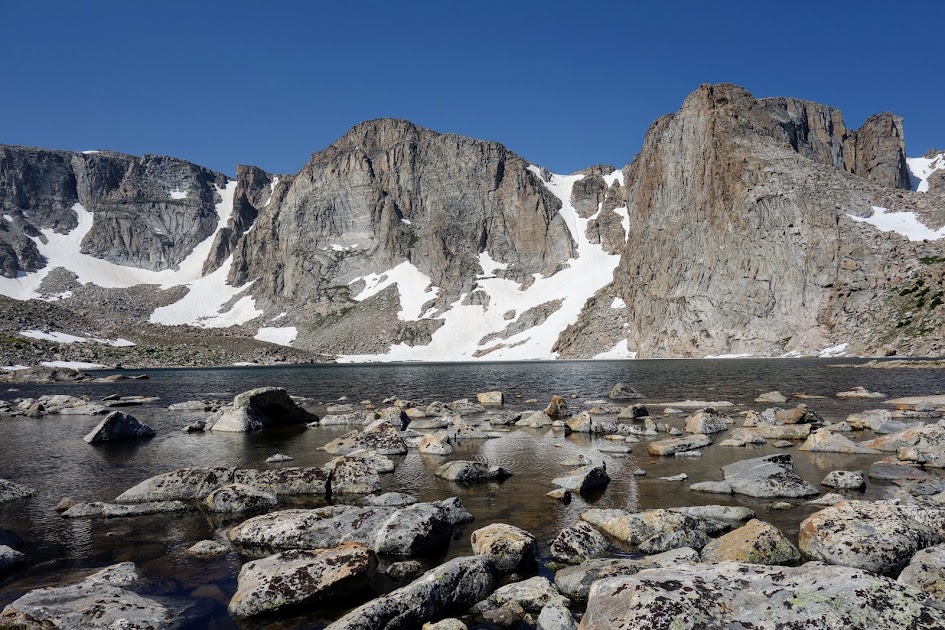
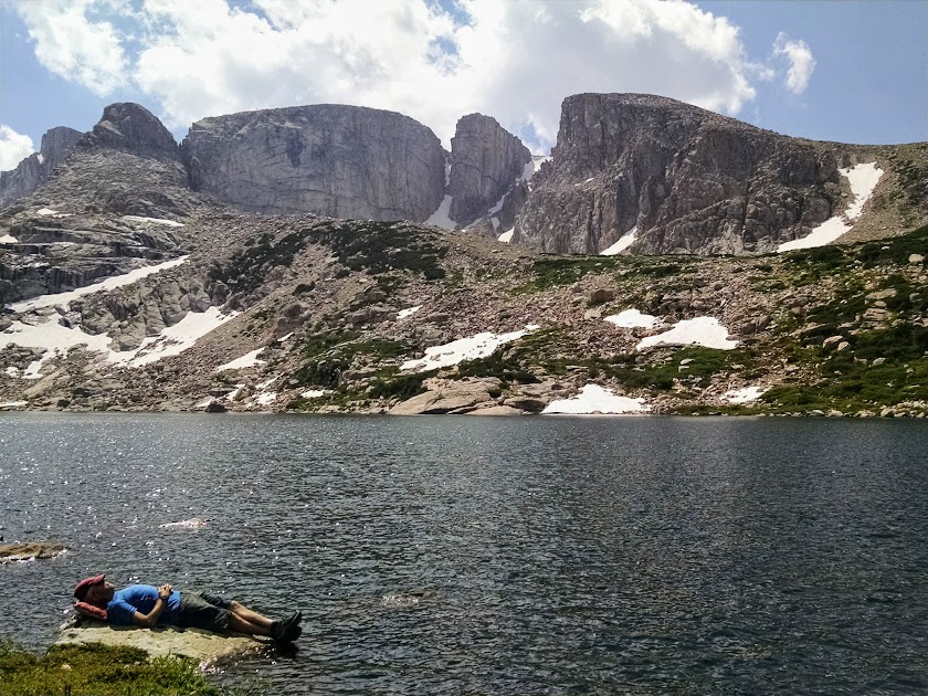
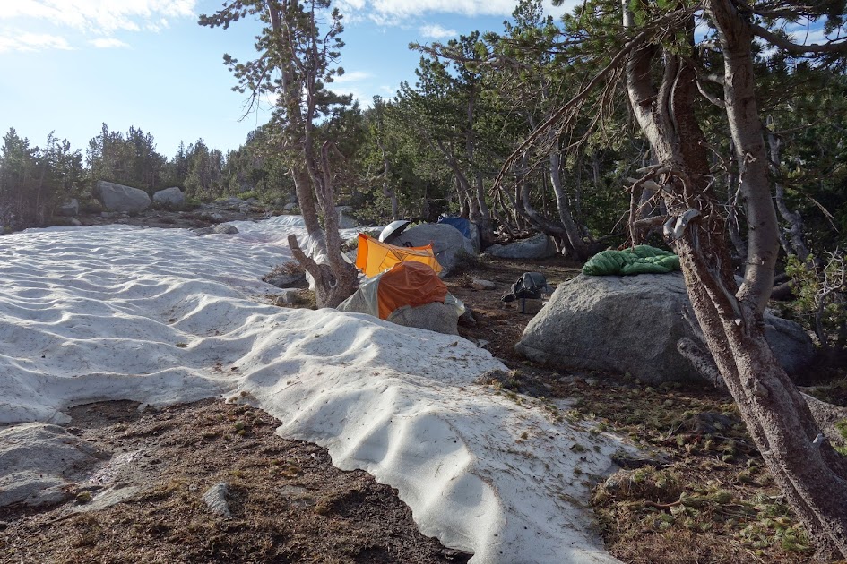
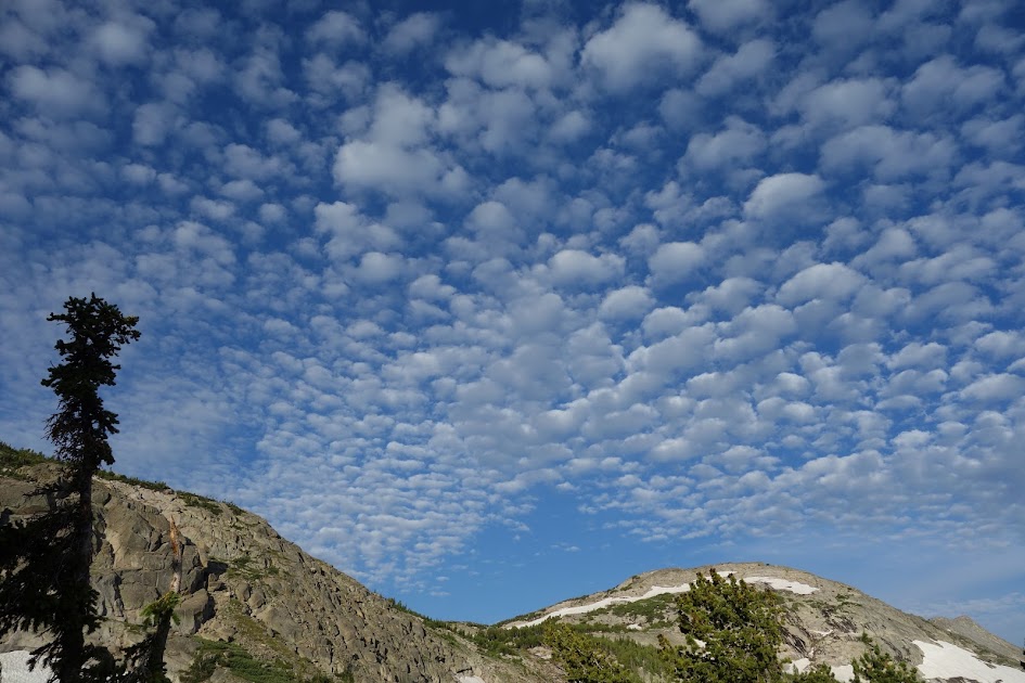
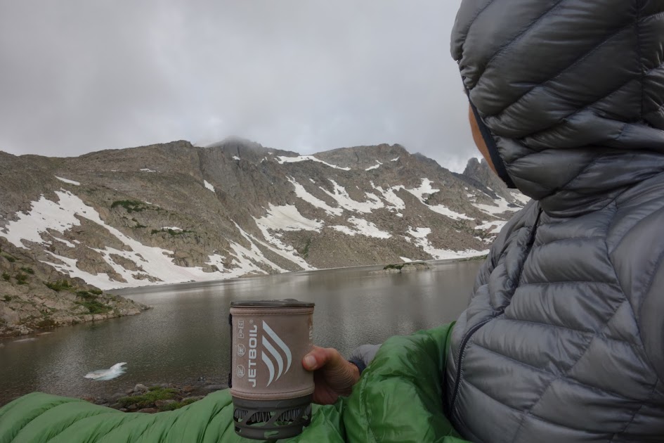
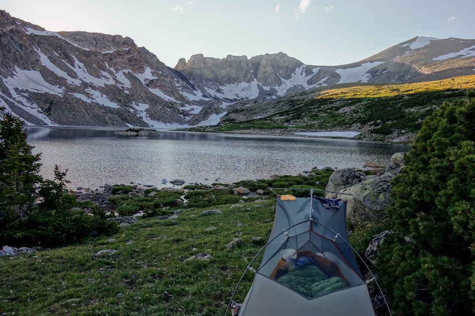
Under crisp blue skies, Bill and I said goodbye to beautiful Tayo Lake. This is a continuation of a trek which started at Sheep Bridge Trailhead and traversed counterclockwise to Deep Creek Lakes (link to Part 1), then south through Ice Creek Lakes and on to Tayo Lake (link to Part 2).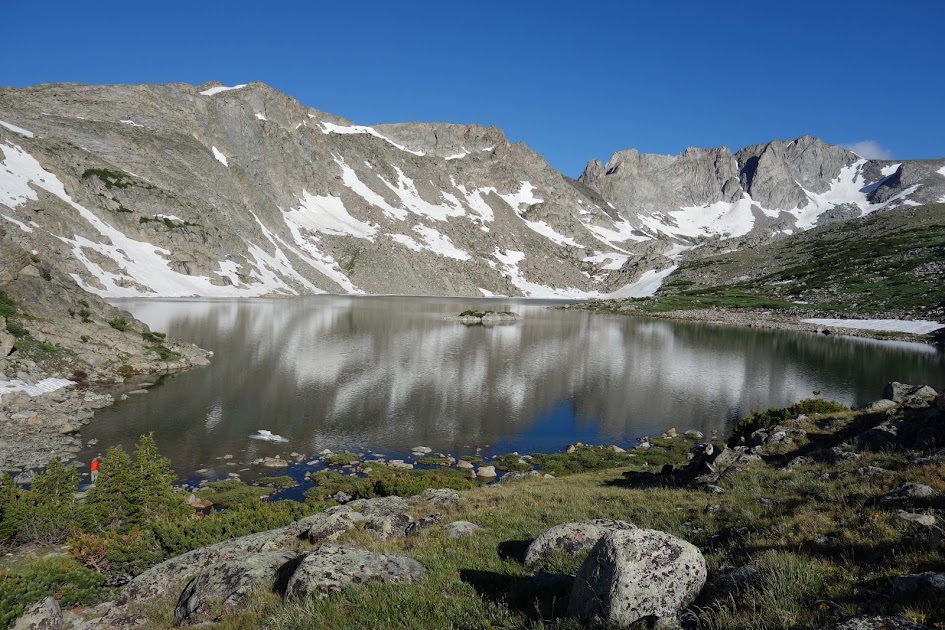
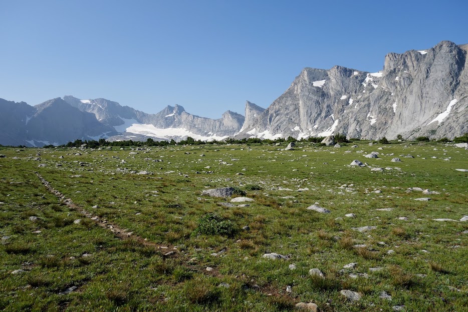
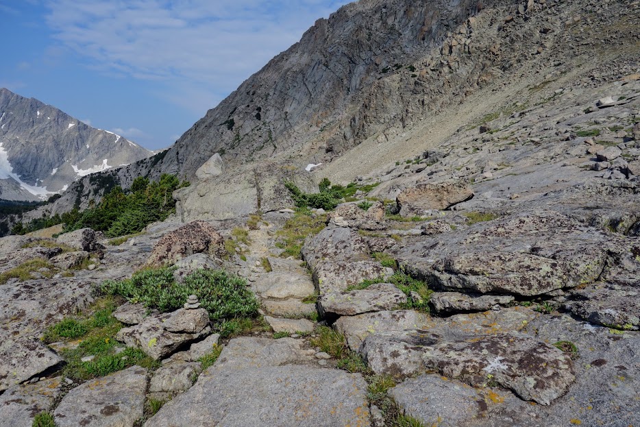
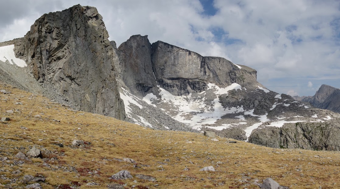
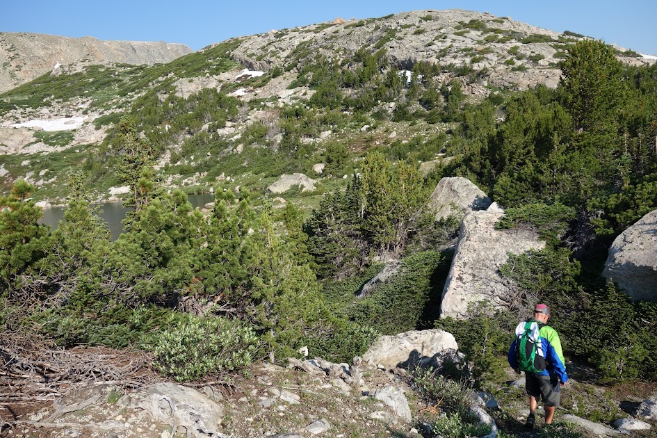
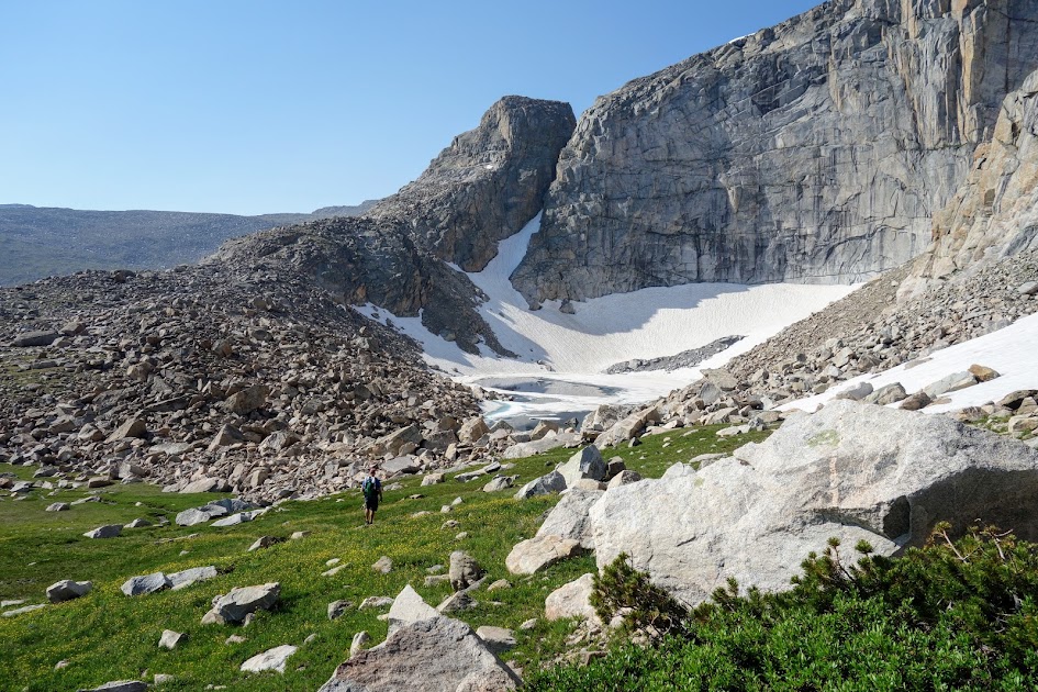
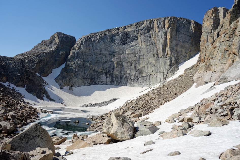
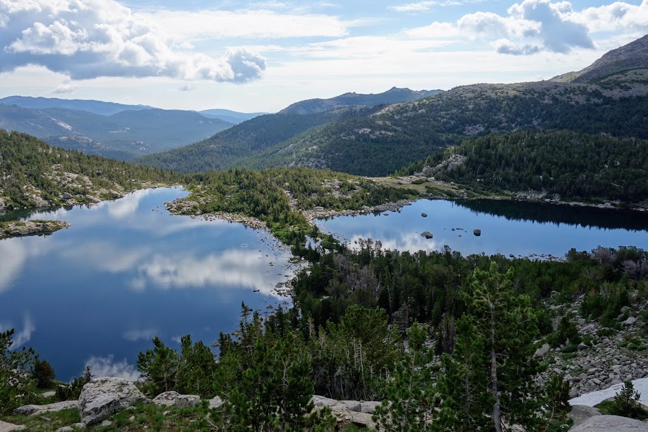
We hiked cross country in search of Coon Lake. 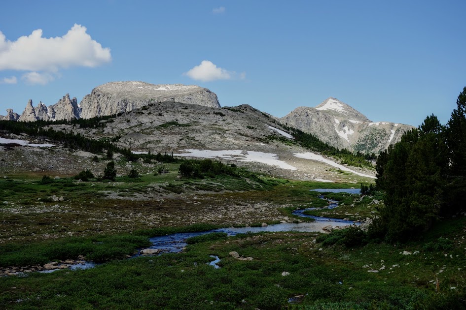

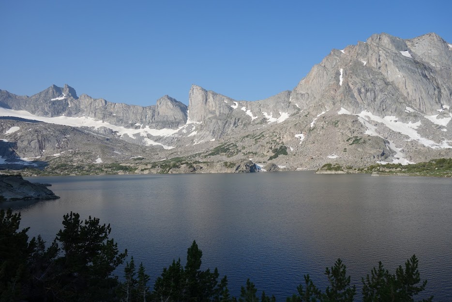
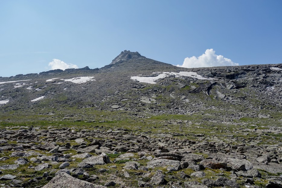
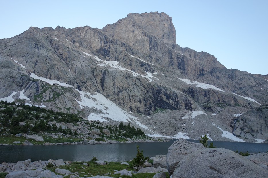
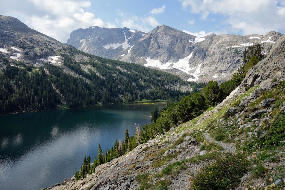
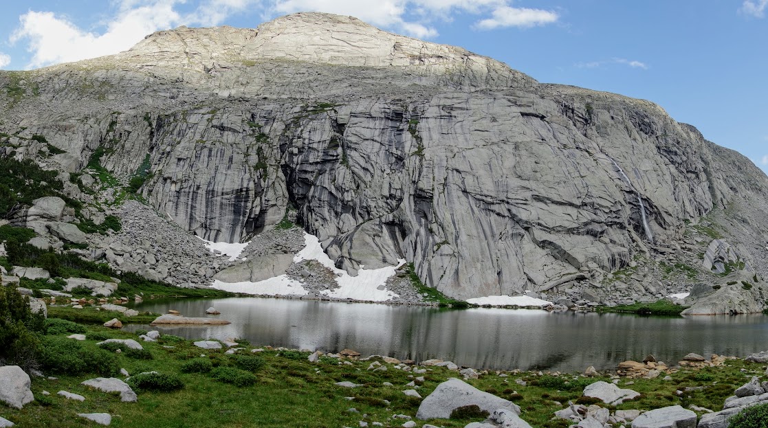
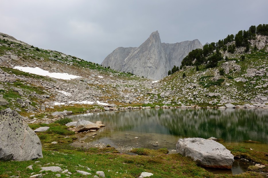
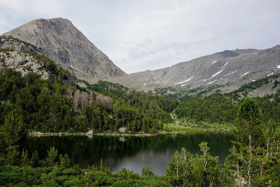
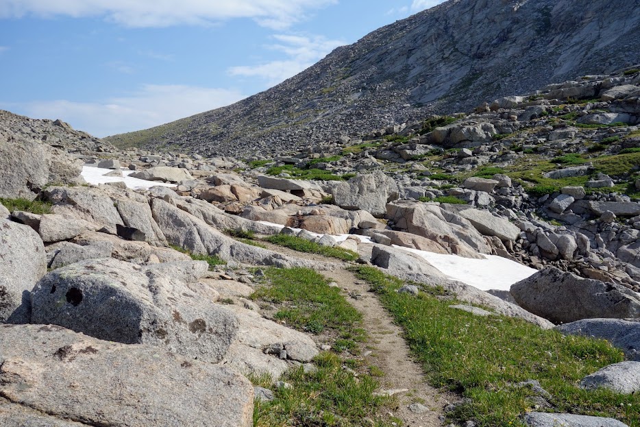
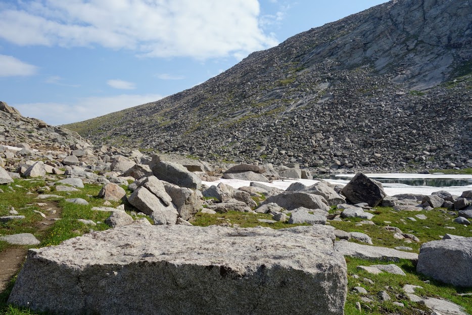
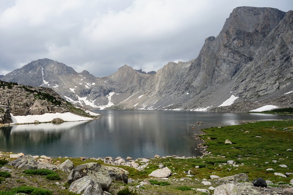
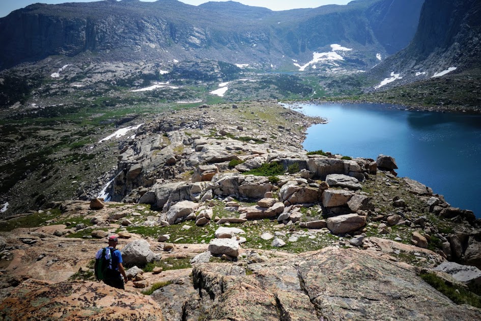
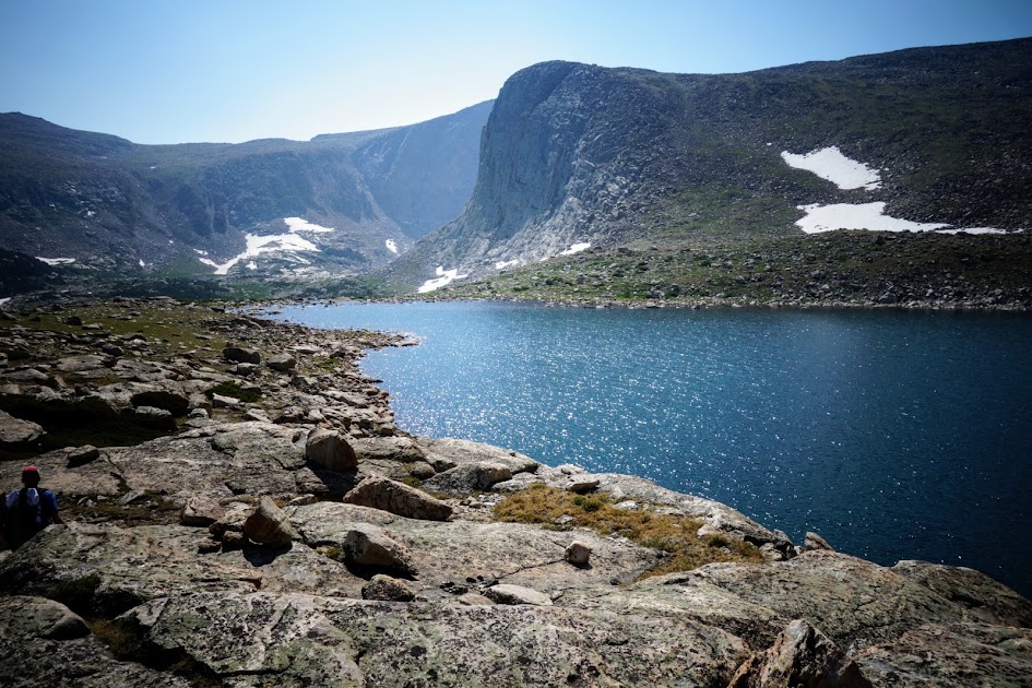
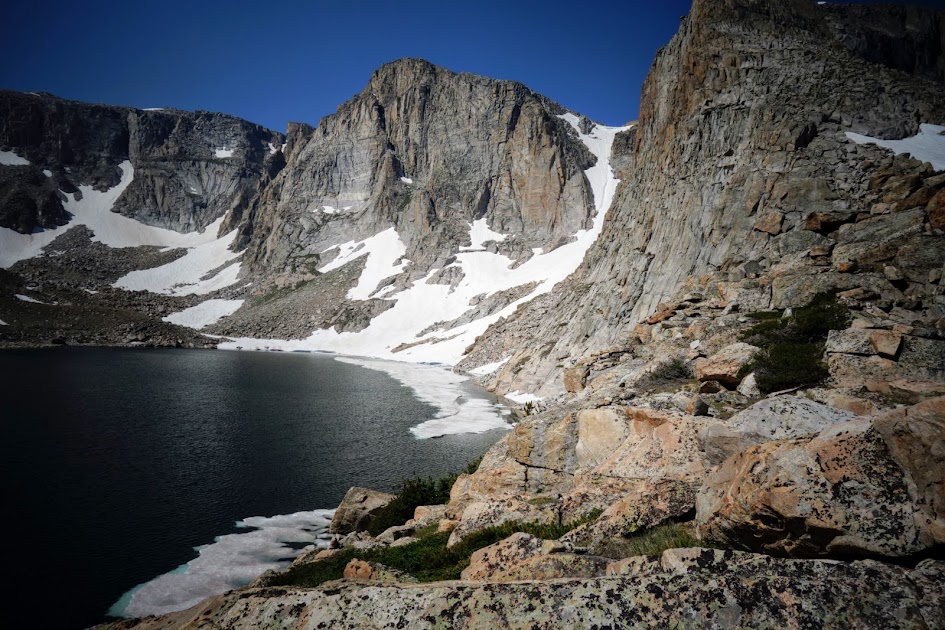
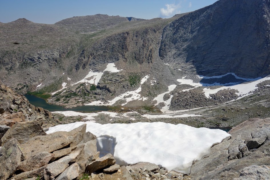
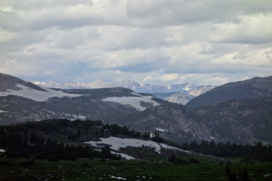
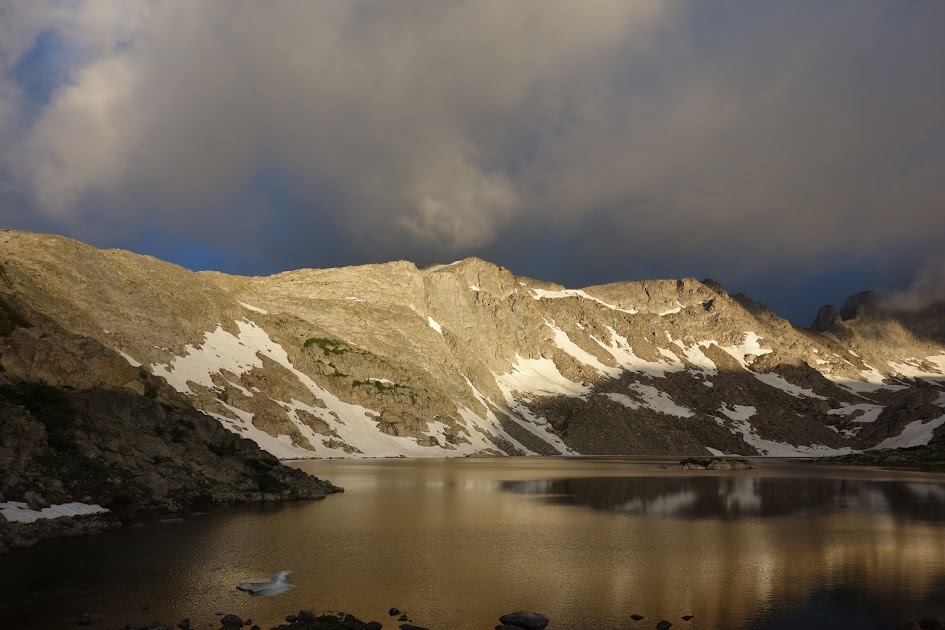
From Coon Lake we hiked to Mountain Sheep Lake.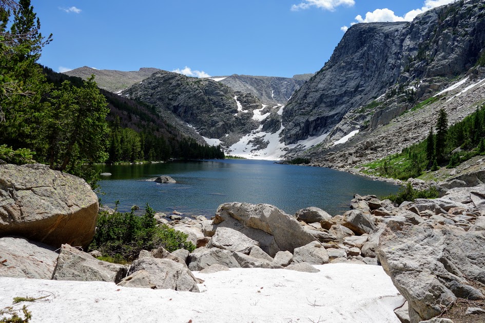
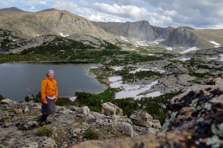
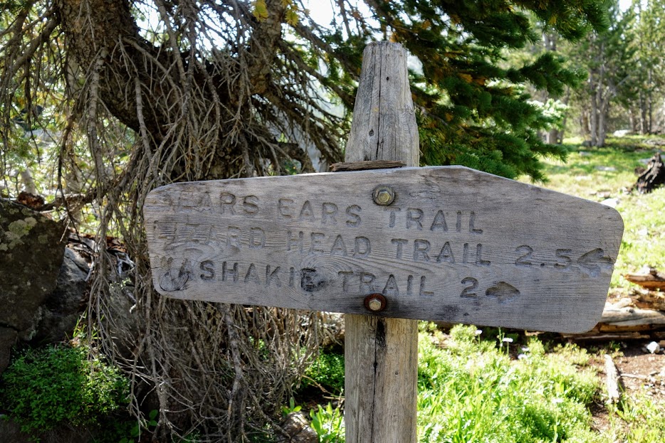
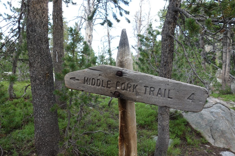
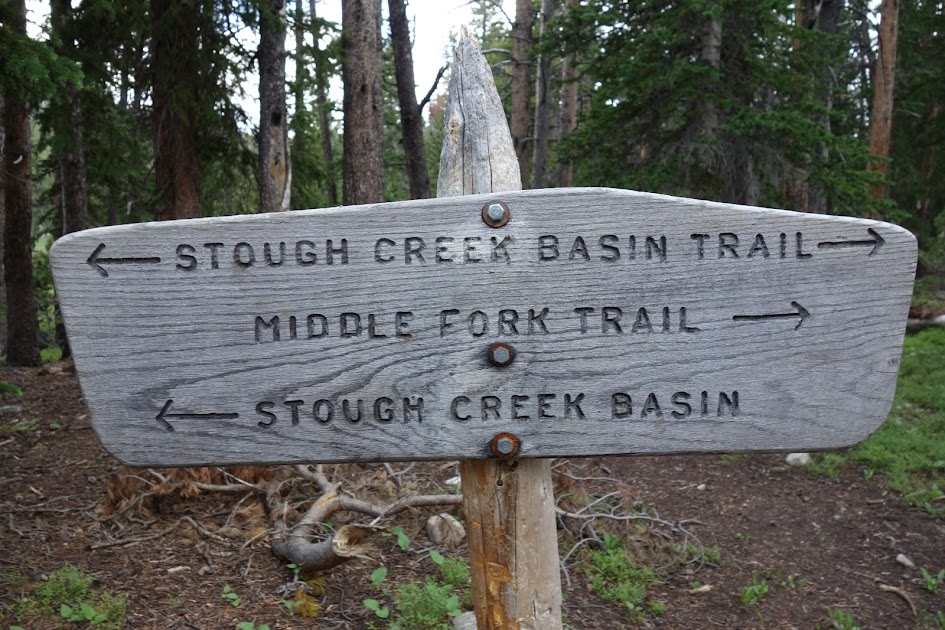
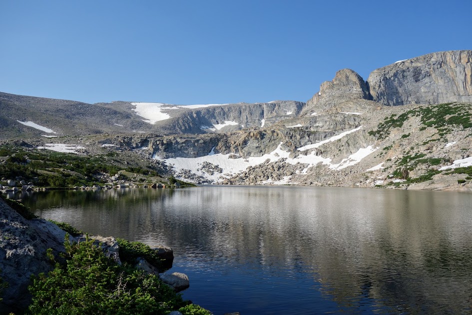
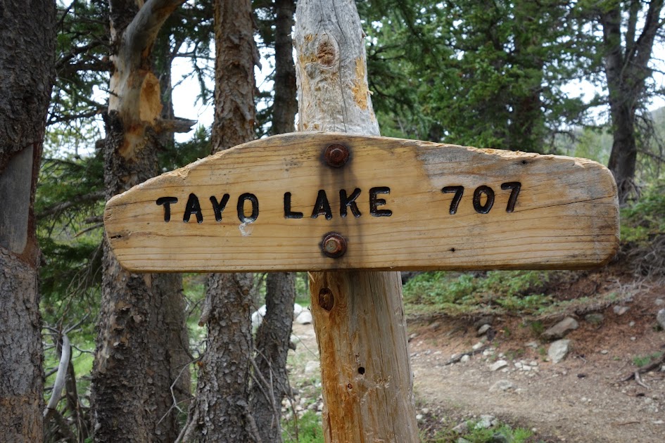
Back at the Ice Lakes/Tayo Lake junction, it was time to say goodbye to my new friend Bill. He was headed north, while I began the eastern trek to hopefully complete my counterclockwise loop. 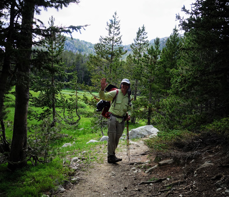
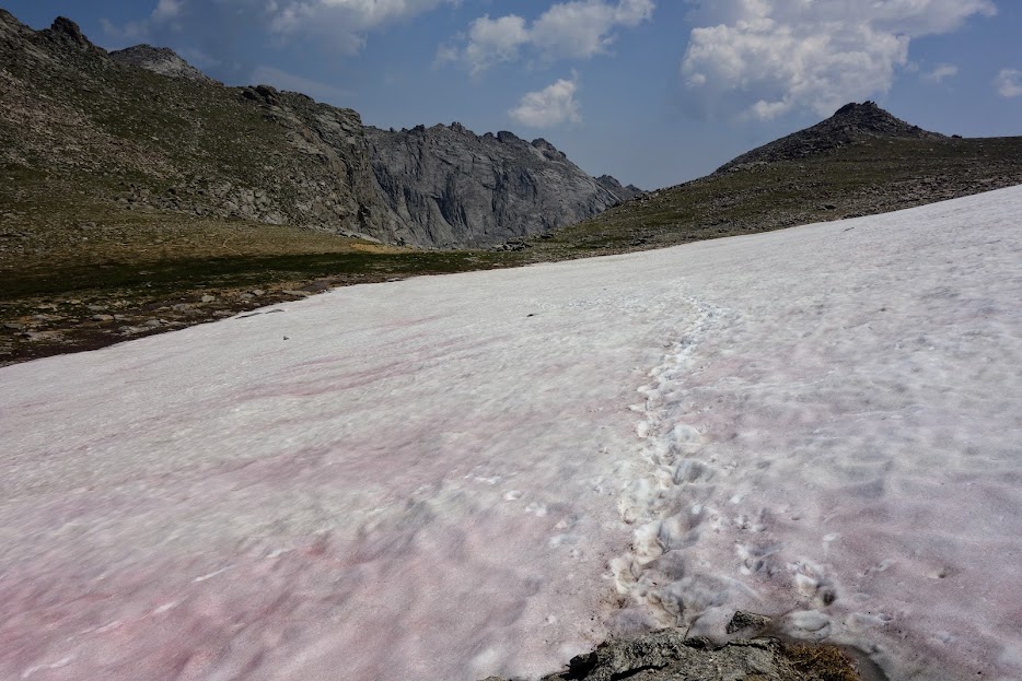
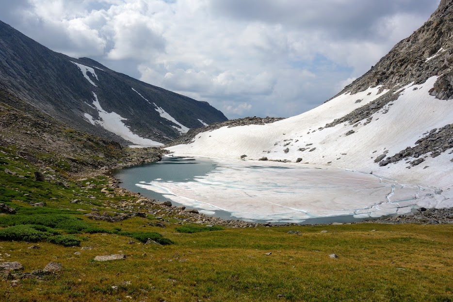
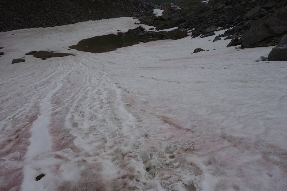
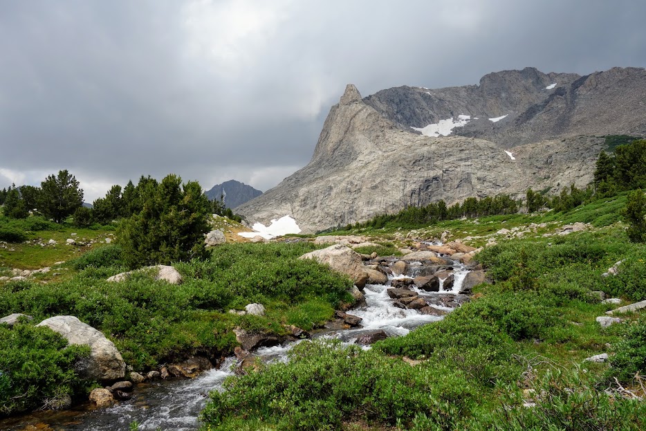
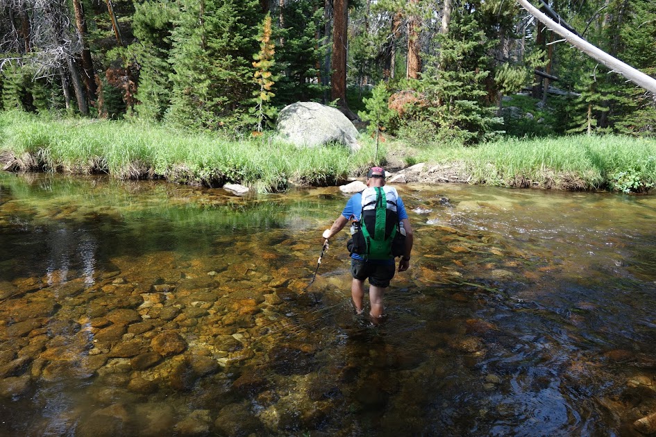
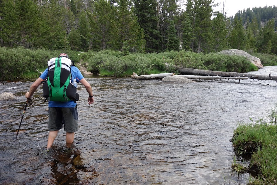
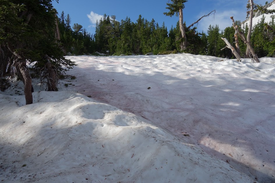
Based on beta, crossing the Middle Fork of Popo Agie River may be my turnaround point. I’d been told it could be too high, to look for braided waterways for safer crossing, but instead I found a wide slow shallow outlet. 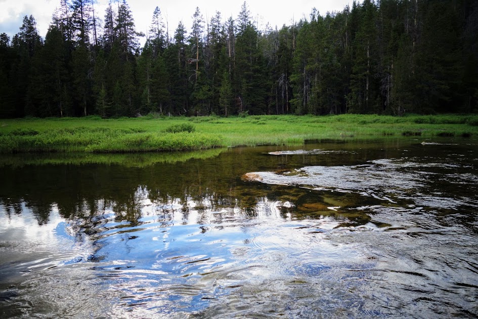
The worst part was wading through the 6-8′ stretches of muck on both edges of the outlet crossing. 
I’d been stressing about this crossing since the beginning of the trip. I was so glad to have it behind me, avoiding a dreaded reverse course. 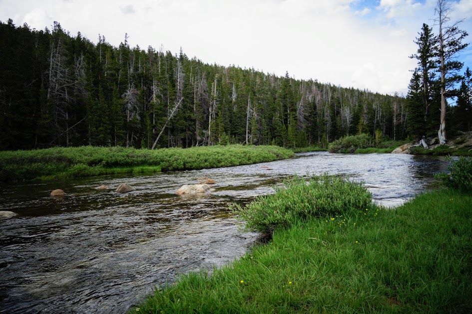
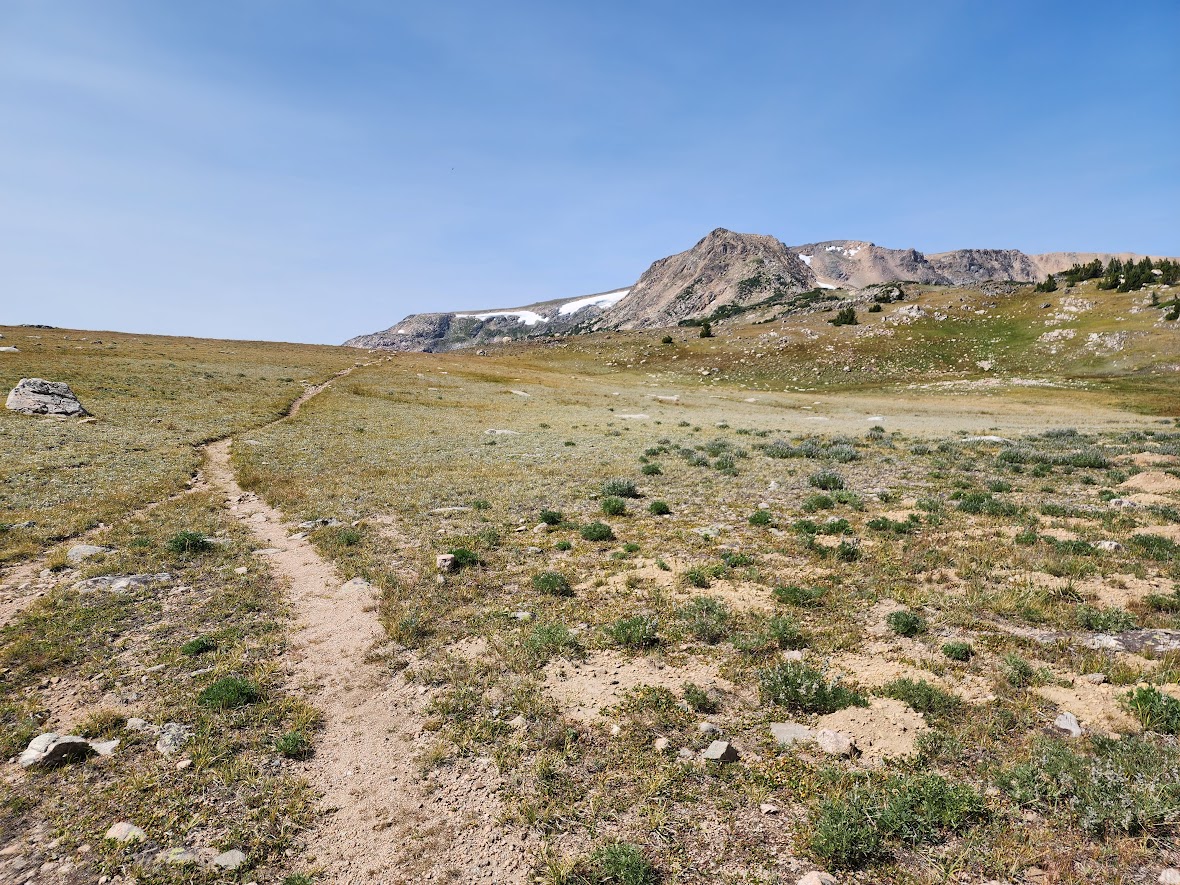
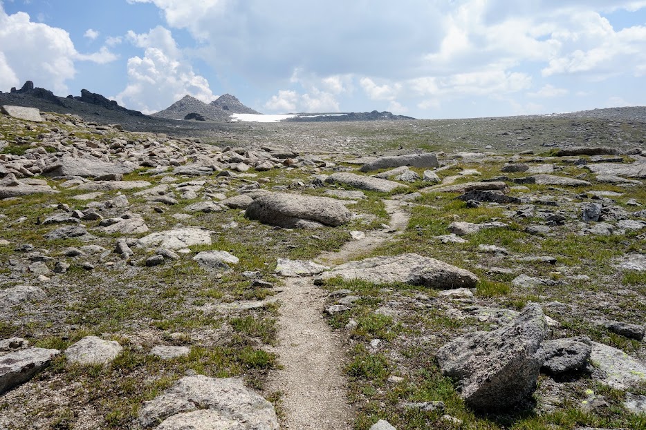
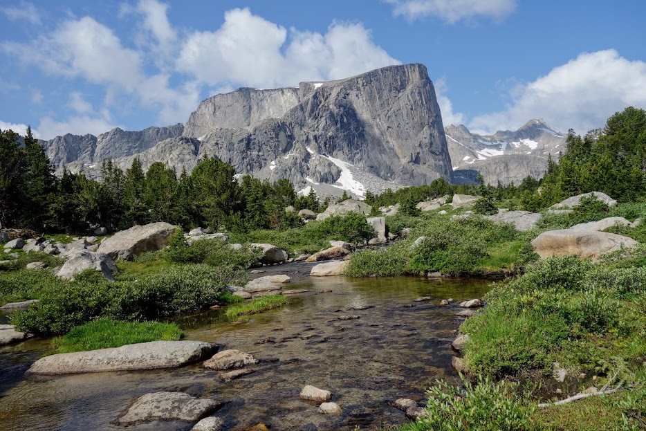
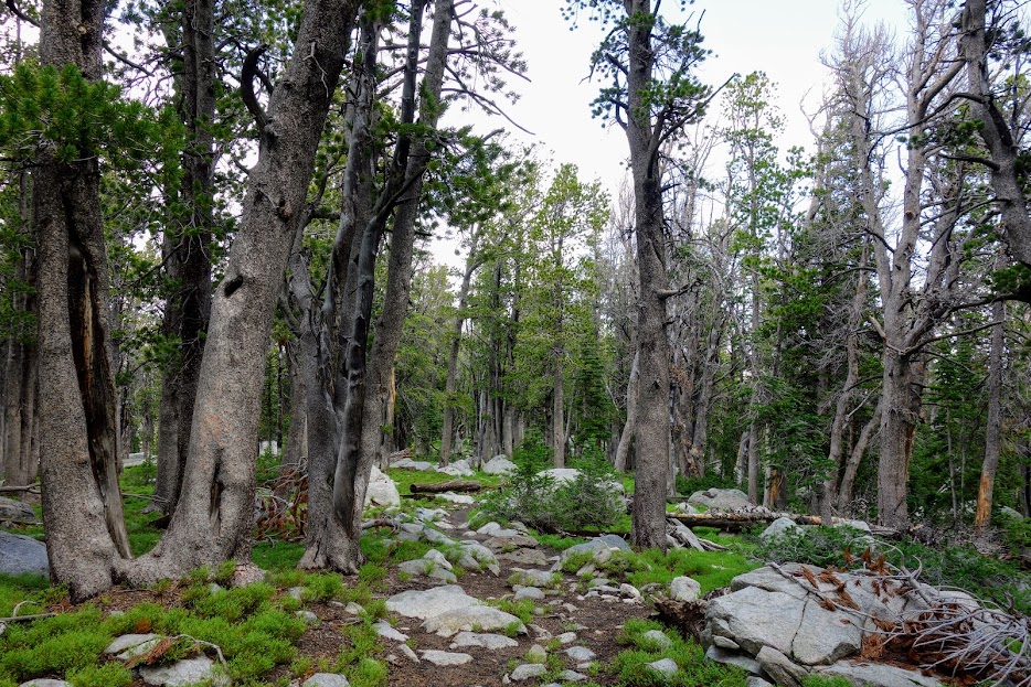
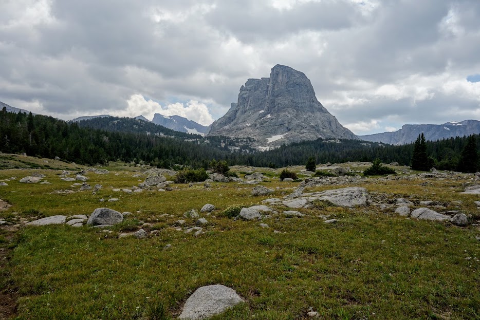
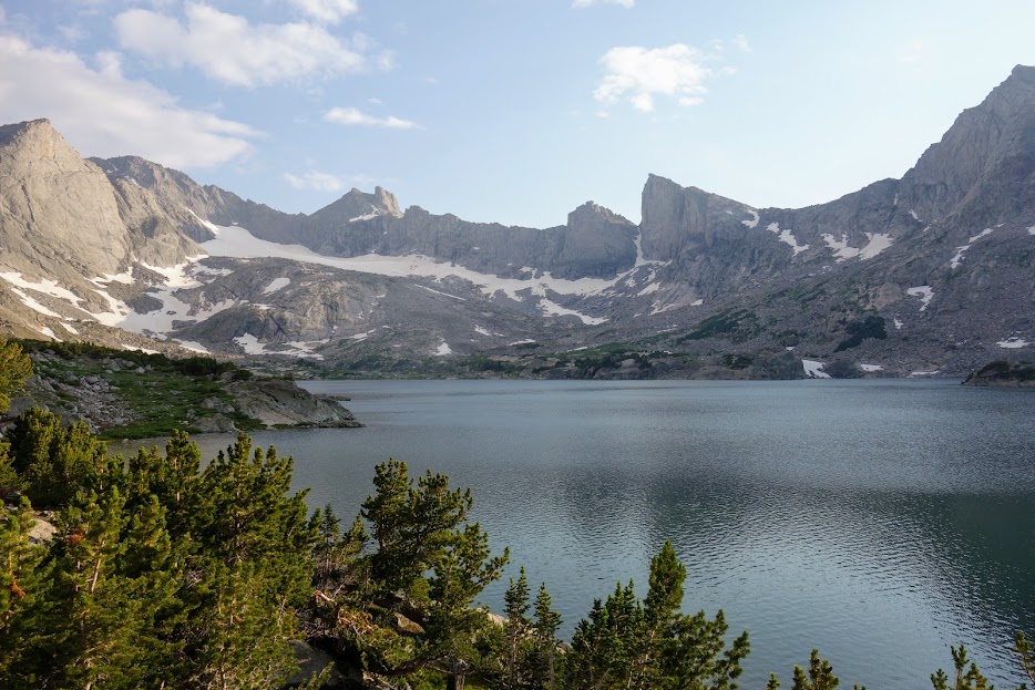
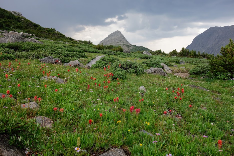
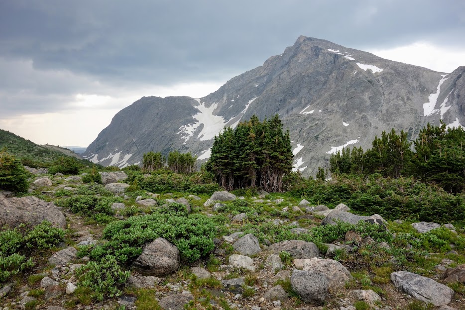
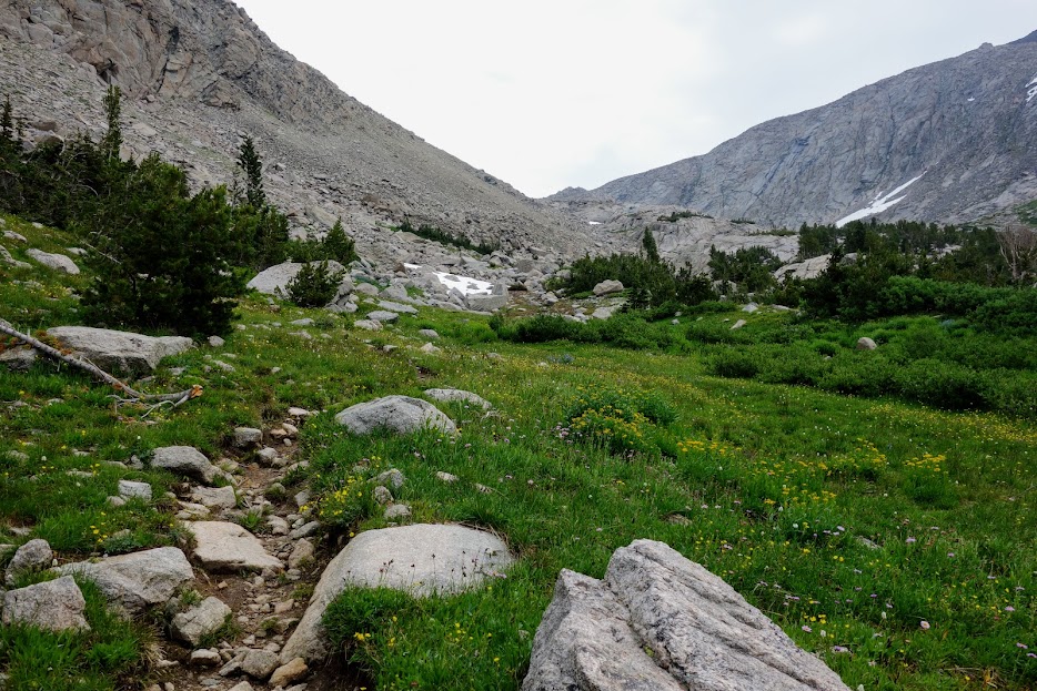
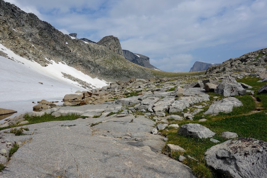
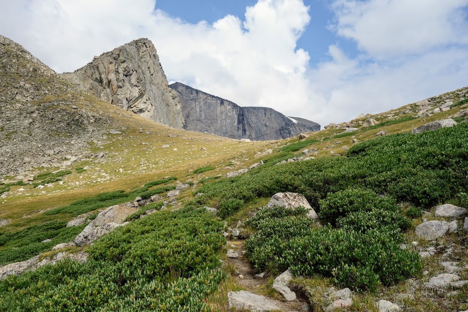
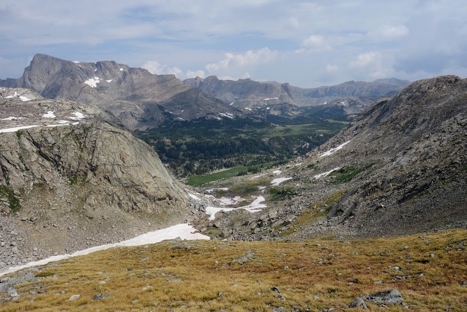
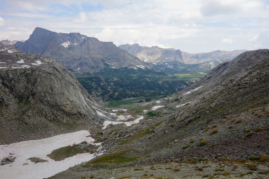
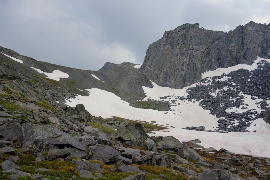
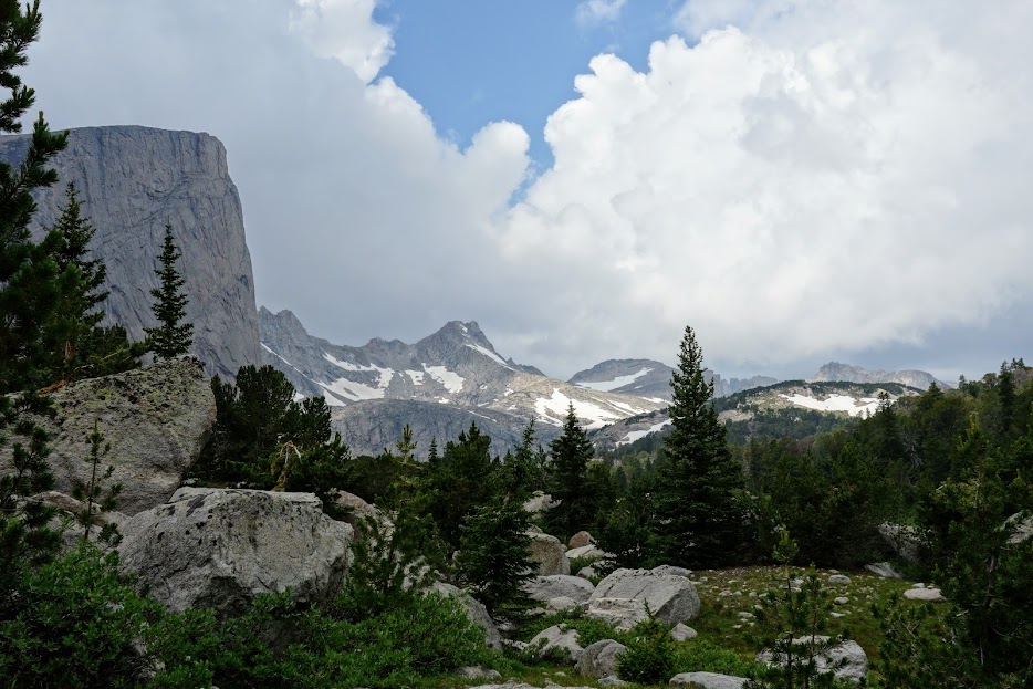
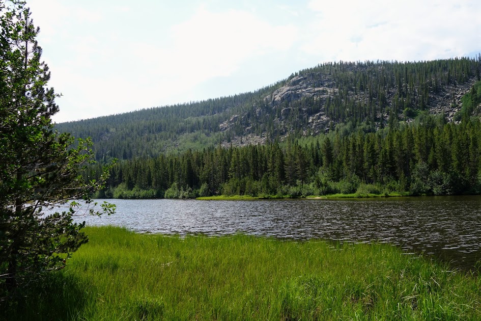
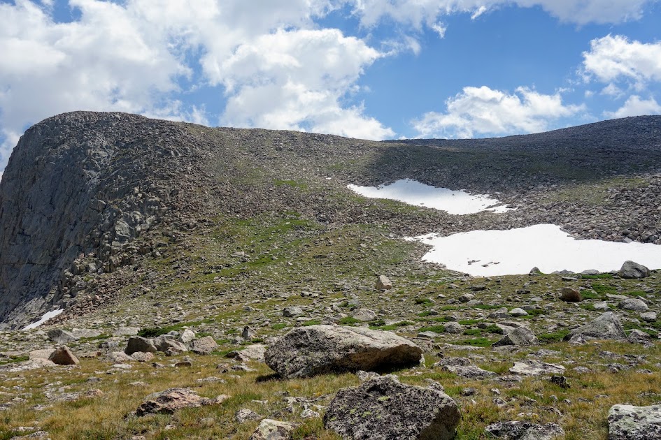
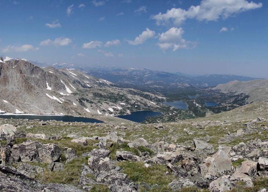
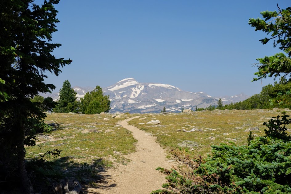
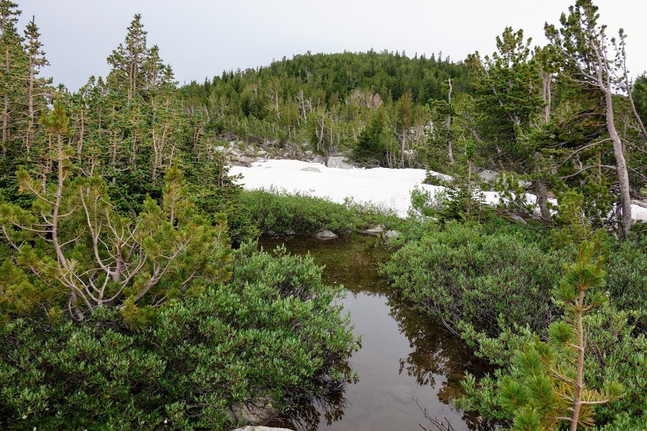
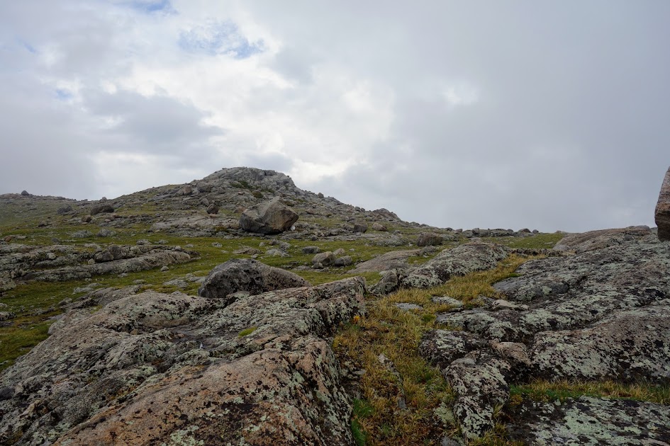
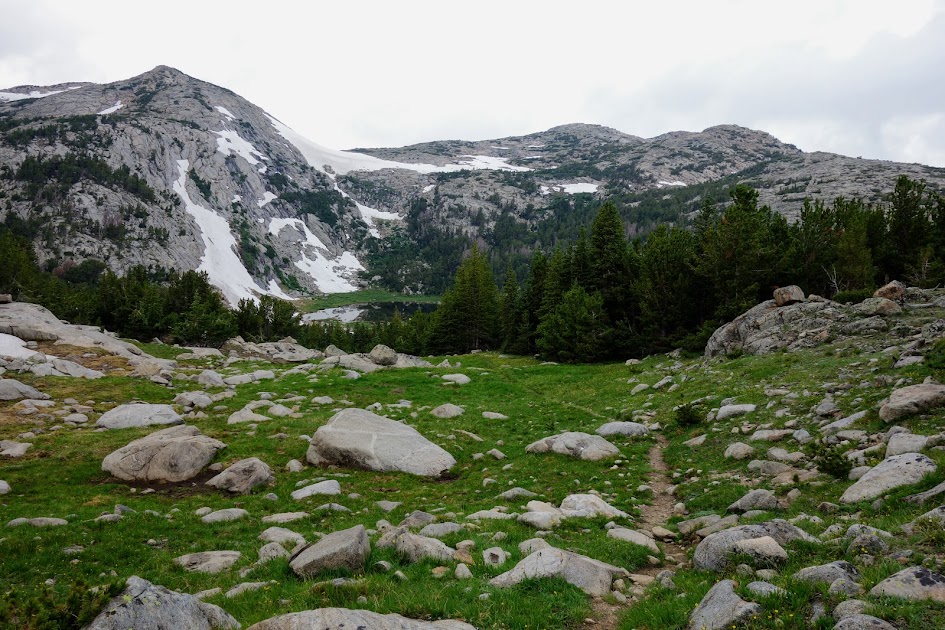
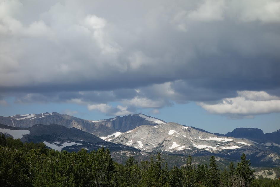
Tayo Park. I passed through many of these meadow or green belt areas and sadly didn’t seen any big wildlife. 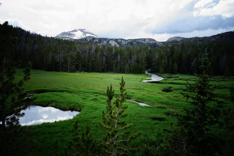
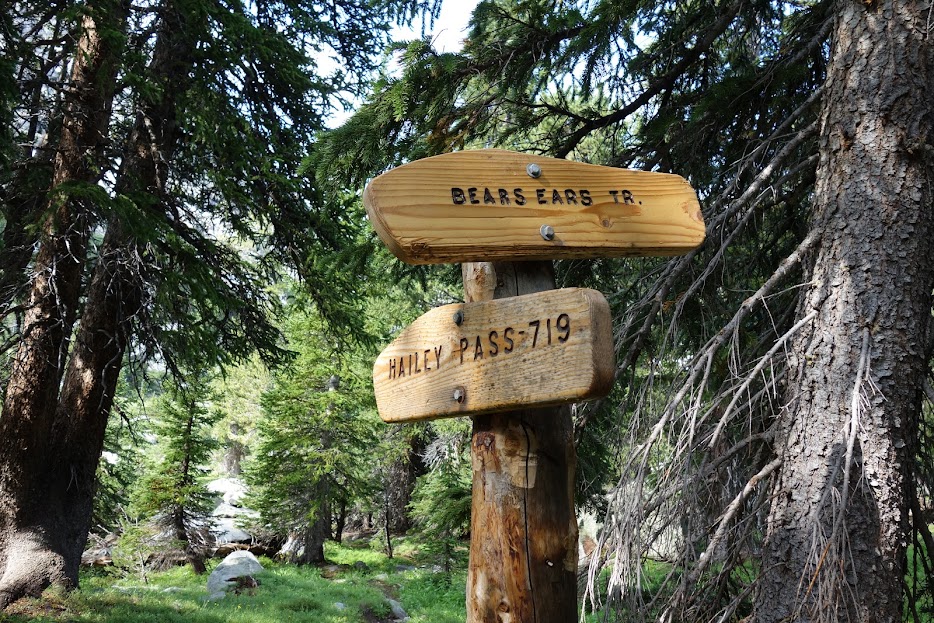
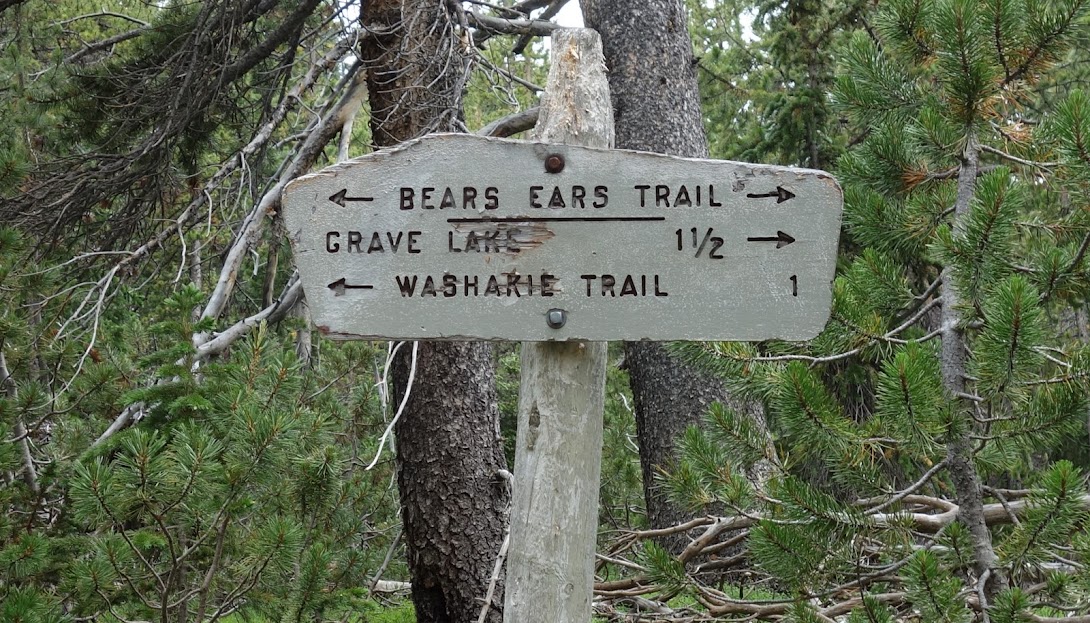
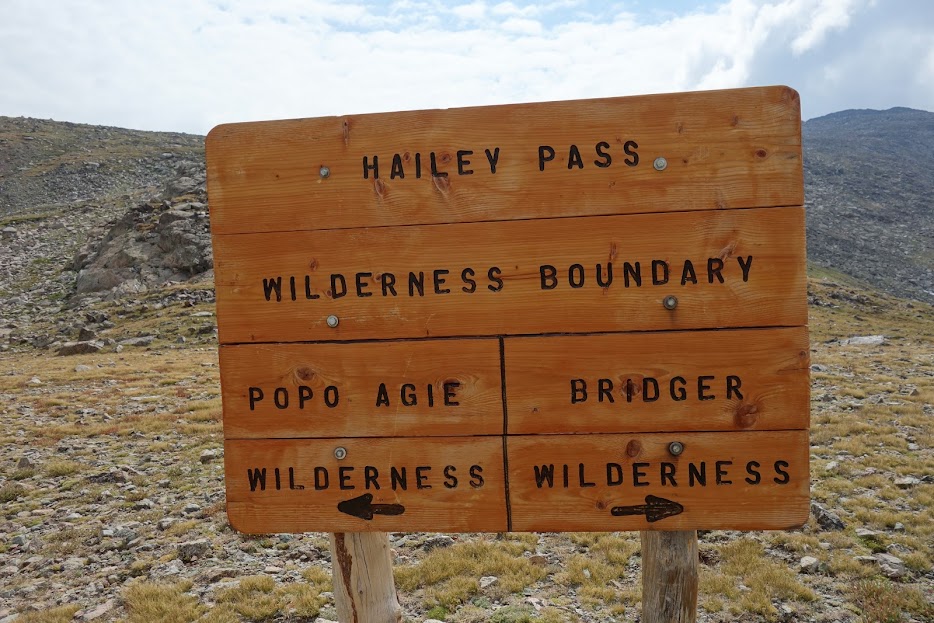
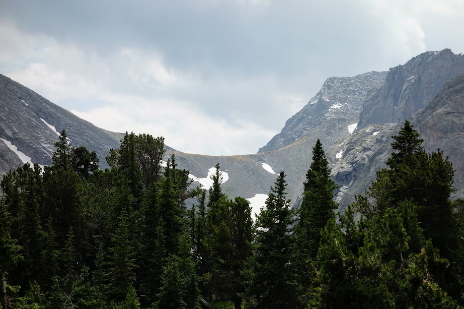
I’d asked Bill about Sweetwater Gap and he said it wasn’t memorable, so I’d planned to skip this short out and back. It was getting late and I was thinking it was about time to find camp. 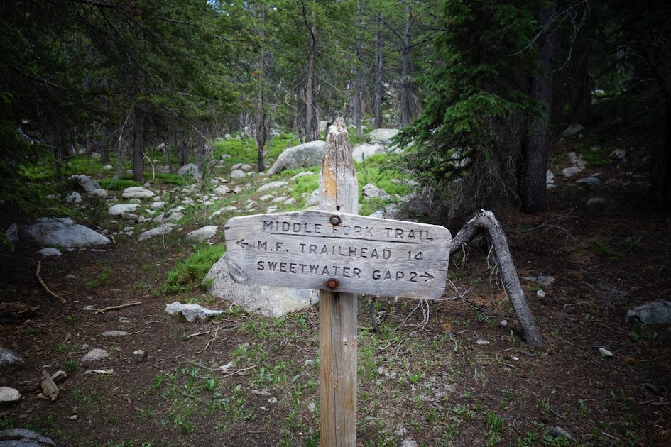
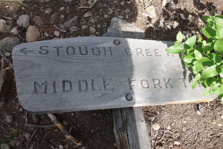
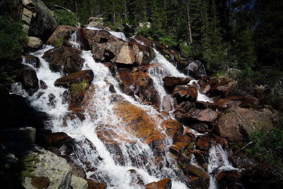
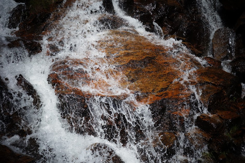
I didn’t consult my map and for some reason thought I was supposed to take the Sweetwater Gap Trail #700 to connect with Stough Creek Lakes Trail #702. Along the way I heard crashing water and just had to go off trail to find this waterfall. Maybe this was why I was destined to take this trail?
Looks like Yogi liked this trail also. 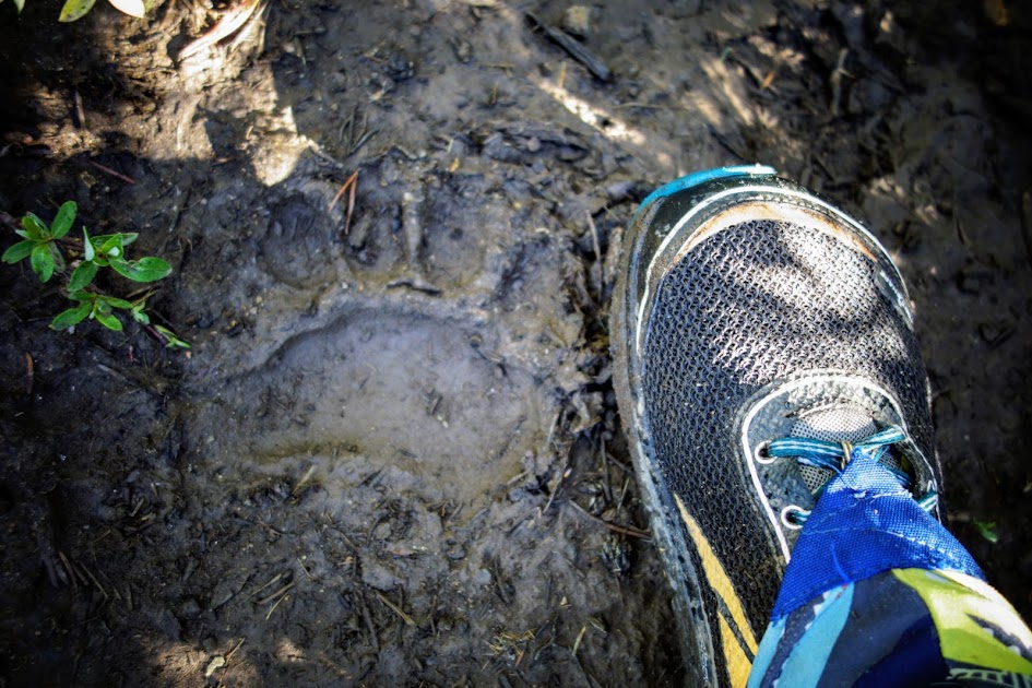
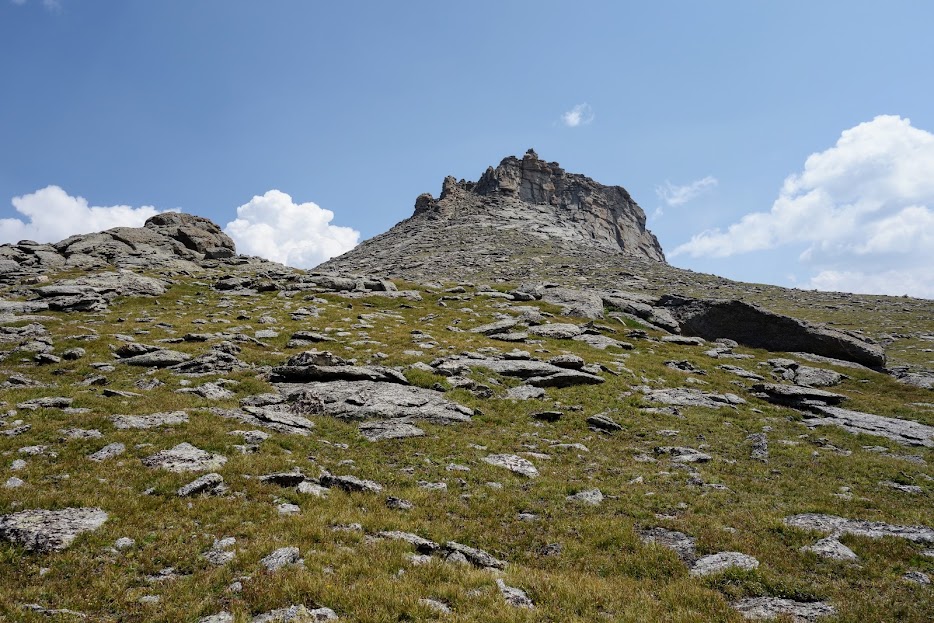
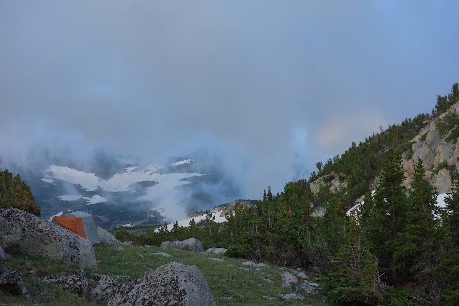
I found a nice campsite and the next morning continued upward to the gap. 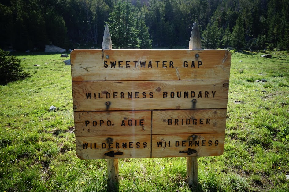
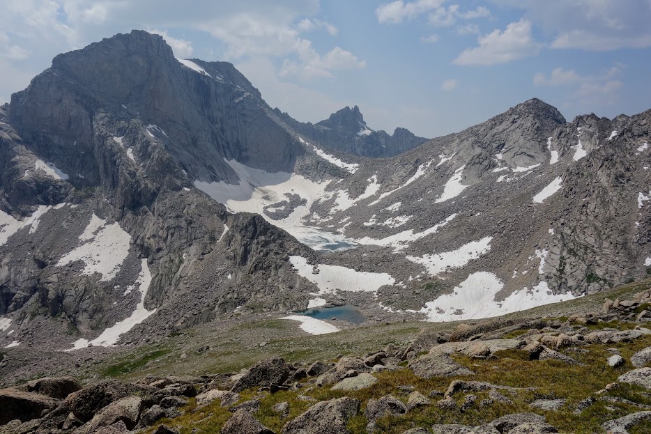
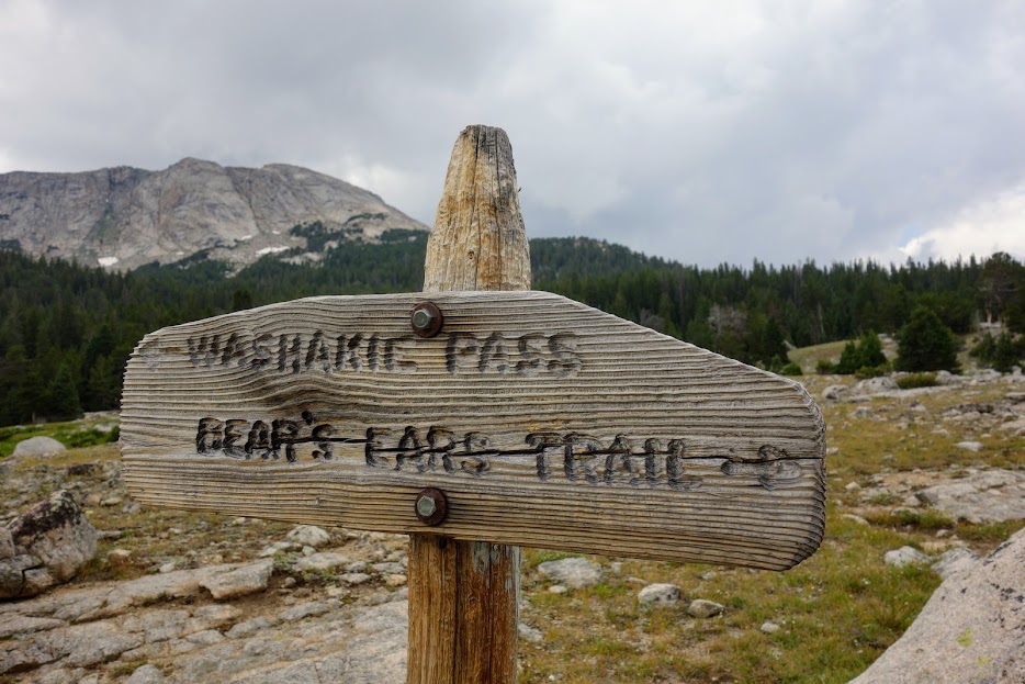
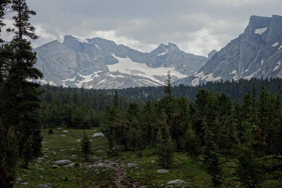
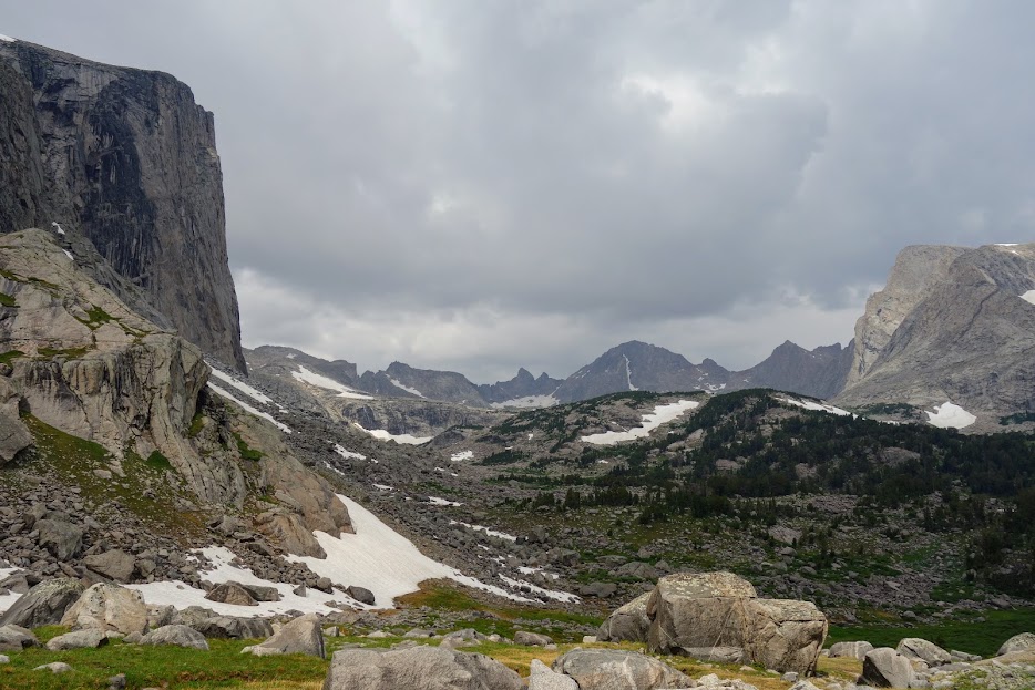
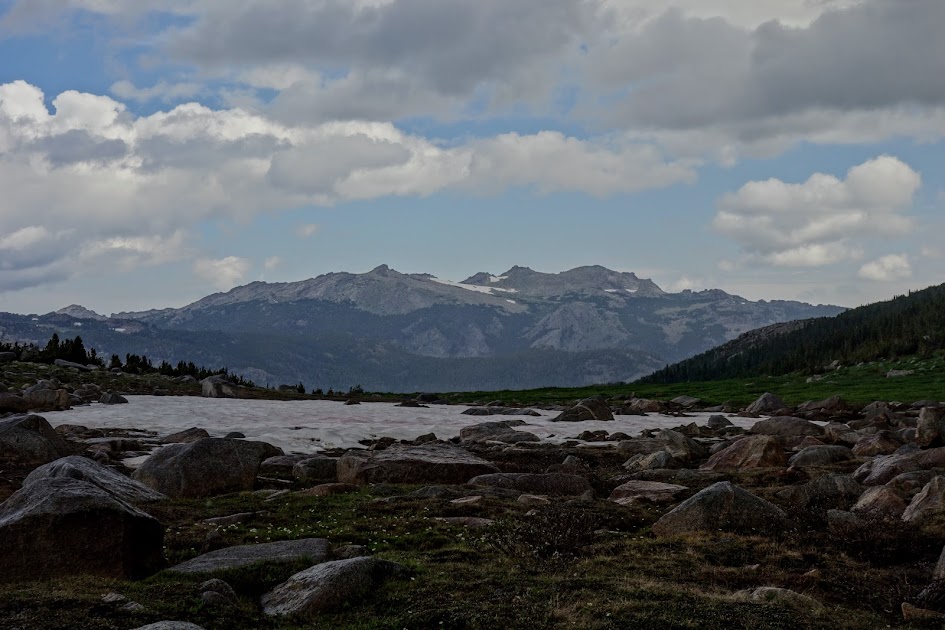
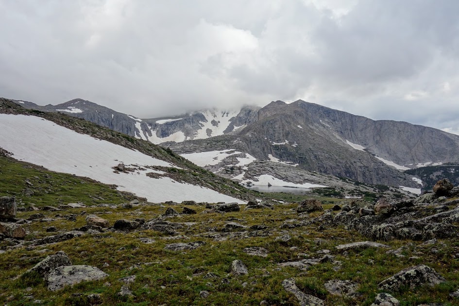
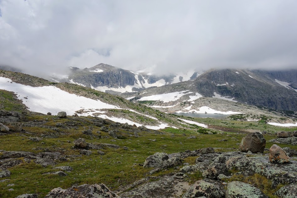
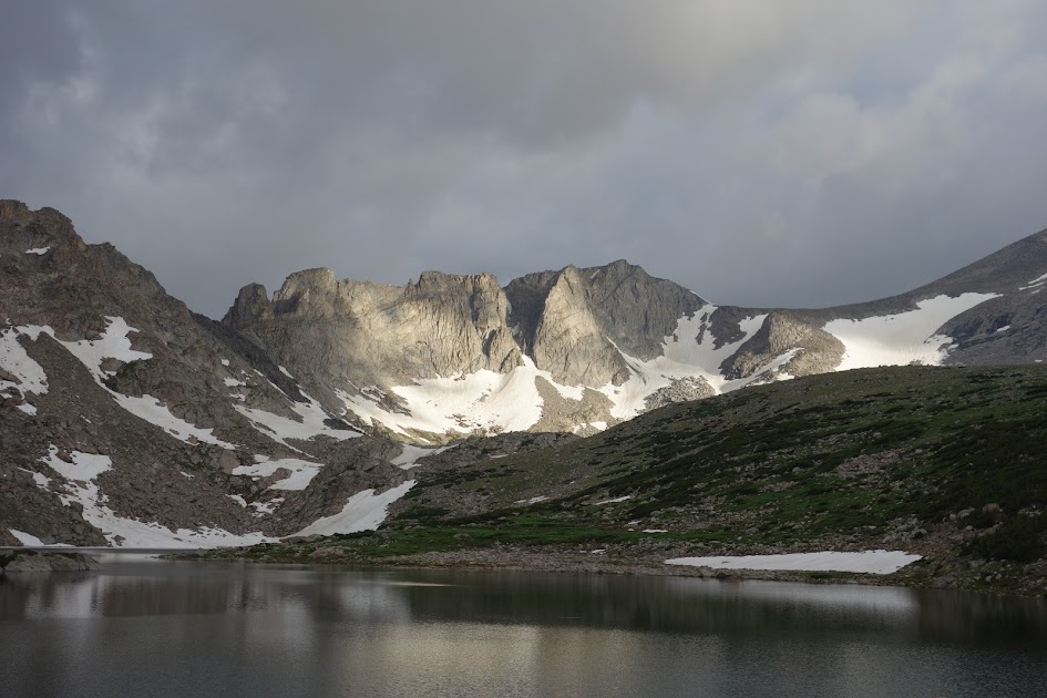
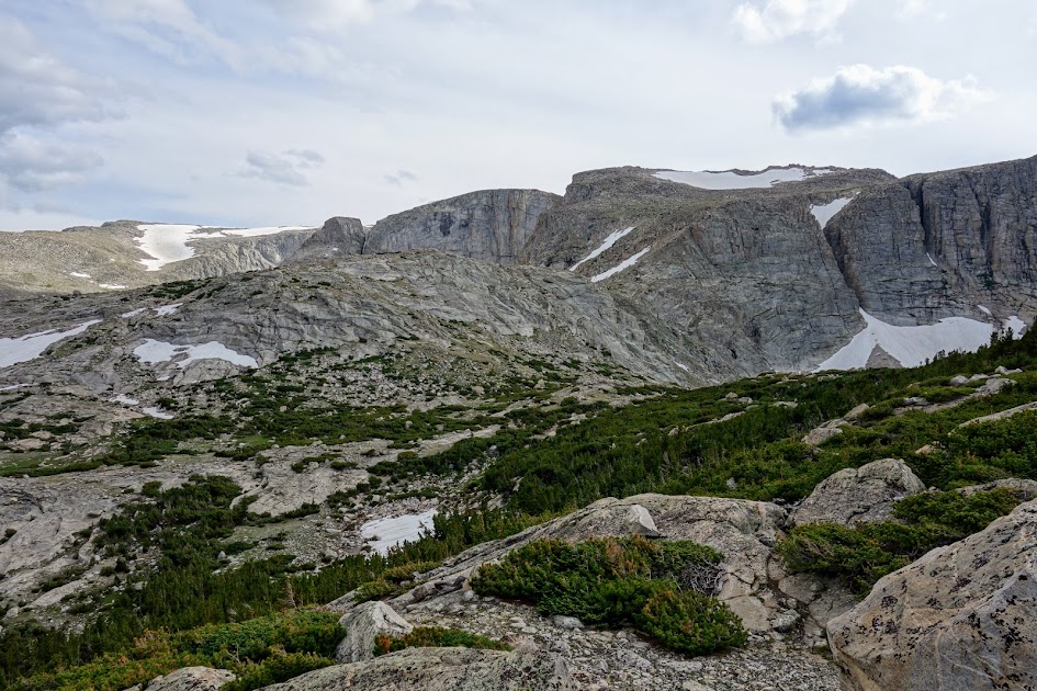
Bill was right, nothing too memorable. Looking south into Bridger Wilderness.
Looking north into Popo Agie Wilderness. 
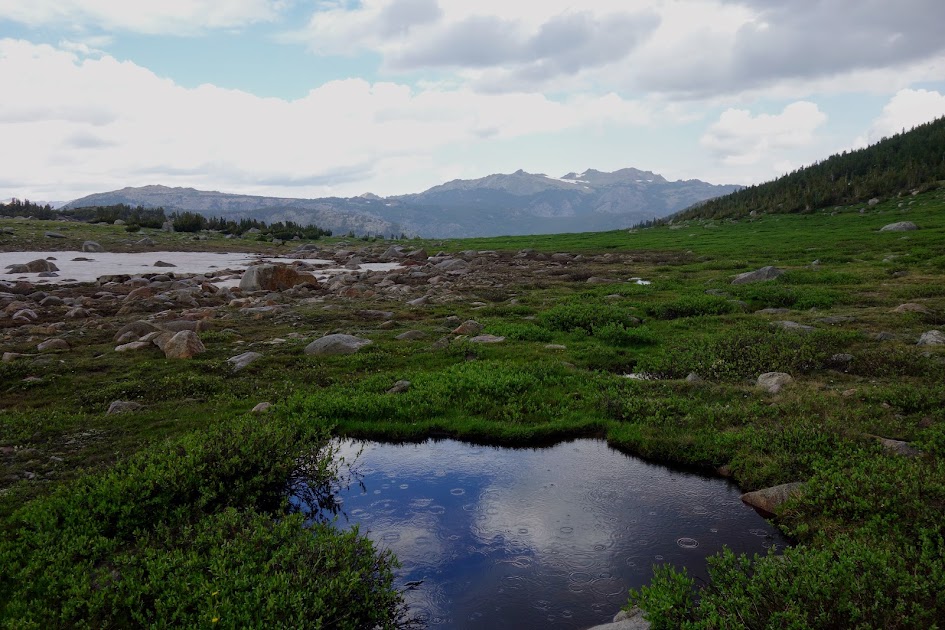
The Sweetwater Gap Trail, as well as the Stough Creek Lakes Trail were used frequently by livestock thus they were quite mucked up. 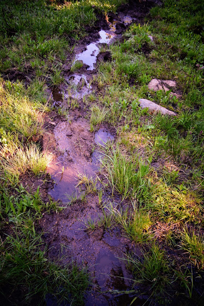
I stopped at the waterfall again to enjoy them in much better light. 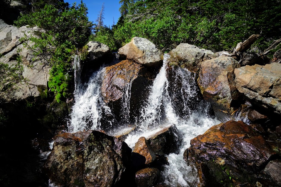
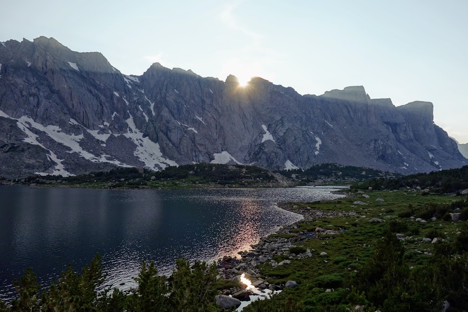
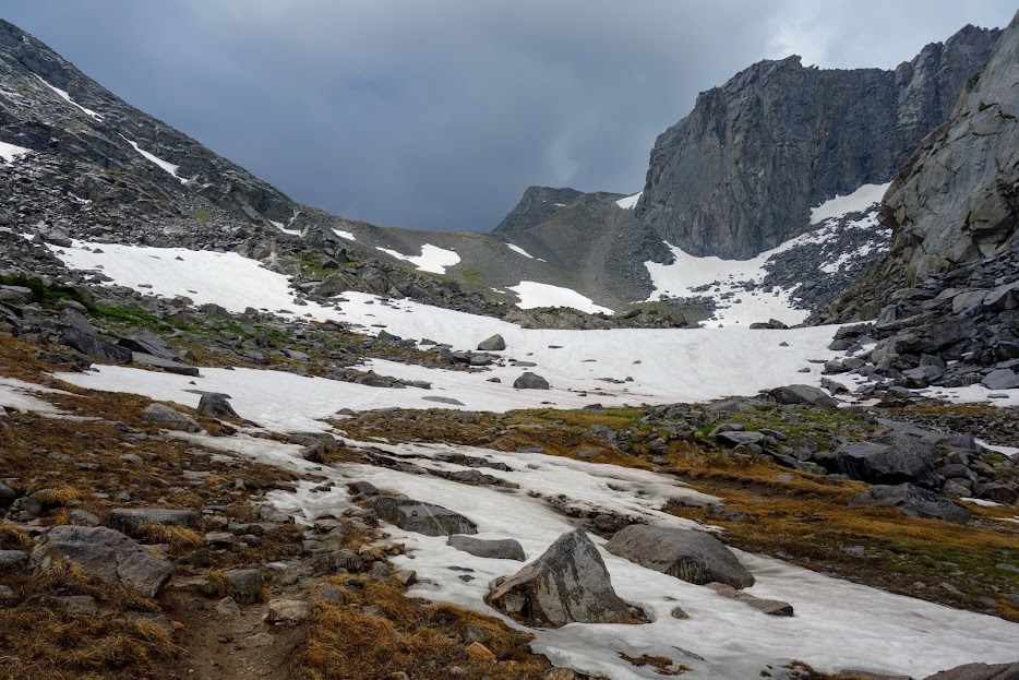
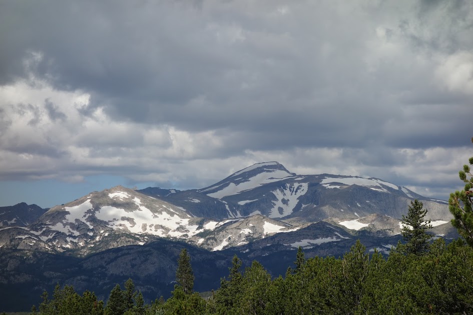
Back at Tayo Park, still no wildlife. 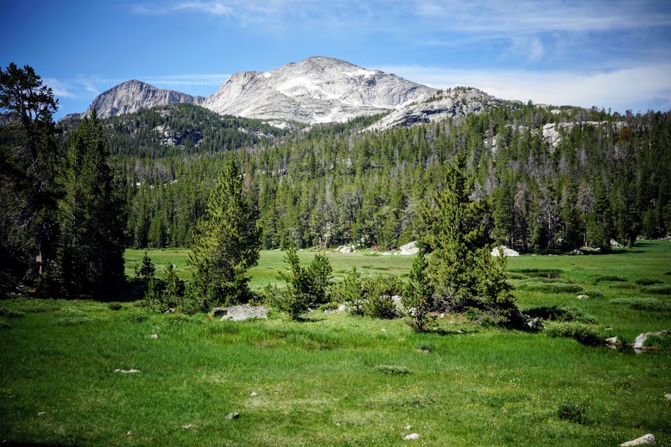
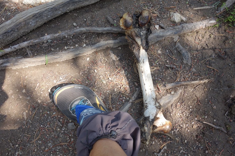
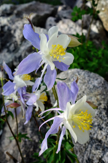
Cool find along the way. 
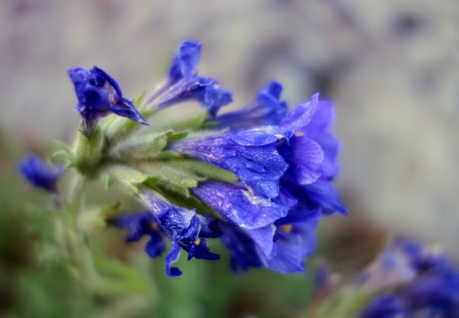
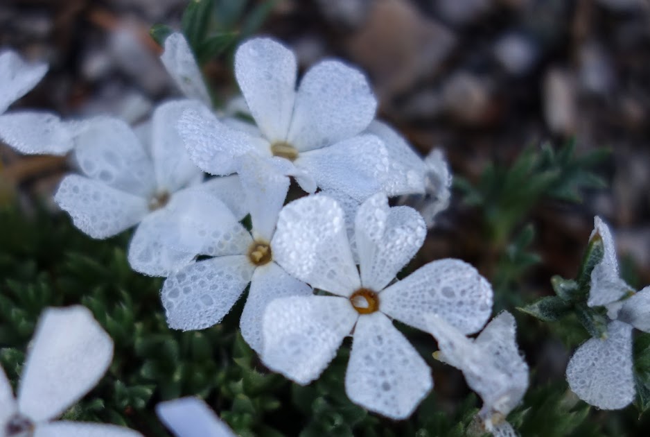
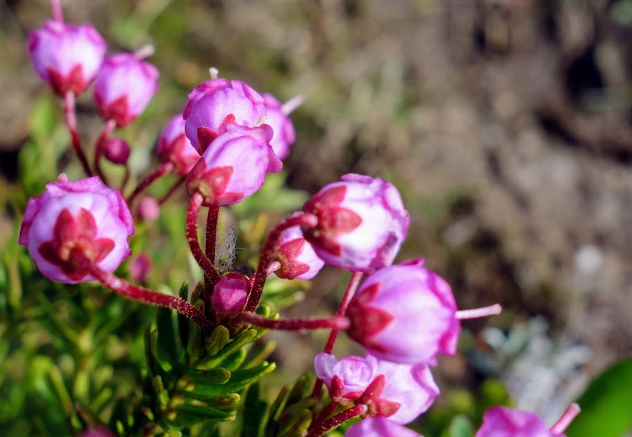
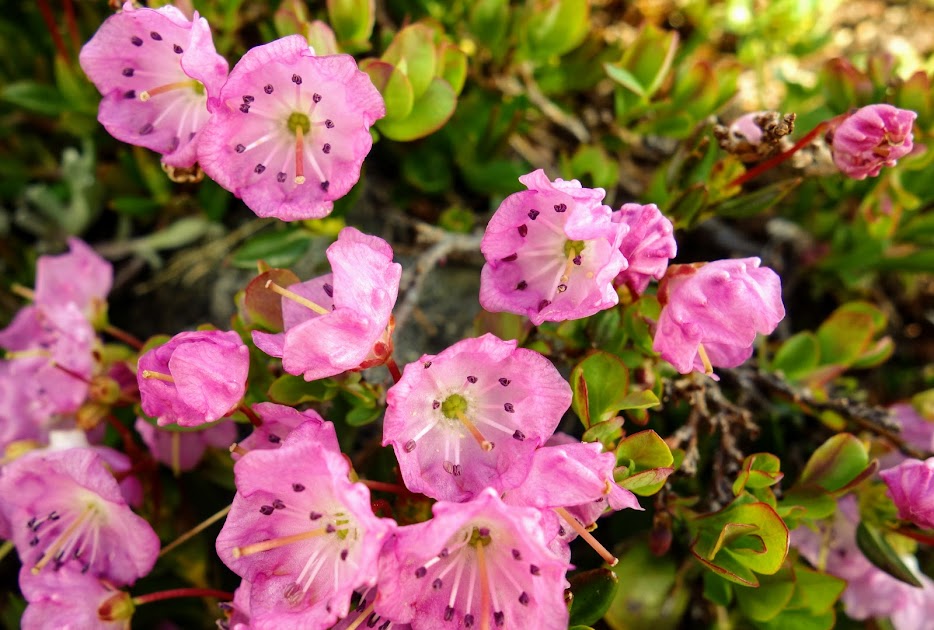
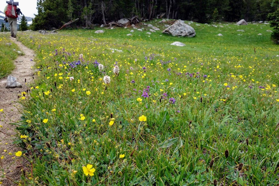
I love finding the little pops of color. 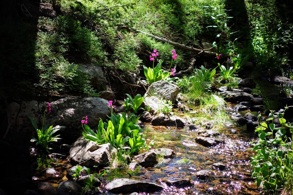
Heading back into open grazing area. 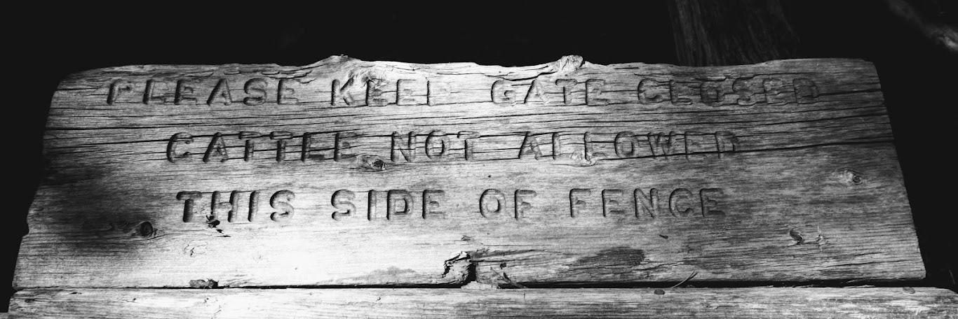
I wasn’t really convinced this sloppy x gate would do a very good job keeping the cows out, especially given the human element of placing the log back in the correct position. 
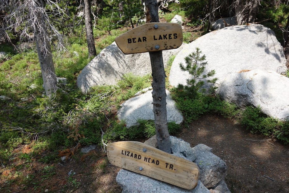
I was on the final stretch to close the counterclockwise loop as I stepped onto the Stough Creek Lakes Trail #702. 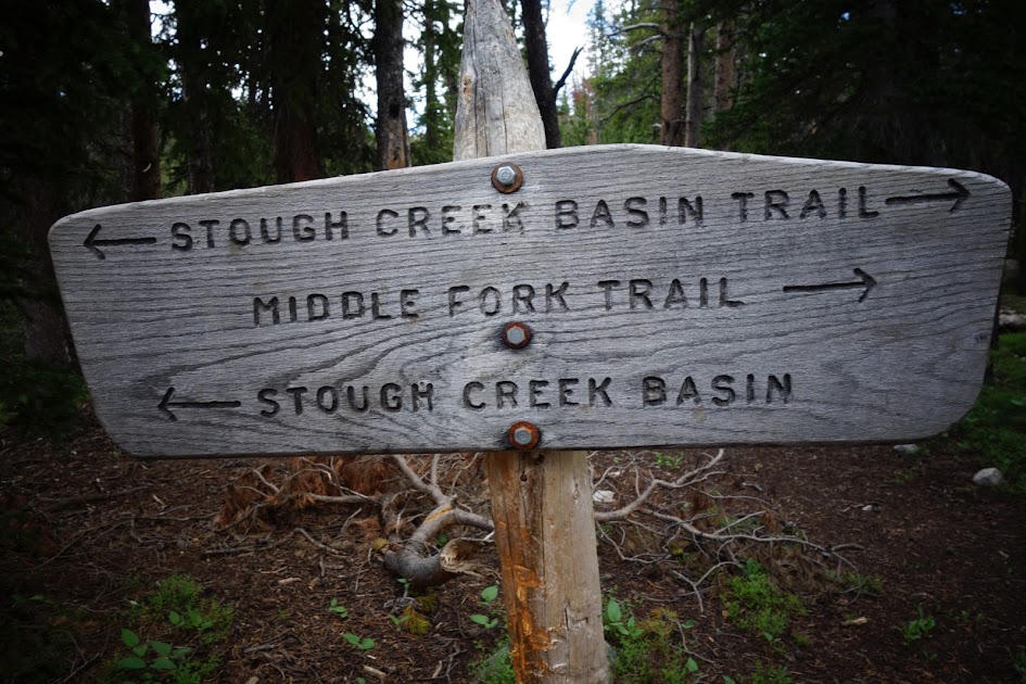
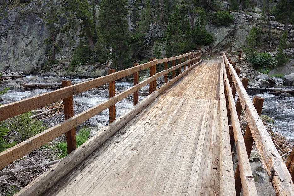
I love bridges and am thankful everytime I find one over waterways or marshy areas. Thank you again trail builders and maintenance crews. 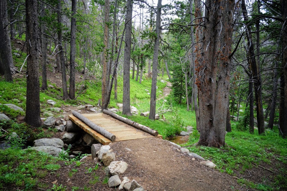
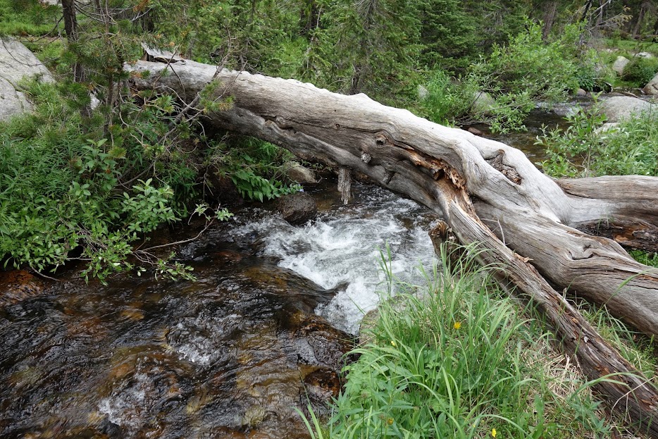
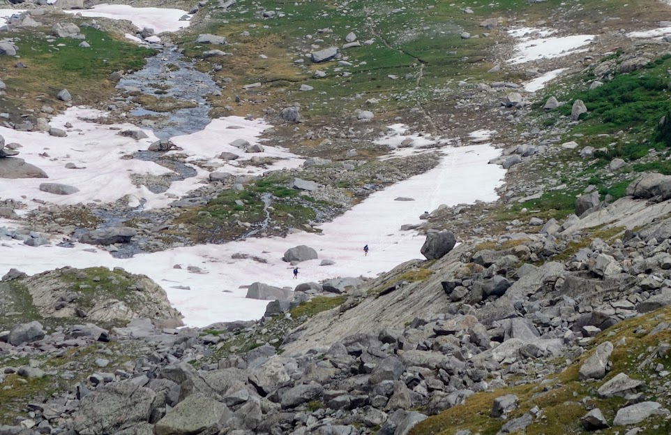
When there isn’t a bridge, water crossings look like this. If you look around you might find a log, such as this one upstream, or rocks providing opportunities to keep your feet dry. 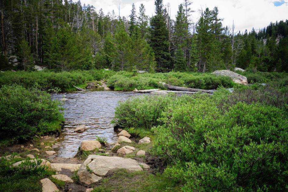
Over the years, I’ve become more proficient with log and rock crossings. For some reason today was not my day. I stood on the end of this log and felt slight vertigo. Instead of listening to my intuition, I took a second step, immediately loosing my balance and falling in. I twisted my knee in the process. Thankfully the water was shallow. I’ve never experienced vertigo on a log crossing before. It’s gonna take a while to rebuild confidence. I should have just walked through, afterall my feet were already wet. 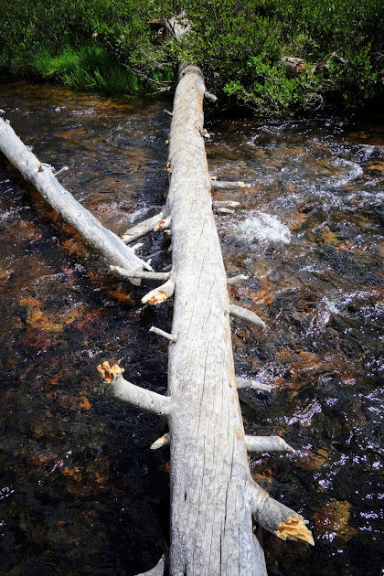
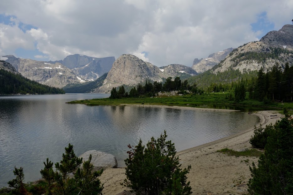
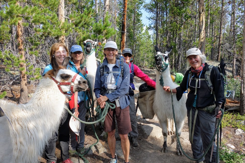
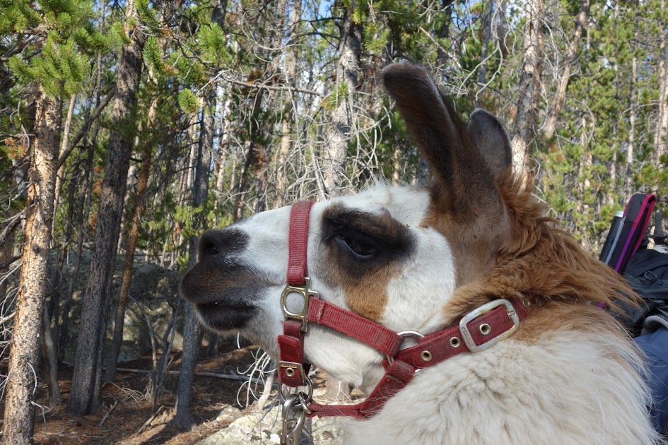
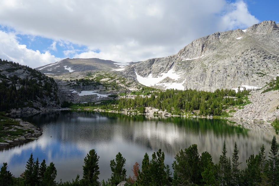
I arrived at Big Stough Lake to find these llamas. Later I met the five gals who used them as pack animals. Convenient yes, but they sure mucked up the trails. 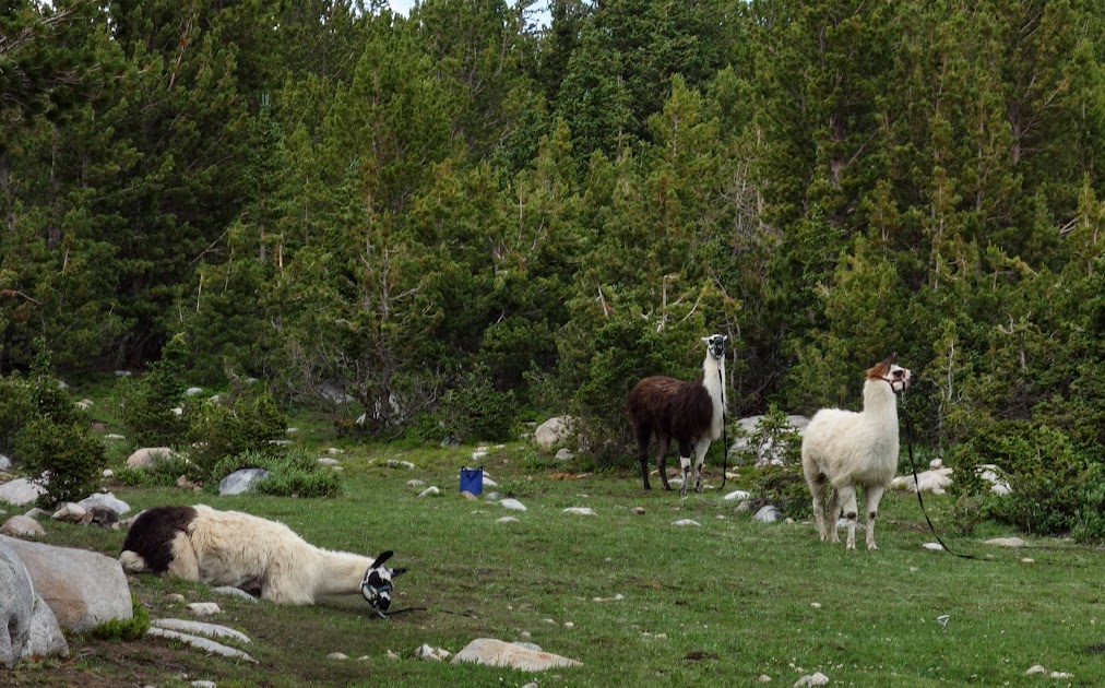
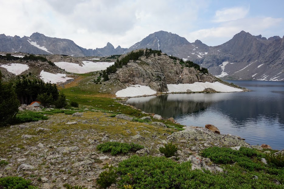
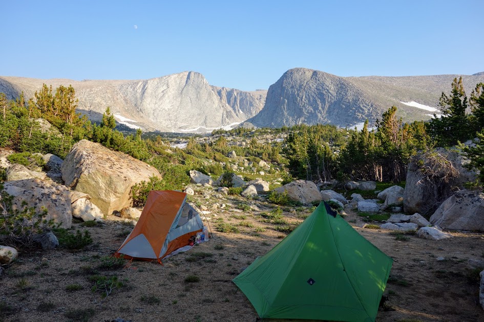
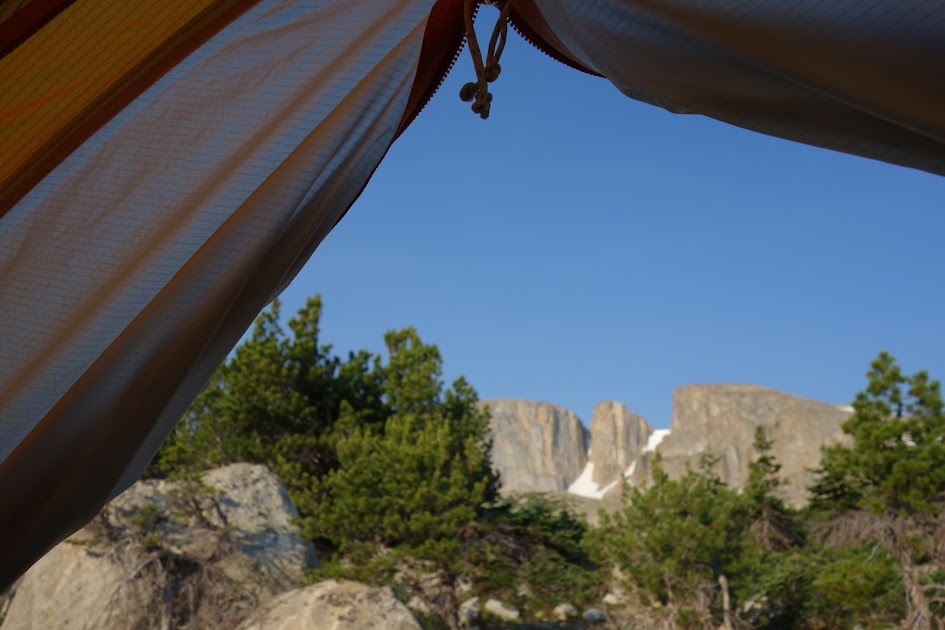
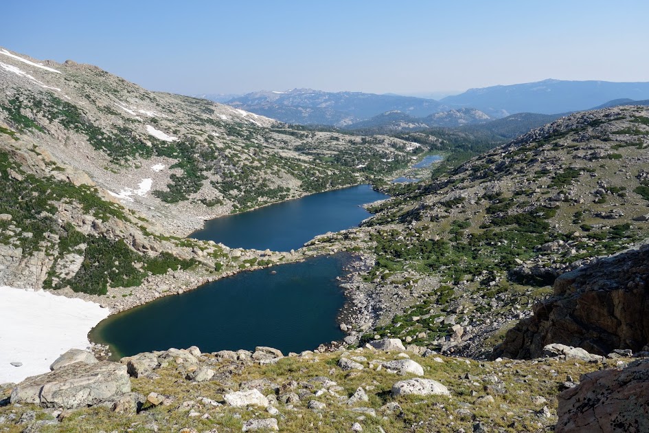
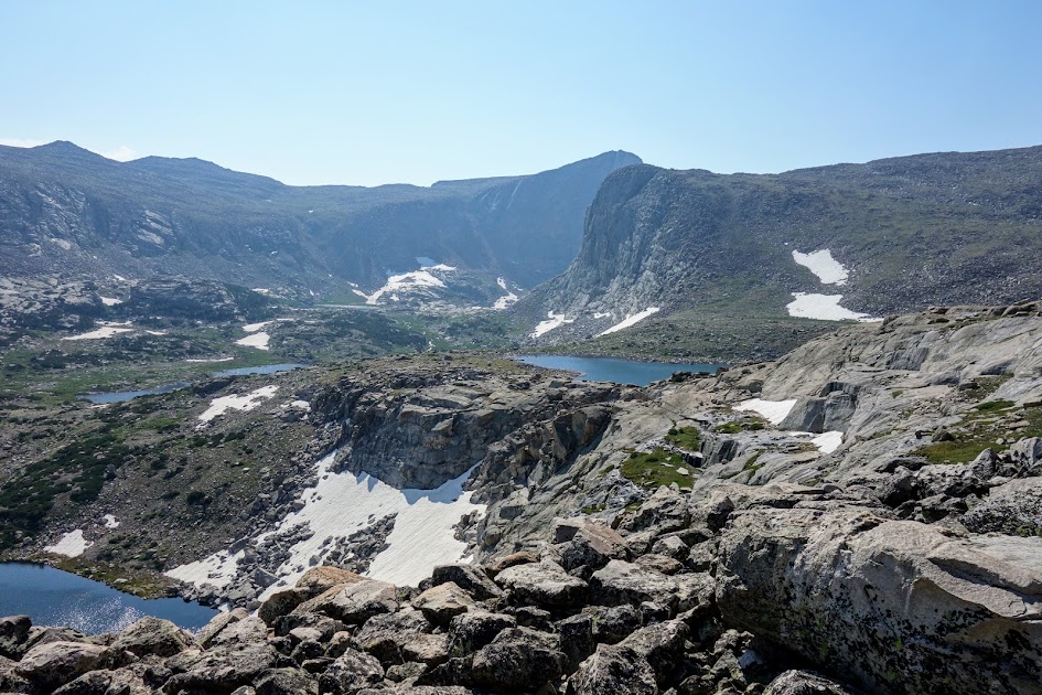
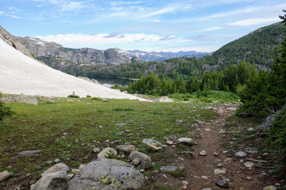
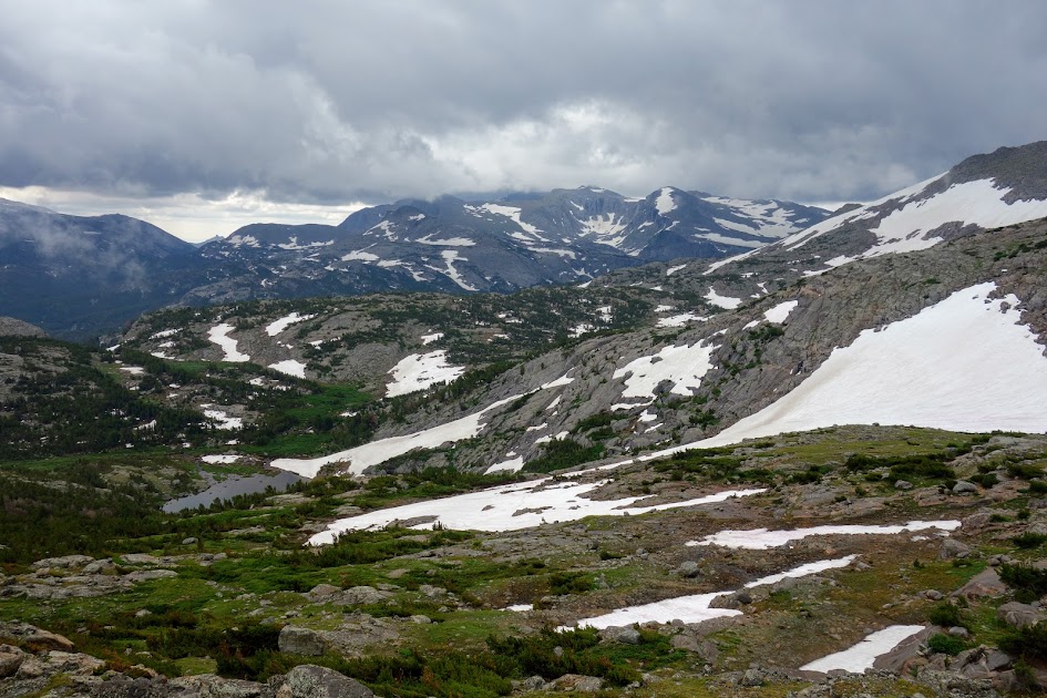
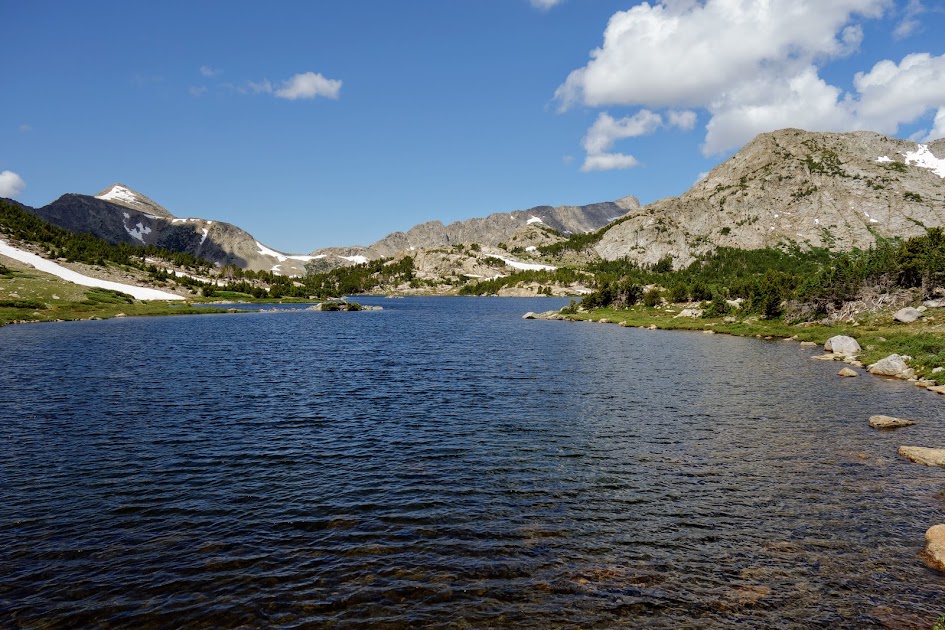
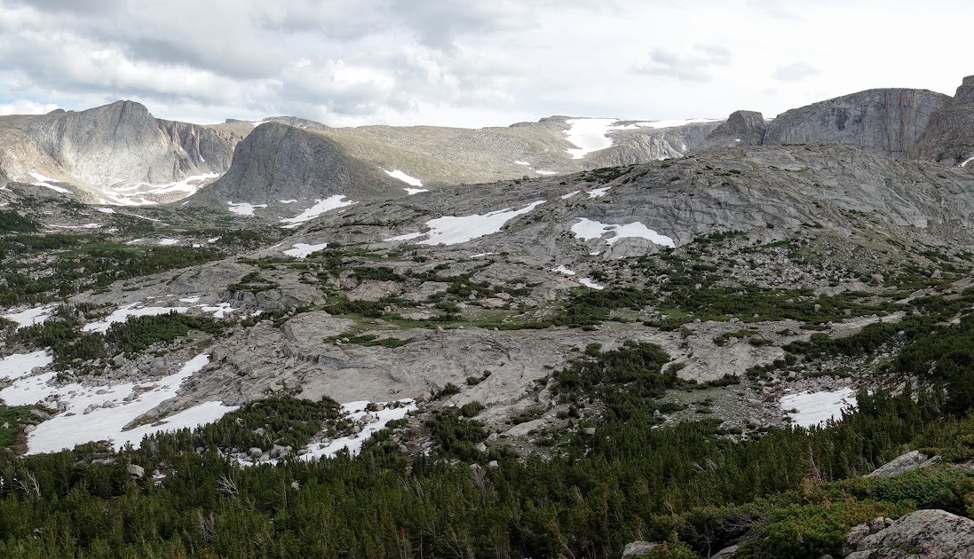
I spent time exploring the areas searching for a view campsite. I landed near Shoal Lake. 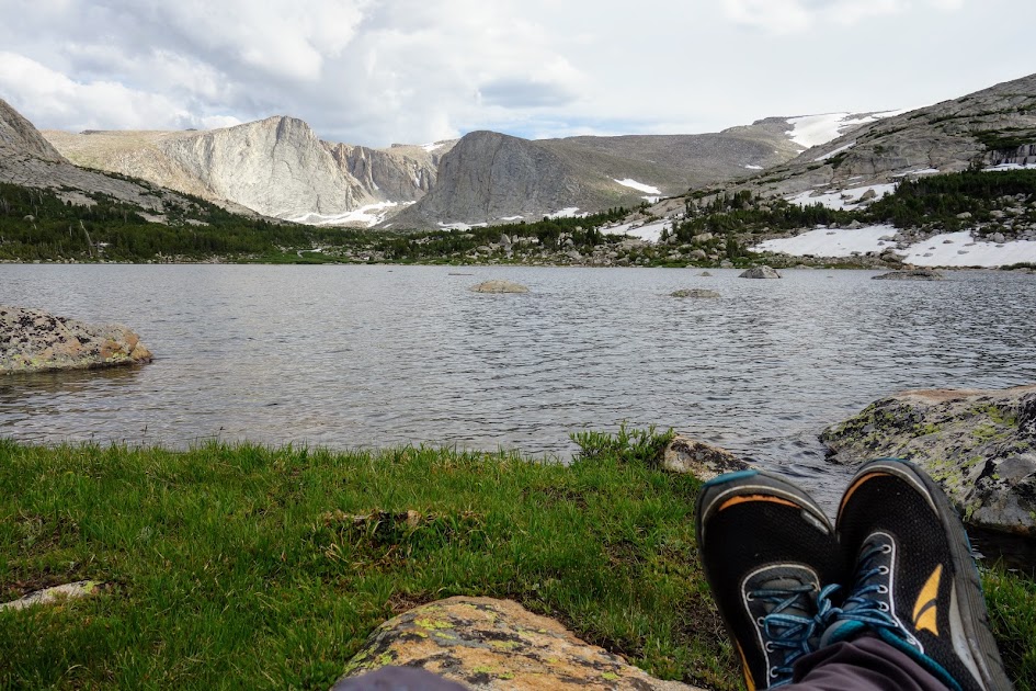
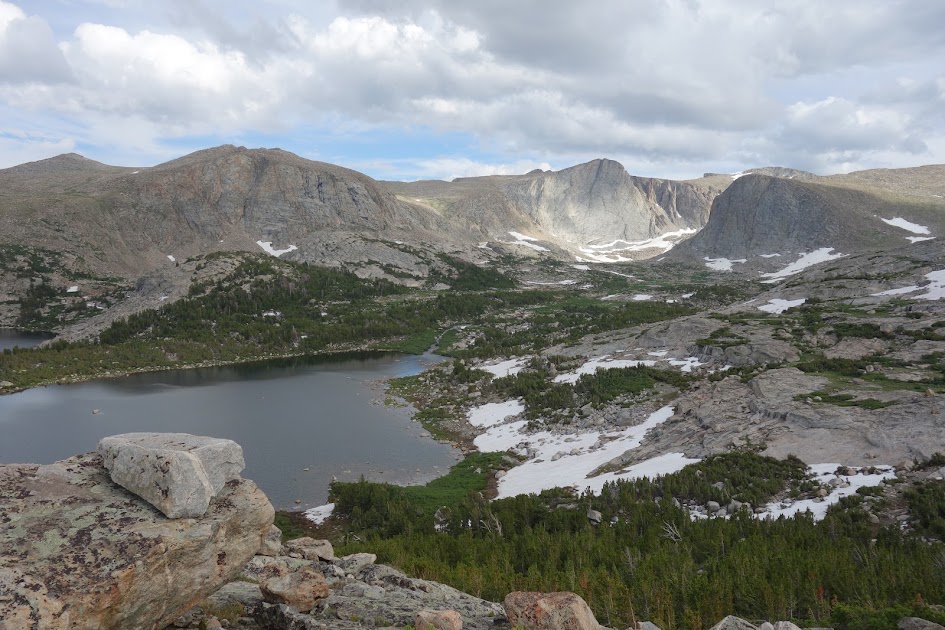
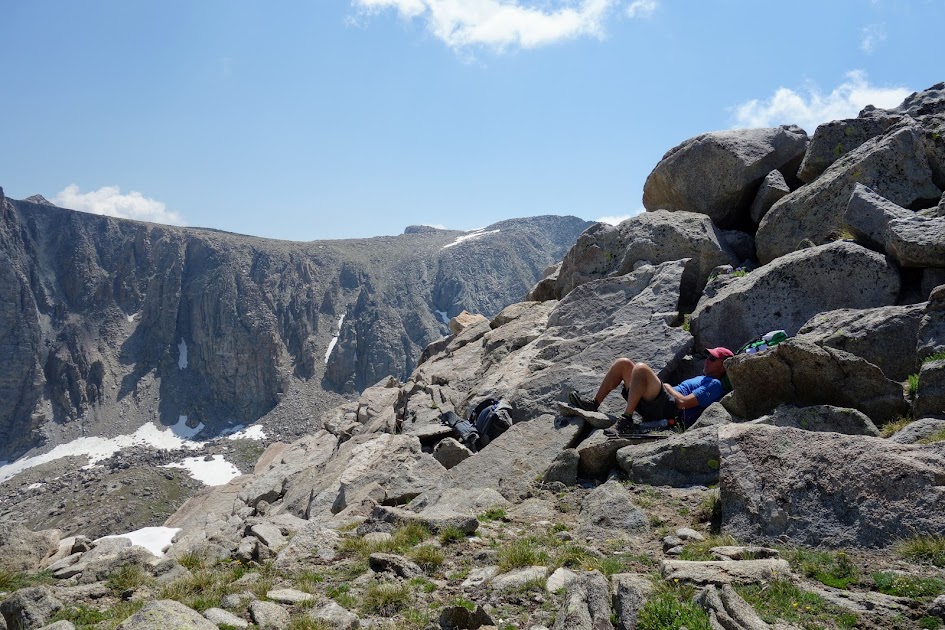
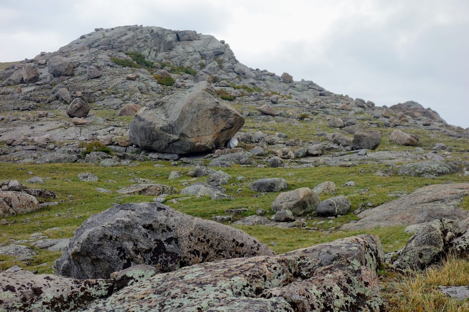
This rocky hillside beckoned me to the top so I could get uninterrupted 360 degree views of the area. 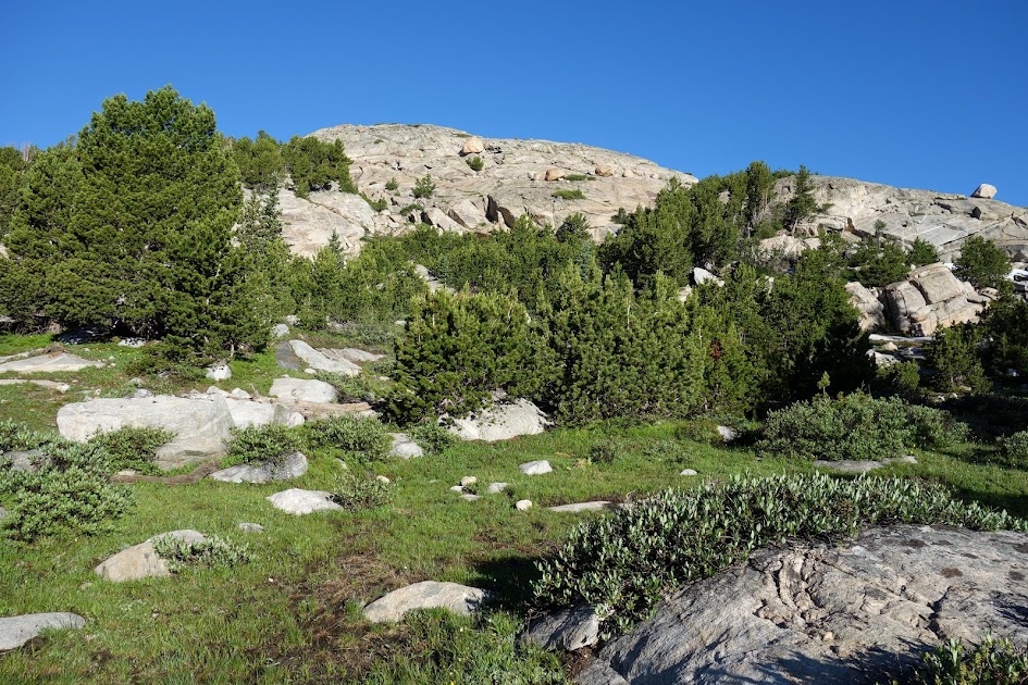
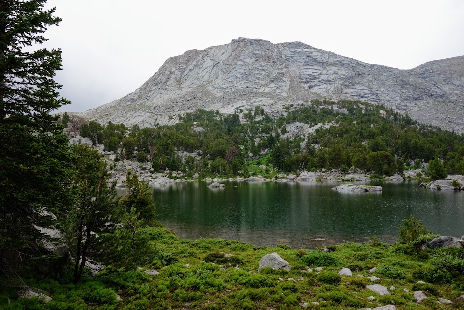
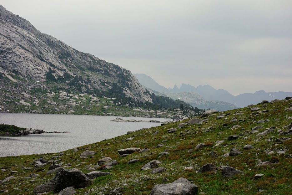
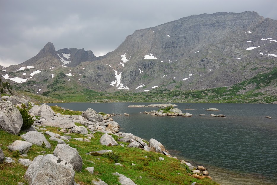
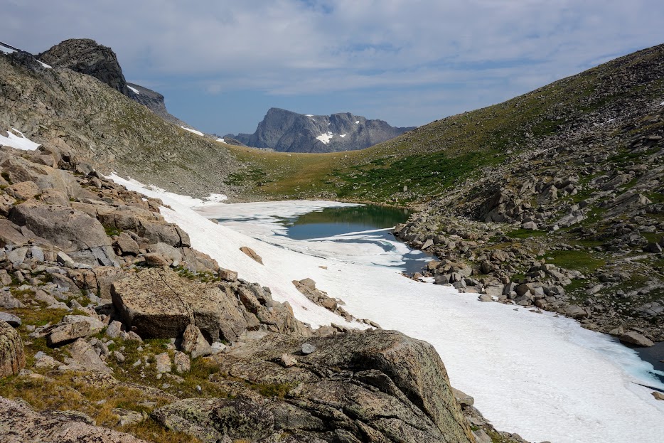
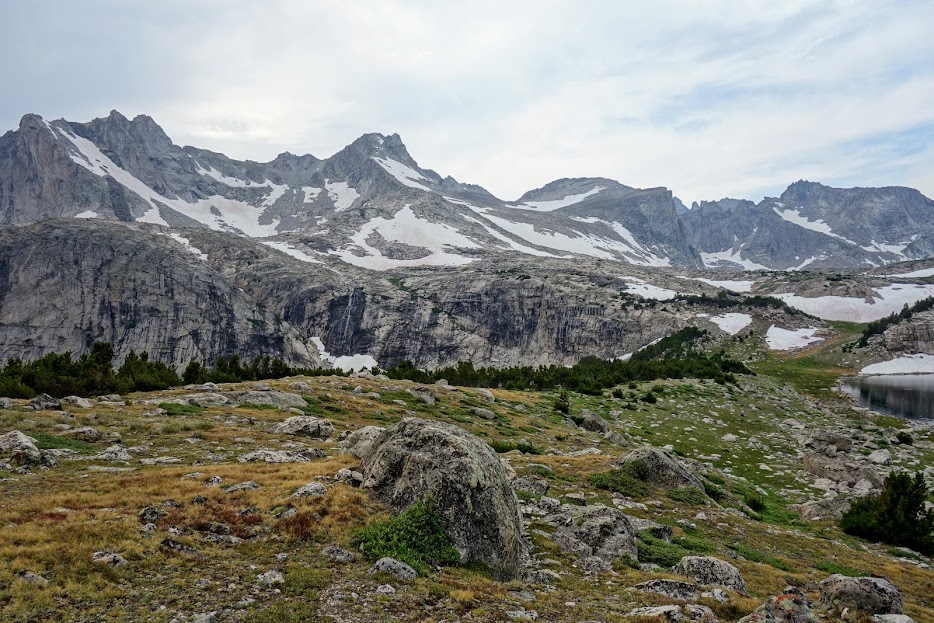
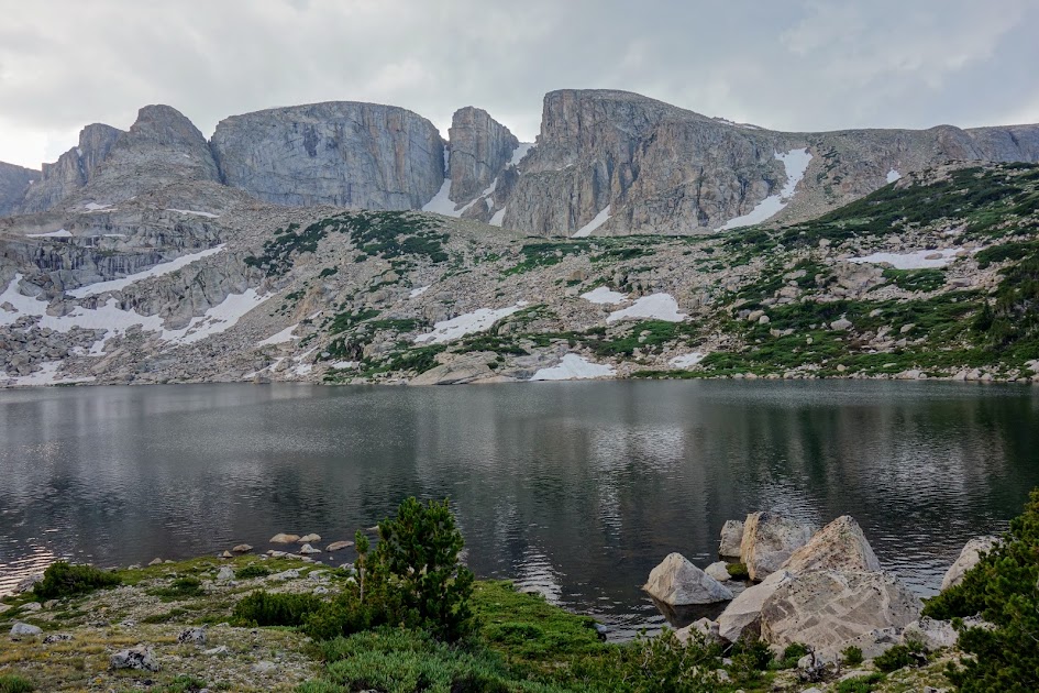
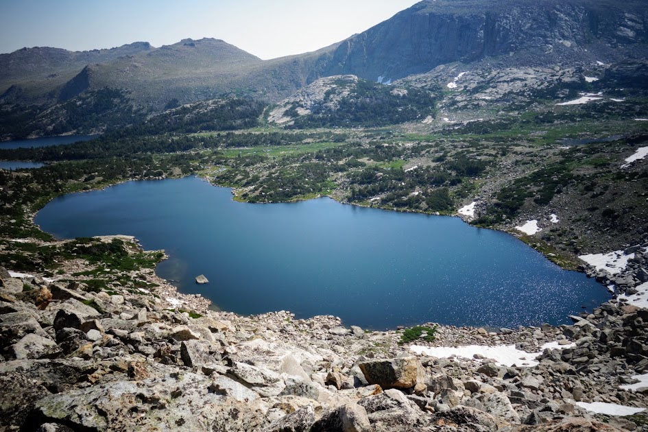
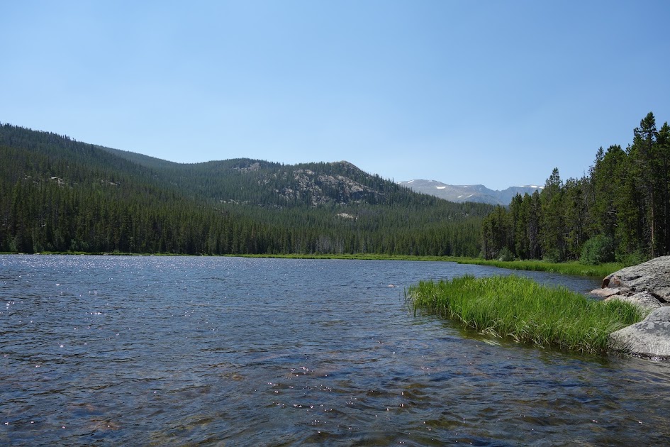
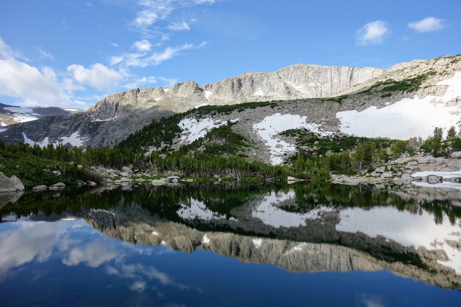
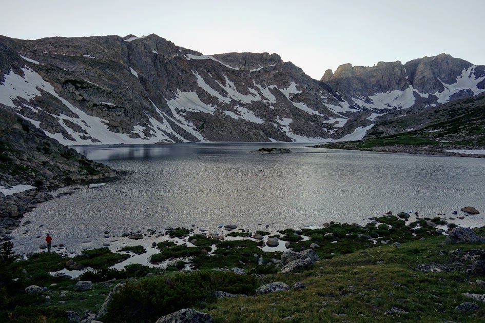
Shoal Lake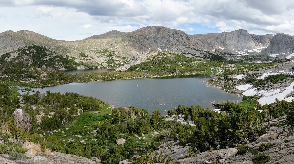
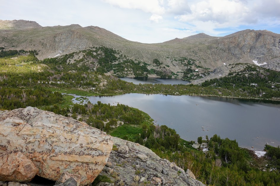
Views from the top. 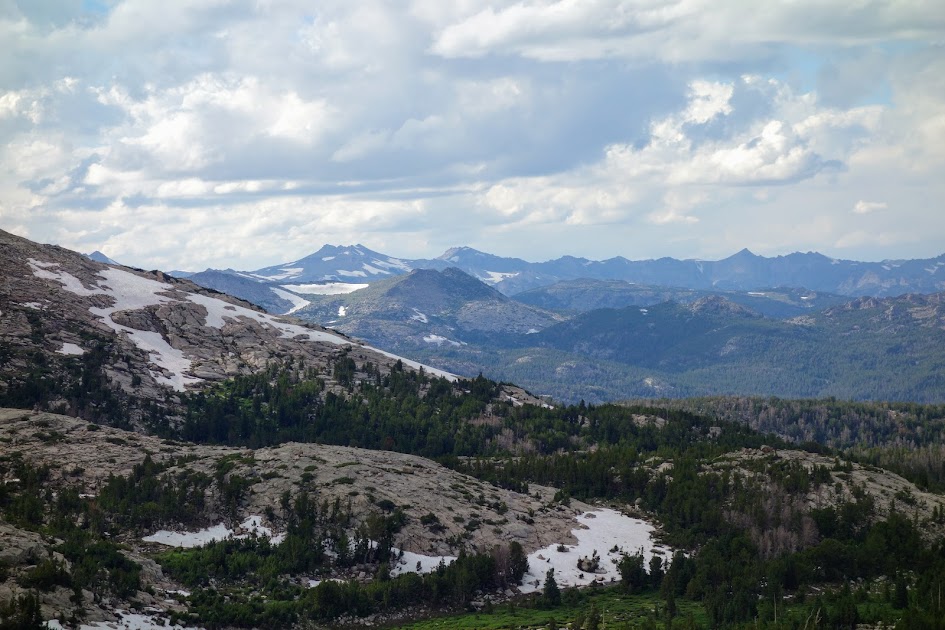
It was hard saying goodbye to this beautiful place the next morning. But given I had very little food left and hoped to meet my friends later that day, it was time to say so long. 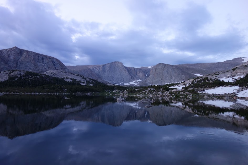
I’ll be back I’m sure. 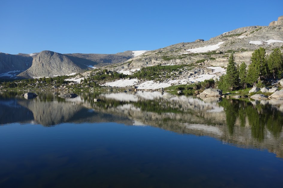
So much water coming out of the outlet. 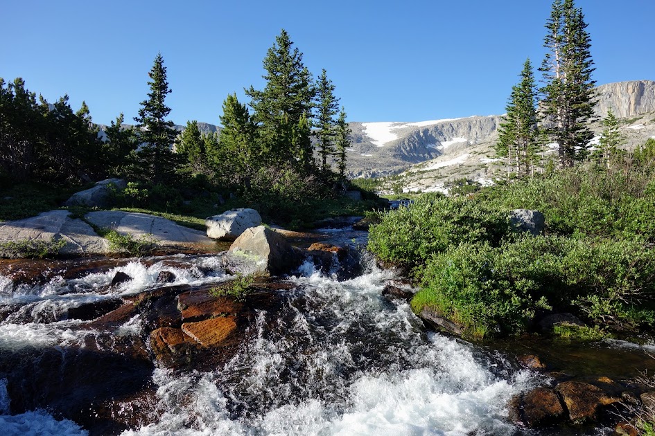

The llamas were getting ready for another day of adventure also. 
Back on the main trail, my feet were feeling the urgency of town calling. Real food! 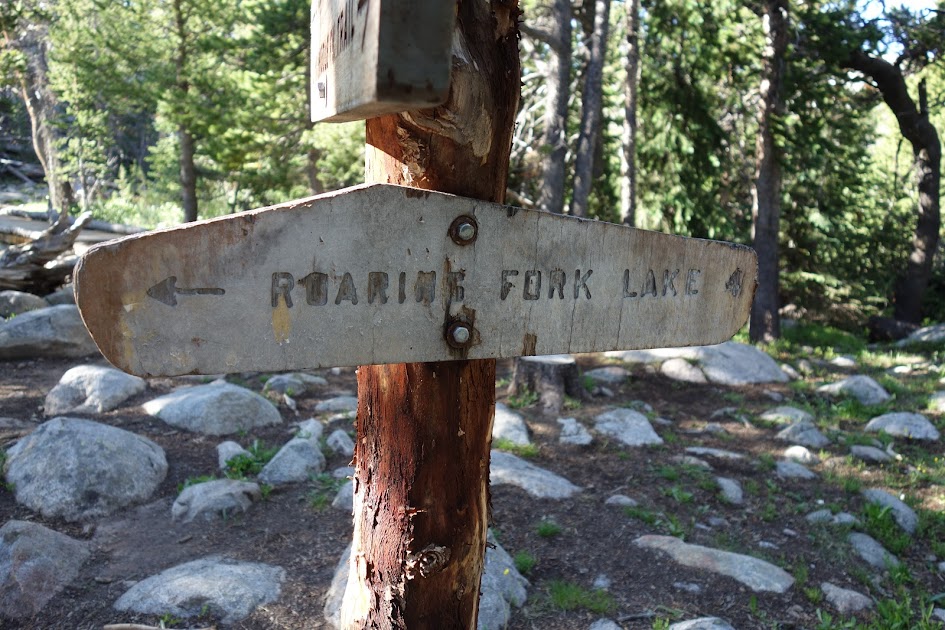
All of the main trails on the loop have been logged out. Some very recently by the smell and look of those trees. Thank you again trail maintainers. You are my heroes! 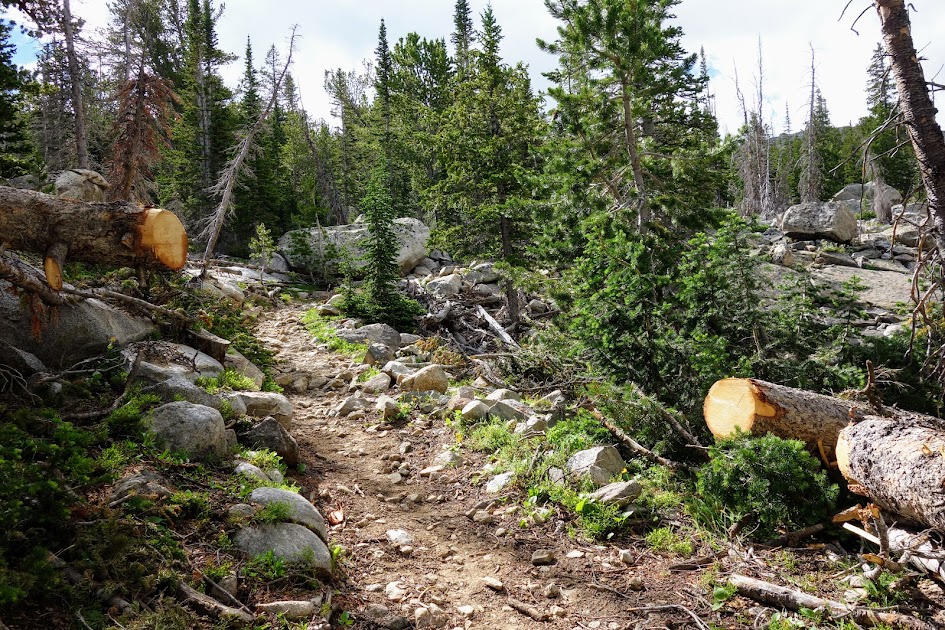
Another new find. 
When they are in full blooms, they are going to be an amazing sight. 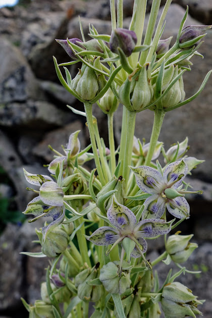
My pole gives an idea as to size of the plants. 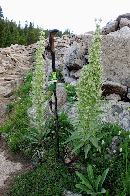
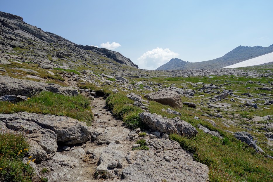
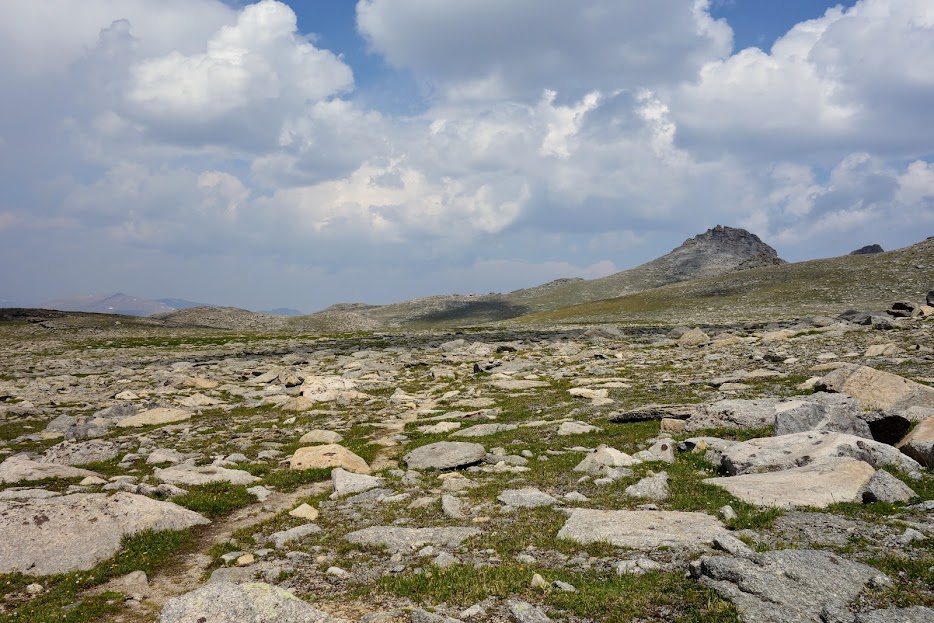
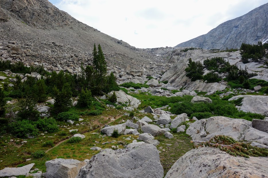
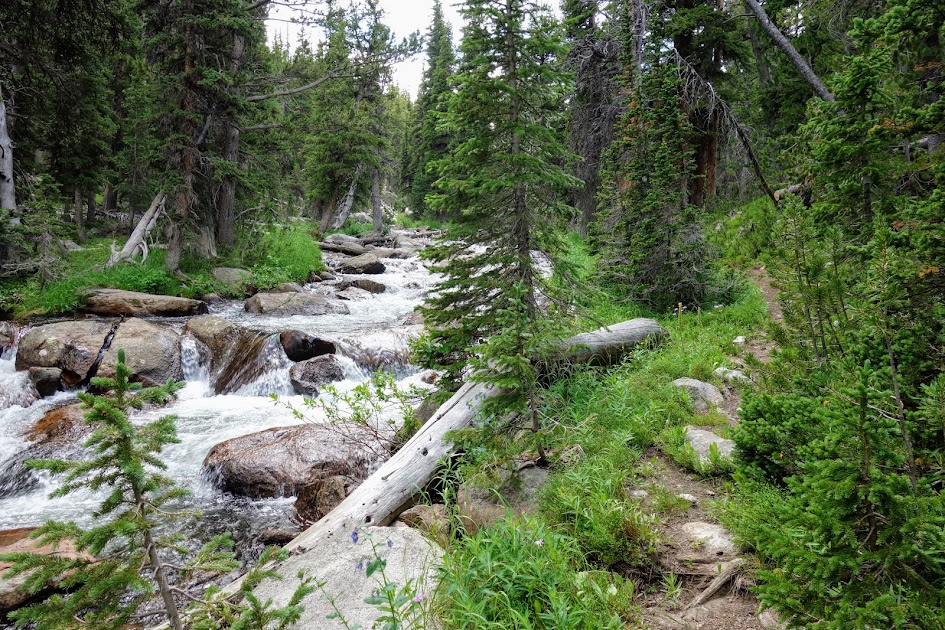
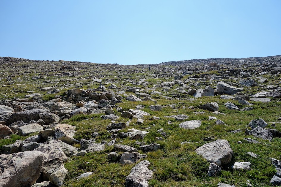
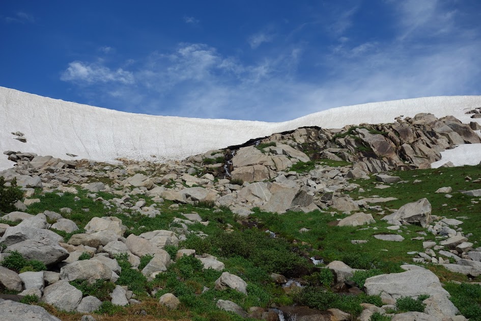
There were a couple rubble fields and it sure was nice to have a trail cut through. 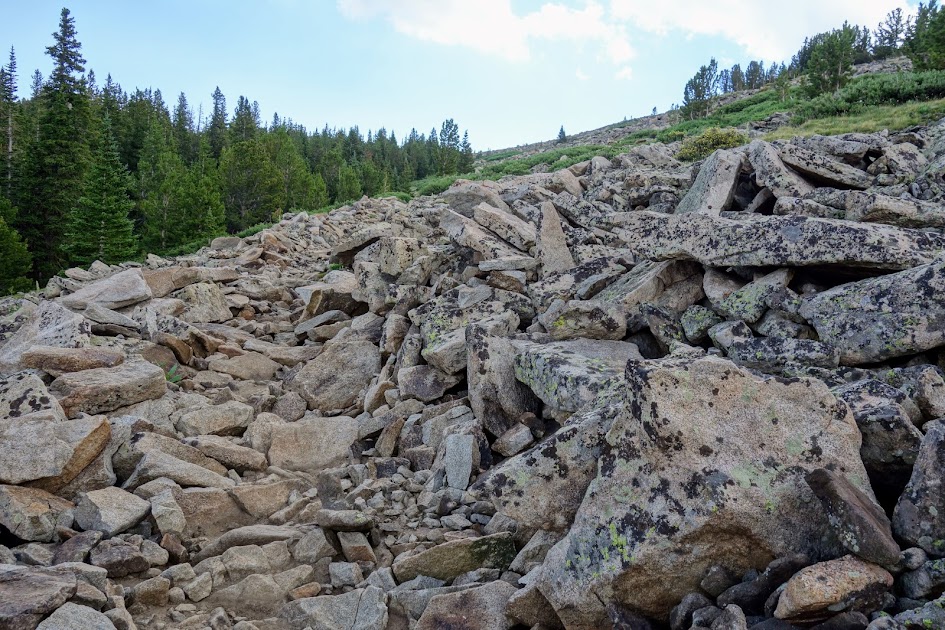
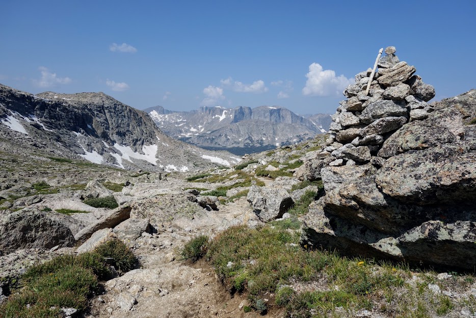
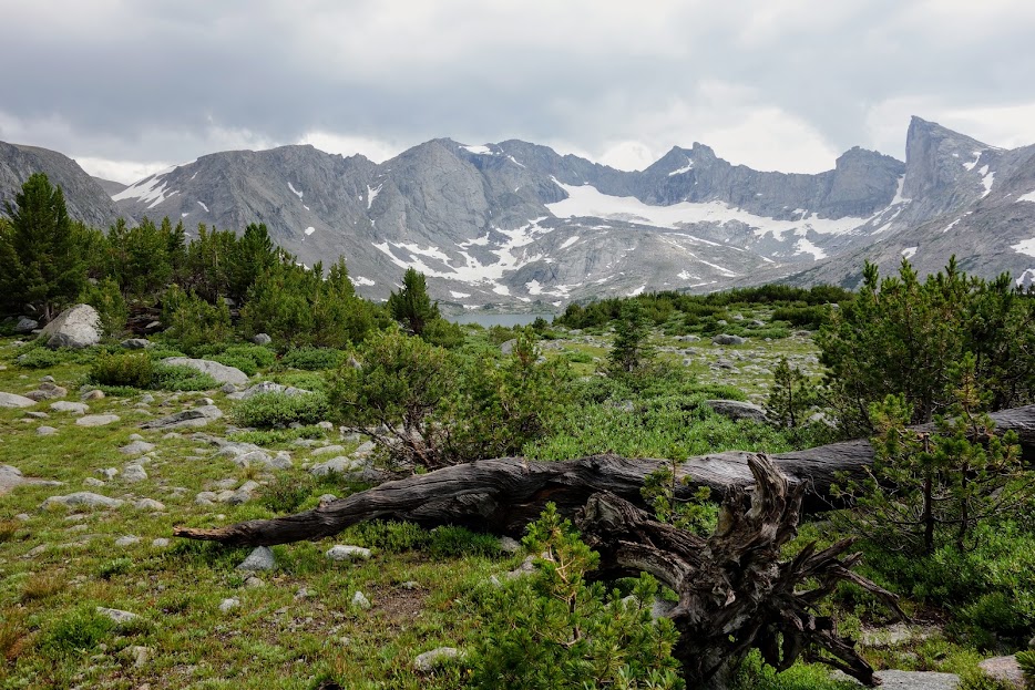
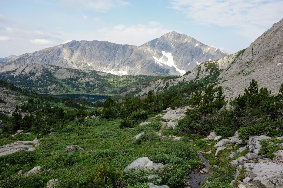
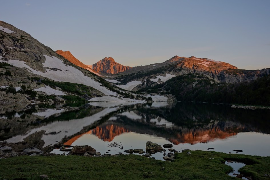
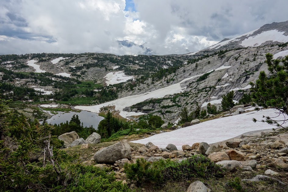
Stough Creek Pass provided some WOW views! I’d love to camp up here, but carrying water up the long steep ascent makes it a highly unlikely possibility. I truly lucked out getting to enjoy these views before the thunderstorms turned this peaceful setting into a forceful one.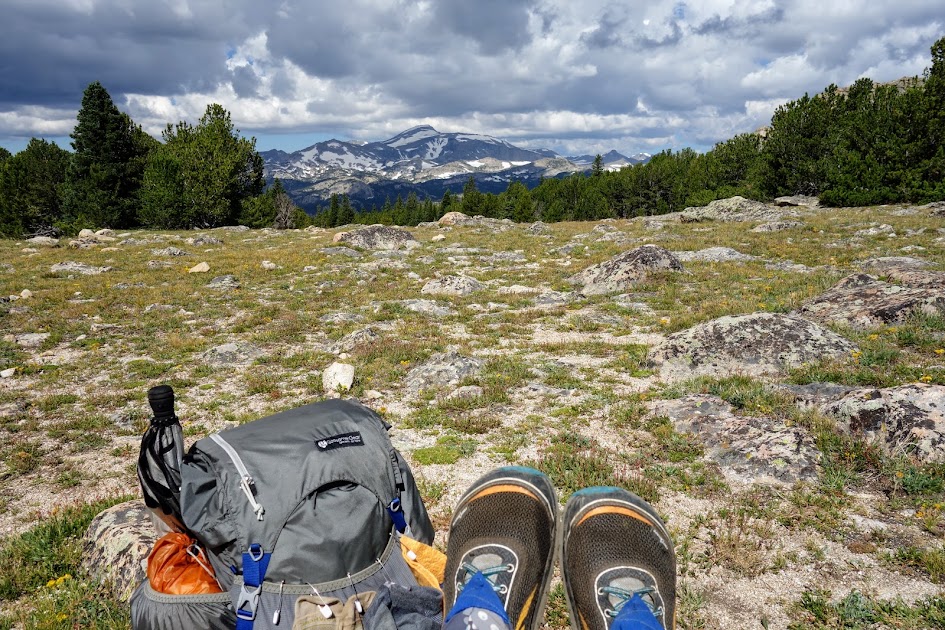
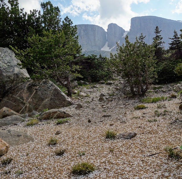
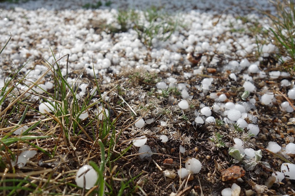
There was a little snow on the trail as I started down the pass. Not 15 minutes later, it started sprinkling. I attached my umbrella and kept hiking. Soon it began to hail. 
Then the skies let loose and I got a real soaking as the trails turned into rivers. I was thankful for both my umbrella and Frogg Toggs poncho. The rocks and mud made for a slippery treacherous descent, especially with my sore knee from my water crossing incident of the previous day.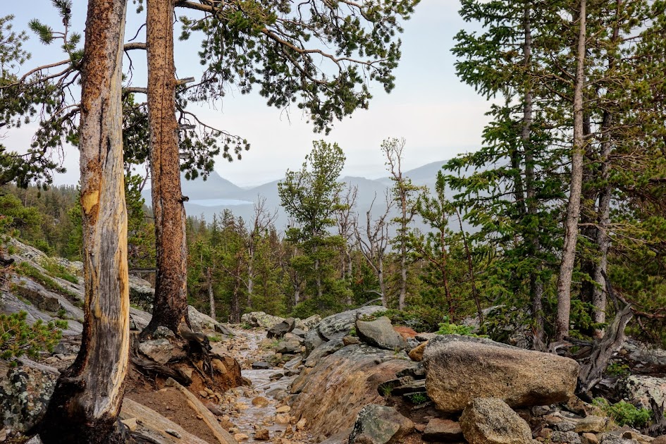
What? Another lake outlet crossing? More muck to wade through at the Roaring Fork Lake outlet. 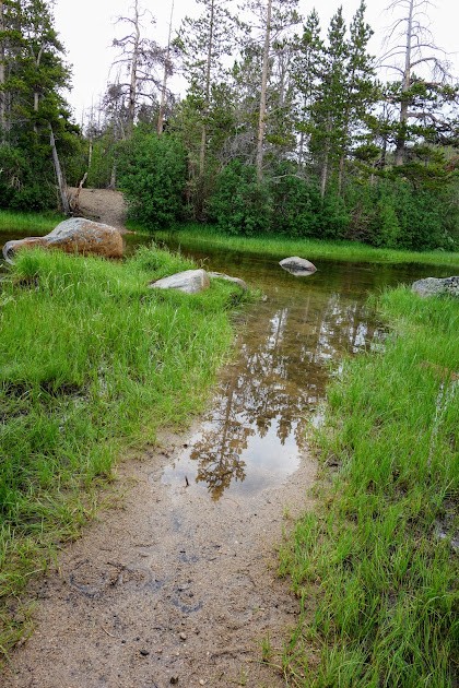
I’m standing in the middle of the crossing at Roaring Fork Lake. Swim anyone? Maybe on a different day. I was plenty wet after an hour or so of rain. 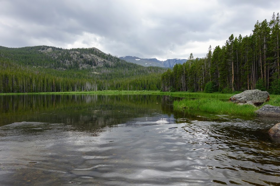
Oh how you have to love Mother Nature. 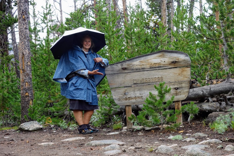
The completion of the loop. Success!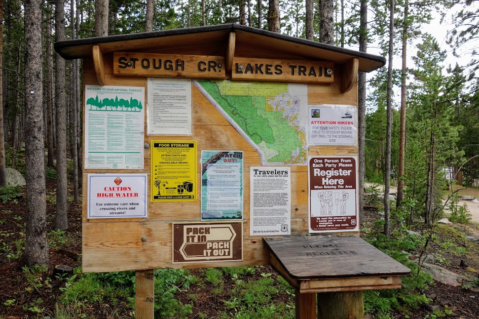
A few things I picked up on my way out the last day. It’s important to practice LNT (Leave No Trace). 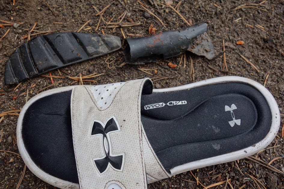
I could have survived a few more hours on the food I had left. I love it when my planning works out and I don’t carry home extra weight. The Pro Bars are my meal of last resort and they seem to get carried more than ever eaten. I ran out of fuel my last night and had cold breakfast thus the reason my oats were not eaten.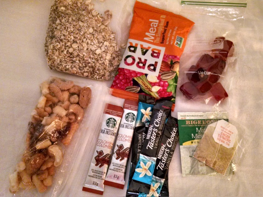
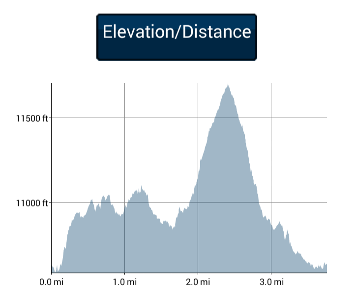
Hike Details:
- Date(s) Hiked: 7/27-29/17
- Mileage: Approximately 20-22 miles
- Elevation Gain/Loss: Unknown, but a LOT. Thus far in the Winds I’ve found very little flat.
- Trail Conditions:
- Tree obstacles: All clear!
- Overgrowth: Main trails, zero. A bit on the secondary trails to the lakes
- Signage: Good on main trails. Non existent on secondary trails.
- Terrain: Good on main trails with some snow and muddy muck conditions
- Water: Plentiful
- Camping: Plentiful
- Solitude: Moderate, although I didn’t see anyone between Stough Basin and Tayo except for the group of 5 gals. I saw quite a few people between Stough Basin and the trailhead.
- Bugs: Plentiful although I didn’t need deet
- Precip: Thunderstorms daily in July
- Temp: Lows of 30’s to 40’s, highs 60’s to 70’s.
- Jan’s Cherry Picker Delight Scale: 4++ cherries (out of 5). Would be a 5 if trails weren’t so mucky from livestock.
Tips:
- Be prepared for altitude, elevation changes, weather changes, snow, bugs and navigation.
Links:
Resources: