WA – PCT Section L . . . as in at Long Last – Part 2 (07/23)

With a mere 30 miles separating Joan and I from the US/Canada border, we were anxious to get started. Part 1 (blog link) includes the details of Joan’s journey; she was less than 60 miles from completing her 2014 goal of thru-hiking the PCT. I knew this was a section filled with eye candy, one that met my WOW per mile criteria, so I was thrilled to join Joan for the finale. I had a sneak peek of the initial miles of this section in 2019 (blog link), but I too had unfinished business and looked forward to marking most of Washington complete.

Besides wonderful landscape views, the flower blooms were an added incentive.

I always appreciate these on-trail, free, self-issue wilderness permit options.

Barely visible in the distance is the Slate Peak Lookout Tower. We hiked up there the previous day and enjoyed views of the distant peaks and the landscape we would be traveling through over the next few days.

The colors of these mountains offered so much WOW.

We enjoyed views of Mount Baker hiding between Crater and Jack Mountains. I couldn’t help but reminisce about the trek I took around Jack Mountain (blog link).

I was thrilled to run into Nick Fowler who I met on the Arizona Trail this spring. He was heading north to the border before beginning his southbound FKT attempt the next day.

This is why we needed the wilderness permits. Even if you have the PCT long-distance permit, you are supposed to obtain a permit so the USFS can track visitation (and hopefully obtain additional funding and resources).

Eye Candy! Jan’s happy place, oh how I love ridge walking.

The sun was intense at elevation this far north. Joan was happy to have her umbrella even at this early hour of 7:30am.

The Dr. Seuss mopheads were glowing in the morning sun.

They were trying to be scene stealers.

The larch trees really did steal the show. I imagined how this area would look in the fall when they showcased their yellow and gold color.

The long traversing sections were another happy Jan spot; however, we often discussed how sketchy this would be in normal snow years. We were so lucky with our timing. No snow, fires, or smoke!

Looking back at this traverse section.

My National Geographic PCT map incorrectly identifies this as the high point on the PCT in Washington.

We couldn’t resist making snow angels; after all, we were going for the SKT not the FKT!

Hopkins Lake provided another swimming opportunity, extending our lead in the SKT race.

The next morning we only had 6 miles remaining before we reached the infamous monument at the border.

What would the PCT in Washington be without stormy clouds and precipitation?

This was a day to drop elevation, not my favorite since I knew I’d be reversing course in the afternoon. But these bright monkey flowers erased those worries.

Monkhood

By 10am we were ready to celebrate at the border.

Joan was a member of the Class of 2014 and now can mark her journey complete!

Happy Jan!

Joan celebrated her completion and future freedom after spending the past 9 years thinking about this odyssey.

I was just happy to share the climb with these blooms.

Since Joan had a hammock for her shelter, we spent most nights in wind-protected locations. At the beginning of this year, I wrote a post about my spontaneous purchase, the Durston X-Mid 1 (blog link). After 6 weeks on the Arizona Trail plus multiple nights over the past couple of months, I can recommend this tent without hesitation and confirm it has exceeded expectations.

The moody skies provided some incredible lighting.

Goodbye Hopkins Lake, sadly it was too windy and cold after we returned from the border to take a second swim.

Frost was evidence of the chill we felt.

I was impressed with the number of blooms on the columbine plants.

Mount Baker was more obvious in the morning light.

We hadn’t previously noticed the snow tarn above Hopkins Lake.

Owl’s Clover.

Lupine.

Pasqueflower seedheads and paintbrush.

We found a few ripe berries and were super excited to find our first gentian buds.

Thank you trail builders for giving me switchbacks.

Joan and I both made a “happy accident” as Bob Ross would say. We neglected to remove our first day’s breakfast and last day’s dinner from our food supply. This meant we could stay out another night. As such, we decided to take a detour to Goat Lake, which we found on the map a short distance from the PCT.

We were surprised by the lack of wildlife. We saw several deer and grouse but no evidence of bears or goats.

On our bonus night, I enjoyed sleeping among the larch.

While Joan prefers deep forest camps, I prefer ones with views so this was a winner for me.

We had glorious views the next morning.

Our first order of business upon completing the trail was food in Mazama followed by presoaking our very dusty, dirty, stinky laundry.

My next chore was figuring out how to replace the tips on my hiking poles. This was a first for me. I’ve never worn down tips before. These poles are only 2-3 years old.

I’m forever grateful for these J&J Jaunts, and the sharing of time with my bestie Joan.

Links:

CO – THE Colorado Trail, Segments 12-13, Collegiate Peaks Wilderness (06/22)

You can plan or you can take things as they come. After completing segments 1-5, I landed in Fairplay. When smoke rolled in from the fires in Arizona and New Mexico I moved on to Buena Vista and discovered proximity to segments through the Collegiate Peaks Wilderness.

The sign seems incomplete. What happened to PEAKS?

Collegiate Peaks Wilderness was designated by the United States Congress in 1980 and it now has a total of 167,584 acres. It’s a subset of the Sawatch Range. When the tradition of naming the nearby peaks after universities including Harvard, Columbia, Yale, Princeton and Oxford.

I broke segments 12-13 into several section hikes. Like most long distance trails, the Colorado Trail has best seasons. I used this blog article published by the Colorado Trail Association to guide my planning (link). They also have active facebook groups sharing feet-on-the-ground conditions.

Silver Creek Trailhead

Segment 12 – Silver Creek Trailhead to Waverly Mountain Ridge

I initially hiked north from the trailhead, covering the southern 14 miles of this segment as an out and back for a total of 28 miles with 5,000′ elevation gain/loss. The high point was nearly 12,000′.

This section was all about Harvard; Harvard Lake and Mount Harvard. “Mount Harvard was named in 1869 when Harvard geology professor Josiah Whitney led a surveying expedition into Colorado to investigate rumors of soaring 17,000-foot peaks deep in the Rockies. After crossing Trout Creek Pass, they named the highest summit in sight for the expedition’s sponsor: Harvard University.” Source: Summit Post

You see the big peaks almost immediately. Peak Finder informed me none of these were Mount Harvard.

I found the trail grade and terrain to my liking and was soon at the first Harvard Lake.

The second lake was much nicer with lots of fish jumping and swimming. You can see Mount Harvard off to the right.

I felt like I was in the mountains when I found plentiful natural water, often with bridges for civilized crossings. I never carried more than a liter unless dry camping. What a relief after the first 5 segments.

The bridge was a much better option than the log, after losing confidence several years ago when I got vertigo and fell.

There were a few remaining snow patches, but none that impeded travel.

I was super excited to find these Jacob’s Ladder blooms.

And maybe more so to find one of my all time favorites, Western Pasqueflowers.

Heading toward Dr. Seuss mophead mode
Mopheads glowing in the early morning light

A few other blooms.

Blue eye grass ?
Penstemon

I love above treeline trail.

This was from near my campsite the first night. Little did I know the next day I’d be dropping way down into that canyon.

I was happy to find this campsite that offered both protection from the wind and nearby views.

Sunrise views.

I got an early start the next morning.

I considered a side trip to Rainbow Lake but once I realized it was too much ascending I decided against, but not before I was welcomed by my first Colorado bear.

A friend noticed this bear had been tagged. I was told in Colorado bears have a 3-strikes policy. This bear has one more chance. I’m really glad it was well mannered during my encounter.

I believe this is Mount Harvard at 14,421 feet, the highest summit of the Collegiate Peaks and the fourth highest summit in the contiguous United States.

The guidebook says the side trail to Elk Pass and Missouri Basin along the Pine Creek is a worthwhile detour. I’d hoped to have enough energy but these big passes were keeping my humble.

Tundra wildflower heaven!

The WOW factor was high. I believe this is Mount Oxford.

Much of Segment 12 parallels the Arkansas Valley with the Buffalo Peaks in the background.

I spent my second night at Harvard Lake and caught early morning light.

With a storm brewing the lighting at the smaller Harvard Lake was nice as well.

I met several CDT thru hikers taking the East Collegiate Peaks route, including the Netteburg family of 5 kids, with one being under the age of 1. WOW!

This section ended with me saying thank you to a trail crew headed out for the day, and them gifting me croissants.

Segment 13 – Silver Creek Trailhead to Mount Yale Pass

The next day I hiked south from the trailhead. It was an overcast day with occasional sprinkles and lots of fog. I knew my chance of seeing views was 50/50 but since I’d need to reach the pass from the other side eventually to complete the segment I was willing to take the chance. This was a 7-mile out and back hike gaining/losing 2,600 feet with the high point about 12,000 feet.

The trail crosses Silver Creek on this sturdy bridge before beginning the climb, up, up and more up. It was a mix of reasonable and unreasonable grade.

It had rained hard the previous night. Droplets on the columbine were a treat, so much better than dust.

No wishes to be made from this dandelion seed ball.

I felt like I was hiking in the Pacific Northwest.

This California gal was so confused.

I found an old cabin.

And some very wet Dr. Seuss flowers.

Oh look a sign that includes PEAKS.

My legs were fried by the time I got to the pass but the guidebook said I needed to hike up this hill for best views.

YES it was worth it! I stayed about an hour watching the fog swirl about.

Mount Yale

You can see a bit of a trail up Mount Yale. Much of the mountain is hidden in the fog.

Mount Princeton
Mount Columbia

The flowers tried to steal the show.

Wandering around the tundra I found this bloom. It looks a bit like Forget Me Nots.

Bino Bob for comparison. He’s 1.25″ tall.

On the way back I got a hint of what I missed.

Avalanche Trailhead

Segment 13 – Avalanche Trailhead to South Cottonwood Trailhead

I needed a day with less climbing. This small section was perfect although I could tell my muscles were tired as I struggled even with this minimal elevation gain.

It was a lovely walk along Cottonwood Creek.

The trail was lined with red columbine but I found one pink columbine, although it photographed more purple.

Another special find was coralroot orchids.

This view shows Mount Yale in the background to the right, and a visualization of the climb to the pass.

Segment 13 – Avalanche Trailhead to Mount Yale Pass

I wasn’t looking forward to the climb and would have liked one more rest day, but the weather forecast indicated this was to be the last bluebird day for a while. It was 7 miles round trip with 2,700 feet elevation gain/loss. There were many areas with grade beyond my comfort zone, but if I wanted to complete this segment I needed to buck up and get it done.

You are almost immediately welcomed to the wilderness and provided a view of the pass.

Soon enough I was back up the pass and up the hill to the viewpoint. What a difference from the day I hiked up from the other side and found the mountain surrounded by fog.

Mount Yale

I saw one person headed up this path on Mount Yale.

I couldn’t help exploring all the alpine tundra plants. I read it can take a century for these matted plants to spread a foot in diameter.

South Cottonwood Trailhead

Segment 13 – South Cottonwood Trailhead to Mount Princeton Pass

I hiked south before reversing course on this 9.4 mile 1,200 foot elevation gain/loss round trip jaunt.

I said goodbye to Mount Yale and kept it in my rearview mirror as I made my way south toward 14,197′ Mount Princeton.

I was ecstatic to find several blue columbine blooms, the Colorado State flower, along the early part of the trail where it paralleled the river before climbing up to the pass though a nice forest with occasional views.

A few other blooms caught my eye as well.

And then it was finally time to say hello to Mount Princeton.

Mount Princeton Trailhead

Segment 13 – Mount Princeton Trailhead to Mount Princeton Pass

This 8.25 mile 1,300 feet elevation gain/loss round trip hike was in general a kind and gentle forest walk.

This section began with a one-mile road walk.

Since I wasn’t planning on hiking road sections I considered driving up the road to where the trail connects. In hindsight I was glad I chose to walk as it’s steeper than my car likes and there’s no parking. I didn’t hike the southern 5.5 mile road walk section of this segment.

There wasn’t much remarkable about this hike. You glimpsed views of Mount Princeton.

These lovely pink roses were the most prevalent bloom in Segment 13 so since I hadn’t previously shared, they’ll be showcased on this day.

Tent caterpillars had hatched and were dropping from the trees quickly becoming unwanted hitchhikers. I was glad to be wearing my hat. I don’t know if this is the same type of caterpillar but he wanted a free ride also.

This outhouse might be a cuteness award winner.

Clear Creek Trailhead

Segment 12 – Clear Creek Trailhead to Waverly Mountain Ridge

Was I saving the best for last? I wasn’t looking forward to this climb. I knew it would test my fitness so I first took a day off after 9 straight days of hiking these segments. This was a 10-mile, 2,800 foot round trip. I hiked south before reversing direction after reaching the ridge.

There wasn’t any exciting trailhead signage to mark Segment 12 or 11. It’s also a little odd as you first head for the creek and then veer left through a campground where there’s a bridge to cross the creek.

I really like this penstemon.

Soon it will be berry season.

It would be easy to be fooled about the upcoming climb.

But the views make the climb worth it! It was great to see Mount Harvard again.

Mount Oxford (14,157) is the pointy peak to the right and Emerald Peak is in the middle (13,885′)

Emerald Peak
Mount Harvard 14,420′

Tips:

  • This was a fuel efficient way to section hike these segments as I took advantage of nearby dispersed camping.
  • Buena Vista was a great place to hang out between hikes. I often spent the afternoon using free WiFi available in the park to upload my photos and work on my blog. The markets were sufficient and I found a couple great restaurants. There are showers and laundry available also.
  • These are considered hard segments due to the ascending and descending. Segment 12 is 18.5 miles and going south has 4,866′ of ascending and 4,364 of descending. Segment 13 is 22.8 miles with 4,296′ ascending and 5,343′ descending. That’s 223 feet per mile.
  • Would I recommend as an out and back? Probably not unless (1) you are a glutton for punishment, (2) you want a quick weight loss fitness program, (3) you don’t have access to a two vehicle shuttle, or (4) you don’t want to pay for a shuttle or hitch between trailheads.
  • The Guthook/Far Out App and Colorado Trail Association Guidebook and Databook are helpful. I also used Gaia with the Colorado Trail Nat Geo layer.

Resources:

CO – THE Colorado Trail, Segments 1-5, Waterton Canyon to Kenosha Pass (06/22)

Hiking all or part of THE Colorado Trail has been on my agenda for several years and became a knee rehab goal. This 485-mile trail runs between Denver and Durango, passing through six National Forests, six Wilderness areas, traverses five major river systems and penetrates eight of the states mountain ranges. 

Much like other long trails, if you are thru hiking, you can’t pick best time for each section, but as a self-proclaimed cherry picker and section hiker, I’m happy to jump around when opportunities present. The first five segments (or sections) are lowest elevation and tend to heat up early, and with each passing week after snowmelt, water availability lessens. When the window opened and logistics came together easily, I found myself at this iconic sign.

Was I ready to traverse 70+ miles with significant elevation gain while traveling between 5,000 and 11,000 feet? hadn’t carried more than 2+ days of food since my knee surgery. I wanted to budget food based on 15-mile days but that would certainly set me up for failure. That far exceeded my training and fitness. Begrudgingly I packed 6+ days of food for 10-mile days. With thunderstorms forecast, possible frigid temperatures at higher elevation and exposure through a few burn sections, I added my rain gear and umbrella. I about cried when I saw the scale register 27 pounds. The night before I tossed and turned considering what I should remove. In the end I didn’t remove anything, and kept thinking of the phrase “what doesn’t kill you makes you stronger.” I was super excited to finally turn this concept into reality!

Segment 1 – 16.5 miles (2,380′ gain, 2,239′ loss)

The challenges of this segment include road walking on compacted surface in the heat, limiting miles to 8.7 if you don’t want to carry water for dry camping or if you aren’t able to hike 16.5 miles to the next water source.

The walk through Waterton Canyon was an easy stroll with restrooms, shaded picnic tables, and garbage bins every couple miles, plus nearby river access.

This canyon is known for Bighorn Sheep sightings. I thought it was going to be a bust but at the last rest area these youngsters came down the hill. They were headbutting and humping. It was an entertaining sight.

I was happy to be on single track with shade after the long road walk.

Another benefit of being a section hiker is that I didn’t need to share cramped campsites. I saw 5-25 hikers, runners and bikers daily, most out for the day or a section, as it was still early for the thru hiker crowd. I only shared a camping area one night out of five.

I finally earned some views and even saw some snowy mountains.

In this segment I found a few blooms including prickly poppy, grass widow, skullcaps, penstemon, larkspur, milkweed, columbine, and I believe euphorbia, plus lots of butterflies.

Prickly Poppy
Grass Widow
Penstemon
Big leaf viola
Skullcaps
Penstemon
The Colorado State flower, Blue Columbine
Iris

Segment 2 – 11.7 miles (2,482′ gain, 753′ loss)

Water is again a big challenge as there are only two sources. The first at the beginning and the second 10 miles later. There are two large burn areas devoid of shade.

The South Platte River is a bit of an oasis. I took a nice break in the shade before loading up with 4.5 liters of water for the climb and dry camping.

I used cooling strategies to get me through the exposed burn scar of wetting my shirt, head, hat and buff at the river, then adding my umbrella to keep me shaded.

I was happy to find some shade at the 2.5 mile mark. I couldn’t carry those 10 pounds of water any further in the heat. It made for an early day but better for my wellness and success.

I was left wondering if I needed a helmet but thankfully no UFO’s bonked me upon the head.

It was a relief to reach the fire station and find the spigot on with water available. Such a humanitarian gift and one worthy of a donation (NorthForkFire.org) with no natural water sources in this segment after the South Platte River. The 4.5 liters I carried was just right.

Blooms I found on this segment in additional to those I saw in the previous segment.

Wild geranium I believe
Paintbrush in yellow, orange and red

Segment 3 – 12.5 miles (1,975′ gain, 1,549′ loss)

This segment has far fewer challenges with more plentiful water, shade, views, and gentle terrain. The trade-off is bike activity especially on weekends.

The sculpted rock formations dotted the landscape through this segment.

The highlight for me was finding this Abert’s Squirrel.

“Abert’s squirrel or the tassel-eared squirrel is a tree squirrel in the genus Sciurus native to the southern Rocky Mountains from the United States to the northern Sierra Madre Occidental of Mexico, with concentrations found in Arizona, New Mexico, and southwestern Colorado.”

This chipmunk in camp loved his salad. He ate so many greens.

Buffalo Creek was the best source thus far. I’d been surprised by the minimalist streams called creeks.

I heard some big ammunition fire but thankfully no stray bullets.

Segment 4 – 16.4 miles (3,271′ gain, 1,373′ loss)

The challenge in this segment is elevation as the high point is nearly 11,000 feet. I also found the 5 miles of steep, rocky old logging road at uncomfortable grade. There is also a lack of shade during the long 6-mile meadow section.

I was surprised this old road was considered trail once I entered wilderness. I was happy for shade but not for the unrelenting grade on very rocky surface. My initial impressions didn’t match my previous experience in this wilderness (blog link).

I was super happy to leave the road and find wonderful hiker grade single track trail.

I didn’t even mind when the trail got rocky as I made my way toward the pass. However I was very disappointed to find no view.

I’m guessing this 6-mile meadow is colorful with blooms if your timing is just right.

There were several side creeks sporting marsh marigolds.

Geum triflorum, prairie smoke, three-flowered avens, or old man’s whiskers
Hummingbird Moth

After exiting the meadow and climbing to another saddle, I was once again disappointed to find no views.

Segment 5 – 14.6 miles (1,858′ gain, 2,055 loss)

The altitude challenge is the primary concern; however there are also some long exposed sections without shade, as well as expected bovine companions and poo water.

This segment is considered the first of the best sections. I was thrilled to find views and long traverses.

My timing couldn’t have better as a trail crew cut 49 logs off the trail the previous day. I met them in the morning and shared my many thanks for this gift.

I was super excited to find this solo Fairy Slipper Orchid.

I suspect the meadows will be filled with blue iris soon.

Kenosha Pass marks the end of Segment 5, and for me the end of this 5 segment section. What a great reminder of my first steps back in 2017 (blog link).

This was a fab test of my fitness following my knee surgery and rehab. I’m super proud of myself for hiking this 70+ miles with about 10,000′ elevation gain.

I was thankful I finished a day earlier than planned as smoke blew in from the fires in New Mexico and Arizona. I would not have wanted to hike in those conditions (but would have had to).

Tips:

  • Consider earplugs if you are noise sensitive at night. There is a lot of plane traffic. You might also have noisy neighbors.
  • Have strategies for dealing with the heat, such as salt/electrolyte capsules and drinks, umbrella, and buff to keep wet. Sunscreen especially for lips.
  • Bring a water scoop and prefilter for minimalist streams.
  • The Guthook/Far Out App and Colorado Trail Association Data Book are helpful. I also used Gaia with the Colorado Trail Nat Geo layer.

Resources:

CO – Uncompahgre Plateau (05/22)

How in the heck to you say Uncompahgre? One source says “uhng·kuhm·guh·gray,” another “un-come-pah-gray.” I’ve been practicing but dang I just can’t get it.

The Uncompahgre Plateau adjoins BLM managed Dominguez-Escalante National Conservation Area, where I’d just spent a couple days (blog link). This area as well as the forest is OHV (Off-Highway Vehicle) and hunter focused, with lots of campgrounds, but there are also a few designated hiking, biking, equestrian trails.

I’m learning these Colorado mesas and plateaus host unexpected forests. When viewed from the desert floor they appear as rocky escarpments but as you gain elevation, my kind of gifts lay waiting in every fold.

The coolest thing happened early my first morning. I was sitting in my car drinking my first cup of coffee when I looked up and saw this bobcat wandering past, just a few feet from my car. Blurry photos but you get the point.

I found a few floral delights near my campsite also.

I was excited to find this plant below as I saw a less mature variety at the Colorado National Monument when I visited a couple weeks previous (blog link).

I found these later which should make it even easier to identify. Townsendia incana (Silvery Townsendia) most likely.

There are three main roads dividing the plateau. I started with the Divide Road in the northern section off Highway 141. Some sources reference the sections as North, South and Mountain.

Unaweep Loop

A friend recommended the Unaweep Trail. I quickly researched and put together the route which included a mix of trail types and conditions, and way more miles than I would have chosen to hike. The first section was basically open to all types of users except standard vehicles.

I didn’t think too much about this grouse until . . .

She got all pissy and started closely circling me, hissing, squawking and flapping wings. I had to defend myself with my poles. She would not get the message. It was a battle I ultimately won but it wasn’t fun and in the future I would use my pepper spray. I’m sure she had a nest or young ones nearby, but obviously she still felt threatened.

The next trail is open to a few less users and is mostly single track.

This is how they limited access, not a bad idea.

And finally I found the hiking trail. Well . . . little did I know it would be a lot of Type 2 fun. I don’t like how this forest requires long miles of multi-use trails to reach a hiking/equestrian trail.

Oh where oh where is the trail? Frequently THE trail was indistinguishable from animal trails. Adding to the challenge was the fact that the trail on the ground didn’t match the digital trail. So yes, I spent a lot of time wandering and wasting energy.

Thankfully there were blooms to put a smile back on my face.

Larkspur
Cool to see this color variation on the Larkspur
False Lupine
Wallflower

The trail crosses over this ridge, before dropping straight down and then wanders along before eventually crossing Bear Canyon Creek.

This trail is a lot steeper than it looks. You’ll see on the profile photo at the end of this section.

The views would have been dramatic on a blue sky day. This is looking down on Highway 141. Basically the trail wraps a bunch of rocky escarpments.

The trail tends to keep you walking just above the rocky outcroppings, providing plenty of viewpoint opportunities.

As you transition between the escarpments, it was nice to find creeks.

You also get views of Grand Mesa where I spent time a couple weeks previous (blog link).

I was super excited to find blooming hairy clematis.

Blue Bells
Columbine

The best views are to the west where you can see the highlights of Utah including Castle Valley and the La Sals. Sadly lighting was far less than ideal.

The prize for a slip and fall was this fritillaria lily I would never had seen if not for this incident.

The next part of the loop was beyond Type 2 fun given the number of hours I’d been on trail. I felt a bit like this guy. From the hiker/equestrian trail you connect to the Snowshoe Trail, which sounds wonderful but take my word it’s anything but fun. It’s a straight rocky chute favored by motorcycles. I had to dig deep to climb, climb and climb some more.

I was almost dancing with joy when I reached this OHV road. It was 7pm and I could walk/run the 4.5 miles to finish this loop. If I wasn’t so scared of trail conditions I could have taken the Corral Fork Trail.

The first steep descent shown in the profile below was off the ridge toward the beginning of the hike; that last steep ascent is that motorcycle trail. The good news was this hike followed two days of backpacking. I felt like I was finally getting my trail legs after being on the road for a few weeks, and focusing on daily jaunts.

Unaweep Canyon

There are three primary roads providing access to the Uncompahgre Plateau. The Divide Road (aka Forest Road 402) is the one I initially took south from Highway 141. I returned the same way after my Unaweep loop hike. “Unaweep Canyon is a geologically unique canyon that cuts across the Uncompahgre Plateau. It is unique because two creeks, East Creek and West Creek, flow out of opposite ends of the canyon, separated by the almost imperceptible Unaweep Divide.” Source: Wikipedia

There are several worthwhile place to stop along the canyon. I wish I’d known about the Unaweep Seep Natural Area, about 8 miles north of Gateway. It has some interesting botany and geology. The Hanging Flume Interpretative Area is thought provoking.

You can see the flume supports on the right side of the river in this photo.

The drive along the San Miguel River to access the recreation of the wooden flumes was worthwhile as well.

I wished I’d done more advance research. There wasn’t cell service in the canyon so I couldn’t get additional details.

I picked up the Paradox Valley Petroglyph Tour brochure and followed the directions to the Hunting Magic Panel. I wanted to find the Shaman Panel as well, but after fighting the rancher gate and feeling uncomfortably warm, I decided I’d save that one for the future.

On my way to the Black Canyons of the Gunnison National Park (blog link) I also crossed the Plateau using the Delta-Nucla Road aka Forest Road 503 aka 25 Mesa Road.

After spending time in the Black Canyon of the Gunnison National Park, I returned to the west side using the Dave Wood Road aka Forest Road 510 before connecting to the Divide Road aka Forest Road 402. I hiked the Dave Wood Interpretative Trail (aka Simms Mesa). I downloaded the brochure and found it interesting, and the hike quite enjoyable.

The Divide Road provided some great viewpoints looking toward the San Juan Mountains, with Mt Sneffels dominating at 14,158 feet. I’m hoping to spend some time on the Colorado Trail and this was a great tease.

The road naming confusion! Old Highway 90 out of Montrose is known as Forest Road 540 or the 90 Road.

Tips:

  • Delta and Montrose are good resupply locations. Montrose has travel center truck stops and a KOA for showers. On the west side, Gateway has a general store as does Naturita; I don’t recall if either had fuel stations.
  • Montrose has a Public Lands Visitor Center with information on both USFS and BLM options.
  • There’s a nice variety of camping options with paid and unpaid campgrounds as well as dispersed campsites.

Resources:

WA – PCT Section H . . . as in Hike your own Hike, J&J Style (Stevenson to White Pass) (Days 5-7)

As a recap, I’m Joan’s sidekick as she works toward completion of this section. We are camping together when convenient and I’m enjoying a bit more variety than PCT standard fare. The previous post covered Bridge of Gods to Panther Creek (link).

Day 5 – Crest Camp on FR-60 (2198.9) to Panther Creek Camp on FR-65 (Mile 2183.0)

Both Joan and I hiked south through Big Lava Bed Unusual Interest Area although I turned around at the end and she continued north. According to Wikipedia, “The Big Lava Bed, located in the Gifford Pinchot National Forest in the southwestern area of the State of Washington, originated from a 500-foot-deep crater in the northern center of the bed. The Big Lava Bed is the youngest feature of the Indian Heaven volcanic field. The 0.9-cubic kilometer lava flow erupted from the cinder cone about 8200 years ago. The lava flow traveled 13 km from the source crater. Lodgepole pine, alder, and other pioneer plants struggle to grow, seen sparsely growing between and amid towering rock piles, caves, and strange lava formations. Access into the interior of the lava bed is difficult, since there are no roads or trails crossing the lava field.”

Although I saw a few lava caves and features, it was the penstemon that grabbed my attention.

After my hike I took a detour to swim at Goose Lake.

Next was a short hike to see Panther Creek Falls. There were a lot of warning signs and relatively new fencing. I later learned a person died somewhat recently.

The best part of the day is when Team J&J are back together again.

Days 6 and 7 – Crest Camp on FR-60 (Mile 2198.9) to Williams Mine Trailhead on FR-23 (Mile 2229.9)

As Joan heads north into Indian Heaven Wilderness, this would be our first night to spend independently. We both hiked north on the PCT, but I made a loop to visit Red Mountain Lookout.

From the lookout I had incredible views of the cascade peaks including Adams, Hood, Saint Helens and Rainier.

Mount Adams
Mount Hood
Mount Saint Helens
Mount Rainier

I was really excited to hike nearly 9 miles with 1,400′ elevation gain. My knee felt great and I only had a little complaining by the rest of my body. Bouncing back after about 9-months of little activity isn’t so easy.

I also found some happy blooms to keep me company.

Columbine
Mariposa Lily
Leopard Lily

One of the cool old signs.

I was thrilled to feel chilled. How wonderful to wrap in down in July. Funny it was only 67 but when you are use to 110 and 75-80 degree lows, it takes the body a bit to acclimate.

Dates: July 15-16, 2021

CA – Trinity Alps, Stoney Ridge Trailhead (June 2021)

I can’t think of one trail in the Trinity Alps graded easy, so during my knee rehab it’s an area I’ve avoided. In general trails are rocky with plenty of climbing. The rewards are worthwhile but you work for the prize. However my botany friend invited me for a short wander along one of my favorite sections. She knows my limitations and is happy to share a few hours.

The yellow lupine were the stars of the day with an occasional iris to share the limelight.

I discovered the phantom orchids last year, I believe along this very trail, after being introduced to this species by my botany friend.

I was also introduced to the coralroot orchids last year. They were just beginning to bloom on this day.

Another favorite is the California Pitcher Plant aka Cobra Lily.

Rush Lily

Dr Suess-ish sunflower

Blue-eyed grass

Columbine

I love the variegated leaves on the not-yet-blooming Pyrola crypta, Cryptic wintergreen.

These Green-Gentian were just starting to bloom.

This bee was gobbling up the pollen. It was so loaded I don’t think it could have flown off this Pennyroyal. Look at those wings, so much detail. It gave us plenty of time to photograph.

While yellow was the predominate color of the day, we found a few lavender-colored lupine as well.

It was a great day to celebrate yellow! From my journal notes, “A big milestone day as I celebrated my 8-month rehab anniversary. Not only did I take a hike in my beloved Trinity Alps but I also climbed 1,500 feet over 4 miles while enjoying many of my favorite blooms.”

Other jaunts in the area:

CA – Trinity Alps Wilderness, Bear Lakes Trailhead

My goal was to find Wee Bear and Little Bear Lakes on this my third trip on the Bear Creek Trail. These are both off-trail lakes requiring navigation and bouldering skills.

With nearby wildfires, smoke had been problematic. I’d saved a few shorter distance trails for times when I could exit quickly if conditions changed. After a week of horrific air quality, we had a couple days with improvement and indications wind would be in my favor. Checking Purple Air and Air Now sites have become a morning routine during fire season.

Big Bear Lake

In this summer of 2020, the Trinity Alps saw unprecedented visitation levels. I was concerned and had several alternative plans if I found a full trailhead. Thankfully on this day, luck was on my side. No cars and I only met two day hikers on my first day of this three day trip.

This has become my summer of swimming. I had plenty of time to indulge after this 4.5 mile 2,800′ elevation gain hike especially since I had the lake to myself for the afternoon and evening. Lucky me! Little Bear Lake can be accessed via the gap shown in the below photo, but it’s not the recommended way. I wandered part way around the lake and quickly found myself blocked by brush that I wasn’t willing to fight my way through.

There are plenty of places to wander around and above the lake. In fact the granite benches host the majority of campsites, including views of Mt Shasta and Mt Eddy. It was a great place to watch sunset and sunrise. Catching alpenglow is one of my favorite reasons to camp.

Mt Shasta and Mt Eddy visible from the benches above Big Bear Lake. The granite mountain to the right is the scramble to Wee and Little Bear Lakes.

Wee and Little Bear Lakes

The trail shown in the below photo is from Big Bear Lake and provides one starting point to the off-trail lakes. There is also a cairn on the main trail below Big Bear Lake. Basically you want to angle your way up this rock face. You’ll find cairns marking a variety of routes. There is no right way, as I say, “pick your poison.” One of my resource guidebooks says “the goal is to bisect the top of the ridge at approximately the midpoint near some dead trees.”

There are a few campsites near the junction with water available from the Big Bear Lake outflow creek. The books indicate this is an EASY scramble. For some it might be, I found it fairly challenging.

This is the mountain you’re traversing. I’ll take granite boulders and slabs over scree any day. While you’ll find cairns dropping you down lower you want to avoid the brush. I stayed high on my way to the lakes and a little lower on my exit. I found the high route much more forgiving as the lower you go the steeper the slabs.

This photo shows the notch you want to reach and why you want to find the mid sweet point so you don’t waste energy going too high or too low.

This is an example of the steep slabs best to avoid, which can be easily done if you stay higher.

On the way back I followed cairns which dropped me lower. I found myself working a lot harder on this mid route.

Wee Bear Lake is more a pond than a lake but it’s very photogenic.

Little Bear Lake is a much superior swimming lake to Big Bear with slabs for diving platforms and debris free exit.

It took me about an hour to reach Little Bear Lake from Big Bear. After a few hours of swimming and relaxing I was inspired to see if I could ascend the ridge separating the lakes.

Although there is a trail traversing the lake, once again I quickly got stopped by thick brush so I backtracked and found another way which included this view of Wee Bear Lake, Mt Shasta and Mt Eddy.

These ramps made for a gentle ascent.

Success! There’s 28-acre Big Bear Lake, depth 73 feet.

Looking down at Little Bear Lake.

The lower ridge in this photo is the unnamed peak you traverse around between Big and Little Bear Lakes.

First kiss of sun on the peaks surrounding Little Bear Lake.

Morning reflections on Little Bear Lake.

The jagged spires surrounding the Bear Lakes are a recognizable sight in much of the Trinity Alps and Castle Crags Wilderness areas. It was so nice to see blue sky after a couple weeks of smoky skies.

Bear Creek signals the return to the main hiking trail.

I enjoyed a few late blooms along the trail like this fire weed.

Possibly Grass-of-Parnassus (Parnassia palustris).

Red Columbine

There was indication summer was ending and soon fall would take center stage.

Adventure Date(s):

  • August 31 – September 2, 2020

Hike Details:

Tips:

  • This can be a busy trail. If the trailhead is full you might want to consider other options especially if you want to camp.
  • In late August, nights were pretty warm. I was glad I’d brought my new summer quilt (link).
  • Always pack first-aid supplies. This was a bleeder. It wasn’t very deep but it bled for 3-4 days.
  • Do your part and pack out what others may have left behind. I walked past this hat several times before I noticed it. I also carried out a bag of used toilet paper, two fishing rod tips, a GSI cooking pot lid, and one sandal plus some micro trash. It’s the right thing to do!
  • I was glad to have my headnet as there were face flies at lower elevation. I met some hikers on their way in as I was exiting and they were very jealous.

Resources:

Links:

I participate in the Amazon affiliate program and may receive a commission on qualifying purchases linked in this post. It doesn’t affect your price but it helps support this site.

CA – Trinity Alps Wilderness, Poison Canyon Trailhead . . . early summer jaunting

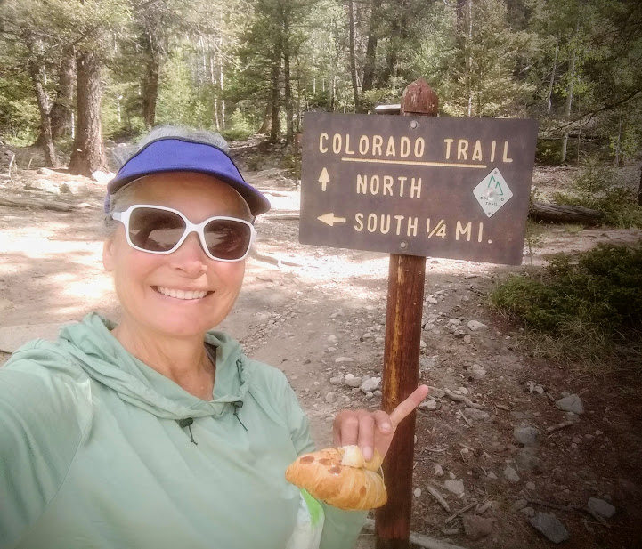
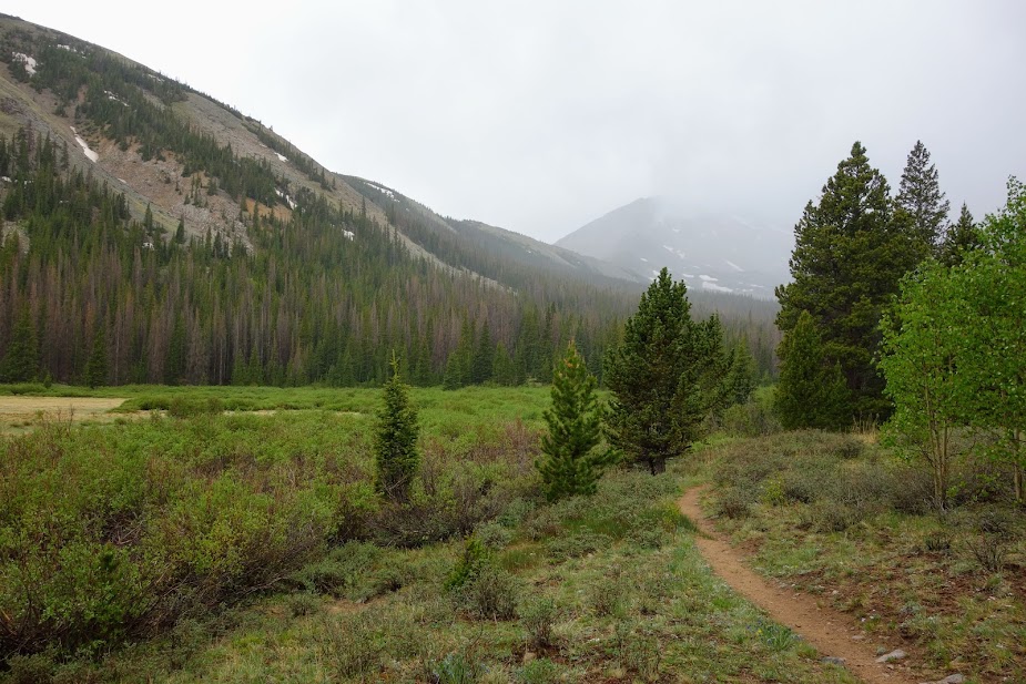
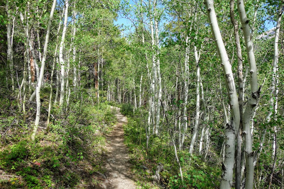
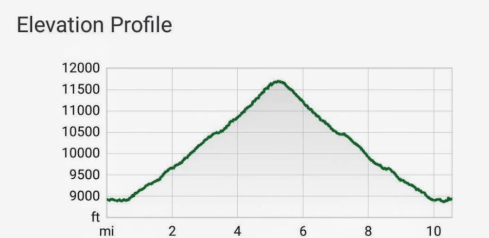
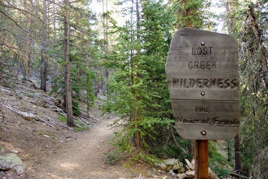
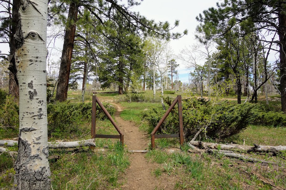
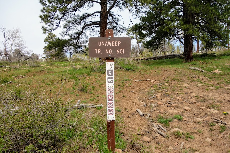
Rather than WOW per mile views, on this trip you get WILD per mile experiences. You’ll earn your views and grub by navigating your way through overgrowth, tree debris fields, and faint to non-existent trails. This is a place to find solitude. Over 5 days I crossed paths with 5 hikers. Intrigued?

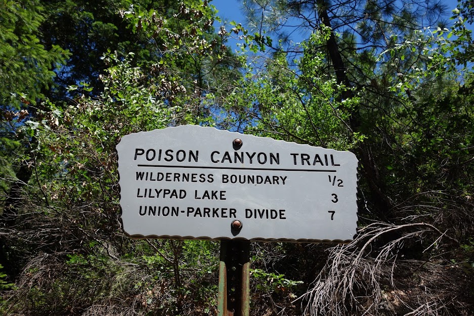
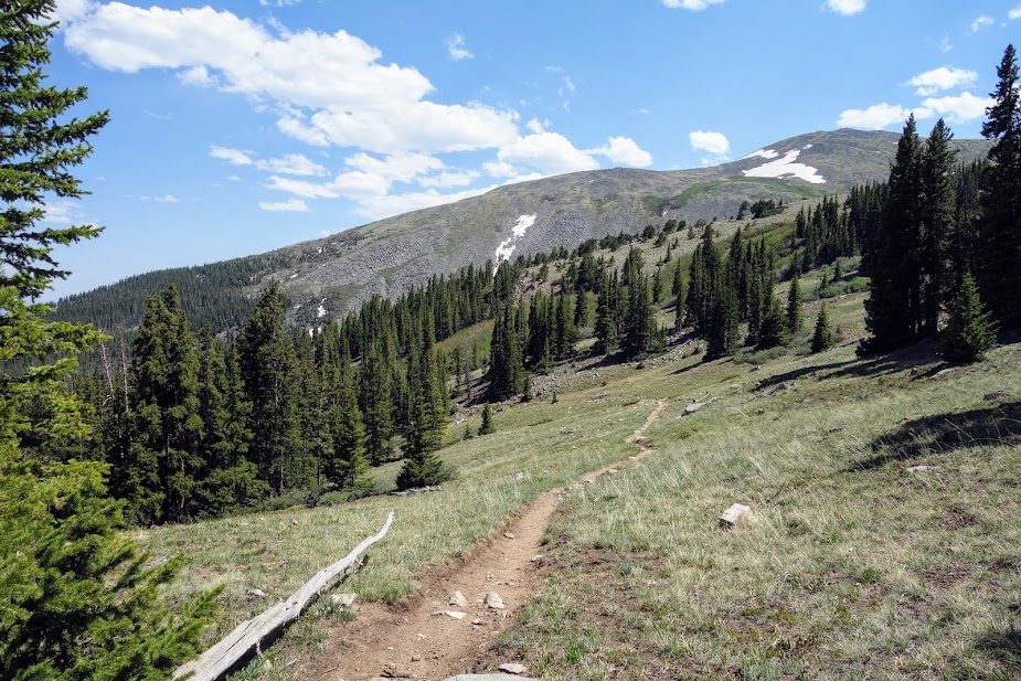
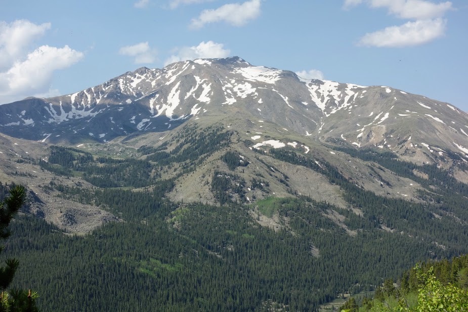
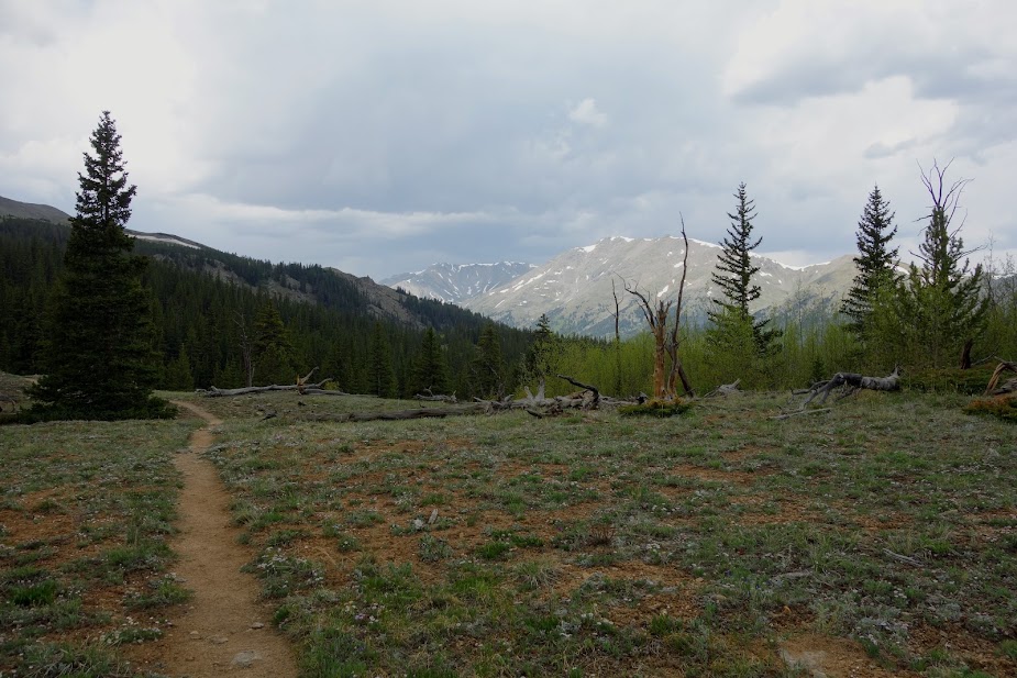
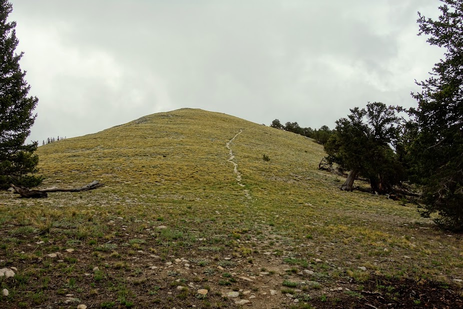
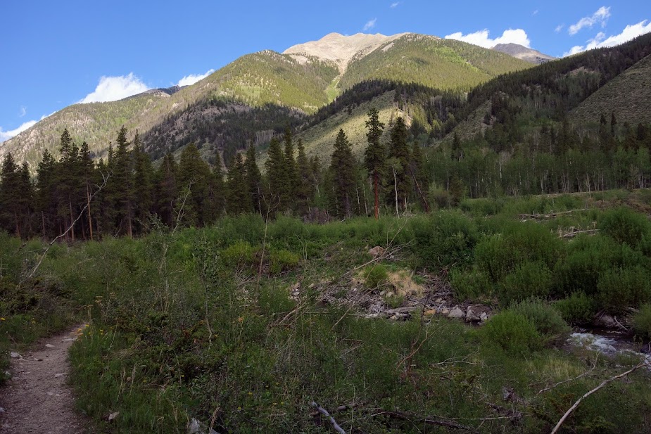
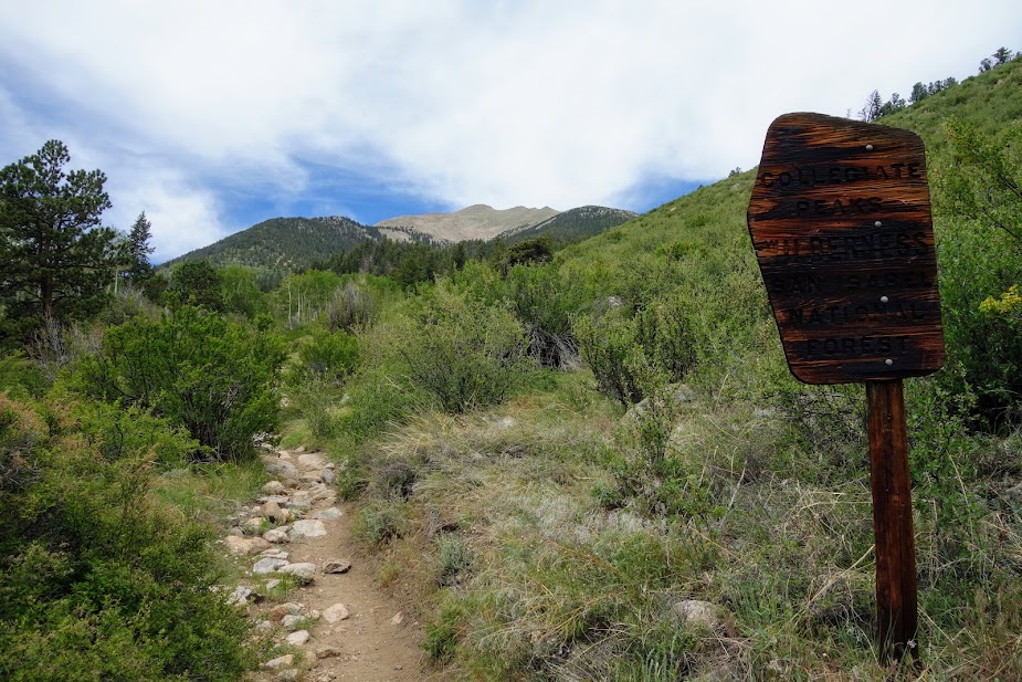
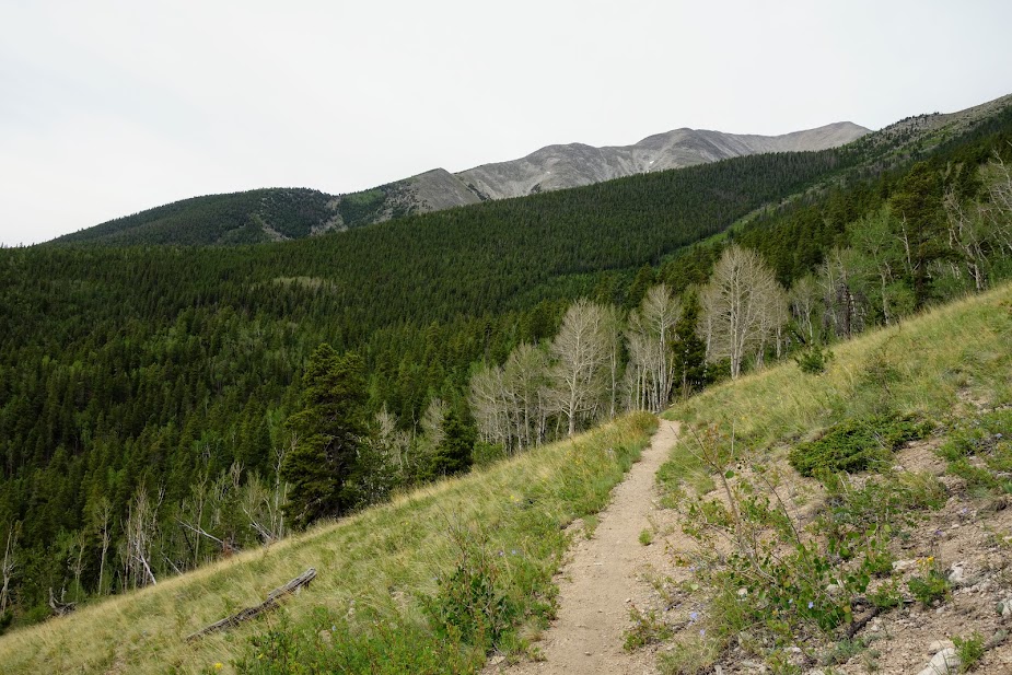
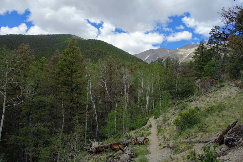
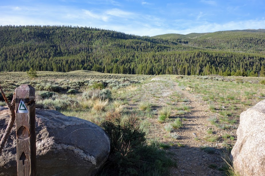
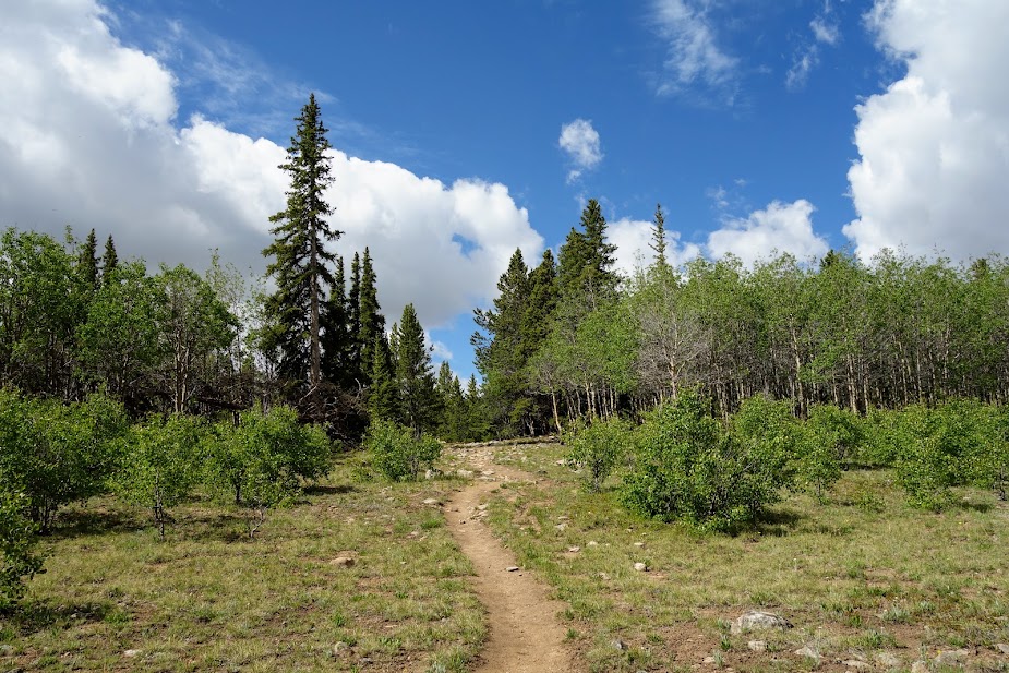
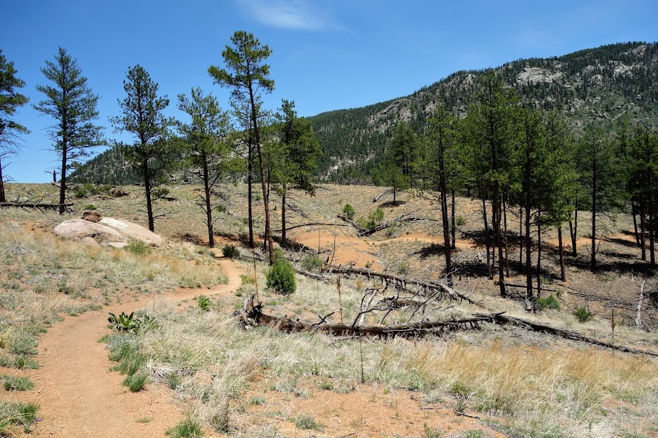
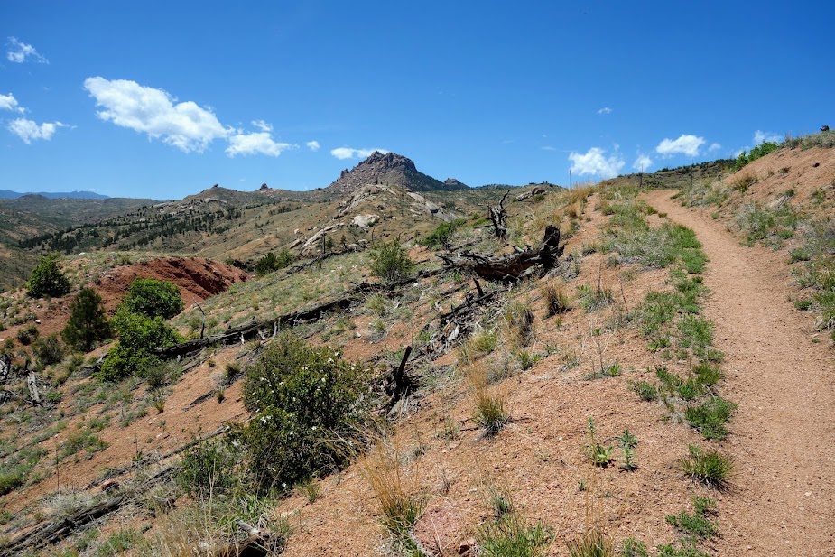
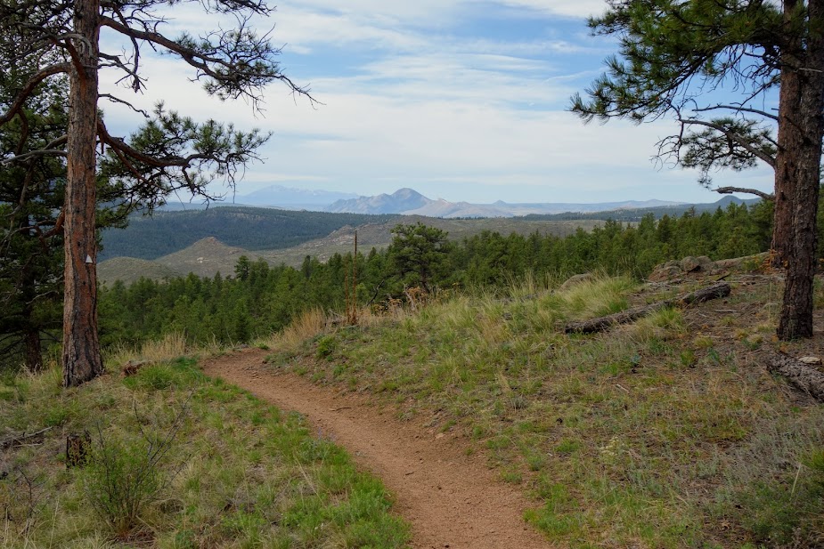
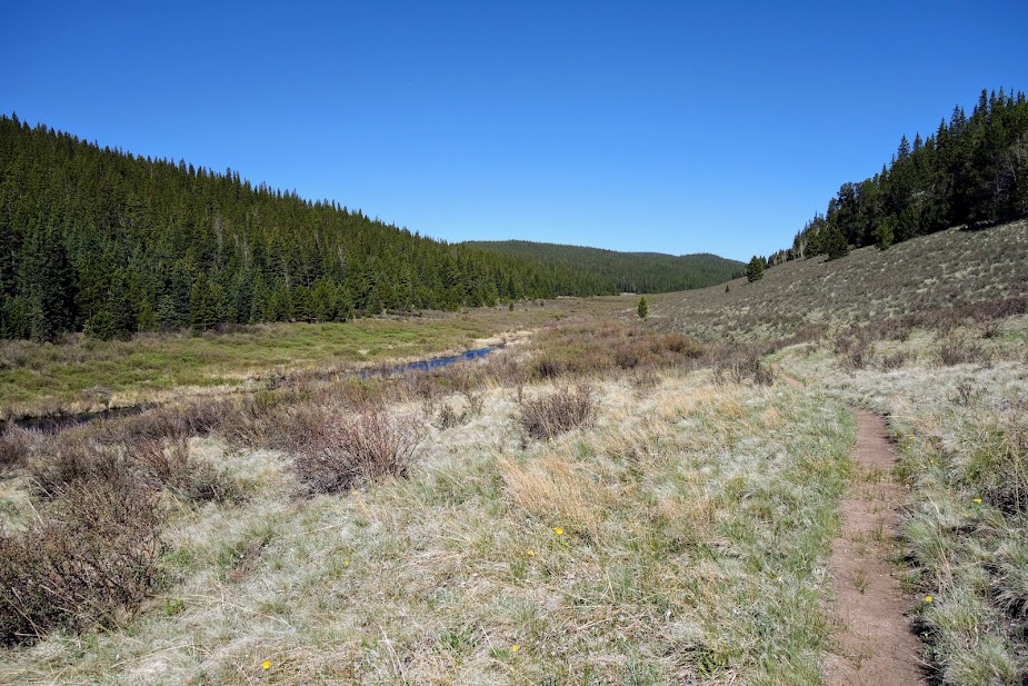
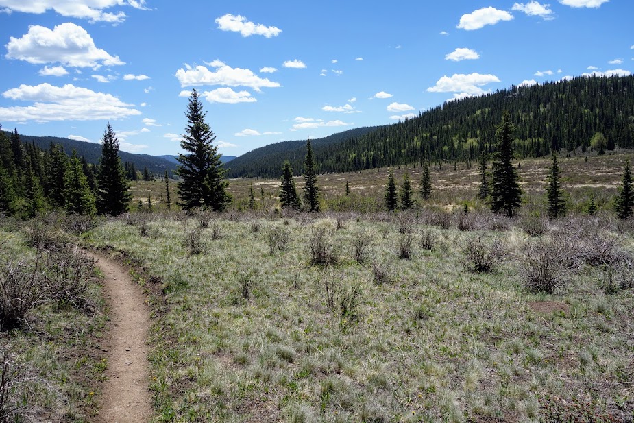
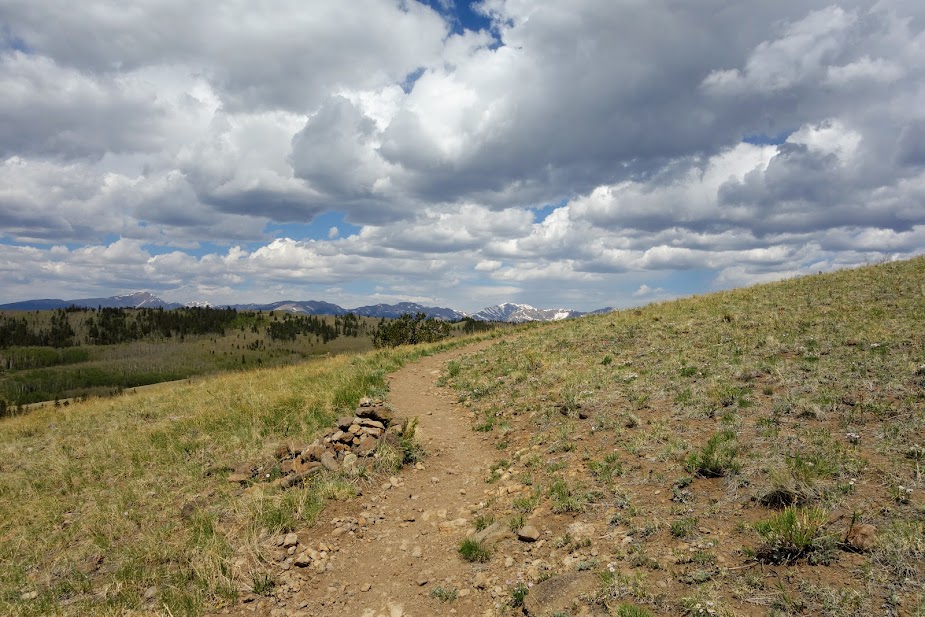
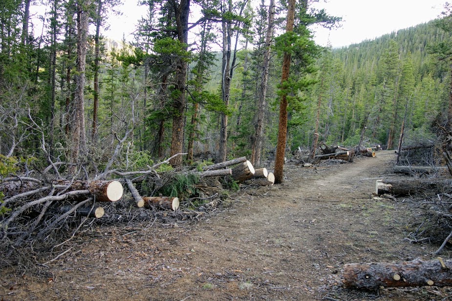
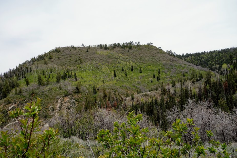
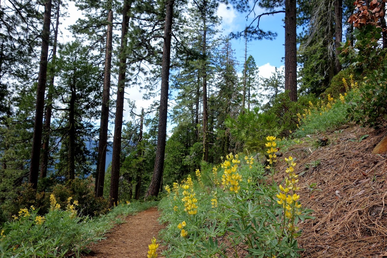
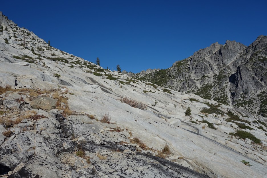
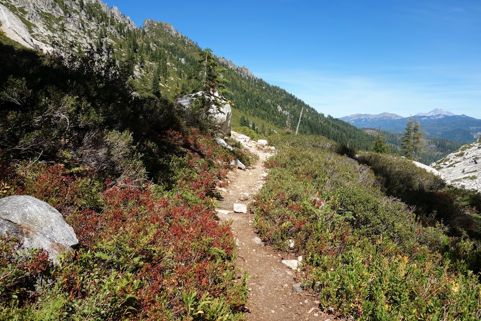
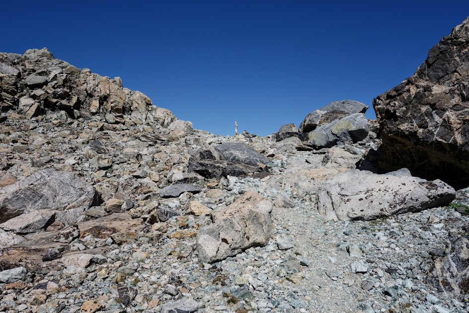
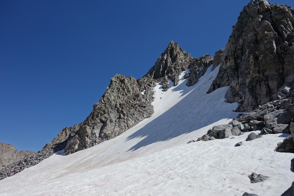
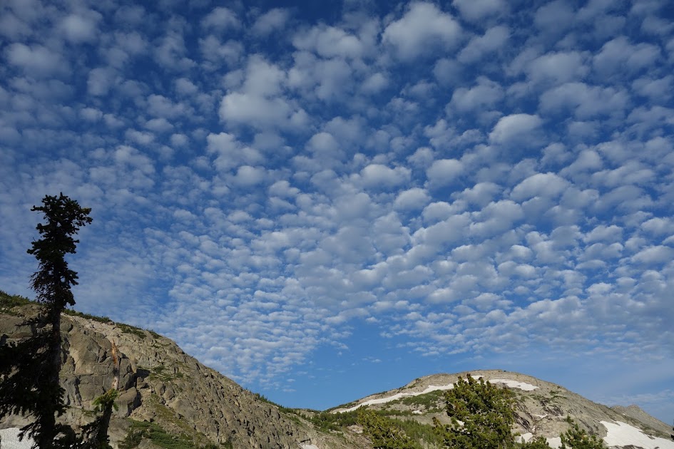
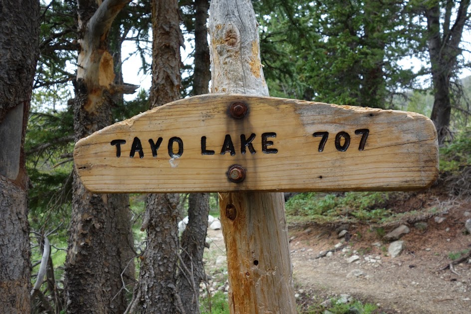
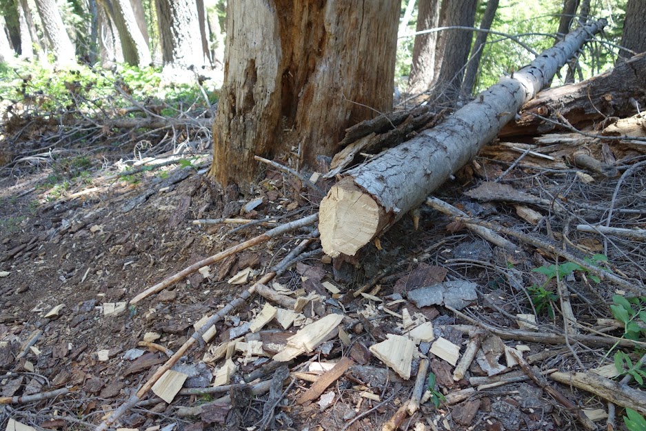
I read somewhere that conditions had been improved on the Lilypad Lake/Thumb Rock Loop somewhat recently. I found a few cut logs as evidence on the way up to the junction. The trail steadily climbs from 4,100′ elevation at the trailhead to finally this first view of Ycatapom Peak.

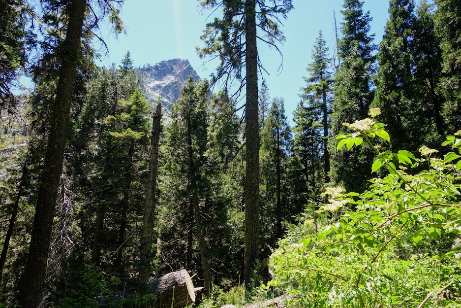
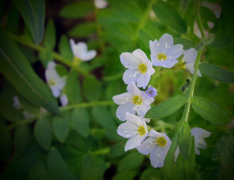
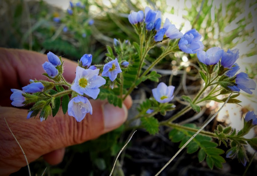
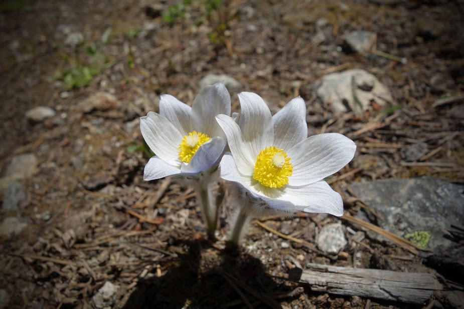
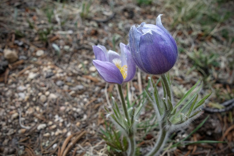
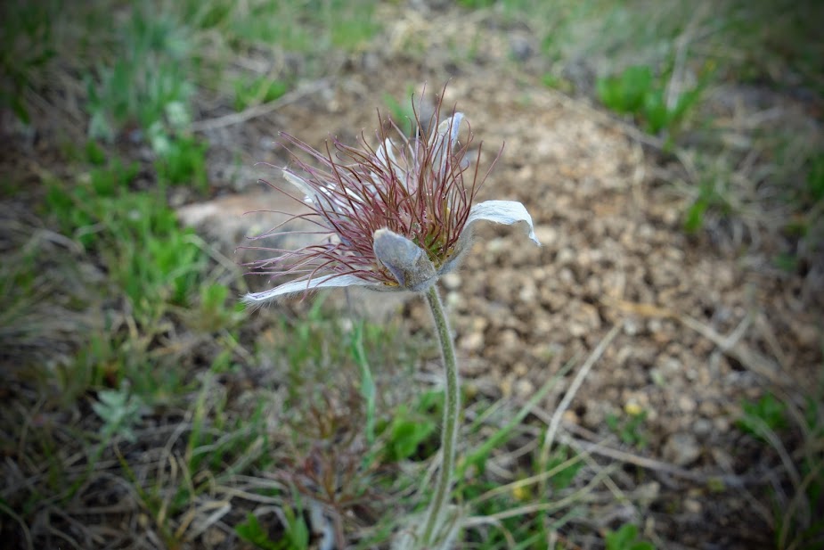
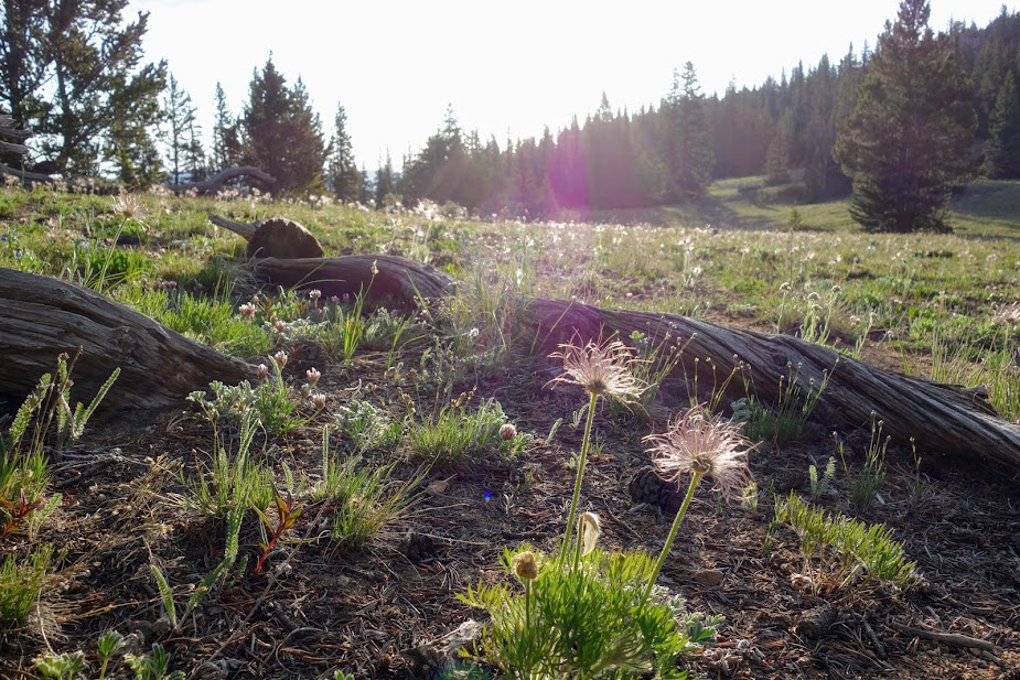
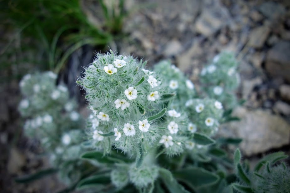
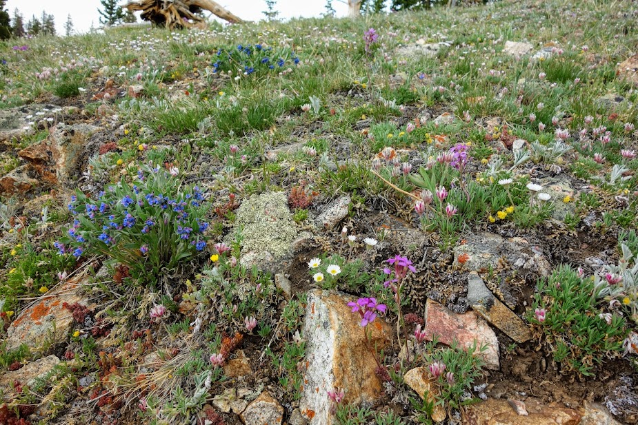
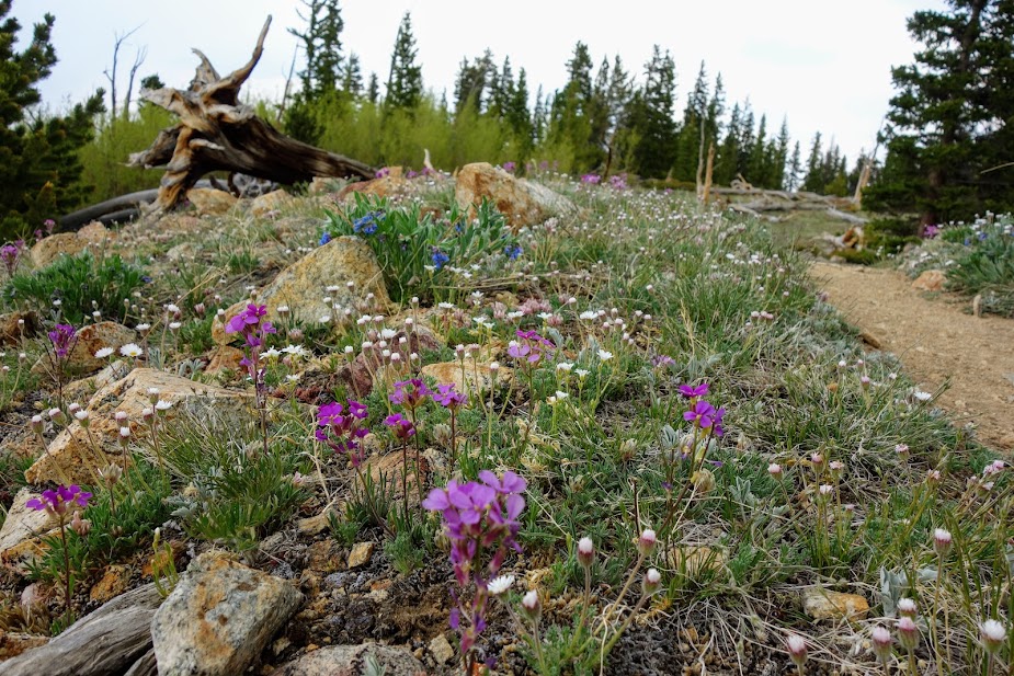
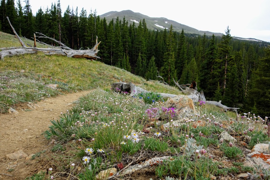
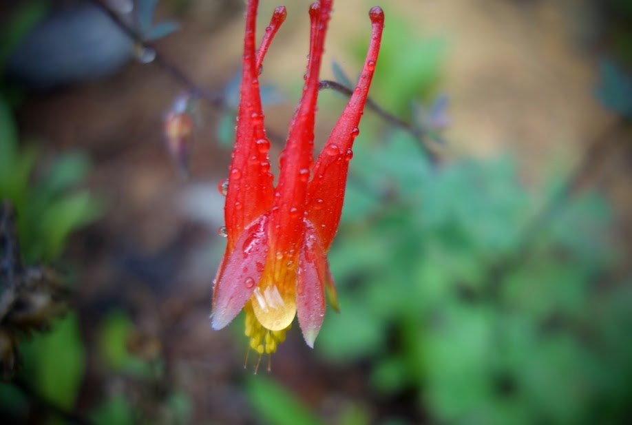
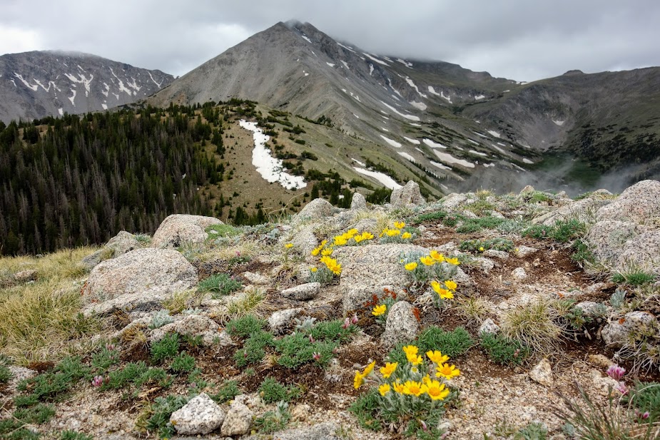
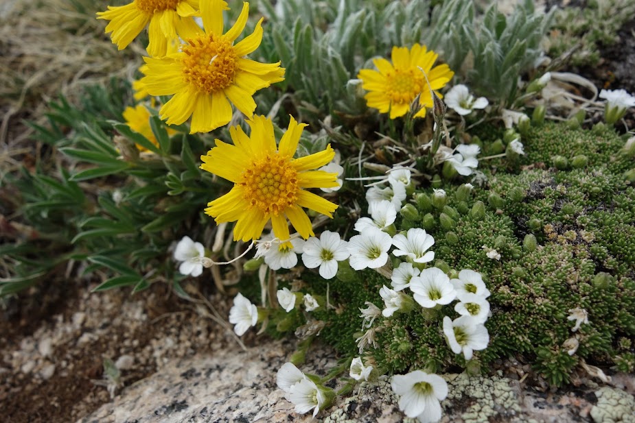
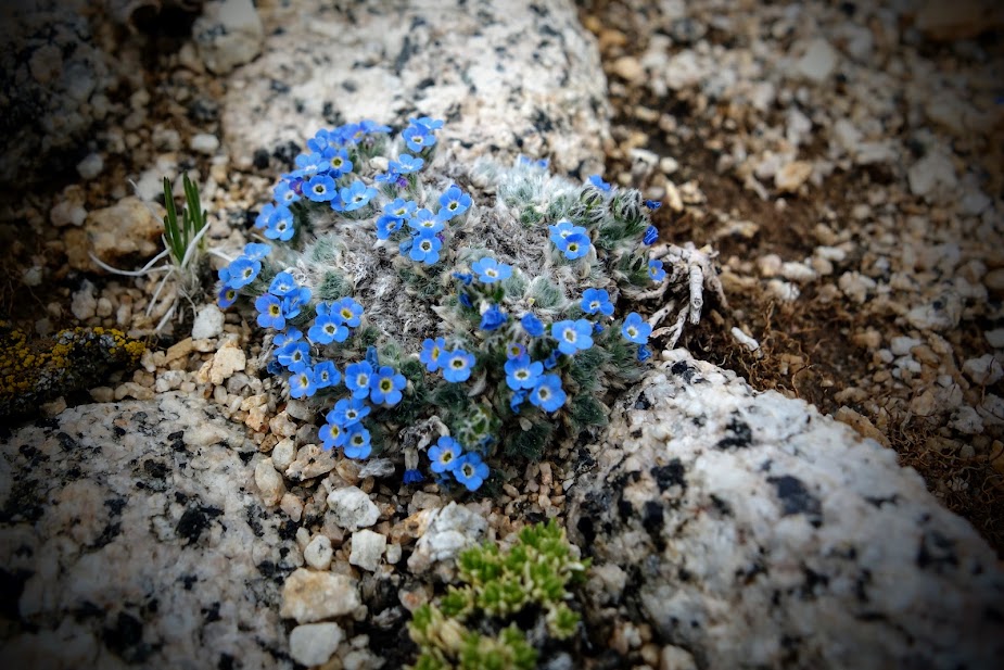
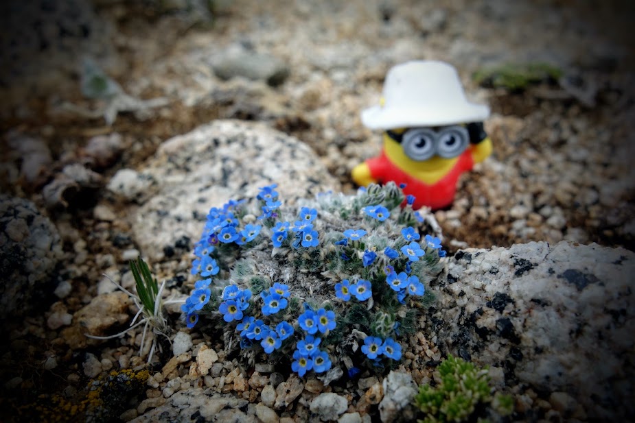
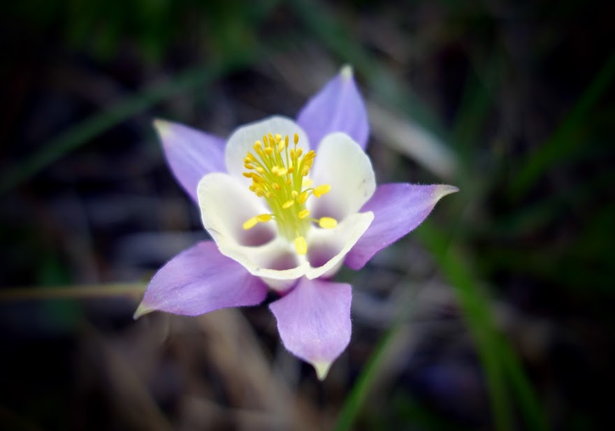
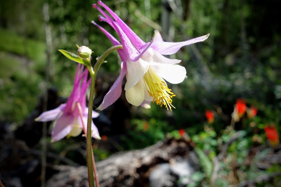
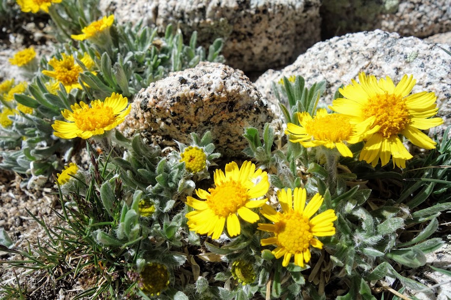
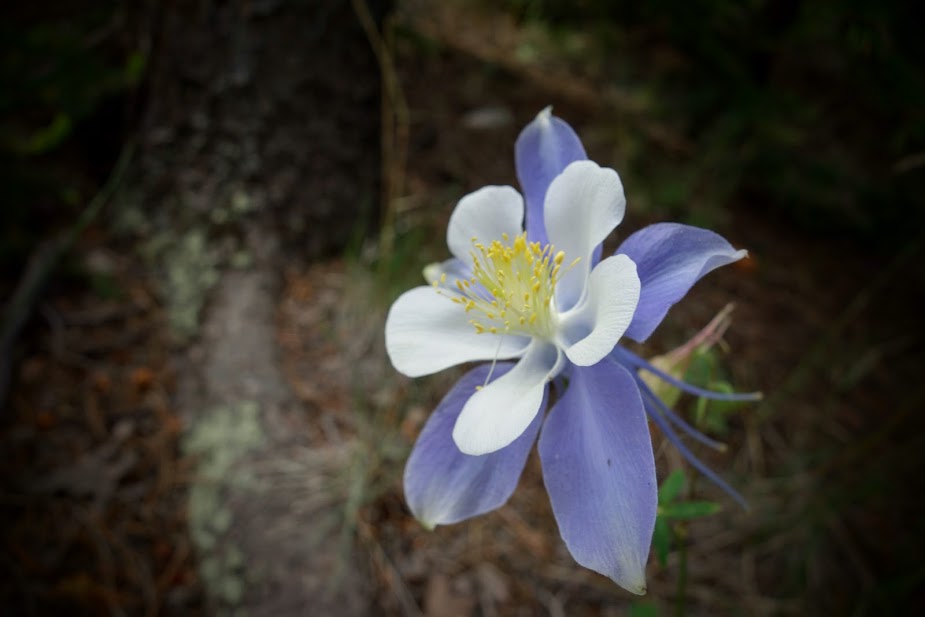
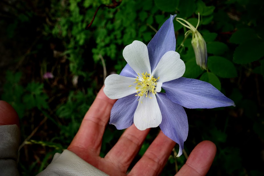
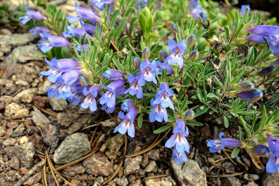
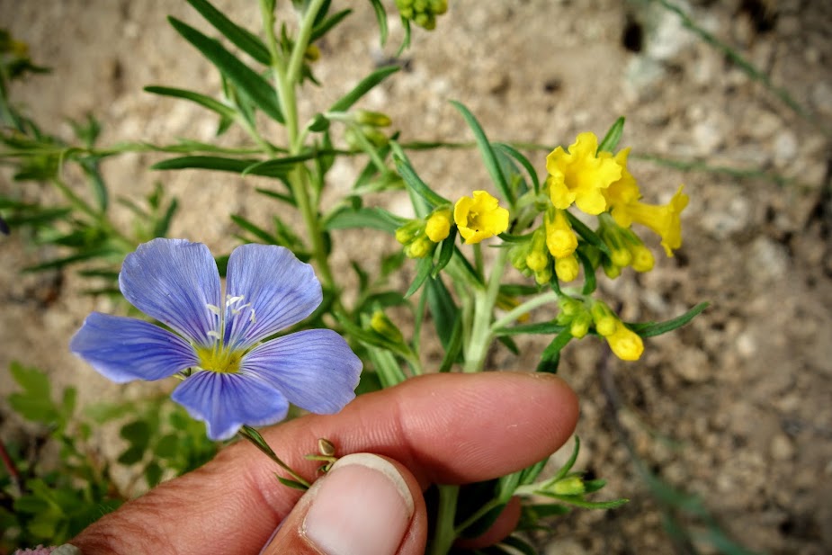
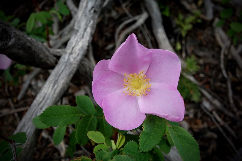
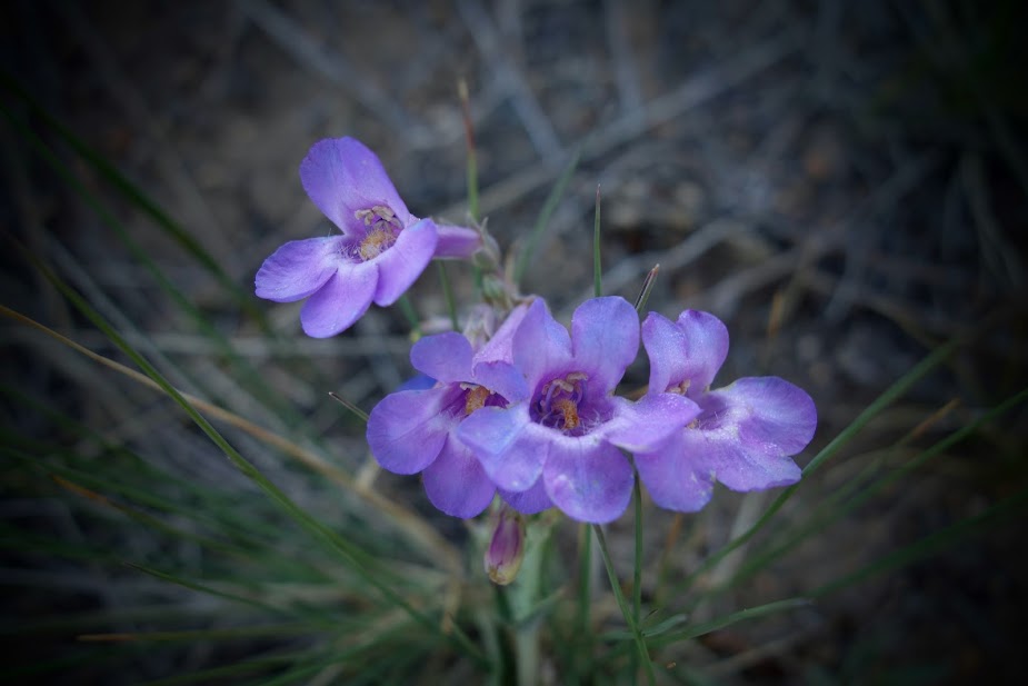
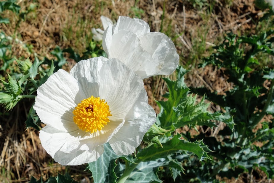
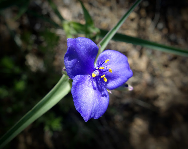
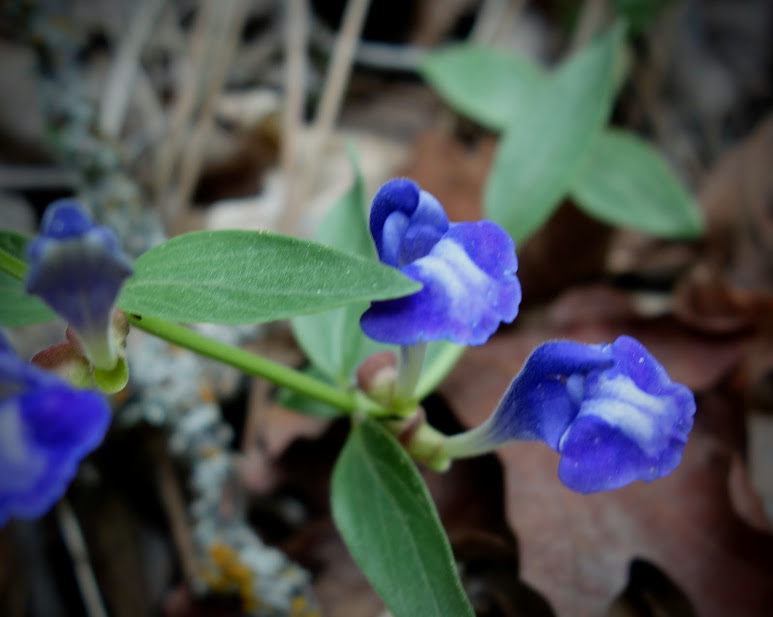
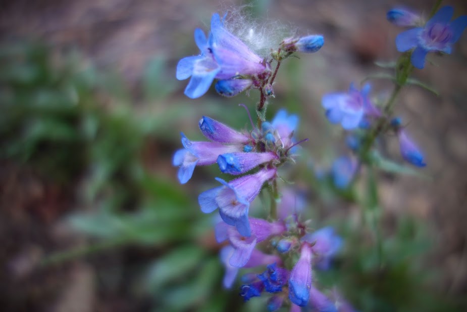
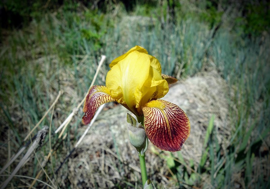
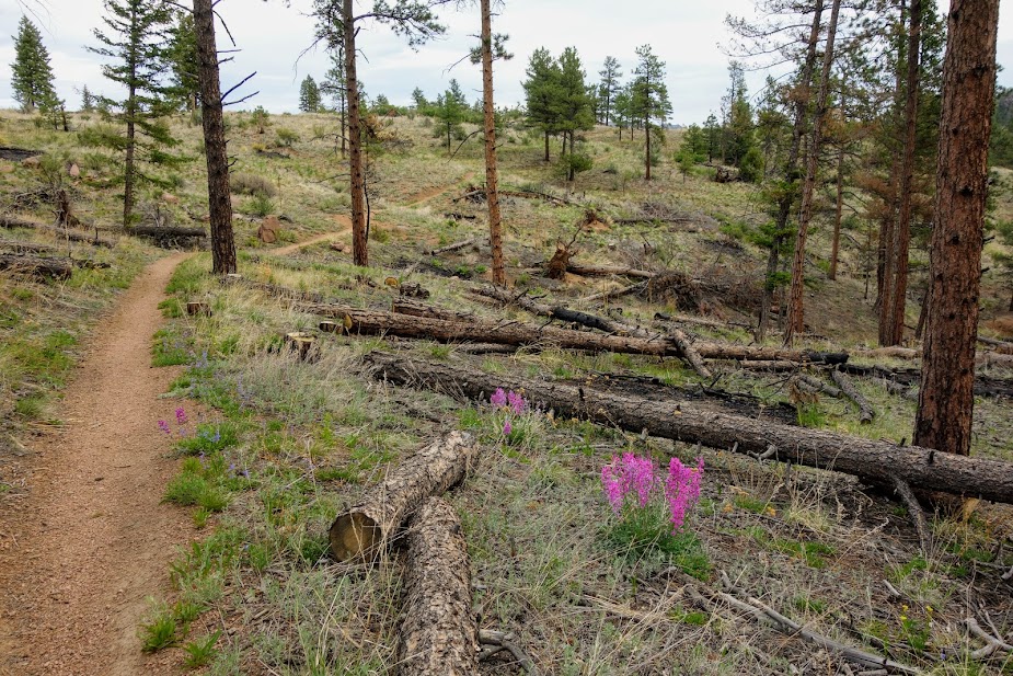
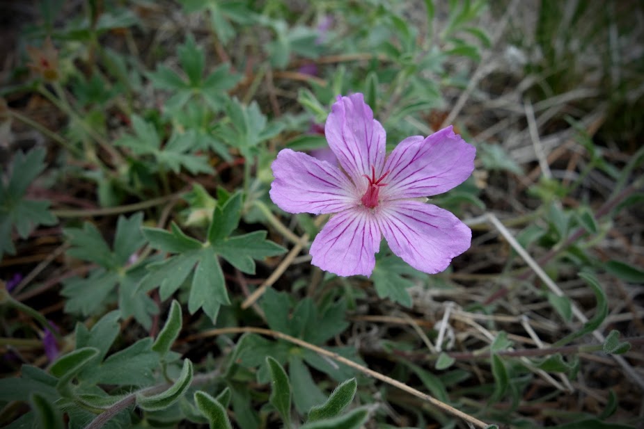
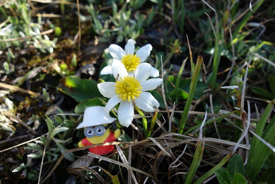
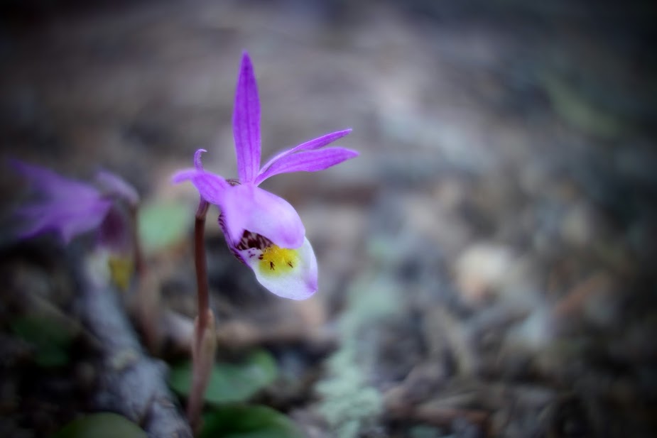
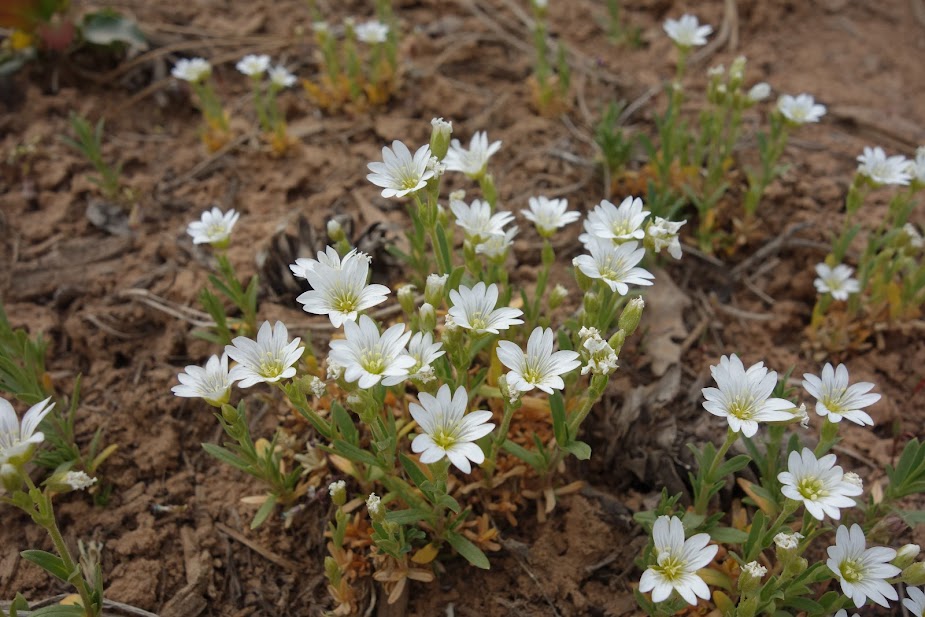
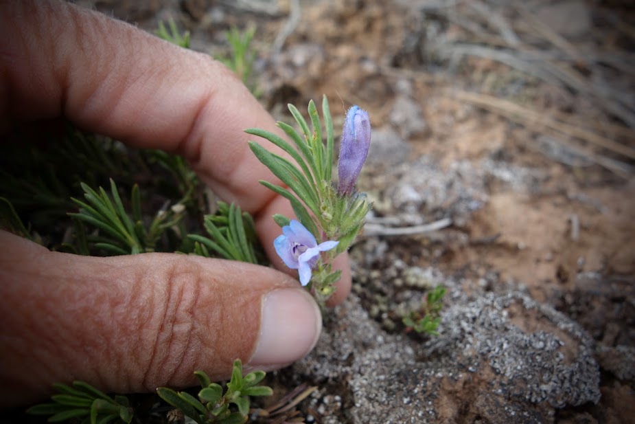
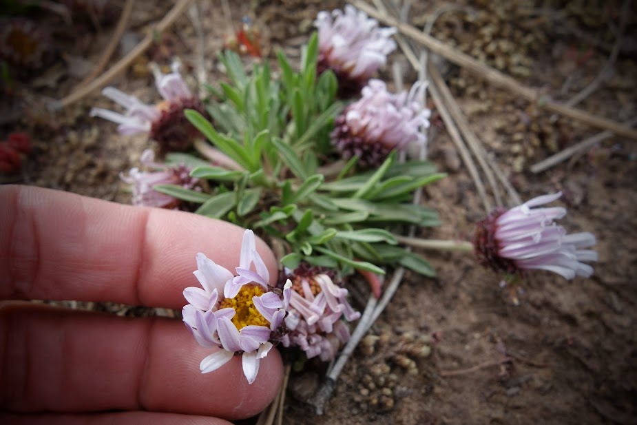
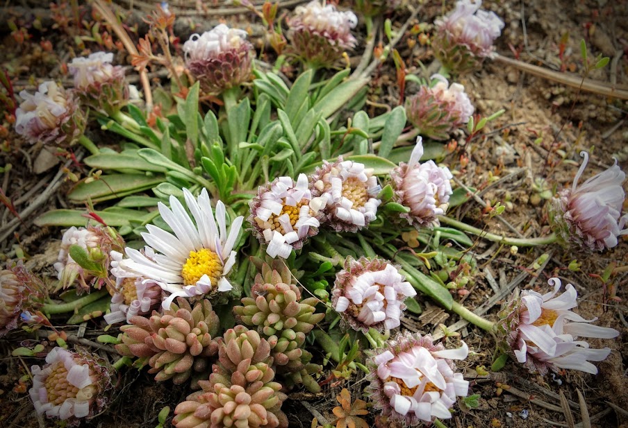
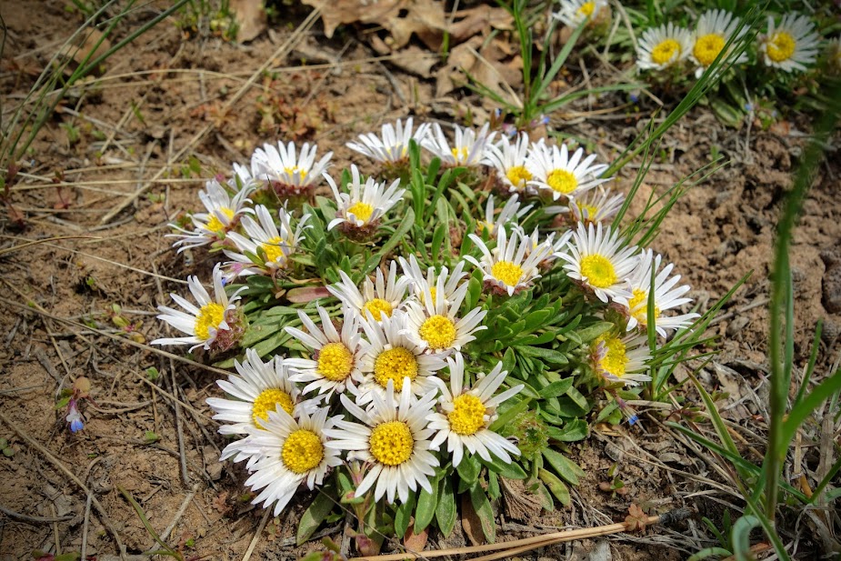
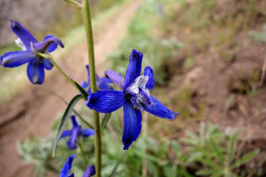
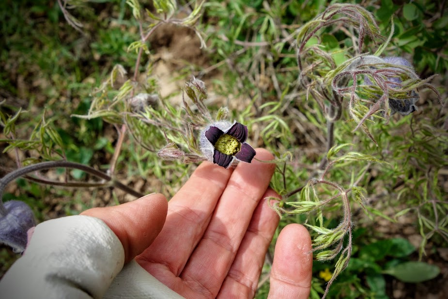
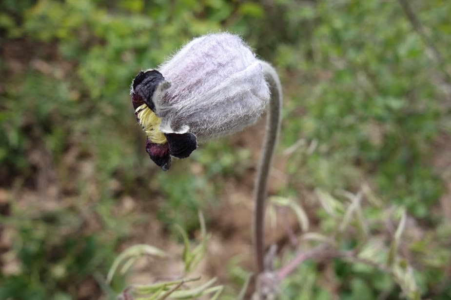
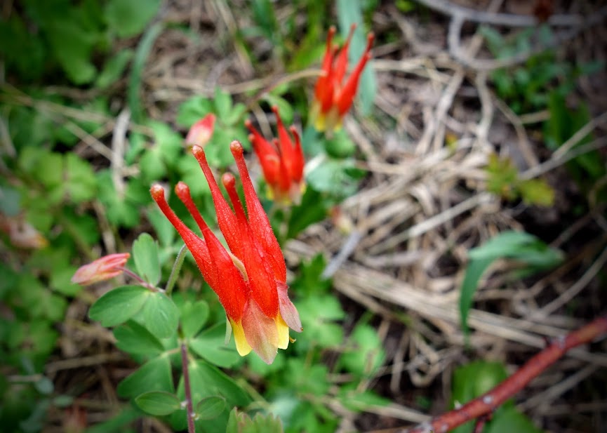
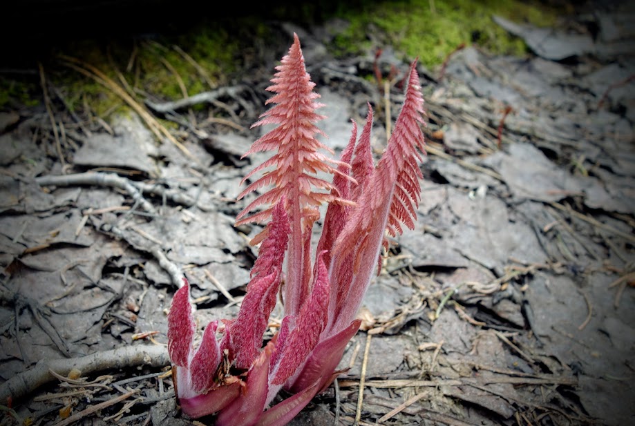
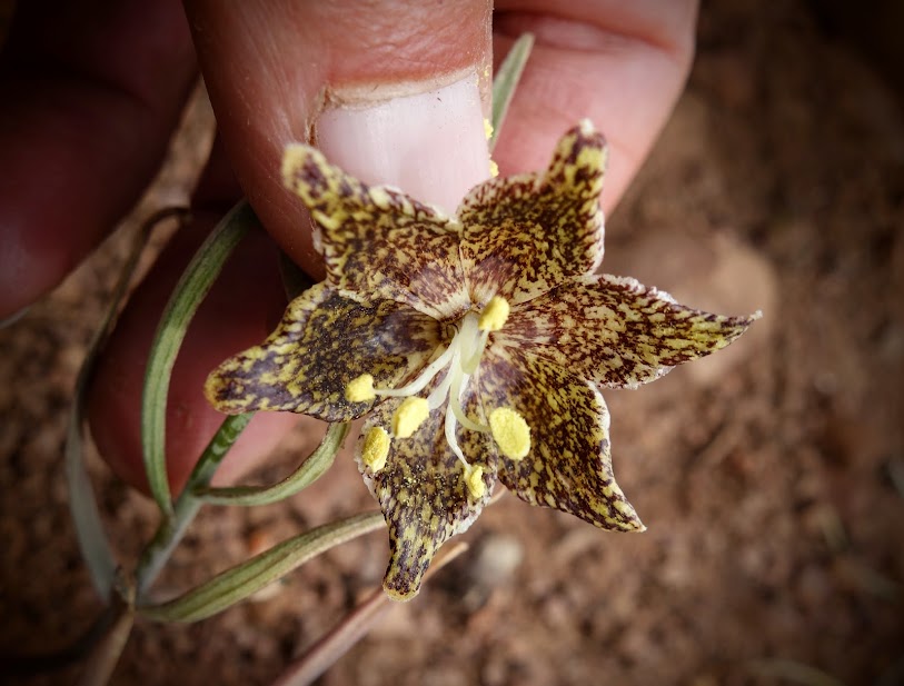
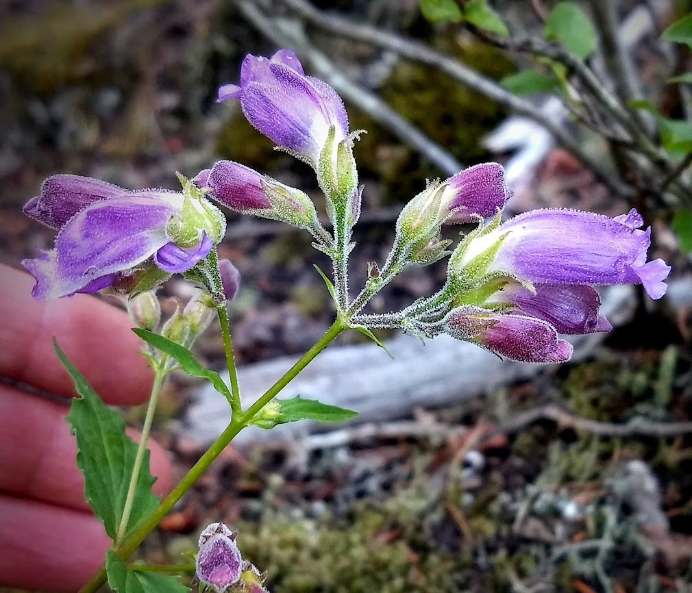
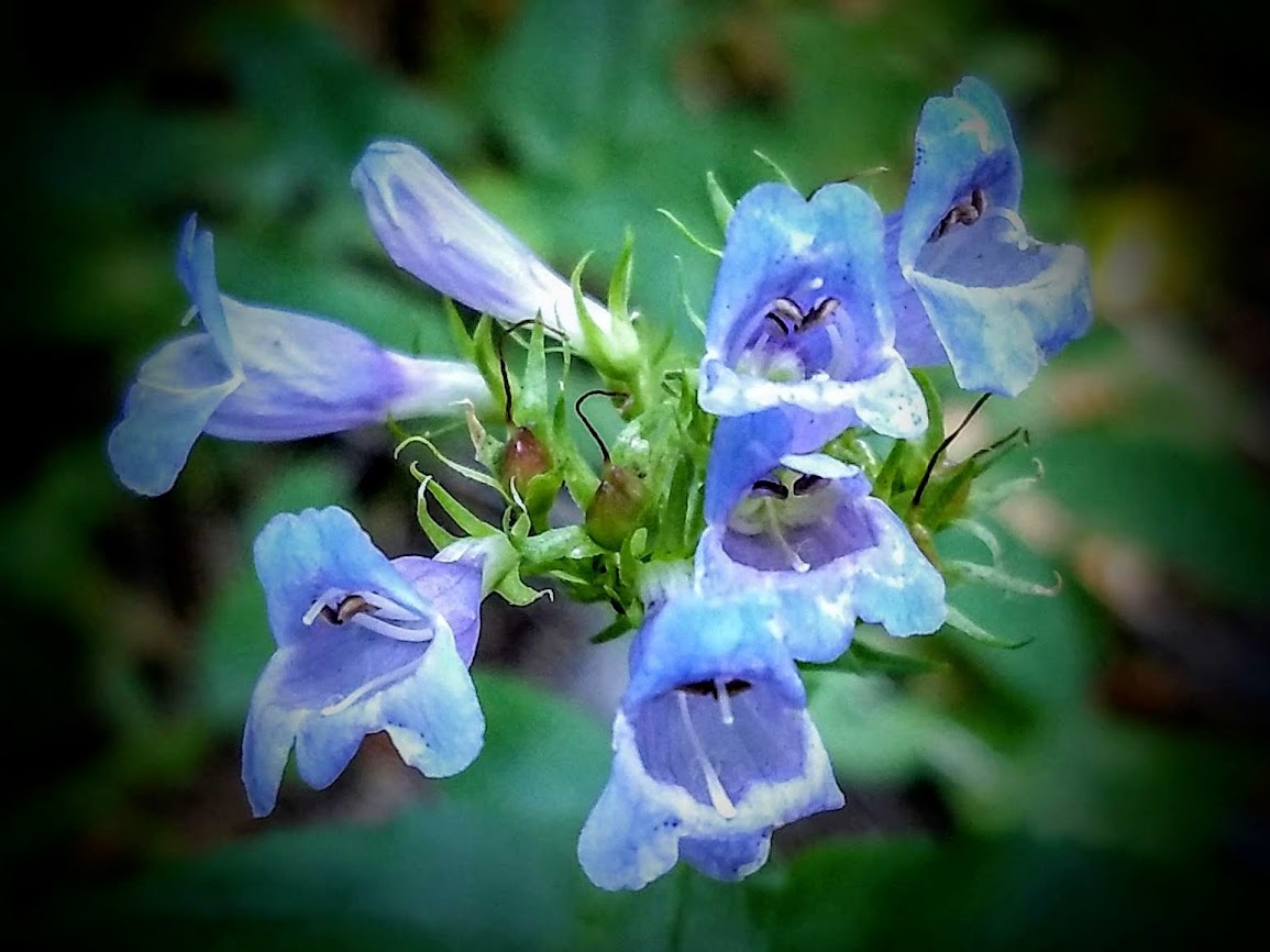
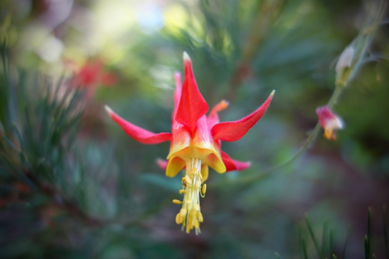
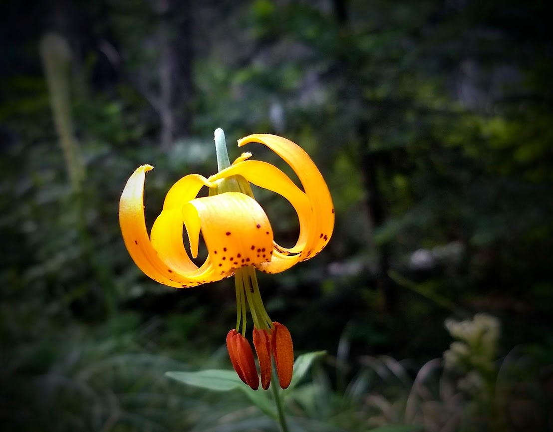
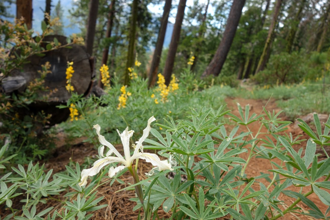
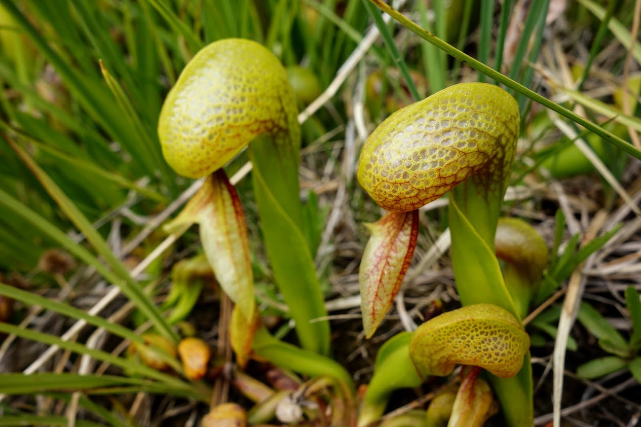
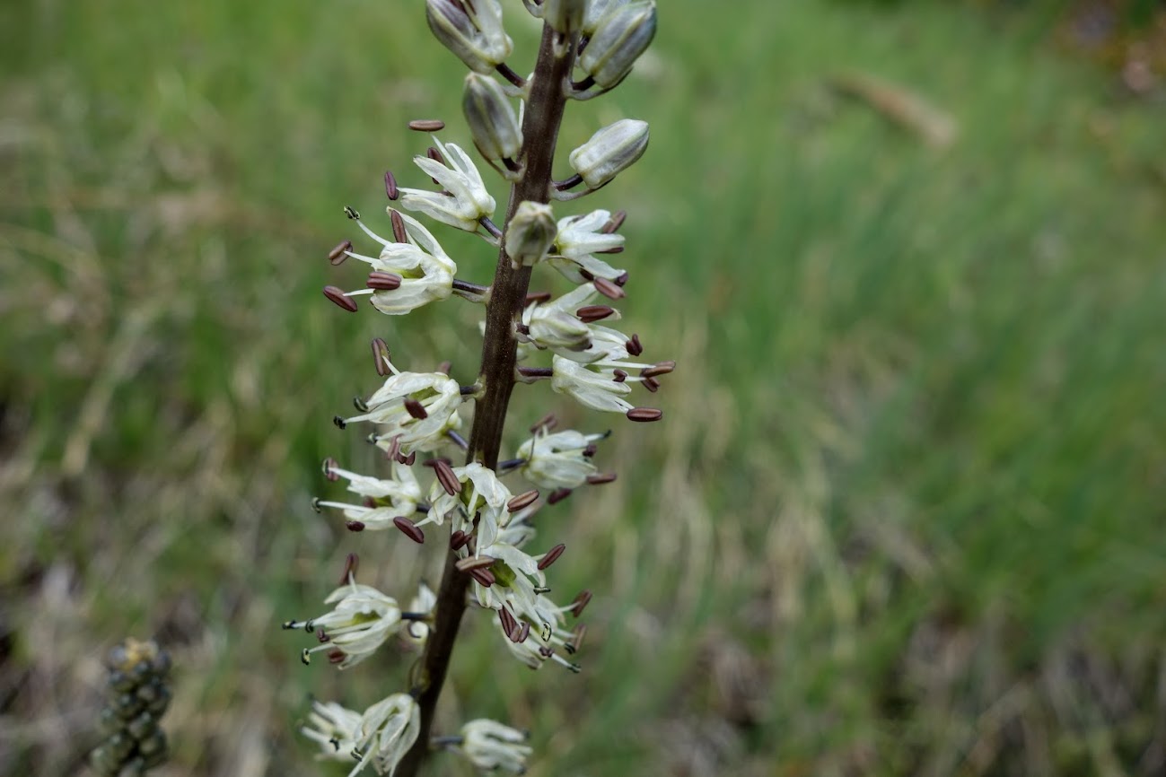
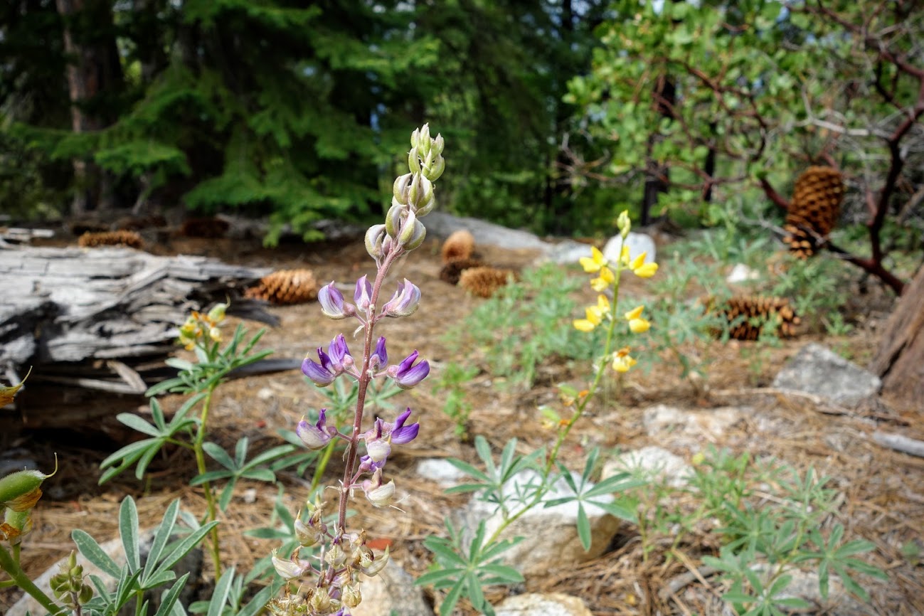
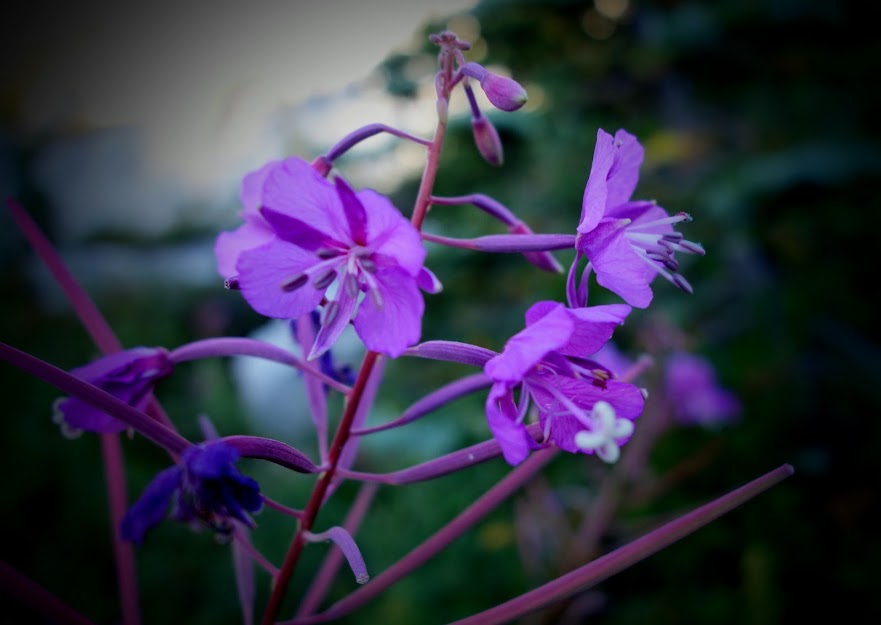
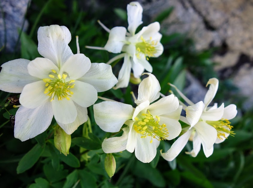
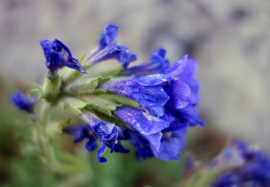
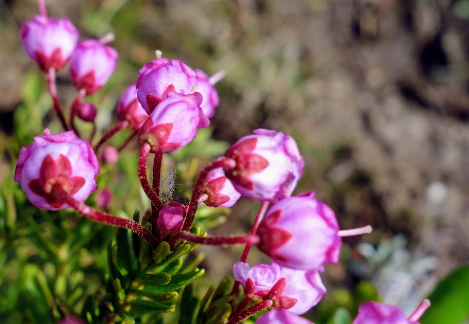
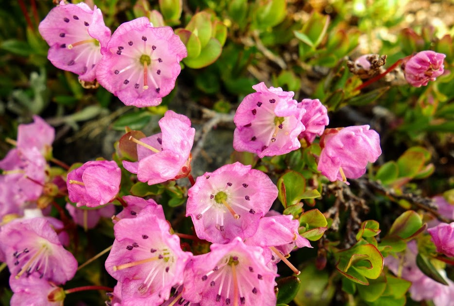
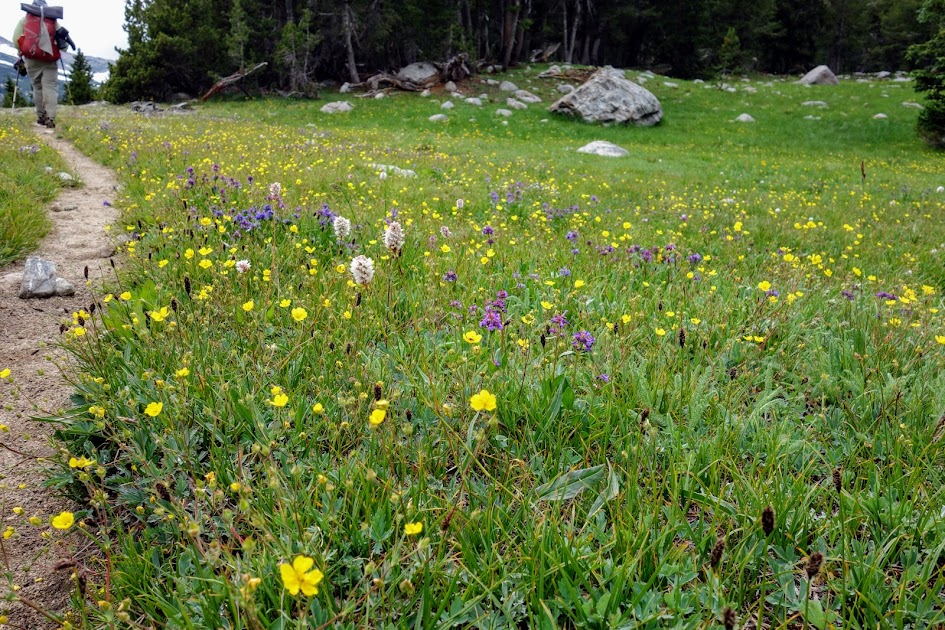
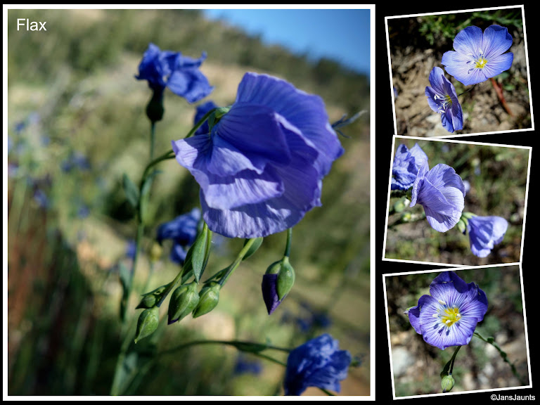
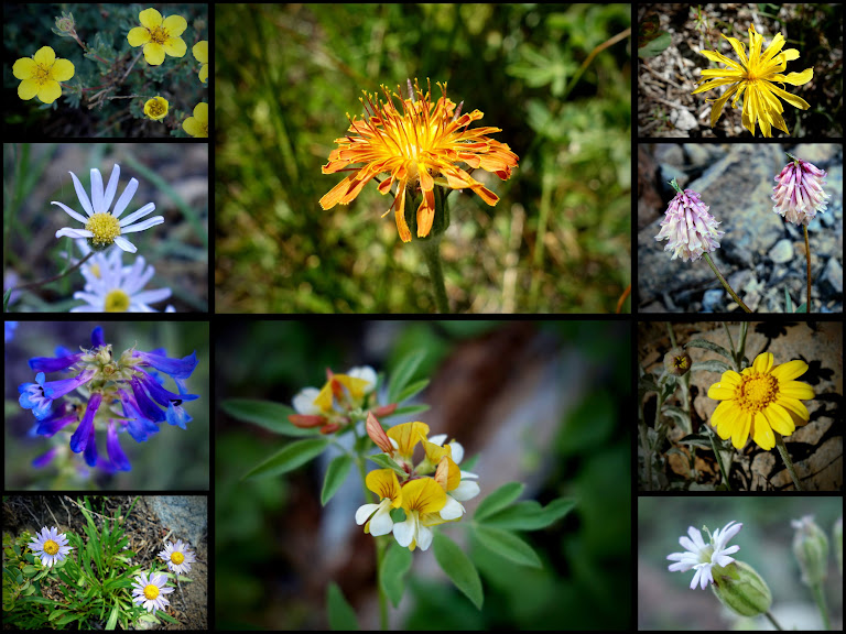
While getting slapped in the face a few too many times as I worked my way through the low elevation foliage, I was rewarded with these late spring early summer blooms.

Bleeding Heart

Western Prince’s Pine
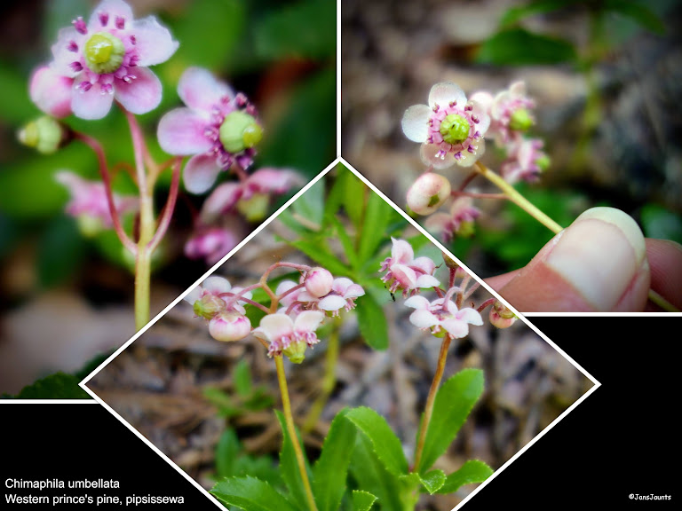
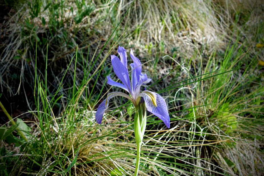
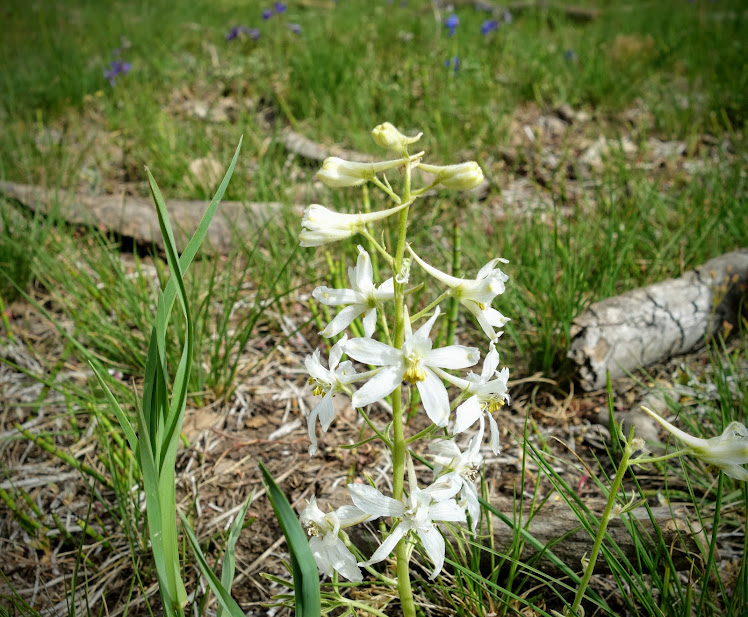
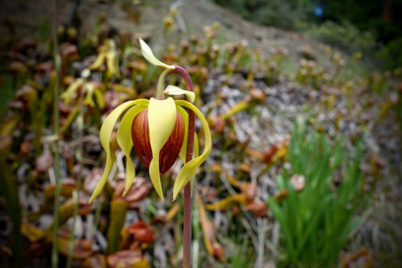
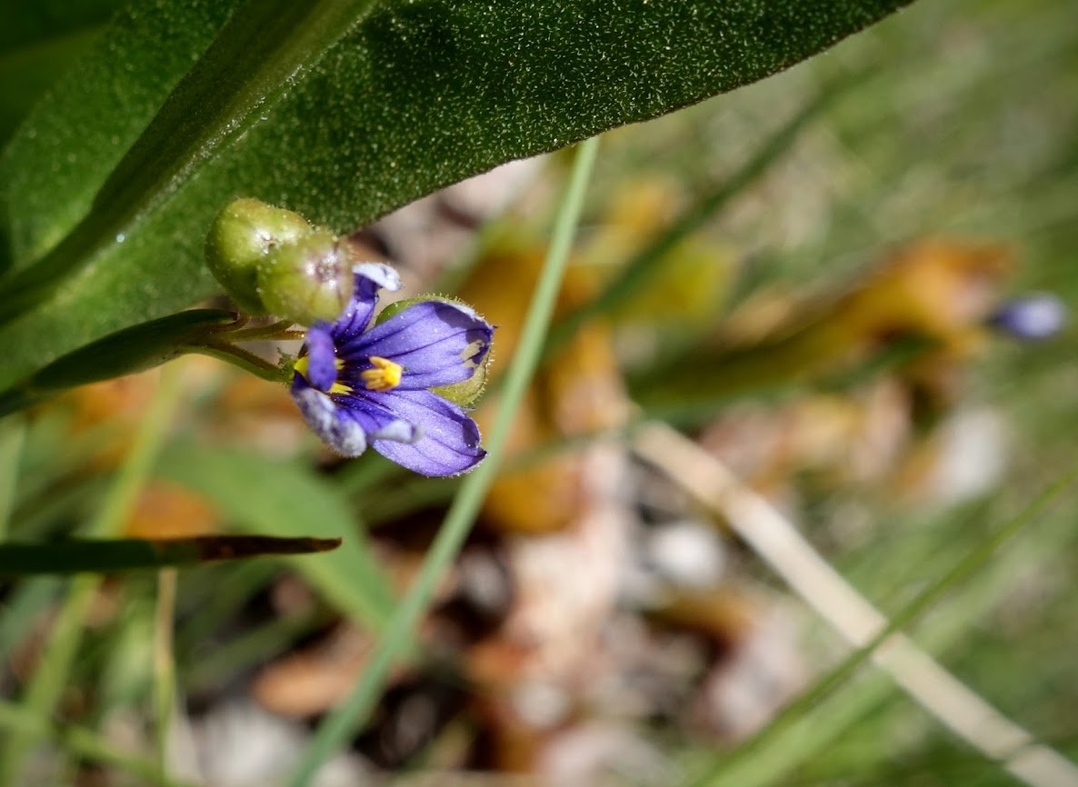
Leopard Lily

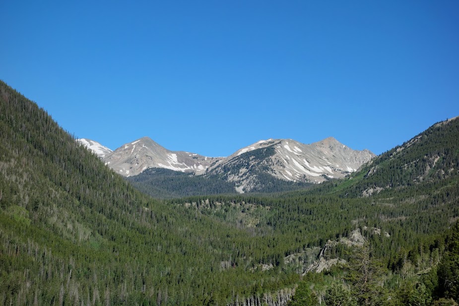
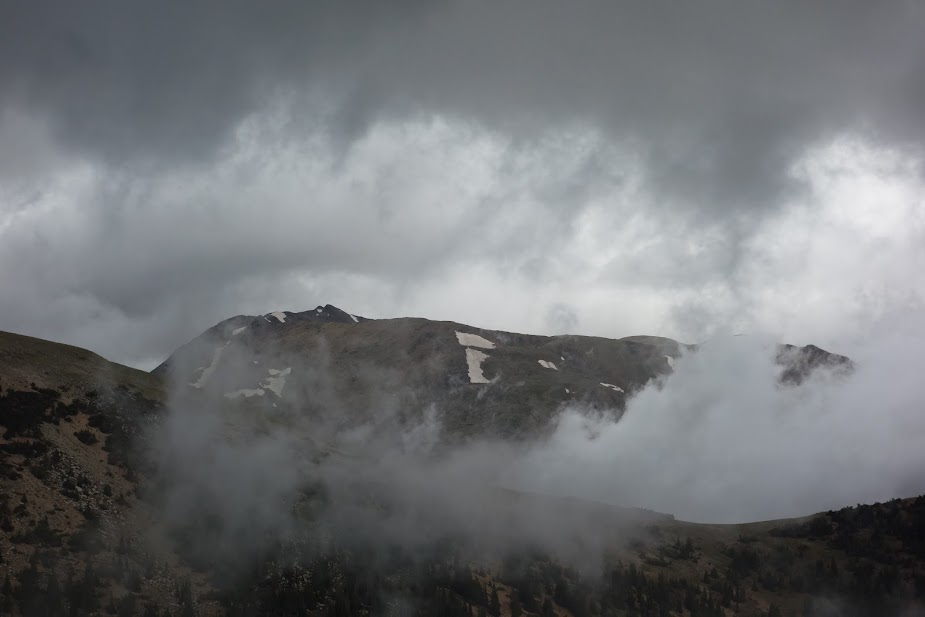
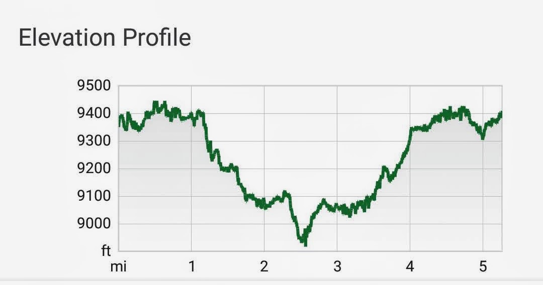
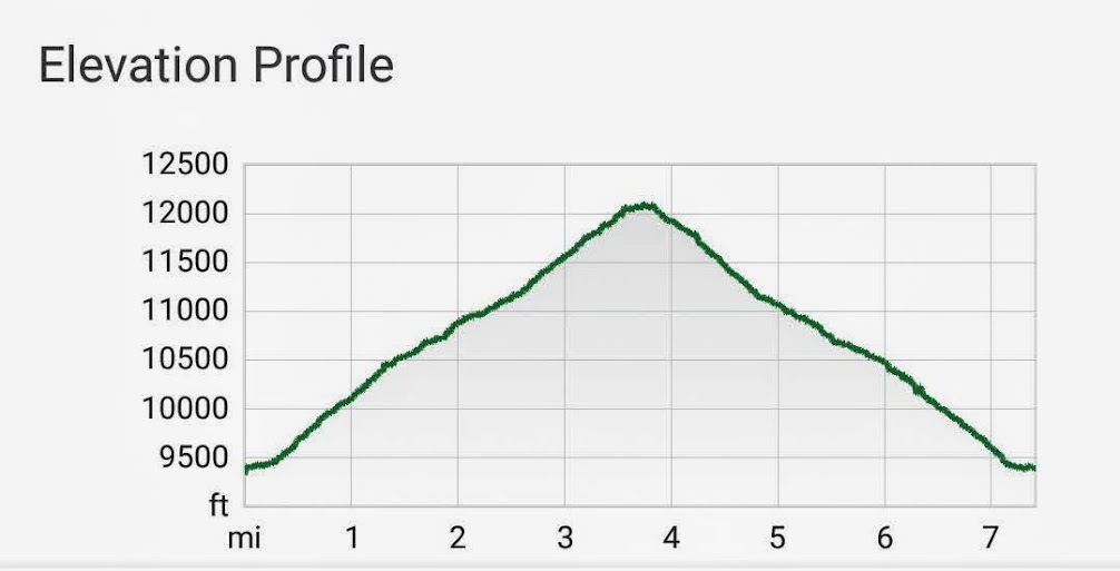
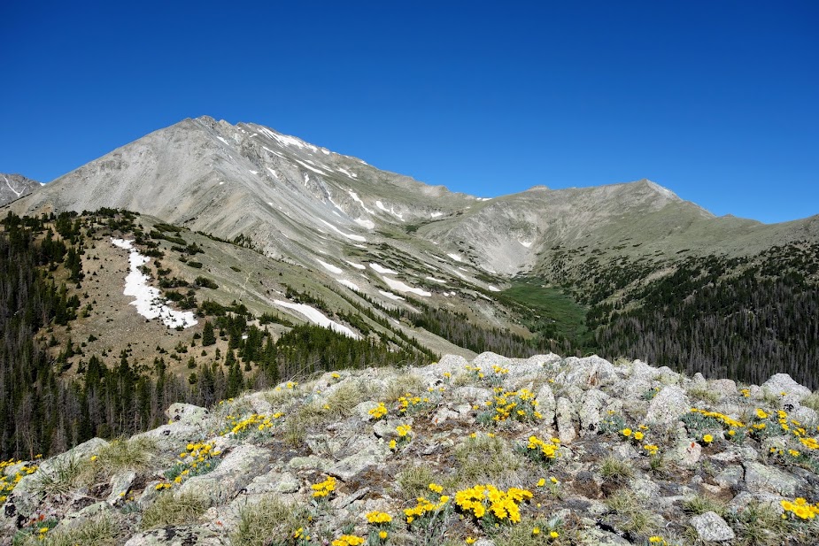
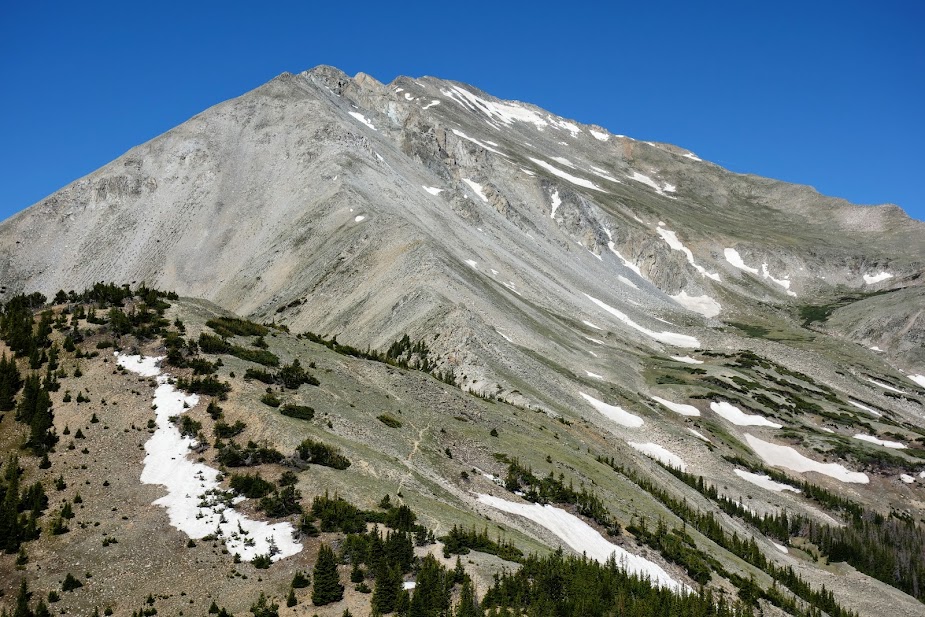
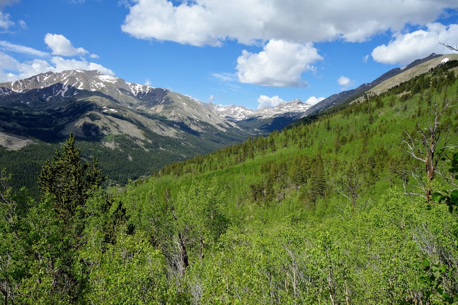
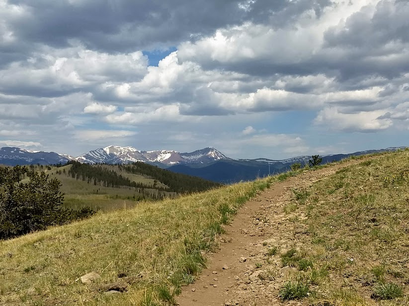
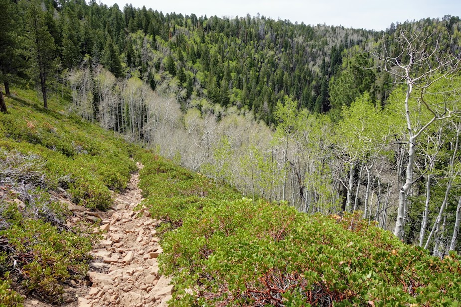
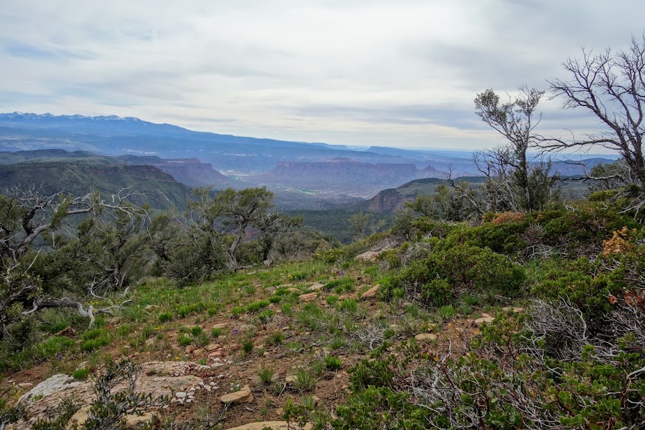
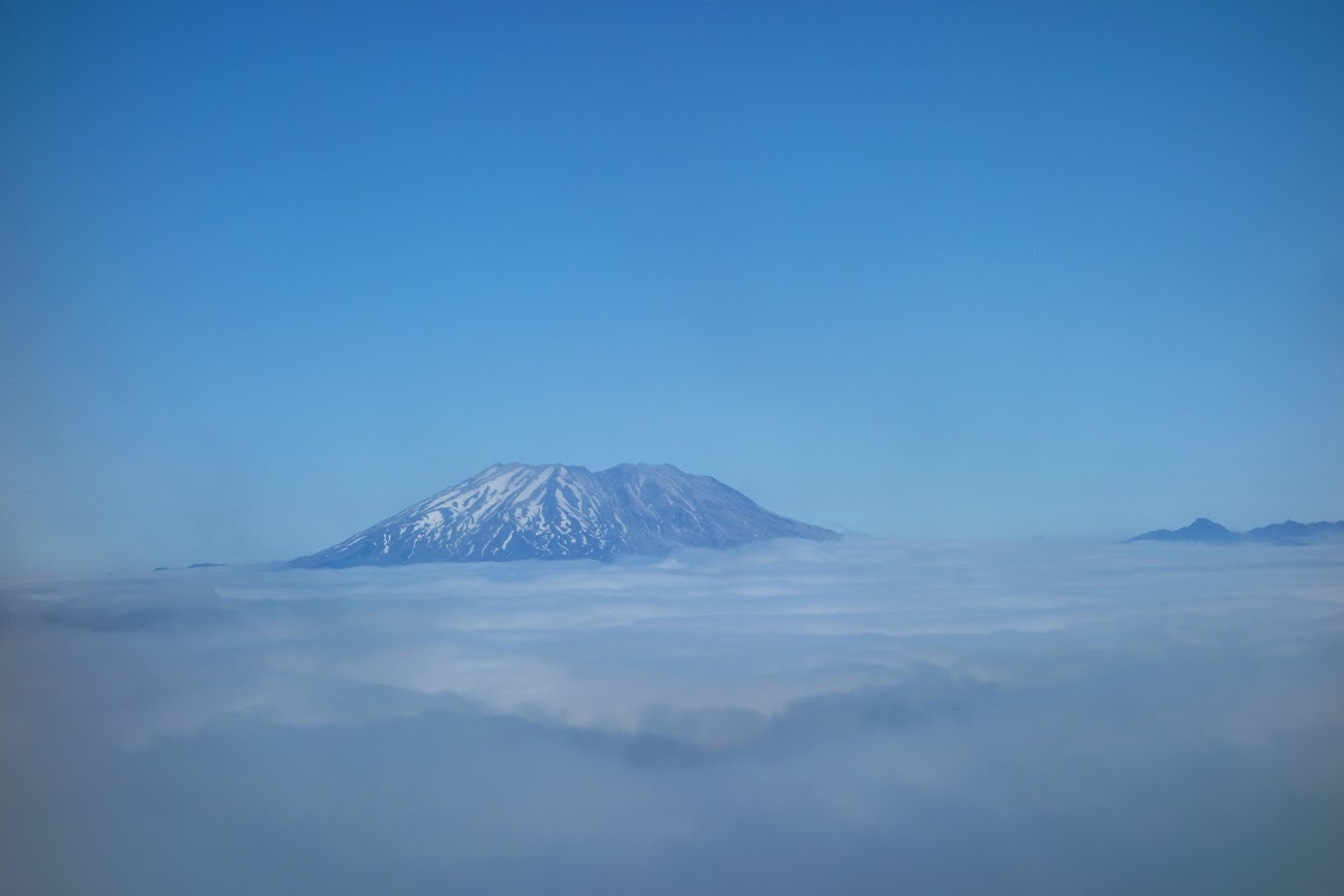
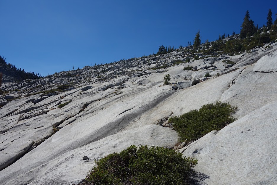
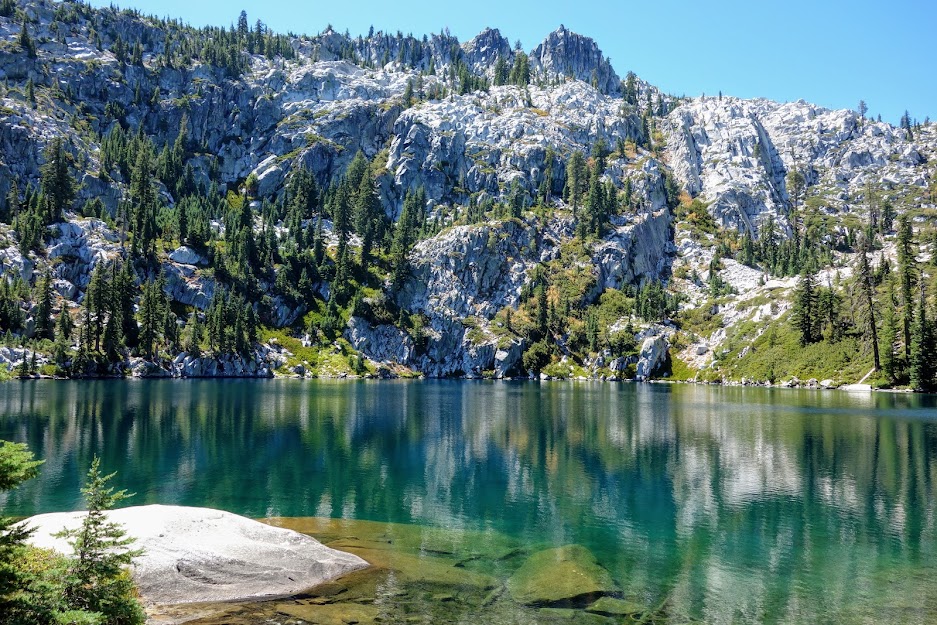
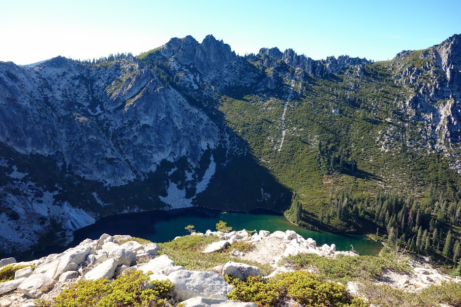
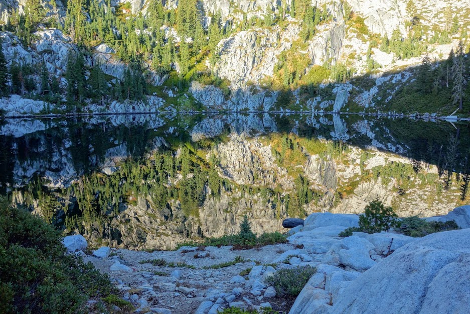
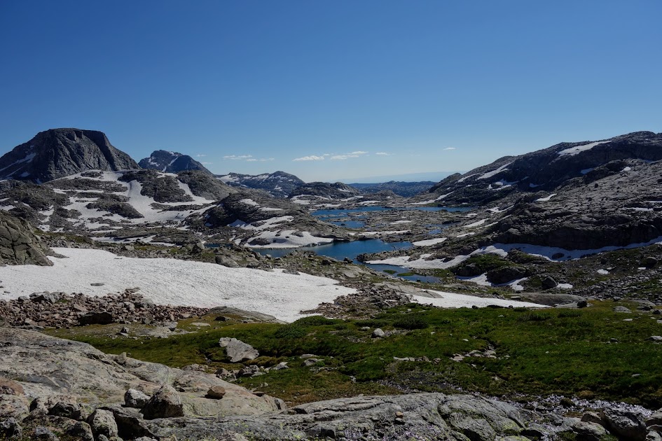
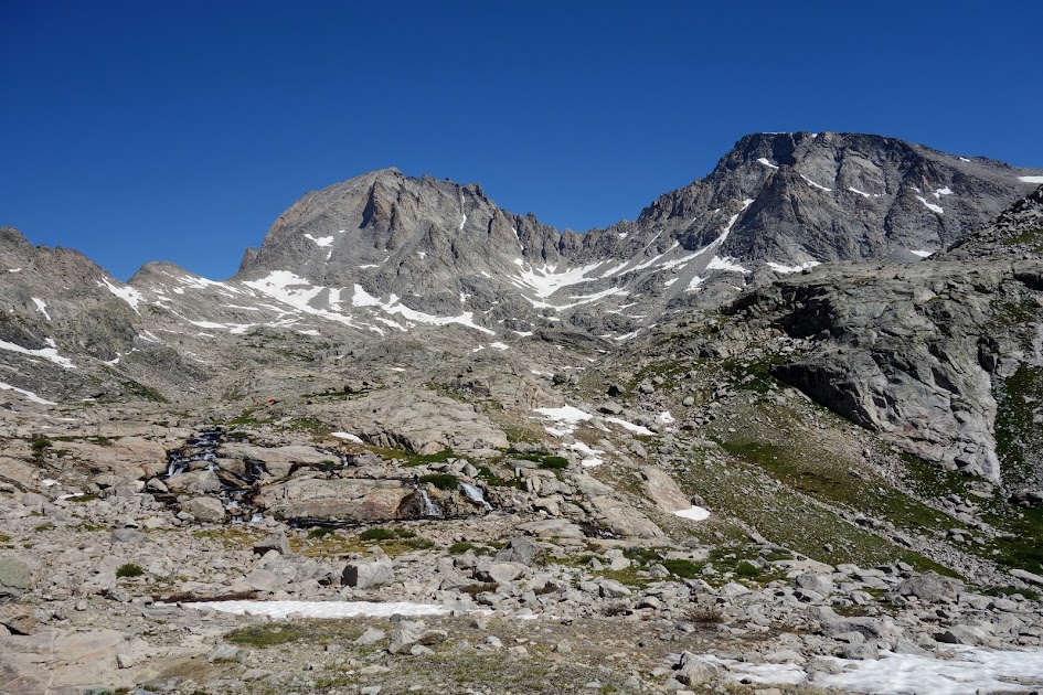
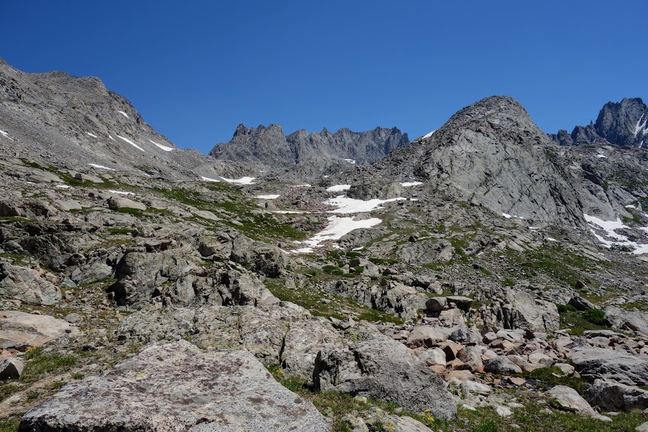
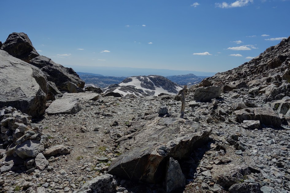
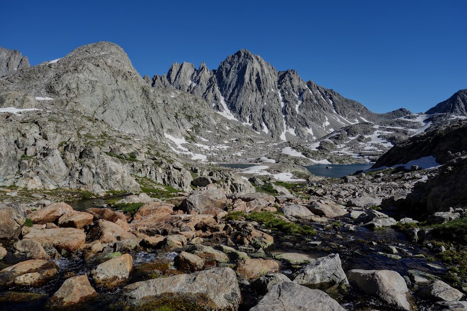
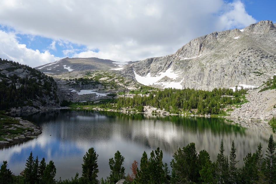
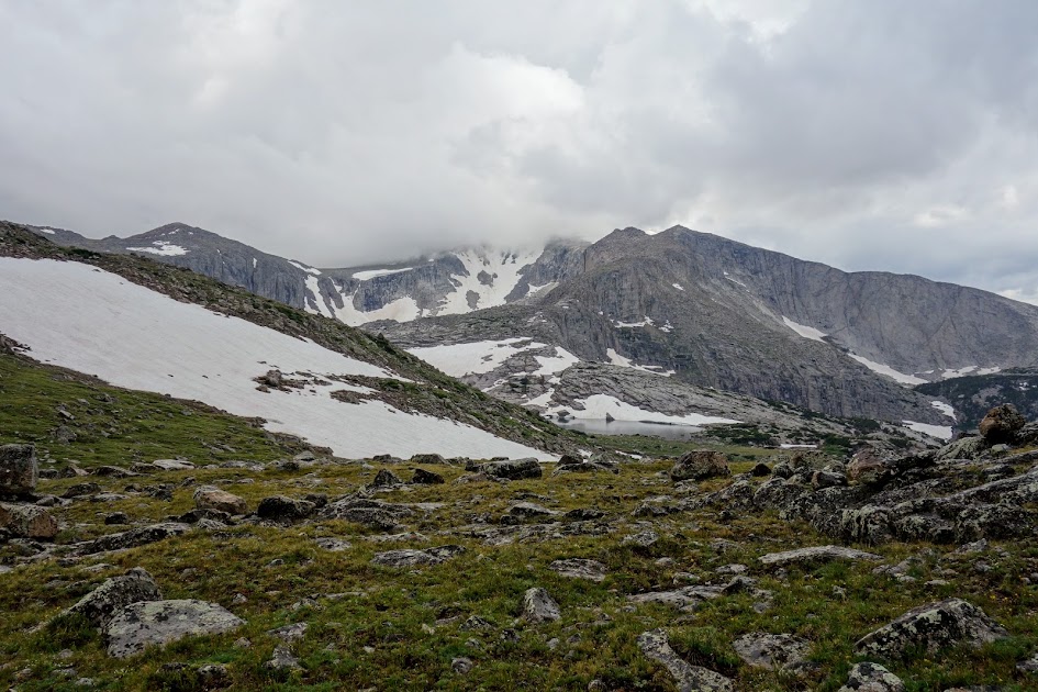
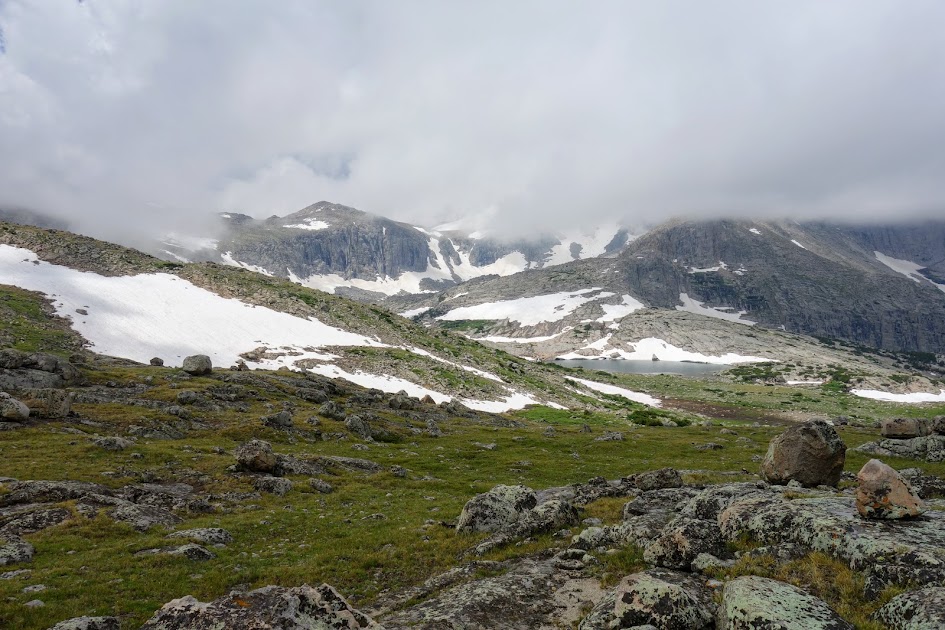
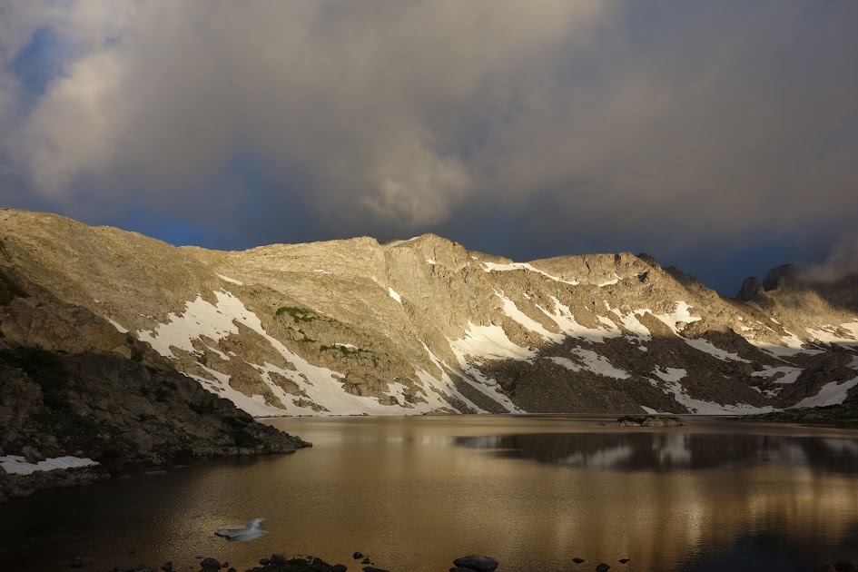
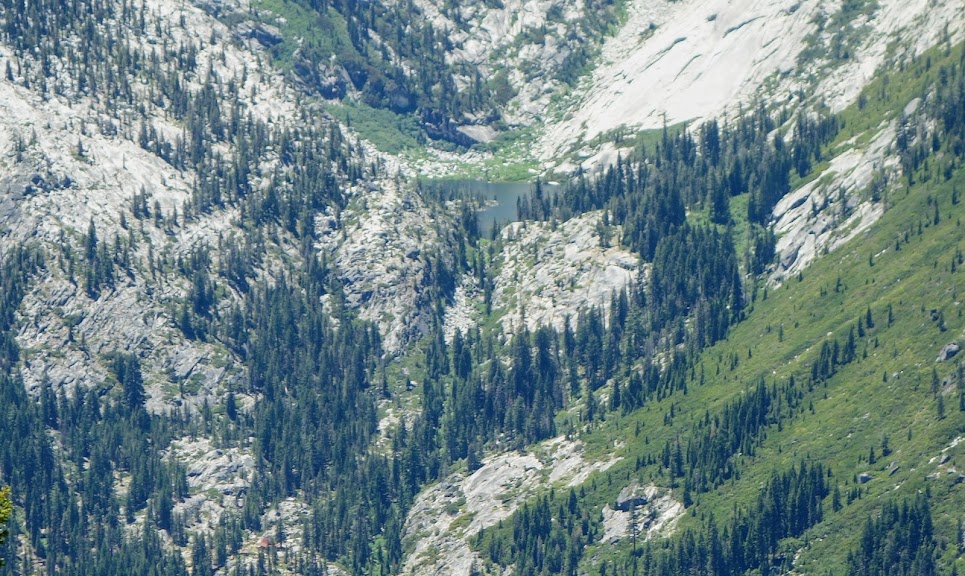
At 2.8 miles, having gained nearly 1,900′ in elevation, you reach the trail junction to Lilypad Lake and Thumb Rock. Since I hiked the loop in 2014 (blog link) I continued on the Poison Canyon Trail. Having now climbed 2,700′ in 4 miles you arrive at Tracy Trail to Boulder Lake junction. Not too much later you are granted this view of Lilypad Lake (bottom left), Thumb Rock and the beautiful hanging meadows.

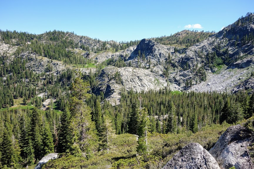
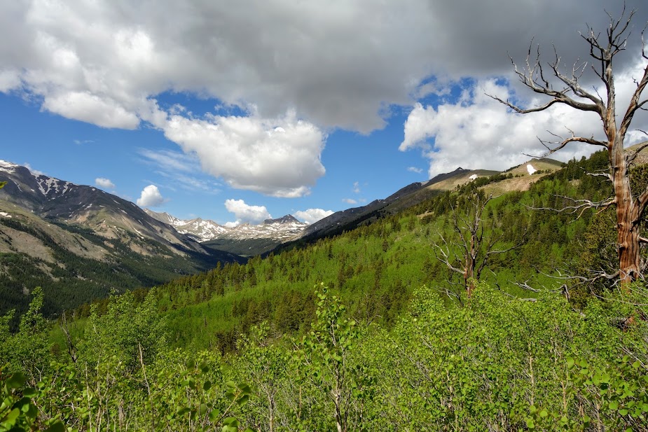
To complete the panoramic view, Ycatapom Peak with Lilypad Lake visible in the lower middle. Trinity Lake is in the valley below.

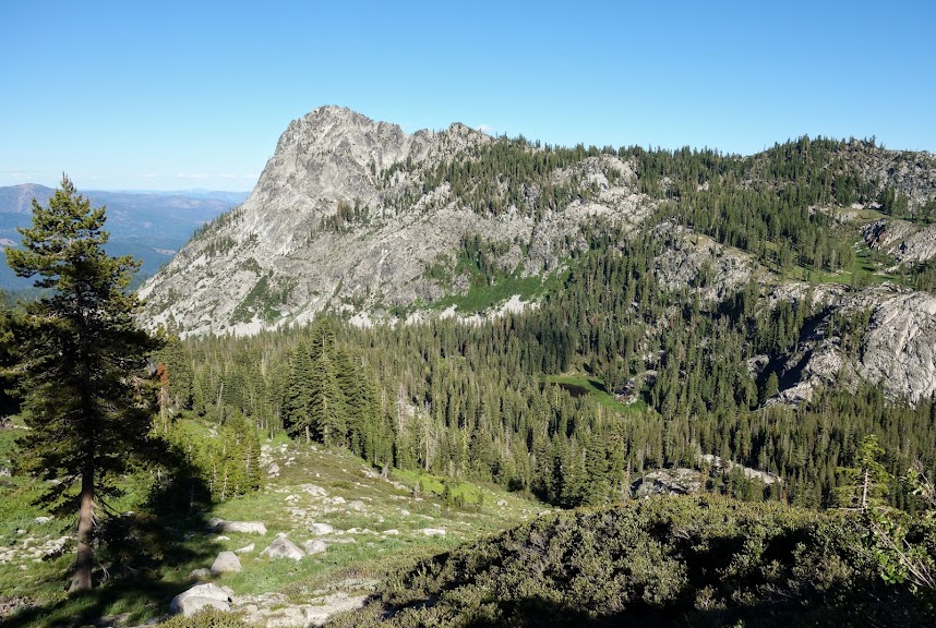
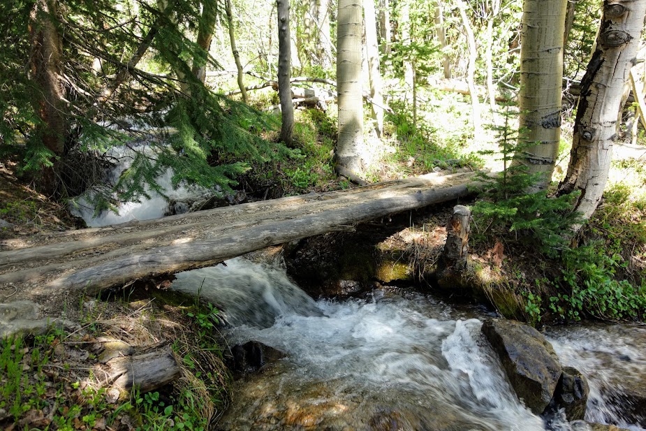
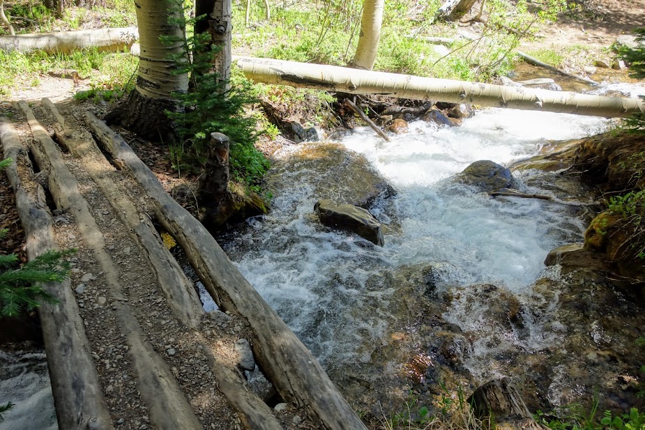
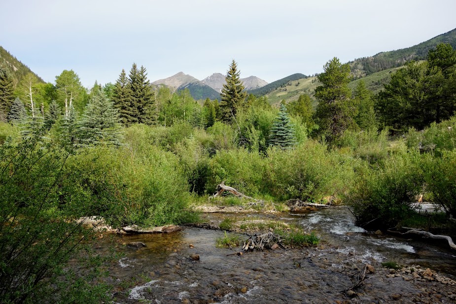
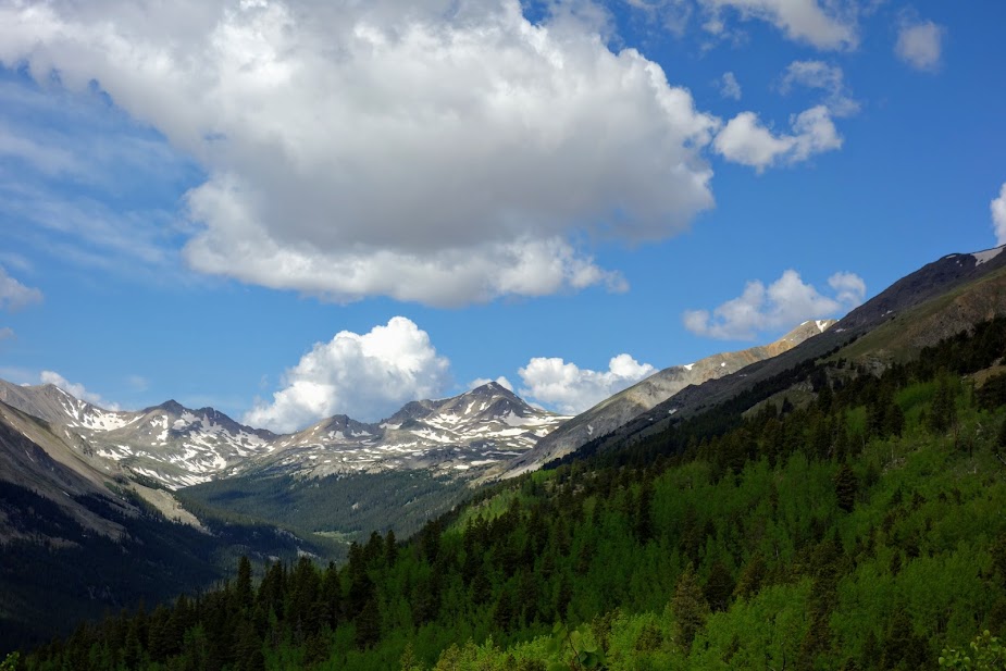
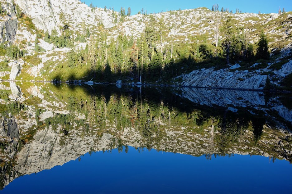
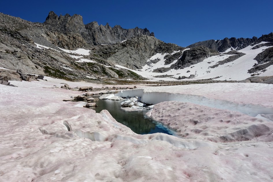
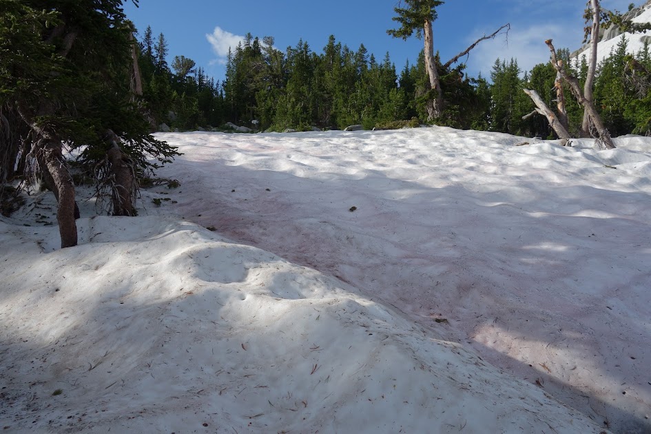
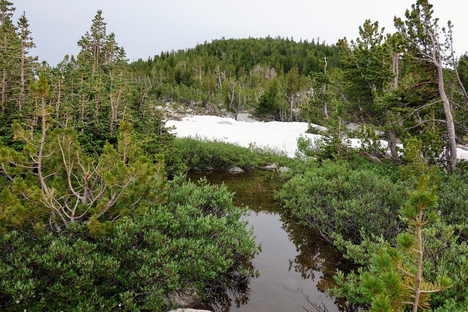
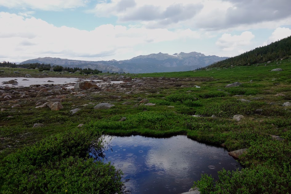
Water becomes sparse and you may limited to meadow puddles in the early summer.

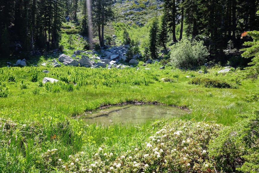
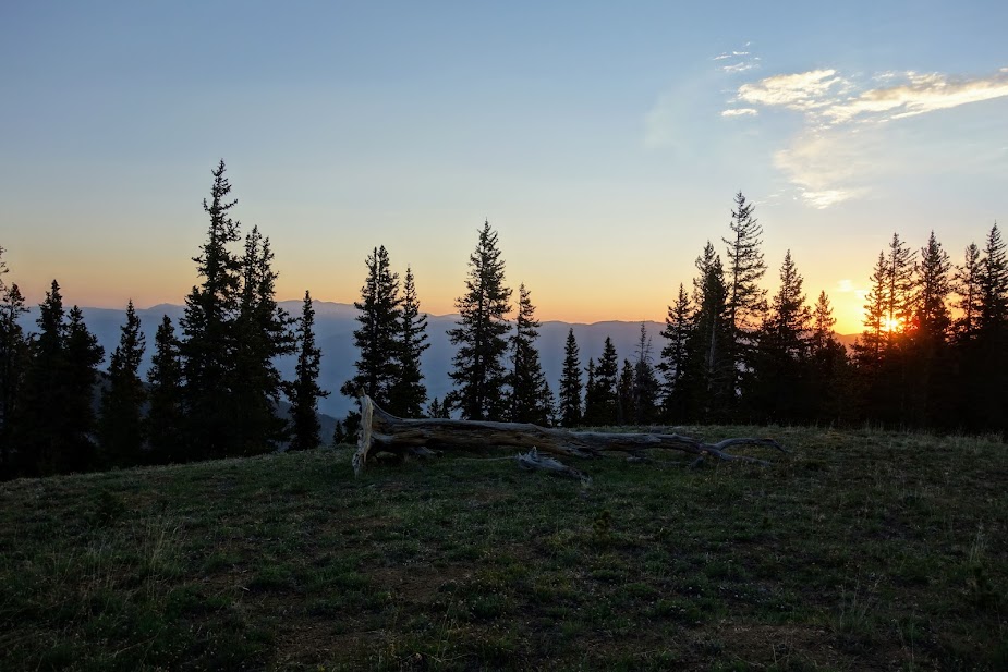
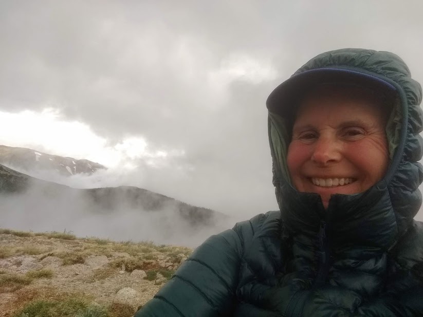
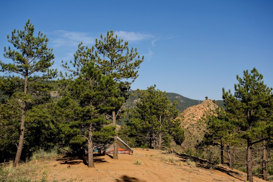
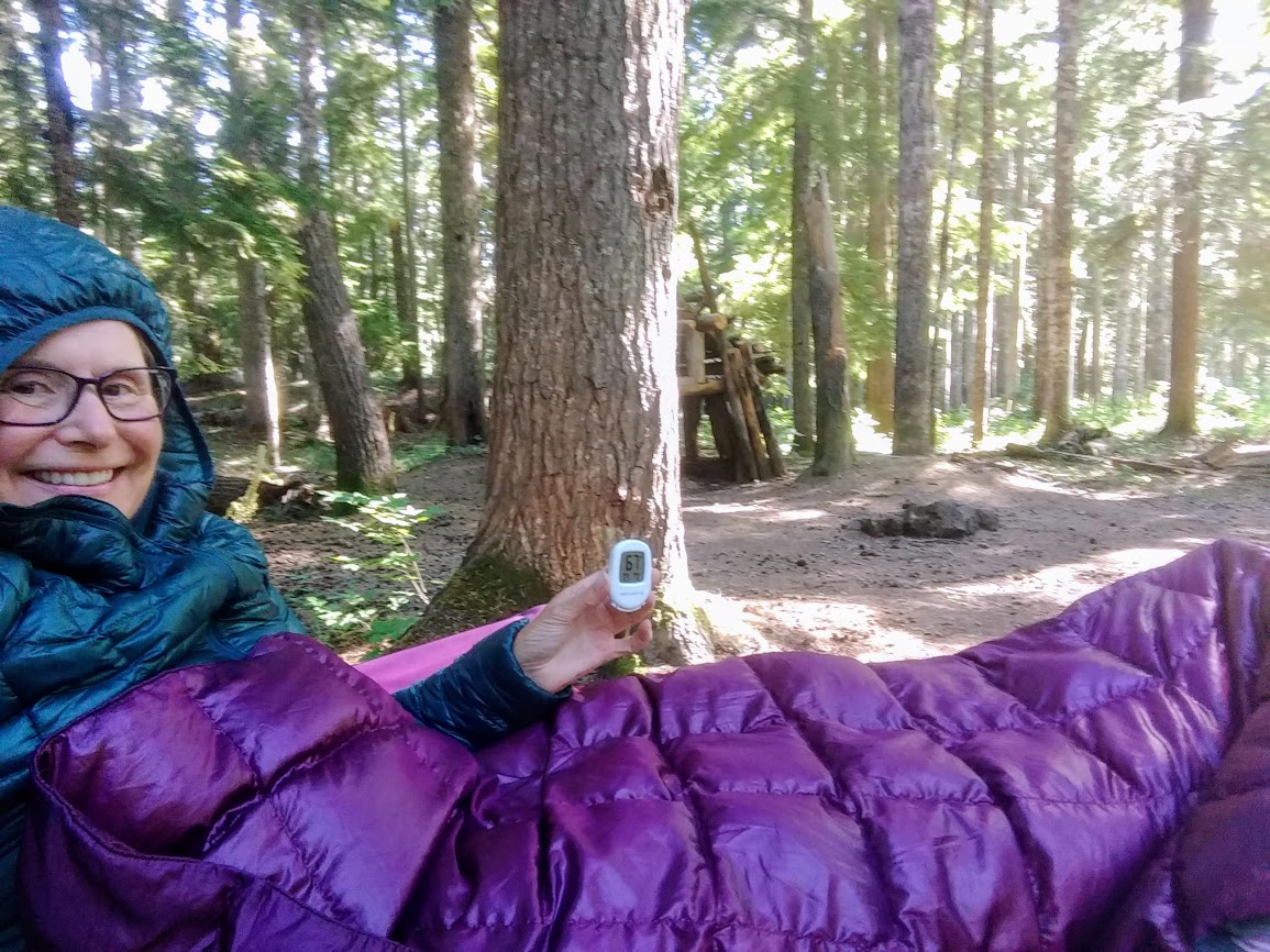
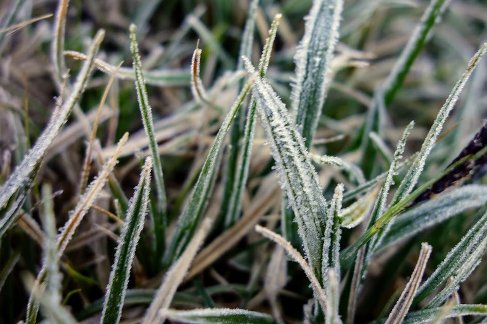
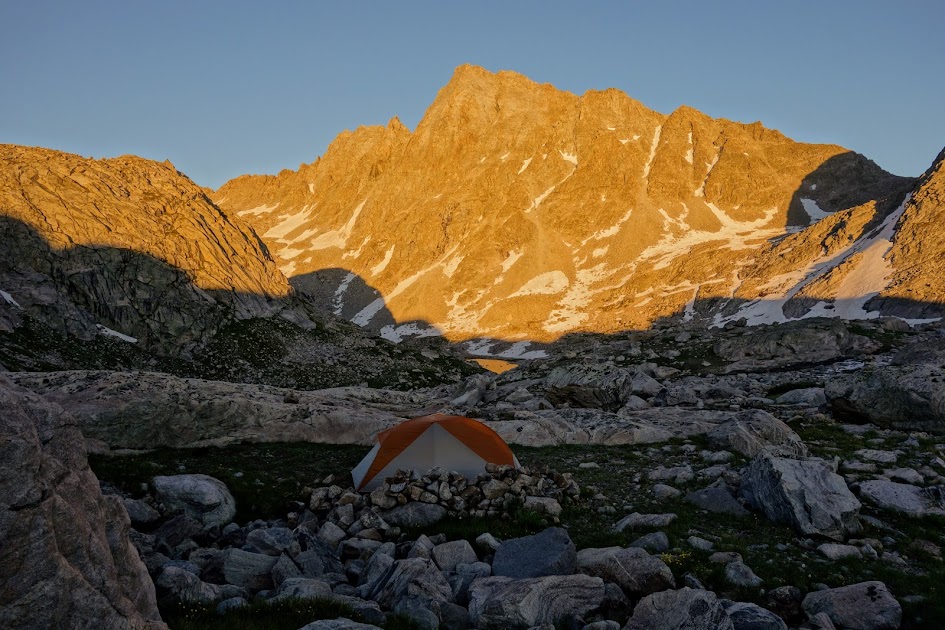
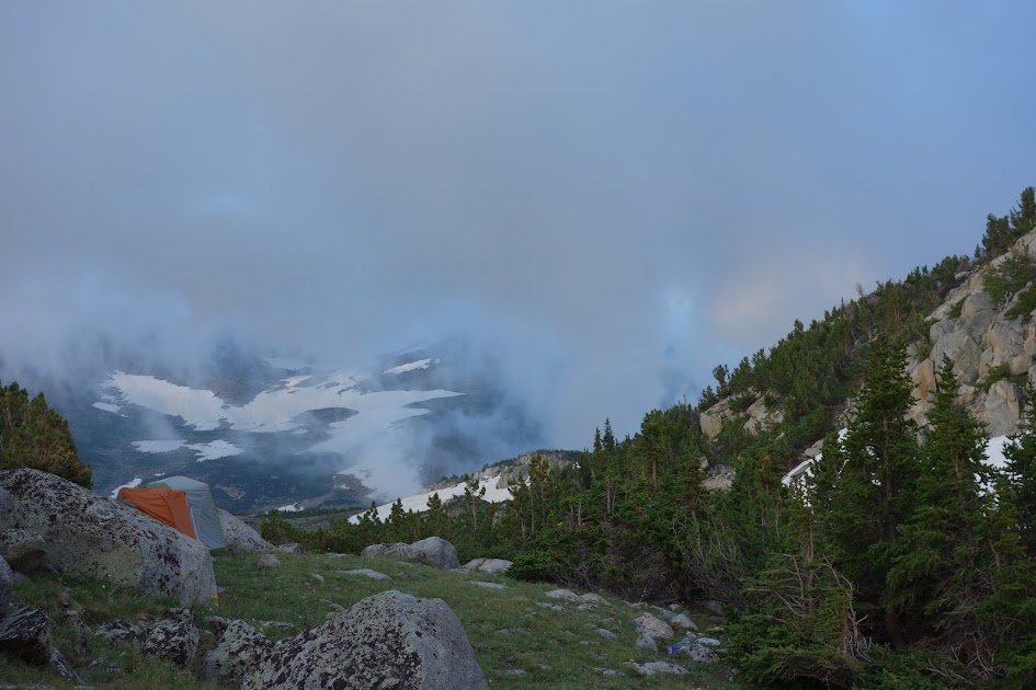
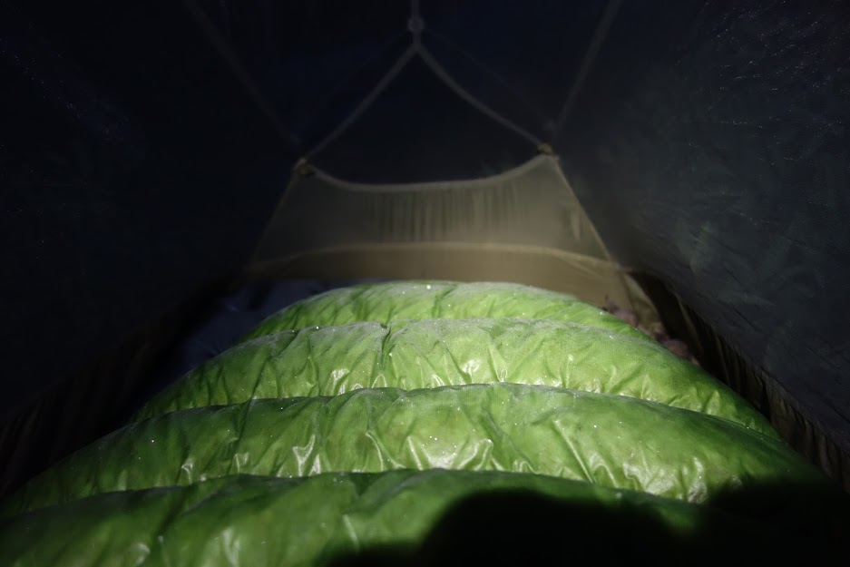
Given my late start and the upcoming water situation, I decided to camp before the ridge. It was breezy and chilly, ending with a 29F degree low and a frosty sleeping bag since I chose not to use my rainfly.

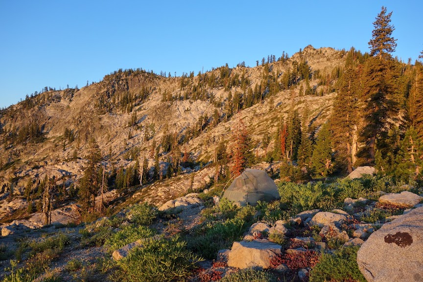
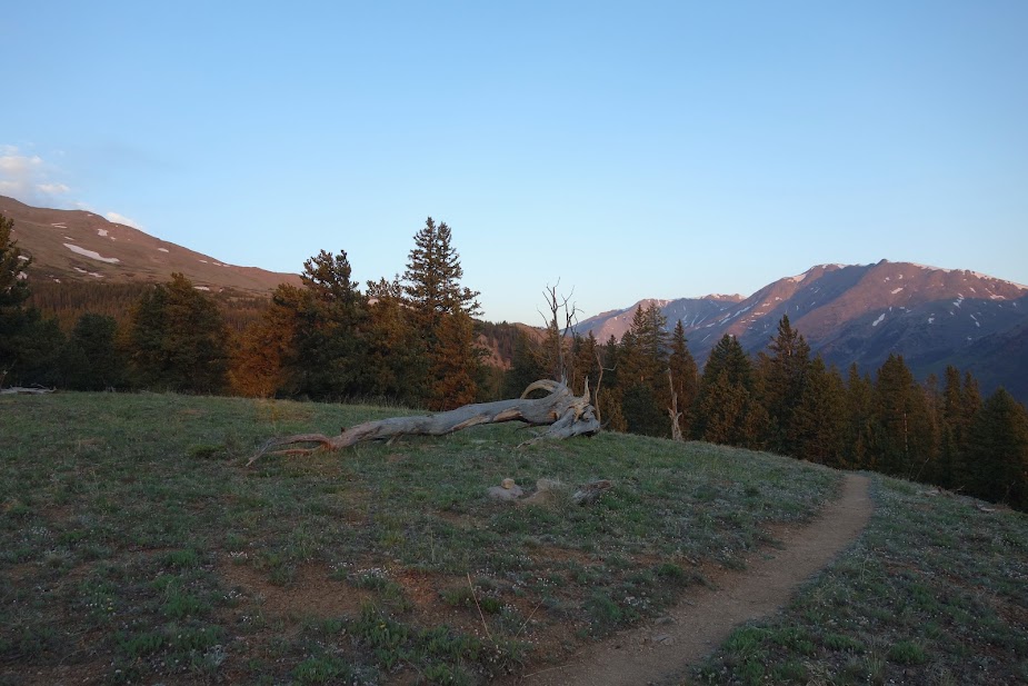
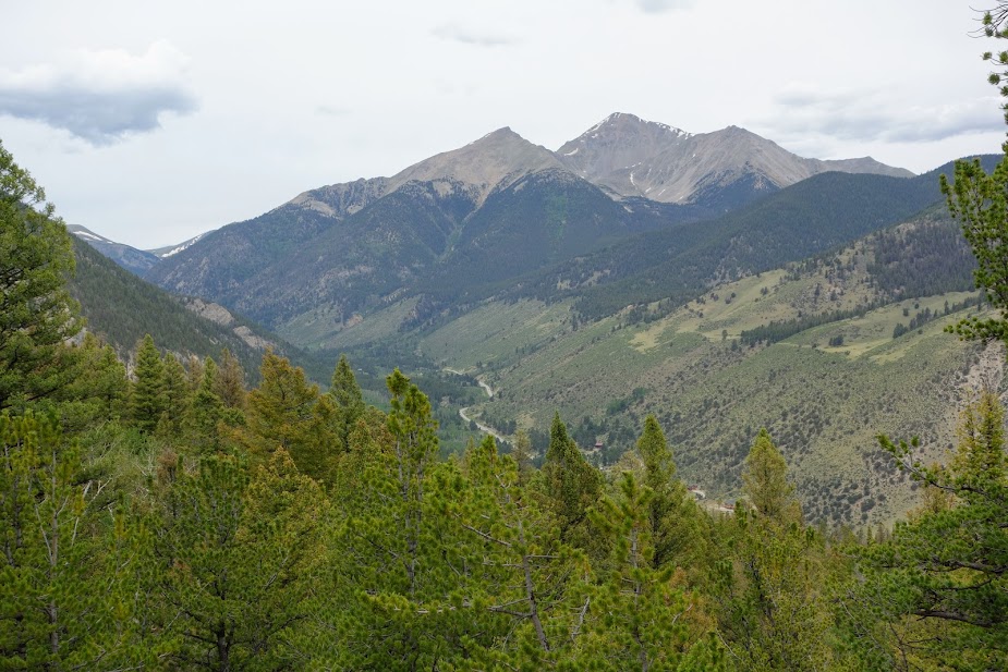
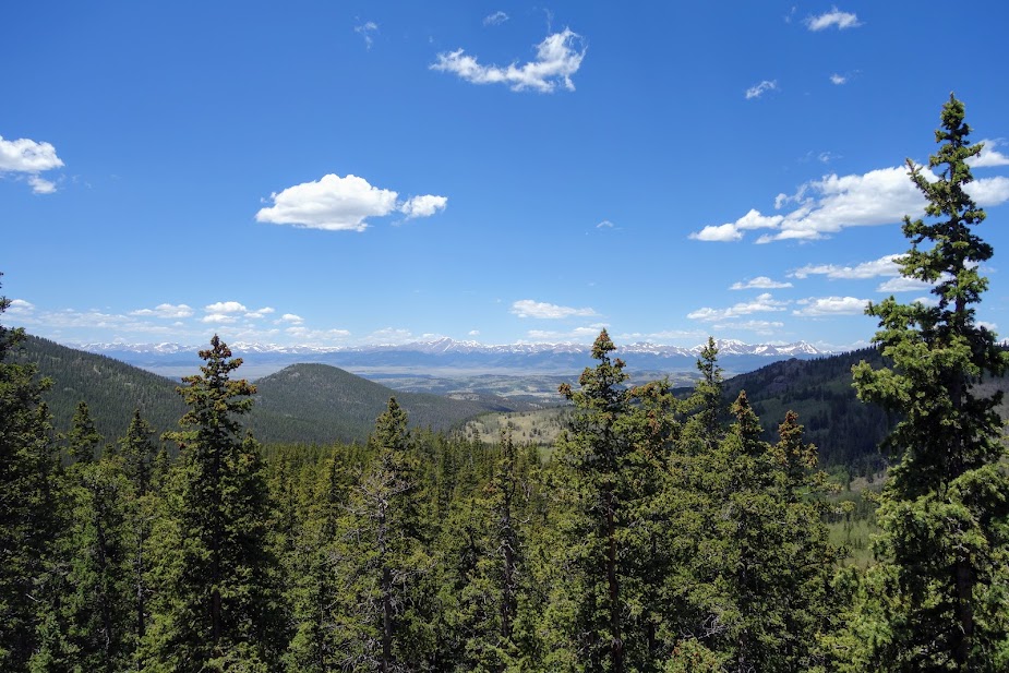
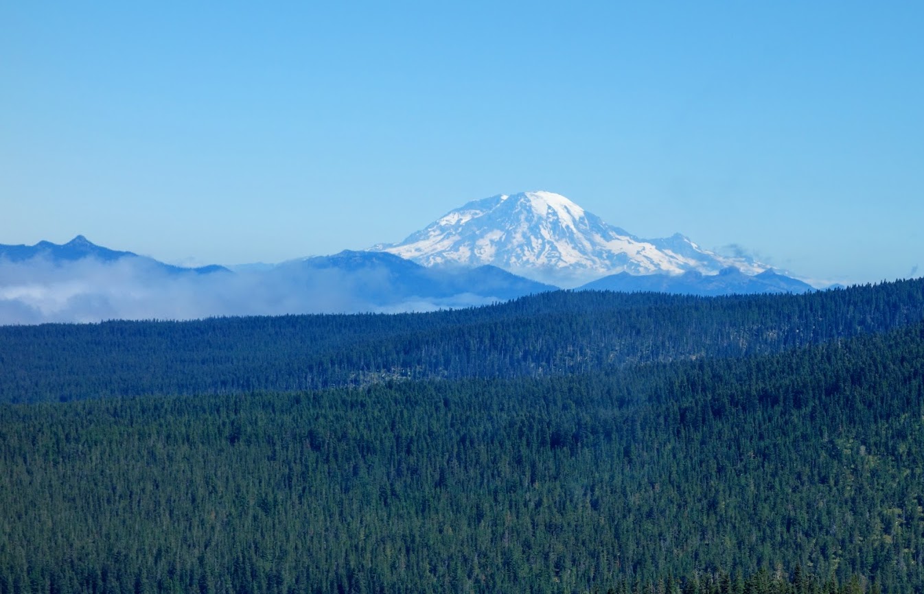
I got an early start the next morning and was treated to views of Mt Shasta as I climbed toward the Parker/Union Divide.

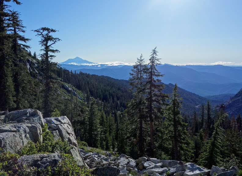
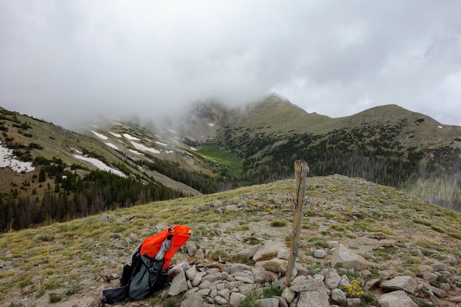
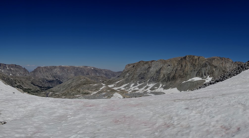
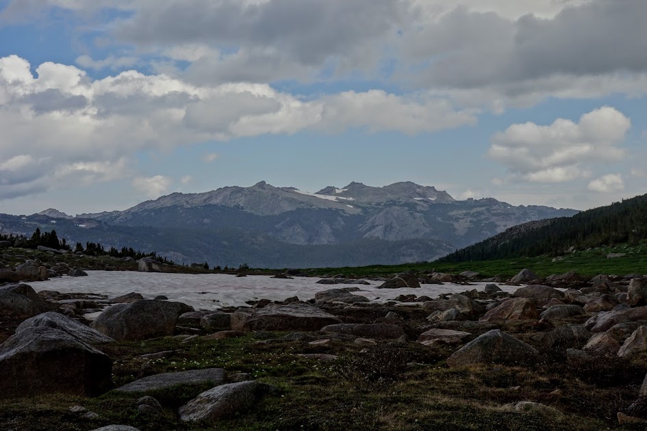
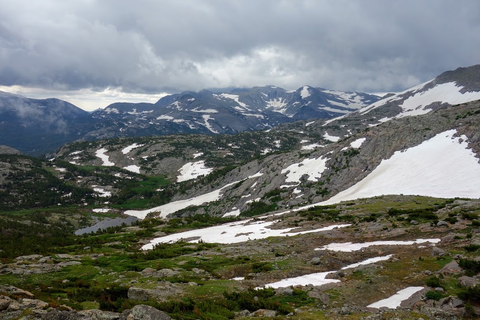
The views from the divide were impressive. At this point I was 5 miles and 3,500′ into my trip.
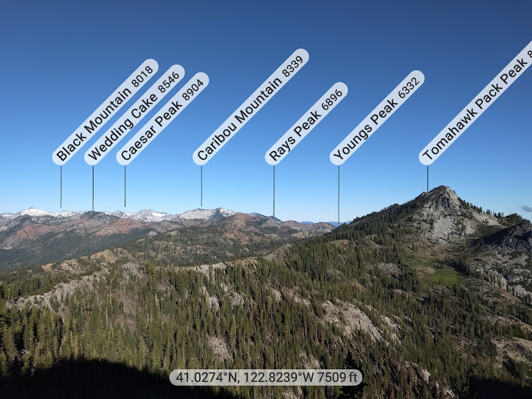
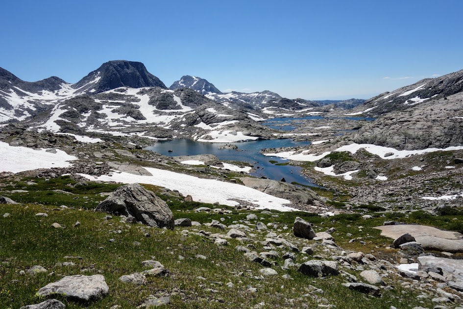
Landers Lake

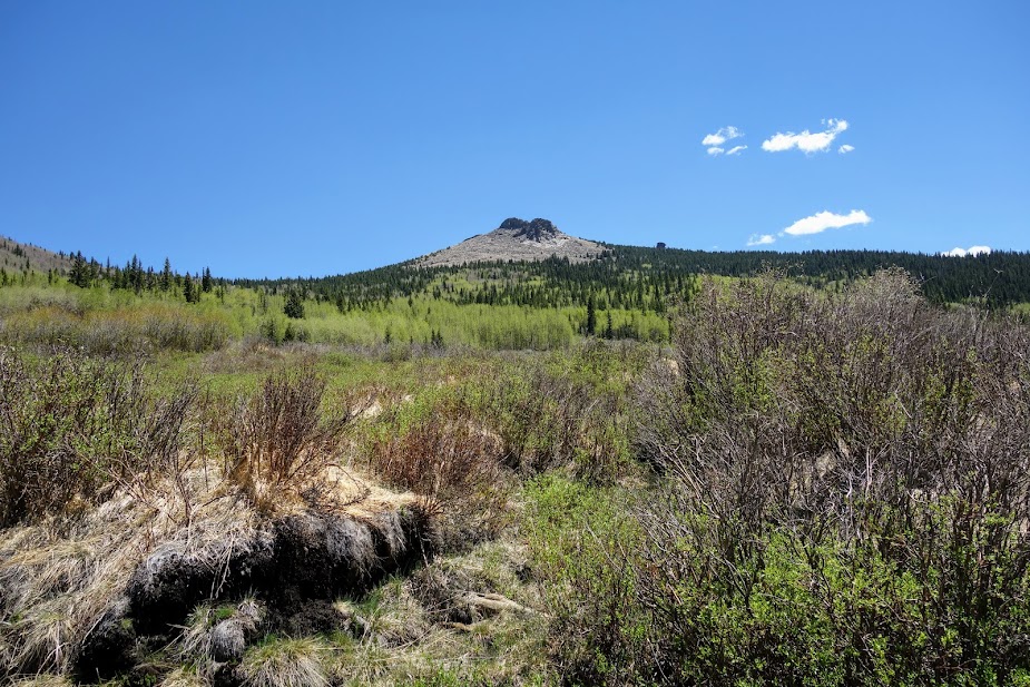
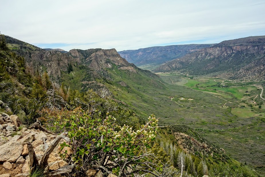
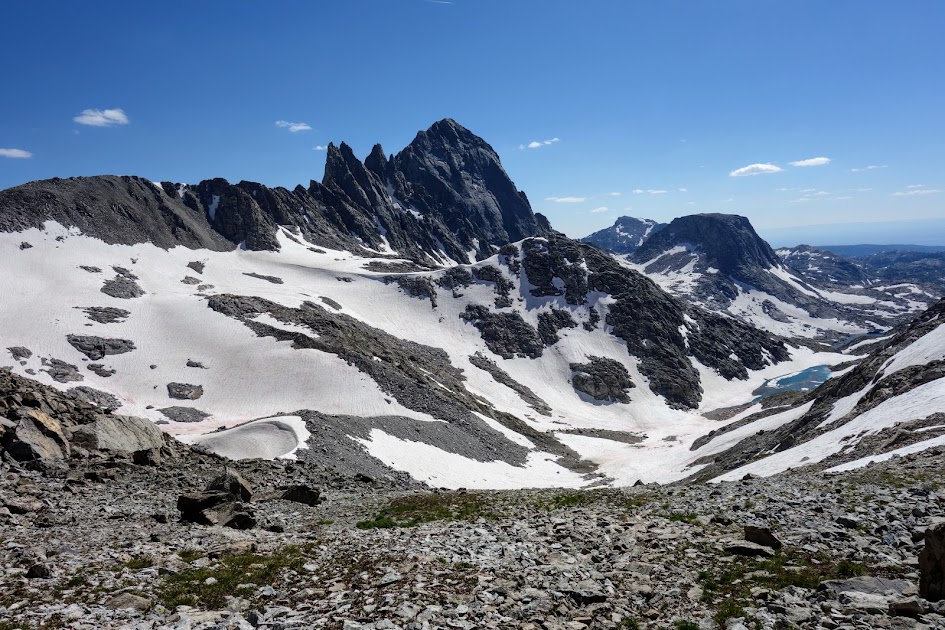
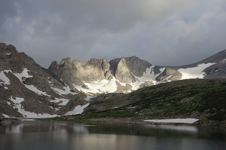
My next destination was Landers Lake which is located in the crown of mountains in the middle of this photo. Red Rock Mountain (not to be confused with Red Mountain) is the dominant peak surrounding the lake. As is true within the Trinity Alps, what goes up must go down, sadly with little room to roam at the top. My original goal was to make it to the lake for my first night but between the elevation gain, trail conditions and water situation, it wasn’t in the cards.

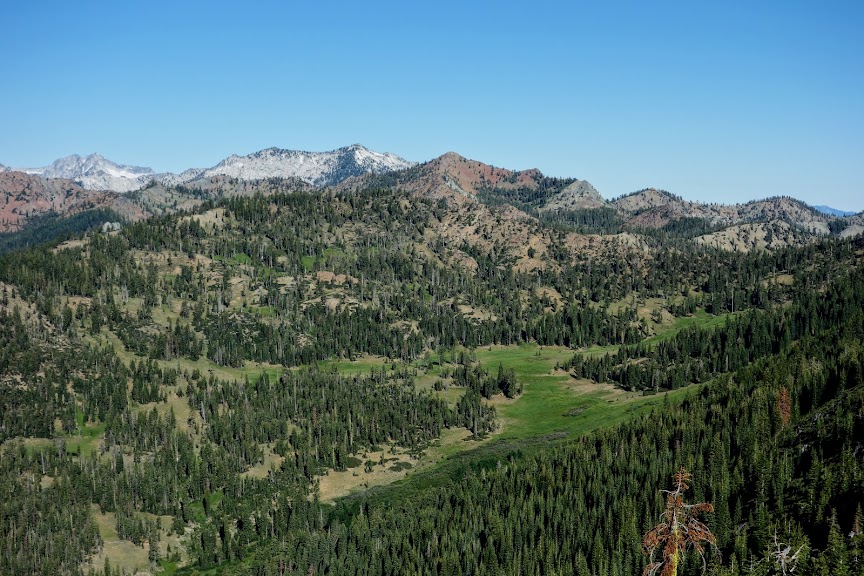
This was a fun part of the trail where you got to stay high before dropping into the valley. It reminded me a bit of Knife’s Edge in Washington’s Goat Rocks Wilderness. In my perfect world, there would be lots more of this in the Trinities.

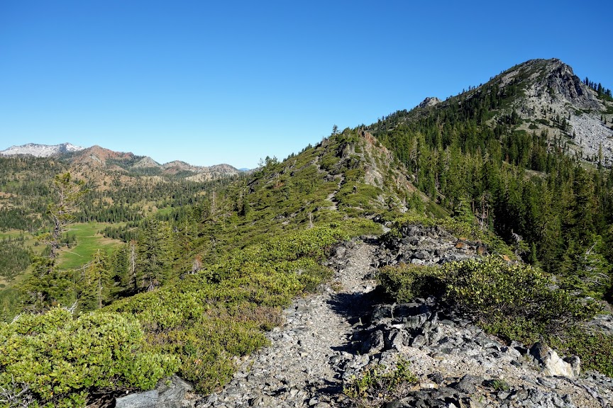
As I started my descent I found this lovely meadow of corn lilies not yet ready to bloom.

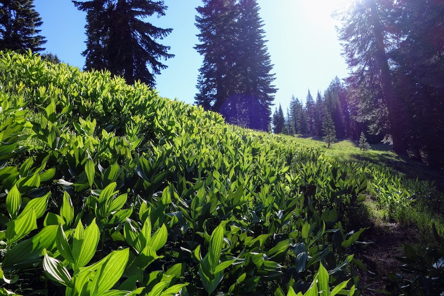
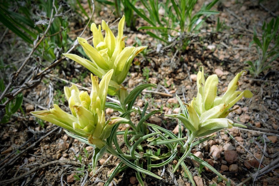
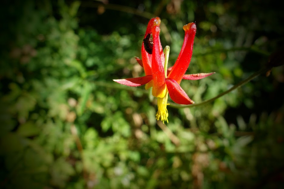
I was thrilled to find the first-of-the season blooms on owl’s clover.

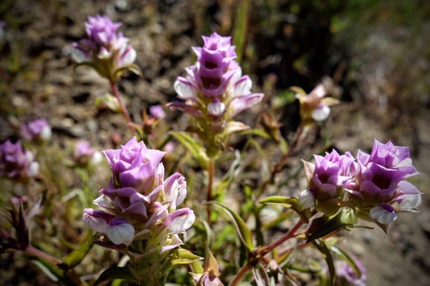
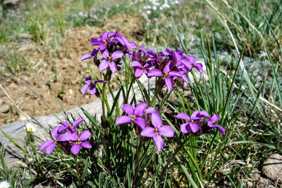
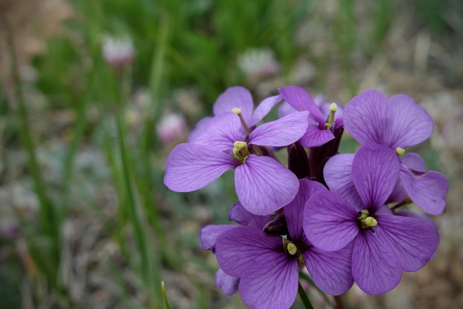
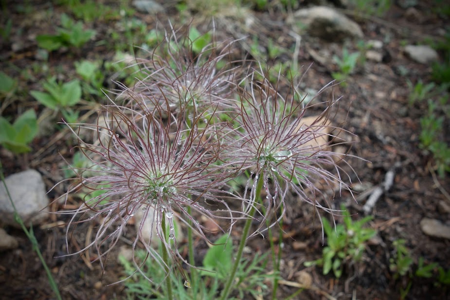
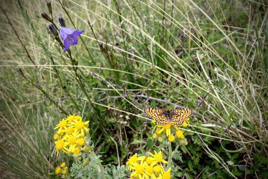
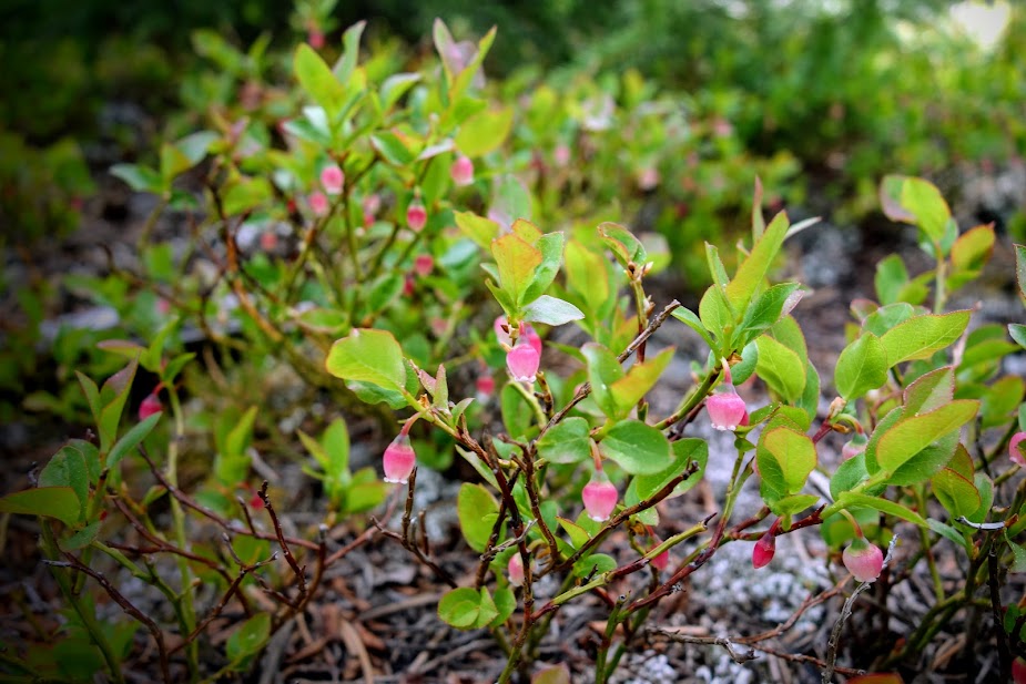
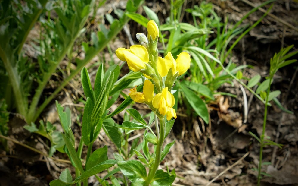
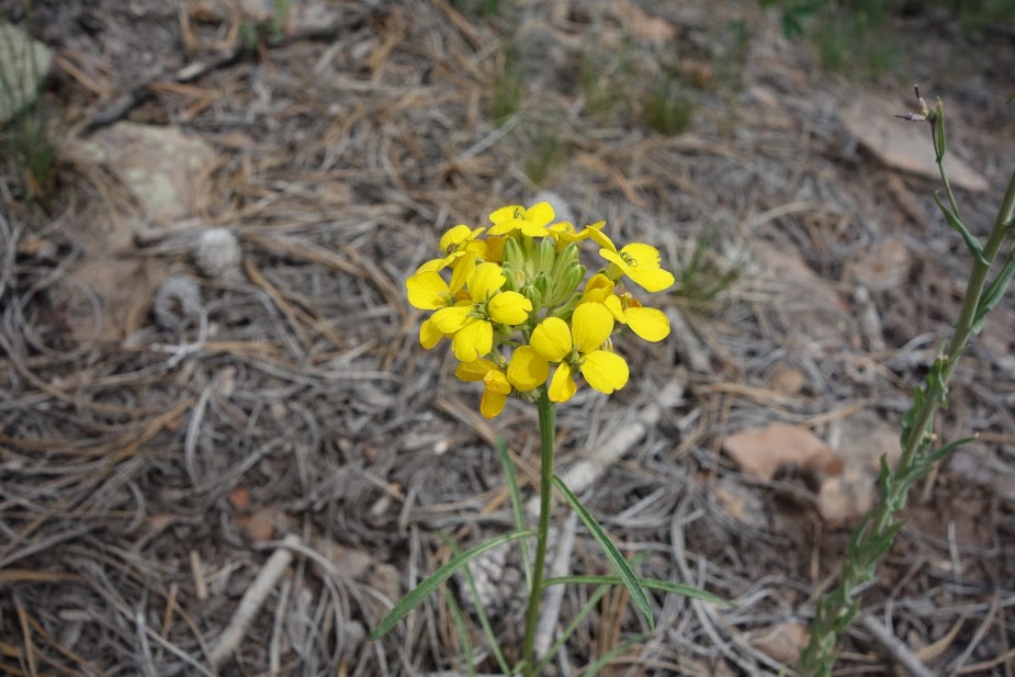
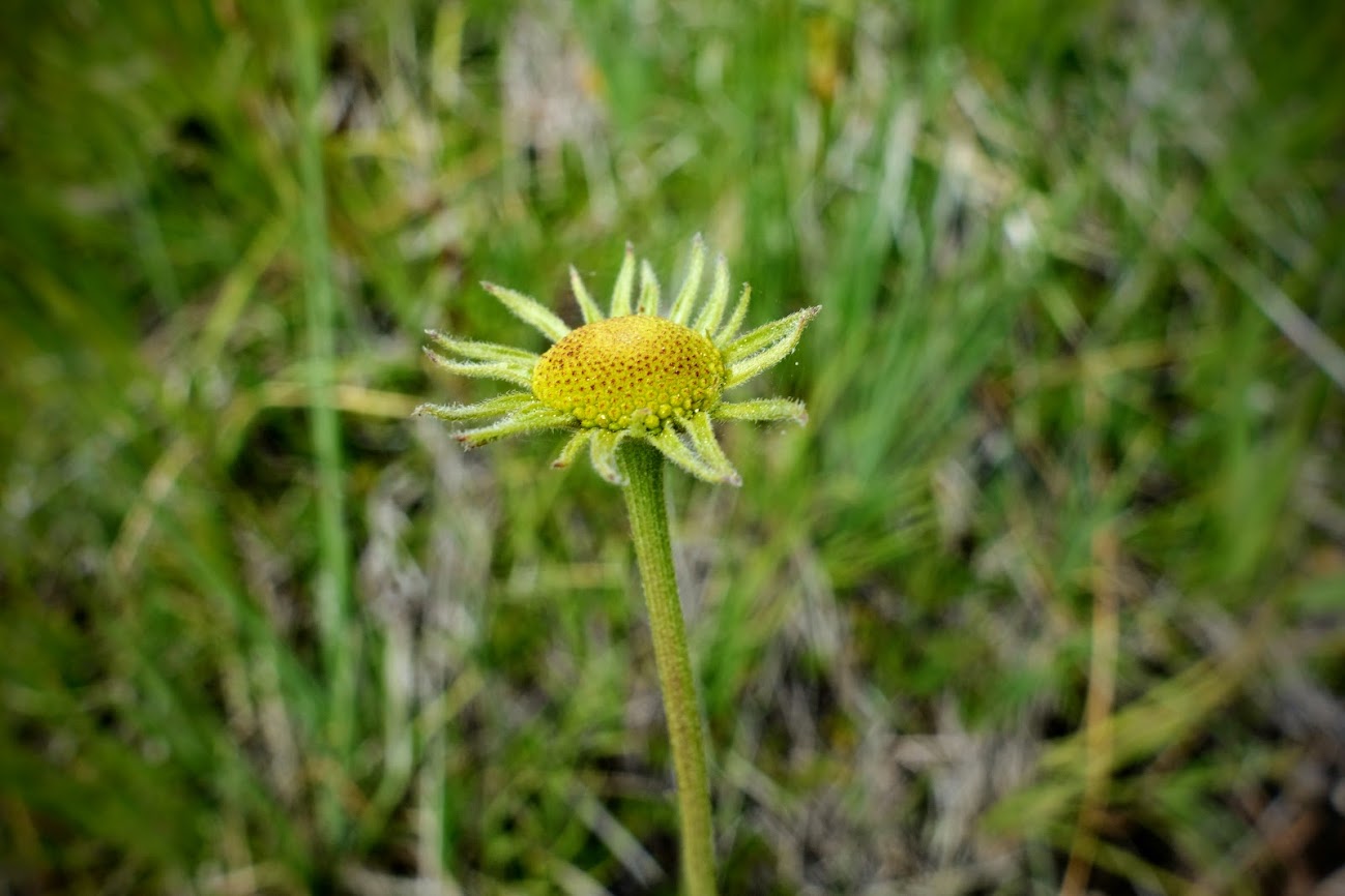
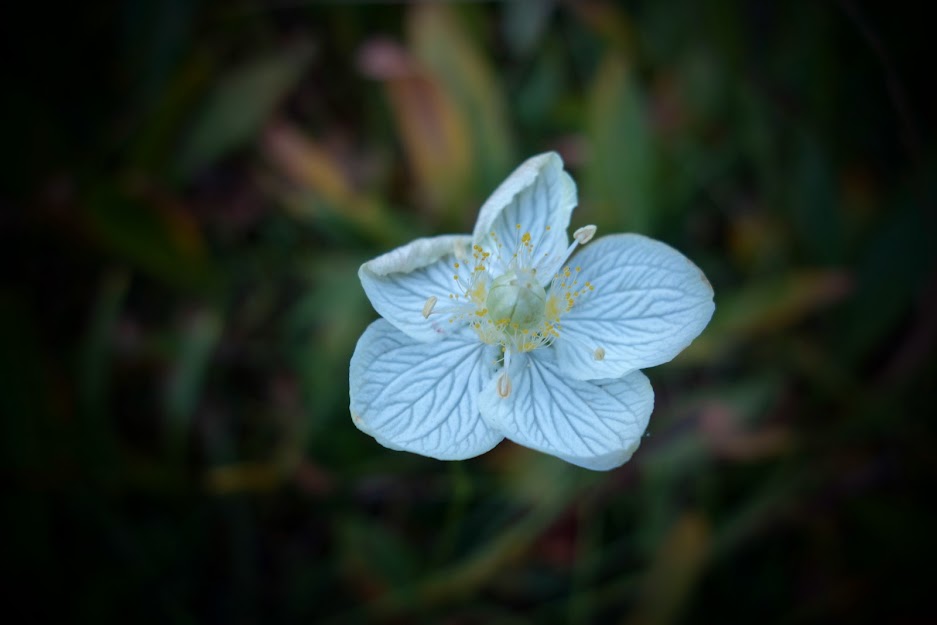
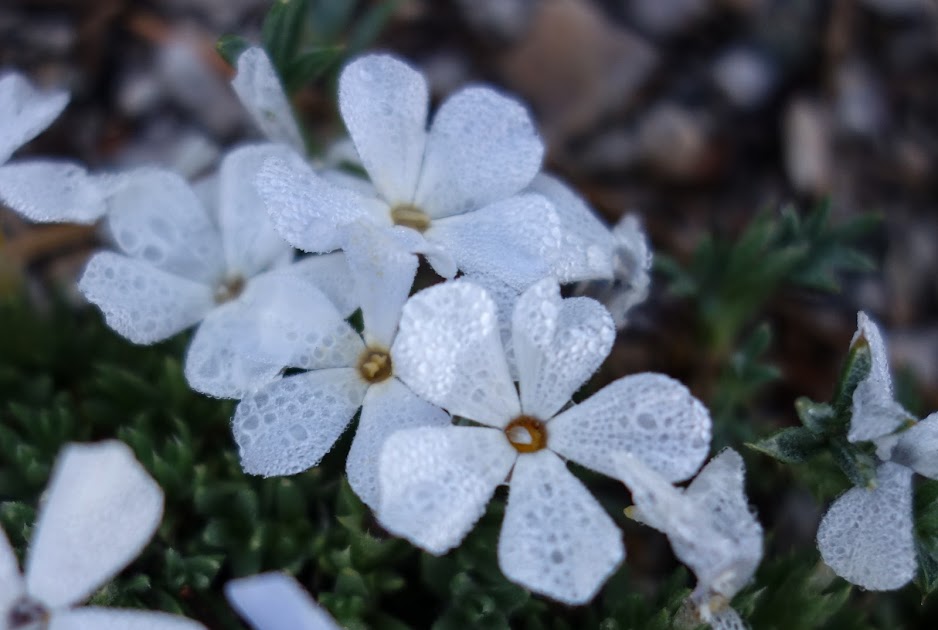
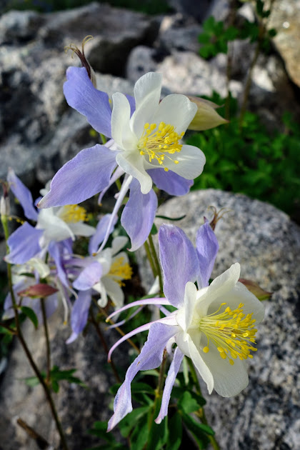
These were one of the predominant blooms on this trek. Too many similar blooms to identify for this extreme amateur botanist.

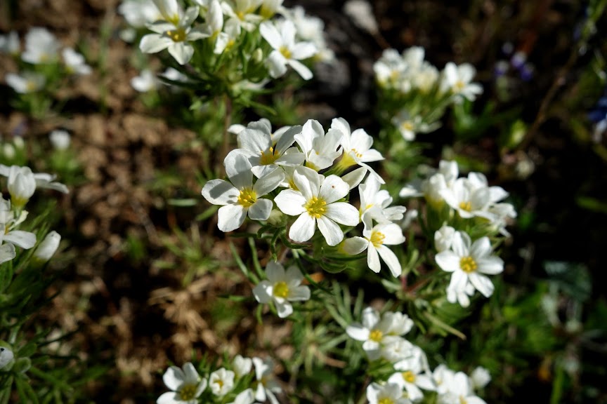
At 8 miles I reached the junction to Landers Lake.

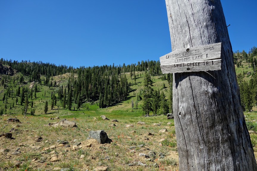
I attempted to reach the lake during my late April trip up Swift Creek, but there was too much snow (blog link).

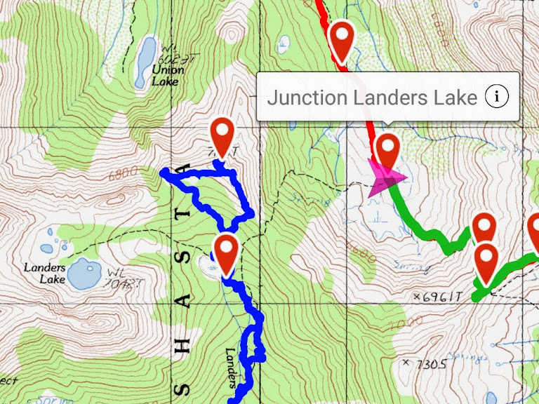
Looking back from where I’d come.

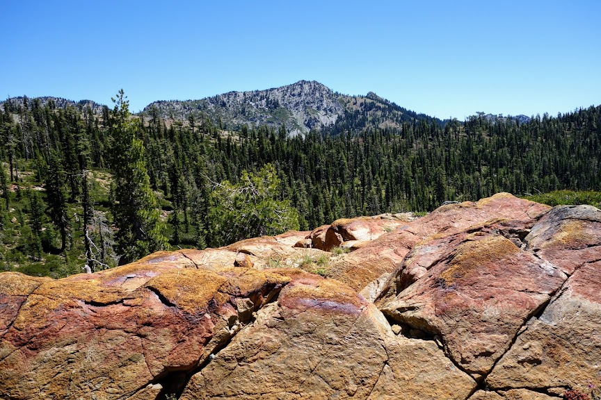
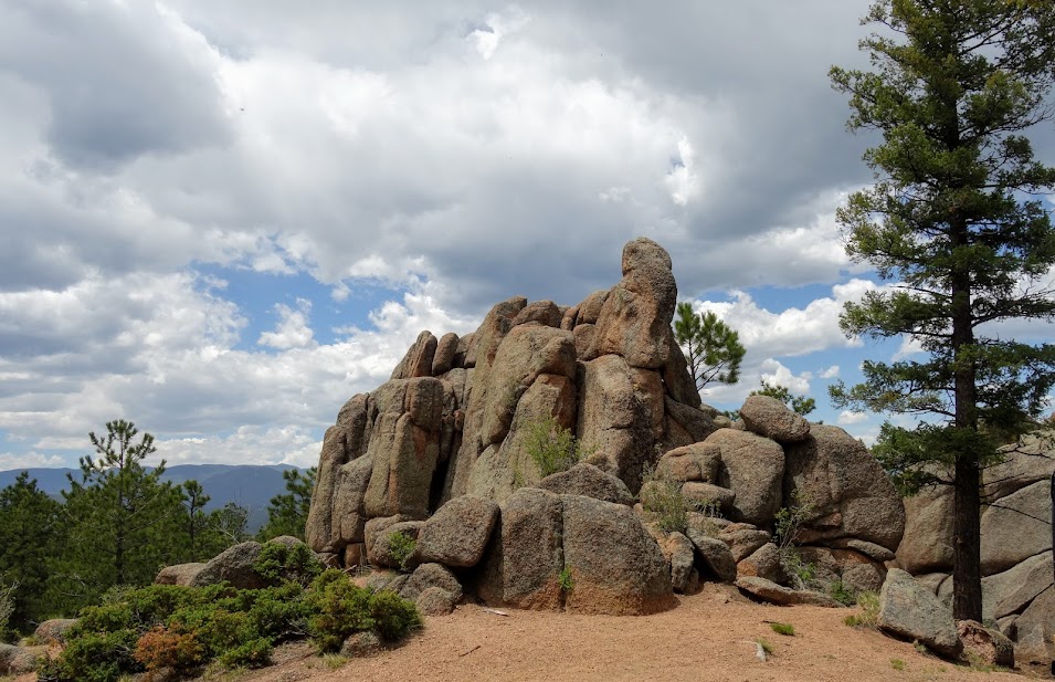
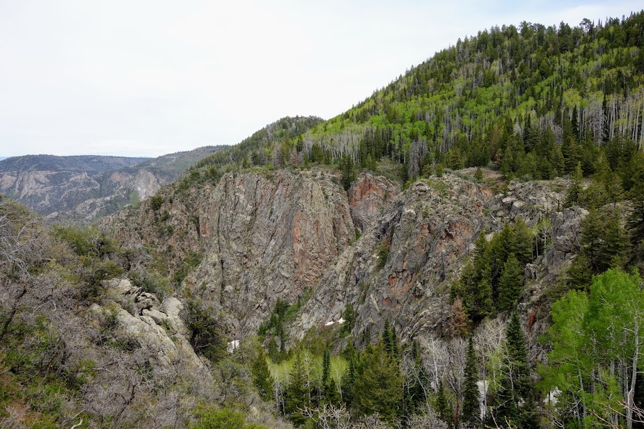
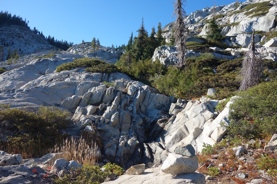
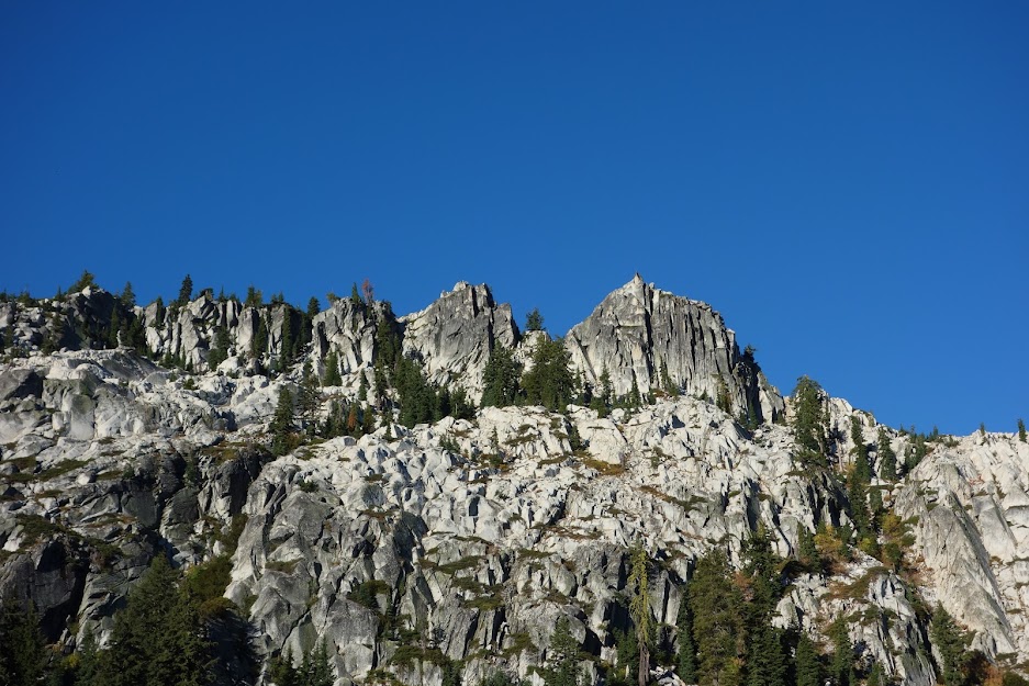
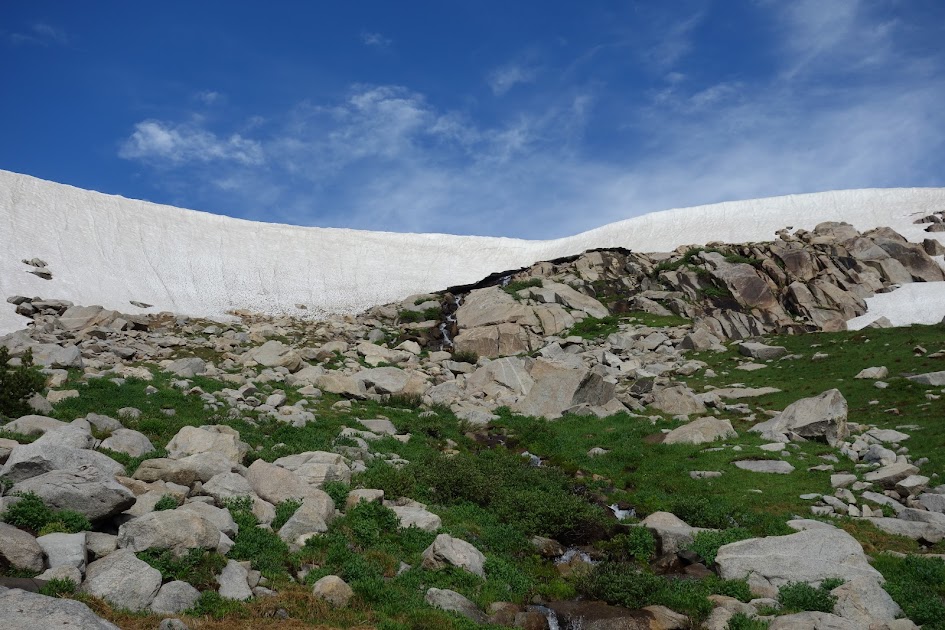
The colors and textures of these rocks is eye candy to this want-to-be geologist.

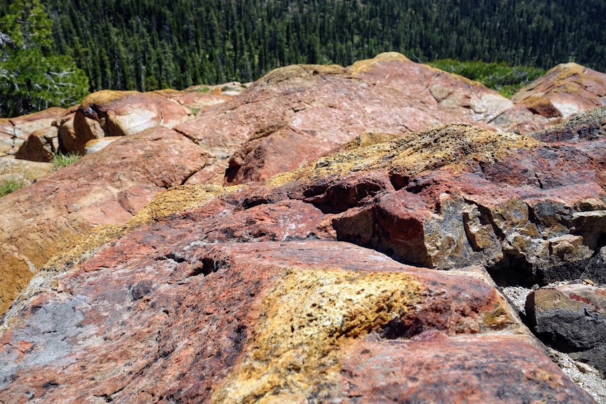
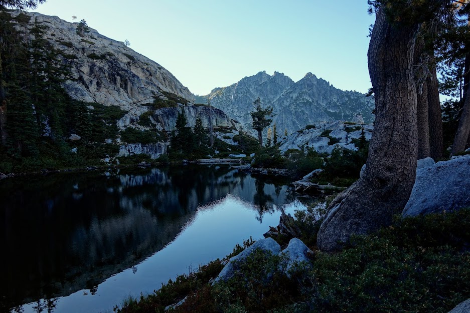
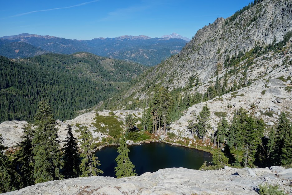
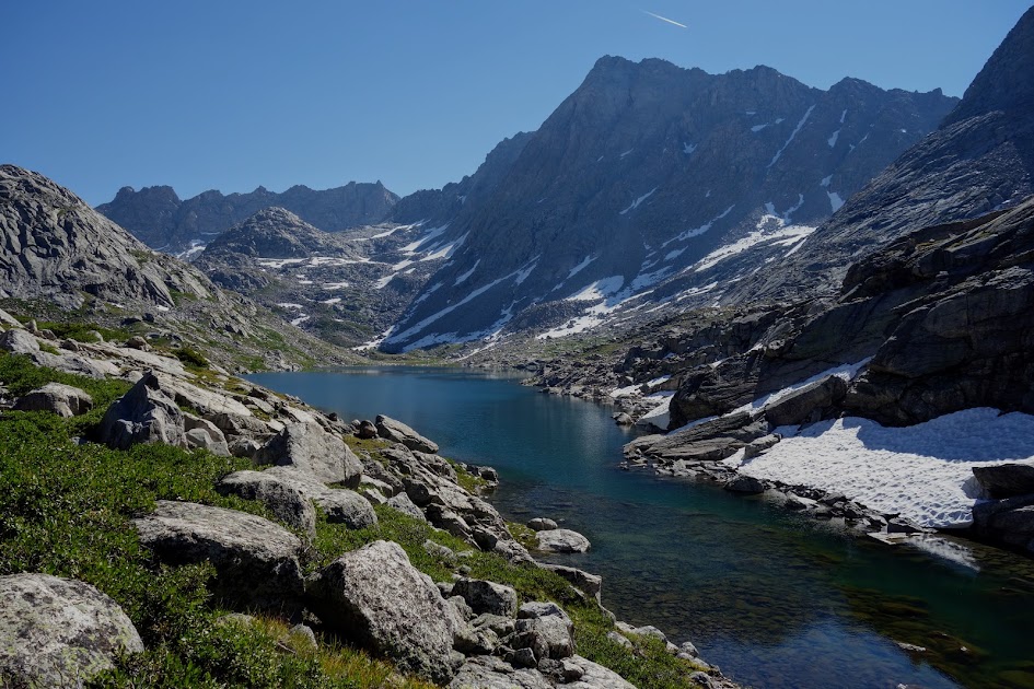
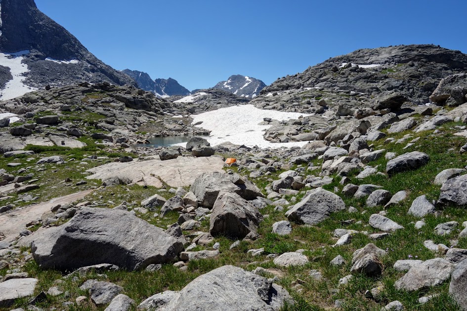
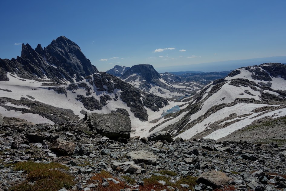
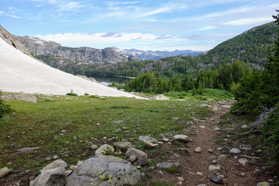
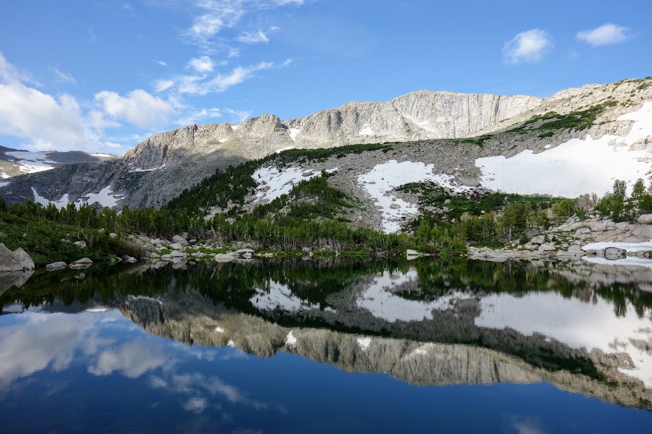
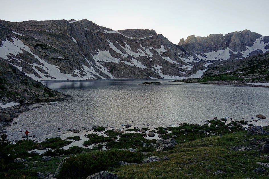
And finally I arrived at lovely Landers Lake, 4,200′ and 10.5 miles from the trailhead (plus a 1,300′ descent). Red Rock Peak looks tiny in the background. For those more nimble than I, you can skip a few miles scheduled for my next leg of this journey by going over the shoulder rather than taking the trail.

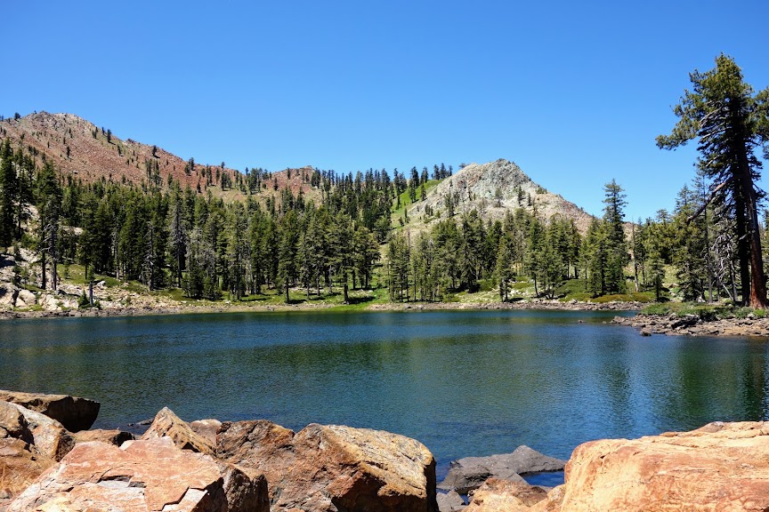
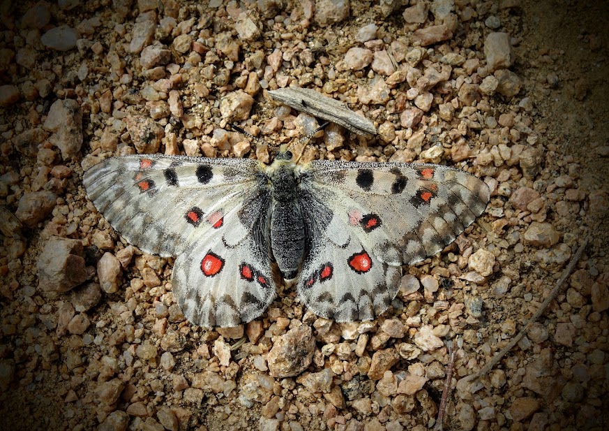
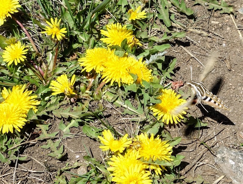
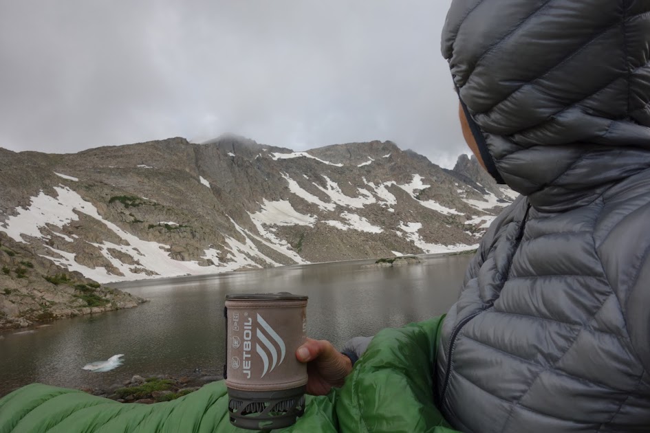
Although it was quite early, I decided to spend the night as the next leg had water issues and more elevation gain than I was ready to tackle. So I wandered around enjoying the fluttering butterflies and warm sun, although the breeze made it too chilly for a dip.

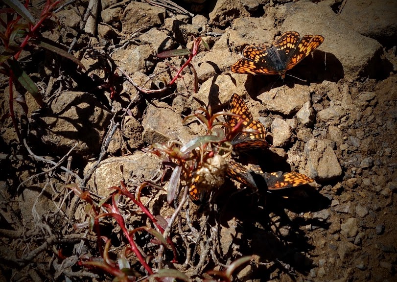
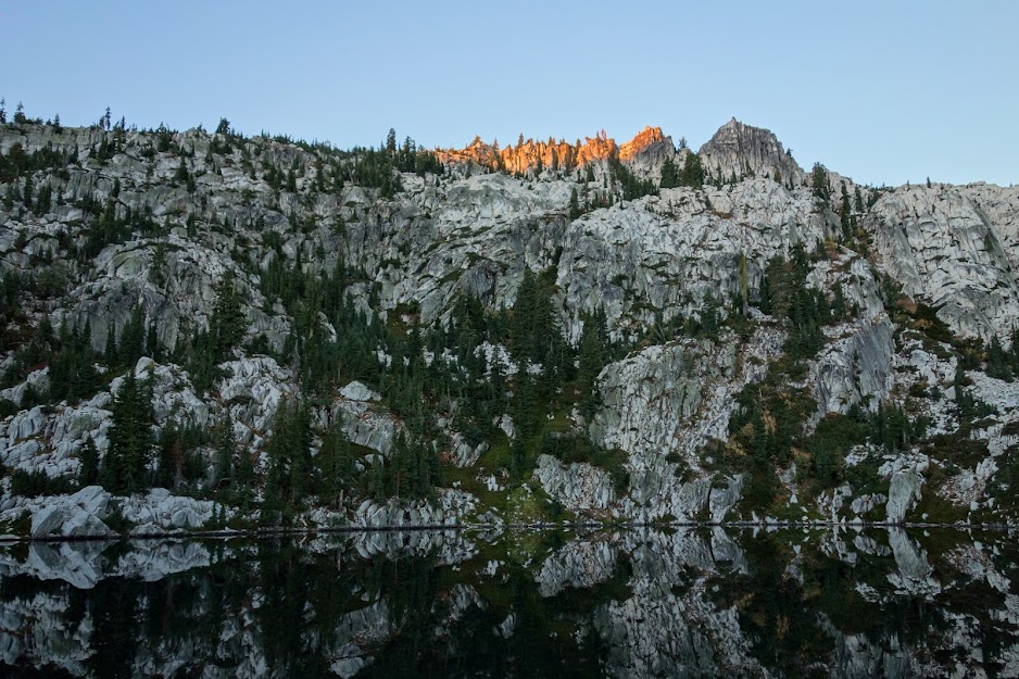
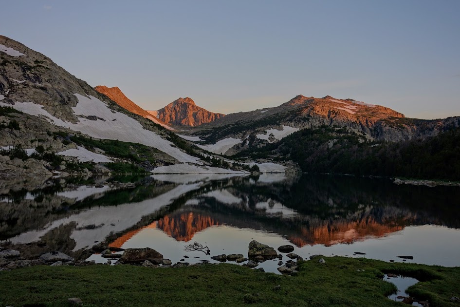
Red Rock Mountain’s namesake red was very apparent in the early morning light.

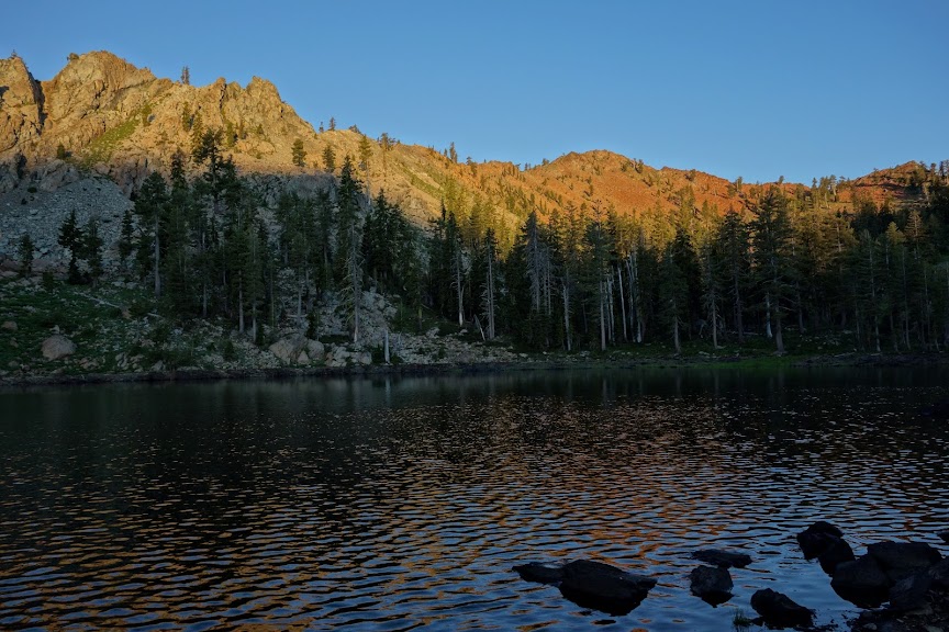
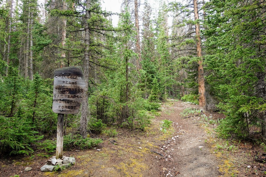
Historical Mining Trail Loop

The next leg included the Sunrise Creek, Yellow Rose Mine and Dorleska Trails. I wanted to take one of two short cuts, but I knew from my experience it would end up wasting more time and energy than just taking the trail which meant descending before regaining that elevation. In retrospect I was happy with my decision when I saw I would have had to go through a huge ravine as well as deal with brush. So at 12.7 miles from the Poison Canyon Trailhead, I connected with the Sunrise Creek Trail.

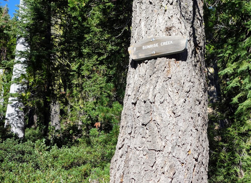
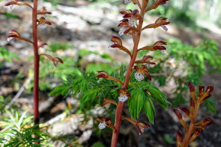
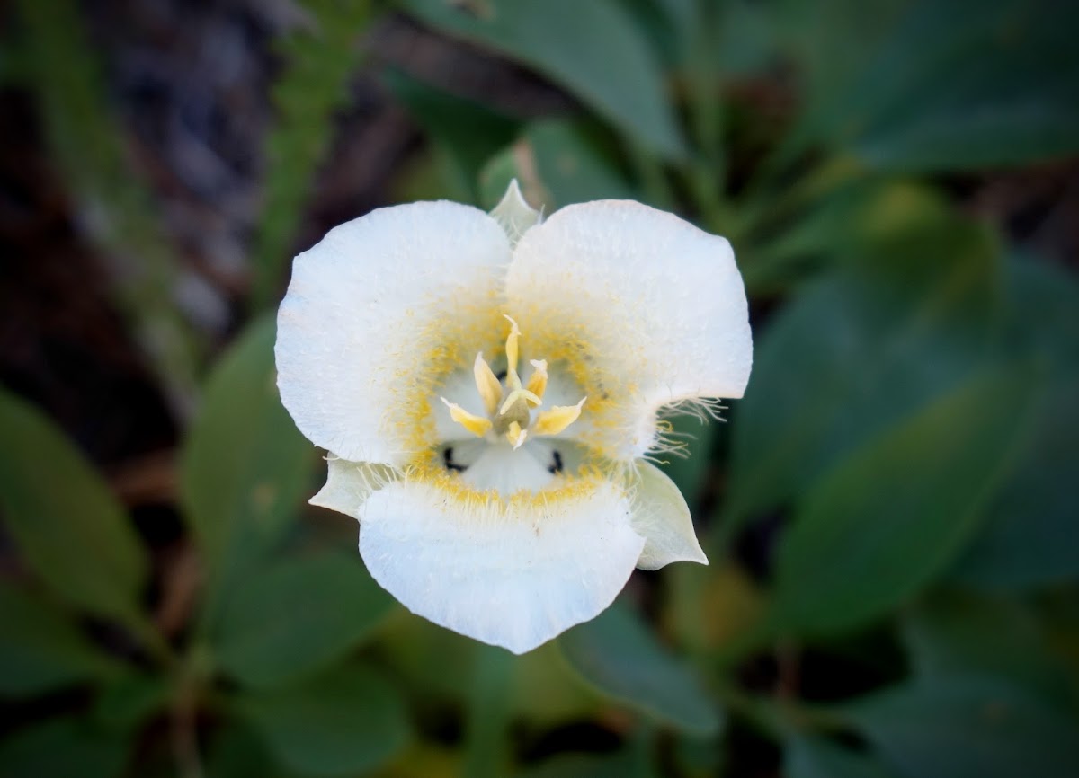
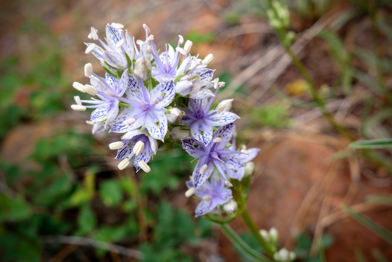
There were a few wildflowers at around 6,000′ including these Mariposa Lilies.
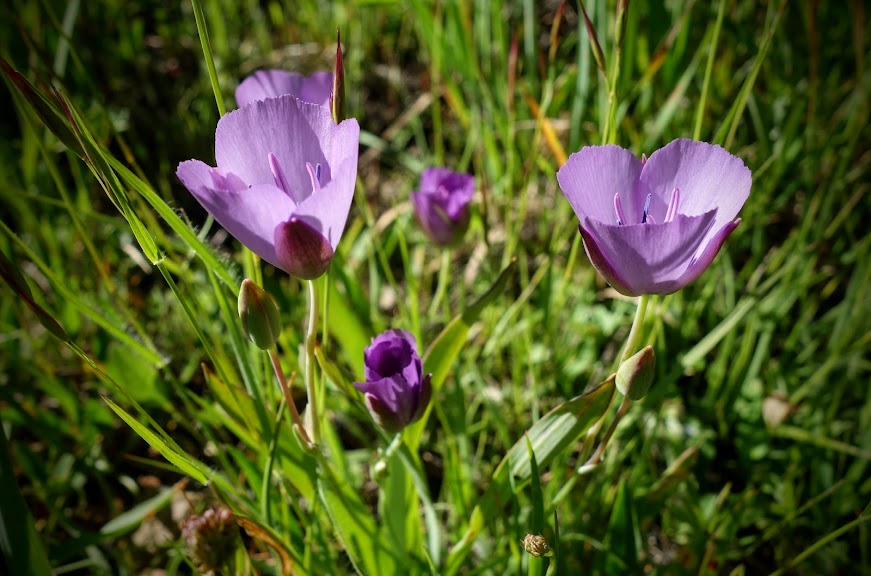
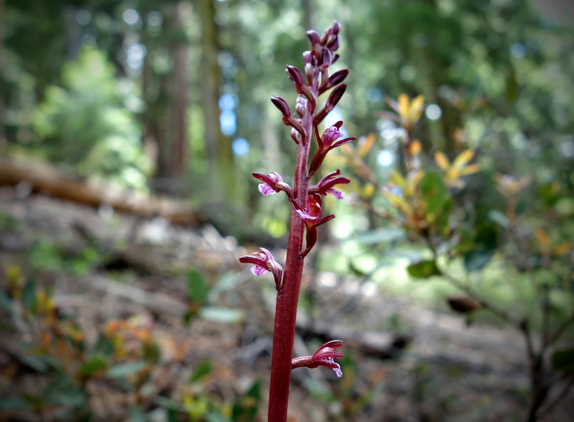
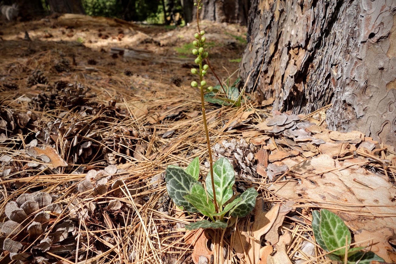
Bog Orchid

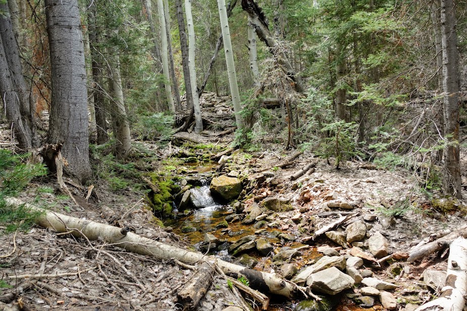
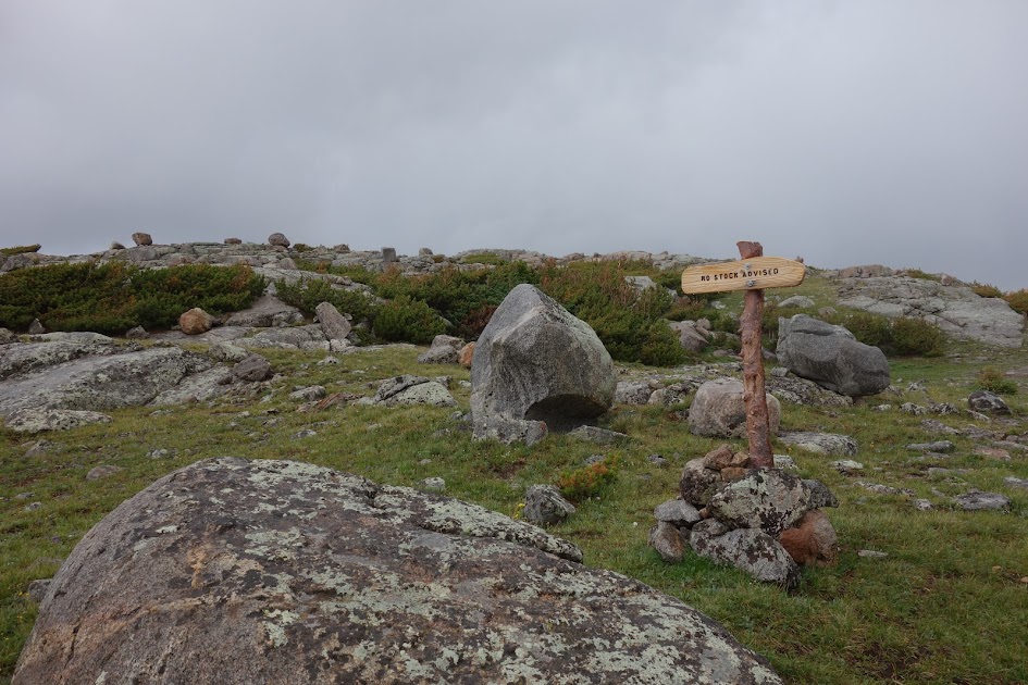
Let the fun begin. Where oh where does the trail go? If I were a trail were would I be? Shall I go through the swamp or the bushes? At least these were short enough they didn’t slap me in the face like I found at the 4-5000′ elevation.

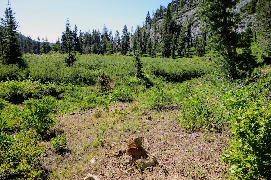
If you’re lucky you might find an old blaze on a tree, like this one without bark. How much longer will that tree be standing?

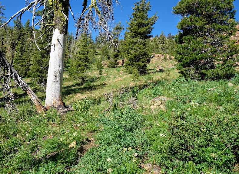
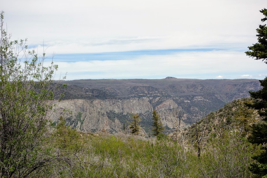
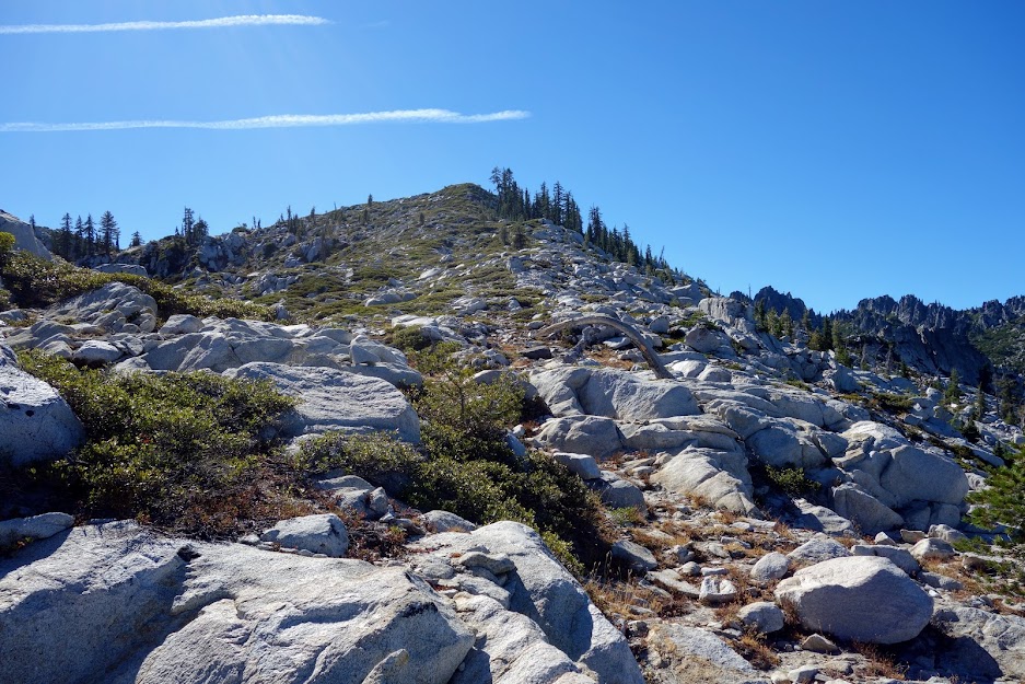
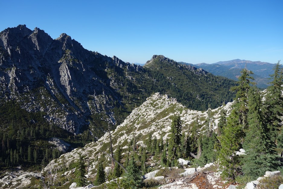
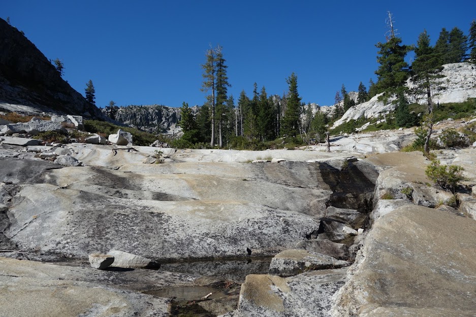
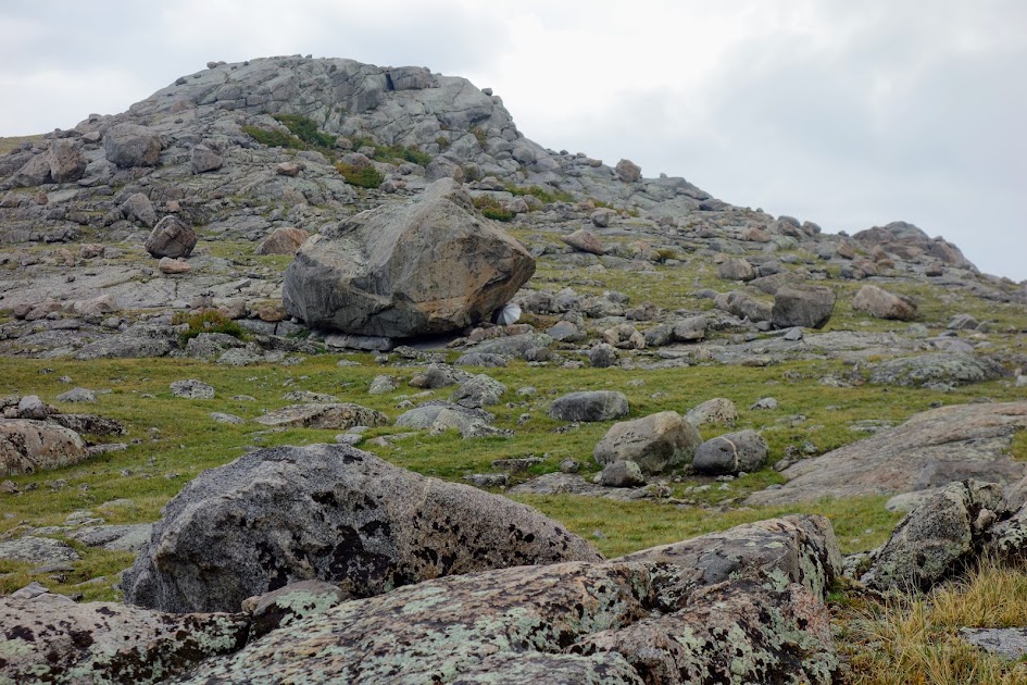
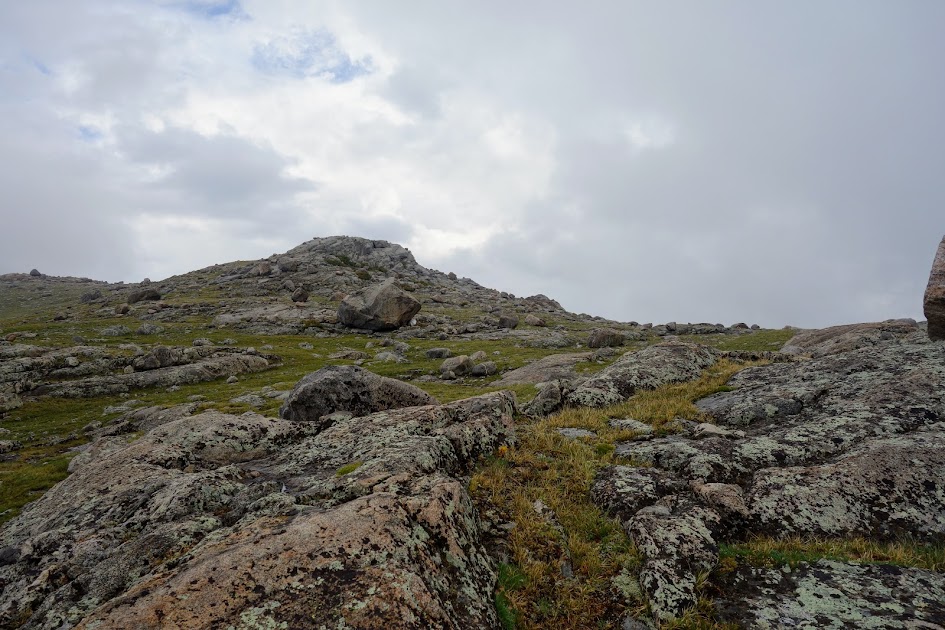
Look at those wide open views with plentiful opportunities for exploring.

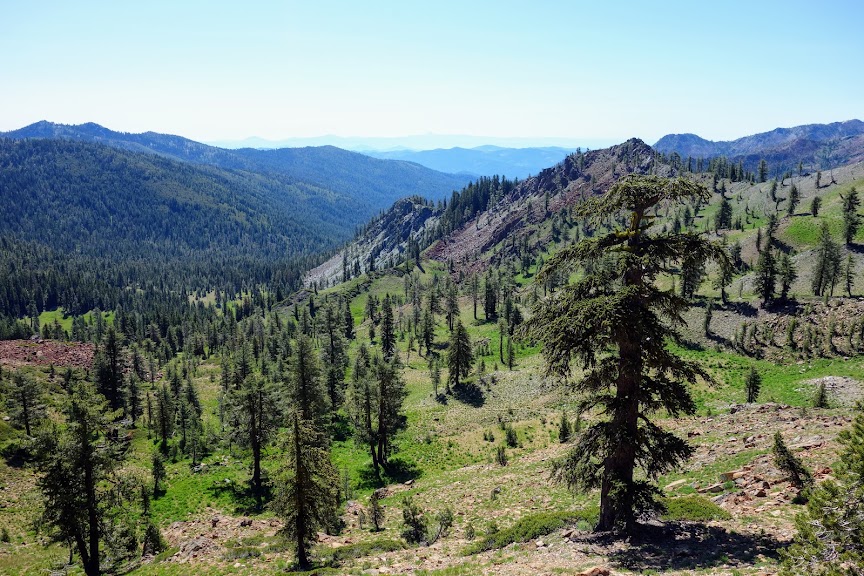
At 14.5 miles with 5,500′ of elevation gain and 2,300′ of loss, I arrived at the Yellow Rose Mine Trail.

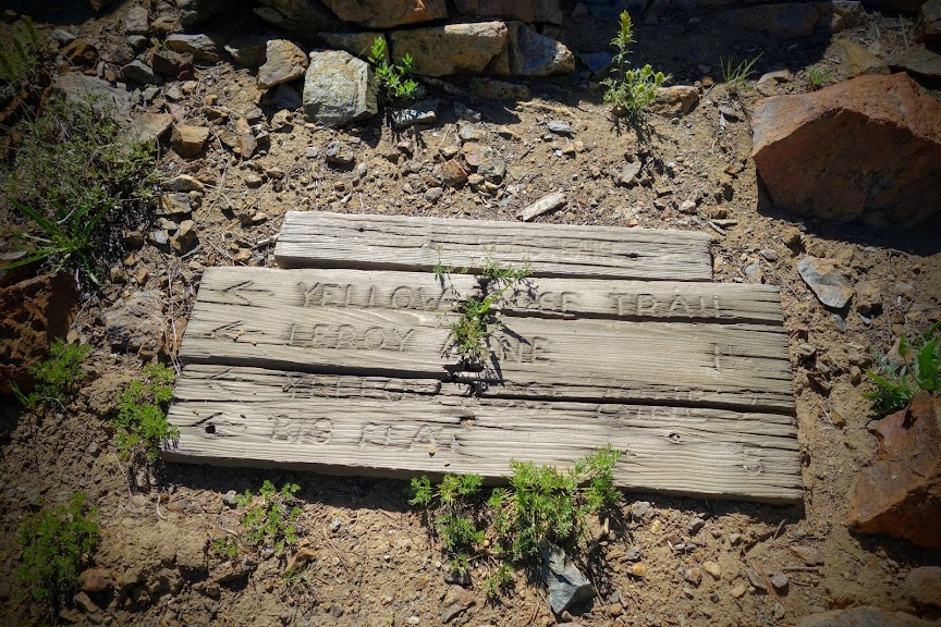
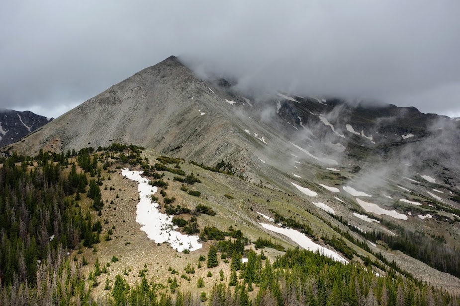
This notch is the shortcut route to Landers Lake. Doesn’t look too bad from this side. Red Rock Mountain is the left peak.

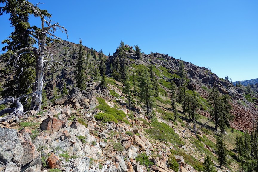
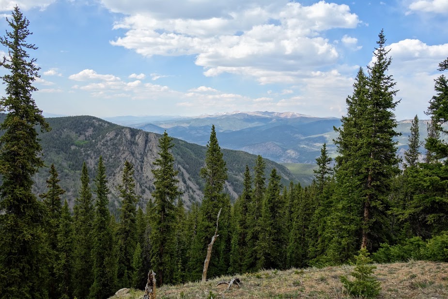
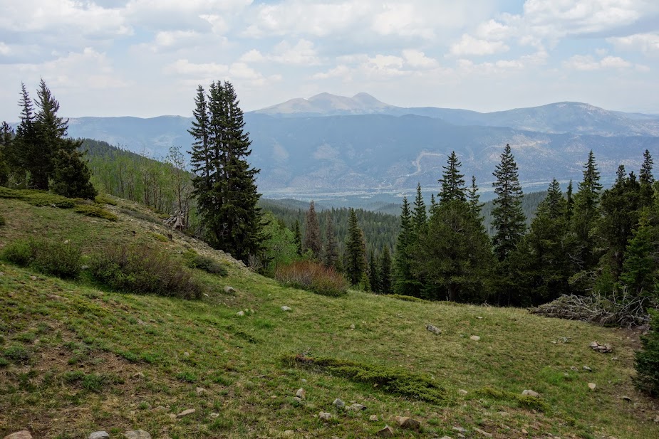
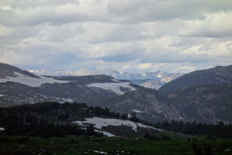
While many hike this loop to see the mining relics, my primary purpose was to see the mountains that flank the Salmon River drainage including the likes of this, Caribou Mountain and Sawtooth Ridge.

A recent hike included a trip to Horse Heaven, the high point above Tri-Forest Pass (blog link), the knoll at the far end of Sawtooth Ridge.

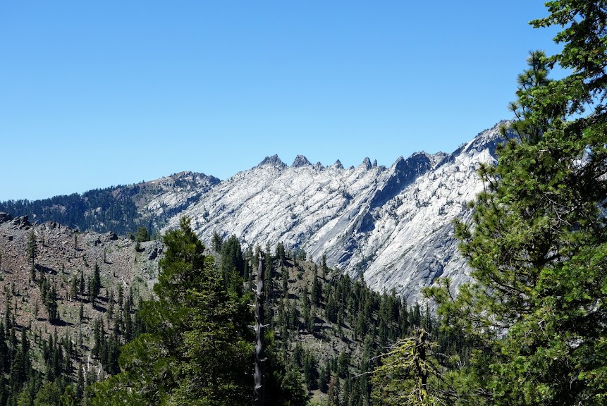
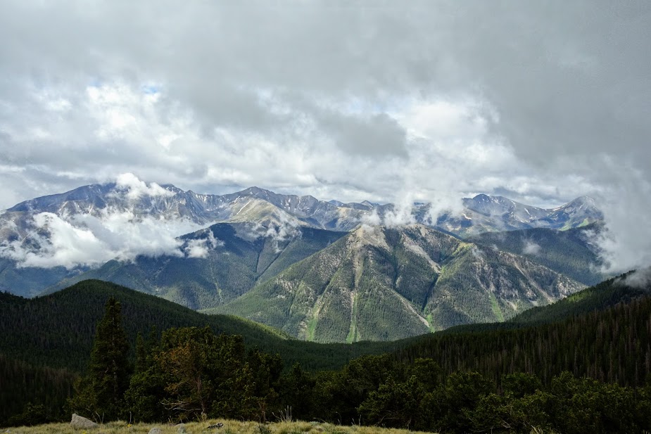
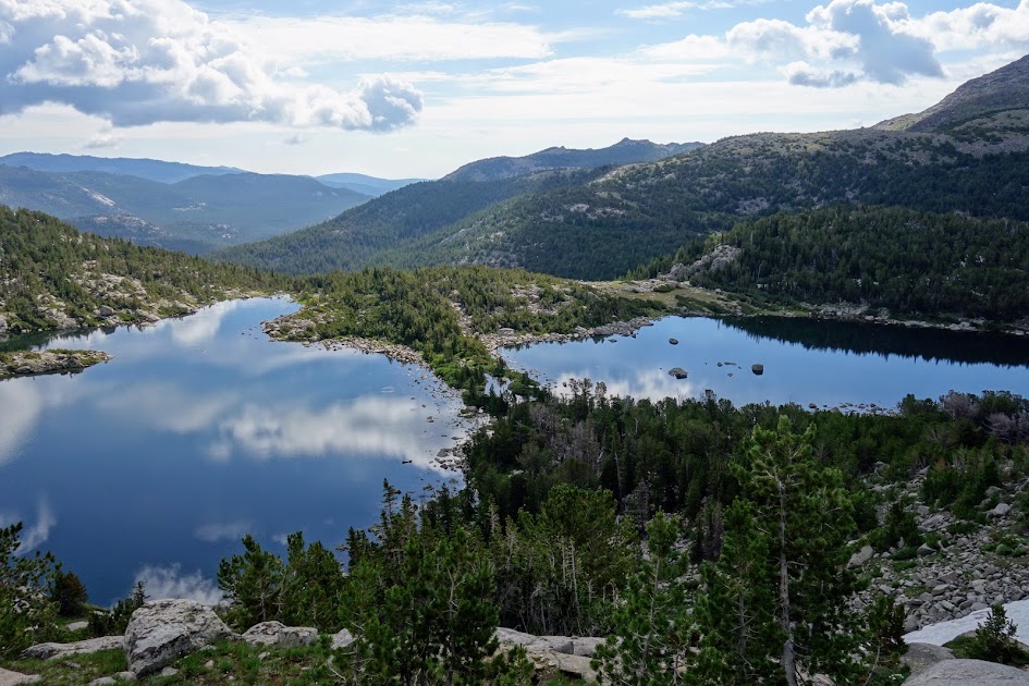
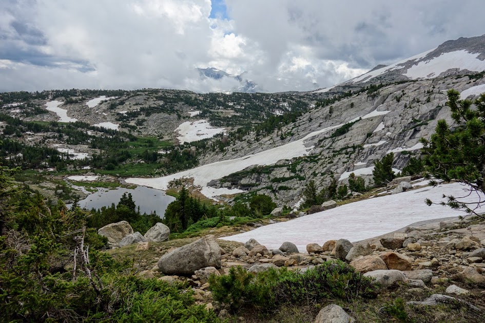
As you continue along the trail the views get better and better. This is Caribou Mountain with mostly private Josephine Lake easily visible in the middle of the photo. The Caribou Lakes basin is on the other side of the ridge. I believe that’s Caesar Cap Peak in the background, but it might be Thompson Peak.

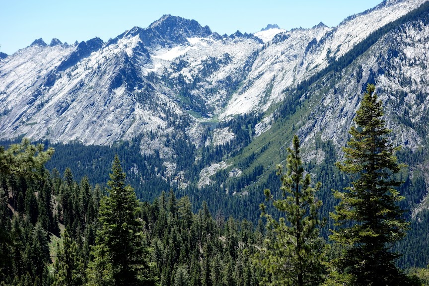
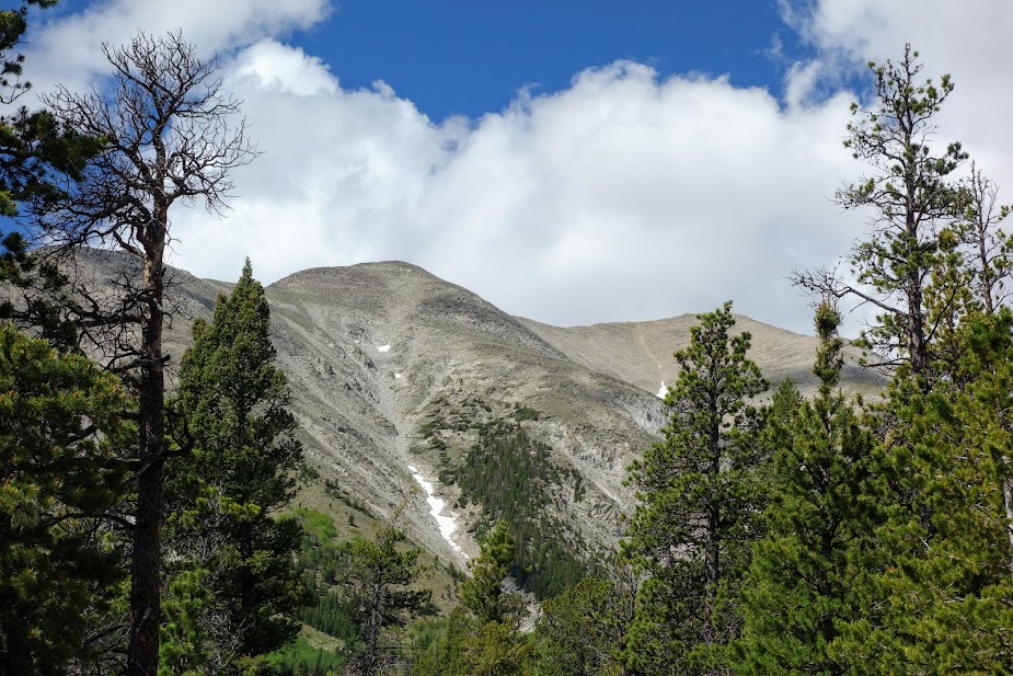
Preachers Peak at 7,202 look pretty unimpressive and easily baggable at the ridge between Yellow Rose and Dorleska Mines. Wonder who this Preacher dude was as there’s not only a peak but also a campground named after him.

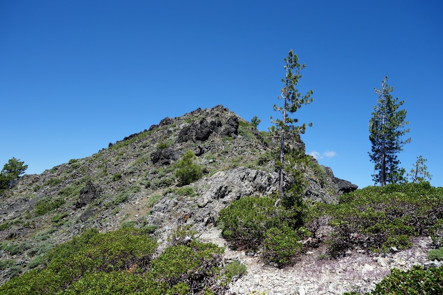
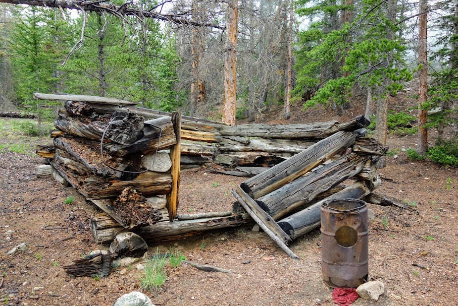
This was the first mining site I encountered except for a couple small pit mines with nothing that caught my eye worth sharing. I believe these are the remains of the Le Roy Mine. This USGS report (link) has some information regarding the mines. See page B131.

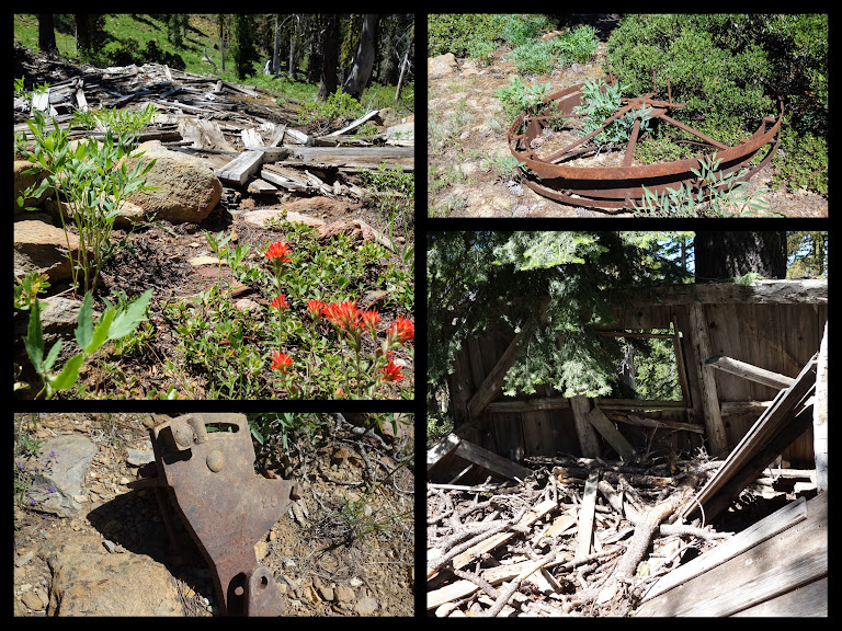
I believe these are the remains of the Yellow Rose Mine. This USGS report (link) has some information regarding the mines. See page B127.

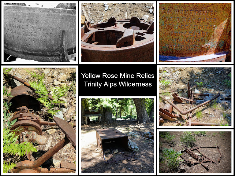
The Dorleska Mine sites were spread over several areas. Additional information can be gleaned from the document referenced above, same page as Yellow Rose Mine. It’s hard to imagine hauling all this equipment up these steep trails, made more for mules than humans, but back in the late 1800’s miners were made of hardy stock but by 1938 they were ready to leave it all behind.

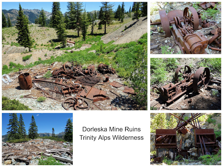
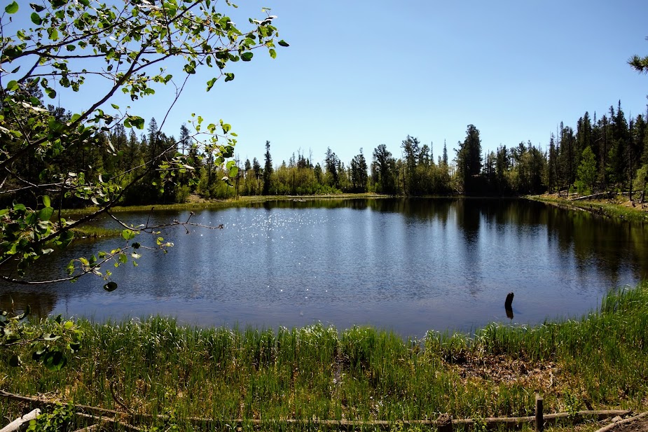
This pond just below Dorleska will forever hold negative memories.

I found myself flailing through deadfall on a steep slope and as I exited the shade, I realized my hat was gone. What? NOOOOOO! I usually have it tethered to my pack for this very reason. So back up to the ridge I went, searching searching searching and calling out to my hat, “BLUE oh BLUE where are you?”

Finding myself out of luck and a little mournful as I said goodbye to my old friend Blue. As I headed down toward Bullards Basin, I found this lovely meadow of Blue-Eyed Grass. It helped me deal with my loss.

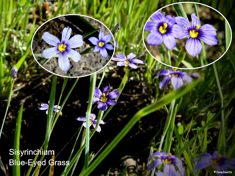
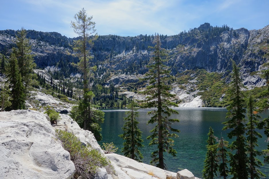
Foster, Lion, Conway and Big Boulder Lakes

After 21.5 miles with 6,300′ elevation gain and 4,600′ loss, I reached the junction for the Lion Lake Trail, bypassing options to Union Lake.

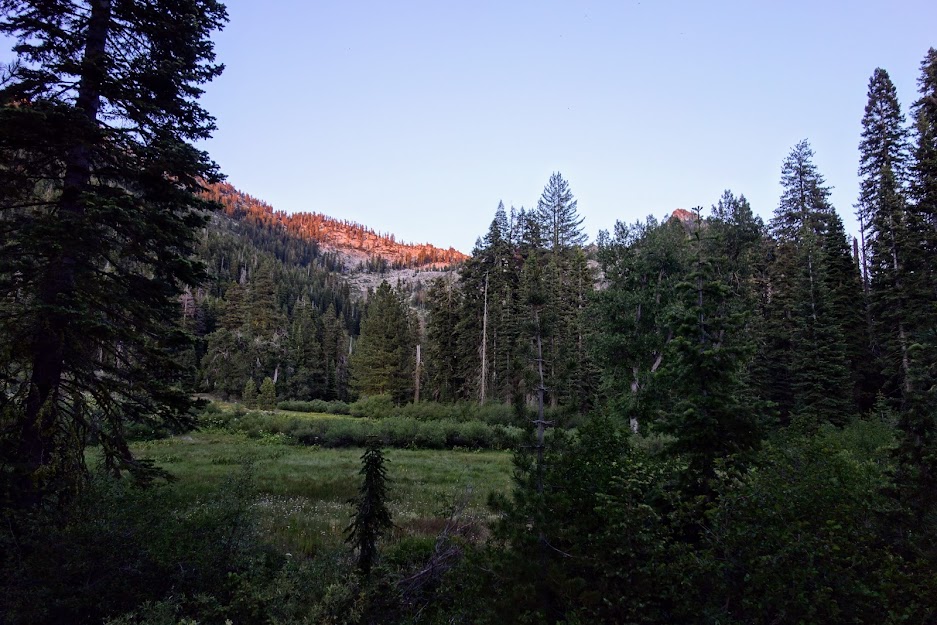
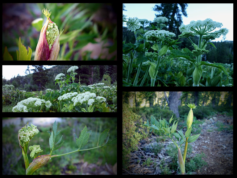
I got an early morning start climbing up the ridge. I was greeted by this meadow of Cow Parsley.

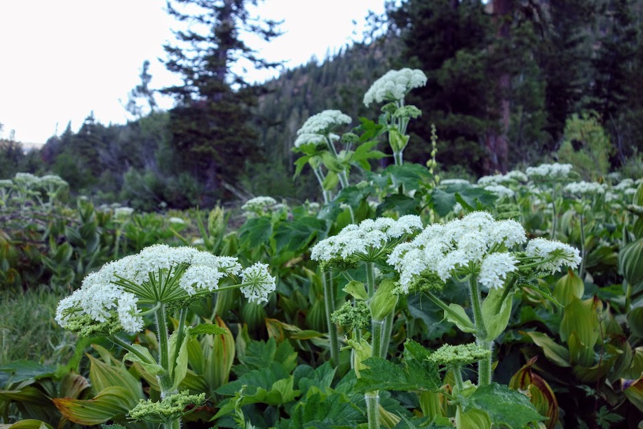
I had awesome views looking back at Red Rock Mountain and the ring of peaks hiding Landers Lake.

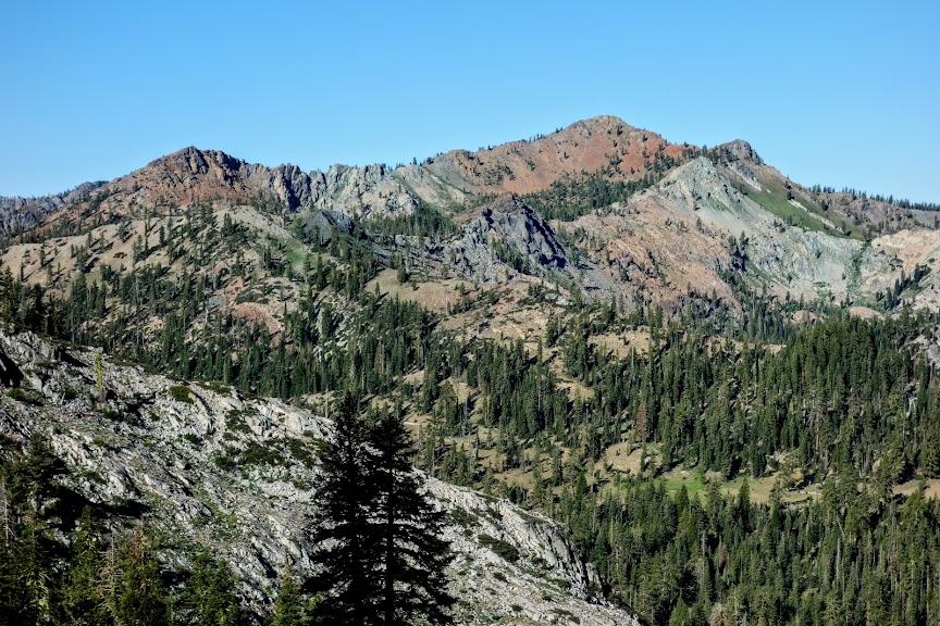
Looking back I can see down to where I camped the previous night, the drainage leading around the bend to those views of Caribou Mountain and of course Red Rock Mountain with Landers Lake in the front and the mines on the other side. You can’t see in this photo, but there is a huge swath of headless trees which I’m assuming are the result of an avalanche at some point in the past.

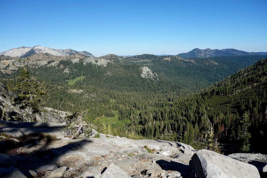
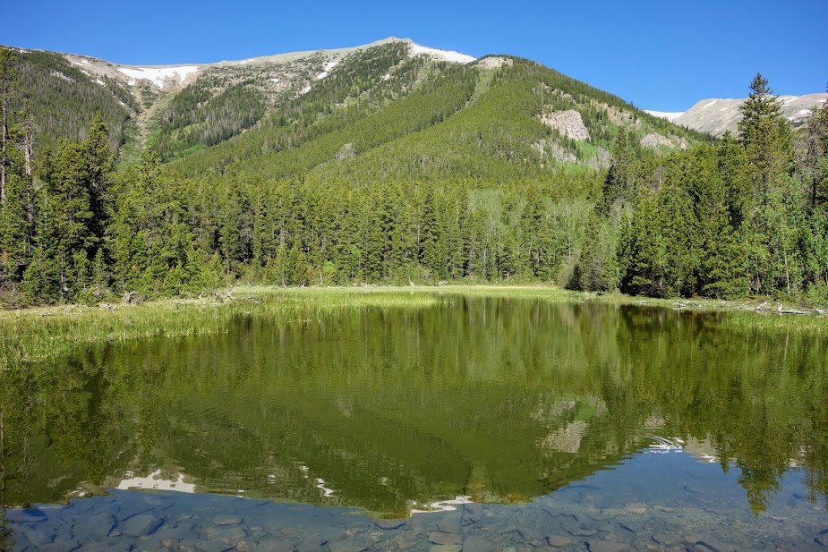
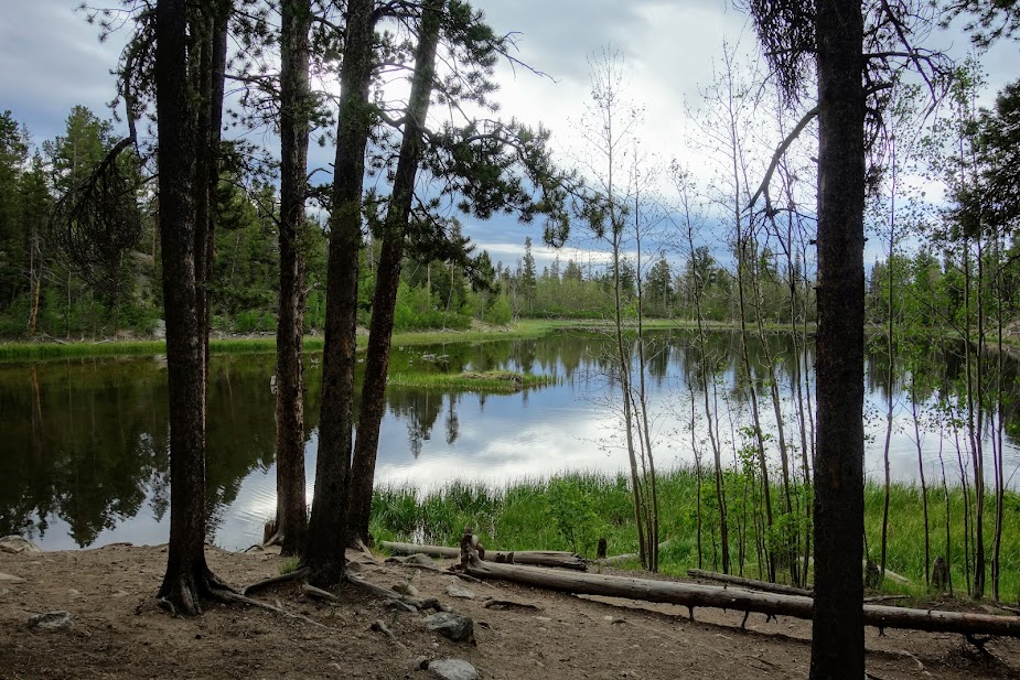
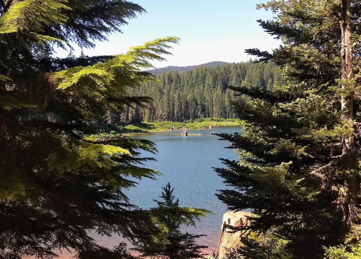
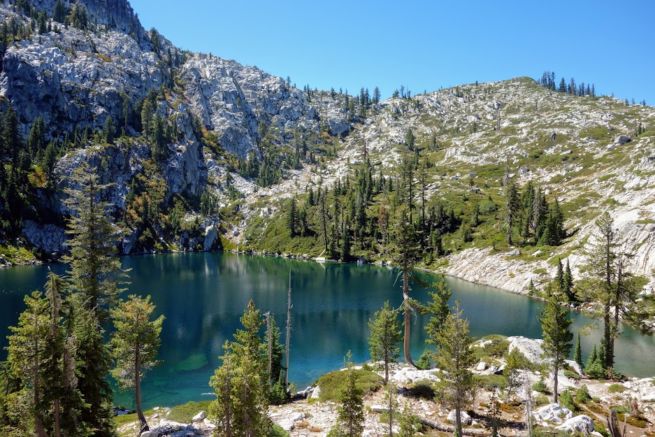
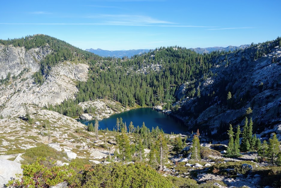
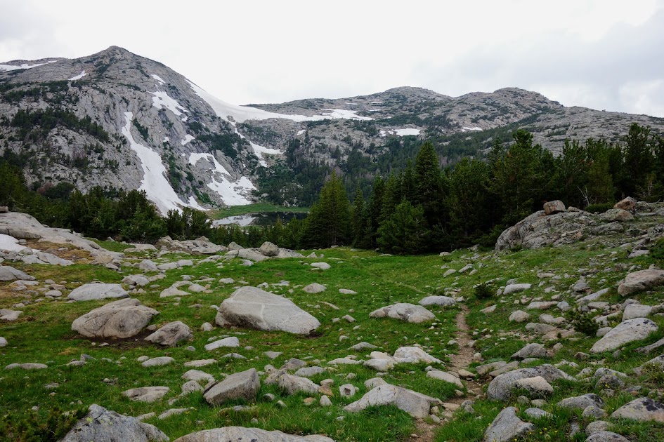
Finally I was back at Foster Lake, a place I’d visited in 2014 on my loop hike from Boulder Lake trailhead to Foster Lake, then down to Thumb Rock and Lilypad Lake before returning to the trailhead (blog link).

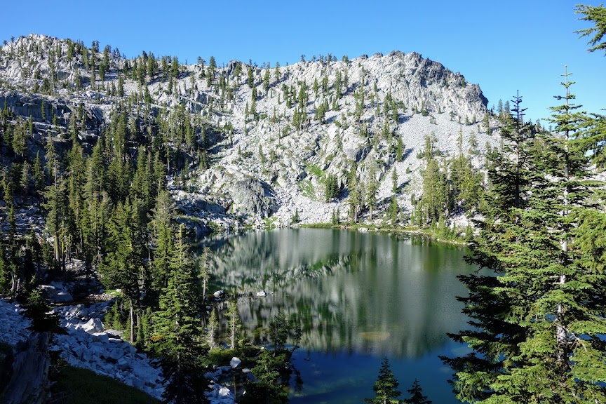
It was time to try out my invention. My eyes are extremely sun sensitive and knew I’d suffer without a visor. So as I was packing I placed my Nat Geo map inside a gaiter which went inside another gaiter. They have elastic cords at one end that usually hold them up and I was able to attach those to my ponytail, using a buff to keep it on my head. I’m happy to report it worked well for my final two days, never bouncing around or falling off. Function wins over fashion!

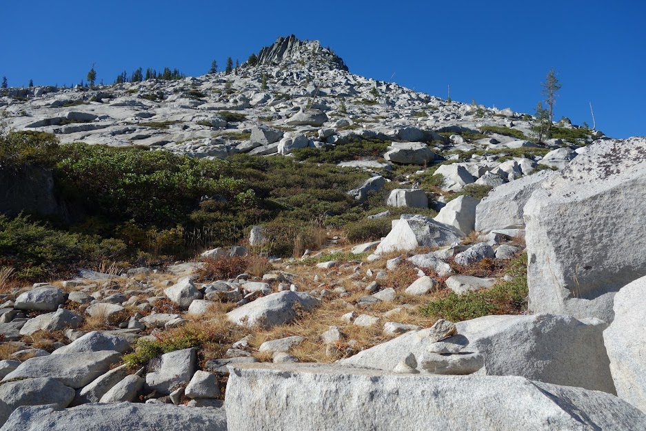
The trail building efforts from years begone through the granite have remained firmly in place. The staircases are much appreciated.

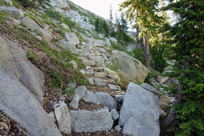
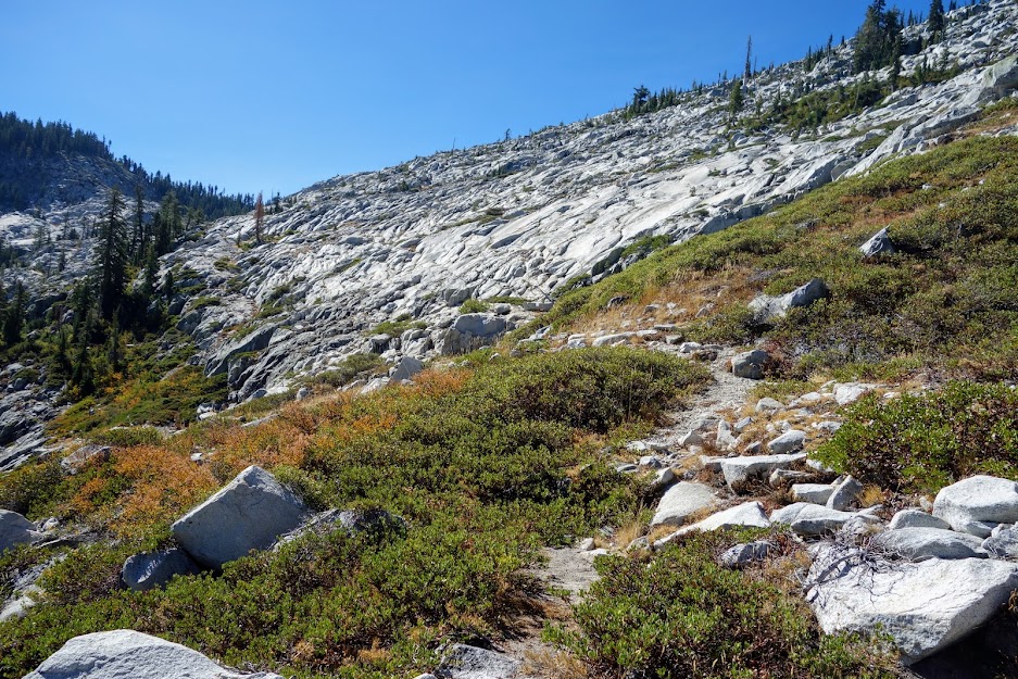
However, the trail traversing along Lion and Conway Lakes is quickly becoming more of a deer path rather than one for human use. If you have exposure and sideslipping trail issues, I’d have second thoughts.

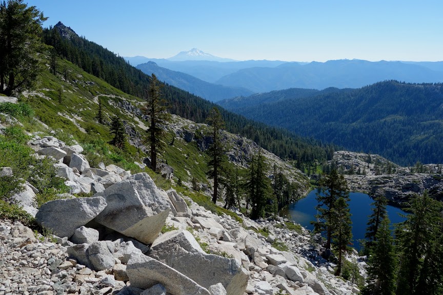
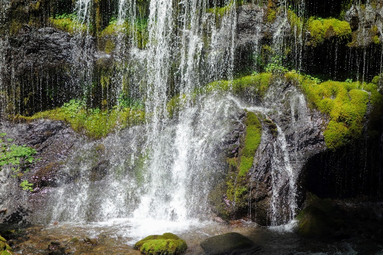
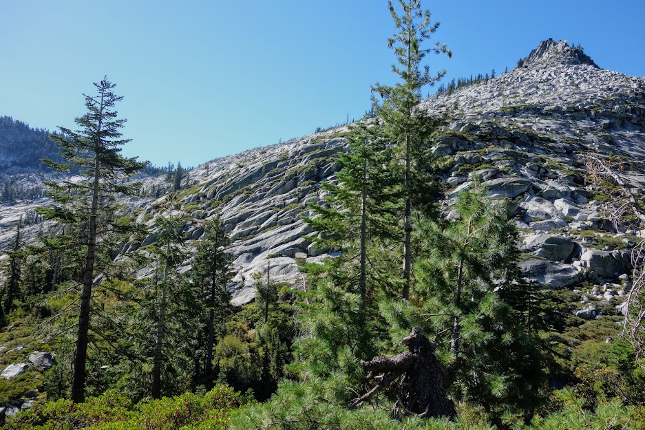
I loved this stretch showcasing nature’s gardening.

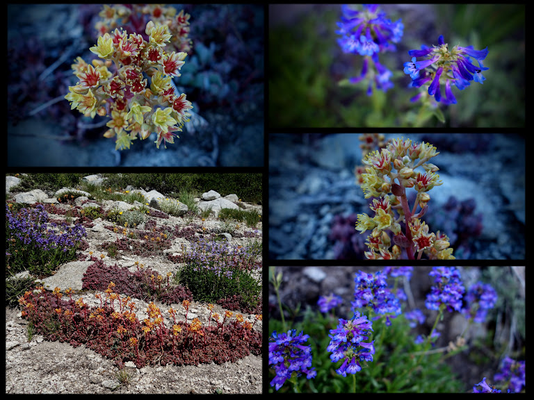
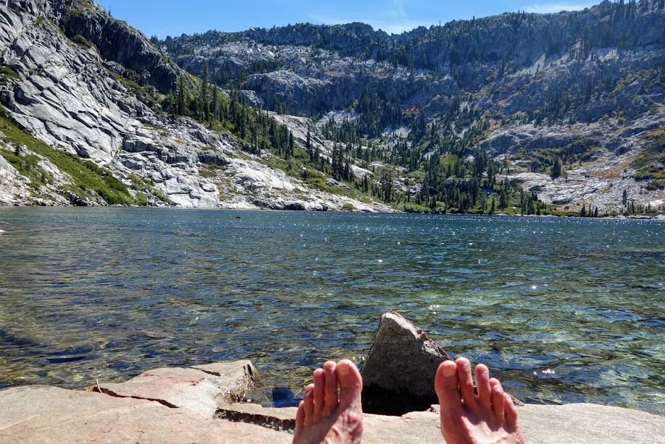
As I dropped elevation I was faced with more down trees, blow down and overgrowth. There was one obstacle so large there wasn’t safe passage but I had to figure out a way and take my chances. This trail needs some love. I was feeling pretty grumpy coming into Big Boulder Lake. I was prepared for it to be busy as it’s very near the Boulder Lakes Trailhead. Upon arrival there was an obnoxious couple cussing up a storm and a group camped on a distant shore. I wandered the shoreline looking for a place I could access the lake for a swim. No real options except in the overused camping area so back I went. As I was getting ready to swim several other groups arrived. One group decided to start a fire. It was 2pm and hot enough to want to be in the shade. What’s next? That’s right the stereo is fired up and the booze comes out. Yep that was my cue to get myself up the trail. On a positive note the swim was invigorating and a few of the lilies were blooming but they were too far from shore to get a photo.

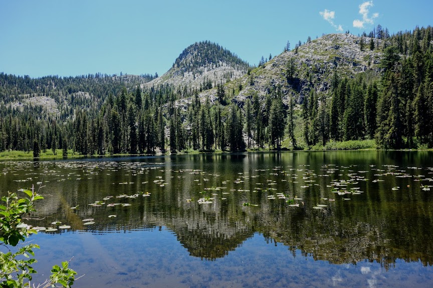
My original plan had been to go off trail to Tapie, Lost and Found Lakes which are hidden behind the granite mounds to the left in the below photo; Big Boulder Lake is in the middle. Since my route had been much more challenging than anticipated, I was not only short of stamina but was also on food rations. I noted the jump off point for a future trip.

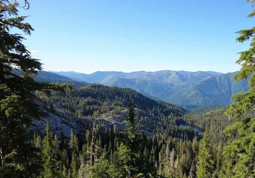
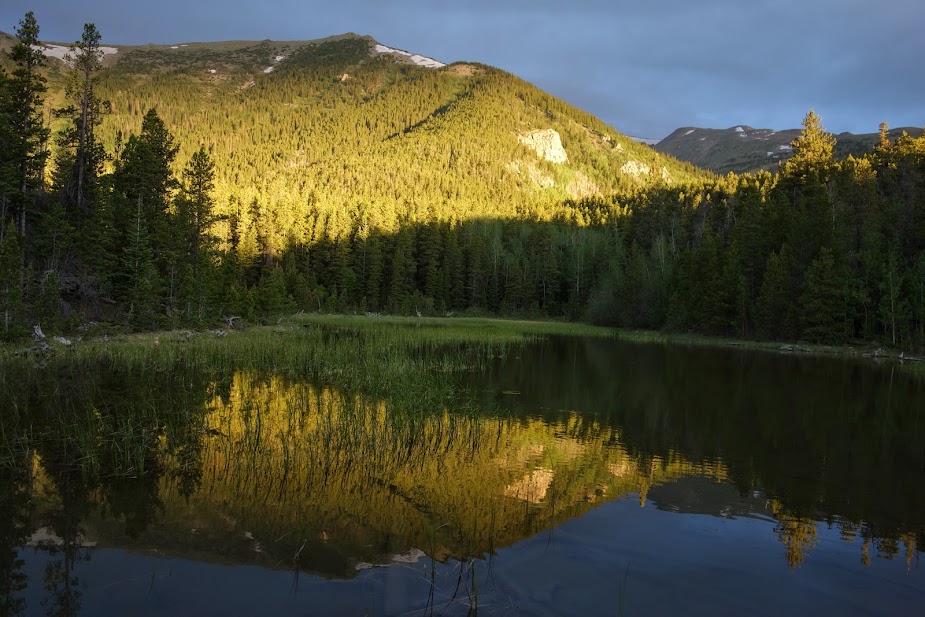
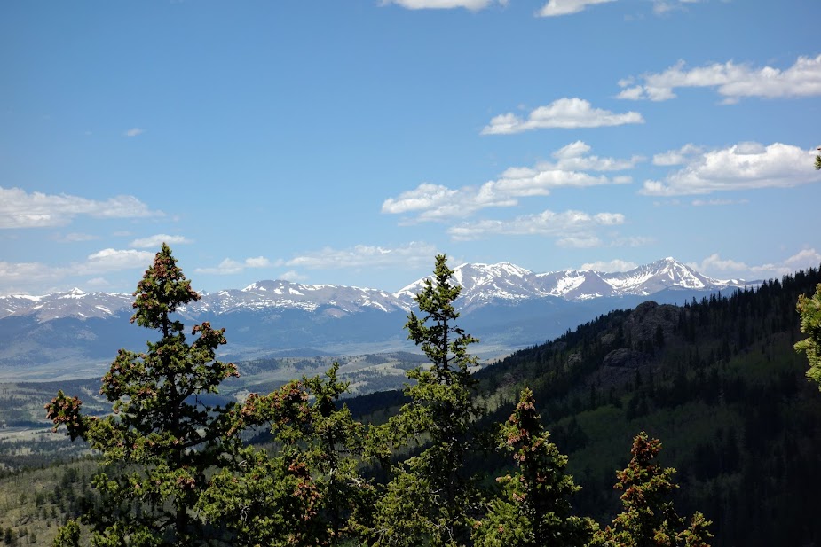
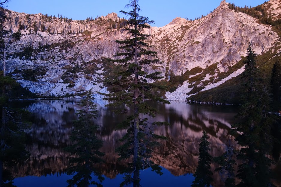
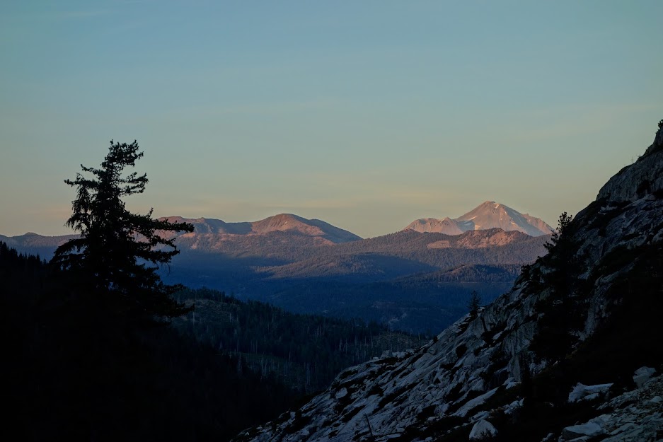
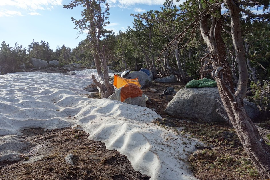
Instead I decided to spend the night on the ridge, enjoying a few hours with Mt Shasta and capturing this wonderful sunrise.

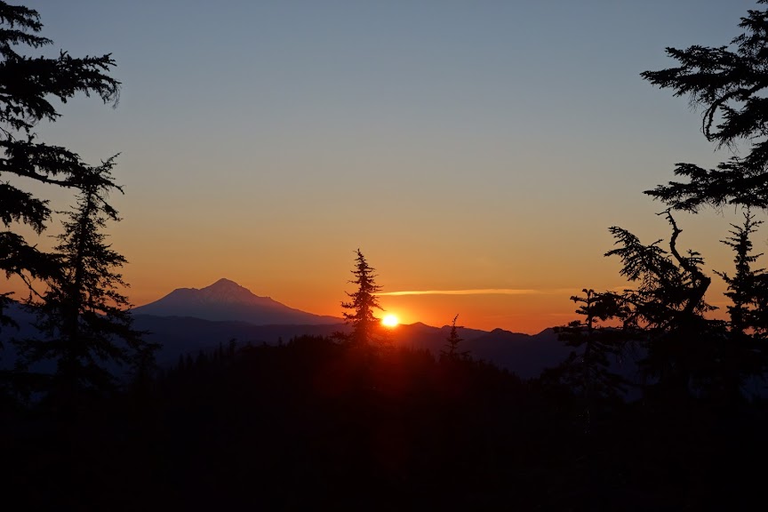
With my rationed food selection, it was time to chow and start the long downhill descent.

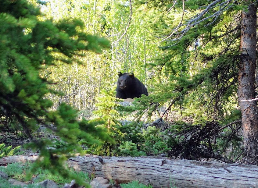
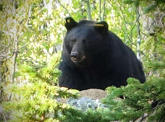
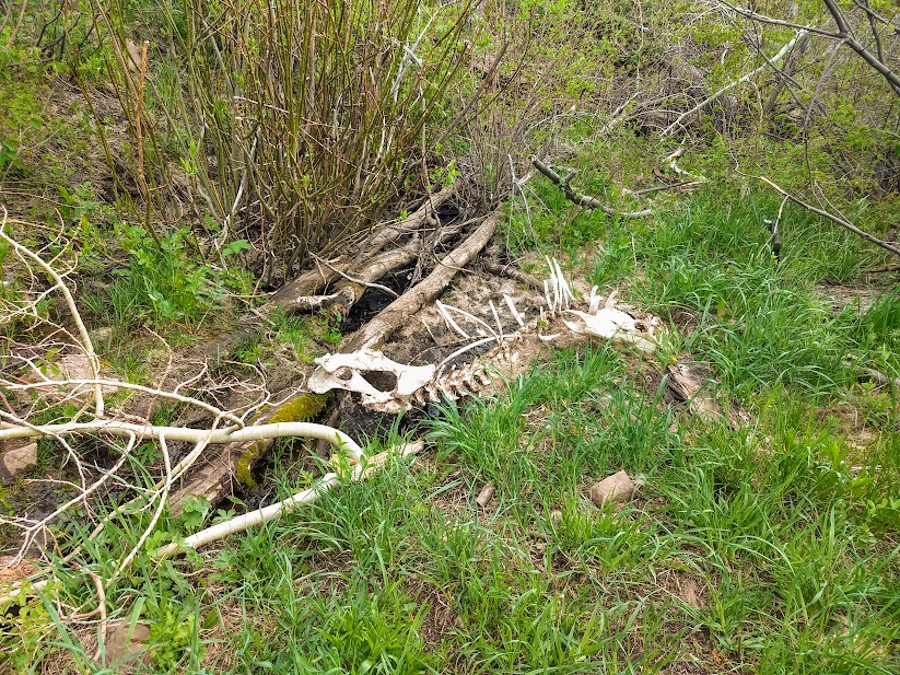
The bears seem to like this brushy canyon. This was about the freshest pile I’ve seen. Once before I came upon a pile still steaming, but this one was still had a nice urine ring. I saw another pile about a mile later. Never saw a bear but saw plenty of evidence throughout this route.

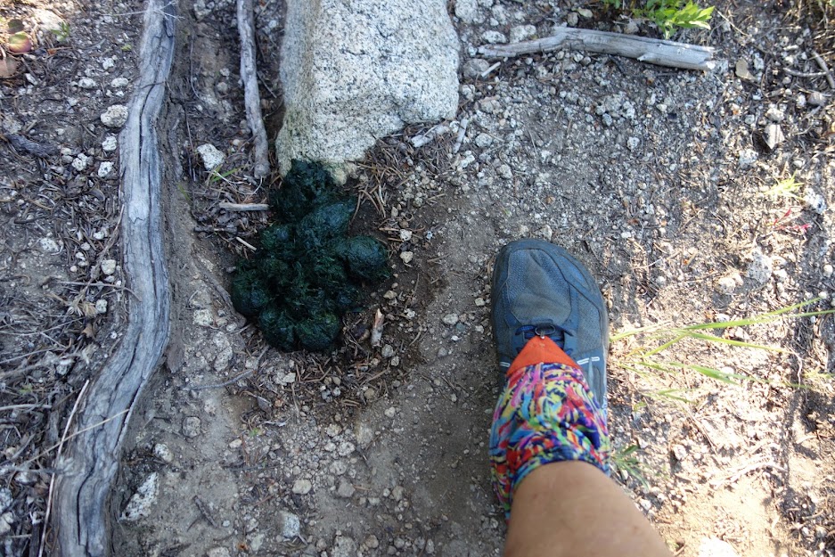
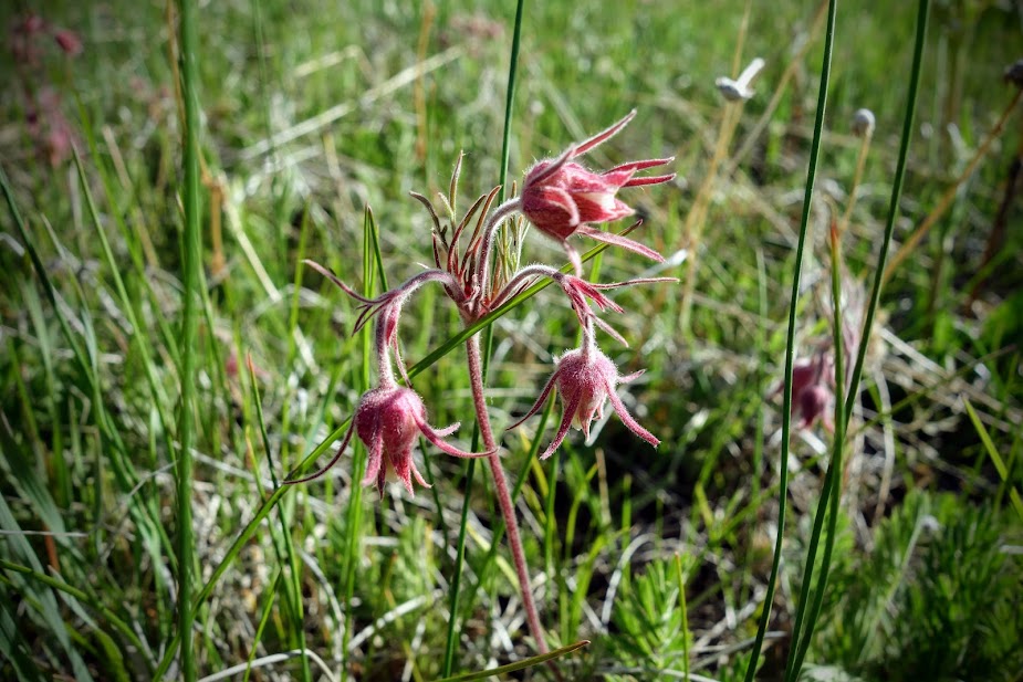
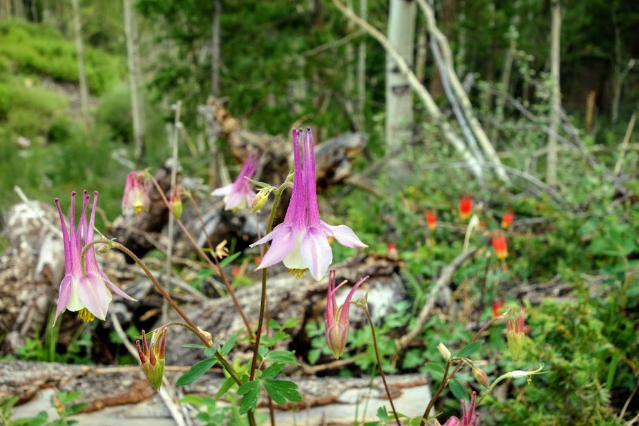
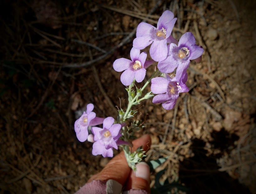
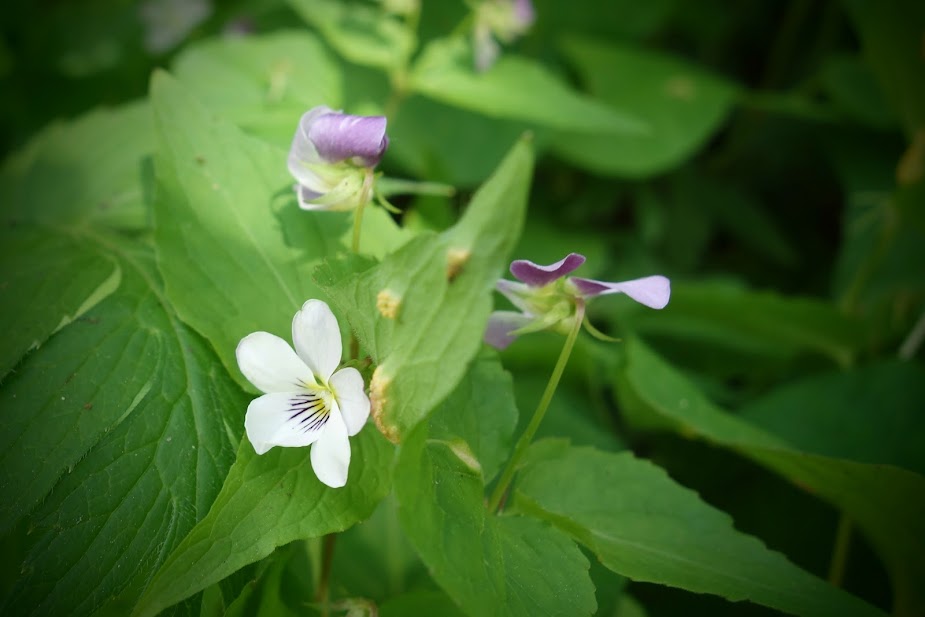
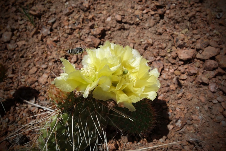
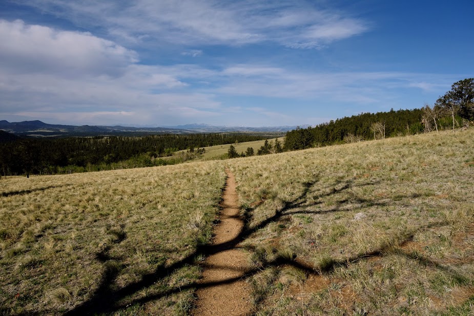
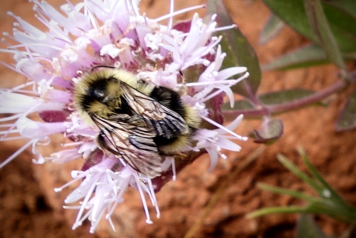
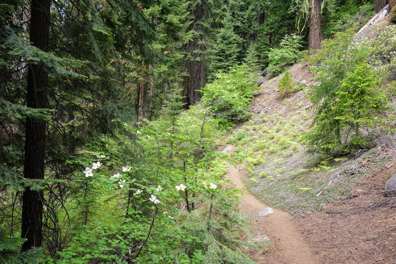
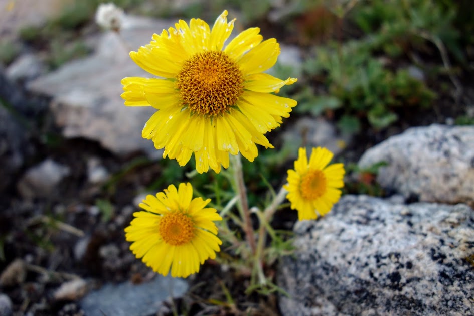
The next section of trail was through more down trees, blow down, overgrown bushes, through meadows, etc. I was so tired of getting slapped in the face with branches and having my face draped with webs. But I survived and lived to tell this story. There is no better way to end this post than with a few more of the blooms I saw on this lollipop loop route.

Followed by a well deserved meal.

Adventure Dates:

  • June 28 – July 2, 2020

Hike Details:

Resources:

Links:

Disclosure: Amazon affiliate links may be included which provide me a tiny kickback to help pay for this site.

WY – Bridger Wilderness, Elkhart Trailhead (Part 2 of 4)

After an outstanding day at Titcomb Basin, I worried about the rest of my trip. Would I be underwhelmed? As is common, I frequently have little or no advance information about an area, so expectations are pretty much non existent. This was the case with Indian Basin, although I’d been told it was an area not to be missed. 

I believe this is Pothole Lake near the junction of  Titcomb Basin and Indian Basin.

If you thought the above photo looks cold, you’d be right. There was as they say frost on the pumpkin

There was even a newly formed thin layer of ice on some of the ponds. 

Spring comes late at 10-12,000 feet. With wildflowers like these Columbine, you won’t hear me complaining.

By a little after 9am, I was back at the Titcomb/Indian Basin junction. 

I took time to explore an unnamed lake near the trail. 

Back on trail, I took a break near this beautiful waterfall. 

The waterfall looks so small in the big picture, but it was huge and had quite the voice. 

Since I liked the waterfall so much, I decided to set up camp nearby so I’d be carrying a little less weight while ascending Indian Pass. In retrospect it was a great idea as the basin was extremely wet and not ready for camping.

A close up view of the little pond just above and to the left of my tent. 

Soon enough I was back on trail. 

You can see the pass. It took me about 2.5 hours from the waterfall.

Looking back from where I’ve come.

Walking near this collapsed snowfield was a bit scary. By the way, there was a LOT of snow to walk on while ascending Indian Pass.

There were so many false summits. Would I ever reach the top? 

FINALLY, the stick that represents the summit. 

Looking back in the direction I’d come and off toward Pinedale. 

View from the top to the other side. Not very impressive especially as I was expecting to see glaciers. 

This is part of Knife Point Glacier. Sadly, it is still covered in snow so no evidence that it was a glacier. 

I enjoyed the views just as much during my descent. 

Back at camp as I watched a marmot play, I saw this very sad rock. I’m sure he wished he were round, but I told him it was okay to be different and he needed to turn his frown upside down. 

This solo rock should help frowny rock with that smile. 

I think maybe Big Agnes got ideas for their color palette from this sunset. 

To be continued . . .

Hike Details:

  • Date(s) Hiked: 8/18/17
  • Mileage: Approximately 10 miles (conserving battery so didn’t track)
  • Elevation Gain/Loss: Unknown, constant up and down (conserving battery so didn’t track)
  • Trail Conditions:
    • Tree obstacles: none
    • Overgrowth: none
    • Signage: moderate on main trails
    • Terrain: muck from wet ground, consolidated snow travel, rocky
  • Water: plentiful
  • Camping: not very good at this time due to everything still being snowy or soggy
  • Solitude: Expect a few day hikers
  • Bugs: plentiful but I didn’t use any repellent this trip
  • Wildlife Sightings: none beyond birds, squirrels, chipmunks, pika, and marmuts
  • Precip: None this day
  • Temp: Dropped to 33 overnight in my tent
  • Jan’s Cherry Picker Delight Scale: 4++ cherries (out of 5)

Tips:

  • Be prepared for altitude, elevation changes, weather changes, bugs and navigation. Also review current food protection requirements/guidelines (I used an Ursack with an Opsack liner). If I were to hike this loop again, I’d use my bear canister as in many areas there were no trees to use as an anchor for my Ursack.

Links:

Resources:

WY – Popo Agie Wilderness, Worthen Meadows Trailhead (Part 2 of 3)

After enjoying a memorable morning at Lower Deep Creek Lake (see previous post for details on the hike to the lake), it was time to dry out my gear (snow fields create lots of condensation, as does setting up in the rain). Sunshine makes me happy! 

As my gear dried I watched the mackerel clouds. Did you know there are a ton of poems about these formations? I think this one is most appropriate, “Low’rin clouds, low’rin skies, Stay indoors if you are wise. Mackerel sky, mackerel sky, Never long wet, never long dry.” 

And after the storm, the flowers were heavy with damp, but all shiny and clean. 

Goodbye for now Lower Deep Creek Lake

It was time to head south on the Ice Lakes Trail #706, that is as soon as I could find it. 

I was trying to avoid this mess, home of the real trail.

After a bit of navigating, I found clear trail. I was prepared to turnaround if conditions were too gnarly.

There was plenty of snow around, but little on the trail that couldn’t be avoided.

Happy splashes of color could be found around every corner. It feels like spring, even though it’s the last week of July.

Blue or purple columbine, just like in Colorado. Stunning! 

And then I found a yellow one. 

Water was rushing gushing creating nature’s music and near constant wet feet conditions. 

This lake or pond was still partially frozen over and the entire surface was covered in a thin sheen of ice. 

Hello reflection! I believe this was Ridge or Cliff Lake

I climbed a hill to catch this view of Jug and Boot Lakes or maybe Ridge Lakes?

Cliff Lake? I was so distracted by the beauty I forgot to notate times on my maps so they’d coincide with my camera time. Please help me out if you know the correct names.

Since I promised myself I’d mostly stay on trail, I avoided further exploration of other lakes in the Ice Lakes Basin and instead headed up to the first pass where rain was threatening. Remember those mackerel clouds? 

The lighting was amazing as I watched the storm ebb and flow. 

I climbed off trail for better views. 

See my umbrella? I hid out under this rock and had lunch waiting out the storm, then climbed to the top of the boulders for more views. 

Oops I overshot and hiked down well below my umbrella rock. Look closely . . . I guess I needed those bonus miles. 

With the storm giving me a bit of a reprieve, I knew it was time to say goodbye to my roost and head to a protected area before thunder and lightning made an appearance. 

You know you’re going to be in for some technical descending when you see a sign like this. Should be fun with wet slick rock.

First easily unavoidable snow on trail. 

The views were outstanding. 

Then back to clear trails. 

As I rejoined the trail after my extra credit sightseeing at the pass, I met Bill who was also hiking south. He is an avid fisherman and was heading to Tayo Lake. It was on my possible list, so we decided to share some miles on this much less maintained trail (Tayo Lake #707). 

Bill taking a walk on the wild side, wildflower side that is. 

Bill caught a beautiful Golden Trout at stunning Tayo Lake. 

About 4:30am, Bill woke up and said I think we are about to get wet. We had to quickly put on our rain tarps as we both enjoyed the stars through the mesh of our tents sans fly. 

I got up to watch the storm. Found this great rock to lounge on while staying warm bundled in down and drinking hot beverages. Let the entertainment begin. Who needs a TV?

The storm commeth’, the storm goeth’, and Bill fisheth’.  Notice the iceberg in bottom left corner near Bill. When we arrived last night there were two large chunks of ice floating not far from shore; after the storm only one remained and it was headed toward the outlet.

To be continued . . .

Hike Details:

  • Date(s) Hiked: 7/26/17
  • Mileage: Approximately 8-10
  • Elevation Gain/Loss: Unknown, didn’t track but plenty
  • Trail Conditions:
    • Tree obstacles: none
    • Overgrowth: none on Ice Lakes Trail but plenty of Willow thickets on the route to Tayo Lake
    • Signage: good, plan for cairn and route finding on the Tayo Lake Trail
    • Terrain: moderate, plan for snow and muck travel
  • Water: plentiful
  • Camping: excellent
  • Solitude: Expect company on the Ice Lakes Trail but less likely on the Tayo Lake Trail
  • Bugs: plentiful but I didn’t need deet
  • Precip: expect thunderstorms in July
  • Temp: Overnight varied and seemed to fluctuate a lot from low 30’s to high 40’s; daytime highs were probably in 70’s.
  • Jan’s Cherry Picker Delight Scale: 4+++ cherries (out of 5) (would have been a 5 if I could have accessed Tayo Lake without mucking through bogs and bushwhacking through willow thickets)

Tips:

  • Be prepared for altitude, elevation changes, weather changes, snow, bugs and navigation.

Links:

Resources: