While you’ll find information for Tangle Blue Lake in guidebooks, it takes more than casual preparation to find the trailhead as there’s no signage at the highway junction. In fact this sign at the trailhead no longer exists. This is a photo from my 2013 visit. 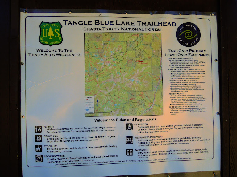
This is your 2020 welcome board. 
You’d be hard pressed to find anyone refer to this as the Grand National Trail, named for an old road to the Grand National Mine. This sign has been defaced since I took this photo in 2013. Maybe because the mileage isn’t exactly accurate. It’s now 3.75 miles from the trailhead to the lake although I’m not sure how far along the trail this sign is located. 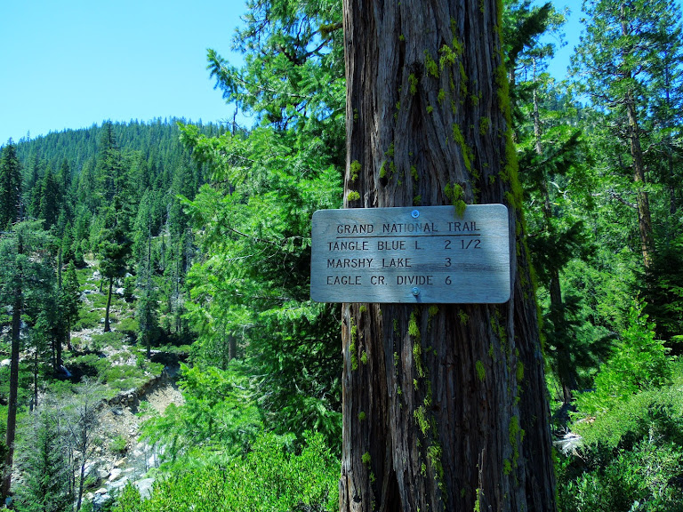
This sign is long gone as well. I’d like to think it was removed by the Forest Service for maintenance rather than stolen. 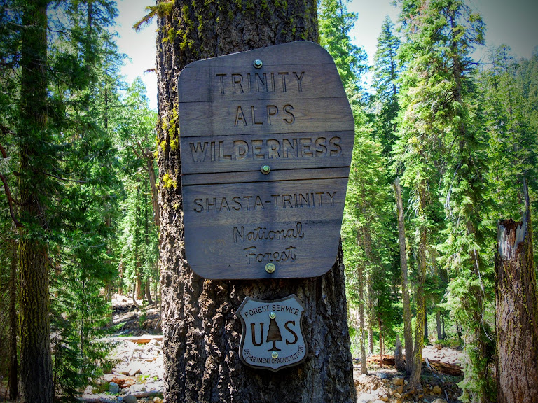
Expect 1,200 feet in elevation gain on a well-used, rocky, easy-to-follow trail. According to Mike White’s Trinity Alps book, “Legend suggests that Tangle Blue Lake and Creek were named by an early resident of the area who started his trip into the wilderness after awaking from a long night of partying to find his feet tangled and the air blue.”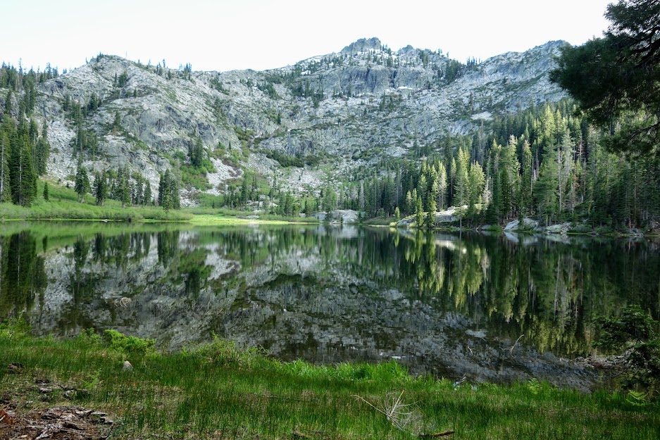
It’s a rare treat to get the lake to yourself like I did. There are far more private campsites along the creek or further up the trail.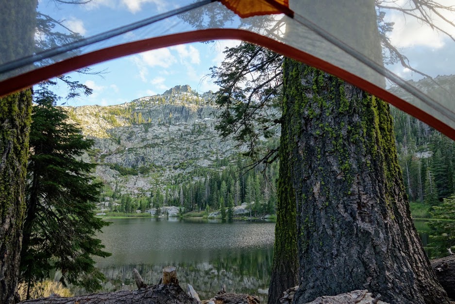
Marshy Lakes
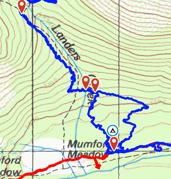
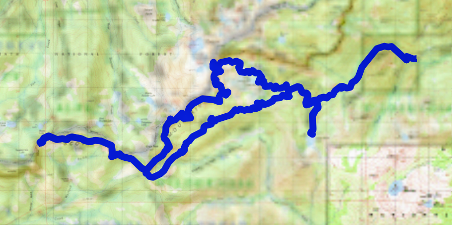
There are several options for exploring off the main trail, although signage is somewhat lacking and trails are not necessarily maintained. My goal for this trip was to hike to Marshy Lakes, then up to East Boulder Lakes, followed by a northwest jaunt on the Pacific Crest Trail, then returning on the Tangle Blue Lake Trail which connects to the Eagle Creek Trail.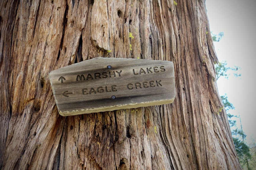
You’ll need decent navigation skills to find the lakes. Along the main spur trail, you’ll see a pond before finding a trail near a “no hunting” sign which leads to Little Marshy Lake.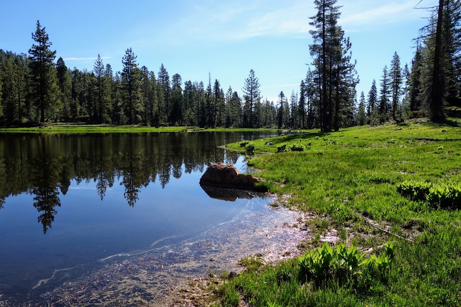
There is a mighty fine camping area which is on private property, a carve out in the wilderness (shown below on the map). The memorial is for a mule or horse. They even have piped water to a faucet. So fancy!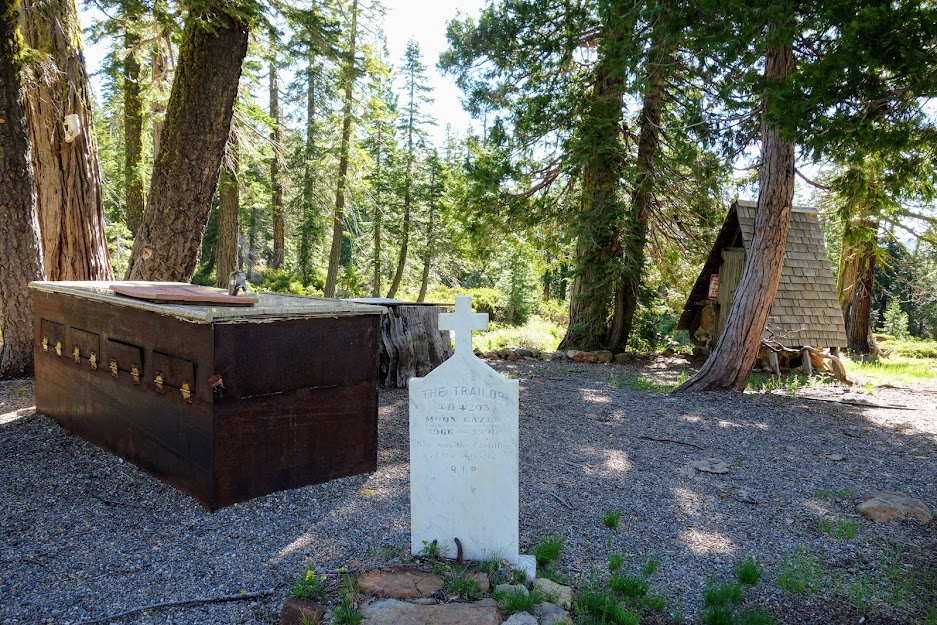
The lighter shade on the map represents private property which includes a little more than half of Little Marshy Lake, the end with the camp. 
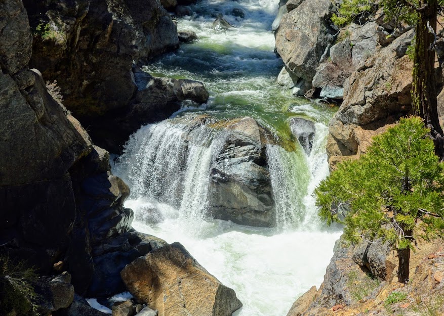
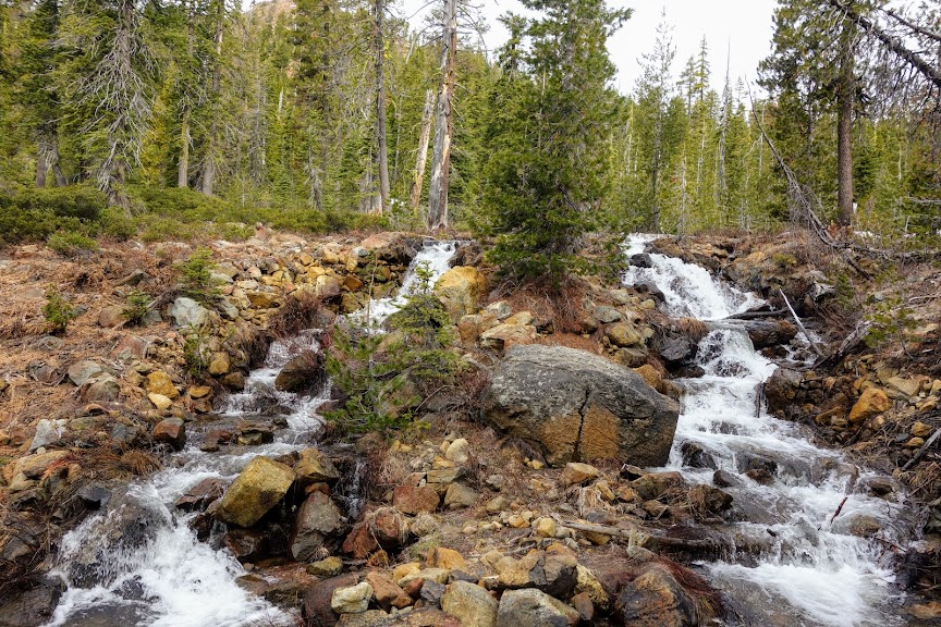
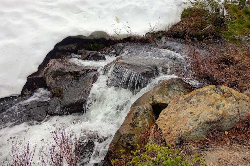
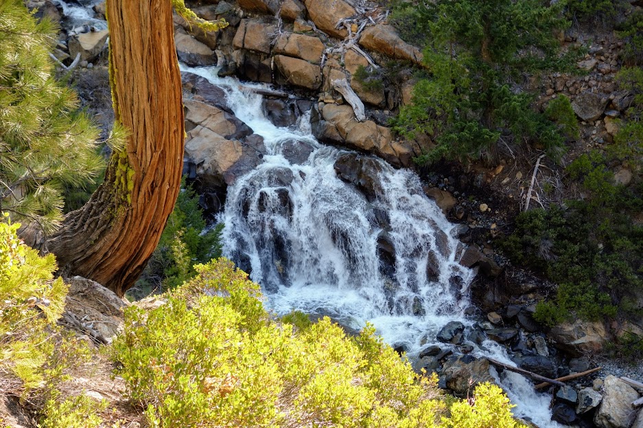
At the far end of the lake, you’ll find this waterfall created from Big Marshy Lake’s outlet.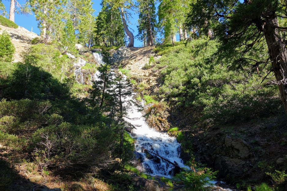
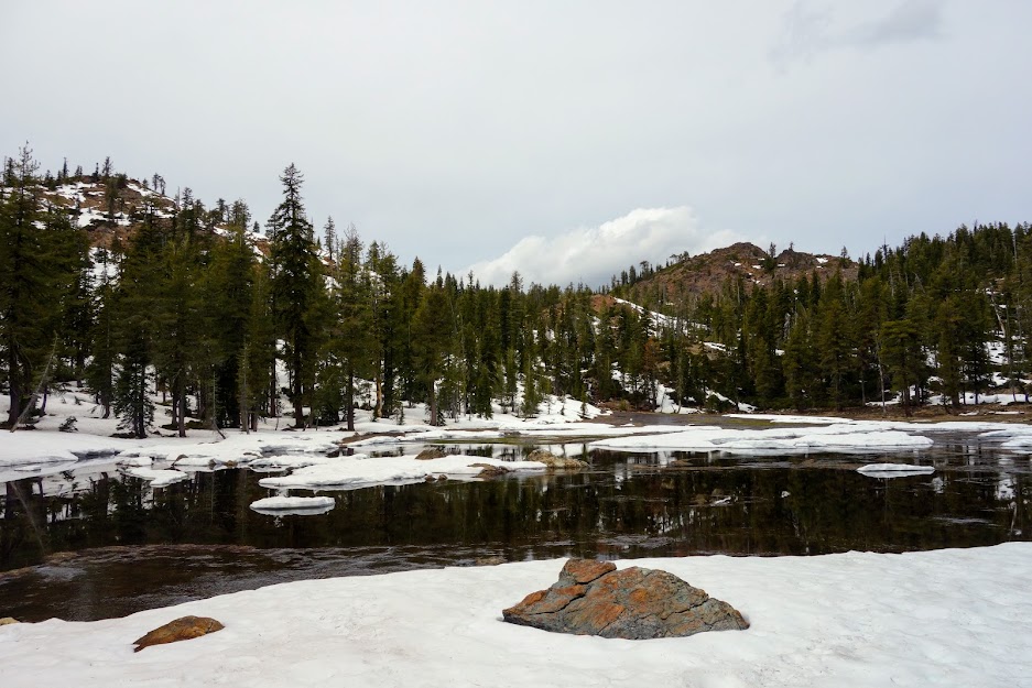
Big Marshy Lake.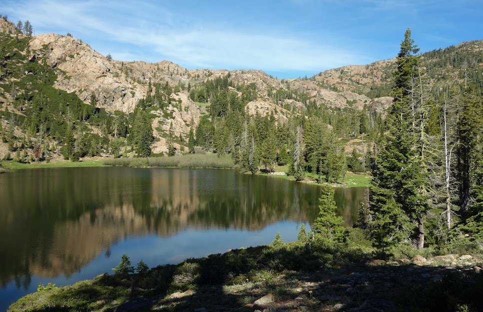
East Boulder Lakes
I recommend reversing direction slightly from Big Marshy Lake to reconnect with the old road and current use trail to the PCT. Attempting a short-cut ends up being a lot more wasted time and effort. You can see my track on the above map photo when I wandered to the left of the trail.
When I hiked the PCT in 2015, I wasn’t inclined to add miles so I was excited to see the East Boulder Lakes basin. I explored the ridges on both sides of the pass but wasn’t motivated to hike down into the basin itself.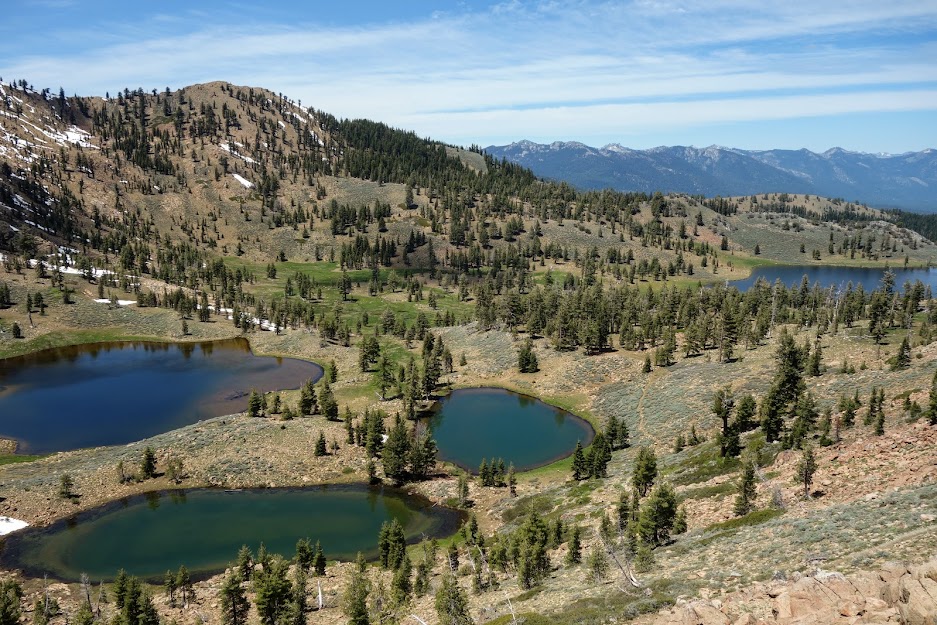
Pacific Crest Trail
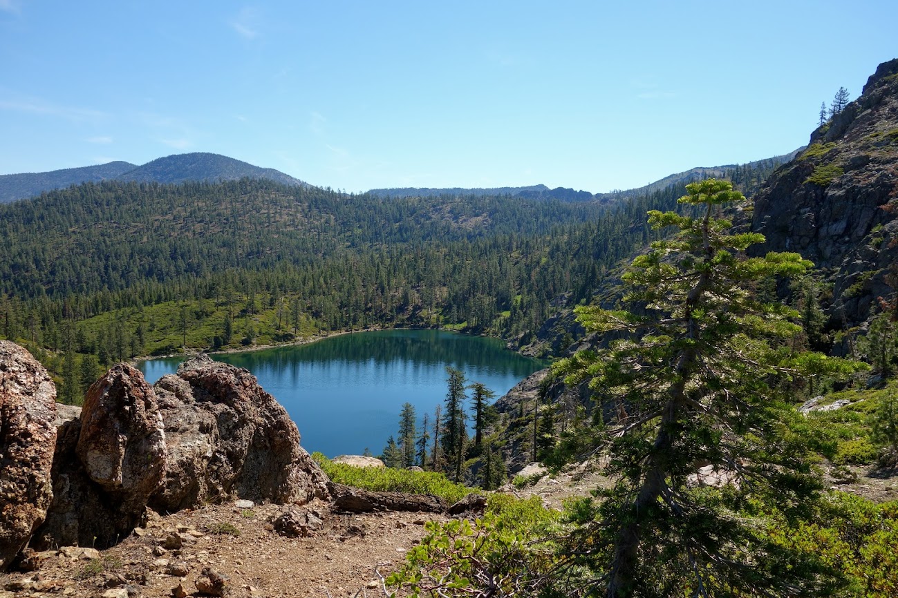
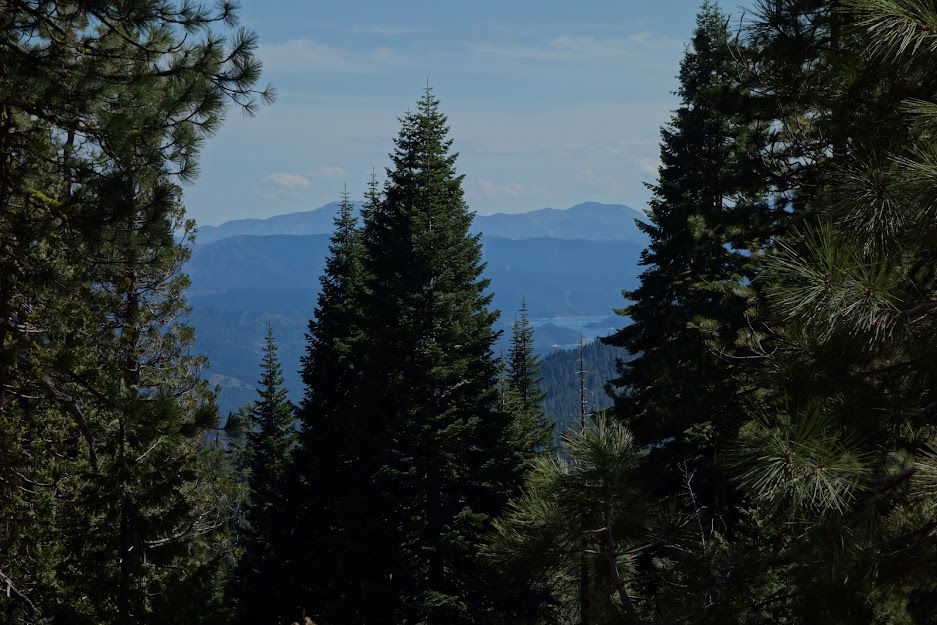
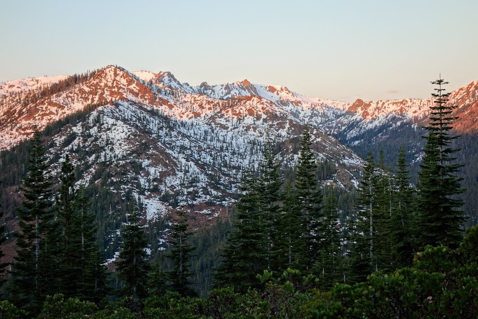
The PCT provided spectacular views down toward Big Marshy Lake and the mountains towering above Tangle Blue Lake.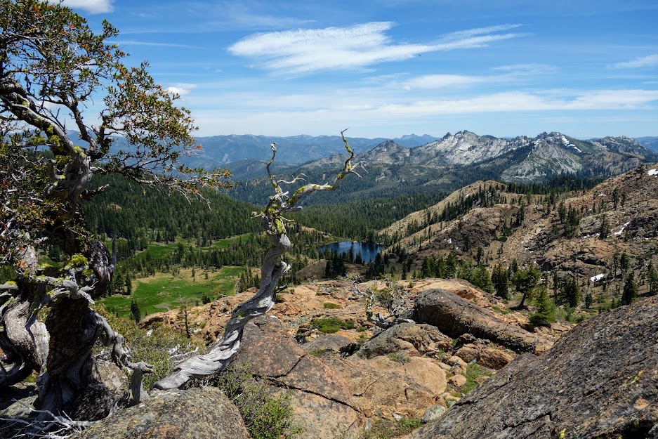
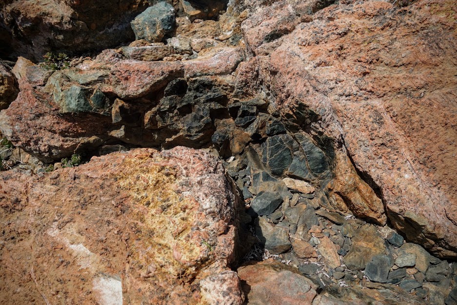
The close-up details of the rocks was worthy of closer inspection and pondering the geologic history.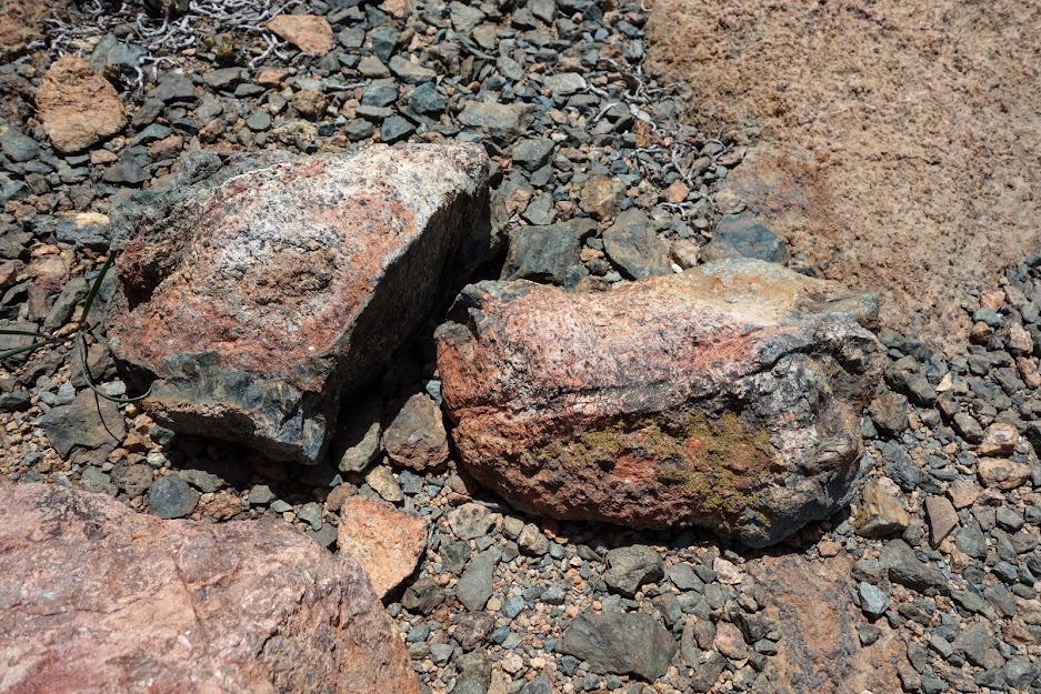
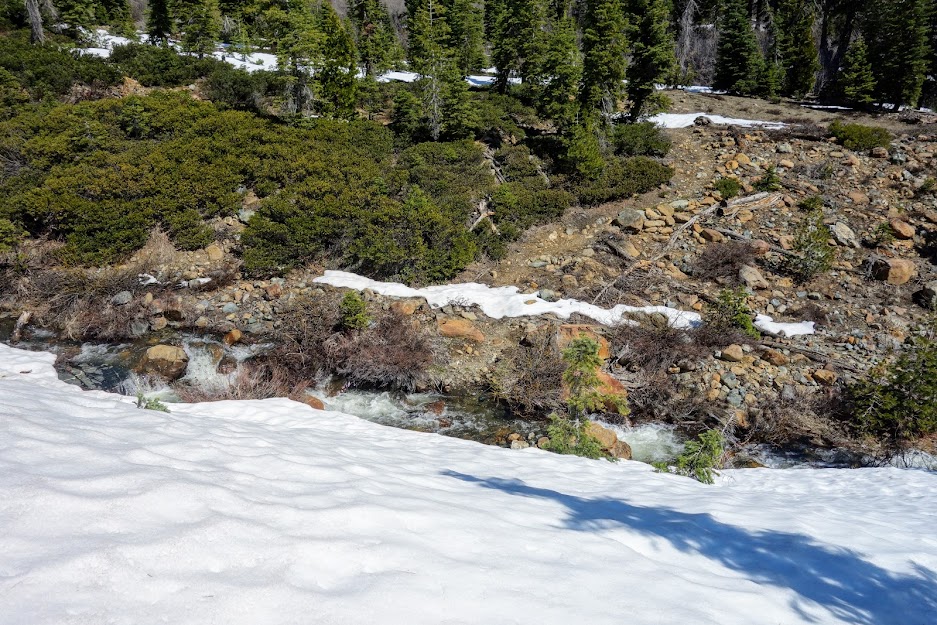
You can expect snow on the PCT in early spring. Some patches had serious consequences should you slip.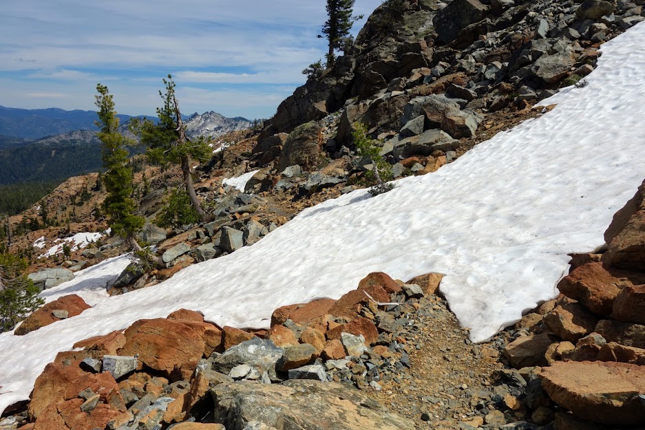
I spent a night along the PCT where I got to watch this bald eagle hunting for it’s dinner.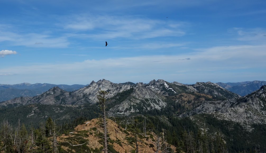
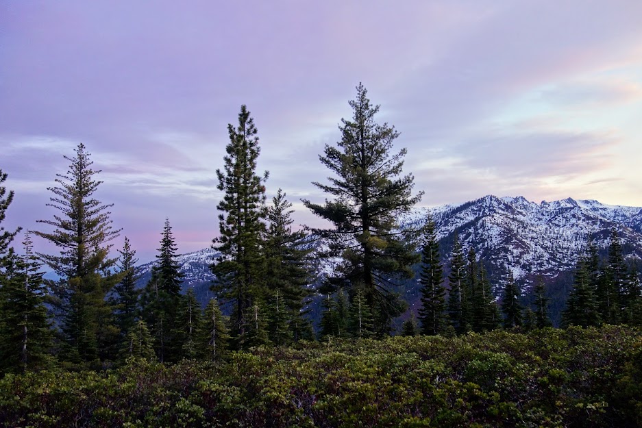
It was a perfect place to watch the nearly full moon rise while smiling at this sunset view.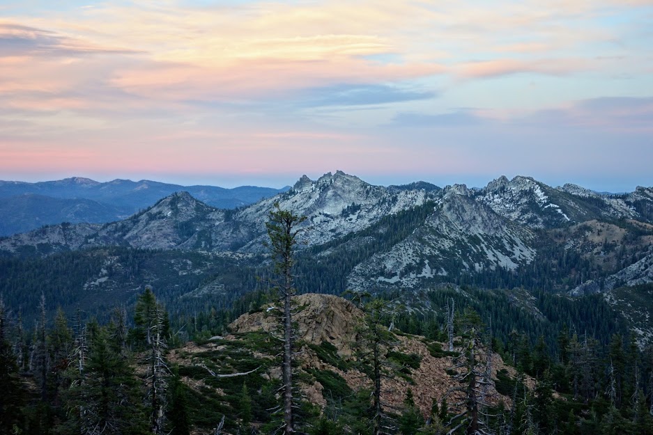
The next morning I enjoyed a brilliant sunrise with Mt Shasta hidden within.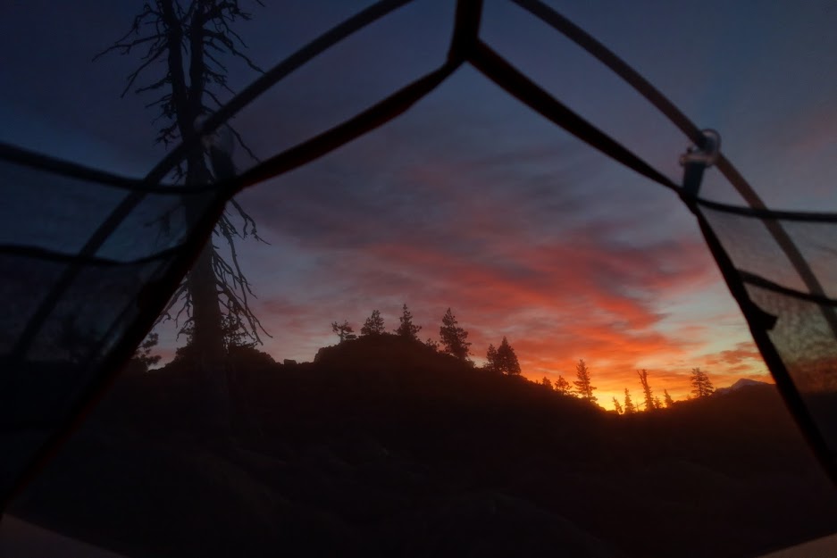
I continued hiking northwest on the PCT. My next POI was Middle Boulder Lakes basin. It was filled with a frog choir. I’d need earplugs to camp there. I considered hiking the loop that connects these lakes with Telephone Lake.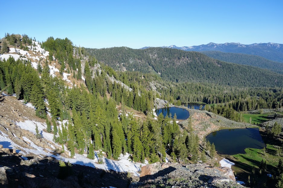
I caught a little cell signal for an updated weather forecast which told me no lollygagging.
I found a great view of the northern side of Caribou Mountain and other major peaks of the Trinity Alps.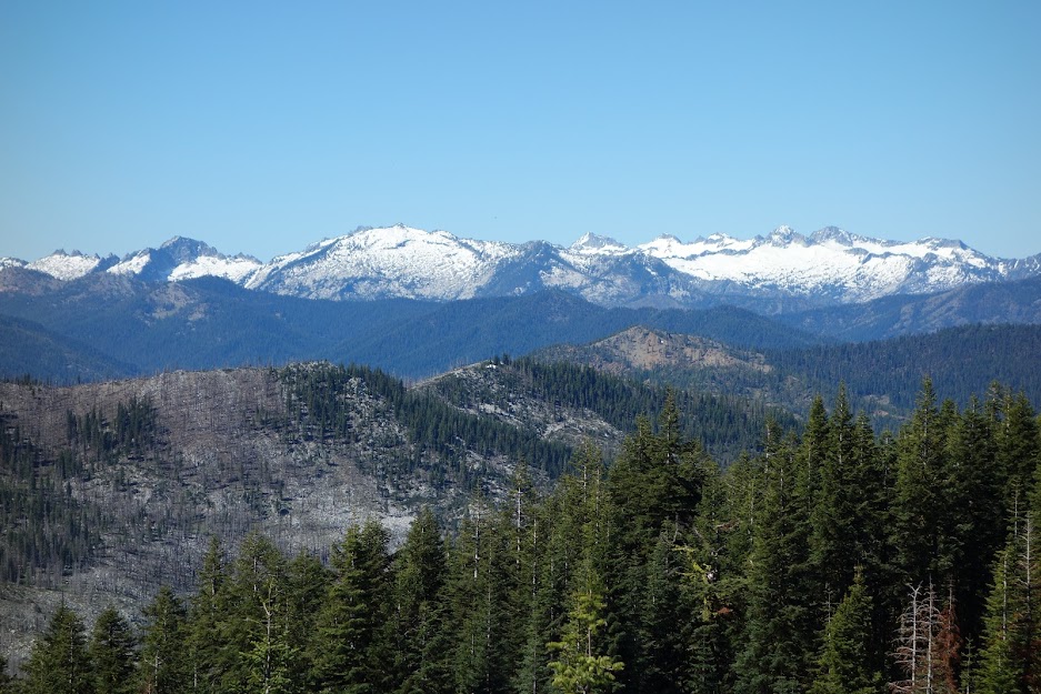
I tried to find a view down to West Boulder Lake but without a trail and steep cluttered hillsides, I wasn’t too motivated to play hide and seek. However, there’s a trail junction on the PCT for another lakes basin which includes Mavis, Fox Creek, Virginia and Section Line Lakes. 
The lakes aren’t visible from the junction but if you hike up a bit and explore the ridge, you can find this view of Mavis Lake. 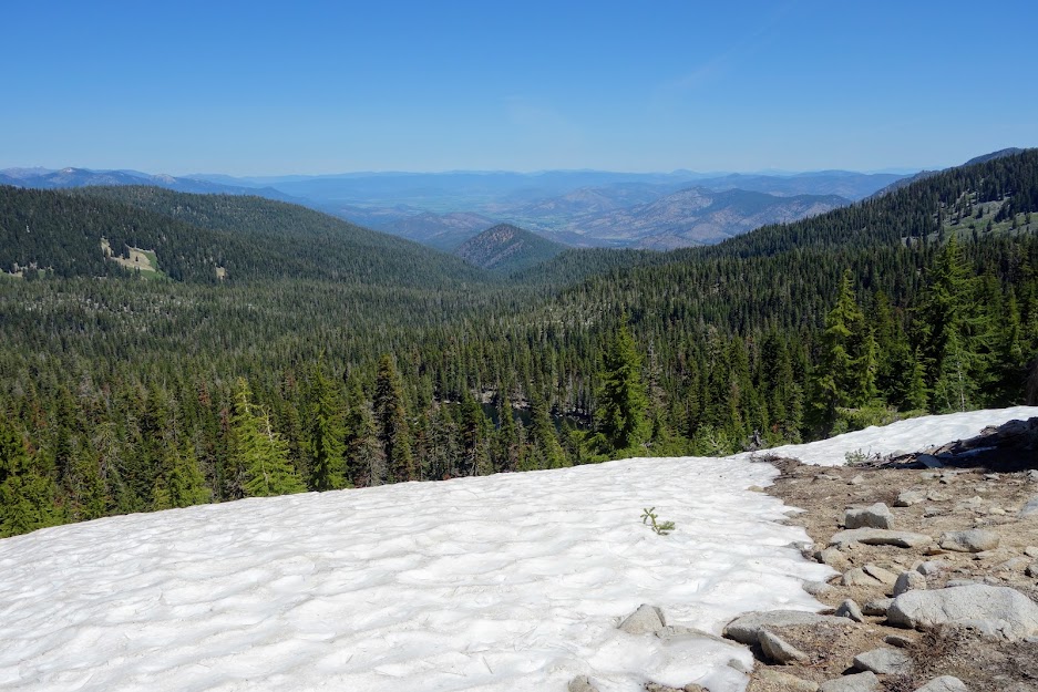
I was able to see Virginia Lake with my naked eye, but it was hard to capture with my camera. It’s tucked just below the granite side of the mountain. I met a group who were staying at Fox Lake. They said it was a great base camp from which they’d spen one day hiking to all the lakes in the basin and the next up to the PCT and down a side trail to Wolford Cabin. So many options for loops and trip extensions. Be warned though, trail conditions are a big unknown especially given recent fires.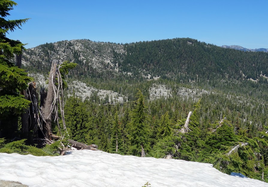
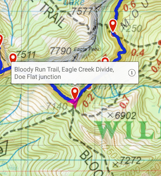
Bloody Run Trail / Eagle Creek Divide / Eagle Creek Trail / Tangle Blue Trail
I reversed direction back to this trail junction. I had no idea if I’d find remnants of trail or if it would be a big mess or . . . it was a big mystery but one I was willing to at least take a stab at ground truthing. I was happy to at least see this sign on the PCT (it reads Bloody Run Trail and Eagle Creek Divide). As you may recall I found the sign for the Eagle Creek junction when I was on my way to the Marshy Lakes.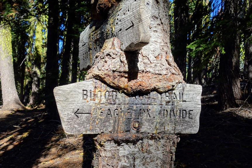
Step 1, go the 1/4 mile to the divide. Take a look around and see if I could find a trail that matched my digital map. 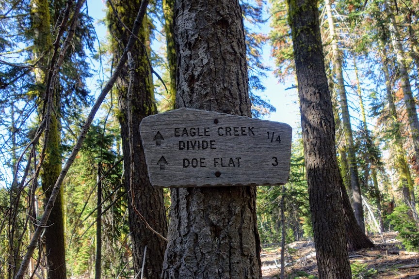
I found the divide without incident on a fairly well used trail to a campsite. From there I wasn’t able to find the trail that connects to Wolford Cabin but found the light use trail continuing down Bloody Run to this junction. By this time I was beyond hopeful as I’d dropped quite a bit of elevation and was not looking forward to reversing direction. 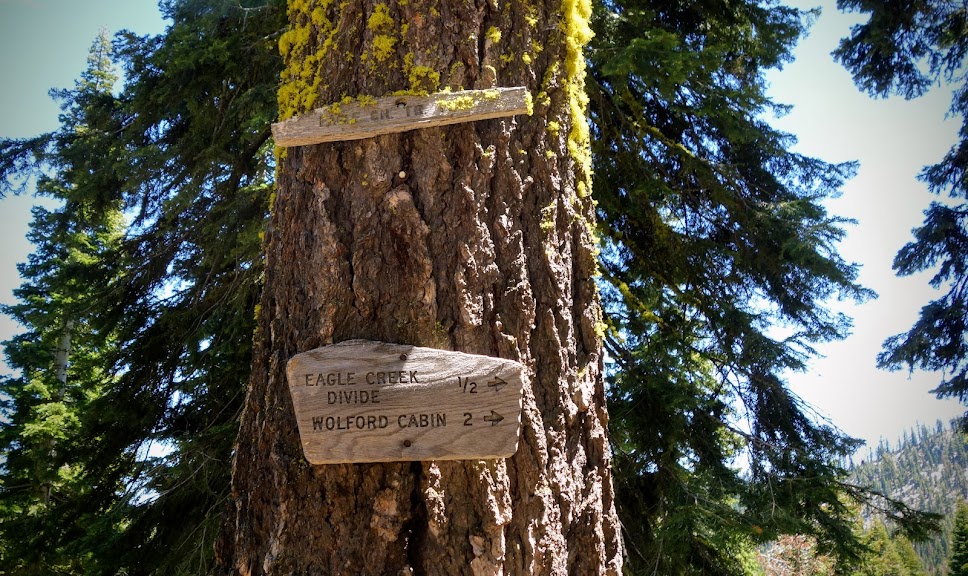
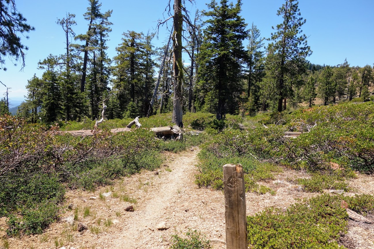
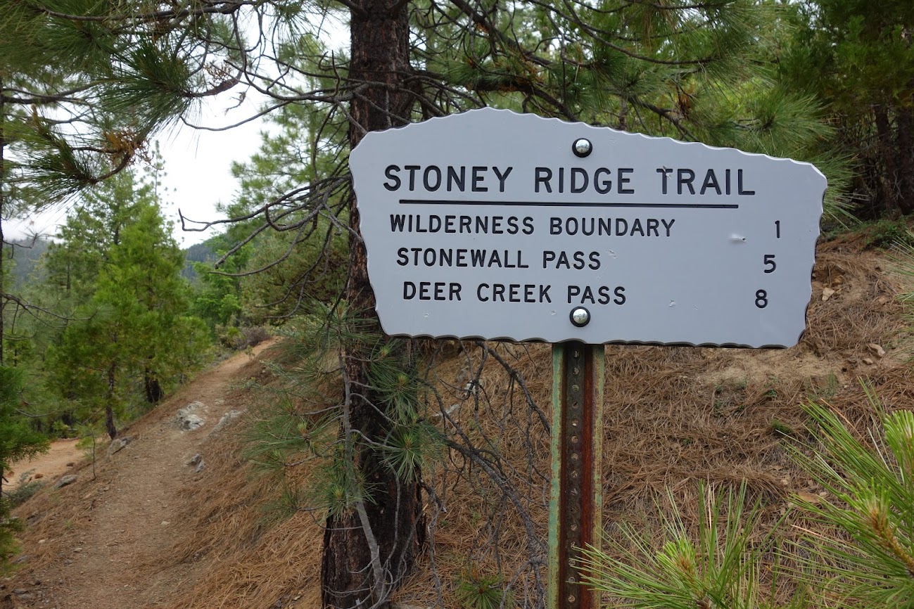
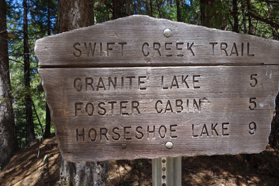
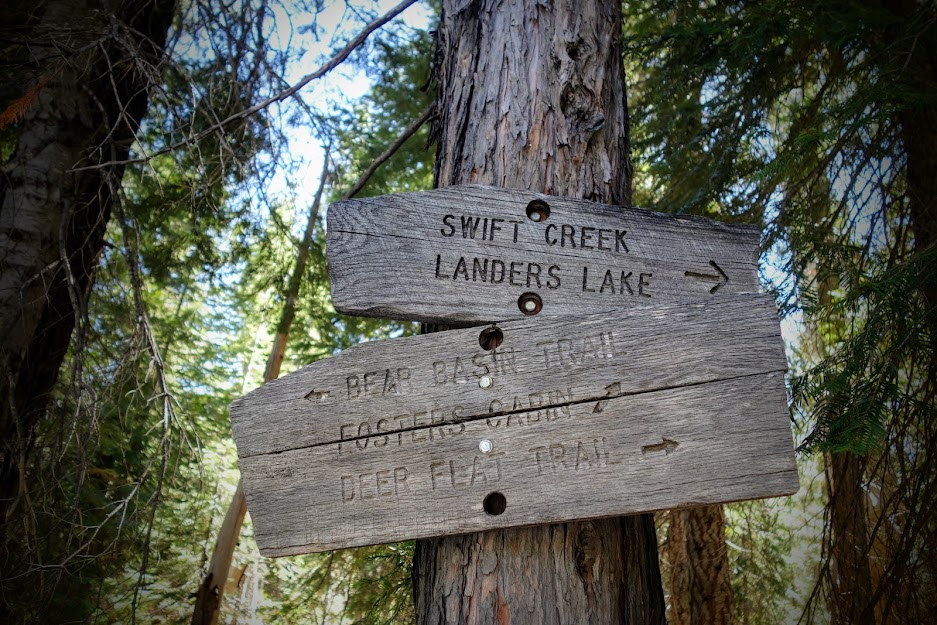
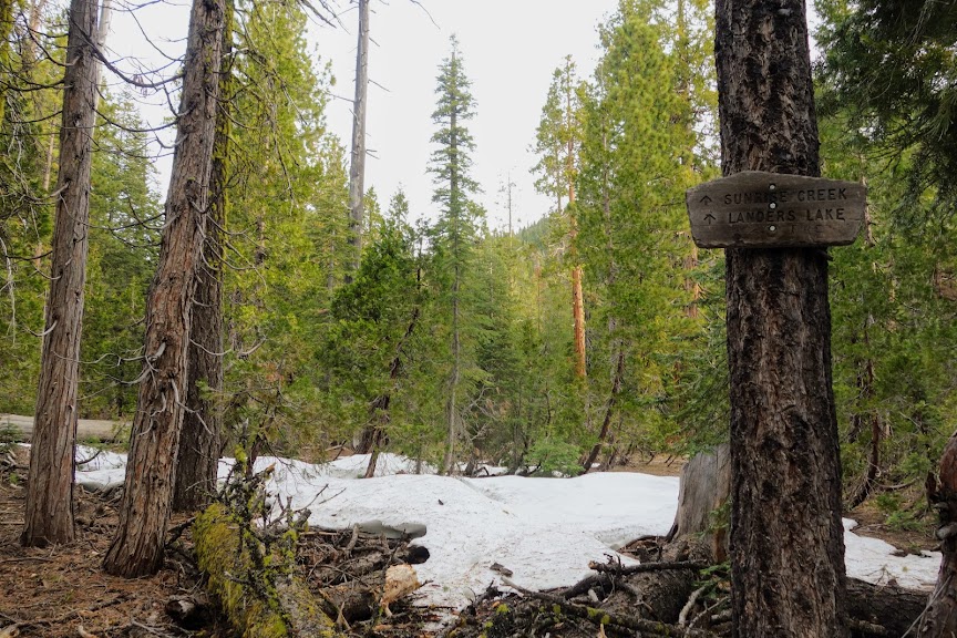
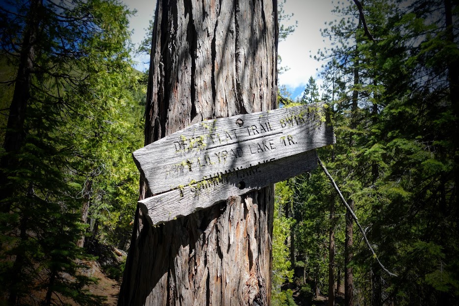
I was thrilled to find this sign at the junction of Eagle Creek Trail and Tangle Blue Trail. 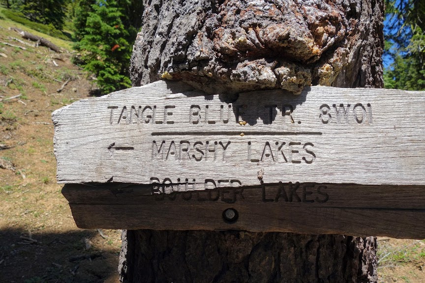
According to the map you can connect to/from the PCT to the Tangle Blue Trail. I didn’t find any evidence on the PCT but I found this sign along the Tangle Blue Trail and it looked like a fairly straight shot through an open meadow but I didn’t check it out so it remains a mystery. 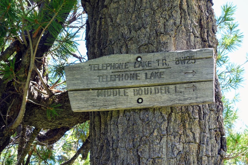
I found a few old trail blazes on trees. I wouldn’t attempt this trail without excellent off-trail navigation skills. When you temporarily lose the trail, backtrack and watch the digital map as the old trail stays fairly true to what’s shown on the maps. 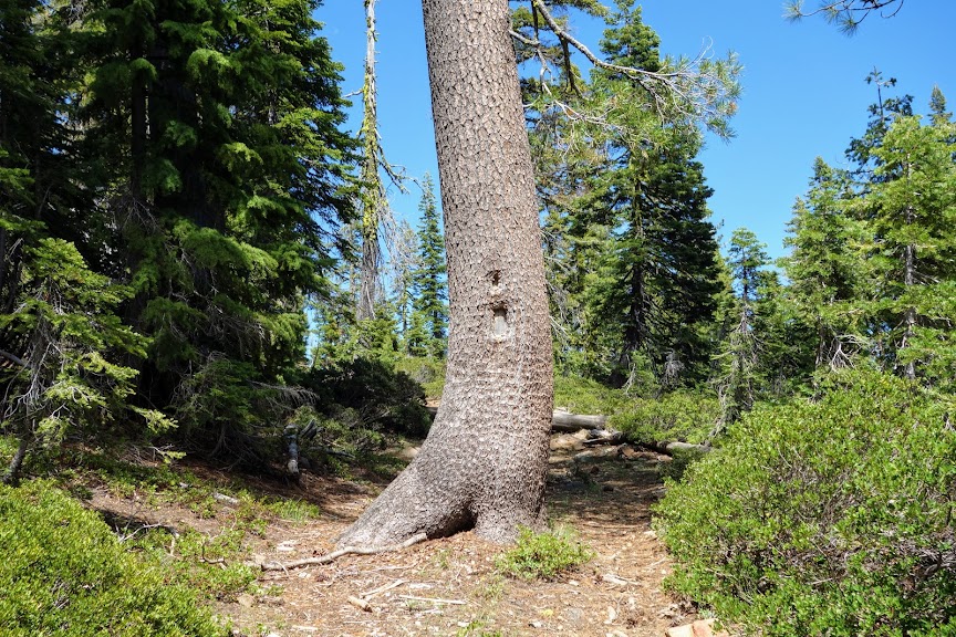
Cairns were well placed in many spots, and very helpful with the navigation game.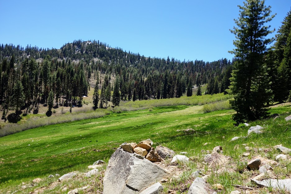
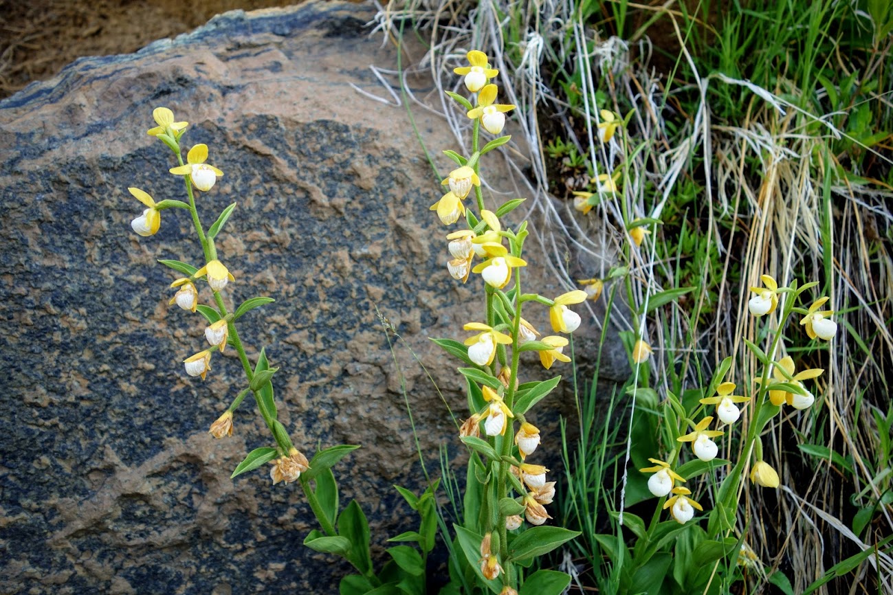
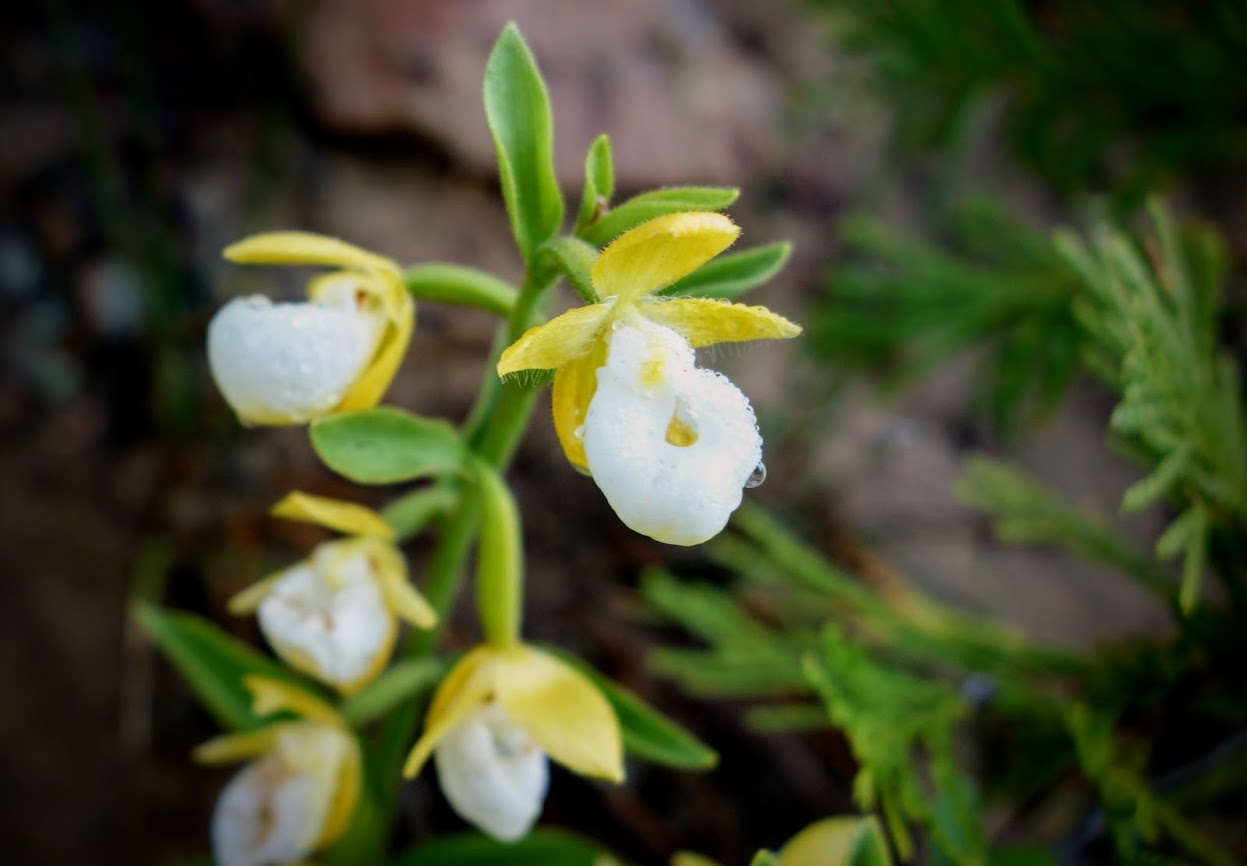
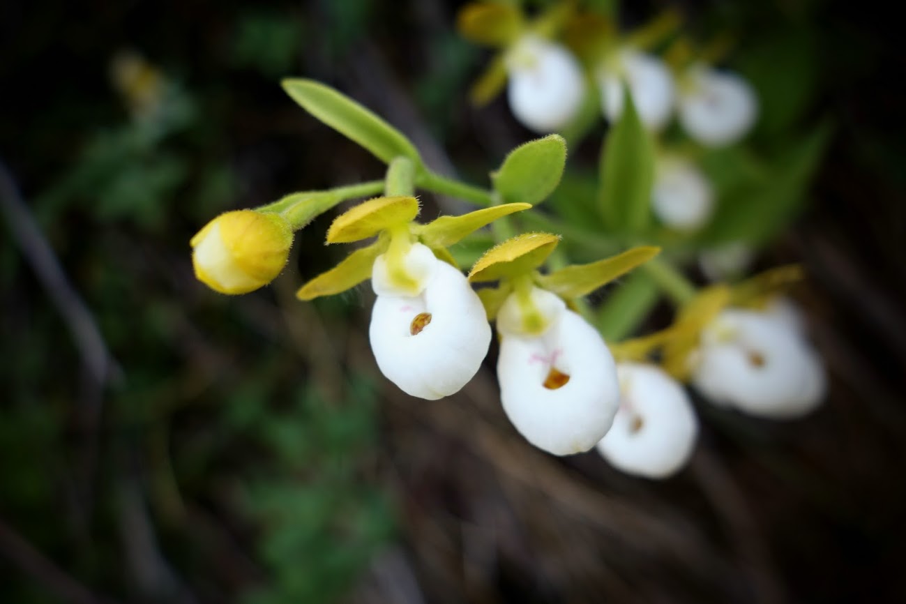
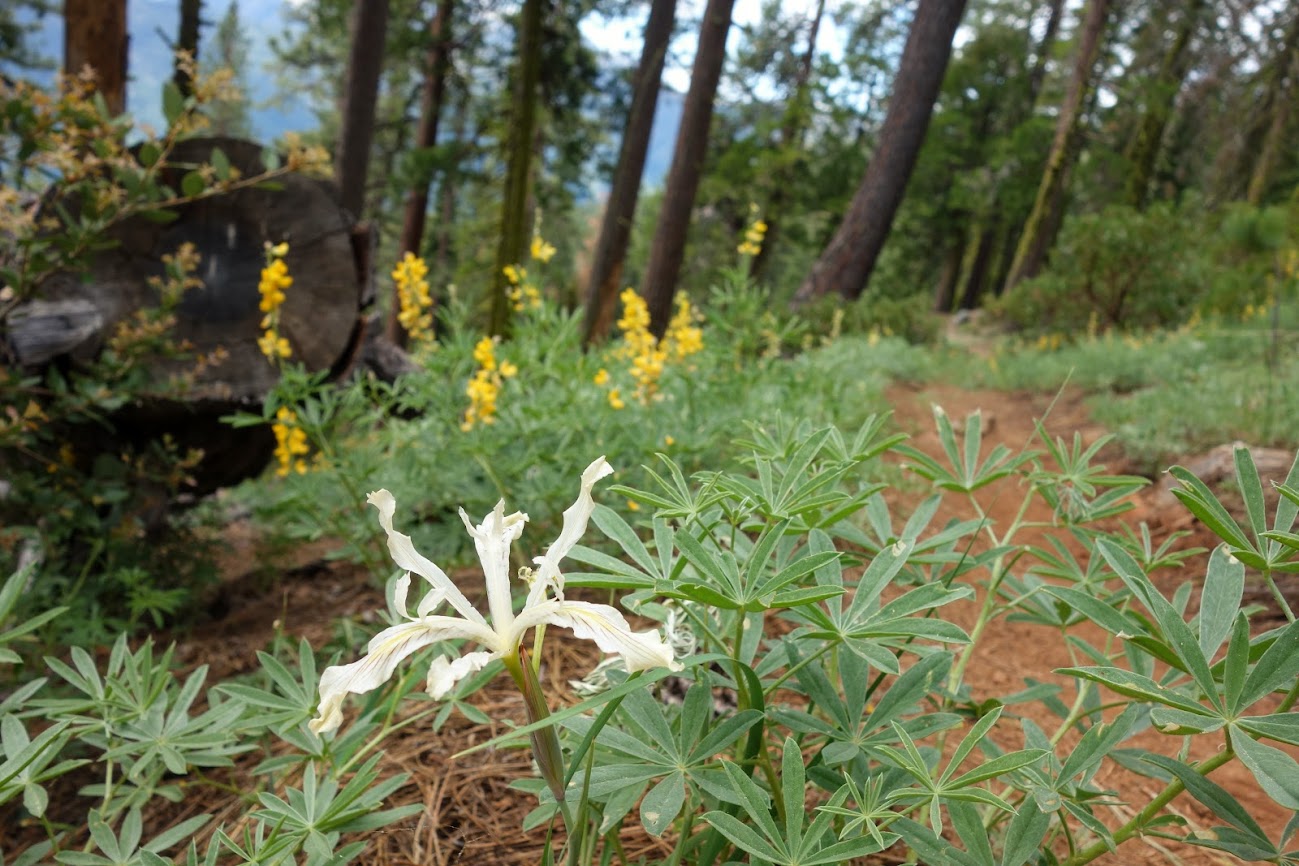
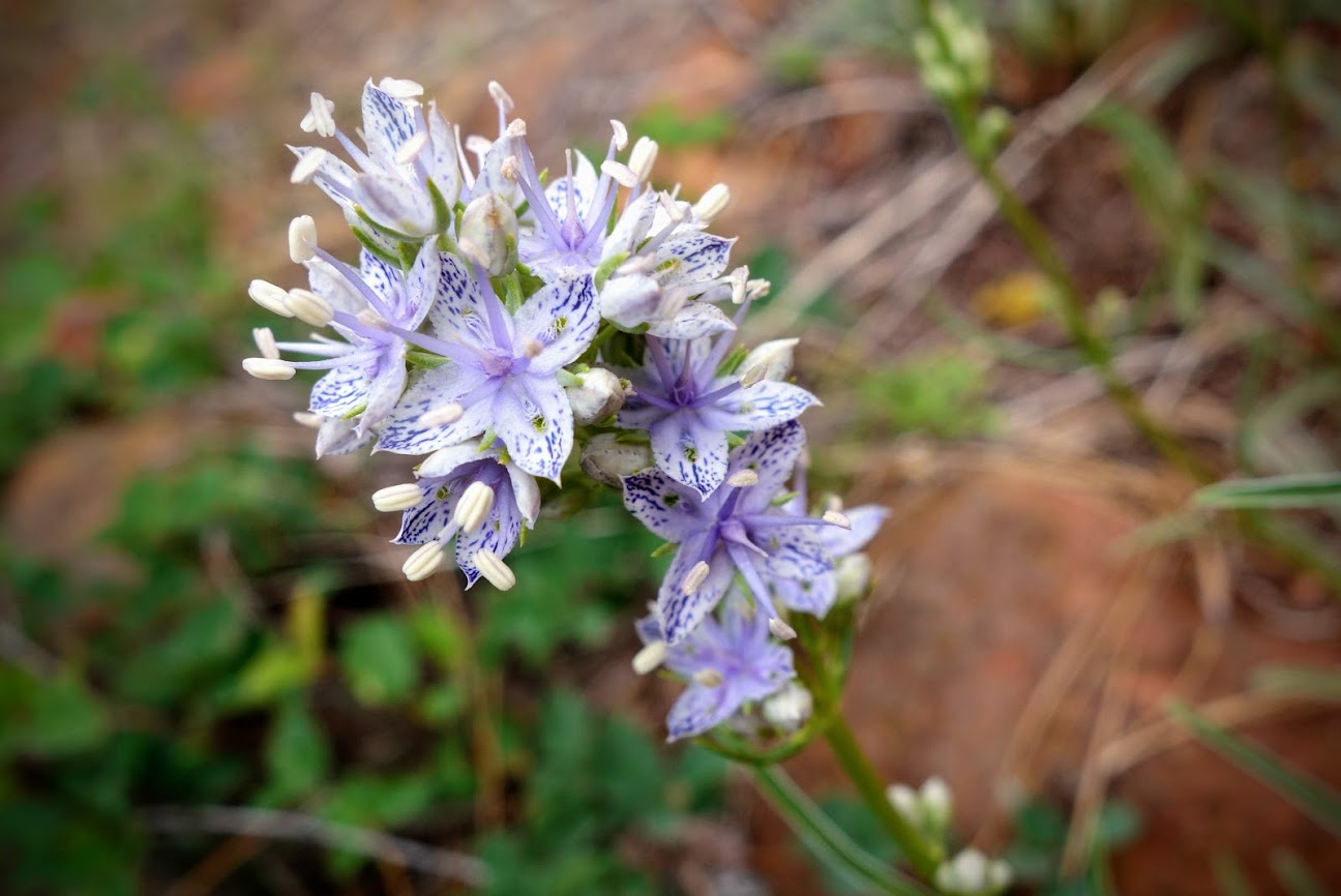
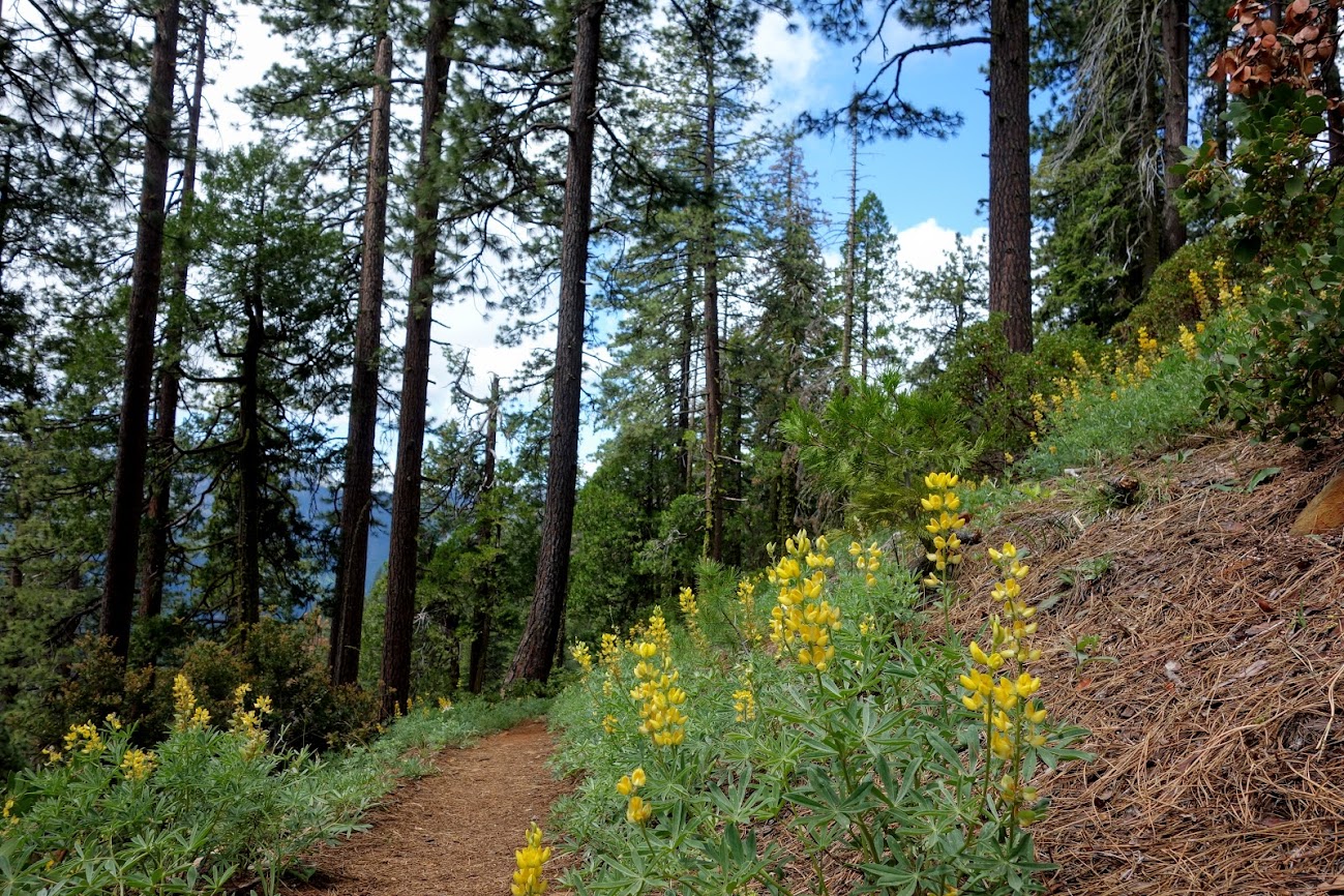
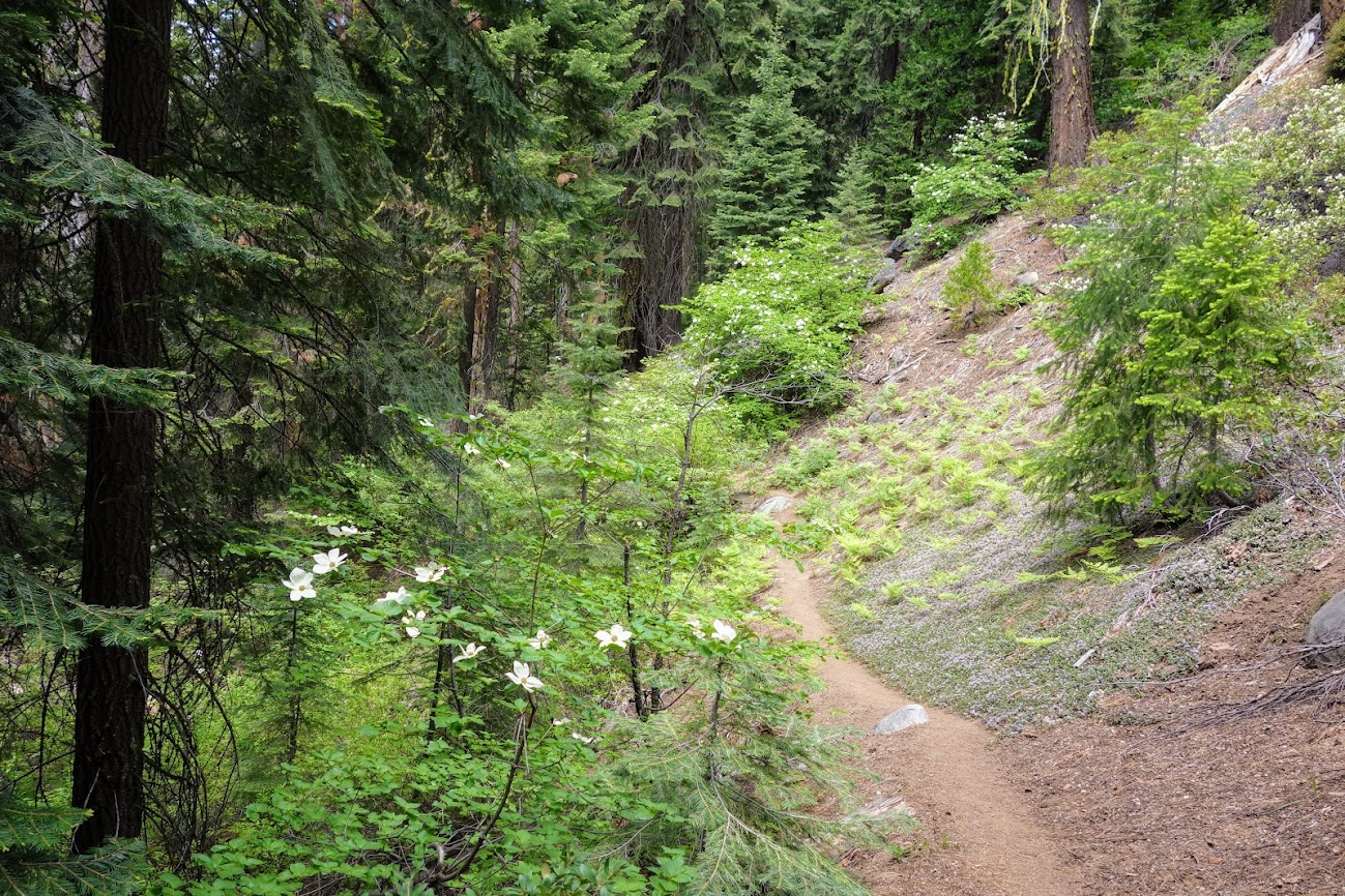
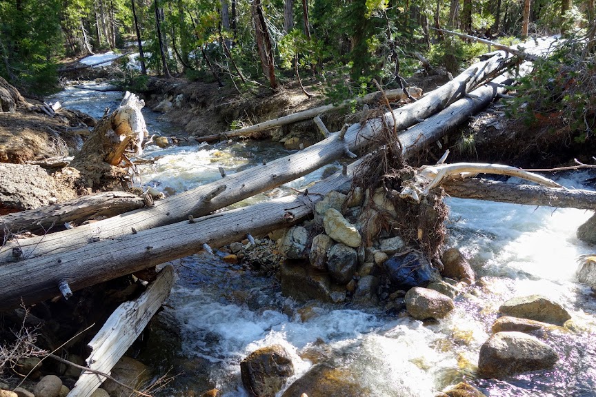
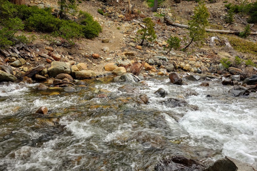
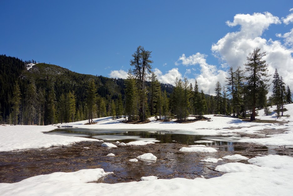
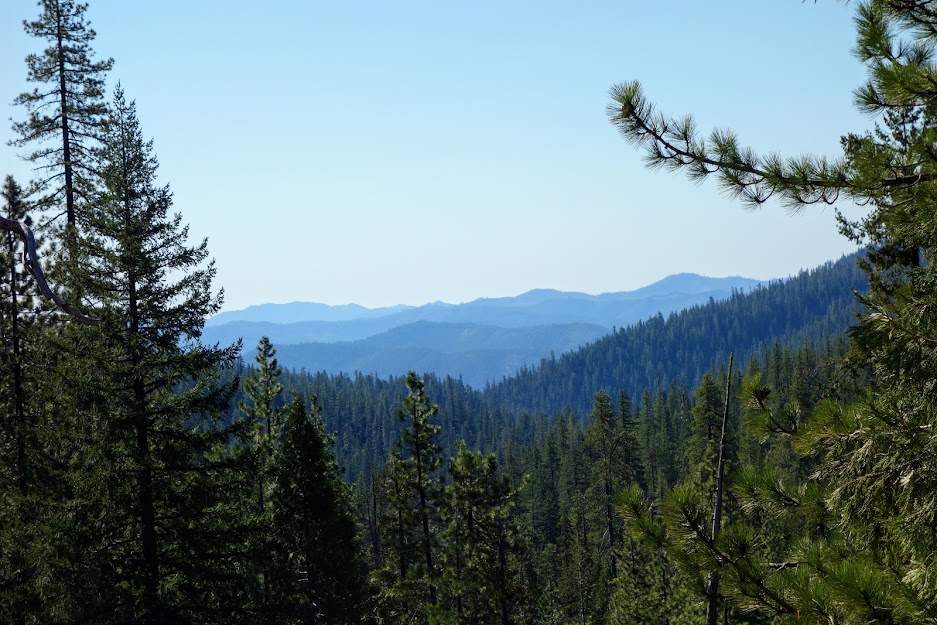
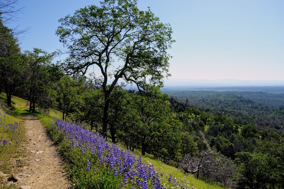
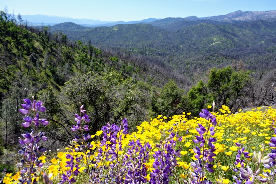
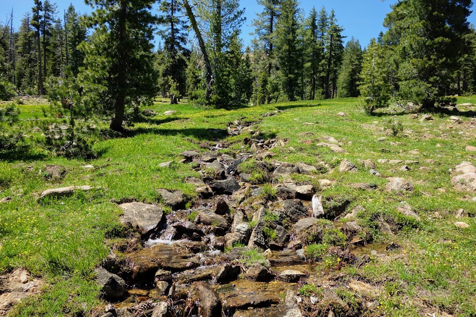
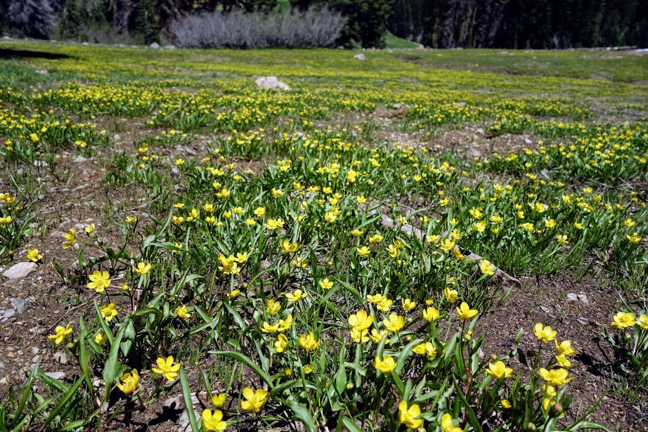
It was a beautiful area filled with meadows, flowers, streams and views. 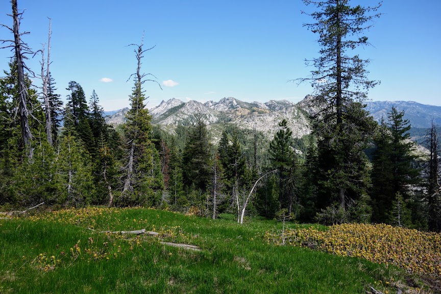
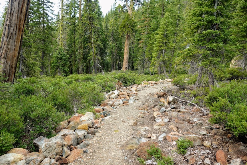
The lower section is more in the forest and bit messier than the upper section. Had I been paying better attention and not gotten off track a one point where I found myself in a manzanita quagmire, I would have been 100% thrilled I’d taken this alternate. Buy hey, I came, I explored, I survived. 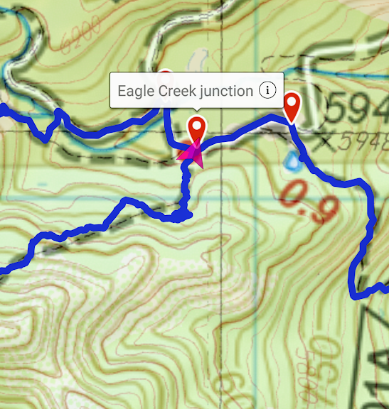
I was especially excited to find this sign on my way back to the main trail. Yes, the Tangle Blue Trail exists! 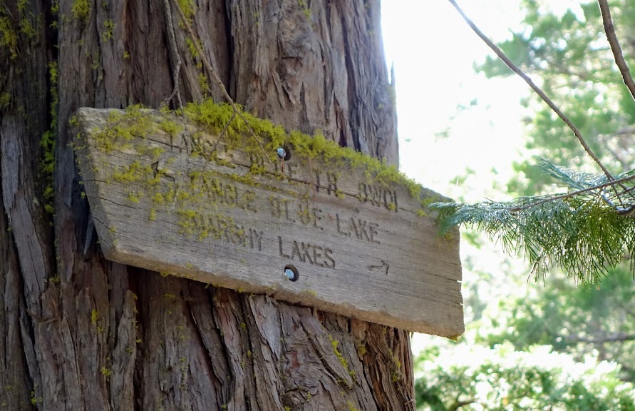
After that wild day, I found a cozy spot to call it a night. If I hadn’t gotten off track, I probably would have camped along the Tangle Blue Trail where I would have had more open views. But that too is all part of the adventure and something that will keep this trip memorable. 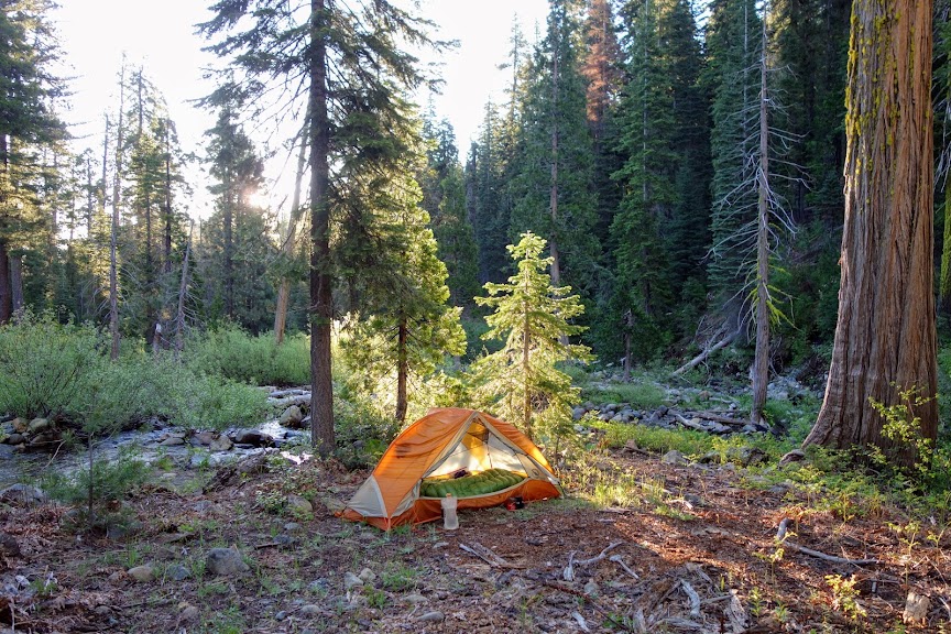
Grand National Mine
On a previous trip I took the side trail to explore the mine. I didn’t find a sign this trip, but it’s pretty easy to spot the old road. You can see the red roof of the old stamp mill in the lower left corner of this photo I captured as I was coming down the Tangle Blue Trail from the Marshy Lakes/Eagle Creek junction. You can see the old road above the mill. Someday I want to come back and continue further up the road to the ridge. I’m sure it would offer excellent views.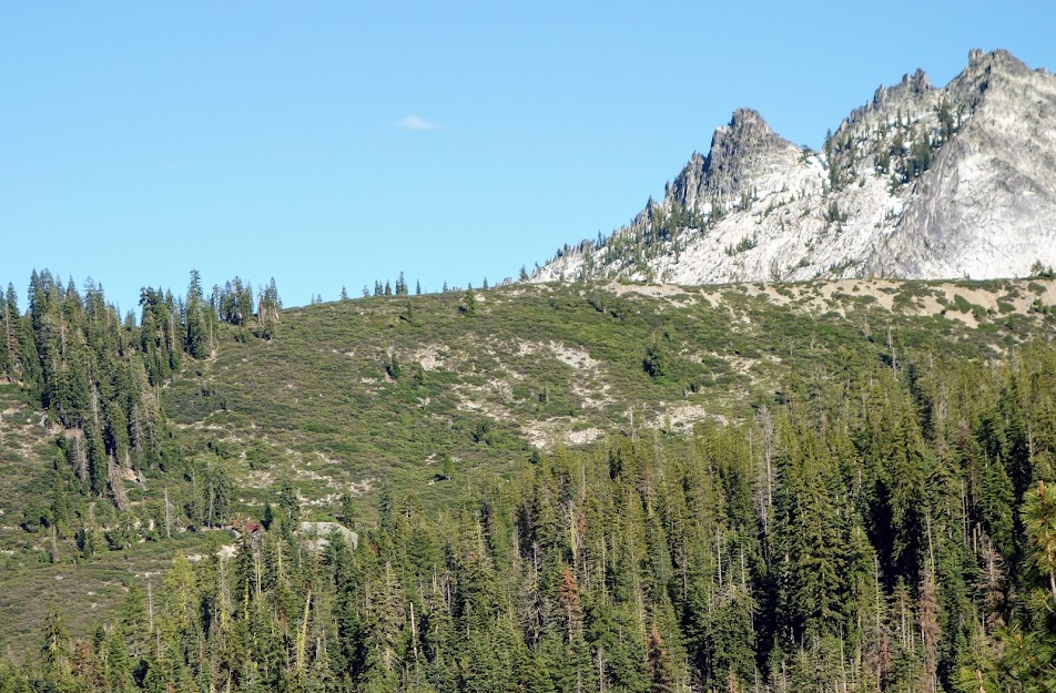
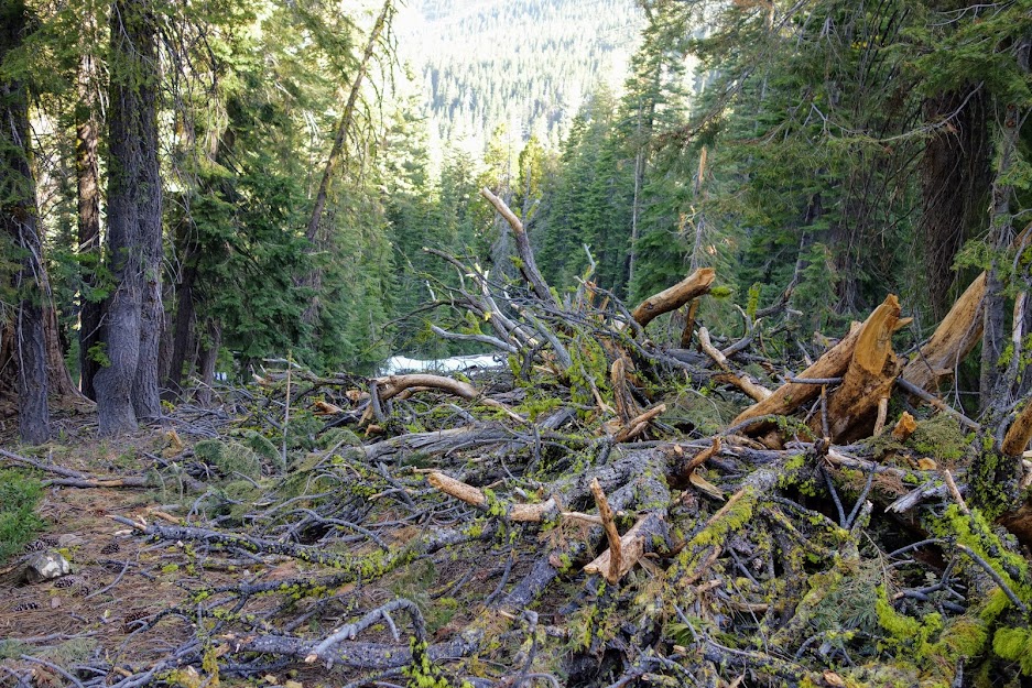
As of my 2013 visit there was lots of debris left behind. According to the Trinity Lake Revitalization Alliance, “The Grand National Mine produced about 1,500 ounces of gold, 2,200 ounces of silver, and 1,900 pounds of copper between 1934 and 1937. A few ounces of gold and silver were produced in 1930 and 1931. Nearly 54 percent of the gold was from quartz veins, which assayed at an average value of $23 per ton. The owner estimated that some 22,600 tons of material was in the three veins of the main mine diggings as of the late 1960s. At some $20 per ton, that was a value worth pursuing. Of course, now that the mine is wholly within the Trinity Alps Wilderness, it has been retired for all practical purposes.”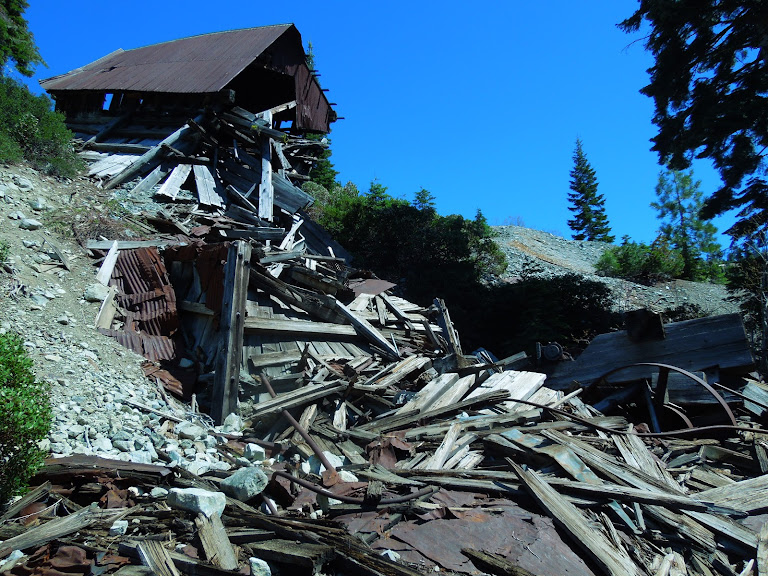
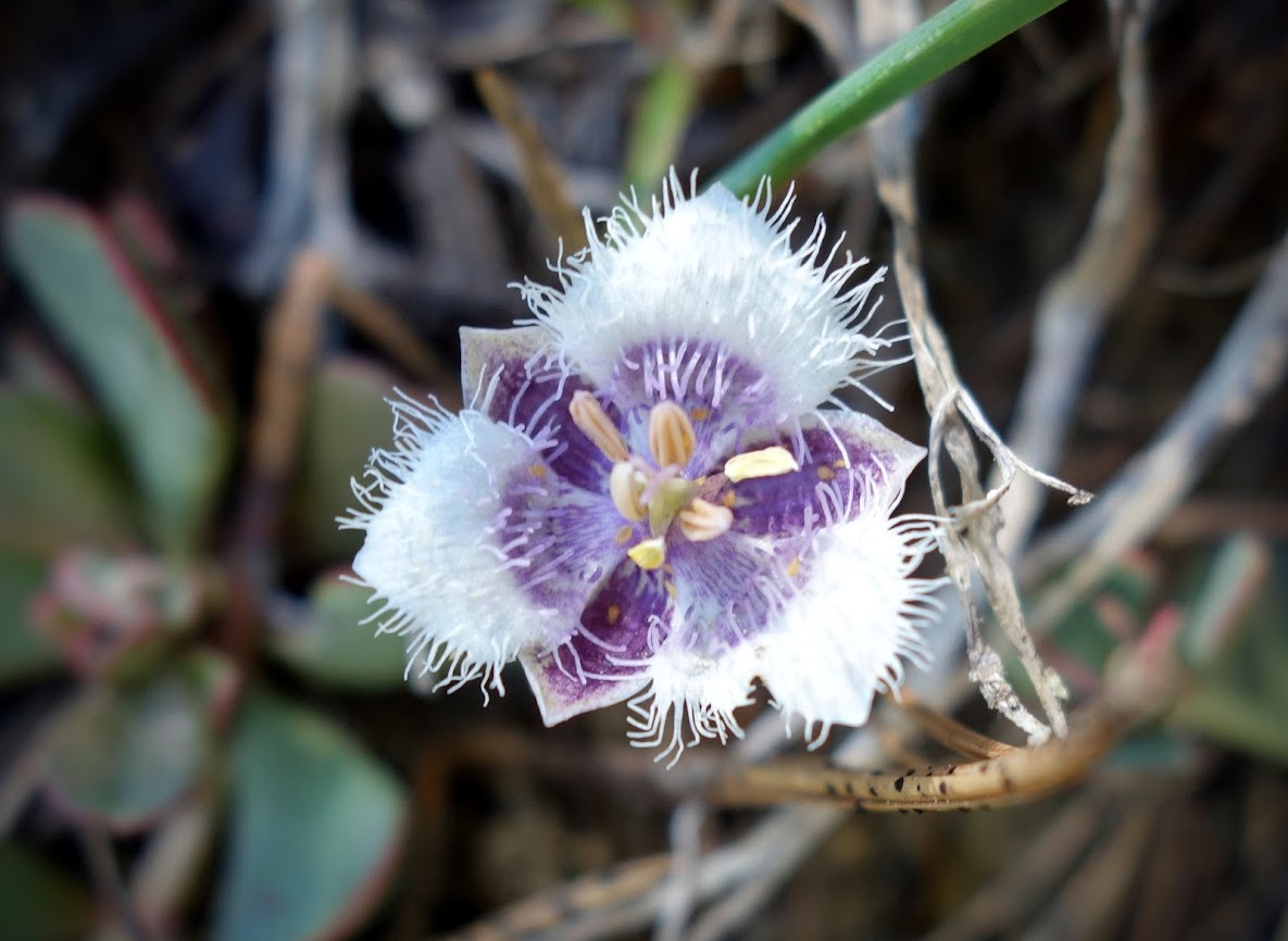
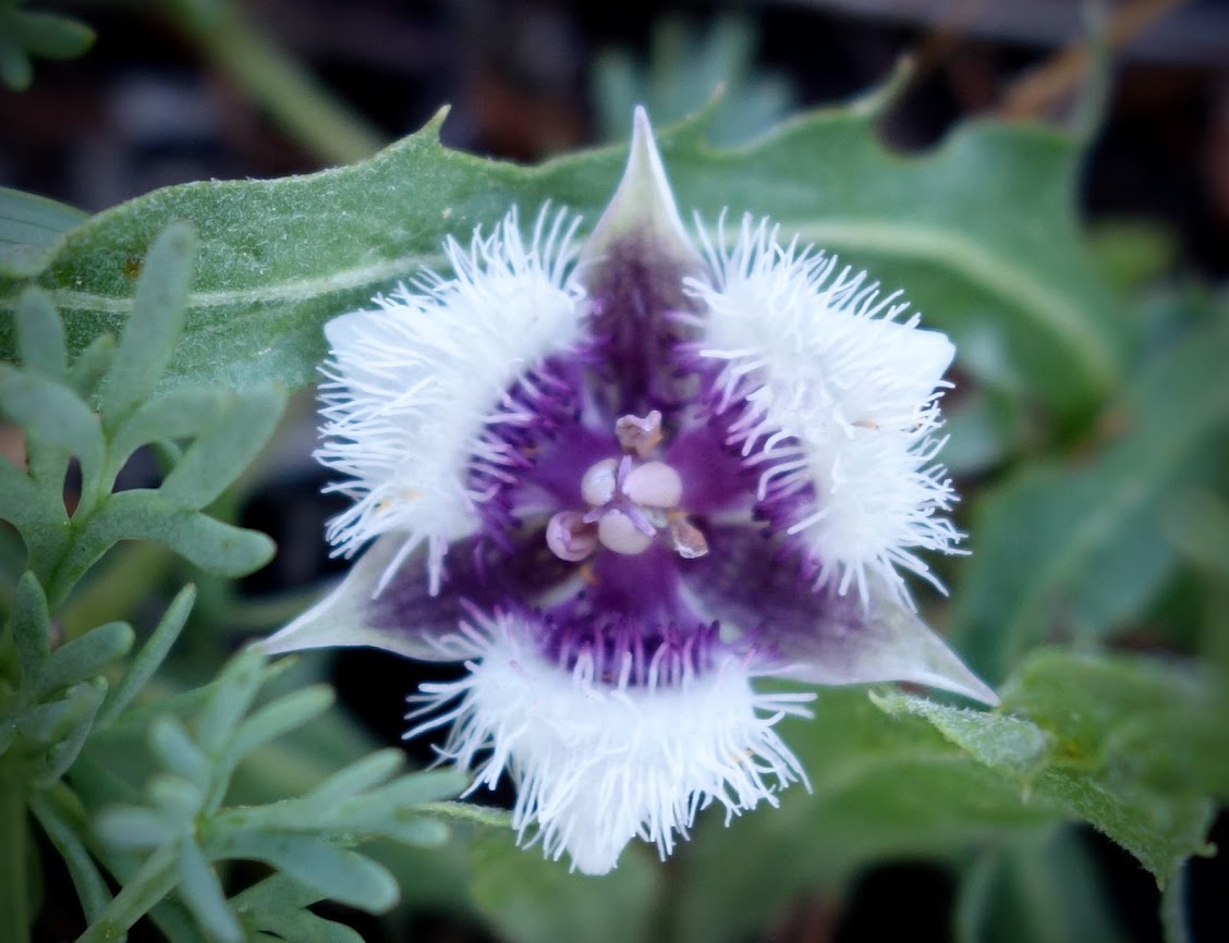
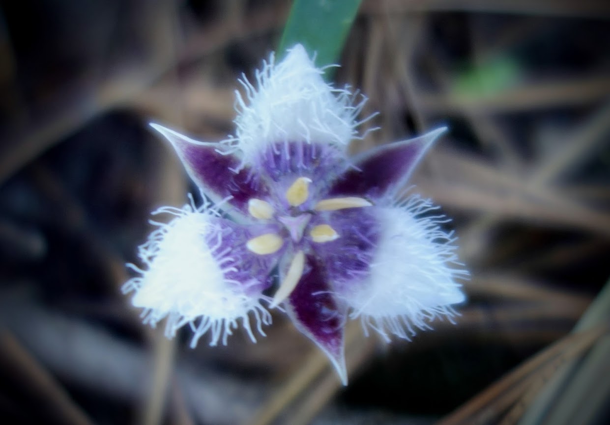
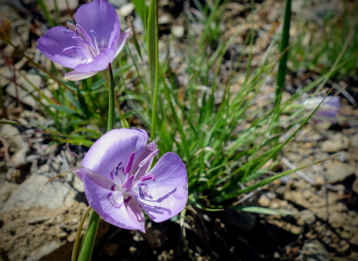
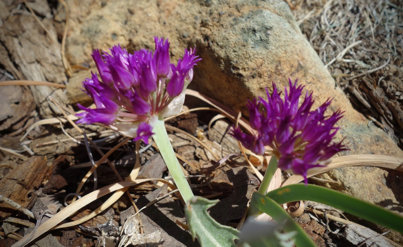
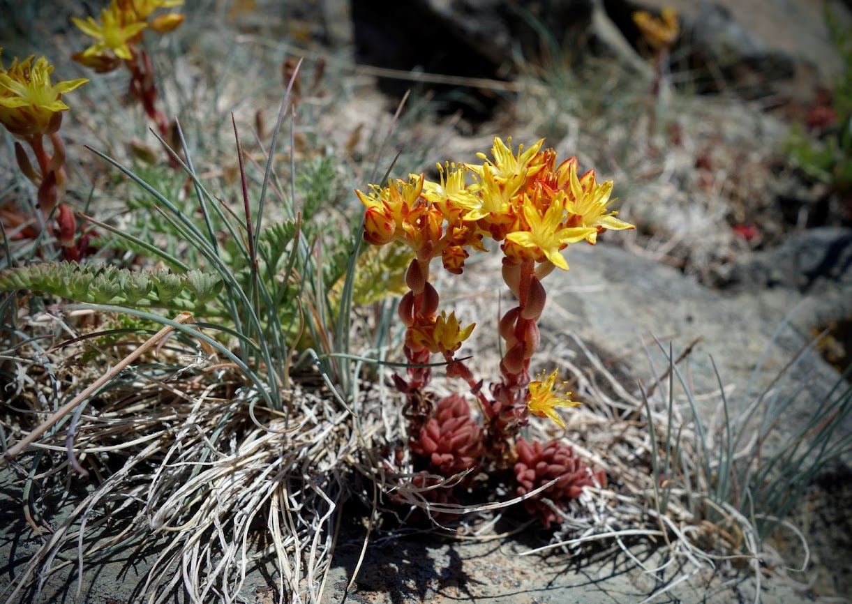
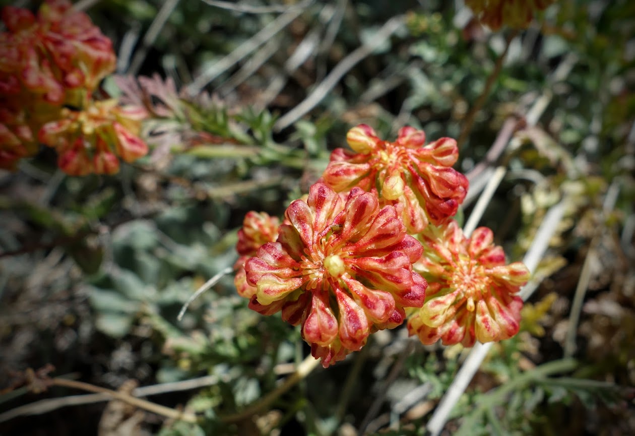
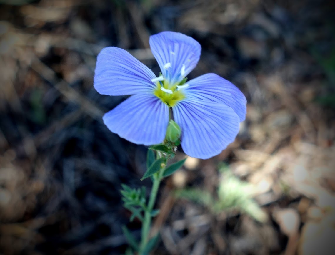
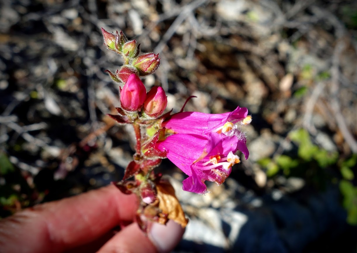
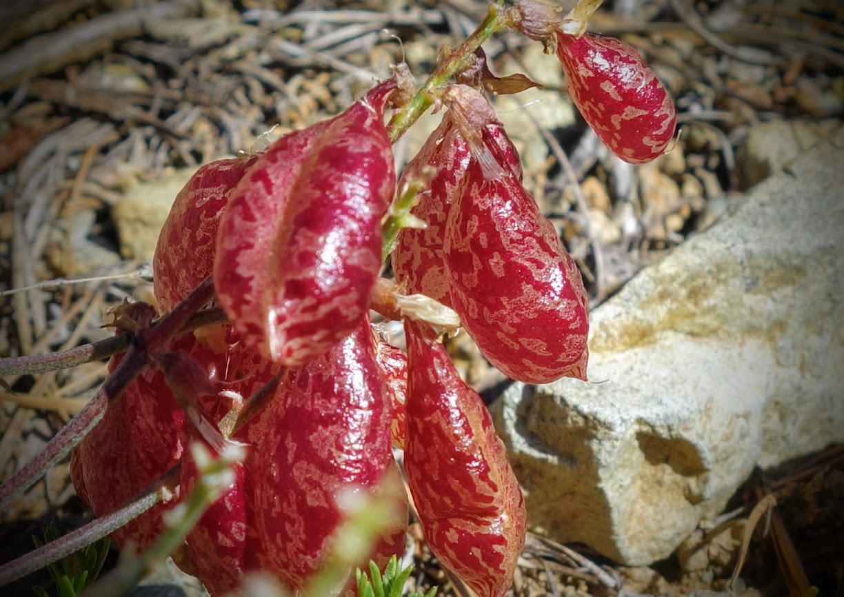
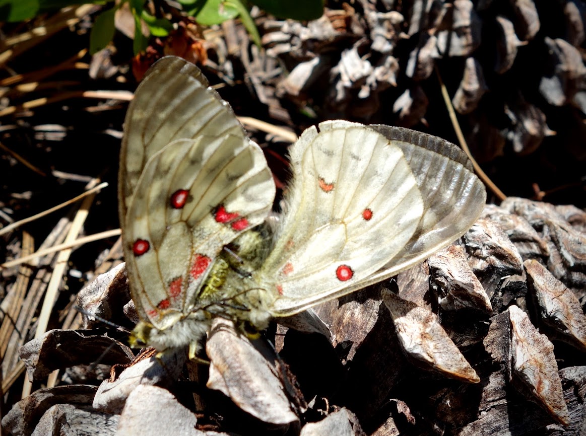
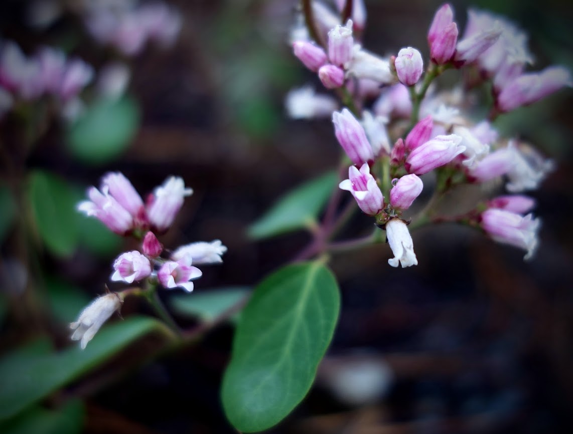
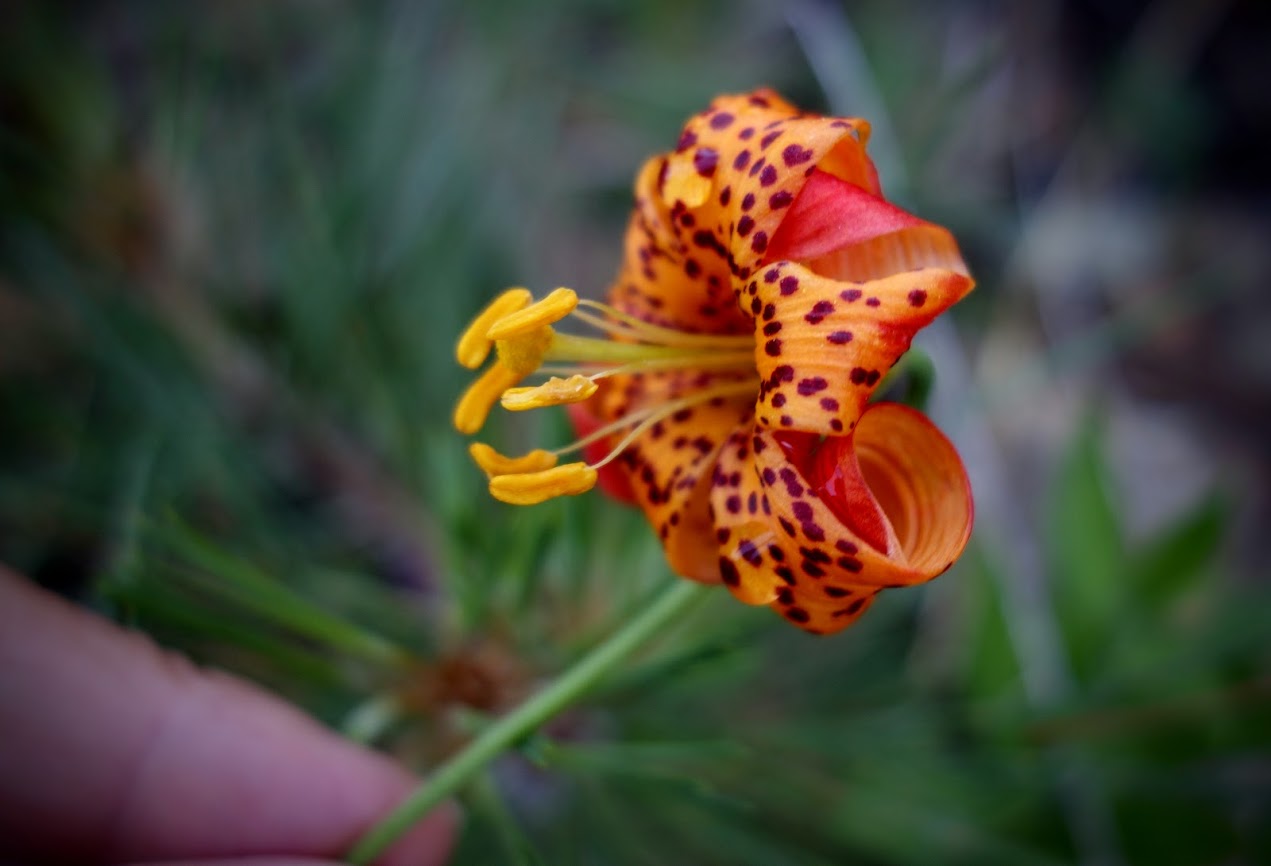
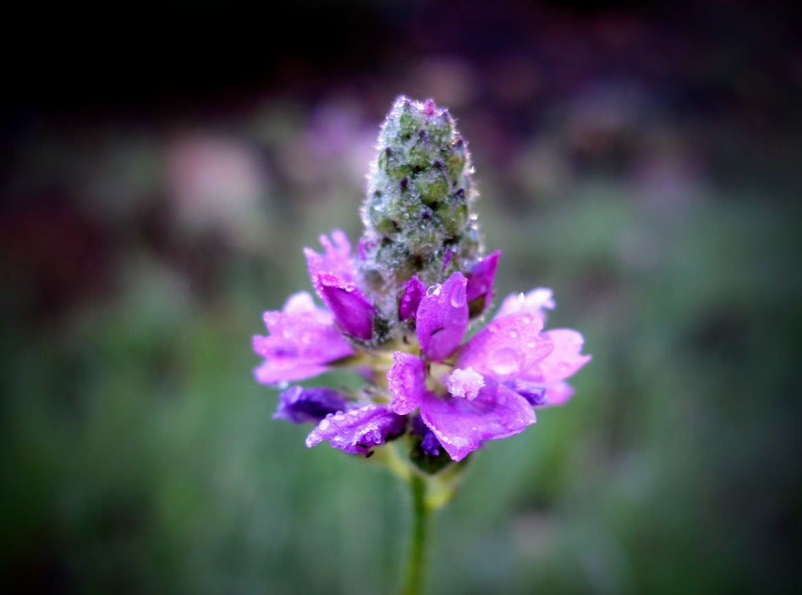
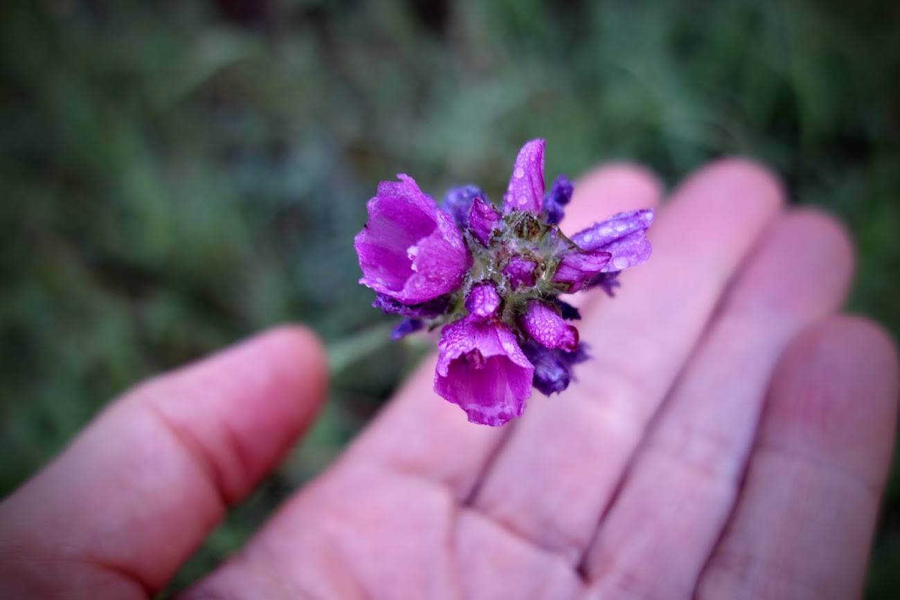
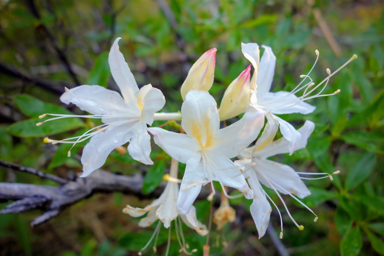
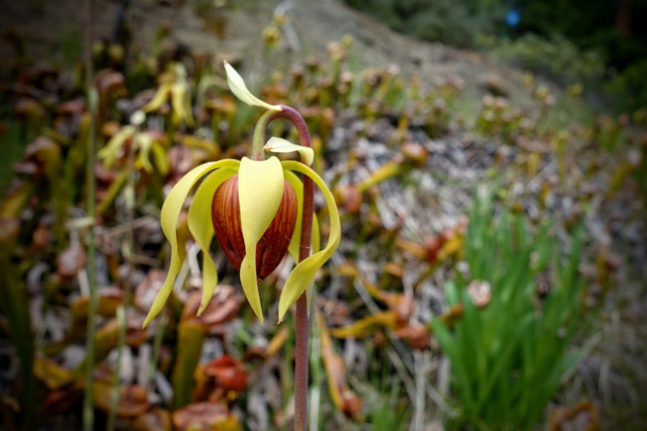
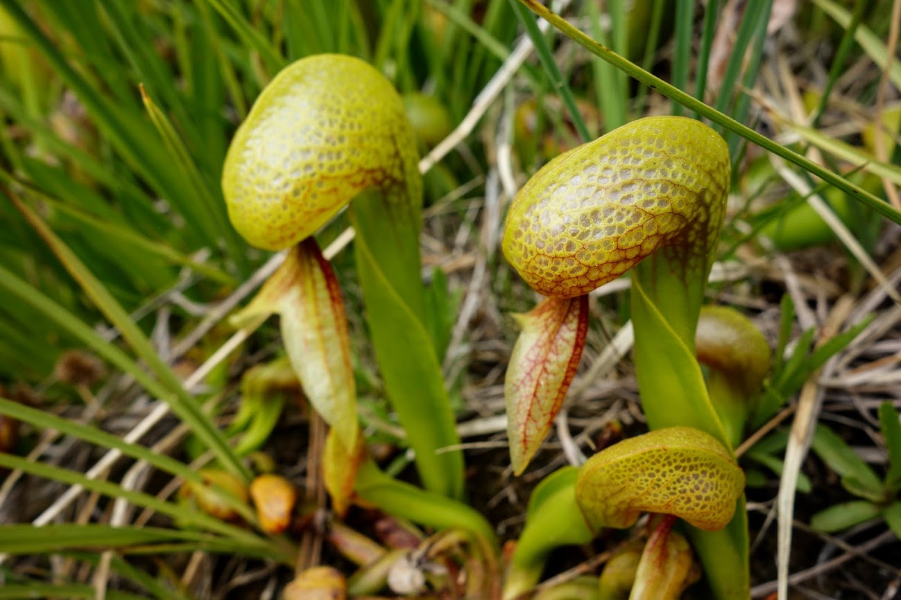
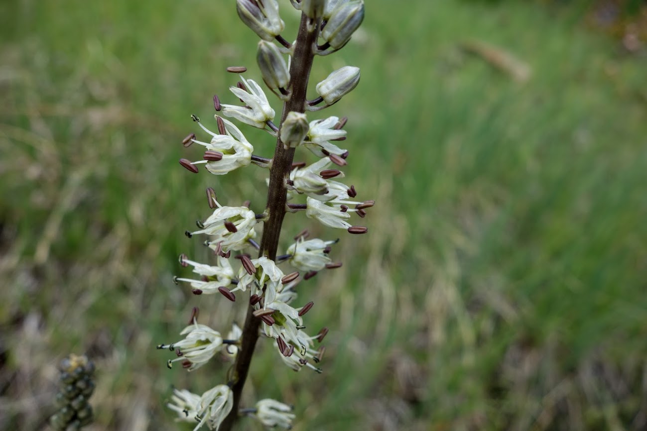
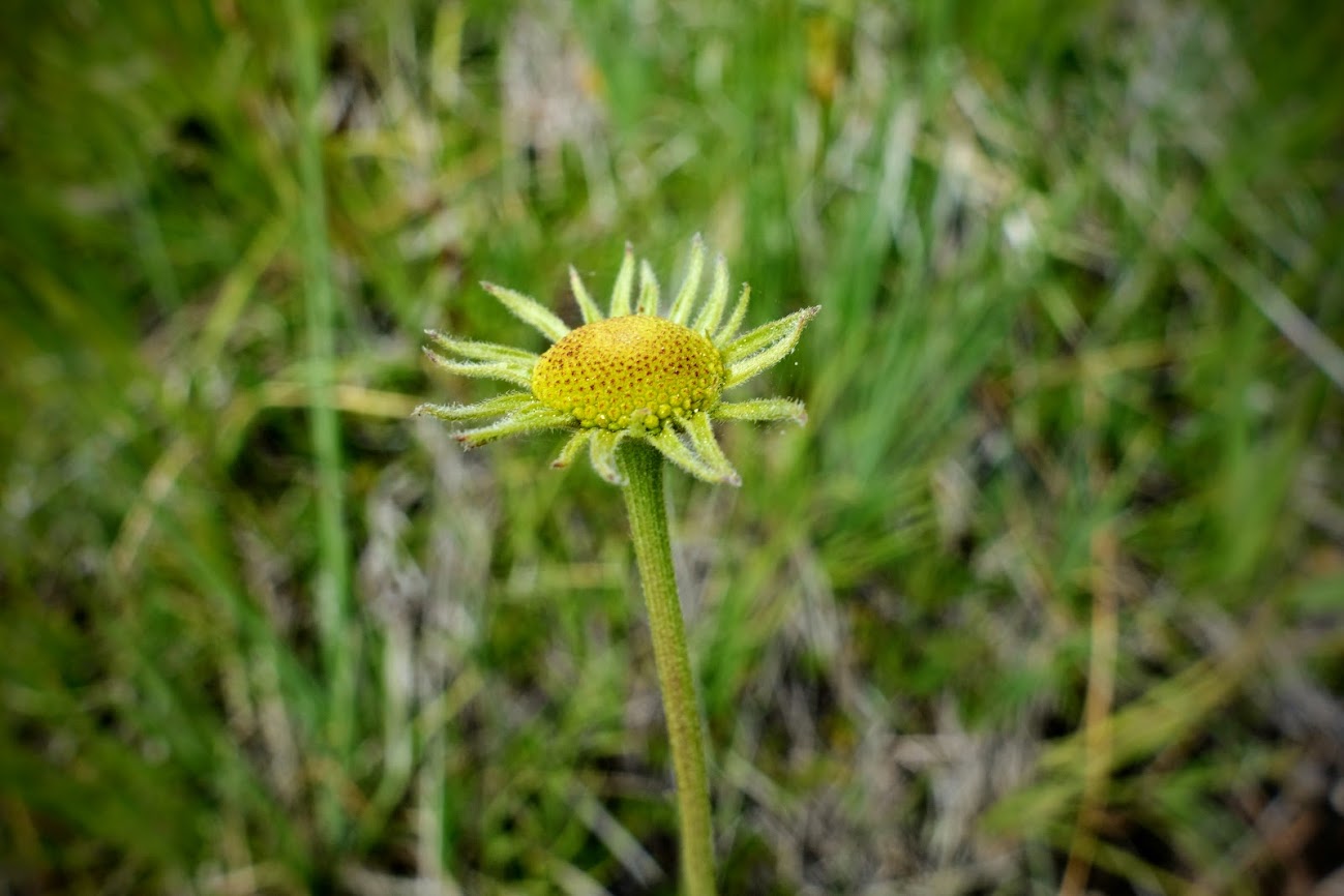
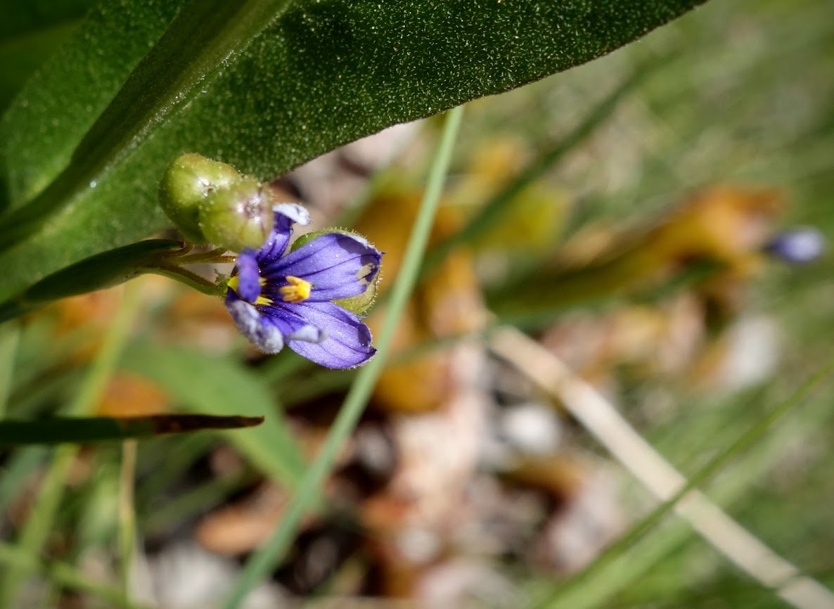
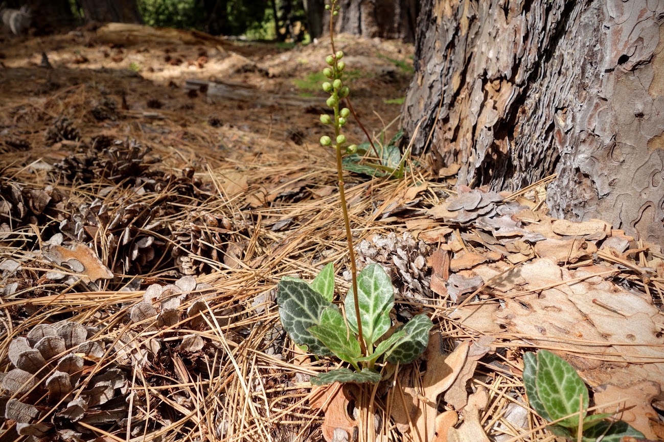
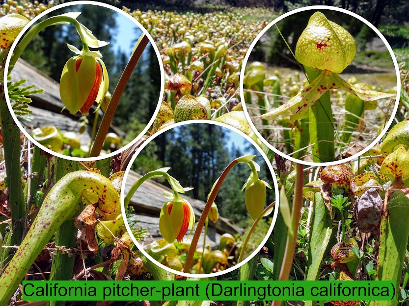
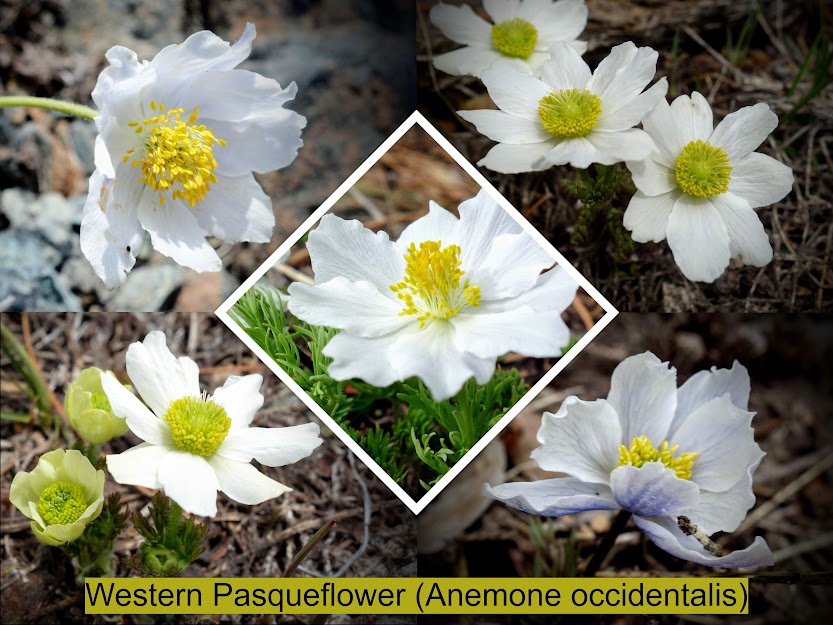
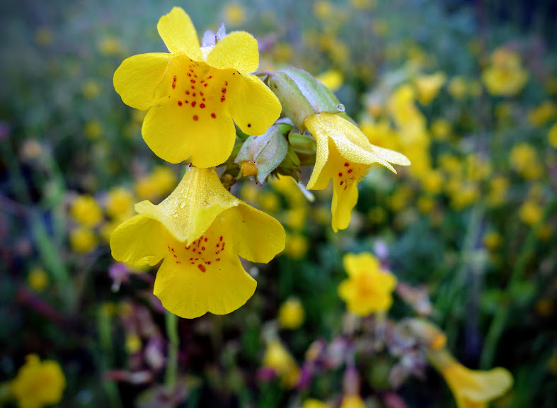
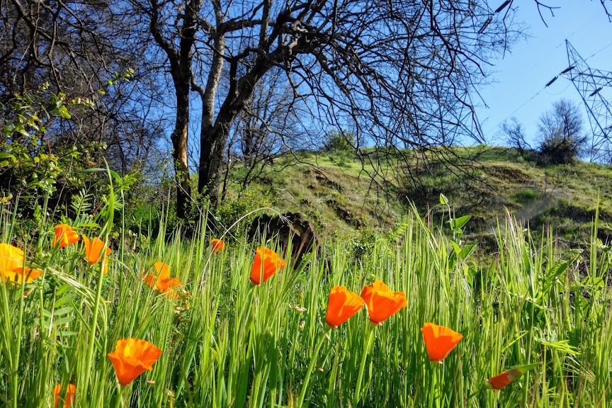
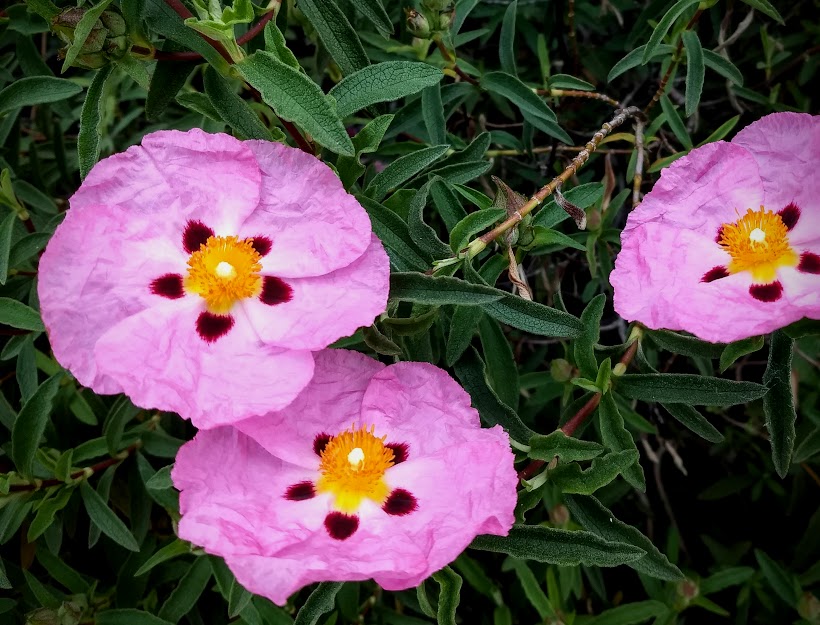
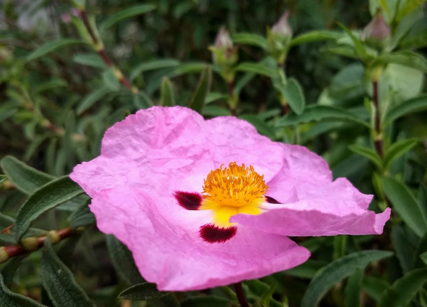
Flora and Fauna:
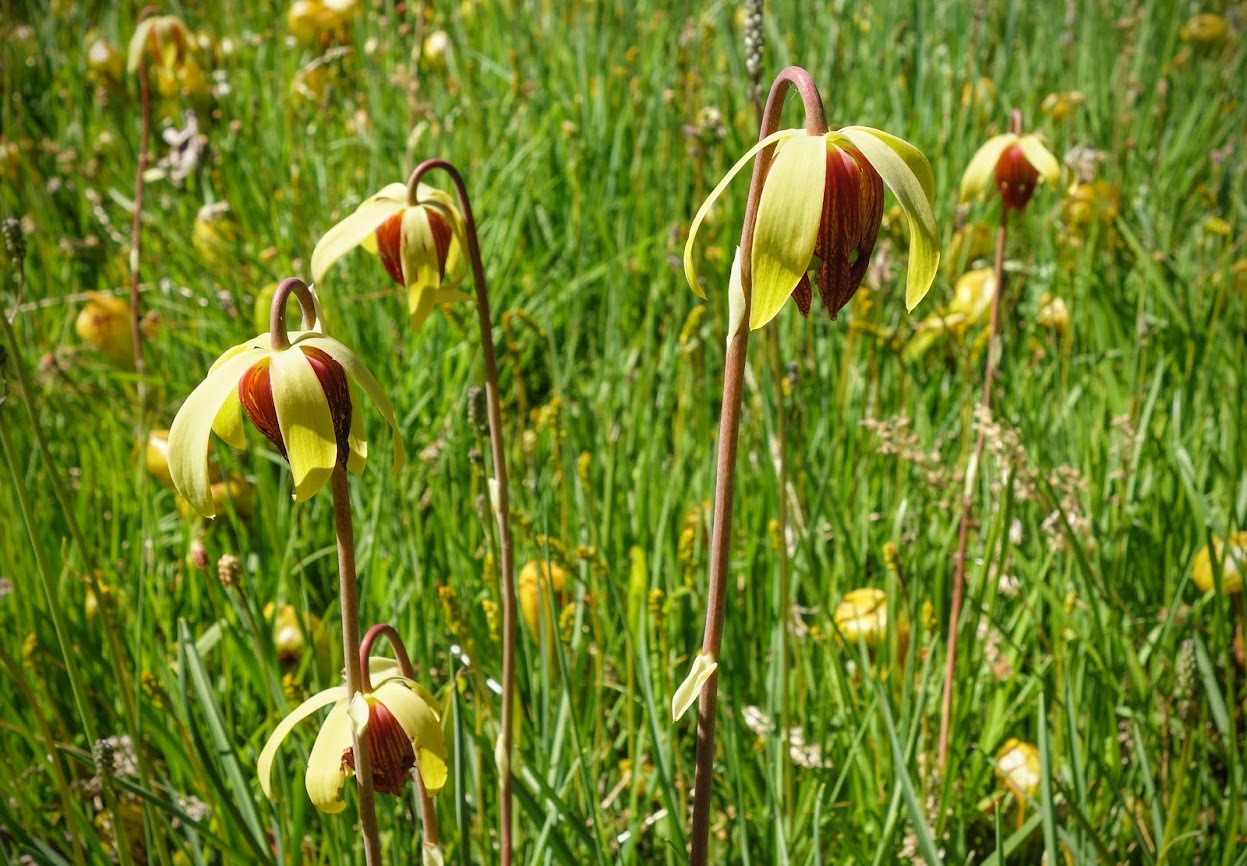
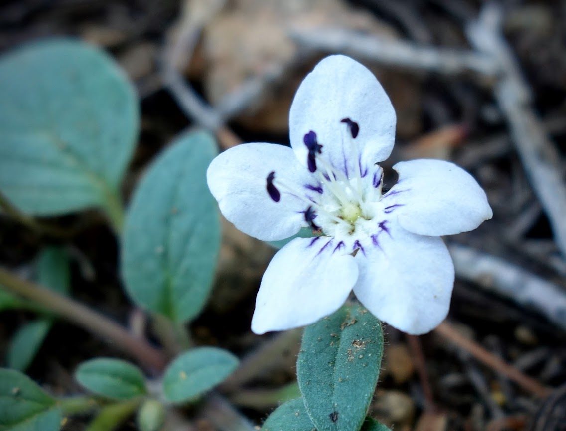
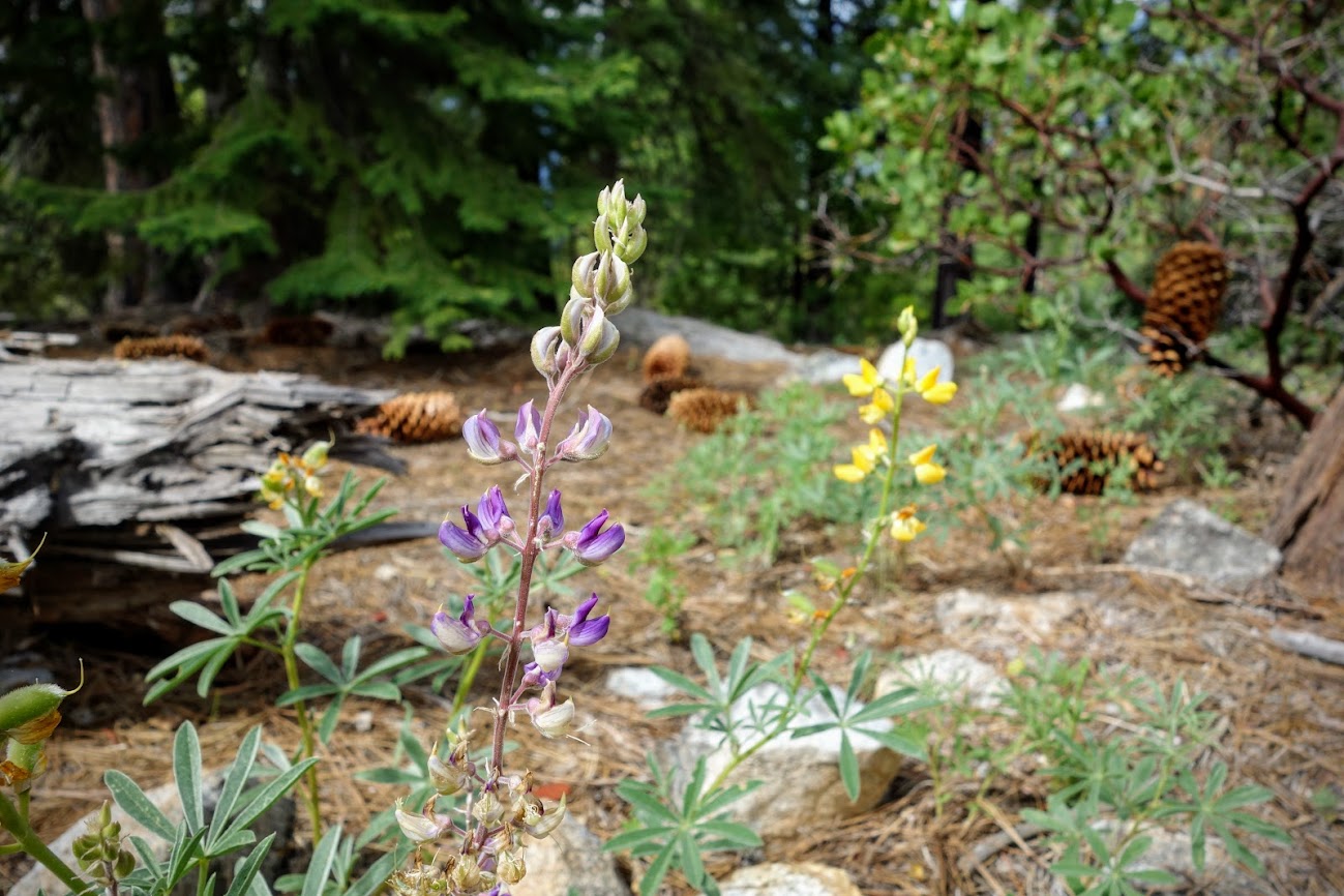
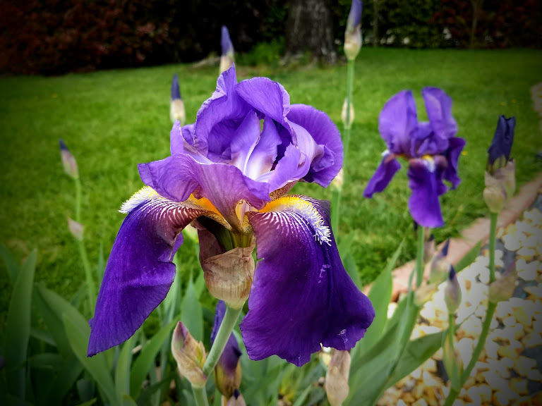
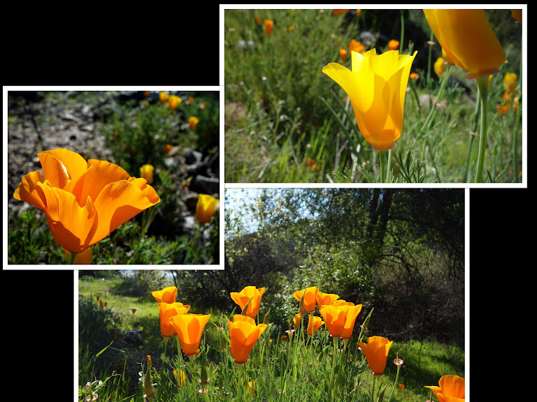
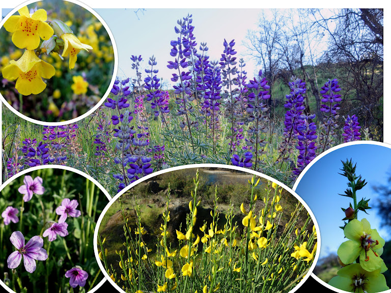
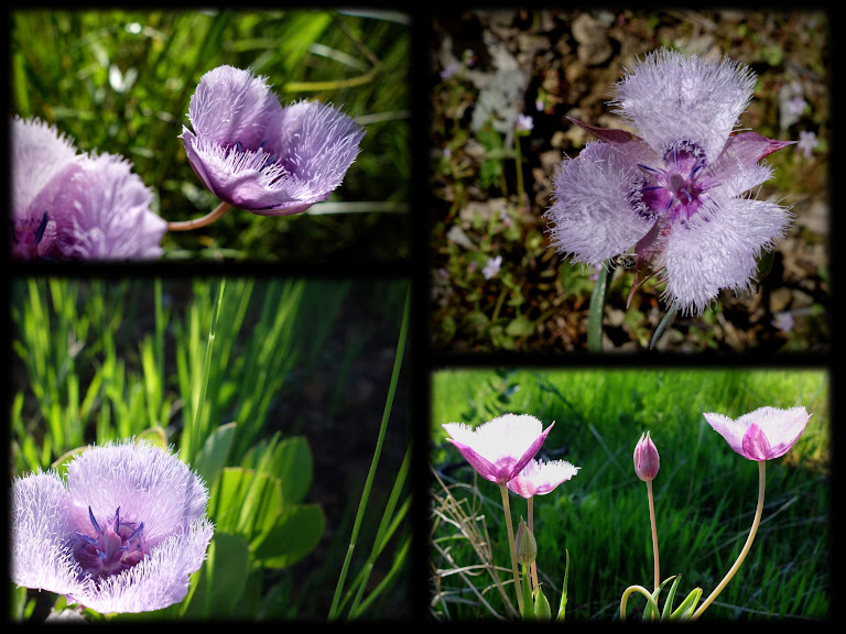
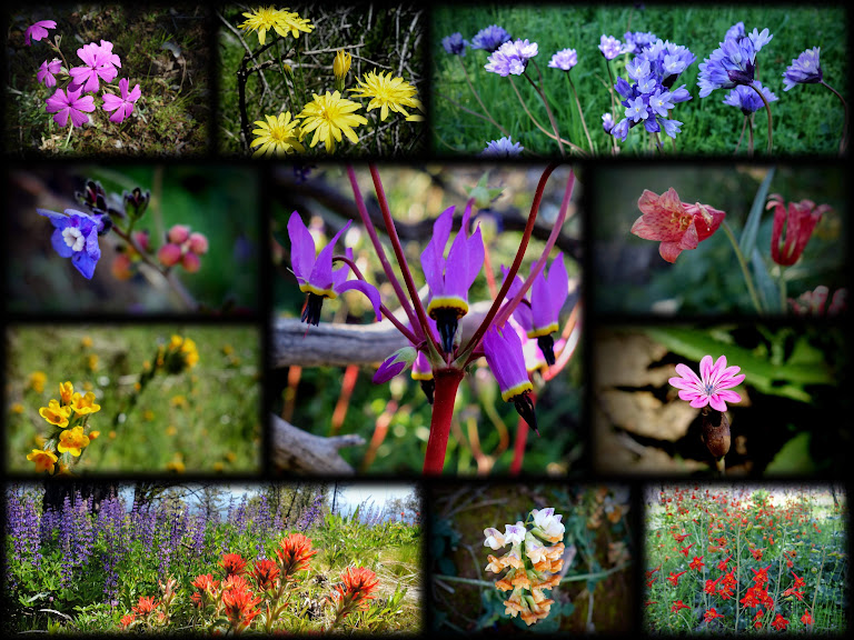
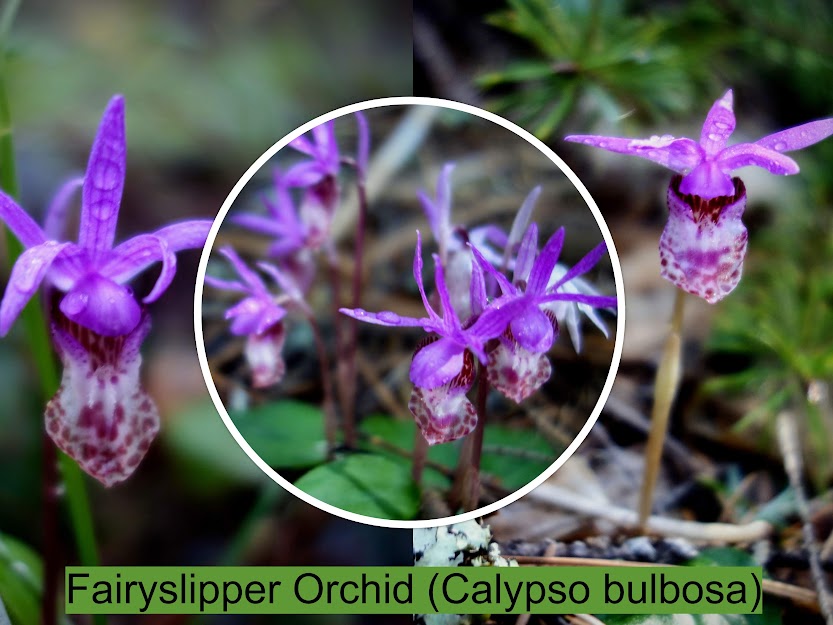
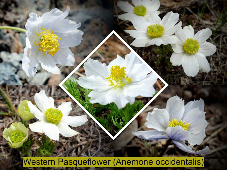
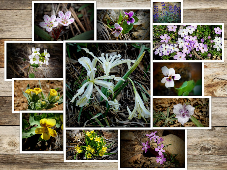
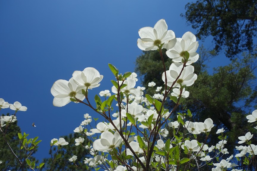
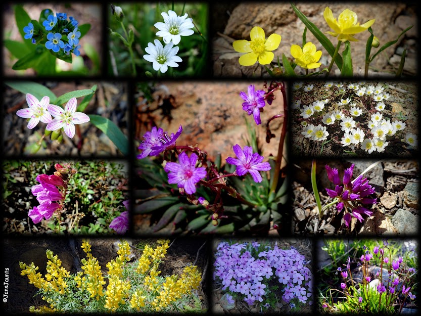
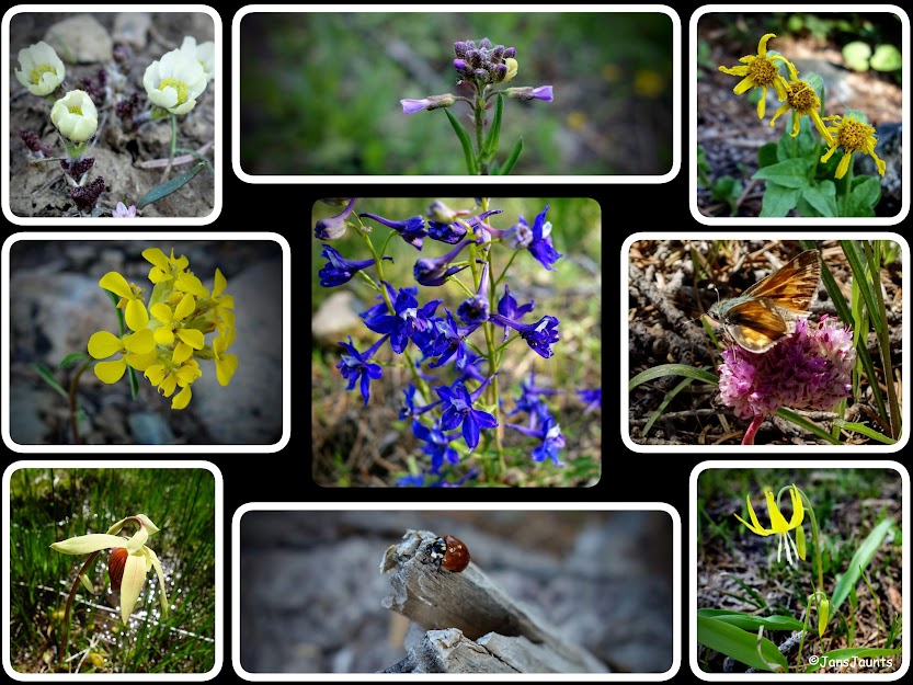
Early spring flowers were abundant on this trip. I was especially happy to see the lavender pasqueflowers just waiting to become Dr. Seuss blooms. 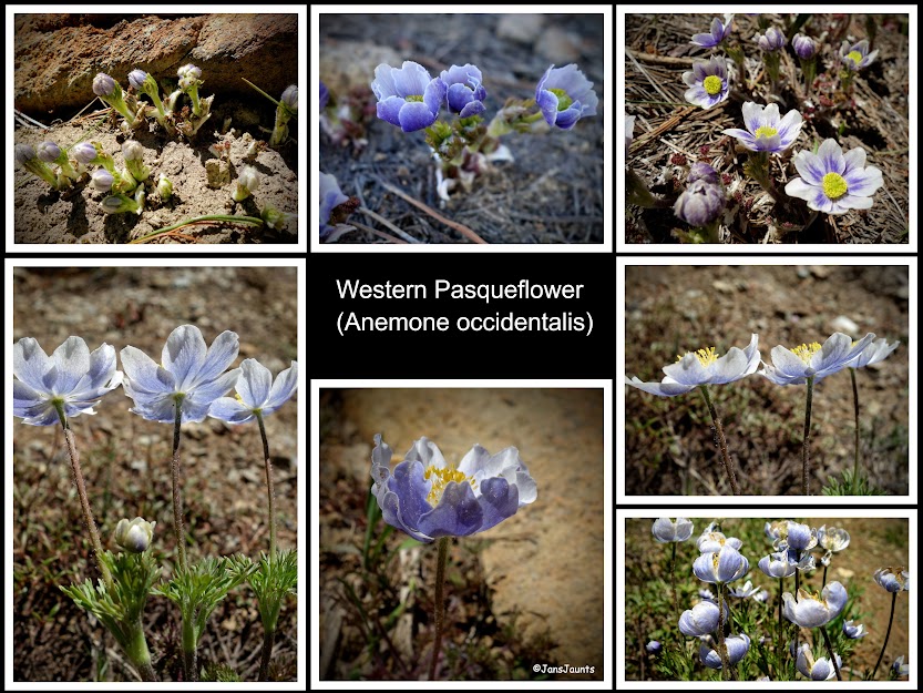
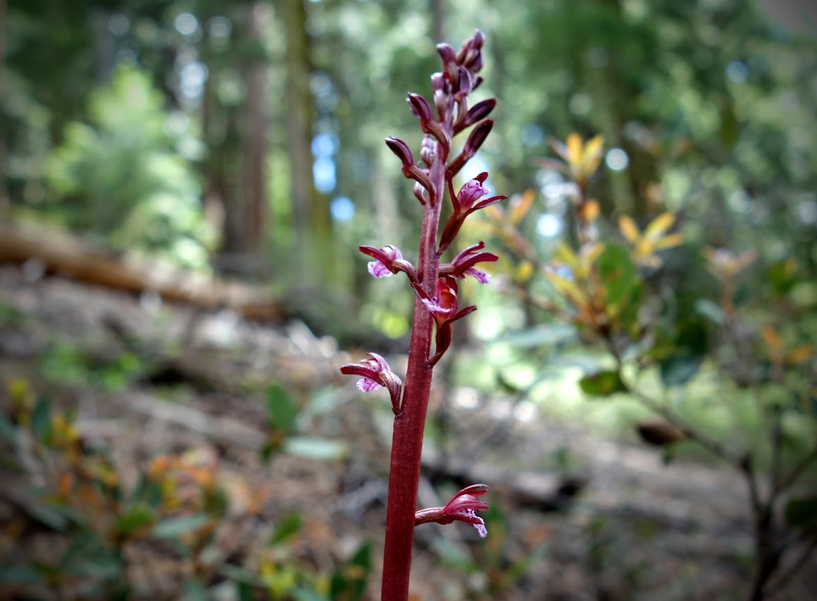
Although I thought these were all bleeding hearts, it appears a couple are really steersheads, all in the Dicentra family.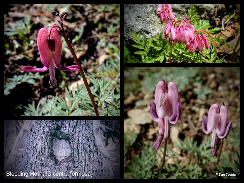
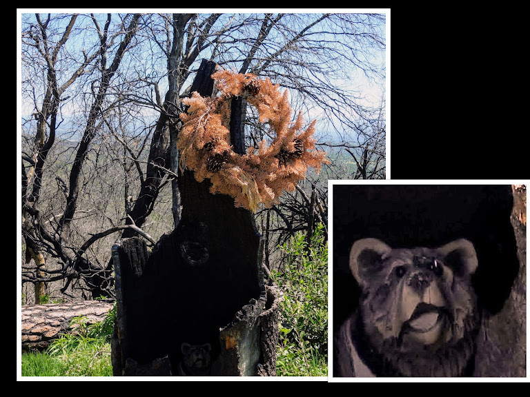
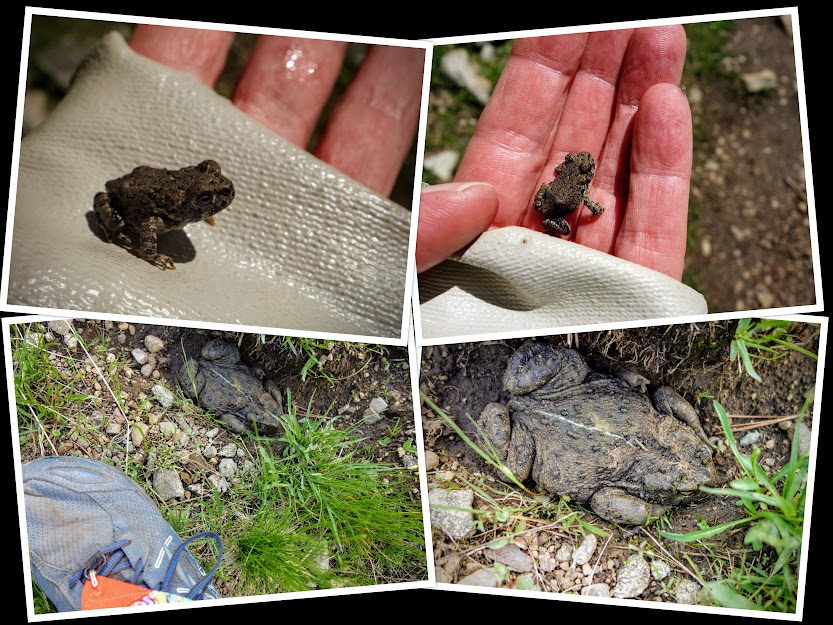
This trip was devoid of bears, instead my wildlife was this snake and a lot of frogs. 
For a high-use trail, it had very little trash or obvious TP. I picked up quite a lot of micro trash on the first section and later on found these sunglasses. They were covered in mud and looked like they’d been lost a long time ago. 
A little something new to get used to as we experience this COVID-19 global pandemic. 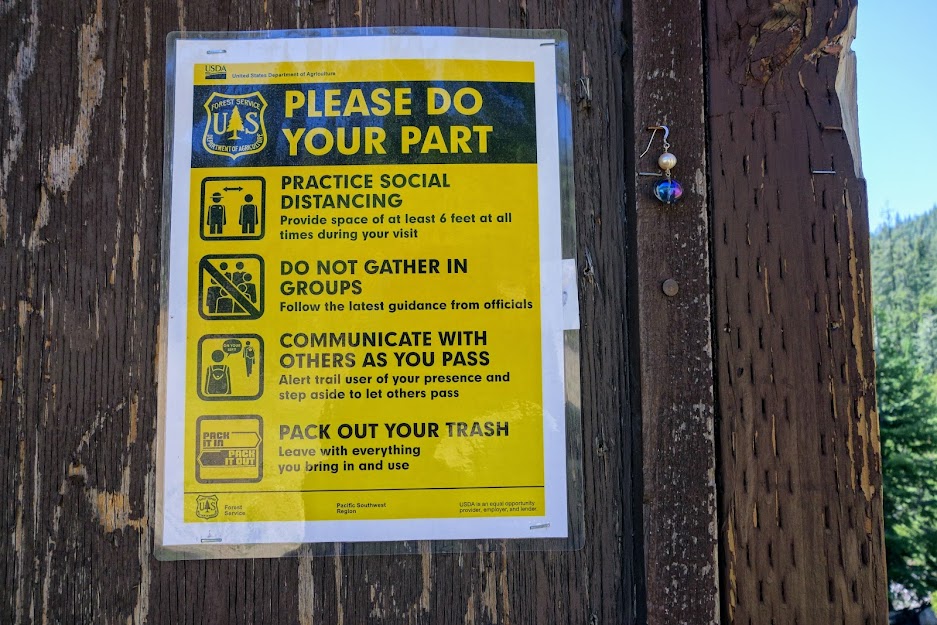
Adventure Dates:
Hike Details:
Resources:
Links:
Disclosure: Amazon affiliate links may be included which provide me a tiny kickback to help pay for this site.