Segments 11-15 are Collegiate East (CE), while Segments CW01-05 are Collegiate West (CW). According to The Colorado Trail Guidebook, “the East is the classic CT route. It has been a part of The Colorado Trail since 1987. Collegiate West was added to the CT as an option in 2012. The East is considered more civilized with more convenient town and trail access. It’s also lower in elevation” which is why I chose to hike several CE segments in June. In typical Jan fashion why hike the segments in order when you can mix things up? It’s been fun meeting hikers multiple times as I play hopscotch between segments.

After my time in the San Juan sections, I couldn’t resist more time above 12,000 feet. This segment is considered the highest segment in the Collegiate West staying above 12,000 feet except for the southern 3.7 miles. It’s 15.9 miles with 3,532 feet elevation gain and 4,591 feet loss hiking south toward Durango. My goal was to hike south 12-13 miles; however when my air mattress failed my first night, I opted to turnaround at 8+ miles instead completing 16 miles round trip with 3,000 feet elevation gain/loss.

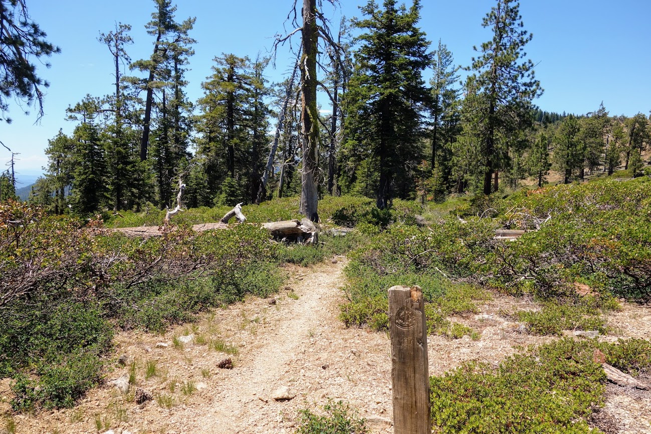
I started at Cottonwood Pass, hiking south toward Tincup Pass Road.

Several hikers wisely camped at this small pond near the trailhead avoiding thunderstorm exposure in the upcoming few miles.

The Collegiate West has long been a primary route for those hiking the Continental Divide Trail (CDT) although many choose to hike the Collegiate East if they arrive in the early season.

At 7am I could only wonder if these dark clouds were coming or going. There are several ponds/lakes near the ridges, sometimes offering both water and a place to camp.

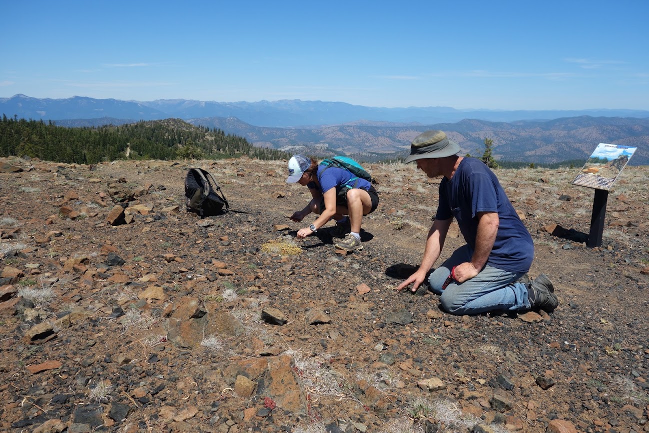
Near the beginning of my hike I met these three geologists, from I believe the Rocky Mountain College, off to do some research. Taylor Park Reservoir is visible in the distance. It’s accessible via Cottonwood Road and gets heavy camper/RV use making for great hitching opportunities for hikers looking to get into Buena Vista to resupply or rest.

There were still a few snow patches near the trail. I can’t imagine attempting this section in the snow as there are long traverses along steeep hillsides.

In typical Rocky Mountain fashion the trail is rarely flat. It drops off this ridge and then goes up to toward the next peak.


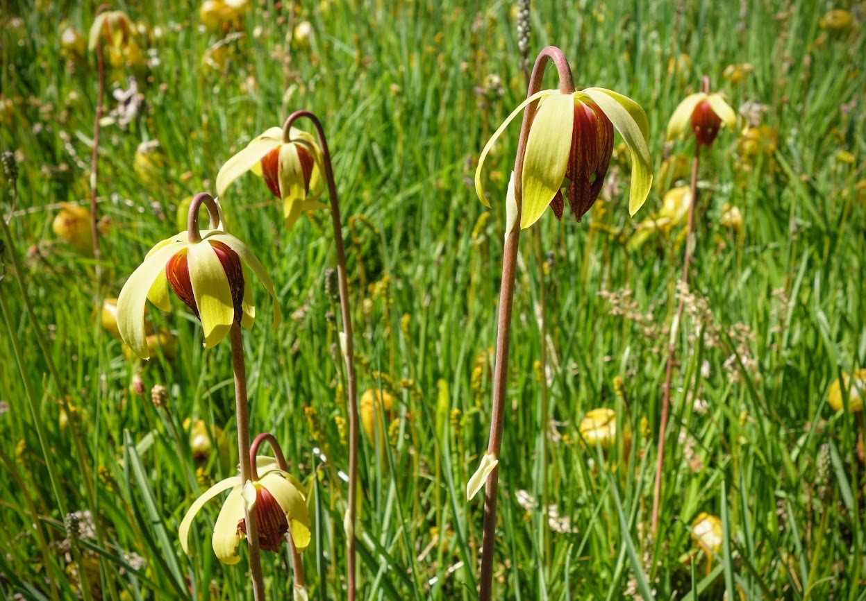
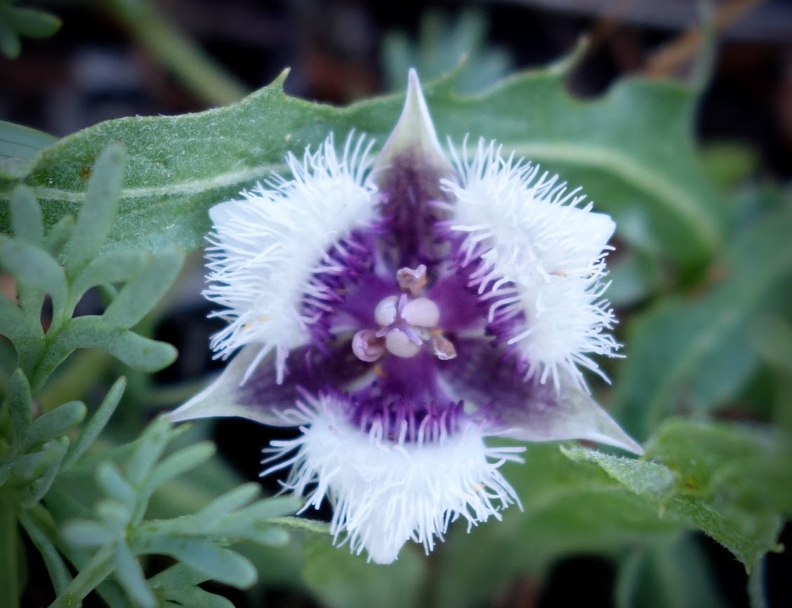
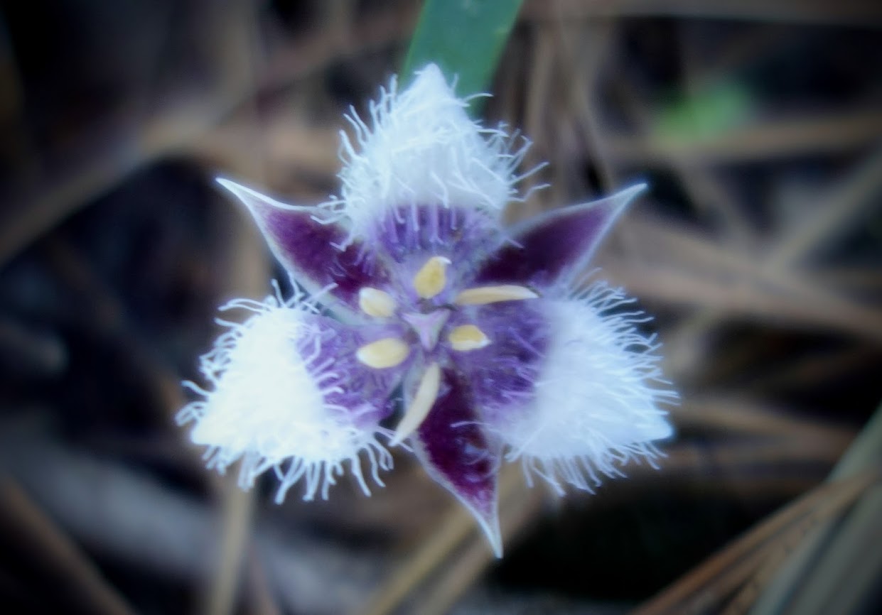
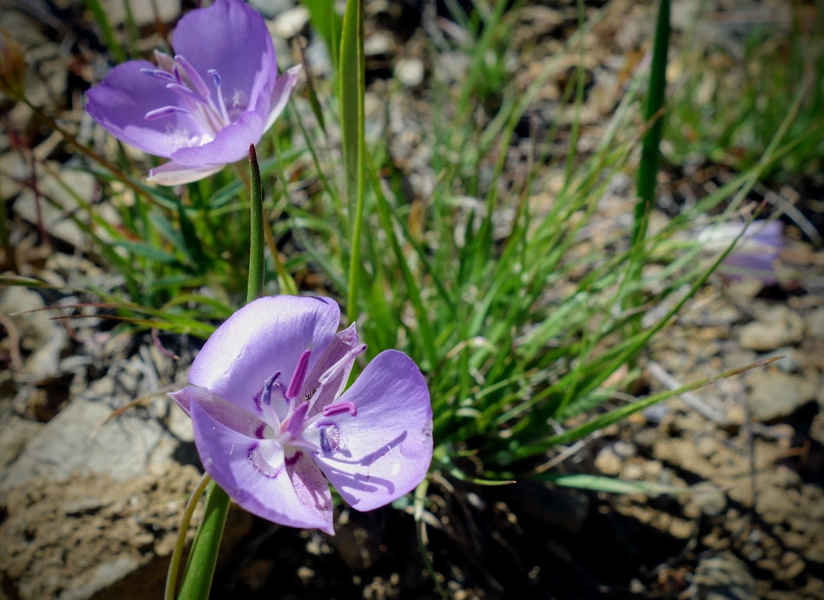
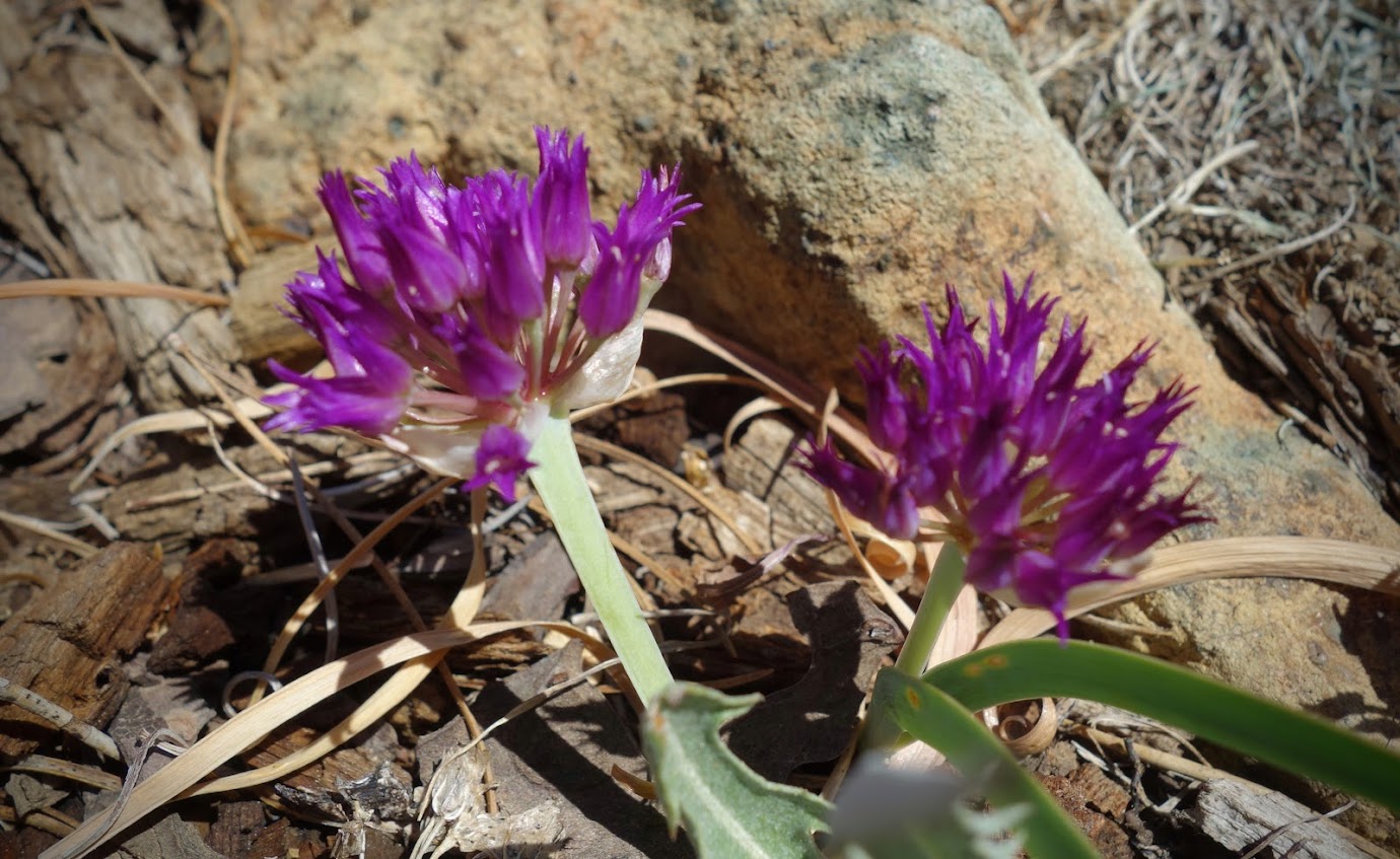
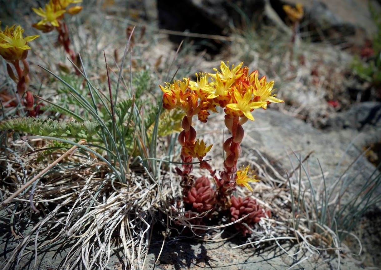
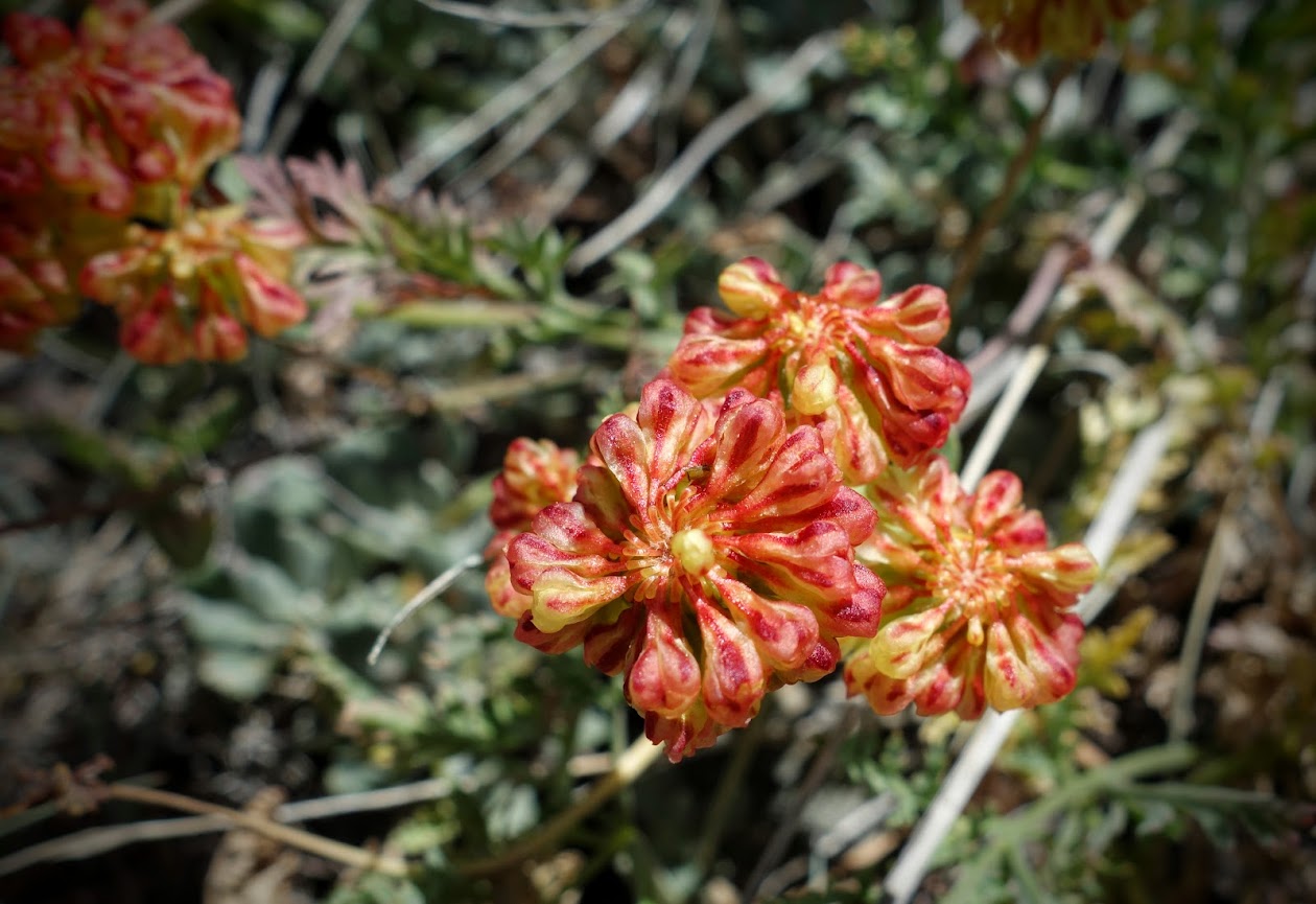
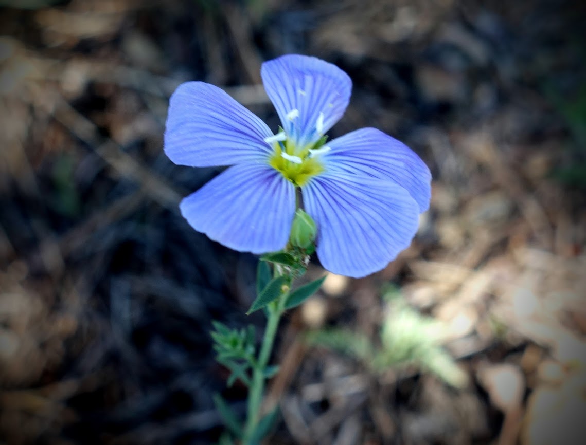
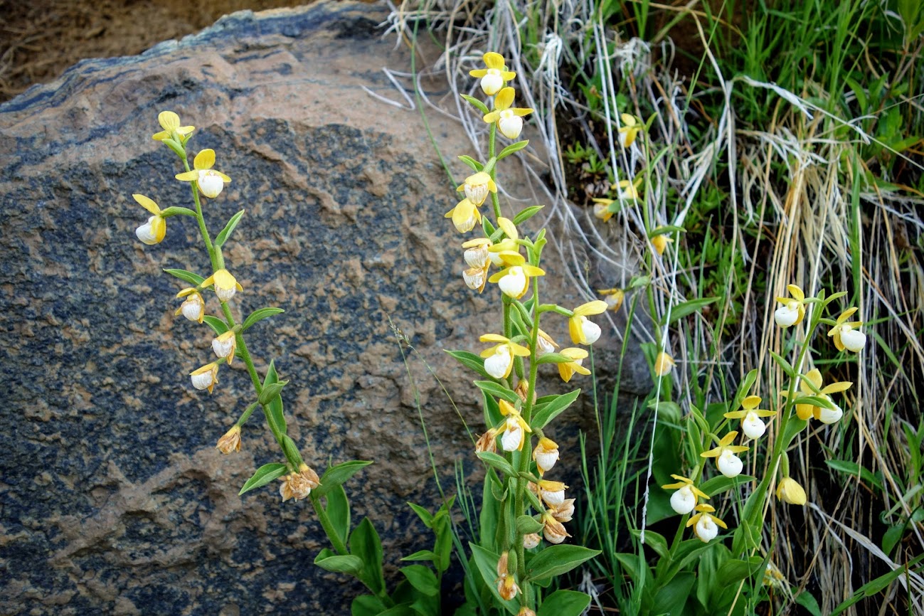
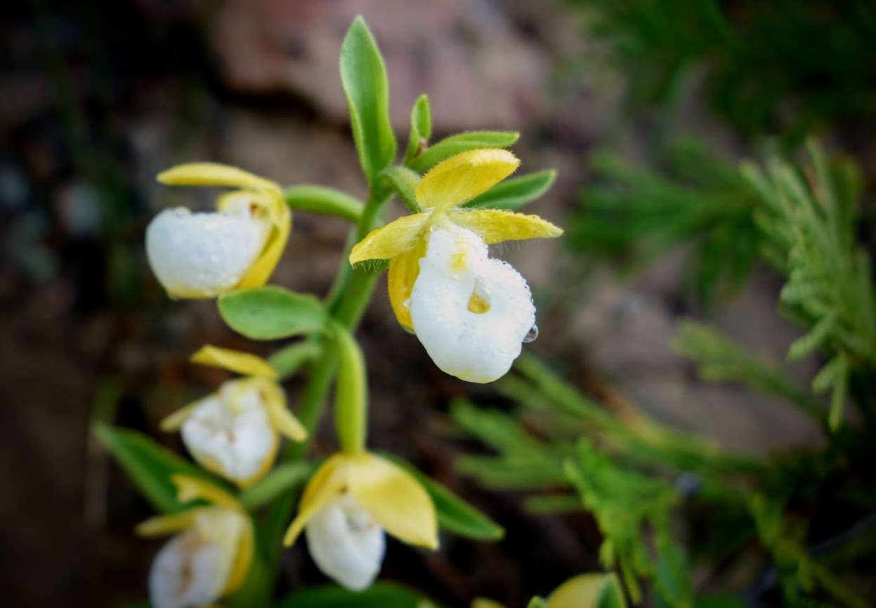
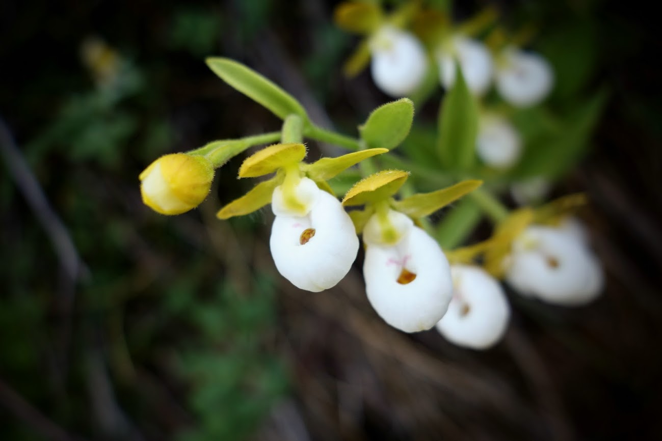
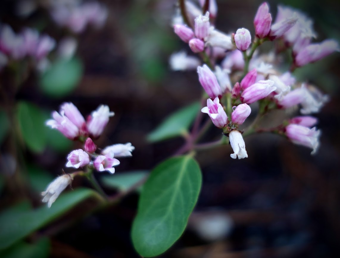
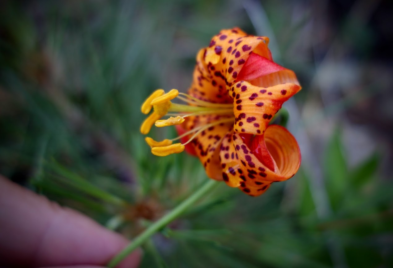
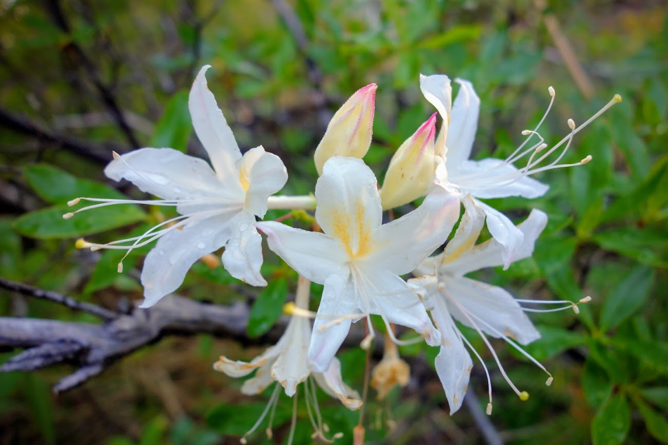
There were still plenty of flowers showing off their colors. I was thrilled with the long season I experienced.

I love all the geology colors and textures. This is one of the reasons I came to Colorado!

This was the nearest I came to snow and the trail turned so I didn’t even have an opportunity to grab a handful.

The marmots are happy greeters.

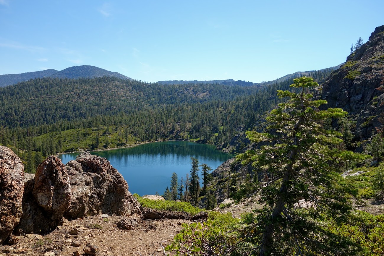
This is Lost Lake, requiring a drop of 700 feet and a 0.3 mile detour. It’s also popular with day hikers as there is a direct trail from the highway. On my return trip I saw a group on the shoreline. It would take a lot of motivation on my part to descend knowing I’d have to climb back up the next morning, but at over 12,000 feet water sources are few and far between, plus this would be a good option for shelter during a thunderstorm.

This section had a lot of rocky trail areas. It was great for my feet/ankle conditioning, balance and micro muscles, but they sure were tiring.

I believe these are cobweb thistles. They were loaded with bees.

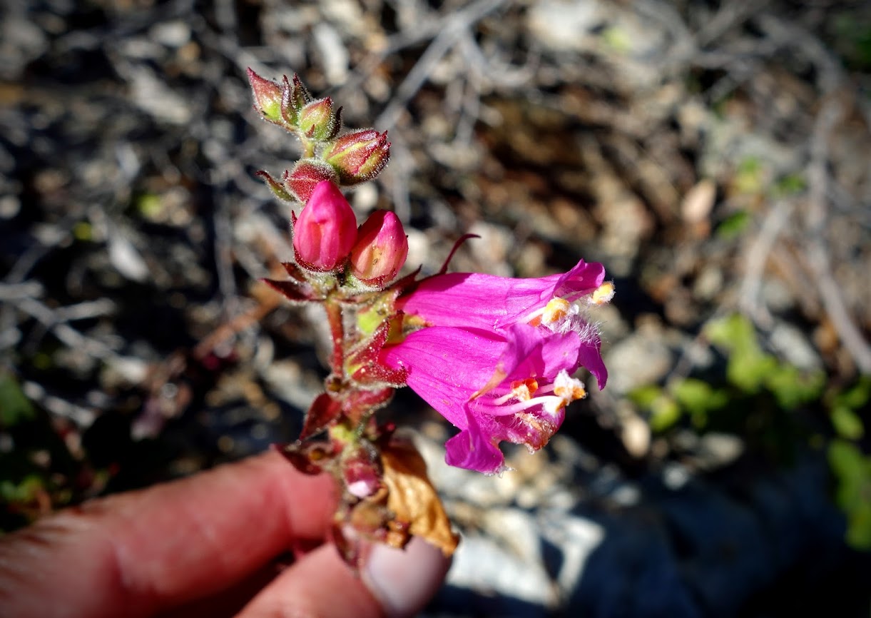
I found Colorado Columbine blooming on nearly every segment; although to date I was still missing that perfect photo of a meadow full with a cool background.

The first colorful buckwheat blooms I’d seen this summer.

This is the beginning of a long traverse that goes along the lower tan area below the pointed mountain, front and center. I worried about the condition of the trail but am happy to report it was flat and sufficiently wide. I didn’t have any exposure concerns although others might.


There were lots of surprises to be found along this stretch of trail that looks barren.

Much of these green hillsides were filled with anemone in Dr Seuss mophead stage. It would have been amazing to see the mass display.

Mountain Deathcamas (per Seek App)

I’m guessing these are either a bud or seedpod.

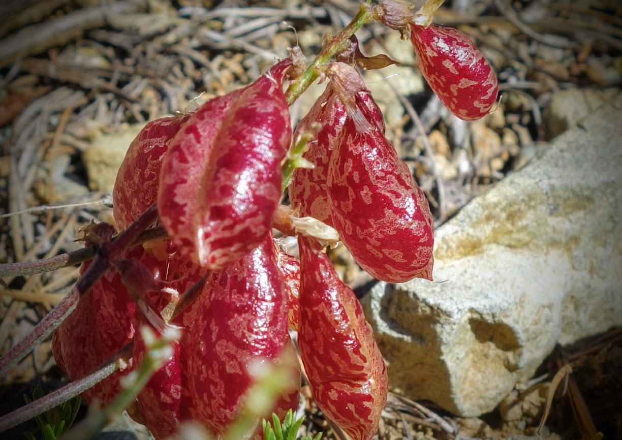
Bladderpods

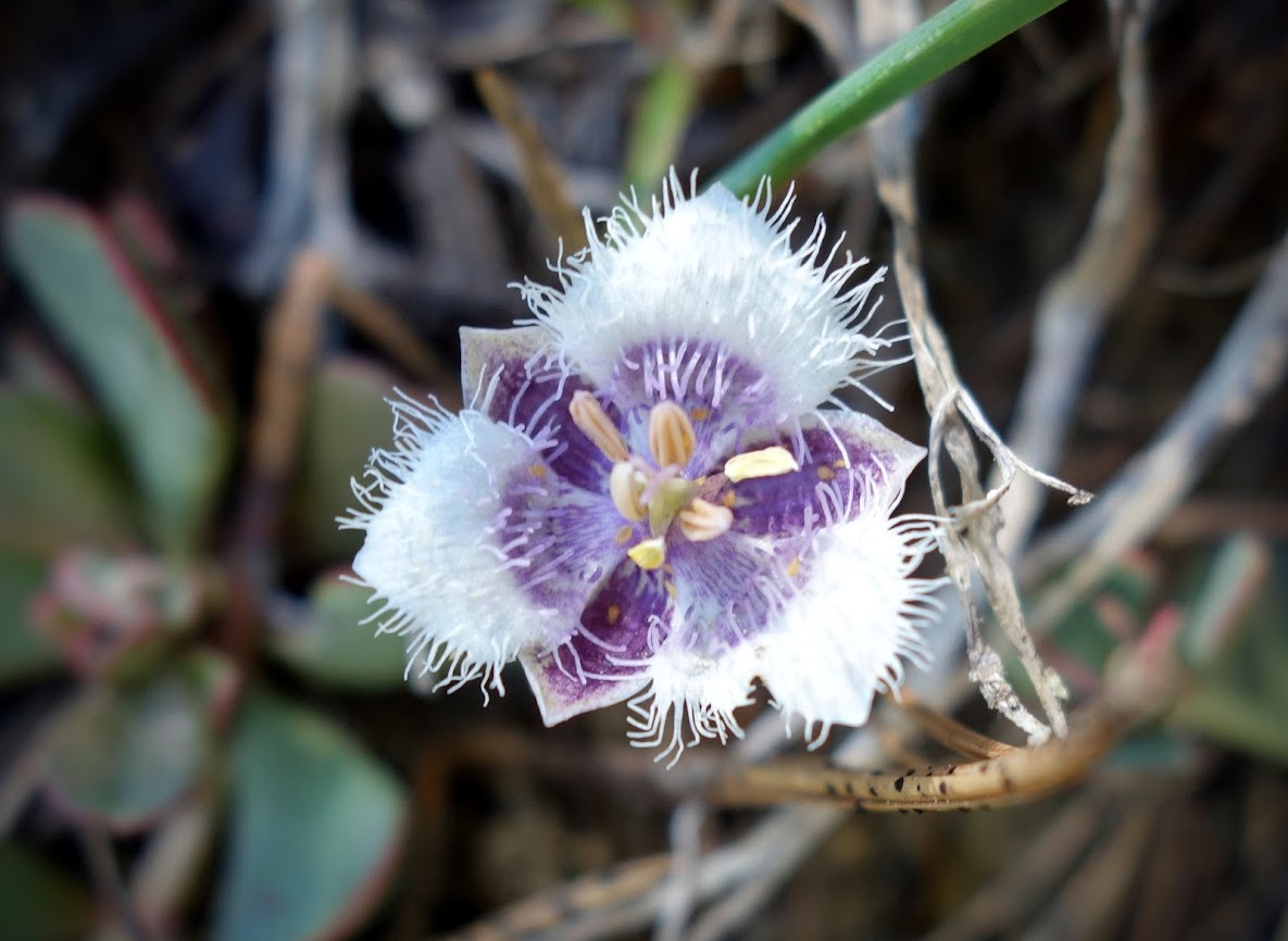
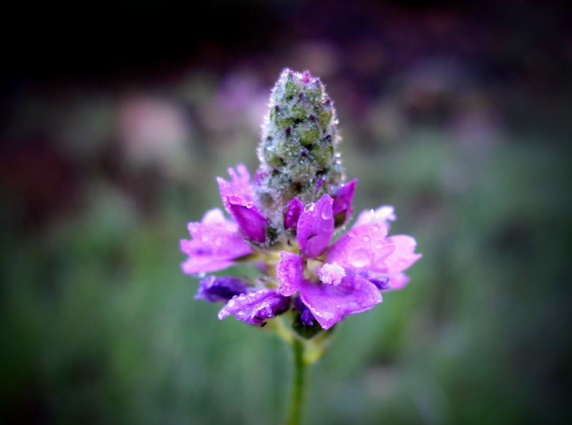
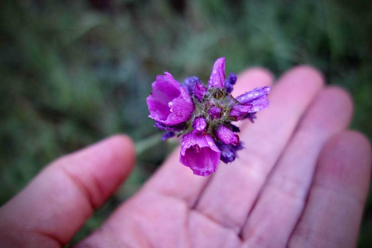
I finally solved the mystery of the purple heads I started seeing a few weeks ago.

Hard to believe there would be Elephant Head Orchids on that barren looking hillside, currently devoid of water.

My biggest surprise was finding Alpine Springbeauty blooms.


There was some shrubby fireweed.


Then the terrain changed as I exited that long traverse through tundra. I found trees! I marked these areas on my mapping app as places to hide during thunderstorms.

Star Gentian, a new one for me.


I never get tired of seeing Sky Pilots.

There was new geology eye candy as I crossed over the pass.

The light was flat and I wanted the sun to come out and brighten up this spot. This is prime moose habitat, and on my return trip I was happy to find some nearby.


While still above 12,000 feet, this little valley is home to creeks and thunderstorm-safe camping.

Where there’s water, there are prolific blooms.


Healthy bunch of monkeyflowers near a stream.

Gentian with a visitor.

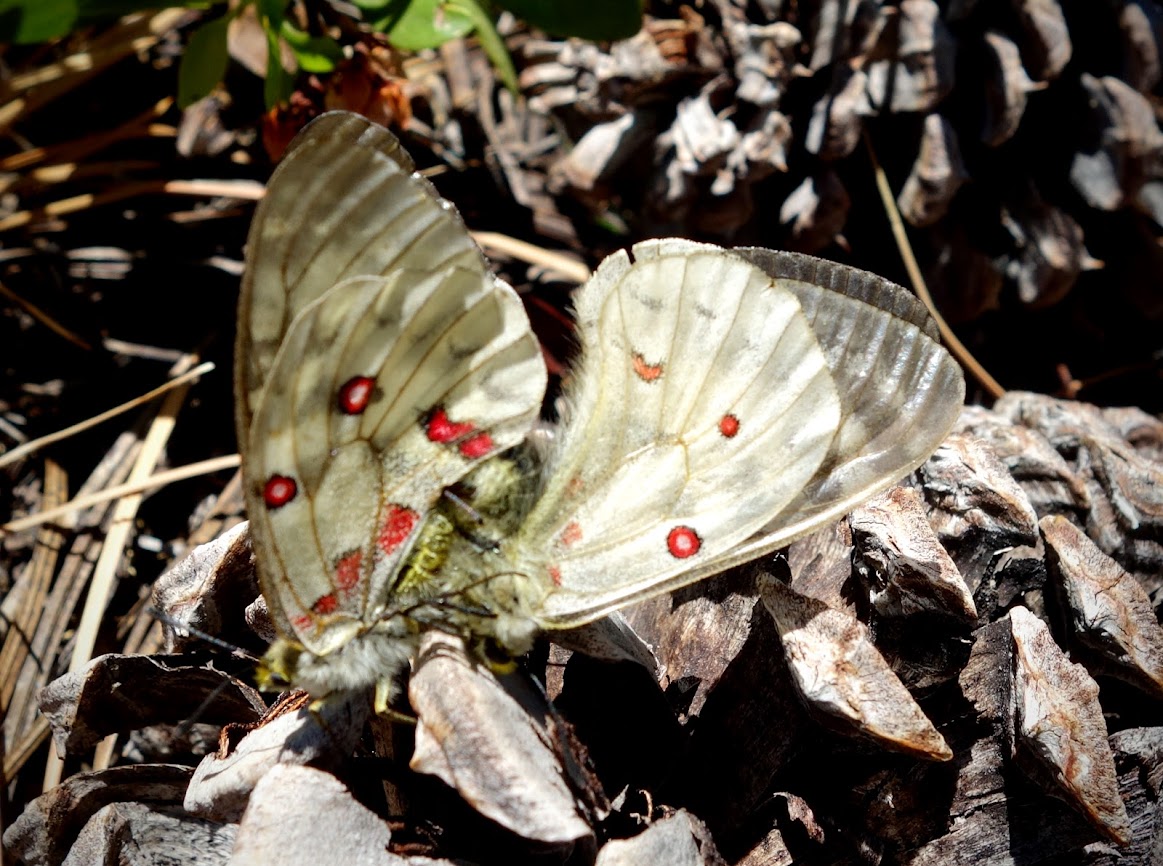
I startled a family of ptarmigan. Do you see mom?


Then I was off to find my campsite, a place with water and sheltered from thunderstorms.

And yet another colorful mountain. They don’t call it Colorful Colorado for no reason.

Looking toward my next day’s objective.

I camped earlier than I would have preferred but I knew the thunderstorms were coming. I sat near this rock pile watching marmots and pikas, hoping for a fab photo opportunity.

At 2:30pm the rain began and didn’t stop until 11:30pm. The thunder crashed, rocked and rolled as did the lightning. It was a crazy night and I was grateful for my protected site.

Stars came out at midnight, accompanied by heavy wind. The next morning I found alpenglow, the first on The Colorado Trail.


With my air mattress going flat every hour, I made the decision to turn around rather than spend another miserable night. These old bones don’t like that hard ground. This ridge would need to wait for a future visit.

A hiker in front of me saw this group of three moose (meese?), including a bull. They spooked and we heard a female voice yelling WTF. Soon we found her outside her tent. That could have ended badly.

See the hiker in the rocks? Yep, that’s the trail. It took focus and concentration to get through these areas without twisting an ankle or falling.


More geology eye candy.

What a surprise as I crossed over the pass. The valley was filled with low clouds or fog.


I still wasn’t motivated to drop down to visit Lost Lake.

I enjoyed watching the fog swirl up and over the ridges.

It was my first gusty day since being on The Colorado Trail.

By 11:30am, I was past due a break. I knew this wind shelter was within sight of the trailhead and it offered cell. Wouldn’t you know it within 15 minutes a rain cell moved over and by the time I got back to my car I was soaked. What a way to end this section. Forecasts seem to be worthless and it’s just as well to plan on thunderstorms and rain. Locals told me it’s been unusually wet this summer.

Colorado Trail Segments Hiked:
- 1-5 CO – THE Colorado Trail, Segments 1-5, Waterton Canyon to Kenosha Pass (06/22)
- 12-13 CO – THE Colorado Trail, Segments 12-13, Collegiate Peaks Wilderness (06/22)
- 11 CO – THE Colorado Trail, Segment 11, Twin Lakes and Mount Elbert (06/22)
- 10 CO – THE Colorado Trail, Segment 10, Mount Massive Wilderness (06/22)
- 9 CO – THE Colorado Trail, Segment 9, Holy Cross Wilderness (07/22)
- 8 CO – THE Colorado Trail, Segment 8, Kokoma Pass (07/22)
- 7 CO – THE Colorado Trail, Segment 7, Tenmile Range (07/22)
- 26-27 CO – THE Colorado Trail, Segments 26-27, Celebration Lake to Indian Trail Ridge (07/22)
- 23-24 CO – THE Colorado Trail, Segments 23-24, San Juan Mountains (07/22)
- 21-22 CO – THE Colorado Trail, Segments 21-22, THE CT High Point (07/22)
- CW03
As of this post, I’ve hiked about 233 miles toward The Colorado Trail plus 161 bonus miles (repeats/side trails) with over 64,000 feet of elevation gain/loss.
Tips:
- The Guthook/Far Out App and Colorado Trail Association Guidebook and Databook are helpful in planning section hikes. The guidebooks details parking and trailhead options along with the elevation profile. Far Out was a great way to plan my turnaround based on mileage and elevation gain/loss. I also used Gaia with the Colorado Trail Nat Geo layer.
- Lake City was a decent resupply and regrouping town. I used WiFi at the Library and a coffee shop.