MT – Beaverhead-Deerlodge National Forest, Anaconda-Pintler Wilderness, Carpp Creek Trailhead (08/23)

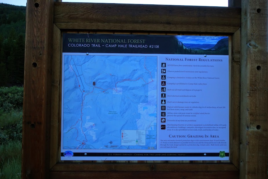
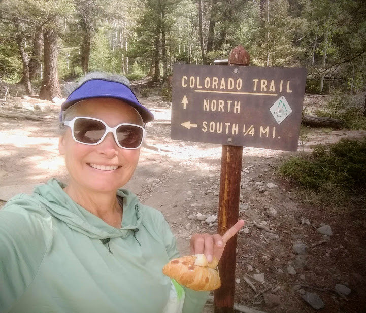
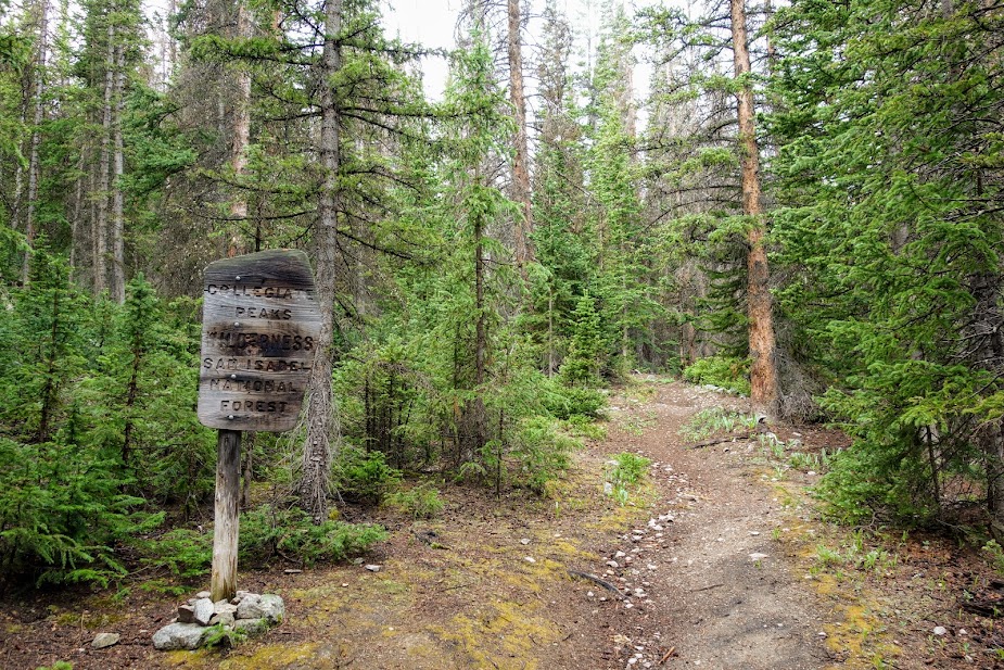
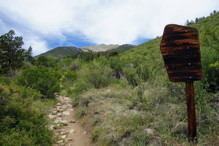
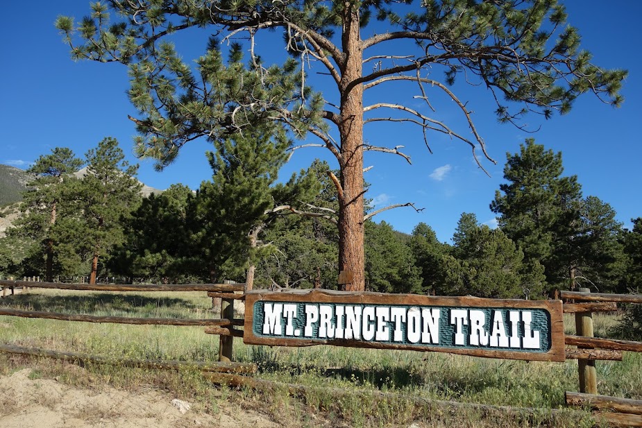
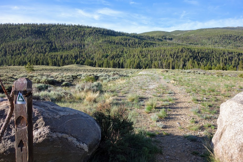
This was another hike recommended by the ranger I met in Philipsburg. Finding the trailhead is a bit of a challenge as it seems to have been renamed several times. My digital map had it labeled Mirror, the wilderness map showed it as Upper Carpp Creek, while the trailhead sign says Carpp Creek.

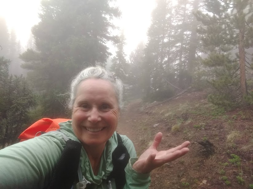
I awoke to blue skies but by the time I was packed and ready to go, the sky was swathed in smoke and marshmallow clouds, which sometimes forecast approaching storms.

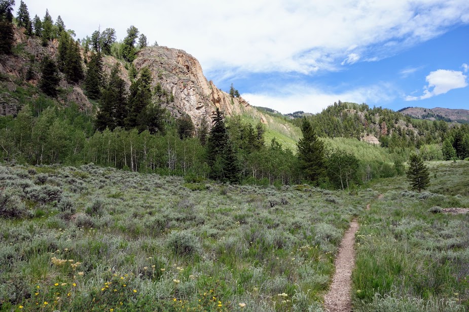
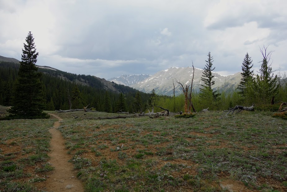
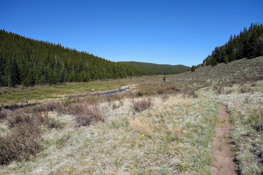
My plan was to hike a counterclockwise loop, connecting a bunch of lakes, with Lower Carpp Lake being the first.

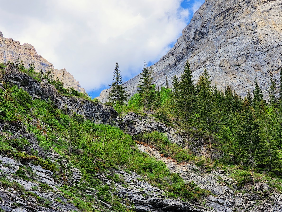
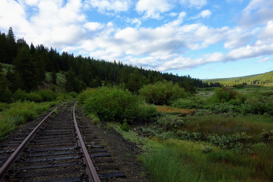
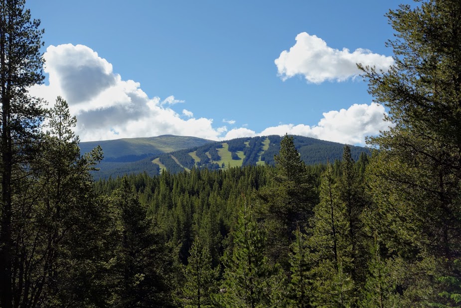
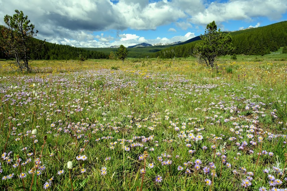
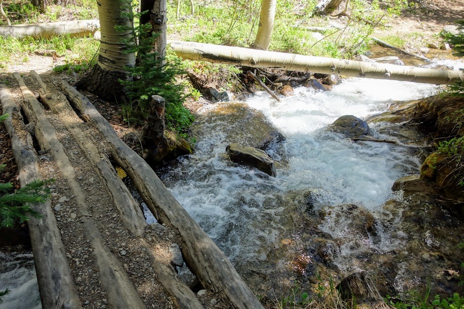
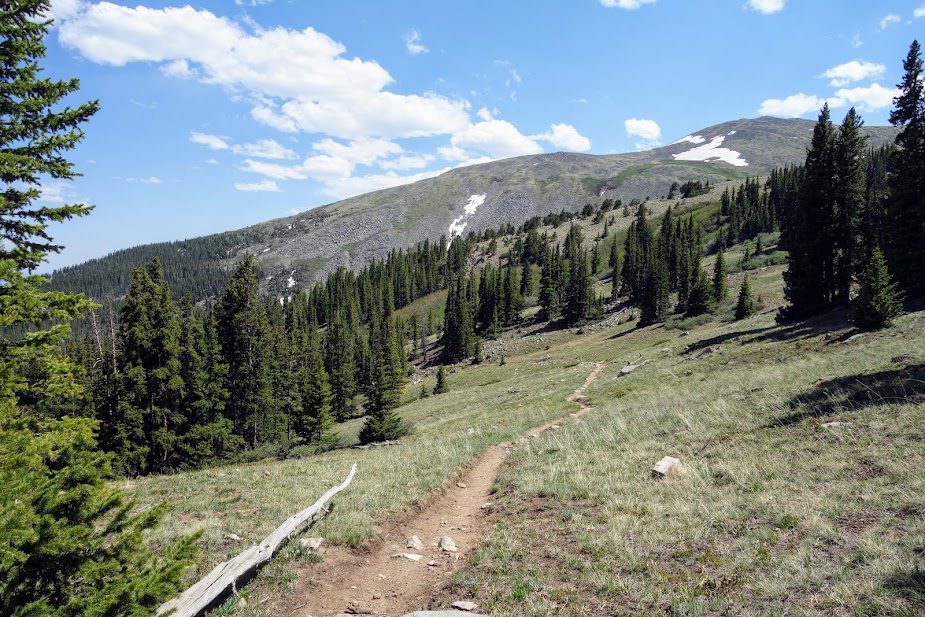
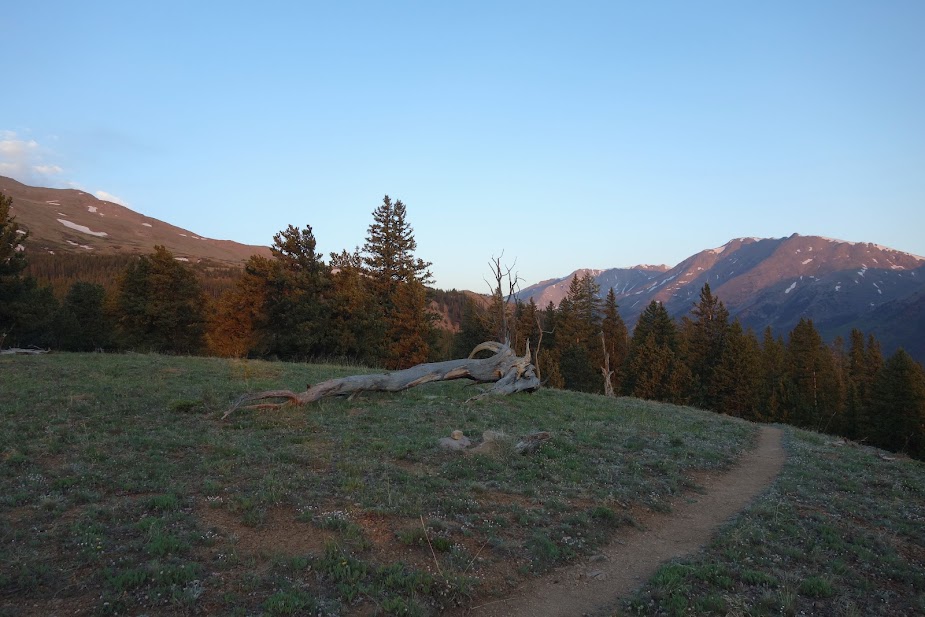
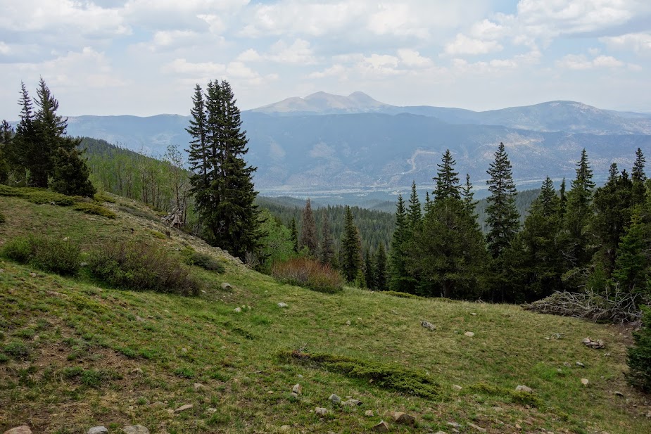
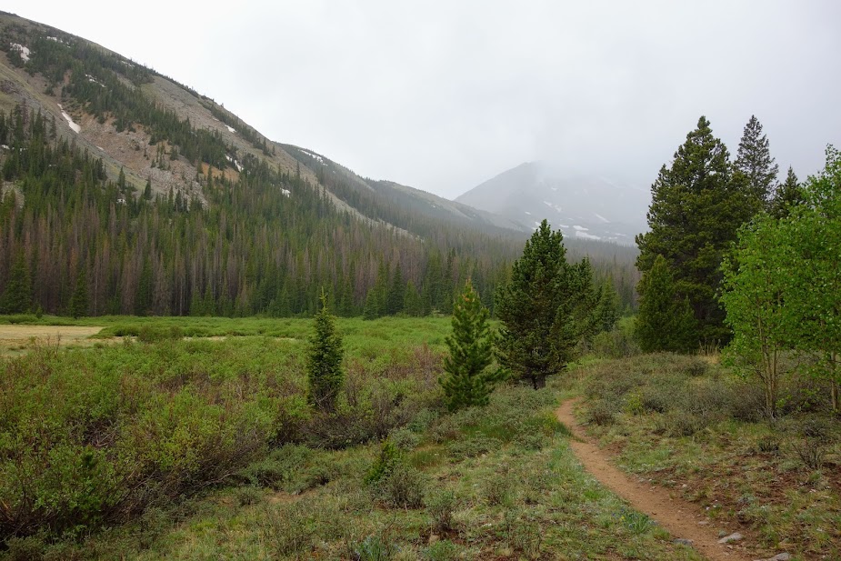
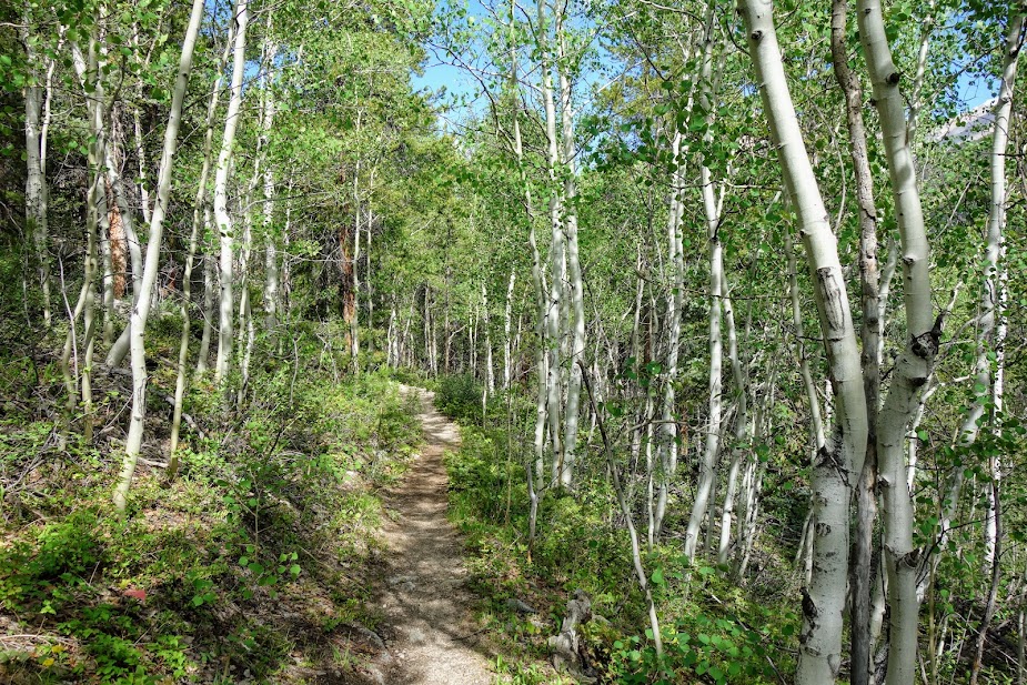
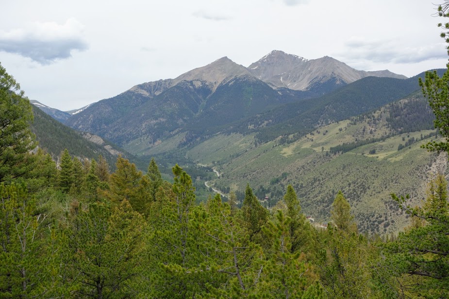
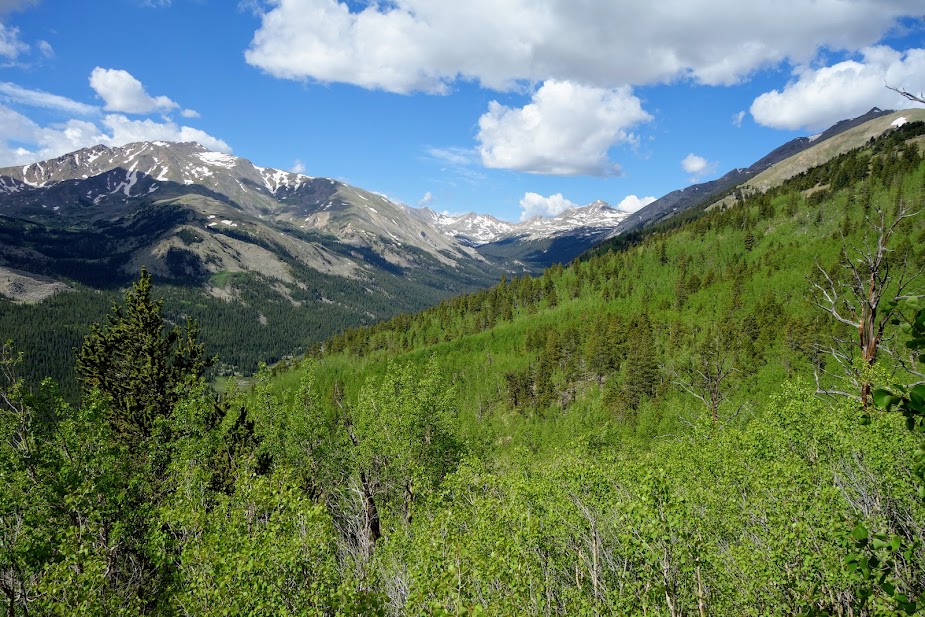
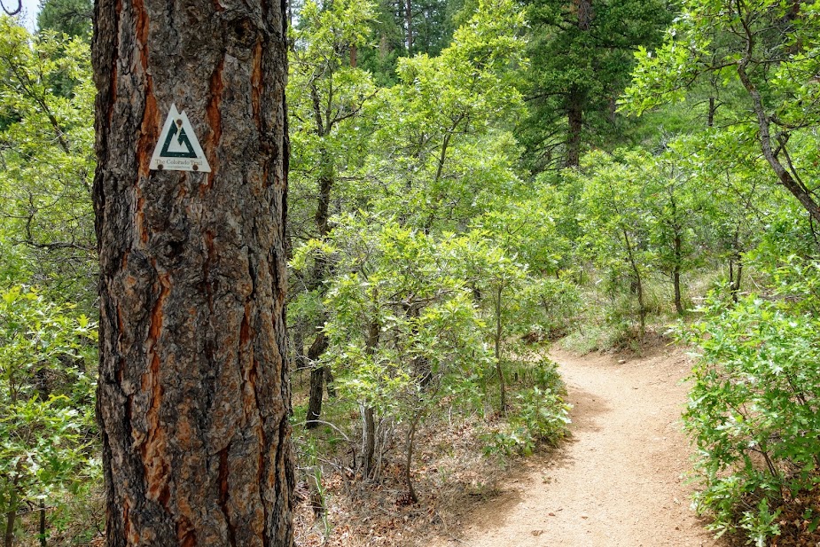
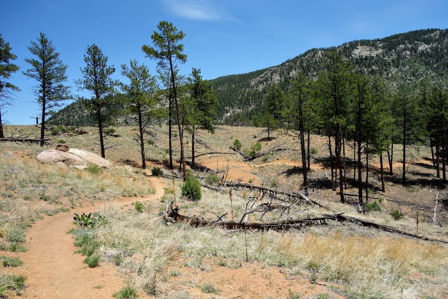
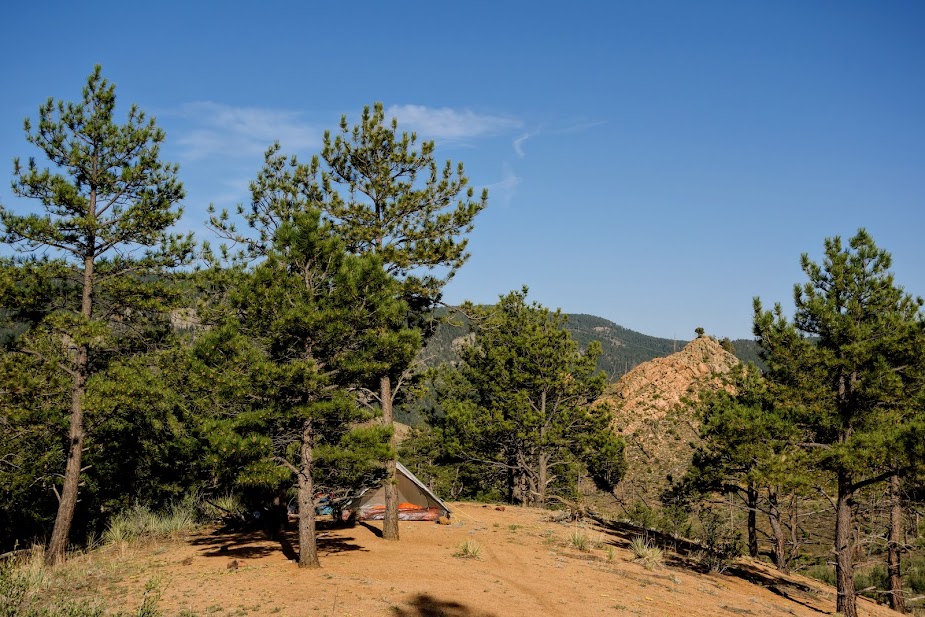
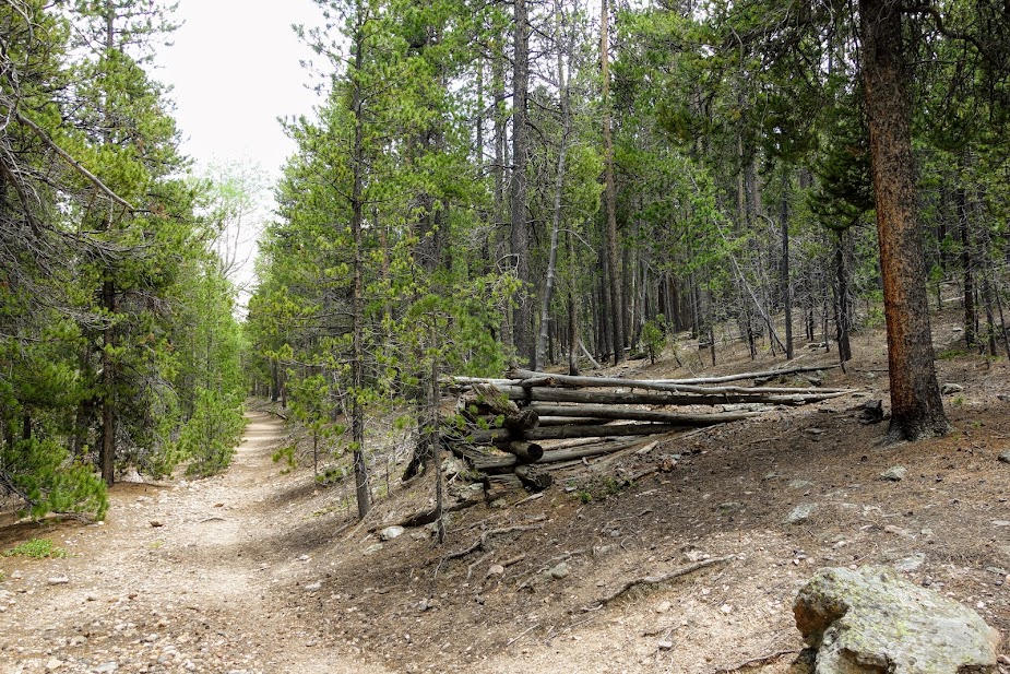
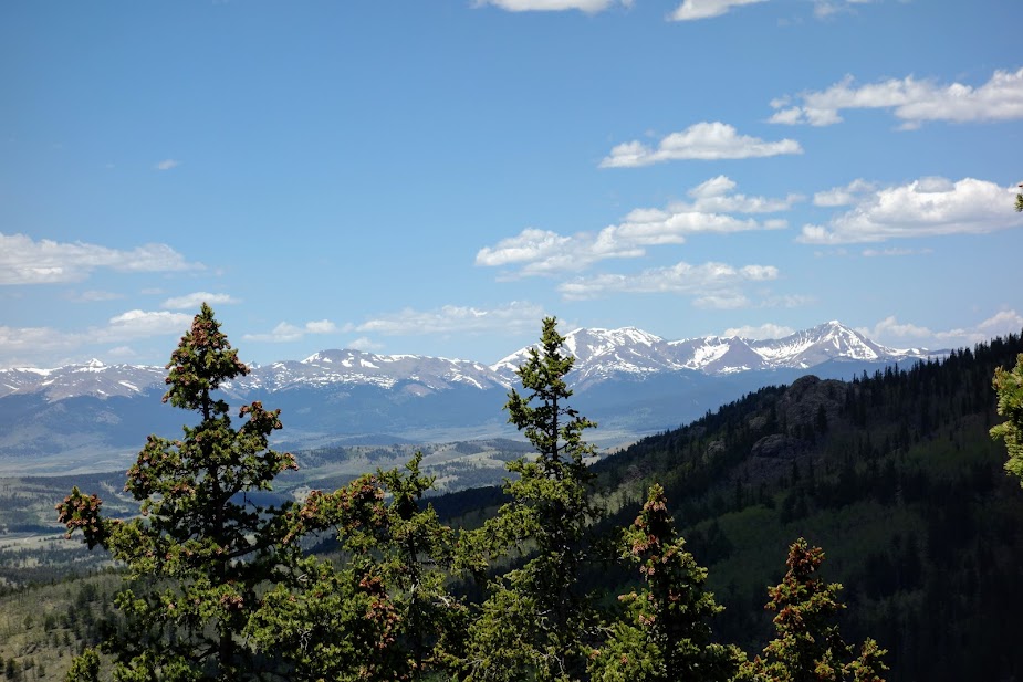
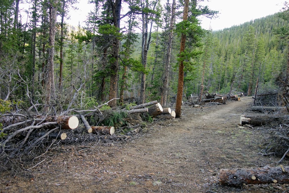
Notice the beautiful forest.

Within 30 minutes I found myself in a burned forest, the skeletal remains from a 2017 62,000-acre fire. I had become complacent with my planning, with so many weeks of clear skies, intermittent thunderstorms, and a wonderful lack of burned forests.

There were some areas with early signs of recovery, although it’d been 6 years. It’s a reminder of how long it takes forests to feel like forests again. I was grateful for the overcast skies, or the lack of trees that would make for a very hot hike.

By the time I arrived at Lower Carpp Lake, the smoky haze was evident. This shallow lake certainly didn’t invite camping or swimming.

Carpp Lake didn’t look any more inviting. I was irritated with myself for not adding the historical fire layer to my digital maps. I didn’t know whether to turn around or continue forward, hoping for improvement. At least the skies looked less smoky.

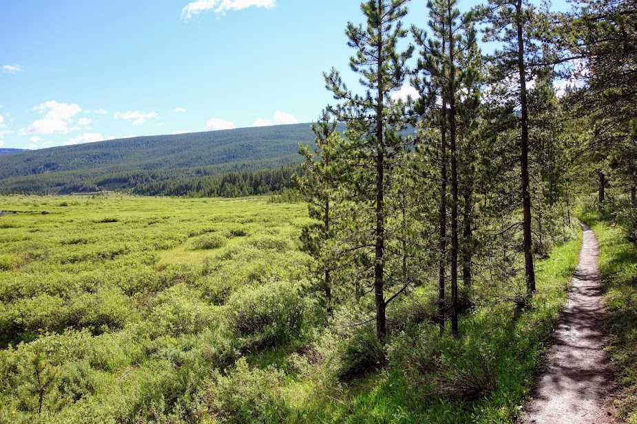
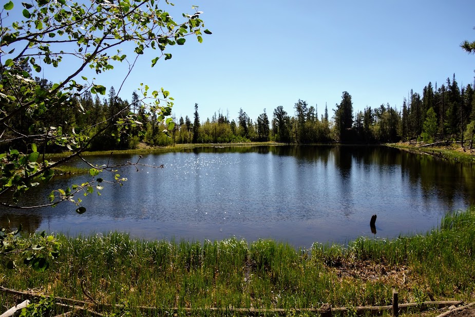
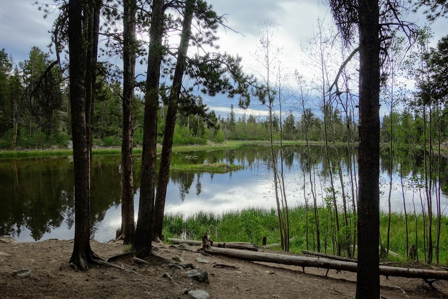
My next objective was Tamarack Lake, where I planned to have lunch and enjoy a swim. This is a pond just before the lake. I was feeling excited by the lack of burned trees.

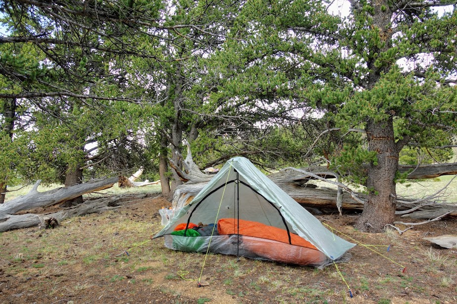
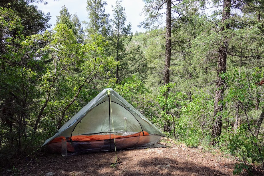
Tamarack Lake was lovely and although I arrived before noon, and had planned to camp at Edith Lake, after chatting with a couple who’d hiked to Edith the previous day and found it burned with no safe campsites, I decided to spend the day at Tamarack. That would also give me the opportunity to evaluate smoke conditions the next day and turn around if indicated.

When I departed the next morning, it was sprinkling which gave me optimism about the lack of smoky skies.

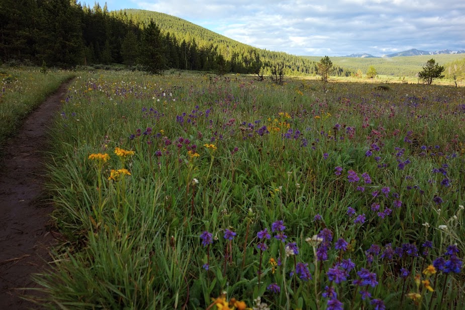
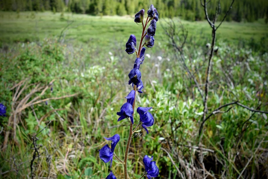
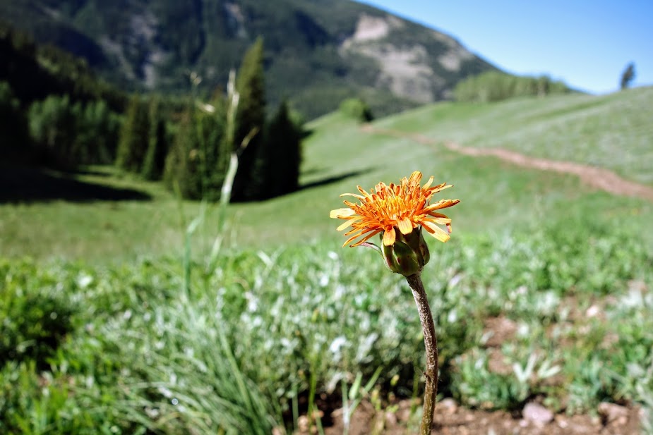
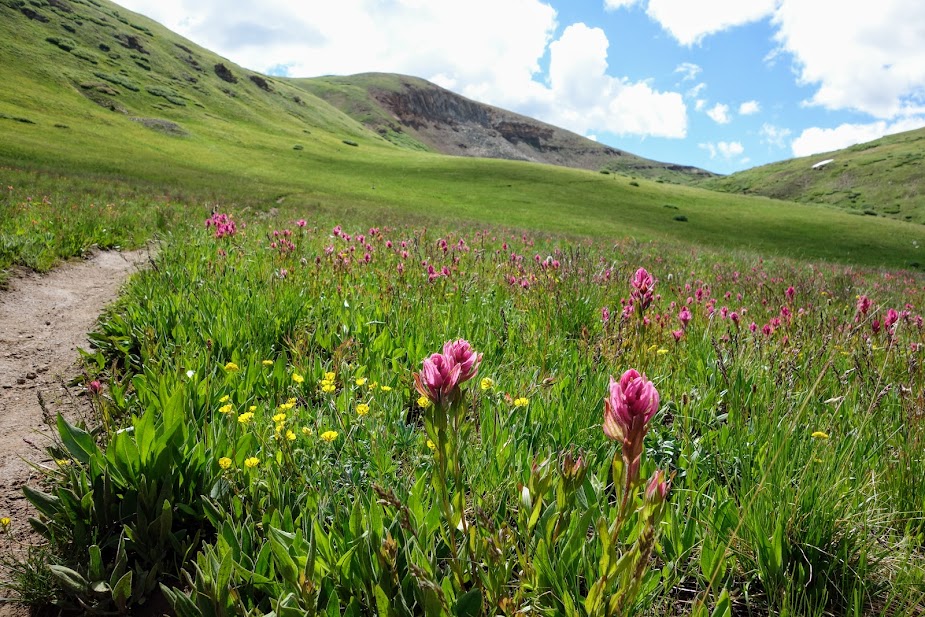
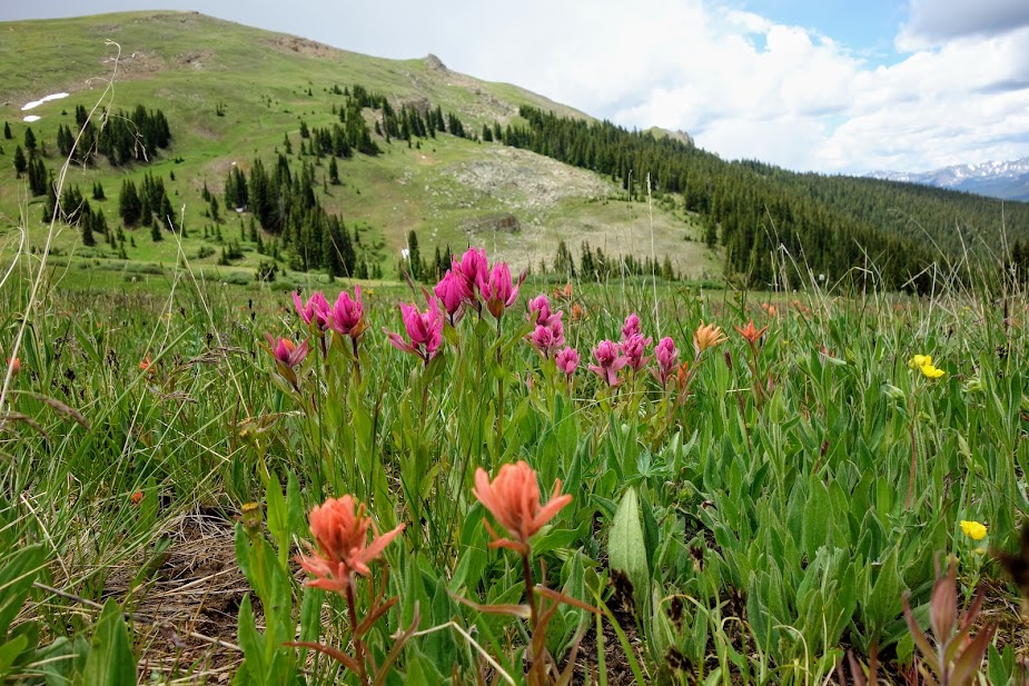
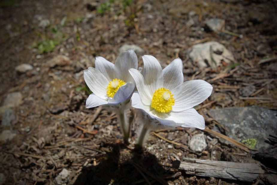
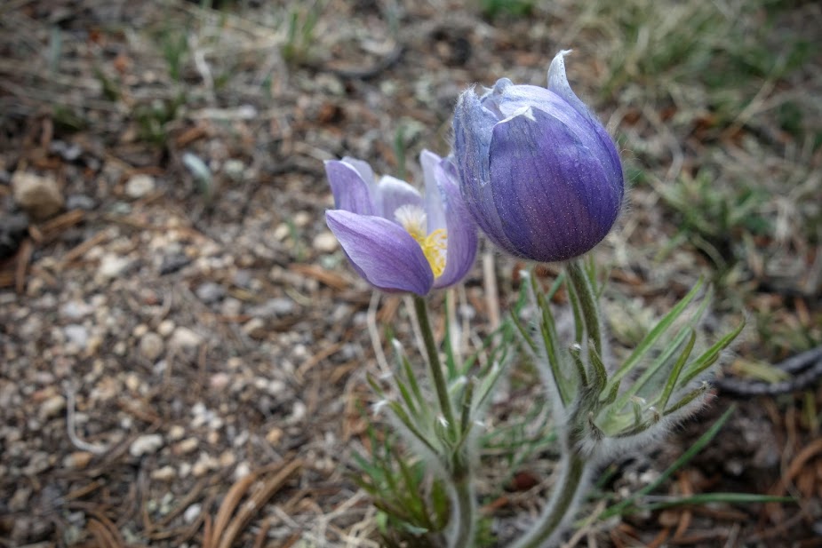
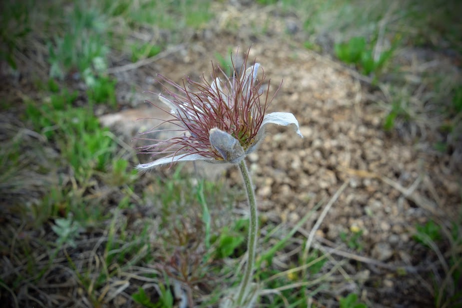
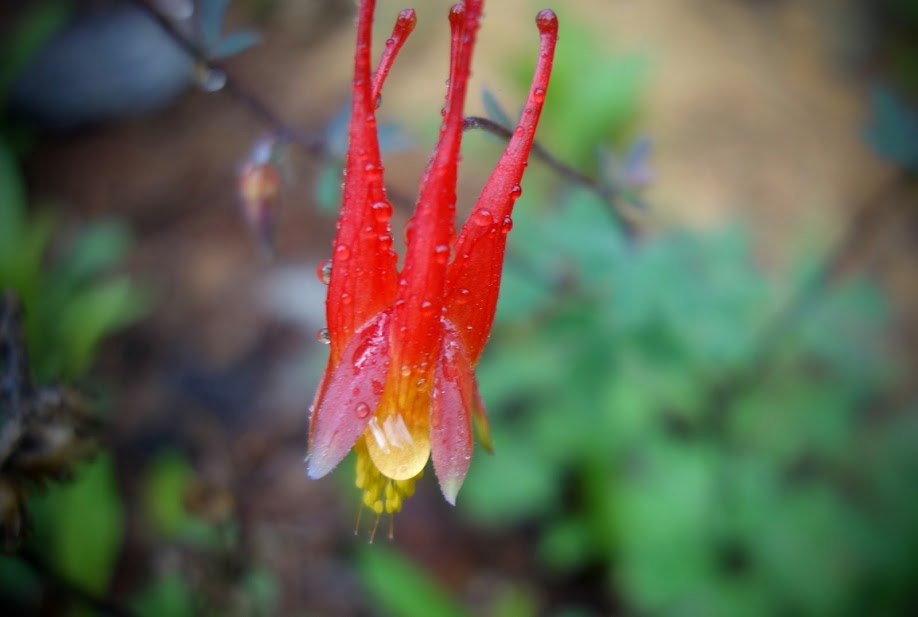
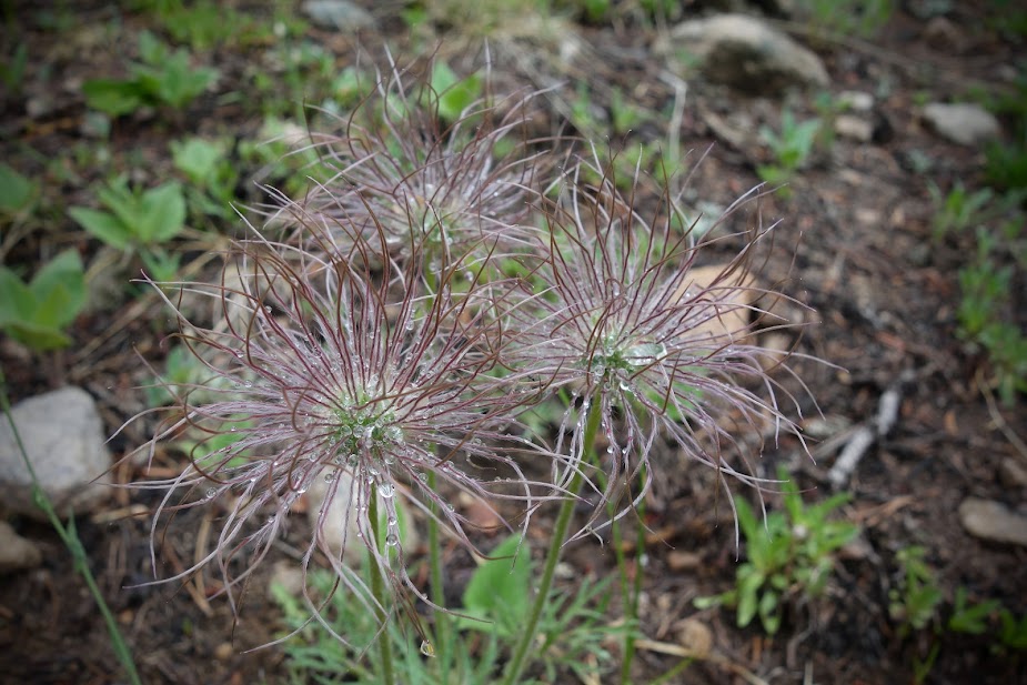
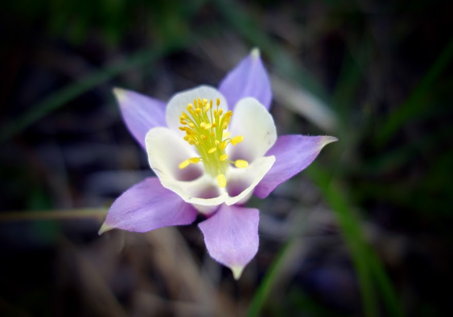
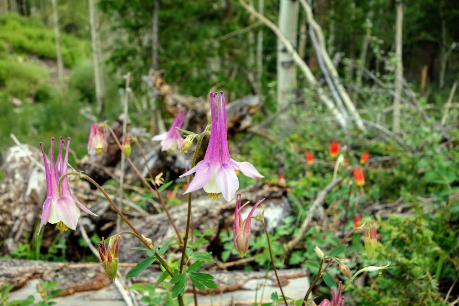
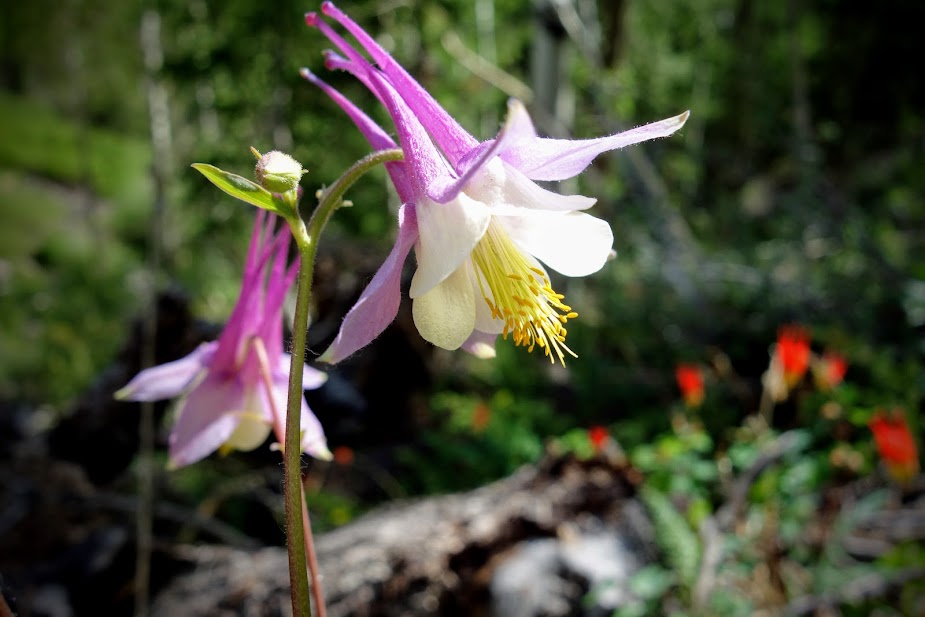
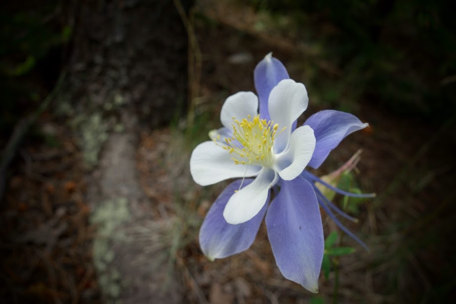
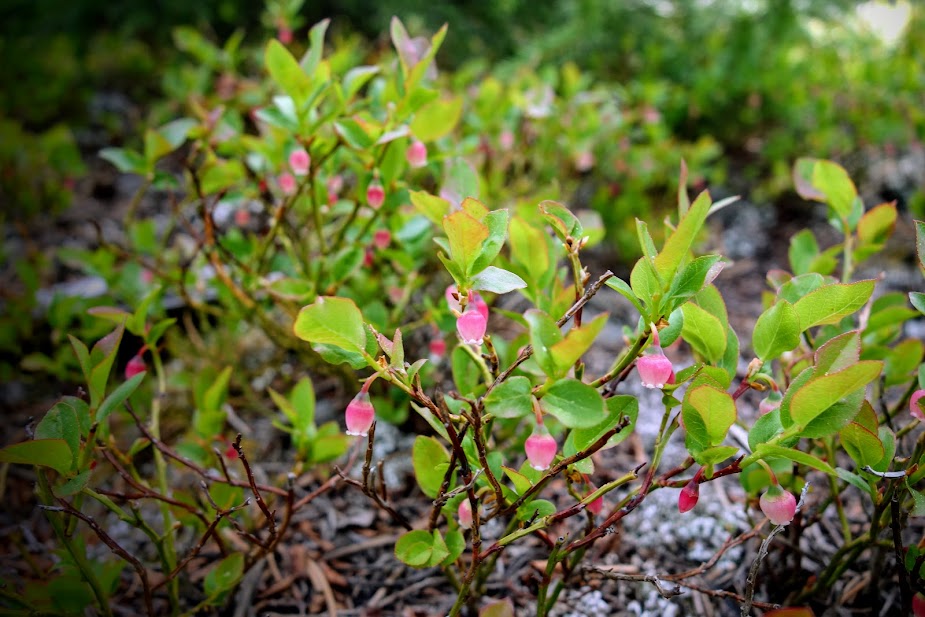
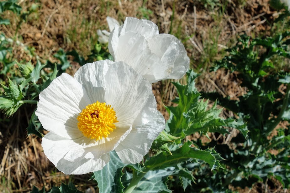
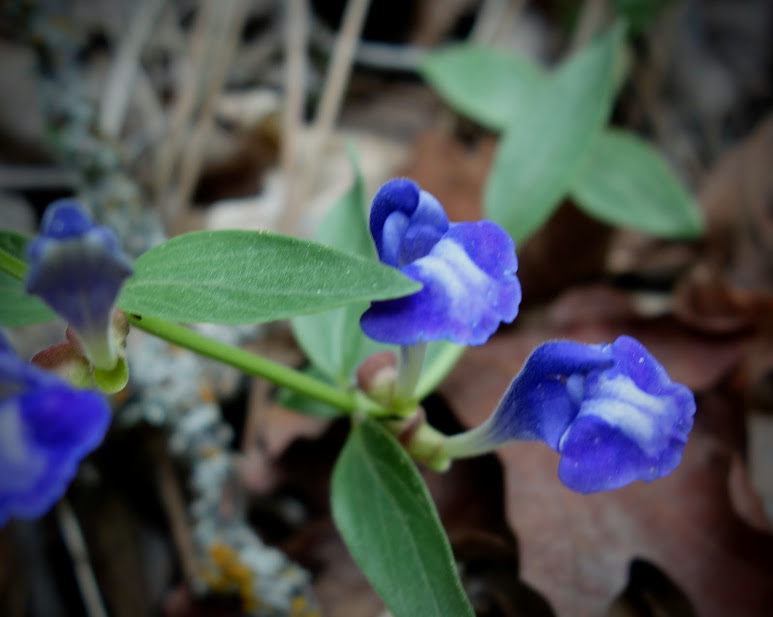
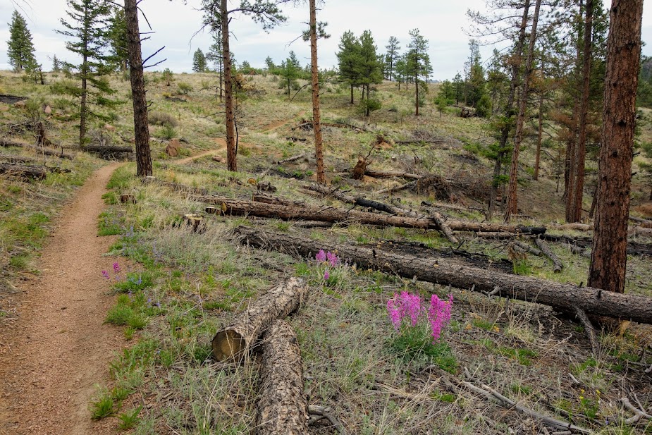
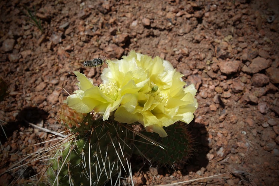
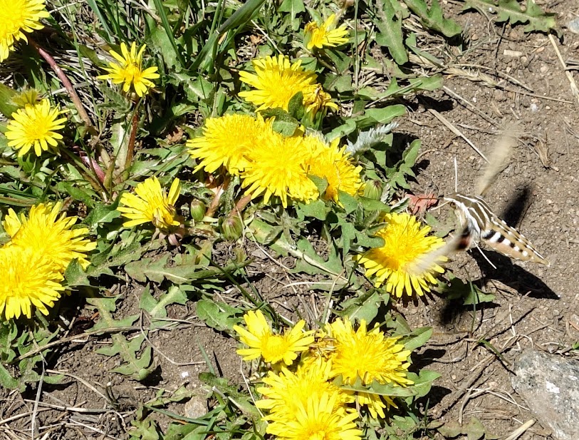
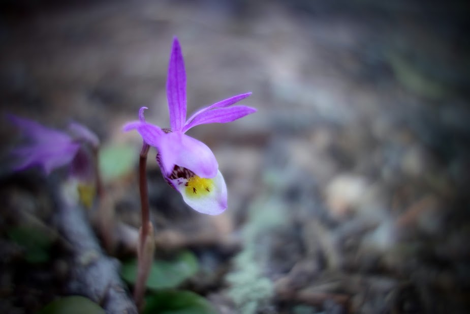
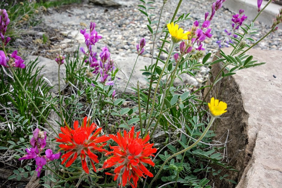
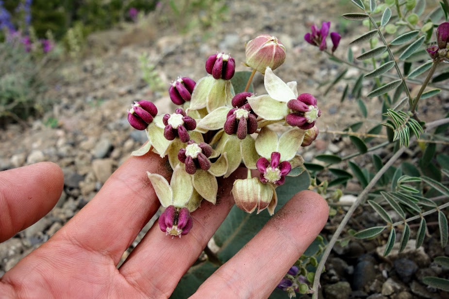
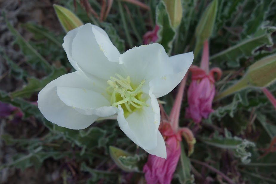
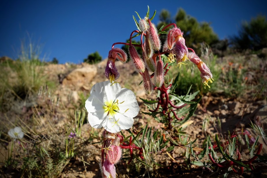
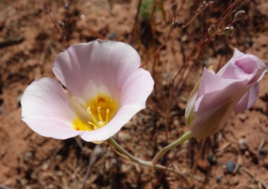
At least there were a few places with flowers to distract from the burn.

But then I was back on the HiLine Trail. The dead trees sure were a joy zapper.

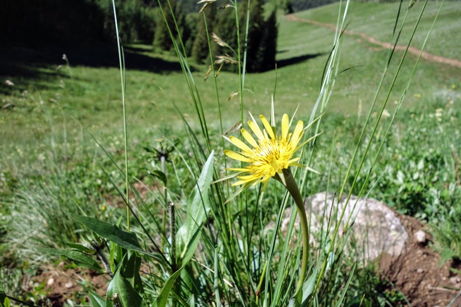
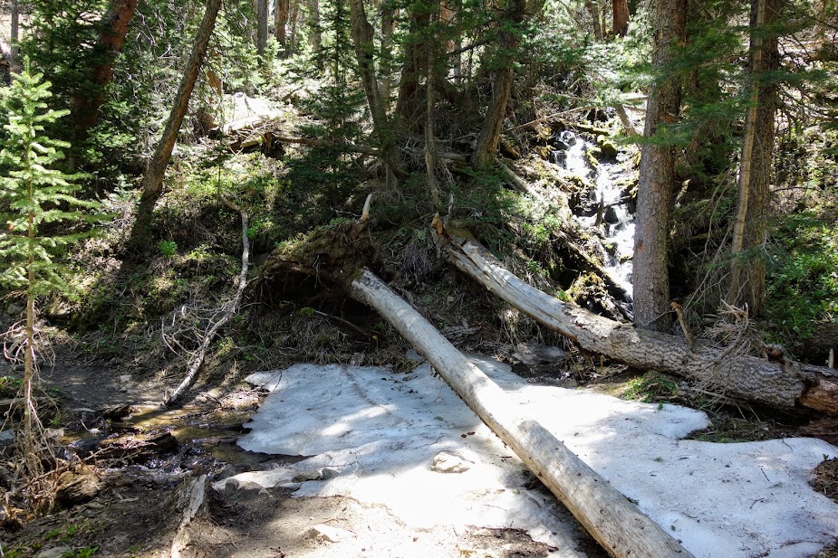
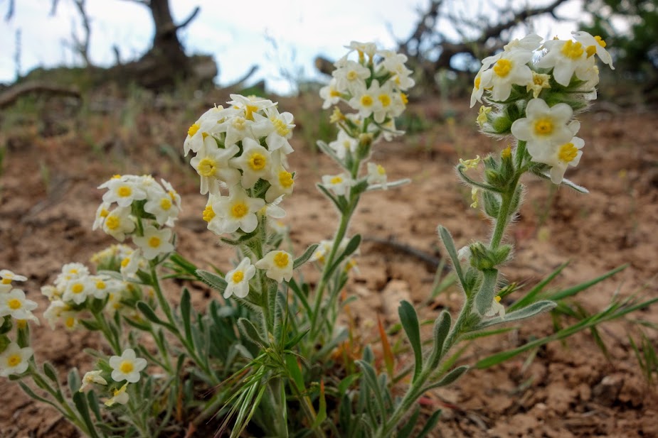
Occasionally there were small areas that escaped the burn and gave me hope.

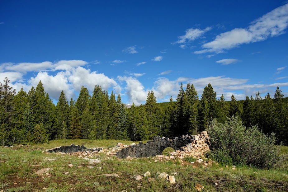
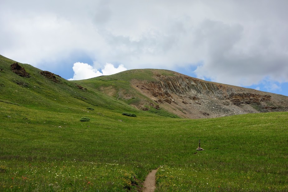
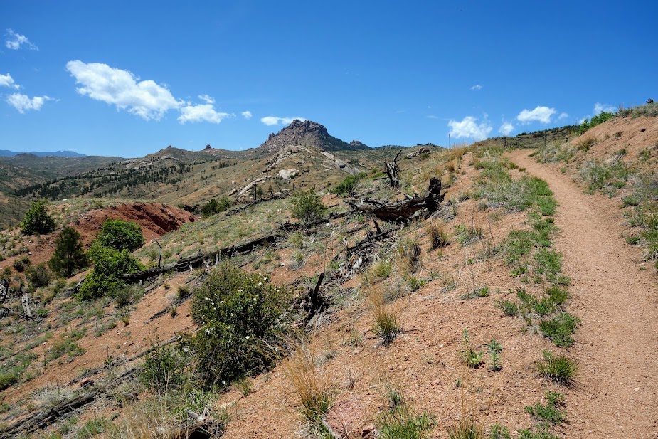
This was an interesting area geologically.

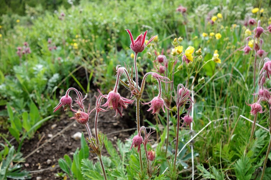
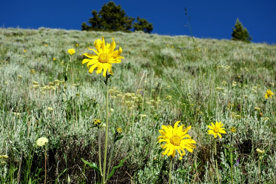
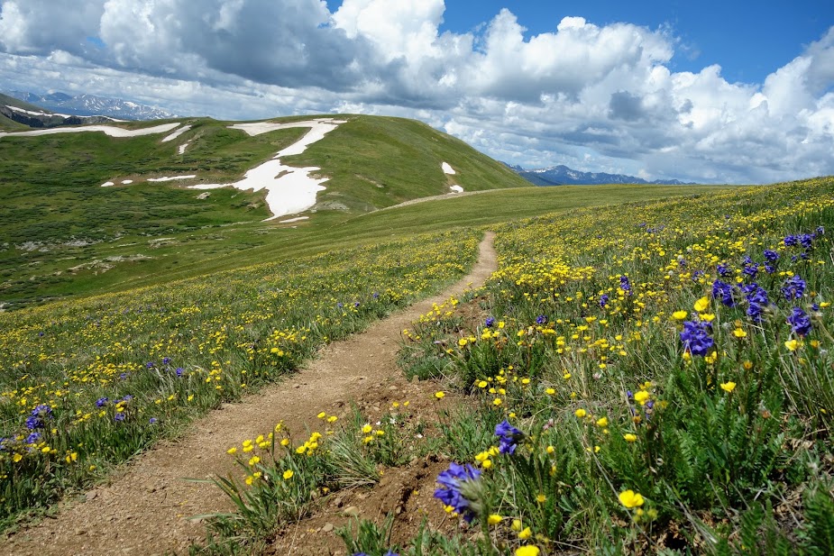
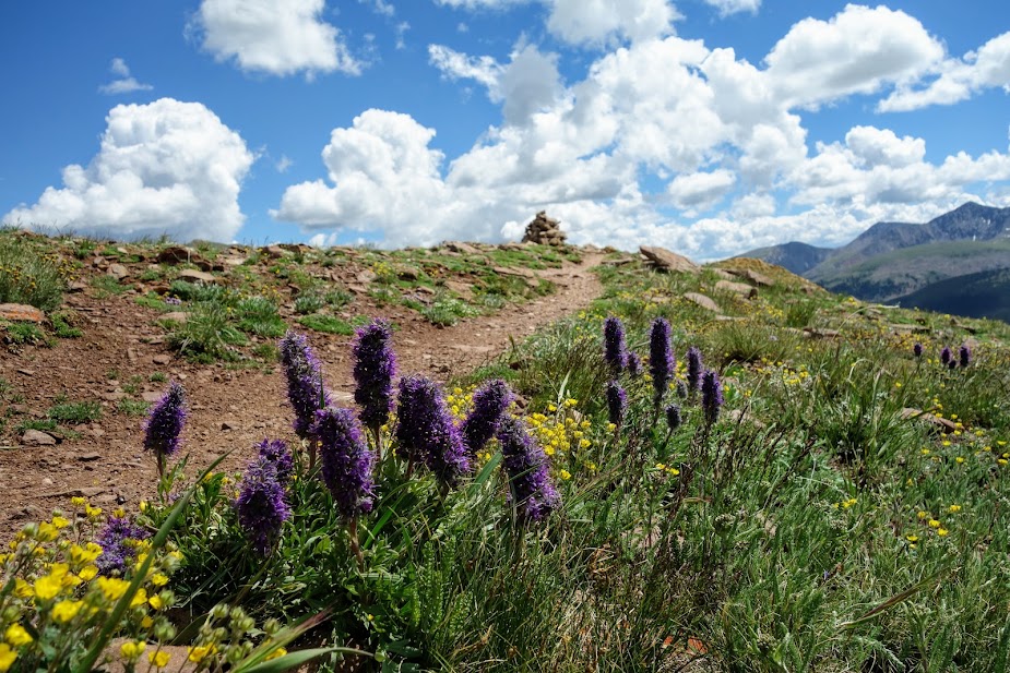
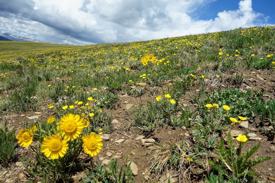
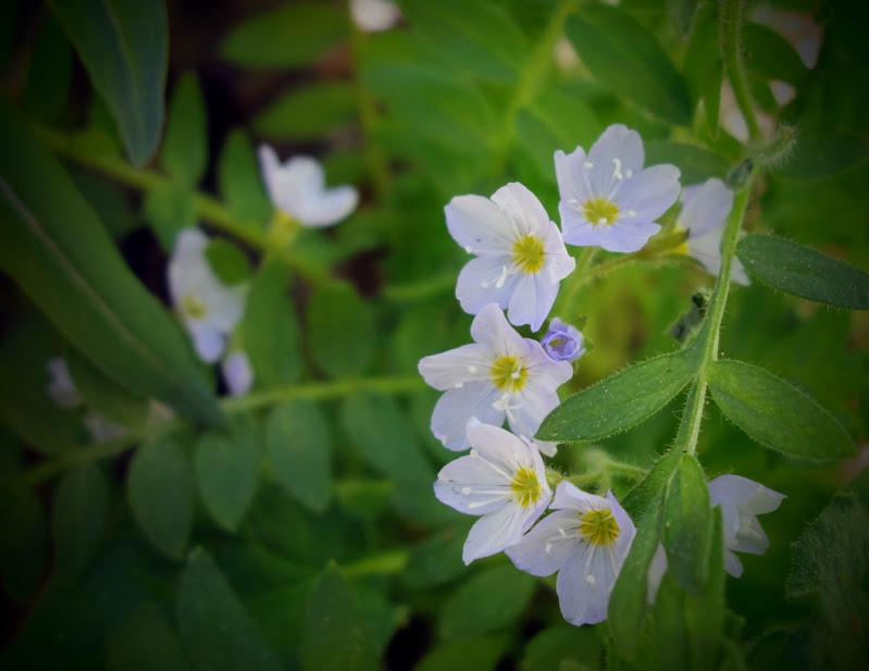
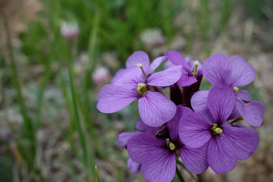
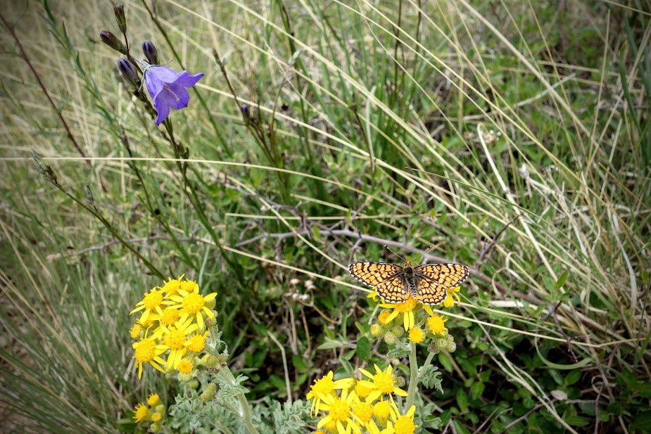
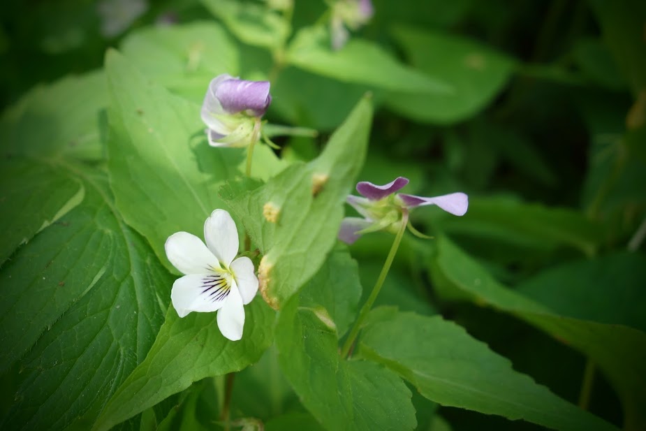
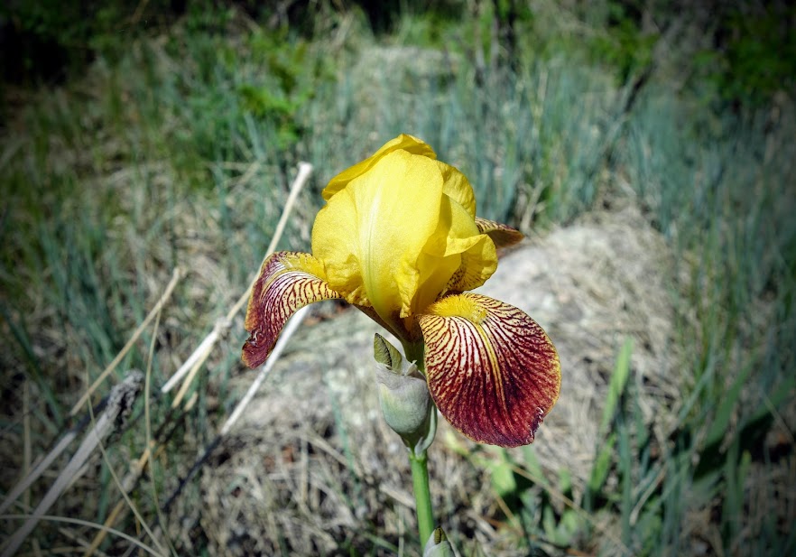
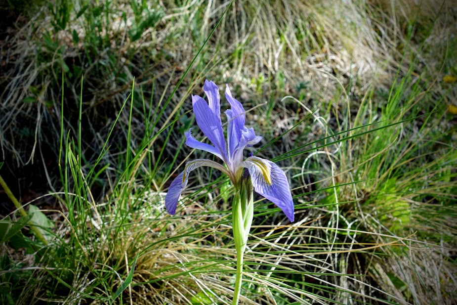
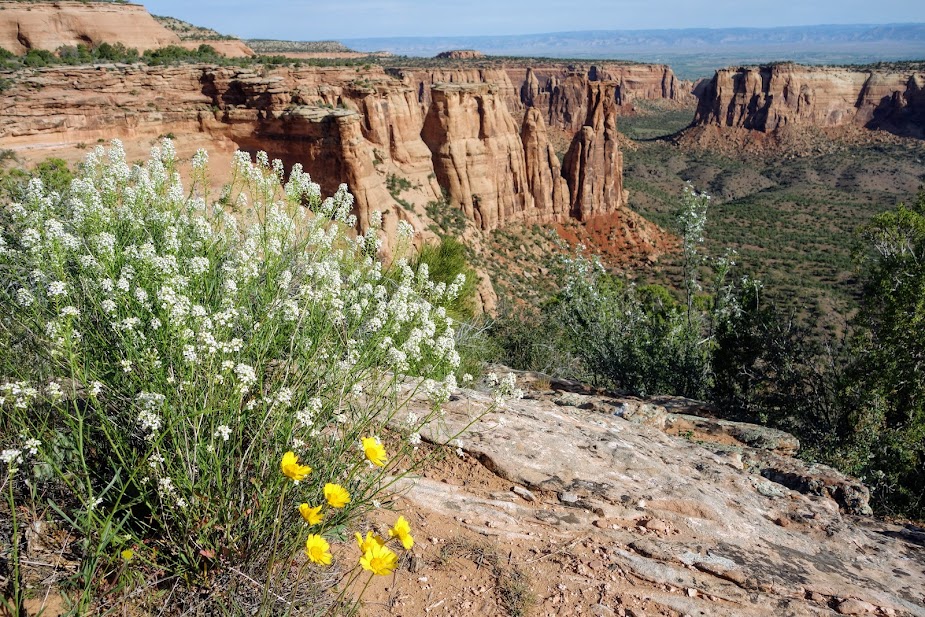
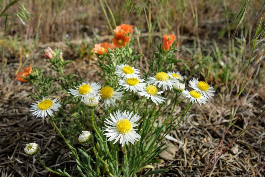
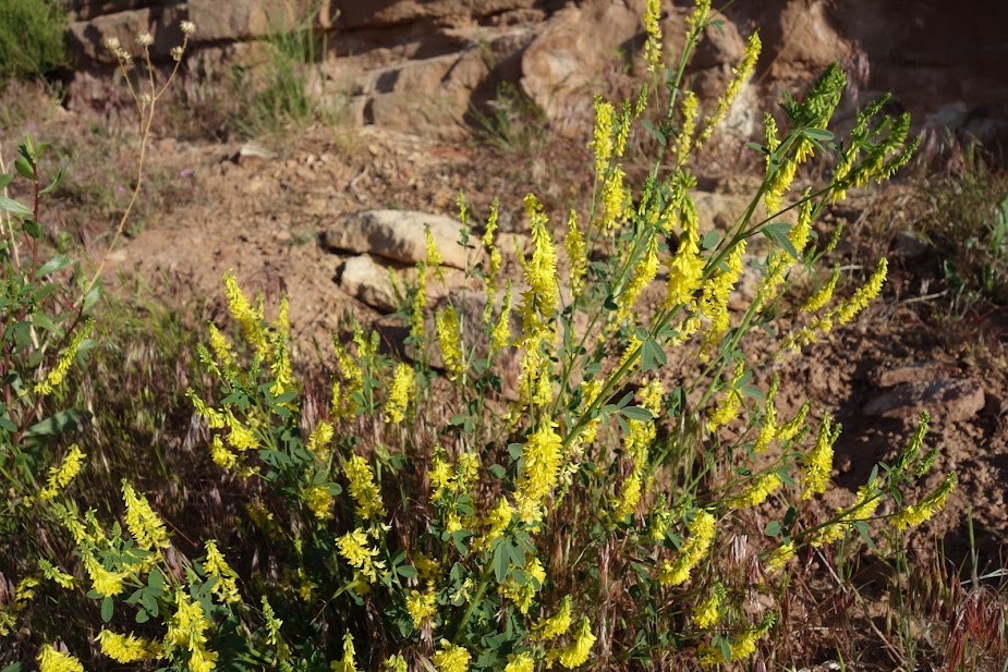
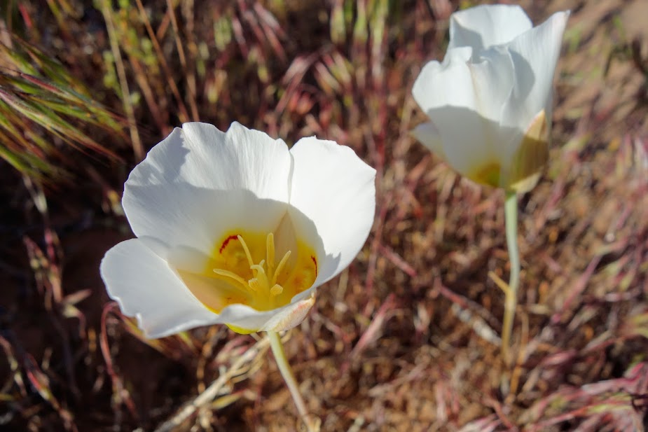
Once again the blooms provided tiny happy moments.

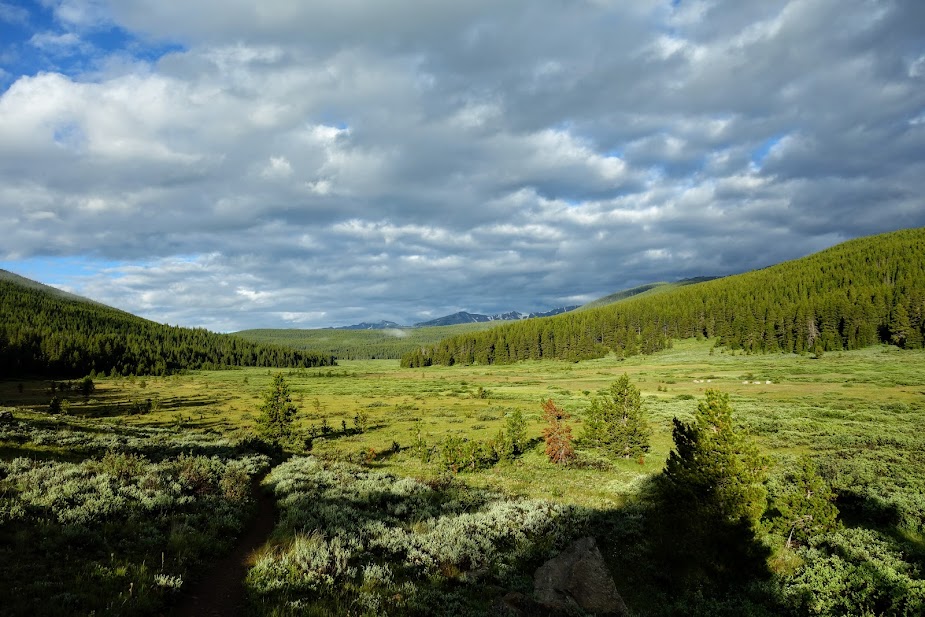
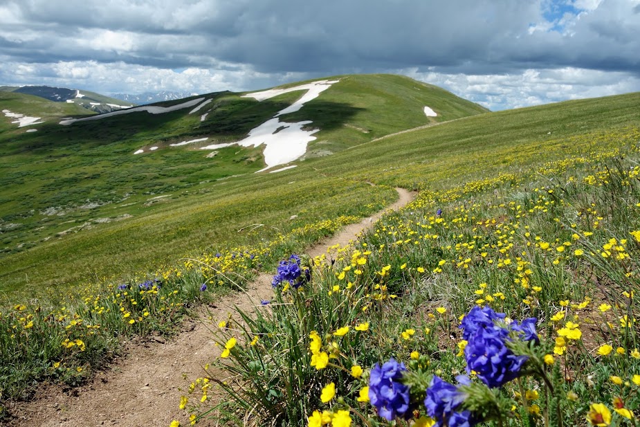
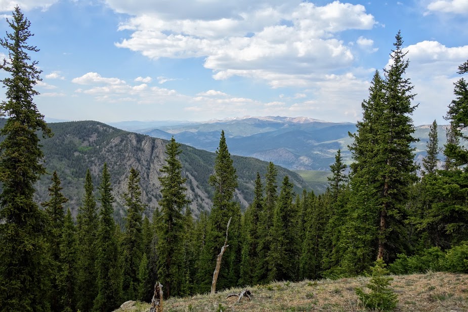
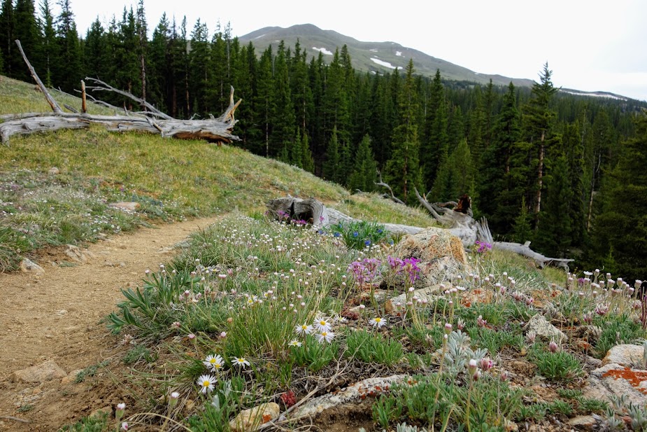
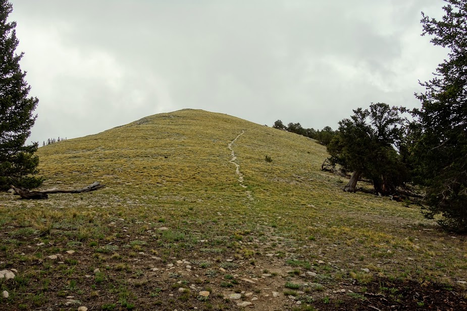
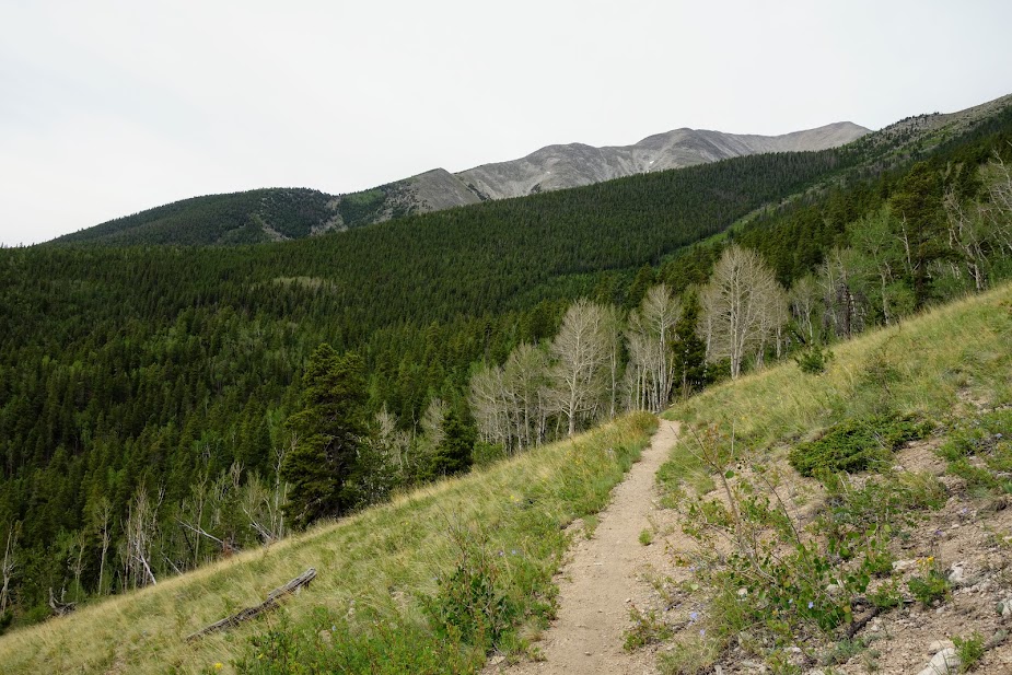
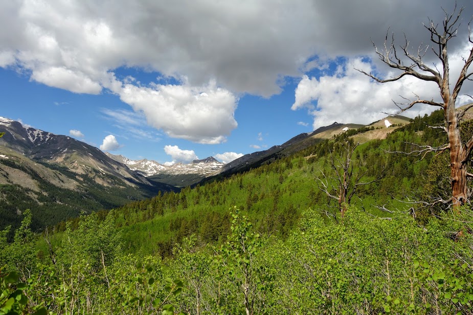
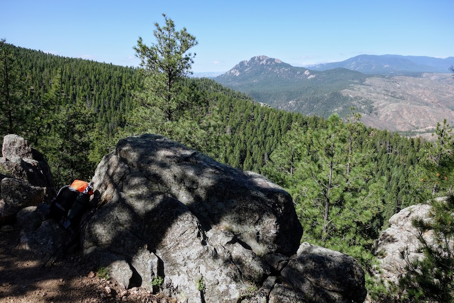
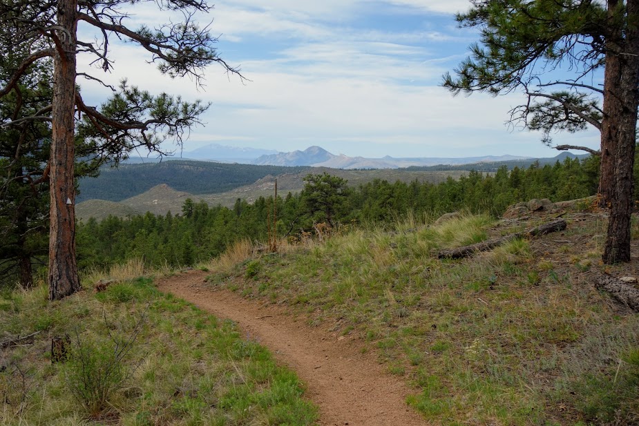
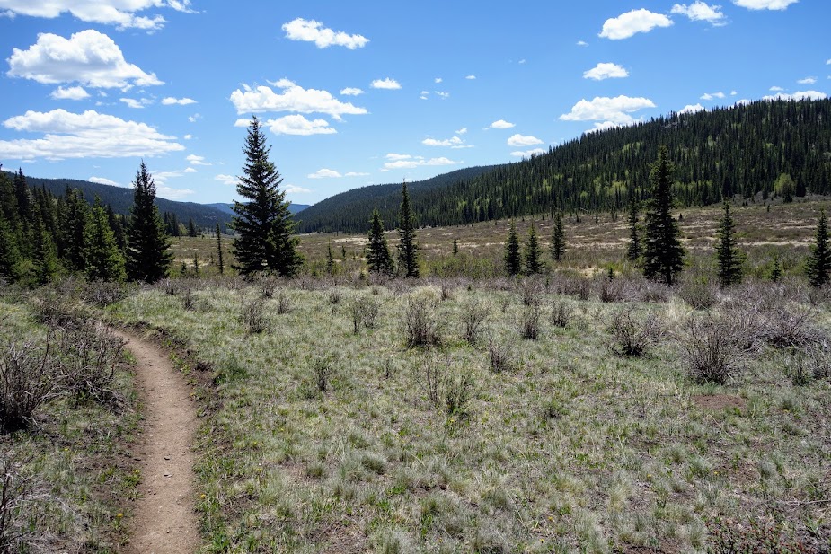
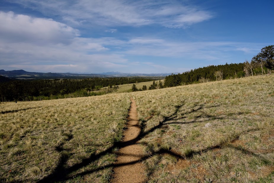
It was nice to gain some elevation so I could see some views.

The burned forest was in general extremely quiet lending to the feeling of creepy; however, there were a couple woodpeckers that broke the silence.

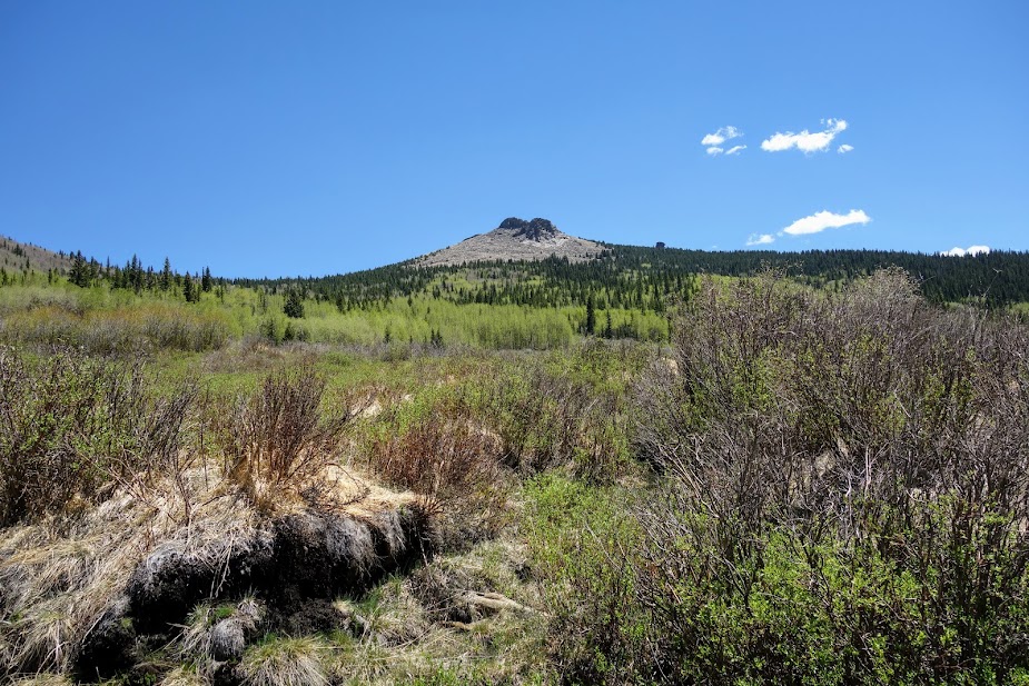
Johnson Lake was about 50% burned, but offered hope for the remaining sections of my loop.

The rain was intermittent as I hiked around Johnson Lake.

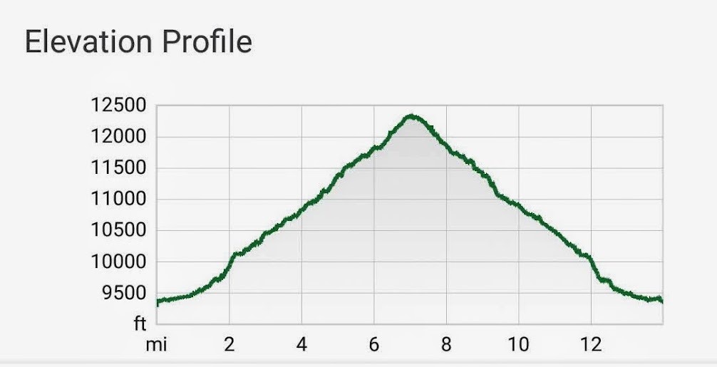
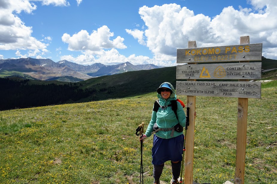
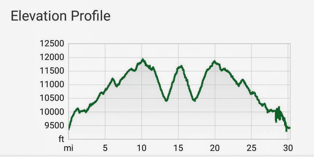
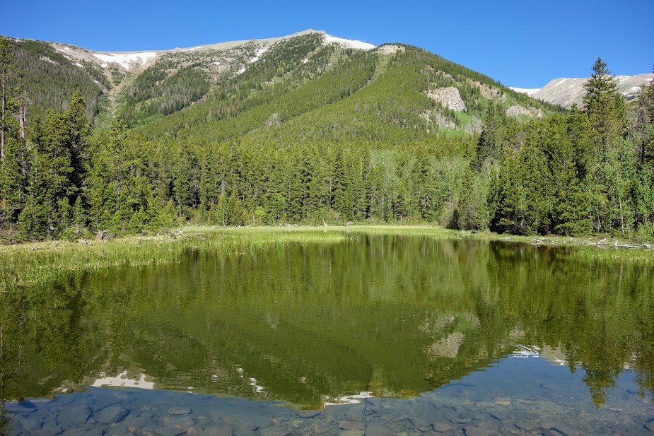
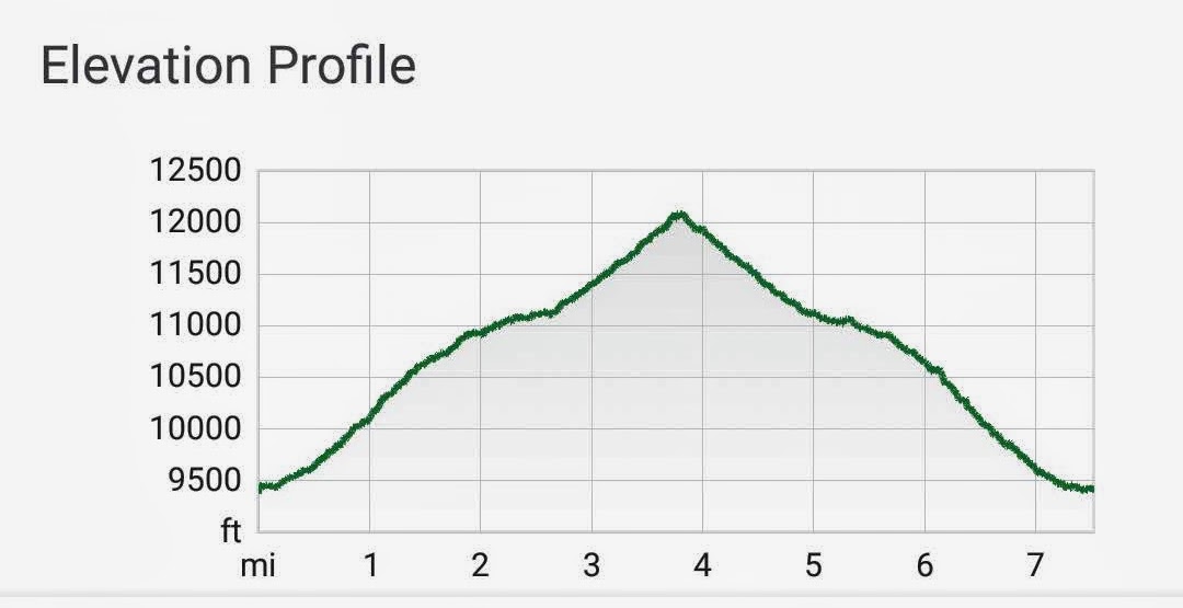
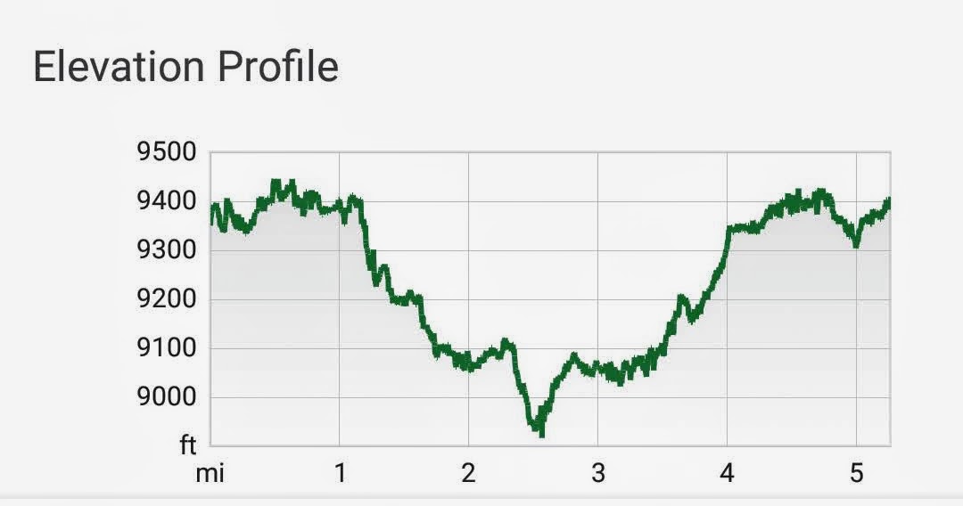
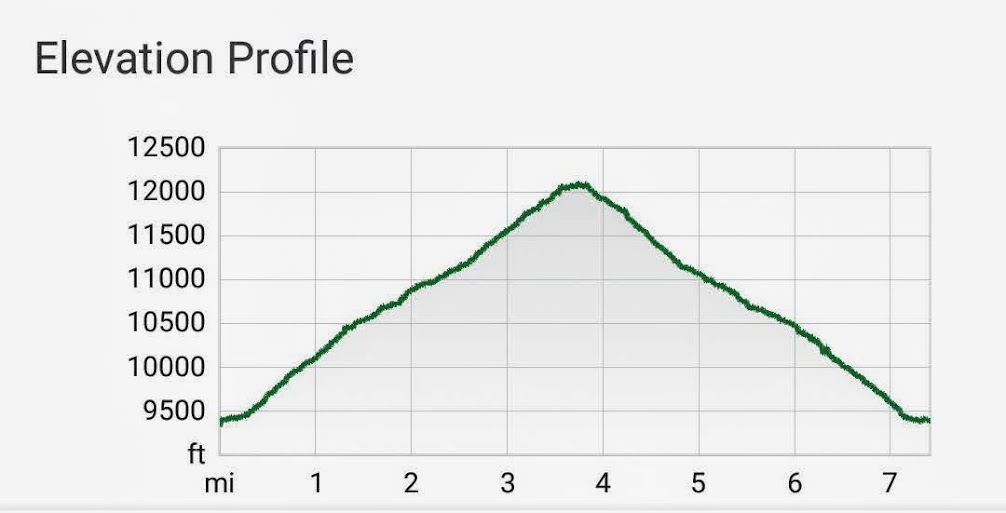
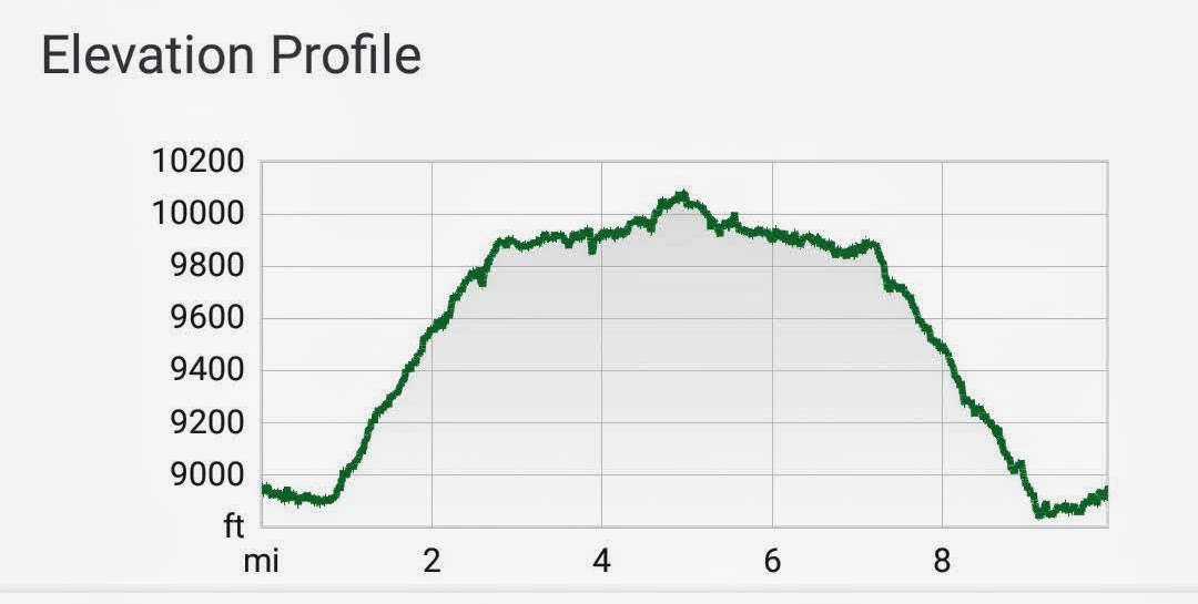
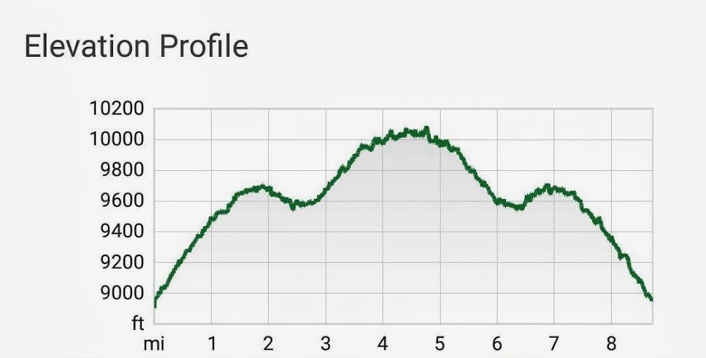
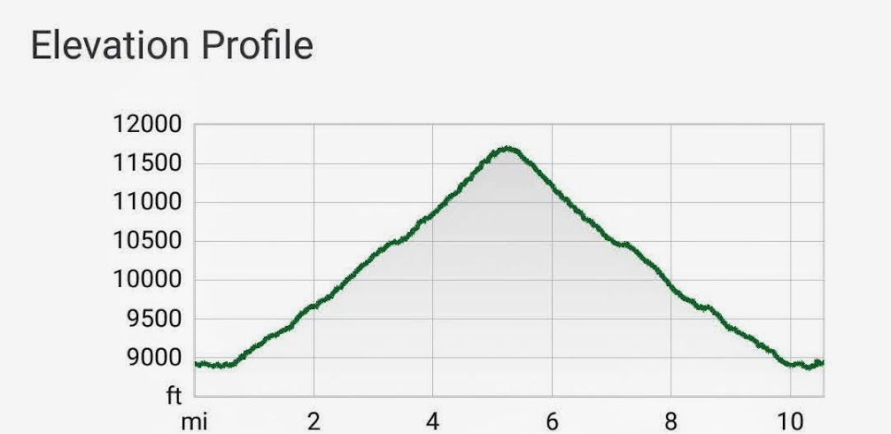
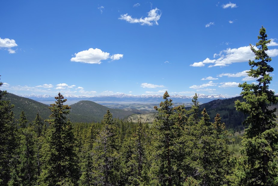
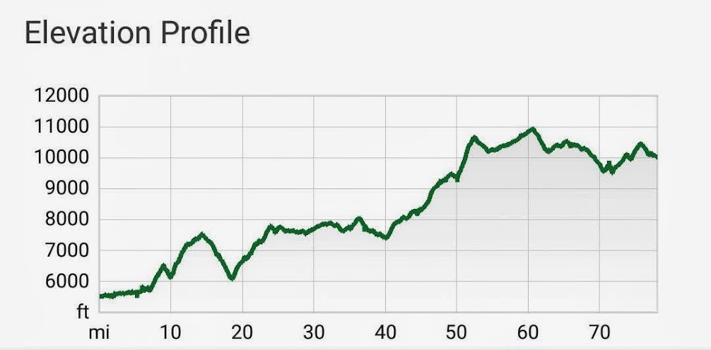
I left the HiLine Trail after 14.5 miles and 2,500′ elevation gain, 1,900′ loss. I had planned on a detour to Pintler Pass but was running short of time and energy. My next objective was Rainbow Pass in 2 miles with a 1,400′ ascent. I was thrilled to find myself in a healthy forest where I could look back at Johnson Lake.

Looking back at Johnson Lake, and off-trail Martin Lake.

I don’t know why but the ascent to Rainbow Pass was super hard for me. It was a struggle even though it was nicely switchbacked.

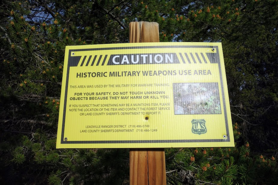
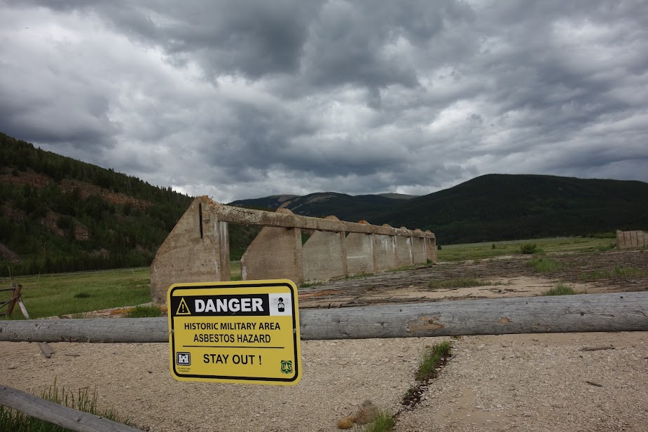
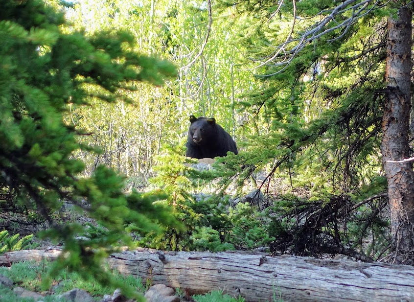
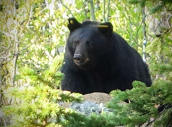
This notification came in a few weeks later. Given my level of exhaustion, I would have let those bears eat me.

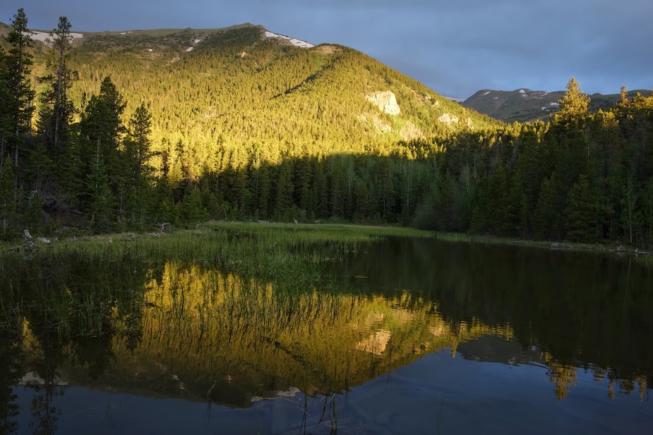
Rainbow Lake was calling my name for the night.

The hillsides were covered with flowers but it was raining so I didn’t stop to take many photos.

It was a rainy night at Rainbow Lake.

I wasn’t having much fun with rain, rain and more rain. I’m a fair-weather backpacker and hiker. But oh well I still had a couple of days to complete the loop.

I was hoping for a rain break at Warren Lake but it wasn’t happening this day.

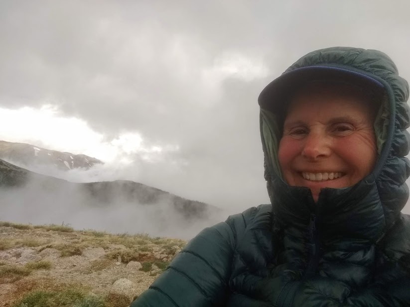
What a welcome party!

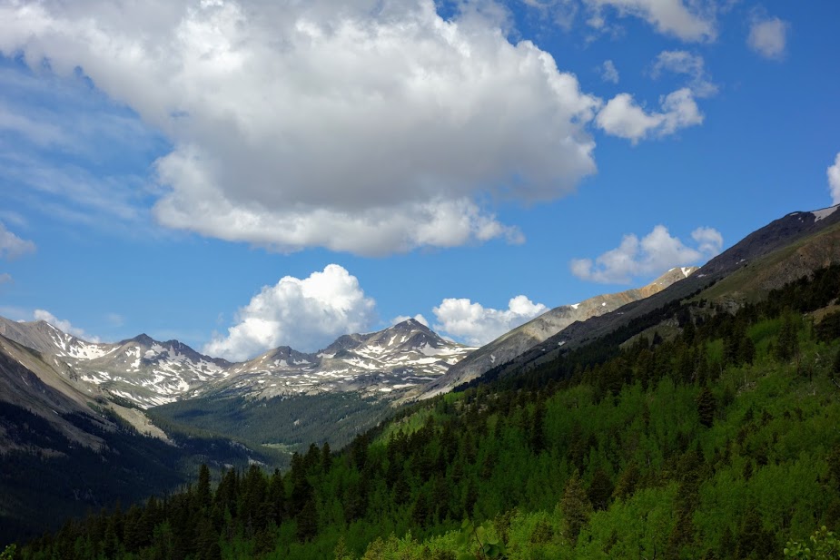
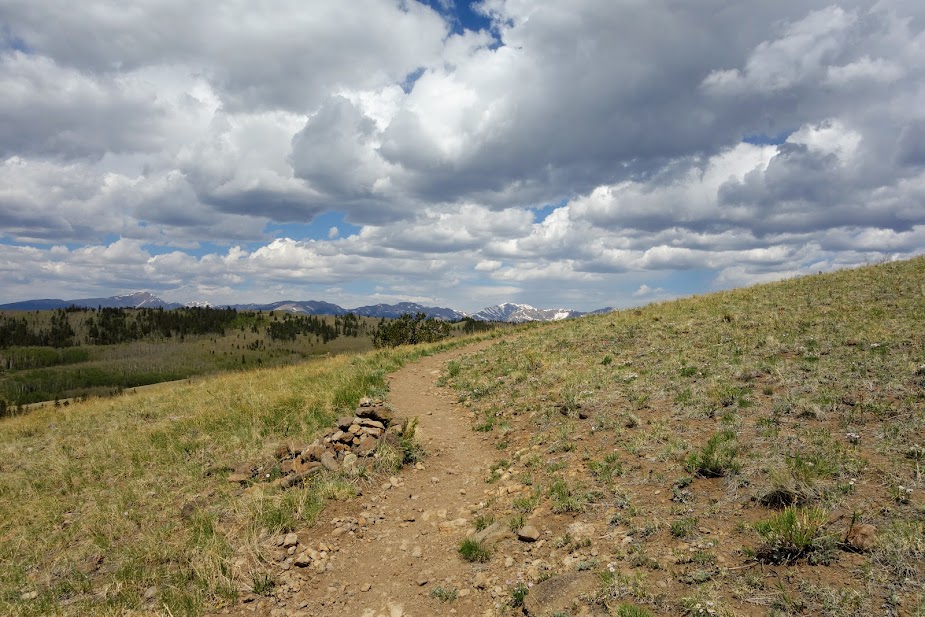
It definitely wasn’t a day for views.

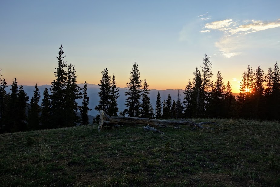
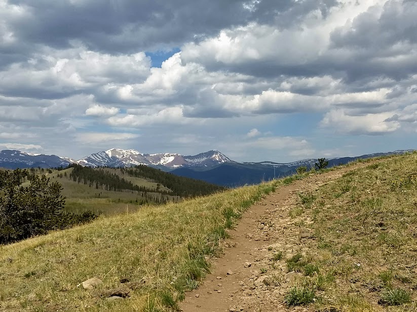
Blue sky finally appeared in the late afternoon, and I was hopeful for improved weather on my last day.

FINALLY on my fourth day I awoke to blue sky.

This was my ridge walk day, so I was beyond thrilled to have blue skies and calm winds. The trail would lead me up to the ridge on Beaverhead Mountain.

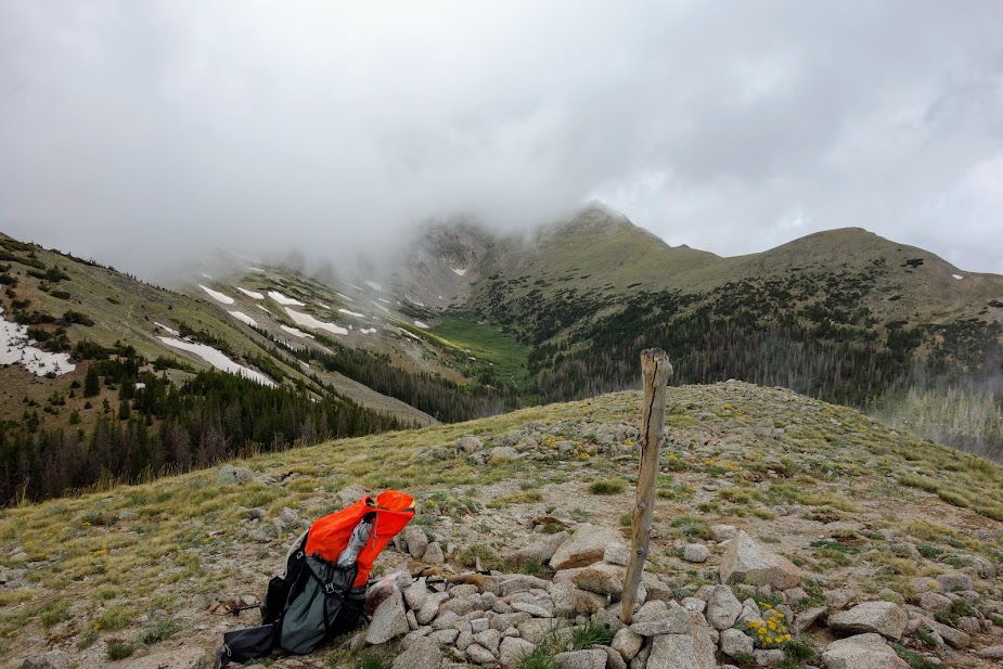
By 8:30am I was at Cutaway Pass, all too familiar from hiking up from the other side a few days earlier. Notice the clouds. I used the Guthook/FarOut Out to find a campsite not too far below the pass.

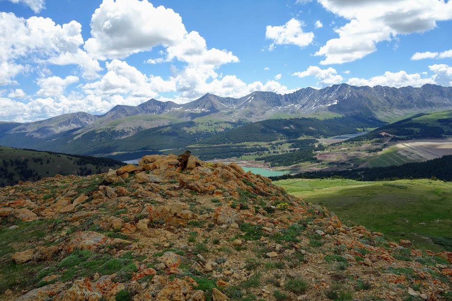
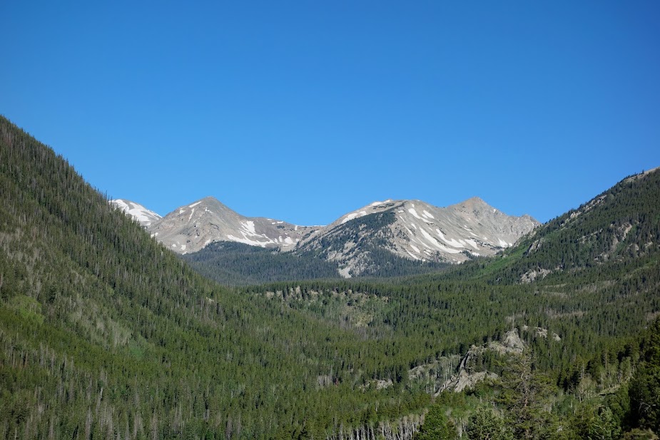
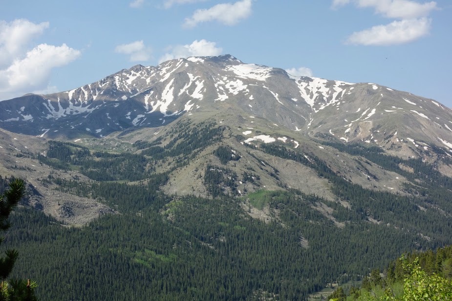
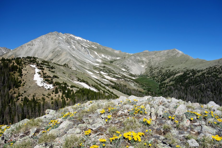
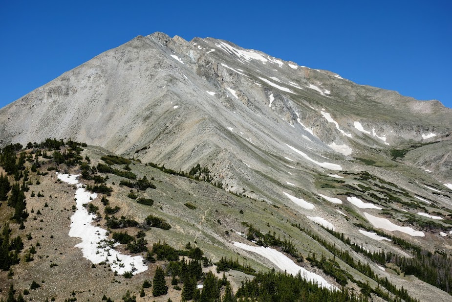
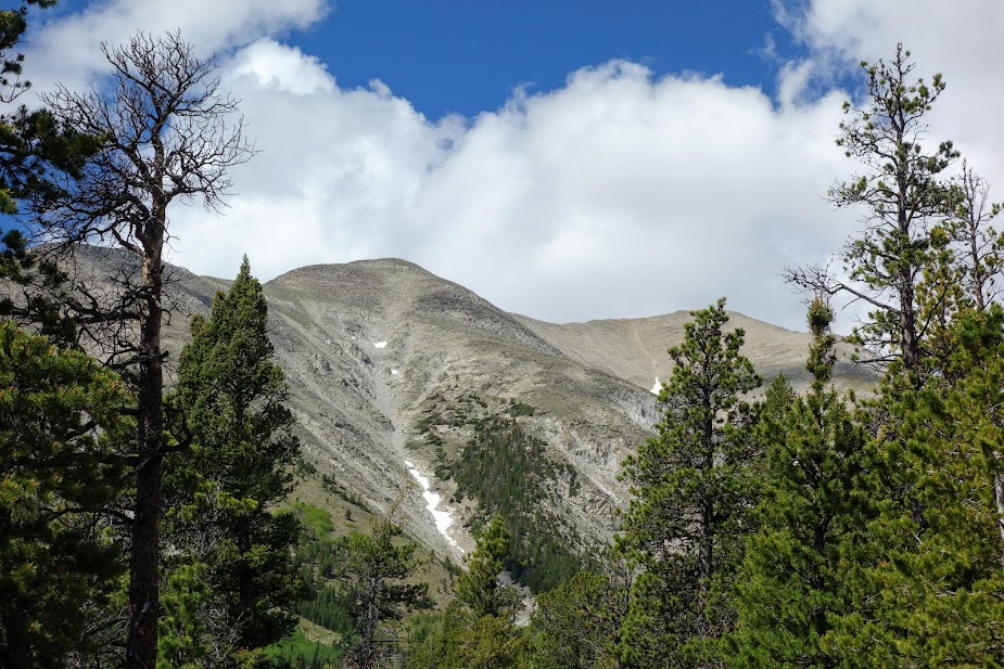
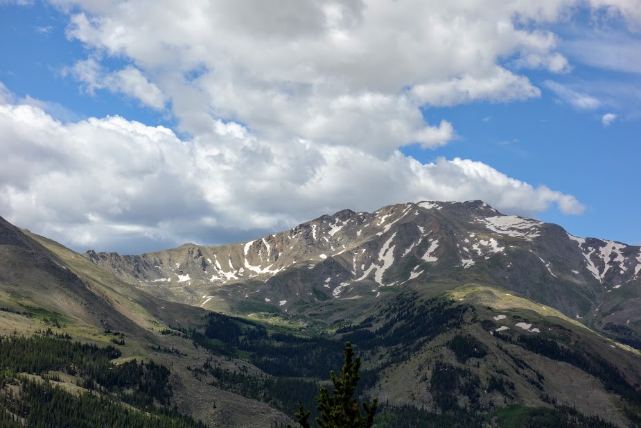
Warren Peak is one of the taller mountains in the Anaconda Mountains at 10,463′.

Beaverhead Mountain shares space with Warren Peak from this viewpoint at Cutaway Pass.

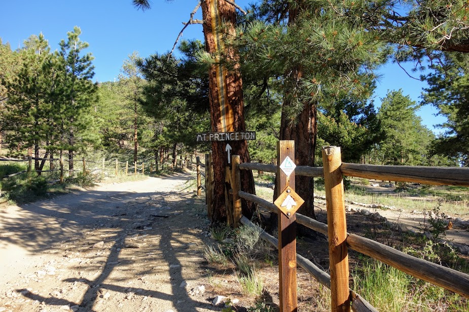
I departed the CDT for the HiLine Trail. This section was built by the CCC according to a ranger I met in Philipsburg.

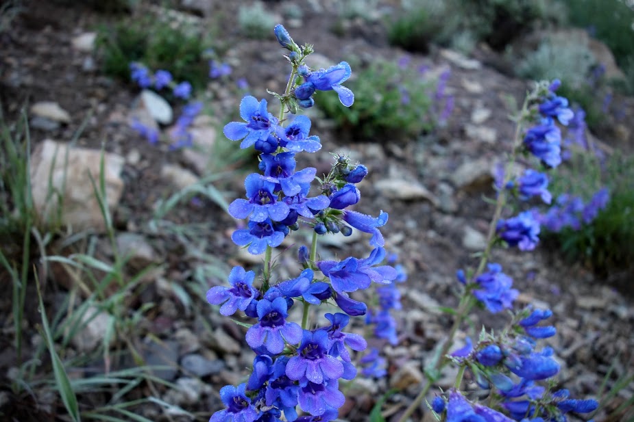
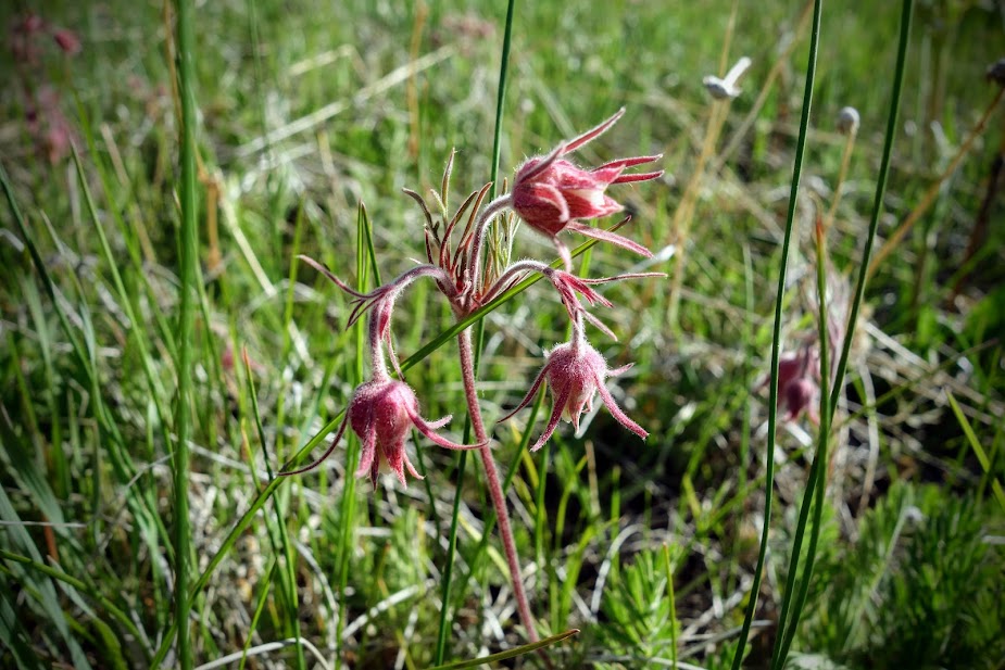
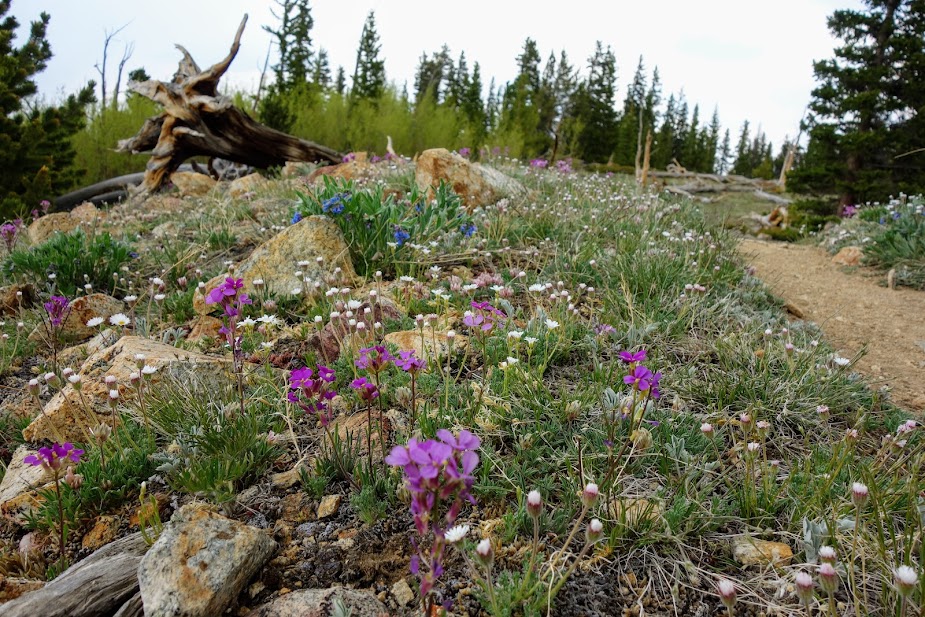
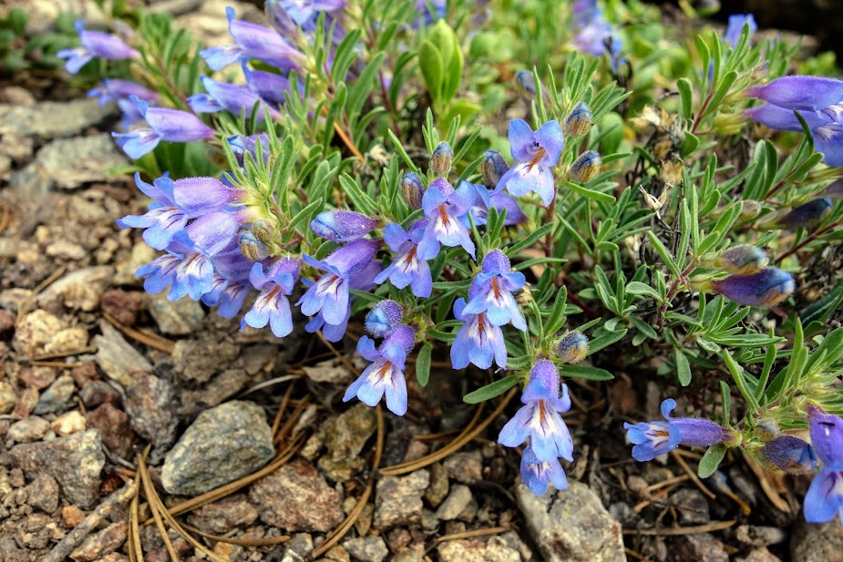
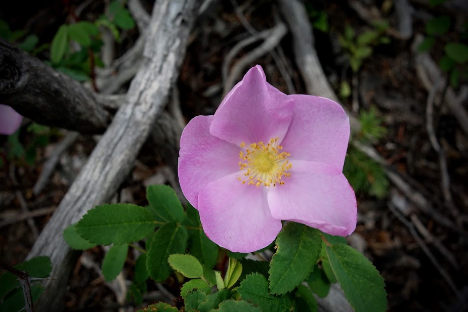
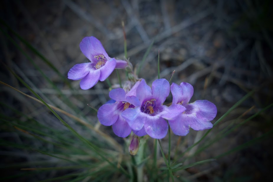
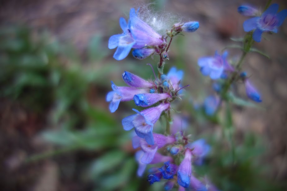
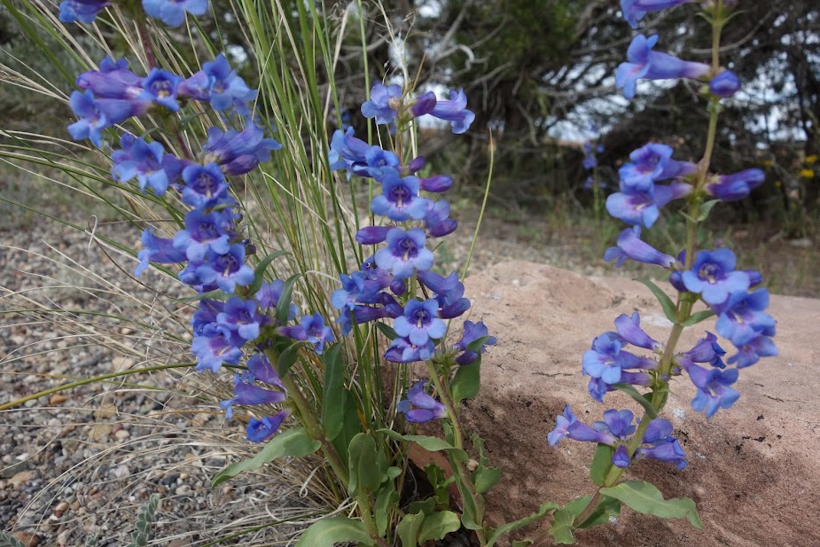
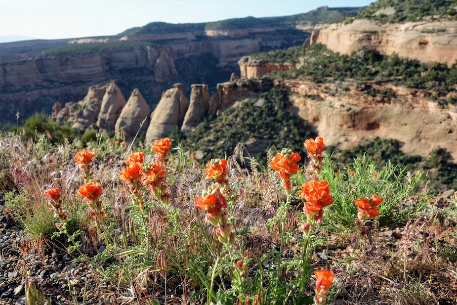
Evidence of rain from the previous night dotted these penstemon.

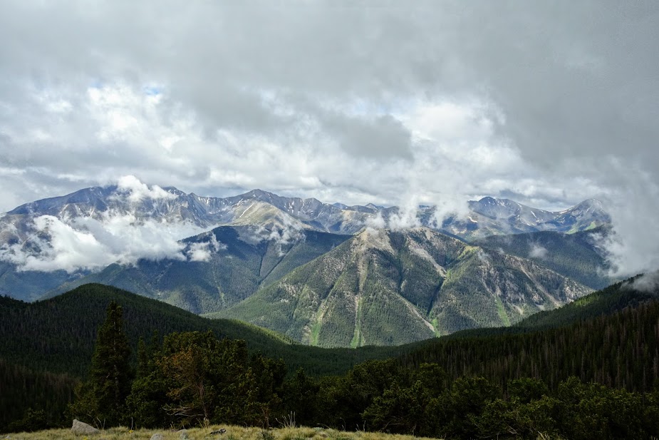
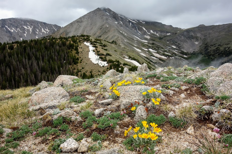
This section of trail is not for those with height anxieties. The trail connects to the spine in the distance before traversing below the peak. I was so thankful it wasn’t windy or rainy. I love the big 360-degree views afforded from ridge trails.

There were a few sketchy areas.

It was a relief to enjoy this section in perfect conditions.

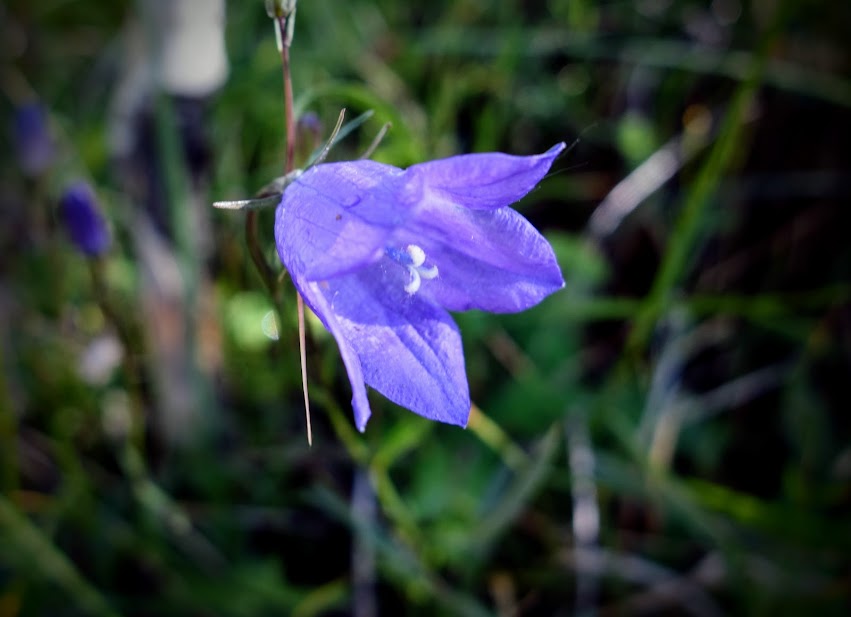
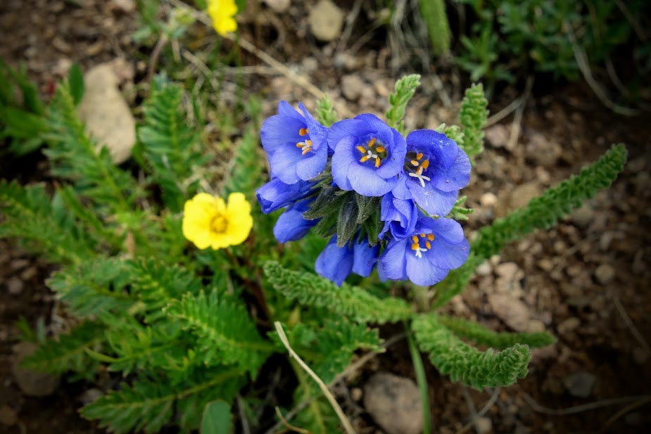
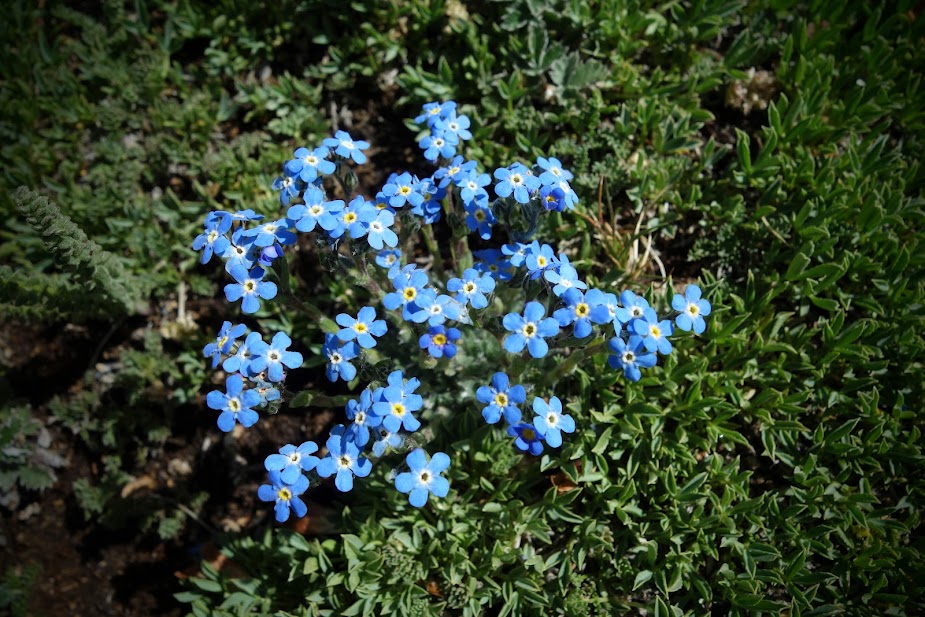
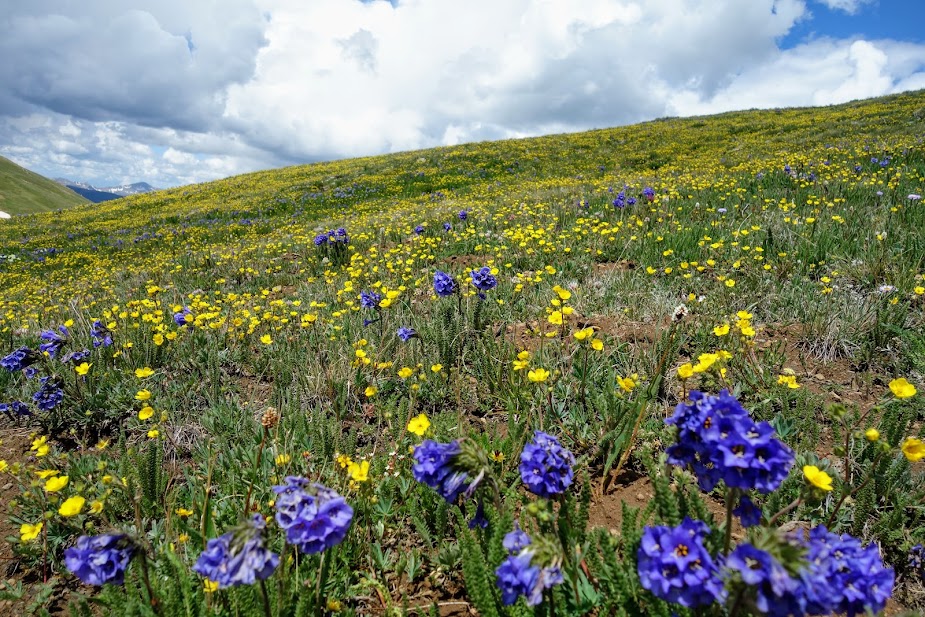
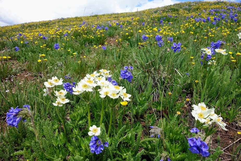
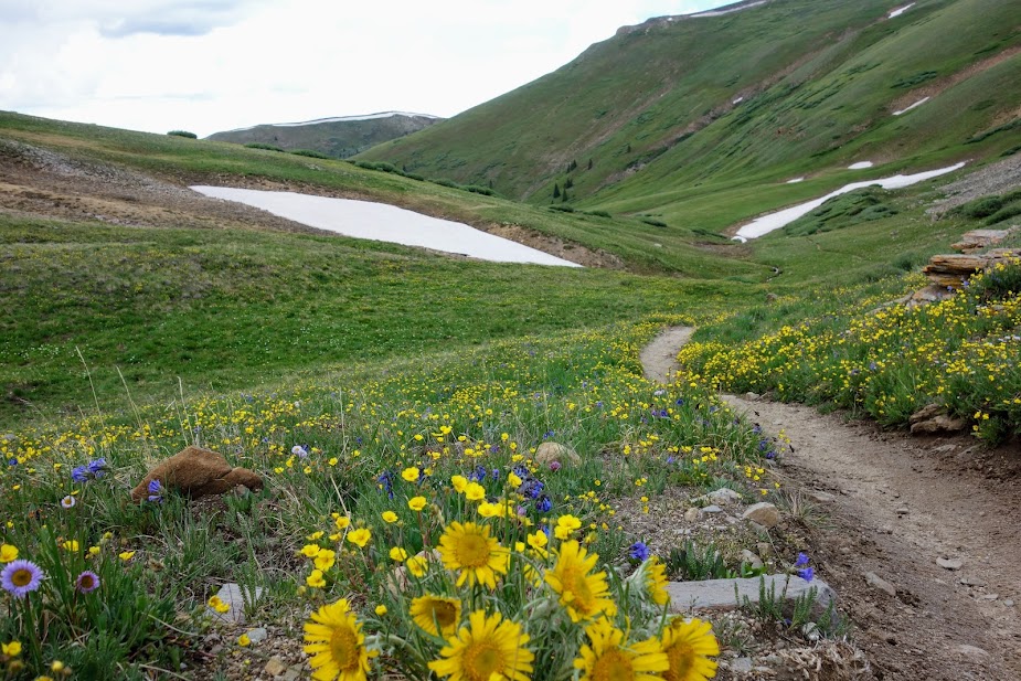
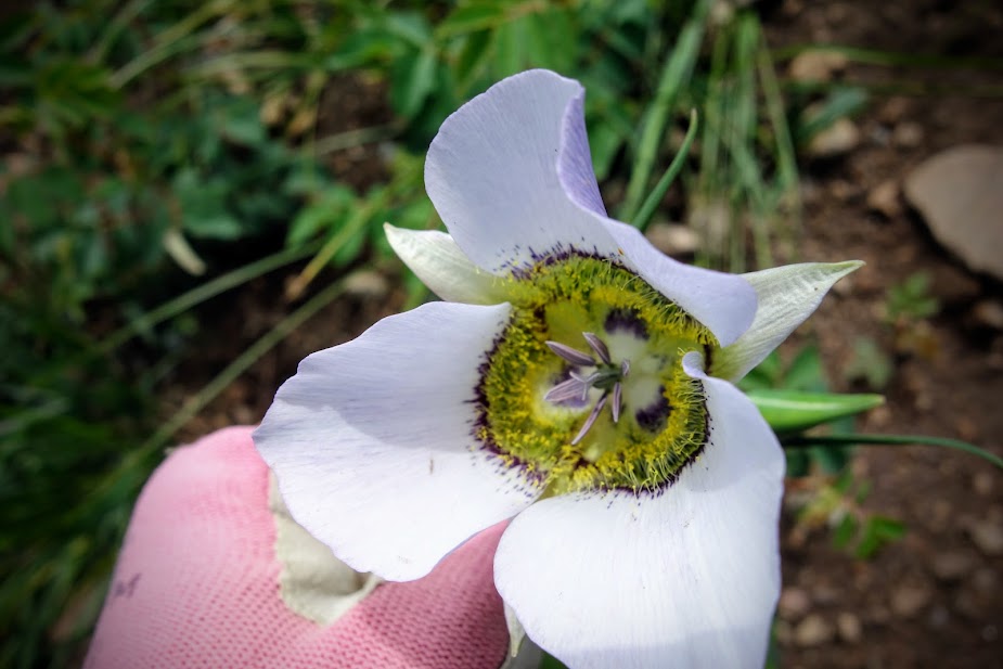
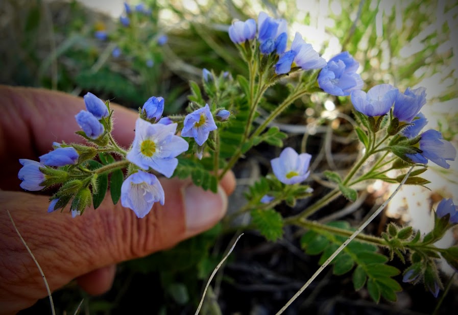
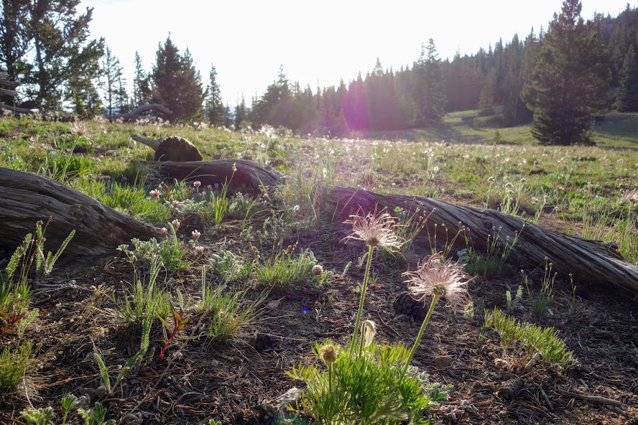
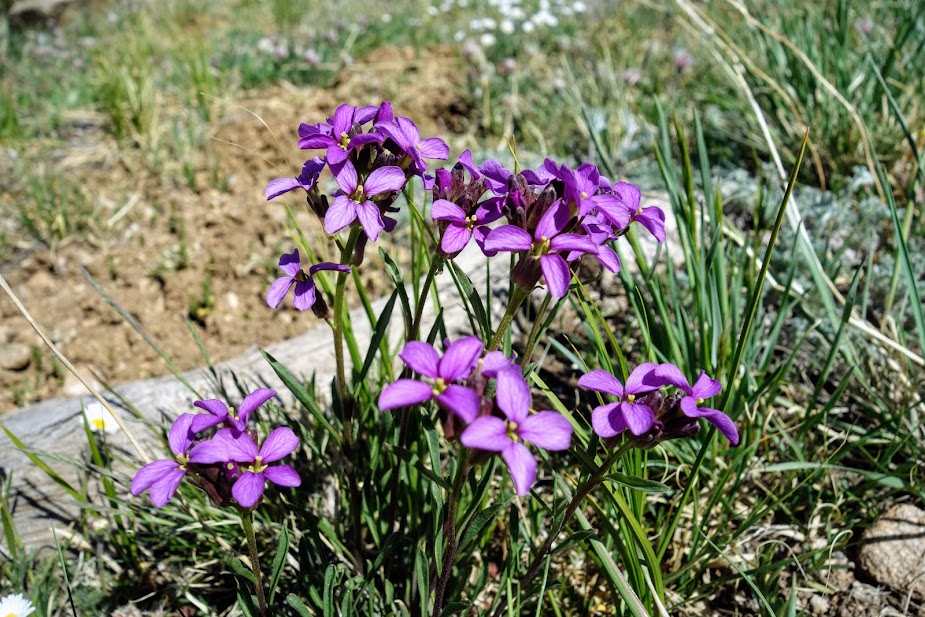
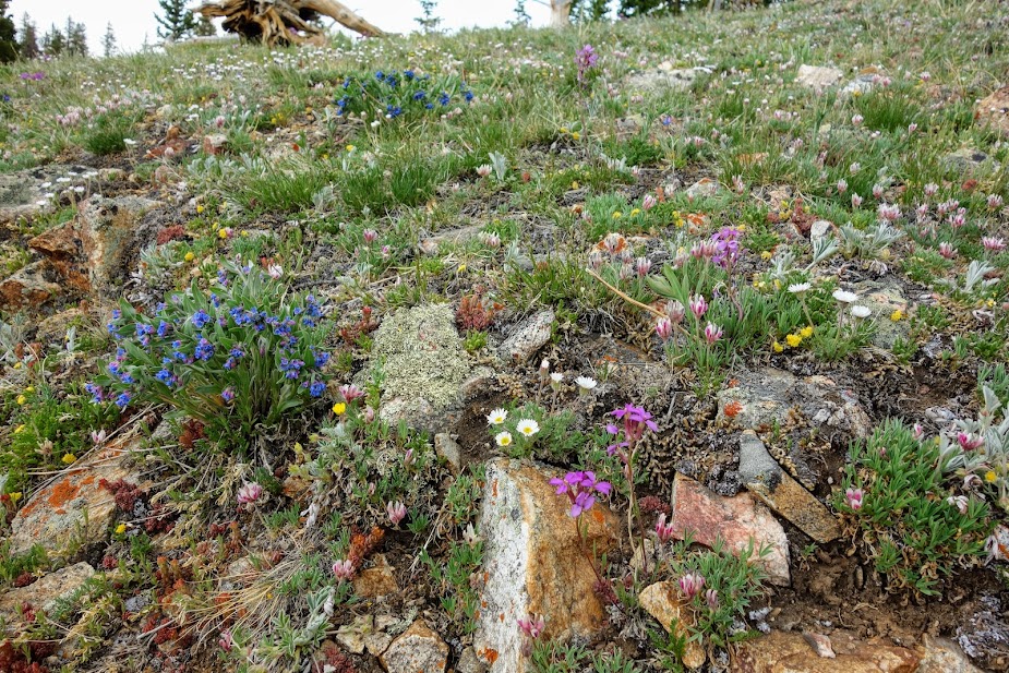
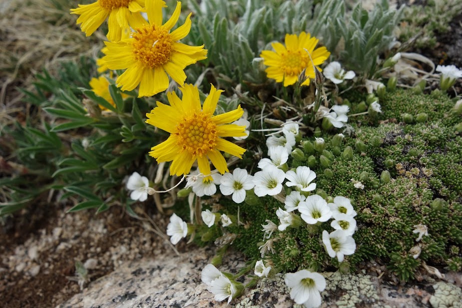
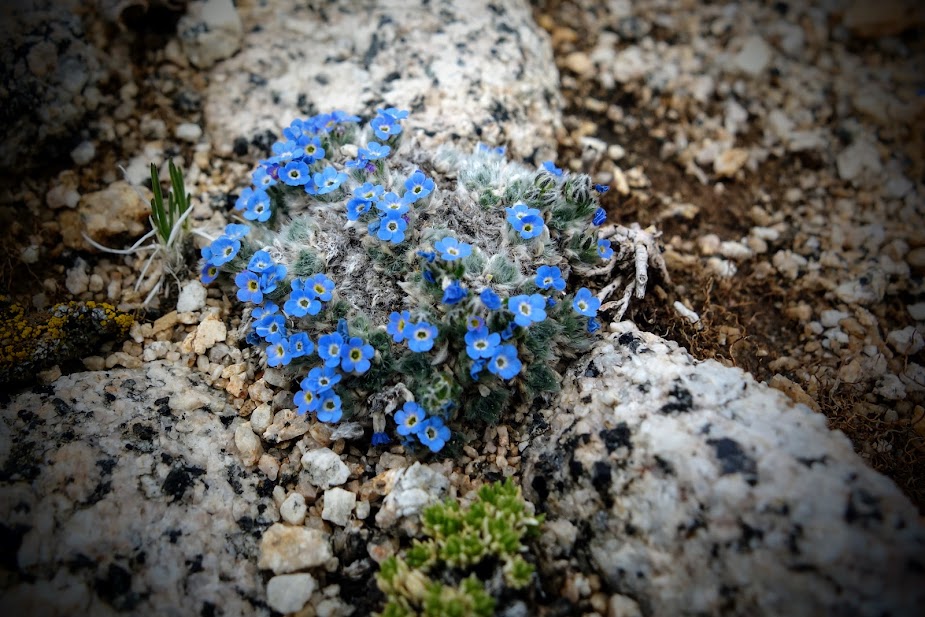
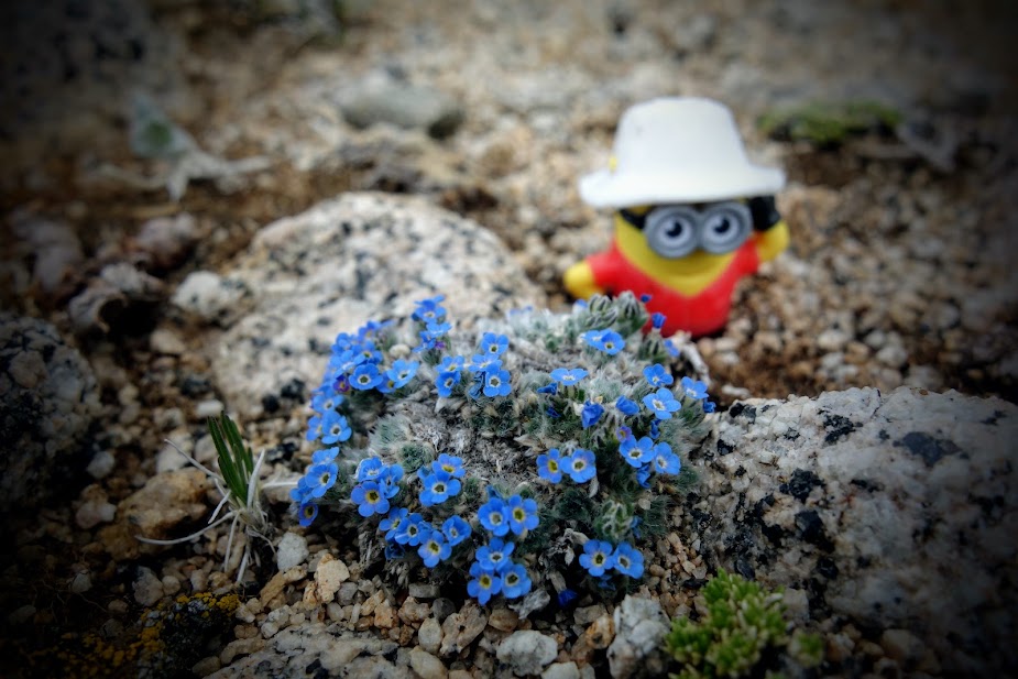
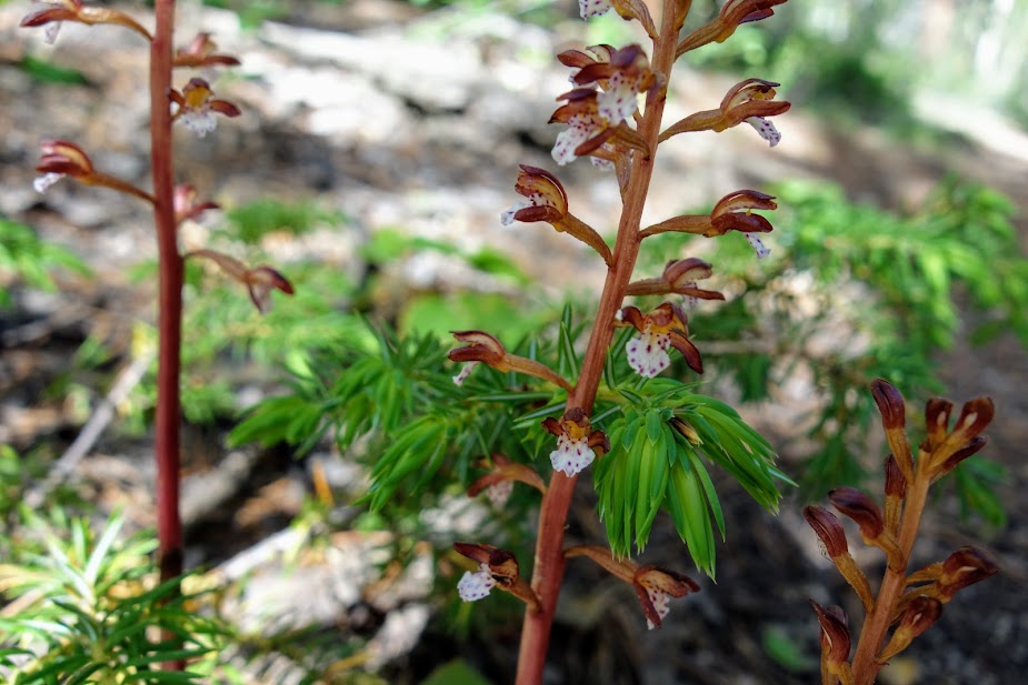
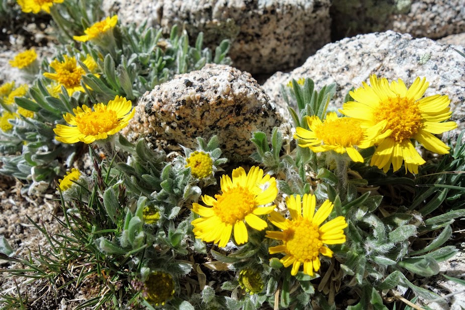
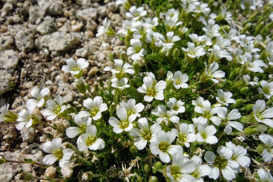
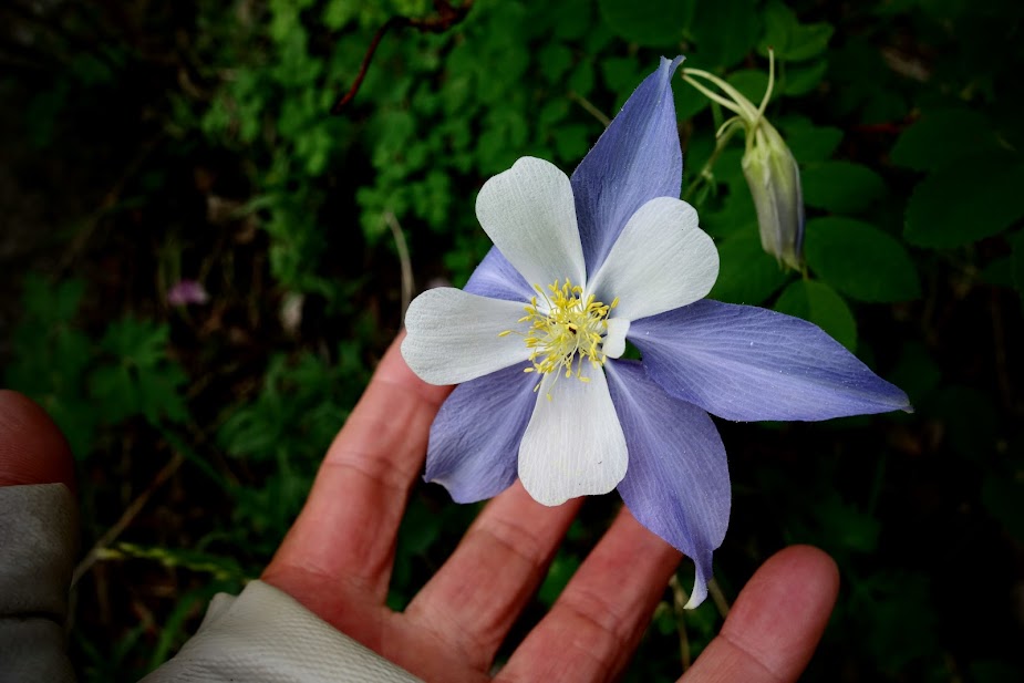
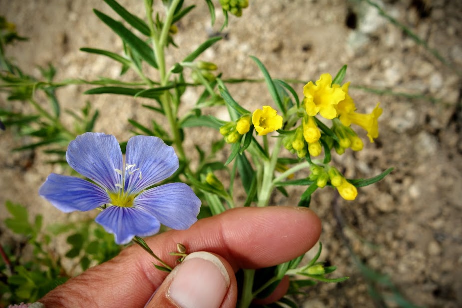
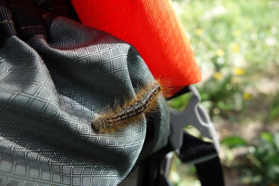
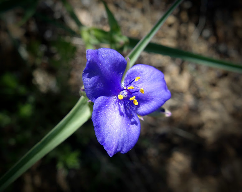
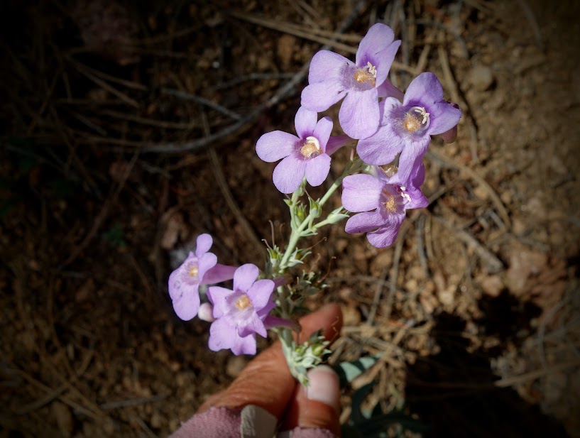
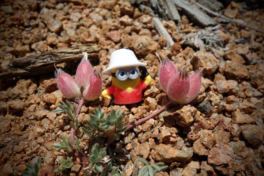
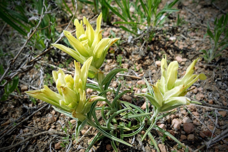
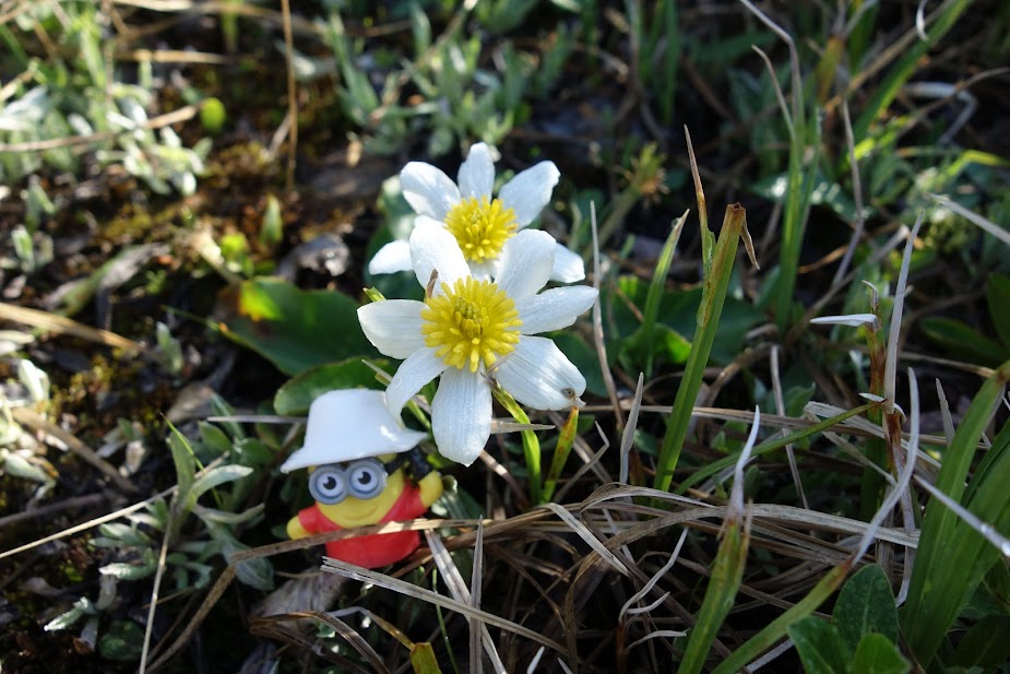
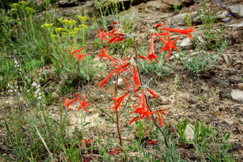
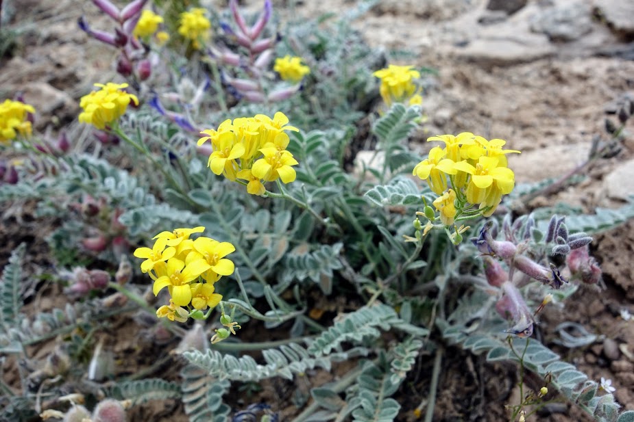
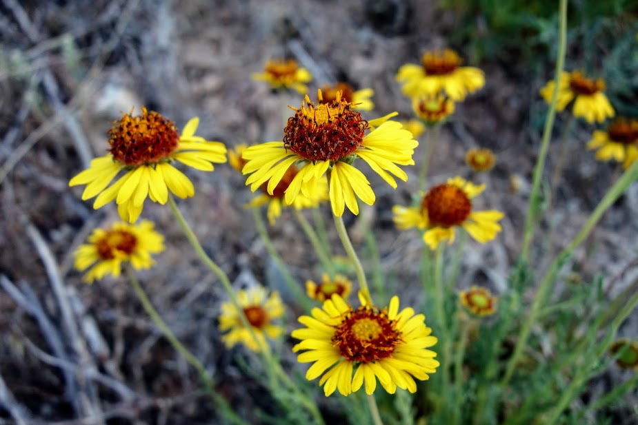
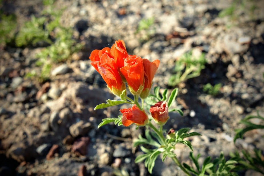
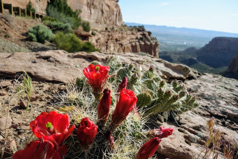
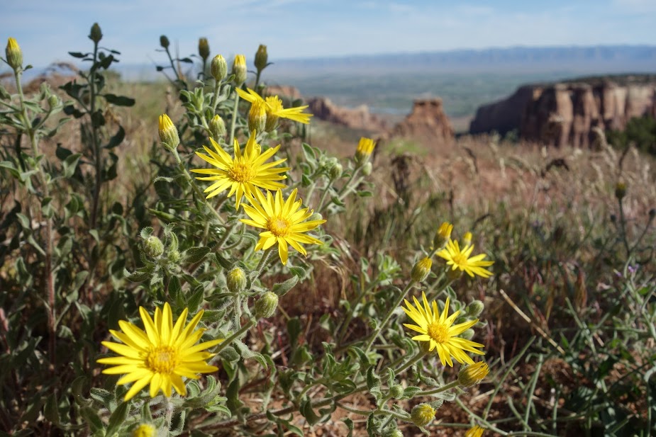
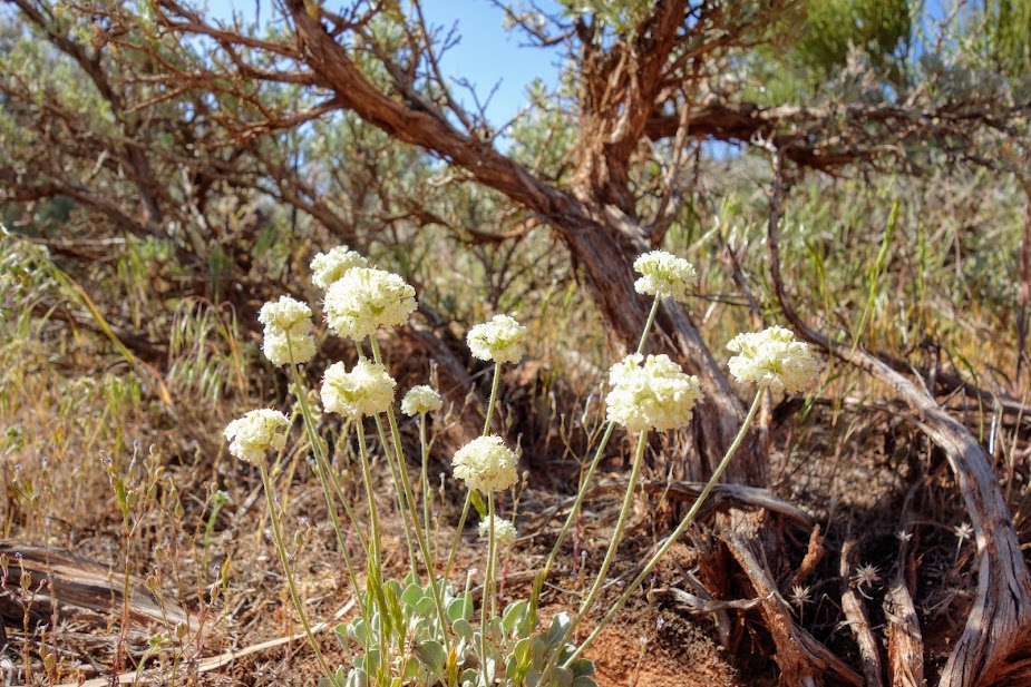
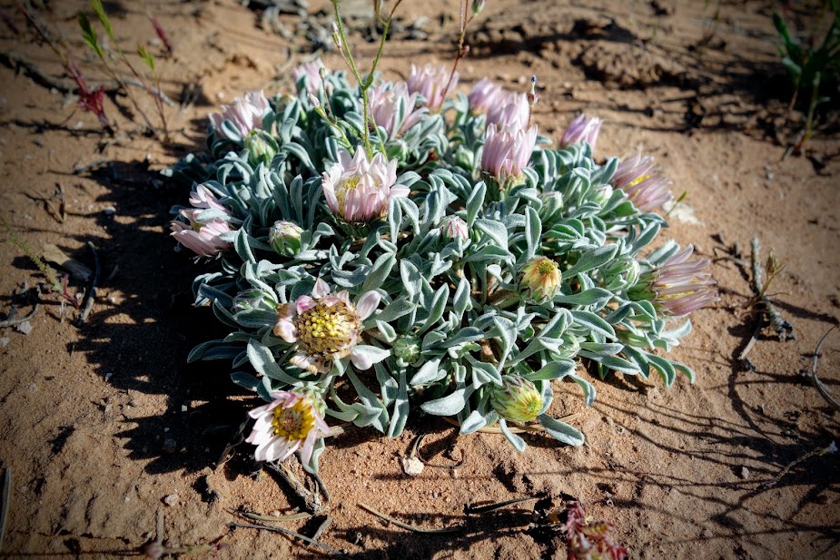
I was thrilled to find some high-altitude blooms along the trail. Bino Bob, at 1.25″, was happy to jump out of my pocket for size comparison photos. I haven’t had time to research identifications yet.

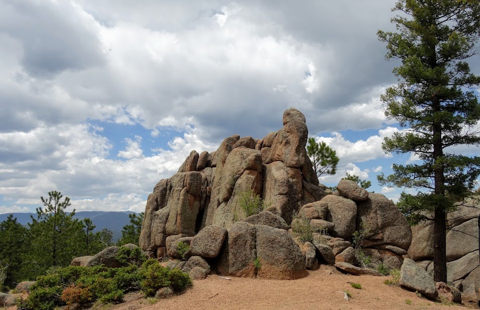
There was a lot of variety in the rocks.

Looking back at Warren Peak and a snow tarn.

Looking the opposite direction.

Looking back from where I’d come.

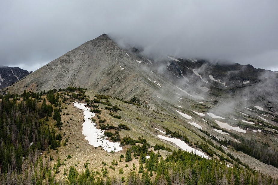
As I made my way across I had a new view of Warren Peak, one in which you can see the wildfire scar.

Beaverhead Mountain with a little lake in the foreground and now Warren Peak is in the background.

West Goat Peak is visible off to the left.

It took me about 1.5 hours to make it across the ridge.

Now it was time to begin the long descent back to the trailhead.

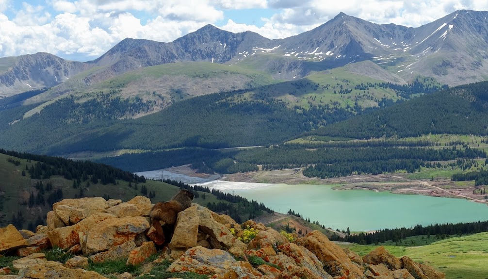
You can see the burned area I hiked through on the first couple days of this trip.

I appreciated that the trail builders choose to create a long traverse rather than switchbacks through the rocks. Plus as a bonus I found some larch trees bordering the trail once I dropped elevation.

Arctic Gentian.

The threatening clouds kept me moving but I finally found a spot for a well-earned break.

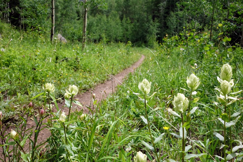
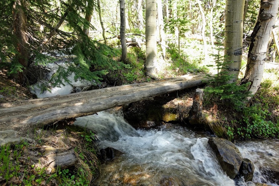
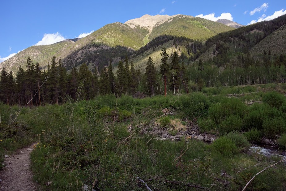
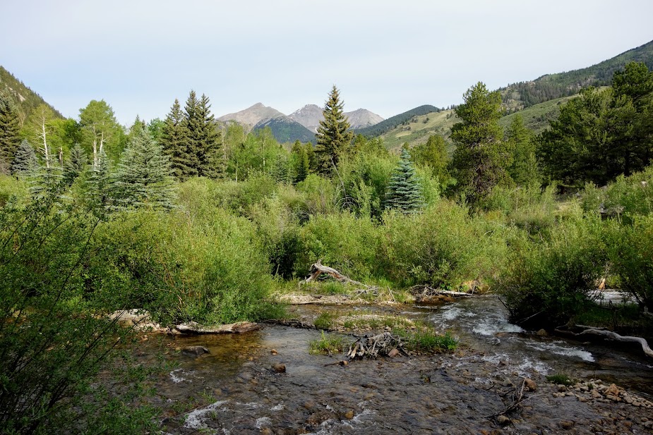
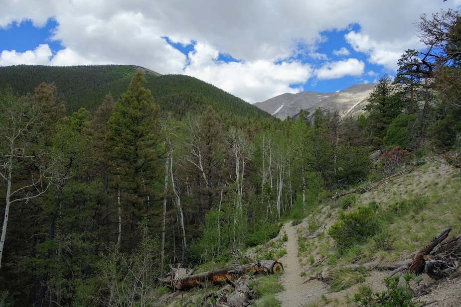
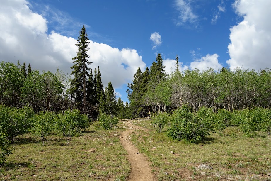
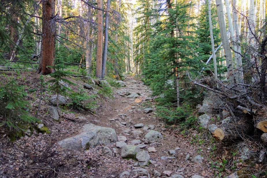
Back in the forest, I enjoyed some strolling. I celebrated healthy forests and no burn all the way back to the trailhead.

I had views of the ridge from which I descended.

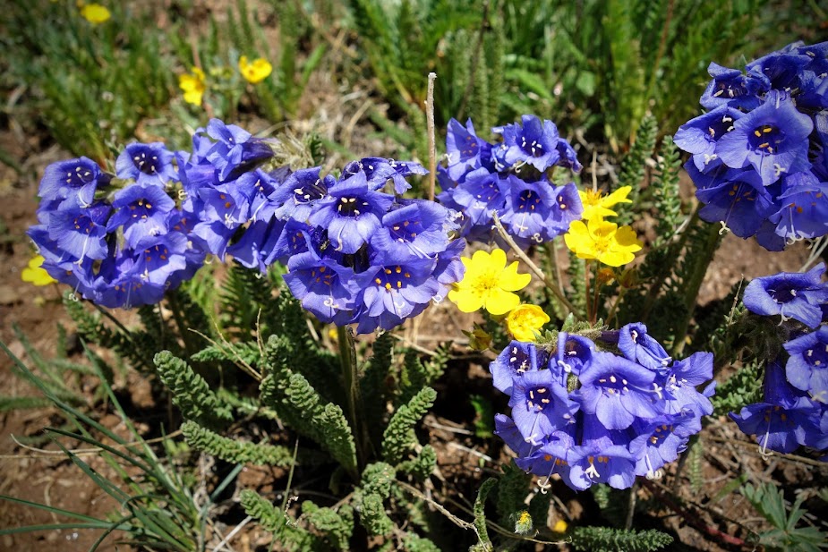
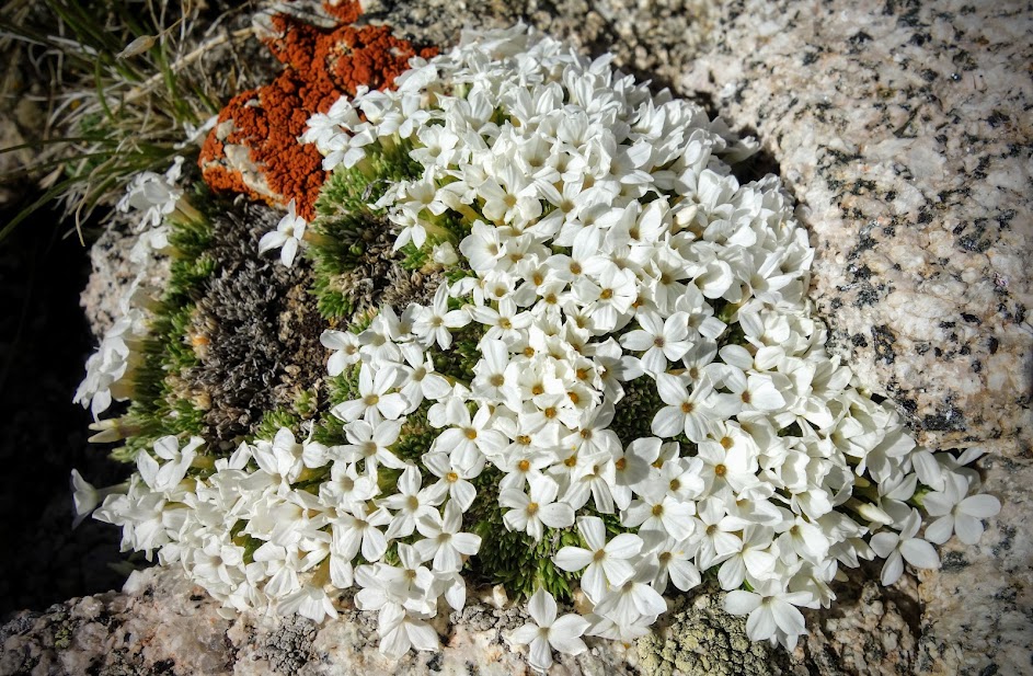
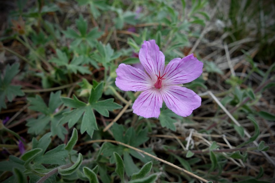
My first traditional gentian bloom of the season.

You can see the trail across the ridge I came down from the parking area.

The next morning I was welcomed back to civilization with a rainbow.

The brown shows the 2017 burn area.

Tips:

  • The best map is from Cairn Cartographics, Anaconda-Pintler Wilderness. It can be purchased locally from the Anaconda Outdoor store, and is also available digitally through Avenza.
  • The best source of trail and road conditions is the USFS Ranger Station in Philipsburg.

Resources:

Links:

MT – Beaverhead-Deerlodge National Forest, Twin Lakes Trailhead (07/23)

The Continental Divide Trail runs 45ish miles through the Anaconda-Pintler Wilderness. I’m guessing that’s how this area got on my list of places to visit. I arrived from Washington hoping to obtain a map and trail/road information. I stopped at the USFS office in Butte where the staff member couldn’t help me with either. I didn’t have any better luck with the outdoor stores until I finally connected with the right person at a small shop in Anaconda. He recommended this trail and since I was nearby I decided to give it a go without doing much further research.

Bear Grass.

Shooting Stars.

After about 3.75 miles I reached a junction with one trail going to Lake of the Isle and the other to Twin Lakes. I decided to visit Lake of the Isle first. The trail initially winds around Lower Twin Lake.

Views along the trail.

After 6 miles and 1,600′ elevation gain, I reached Lake of the Isle. I spent the afternoon enjoying the tranquility and beauty. You can see my tent off to the right.

Sunset reflection at Lake of the Isle.

Elephant Heads.

The next morning I was back at Lower Twin Lake by 9am. My plan was to hike to the wilderness boundary.

I stopped briefly at Upper Twin Lake.

Yellow Columbine.

The petals turn pink from yellow as they begin to die.

I loved the open views and enjoyed the cleared trails.

The clouds were making me a little nervous. I would have loved to camp in this area as it provided open views for watching the mountains turn colors at sunset and sunrise, but it was a very wet meadow filled with hungry mosquitoes.

Penstemon.

I found an old sign indicating the location of the Anaconda-Pintler Wilderness. This is also part of the Continental Divide Trail (CDT), at least an alternate often referenced as the Anaconda Cut-Off Route. I met one thru-hiker in this area.

At 11.7 miles and 2,400′ elevation gain, I reached the boundary high point and my turnaround spot.

This knoll was filled with flowers. I’m still not able to get both foreground and background in focus on my phone’s camera.

On my way back to Twin Lakes, the skies had mostly cleared.

The Monument Plants were just beginning to bloom.

Mountain Deathcamas.

One-Flowered Wintergreen.

Elephant Heads, Bog Orchids and Asters.

I was taking a nice break in the sun at Upper Twin Lake when all of a sudden a few large drops of rain started falling. I quickly set up my tent and soon thereafter I found myself in a hail storm with the largest ice bombs I’ve ever seen. I was super nervous about the durability of my tent.

A couple of hours later, the storm retreated as fast as it arrived.

There was a bit of alpenglow at sunset. The canyon leads to Lake of the Isle where I’d spent the previous night.

The storm raged intermittently during the night. My tent took a beating but survived.

The next morning was misty from the moisture.

This was a nearly 19-mile 2,100′ elevation gain/loss out-and-back hike.

Tips:

  • This hike was outside the wilderness area and as such bikes are permitted for a portion of the trail, and along the beginning of the road and parts of the trail include private inholdings.
  • Some of the trail follows old road. Sections had been rerouted into single track.
  • The best map is from Cairn Cartographics, Anaconda-Pintler Wilderness. It can be purchased locally from the Anaconda Outdoor store, and is also available digitally through Avenza.
  • The best source of trail and road conditions is the USFS Ranger Station in Philipsburg.

Resources:

Links:

AB Canada – Kananaskis Country, Spray Valley Provincial Park, Ribbon Falls (06/23)

It was a day to go find a waterfall and see how close I could get to connecting to Boller Pass, which I’d hiked a few days previous.

The welcoming committee?

It was a lovely hike along Ribbon Creek, with plenty of open views, blooms, and cascading waterfalls.

As I was hiking back toward the trailhead, someone asked if THE waterfall would be easy to spot. My answer. It would be nearly impossible to miss.

Notice the object just below the waterfall. That’s a huge chunk of snow from an avalanche, still supporting living trees.

The approach view provides a better perspective as to the location of Ribbon Lake and Bollon Pass.

Ribbon Lake is less than a mile away. Oh the temptations . . .

HOWEVER, this warning was posted at the trailhead.

This sign was at both the trailhead and the waterfall.

A couple of days later I saw these photos of the “trail.” It might have been fun at some point in my life but I think a bit above my pay grade now.

Here’s a visual of the gap between my sections of the trail. So close . . .

Canadian Bunchberry (Cornus canadensis)

Likely Eggleaf Beardtongue (Penstemon ellipticus)

Mountain Forget-Me-Not (Myosotis asiatica)

It was a day for butterflies and bees.

The tiny butterflies must have been on a migration. There were hundreds flittering about.

This was a nearly 13-mile 1,200′ elevation gain/loss out and back hike.

Links:

AB/BC Canada – Banff, Yoho, and Kananaskis Parks, The Wildflower Edition (05/23)

I’ve named May the month of the Pasqueflower (Pulsatilla nuttalliana) here in Canada. I found my first blooms on May 1st and was lucky enough to find at least one on nearly all my hikes. These also are known as Prairie Crocus and Anemone.

Arctic Butterbur (Petasites frigidus) was a new-to-me plant. I found it at Cave and Basin.

Another at Cave and Basin was Watercress (Nasturtium officinale).

I first saw Northern or Small-flower Anemone (Anemone parviflora) at Upper Kananaskis Lake been then started seeing them around Banff National Park. This photo was taken on the Sulphur Mountain Trail.

This Avalanche/Glacier/Fawn Lily (Erythronium grandiflorum) was found at Emerald Lake in Yoho National Park on Mother’s Day.

This Mistassini Primrose (Primula mistassini) was also at Emerald Lake and another new-to-me plant.

It was feeling a bit more like spring by the third week of May. I was hiking the Hoodoos Trail in the Town of Banff when I saw several blooming Boreal Sweet-Vetch (Hedysarum boreale).

Nearby were Hookedspur Violet (Viola adunca). A few days later I saw them at Cave and Basin.

As well as Prairie Smoke/Three-Flowered Avens/Old Man’s Whiskers (Geum triflorum).

Lewis Flax (Linum lewisii).

I explored some of the nearby trails and found my first-of-the-season Eastern Fairy-Slippers (Calypso bulbosa var. americana).

I was excited to find a few large patches of these fairy-slipper orchids.

My first sighting of a white Fairy-Slipper Orchid was found on a hike near Lake Minnewanka.

Purple Clematis (Clematis accidentalis) was first seen on the Cave and Basin trails and again on the Sulphur Mountain trail.

Bearberry (Arctostaphylos uva-ursi)

Double Twinpod (Physaria didymocarpa)

I had an amazing day of botany at Bow Valley Wildland and Valley Provincial Parks. This was the first of many finds. Star-flowered Lily-of-the-Valley (Maianthemum stellatum)

Canada Violet (Viola canadensis)

Heartleaf Arnica (Arnica cordifolia)

Wax-leaf Beardtongue (Penstemon nitidus)

Hooker’s Mountain-Avens (Dryas hookeriana)

Western Stoneseed (Lithospermum ruderale)

Field Chickweed (Cerastium arvense)

Bonneville Shooting Star (Primula conjugens)

Yellow Lady’s Slippers (Cypripedium parviflorum)

Cutleaf Anemone (Anemone multifida)

Yellow Anemone (Anemonastrum richardsonii)

Yellow Columbine (Aquilegia flavescens)

Small-flower Columbine (Aquilegia brevistyla)

Lehmann’s Rockjasmine (Androsace lehmanniana)

Giant Red Indian Paintbrush (Castilleja miniata)

The common dandelion is the highway median flower in these parts.

Note: I did my best with plant identifications using Seek and iNaturalist. Please post a comment if there is a correction to be made.

Links:

AZ – Arizona Trail, The Wildflower Edition (March/April 2023)

I found my first blooms along the Arizona Trail in early March. With plentiful rain, there was no shortage of flowers. Poppies stole the show. Disclosure: I took most of the photos with the Galaxy S22 Ultra phone instead of my Sony RX100 camera and the quality especially on macro photos isn’t up to my normal standard. I also did my best with flower identification, but there may be errors and would be happy to see corrections in the comments.

Tuber Anemone

Redstem Stork’s Bill

Lupine.

Owl’s Clover

Henbit Deadnettle

Fairy Duster

Scorpion Weed

Goldfields?

Fiddleneck

Redmaids

Chicory

Gilia?

Mustard/Bladderpod?

Blue Dips and Globemallow

There are a few places in Arizona where you can find pink poppies. I found a few on a previous trip but had planned to visit an area known for mass blooms. This didn’t happen but I found a few of these yellow outliers instead.

Fringe Pods hiding among the Poppies.

Spiderwort?

The predominant blooms of early spring was Blue Dips (Dipterostemon). They come in a variety of colors from fuchsia to pink to blue to purple to white.

Four O’Clocks?

I’ve always loved the purple round balls on sticks, aka Salvia or Chia.

I was a little early to enjoy cacti blooms.

I was too early for the ocotillo blooms as well.

The yellows brighten the desert. The desert marigolds are one of the first to make an appearance.

By the time Brittlebush line the trails, many of the other blooms start to fade.

I found evening primroses in yellow and white.

Cream Cups?

Daisies.

Dandelion.

Vetch.

Wild Rhubarb.

Miner’s Lettuce.

Toadflax.

Larkspur.

Paintbrush.

Sedum.

Penstemon.

Verbena.

Allium (desert onion).

Nightshade.

Monkeyflower.

Carphochaete bigelovii, Bigelow’s Bristlehead?

Lewisa.

Spring Beauties.

Candytuft.

Lilies.

Happy Jan playing in the blooms.

These photos were taken while hiking the following sections of the Arizona Trail.

Links:

Resources:

AZ – Arizona Trail Passage 15 SOBO YoYo, Florence-Kelvin Trailhead to Freeman Road Trailhead (03/23)

I said goodbye to my friends and I was off for a multi-night, 50+ mile challenge.

I hiked the first 5 miles of this passage a couple of weeks earlier (link) and was looking forward to seeing the color change.

There were significantly more blooms and a lot more variety, although it was still a little early in the morning for many to open. They are solar powered!

There were some nice patches of Owl’s Clover.

Lots of buds on the cacti.

There was a lot more lupine this trip.

Chicory and Scorpion Weed (Phacelia) were also more prevalent.

There were a few bright red penstemons along the trail.

The Arizona Trail Association created this wonderful switchback section of the trail. I call this Jan grade!

The blooms decreased as I hiked south.

Goodbye poppies for now.

There is rarely a flat section on the Arizona Trail. I heard one group singing the Up and Down song as they passed by. This section is one of the flatter but it was plenty challenging for me.

In fact, this is the full trail elevation profile.

It’s too bad the cows don’t like to eat cholla. On a positive note, the spines catch the light and add so much texture to the view.

Arizona has an open-grazing policy and there are many gates along the trail that keep cows separated and out of some sections. Blooms seem to be much less intensive in cow areas. I found a few that they must not like.

I forgot about wash walking.

Finding a waterfall in the desert feels a bit of a miracle, but after a wet spring, this wasn’t a mirage.

The unusually wet spring also made for a very green desert. Such a treat!

I applaud the Arizona Trail Association for making water more accessible. This is a spring-fed tank.

I know about cutting trees, but can’t even imagine having to cut up a saguaro. That’s some spiny business!

Soon the yucca will be blooming.

Speaking of cows . . . I selected this campsite due to the wind. There weren’t any cows around and no fresh cowpies were evident. Around sunset, this young male appeared, thankfully we had a sturdy fence separating us.

However, he must have been lonely. He stared at me for a long while.

I tried everything to encourage him to move along.

Then this female showed up on my side of the fence. He switched his infatuation to her. For hours and hours, they shared many vocal sounds including moans, loud eating, peeing and defecating near my tent. She wasn’t interested in moving along either. The male decided to bed down nearby. Even with earplugs, it was a restless night.

I was happy when morning finally arrived and I could get back on trail.

This next section included a LOT of ATV track. There were so many miles of steep up and down.

The cactus didn’t mind these electrical giants.

But if not for the cattle, we might not have these water sources.

There was a small stretch of trail decorated by very porous large boulders.

The leaves on this bush were prickly like holly. I later saw yellow flowers in place of the buds. It was too windy to get a decent photo of the blooms.

I believe these are a type of onion.

My turnaround point was the Freeman Road Trailhead. I couldn’t believe it when I heard shouts of “is that Jaunting Jan?” Yes indeed it was my friends, the Wander Women. I was beyond excited to spend more time with these women I consider trail sisters.

I was protected from more animal encounters by a fortress of cacti.

We shared a nice sunset.

Annette and Kristy weren’t feeling their best and were nursing injuries and ailments, but they were still in good spirits and continued to impress with their Bad Ass Feral Female attitudes and performance. This is the first time, in all their thousands of miles, that they’ve had to deal with illness on trail. It’s not easy but they proved they had dogged determination.

I shared my pre-filter which minimizes clogged filters.

I’d been wanting to camp under a saguaro.

I love walking in the early morning when the light is magical.

This was a happy moment when the steep ATV road transitioned to single-track trail.

We shared some smiles at the waterfall.

Brittlebrush is about to explode and add intense color along the trail.

I’ve seen a lot of bunnies and jackrabbits but this was the first one who wanted to be photographed. I was thrilled!

Getting it done!

Soon we were back in the flower zone.

Registers are provided at many trailheads.

This marked the end of my yoyo of this section, and the completion of 266 miles for the Wander Women as they continue their northerly trek from Mexico. Be sure to follow their adventures on their YouTube channel. You’ll find me on this episode (link).

Crossing the Kelvin Bridge is a significant milestone. For me, it brings back memories of when the restaurant in Kearney brought me and Joan pizza, ice cream, water, and beverages to this location. It was the beginning of a tradition.

I was thrilled to complete this 50+ mile, 4-day jaunt. It was challenging, but I DID IT!

Links:

Resources:

CO – THE Colorado Trail, Segment 8, Kokoma Pass (07/22)

This segment is 25.4 miles with 4,417′ ascent and 3,810 descent. Highlights include Camp Hale and the 10th Mountain Division, plus copper mining history. But for me the WOW views and flowers defined this section. I hiked the southwestern 13 miles in two sections; the northeastern 12 miles will need to await a future visit.

Highway 24 Crossing

I first hiked south to Tennessee Pass Trailhead and then north to Camp Hale Trailhead. This was a 14-mile 2,400′ elevation gain/loss round trip hike.

There’s a nice spot to park off the highway. The gate is the “trailhead.”

You almost immediately cross the train tracks. I couldn’t help but wonder if this track is still active.

These were the first engraved signs I’ve seen.

I wondered if this would be day I would get drenched. I was prepared!

With the recent rains, the ground and plants were saturated. I was thrilled to see all these blooms and thankfully the mosquitoes must have drown.

I’ve seen several coke ovens aka charcoal kilns over my years of traveling, many in better shape than these. “Coke ovens were used to convert the coal mined in the local area into industrial coke, a relatively clean-burning fuel used in the smelting of iron ore. In a process known as “coking,” coal was shoveled into an insolated beehive-shaped and ignited.” I was disappointed on my way back to find a hiker using it as a clothes line to dry out their gear.

This section also includes views of the Ski Cooper resort near Leadville and Tennessee Pass. Further northeast the trail passes through Copper Mountain resort.

This section provided the most “flat” walking since Waterton Canyon in Segment 1; in fact a portion was on an old railroad bed.

I finally found some monkshood blooming.

The meadow was filled with Three-Flowered Avens.

Asters filled the meadows as well. The mountains in the distance include Mount Massive and Mount Elbert.

10th Mountain Division is a memorial at Tennessee Pass.

Bunkers remain at Camp Hale, a training facility for the 10th Mountain Division. I sat out a rain shower and ate my lunch inside one.

There is plenty of evidence of the area’s history.

I noticed this cabin in the woods on my way to the Camp Hale Trailhead, so on my return to the Highway 24 crossing I couldn’t help but stop to explore. I wondered if this was used by the troops.

A happy sight!

Camp Hale Trailhead

I hiked northeast to the high point, Elk Ridge. This was a 13-mile, 2,900′ elevation gain/loss round trip hike. This was a challenging day for me so I was grateful for the rewards!

This was to be a WOW day with so many blooms and views. It started with these penstemon within a short distance of the trailhead.

Harebells I believe.

The first sunflowers I’ve seen. I bet soon the hillsides will be filled with glorious yellow blooms.

I found a few mariposa lilies hiding among the grasses.

Once I was above treeline I was greeted by this marmot.

Kokomo Pass is directly ahead.

It was super windy and chilly at the pass.

There were unique plants in the alpine tundra.

Sky Pilots
Forget-Me-Nots

Elk Ridge was a bloom fiesta.

Cool purple flowers lead the way to the Elk Ridge high point. I believe these are a type of phacelia.

At this viewpoint another marmot is sitting atop the rock pile. The turquoise colored lake is really a copper mining holding pond.

Mining has changed the landscape.

Back to happier thoughts.

The growling thunder signaled the end of my lollygagging time.

These baby alpine sunflowers were so cute. I later learned they are called Old-Man-Of-The-Mountain.

So many sky pilot blooms.

It was hard to say goodbye to the ridge but knowing I’d hike back up from the other side at some point made it a bit easier.

Soon enough it started hailing, thankfully as I was near treeline and could take shelter under a tree.

I loved the paintbrush color variations.

I couldn’t help admiring the mariposa lily another time on my way day down.

I believe these are a white or yellow paintbrush.

The first significant waterfall of my time on The Colorado Trail, Cataract Creek Falls.

Lovely rock features on the final miles back to Camp Hale Trailhead.

Colorado Trail Segments Hiked:

Tips:

  • The Guthook/Far Out App and Colorado Trail Association Guidebook and Databook are helpful in planning section hikes. The guidebooks details parking and trailhead options along with the elevation profile. Far Out was a great way to plan my turnaround based on mileage and elevation gain/loss. I also used Gaia with the Colorado Trail Nat Geo layer.
  • Leadville is nearby and is an excellent town for resupplying, doing laundry, grabbing a shower and using WiFi.

Resources:

CO – THE Colorado Trail, Segments 12-13, Collegiate Peaks Wilderness (06/22)

You can plan or you can take things as they come. After completing segments 1-5, I landed in Fairplay. When smoke rolled in from the fires in Arizona and New Mexico I moved on to Buena Vista and discovered proximity to segments through the Collegiate Peaks Wilderness.

The sign seems incomplete. What happened to PEAKS?

Collegiate Peaks Wilderness was designated by the United States Congress in 1980 and it now has a total of 167,584 acres. It’s a subset of the Sawatch Range. When the tradition of naming the nearby peaks after universities including Harvard, Columbia, Yale, Princeton and Oxford.

I broke segments 12-13 into several section hikes. Like most long distance trails, the Colorado Trail has best seasons. I used this blog article published by the Colorado Trail Association to guide my planning (link). They also have active facebook groups sharing feet-on-the-ground conditions.

Silver Creek Trailhead

Segment 12 – Silver Creek Trailhead to Waverly Mountain Ridge

I initially hiked north from the trailhead, covering the southern 14 miles of this segment as an out and back for a total of 28 miles with 5,000′ elevation gain/loss. The high point was nearly 12,000′.

This section was all about Harvard; Harvard Lake and Mount Harvard. “Mount Harvard was named in 1869 when Harvard geology professor Josiah Whitney led a surveying expedition into Colorado to investigate rumors of soaring 17,000-foot peaks deep in the Rockies. After crossing Trout Creek Pass, they named the highest summit in sight for the expedition’s sponsor: Harvard University.” Source: Summit Post

You see the big peaks almost immediately. Peak Finder informed me none of these were Mount Harvard.

I found the trail grade and terrain to my liking and was soon at the first Harvard Lake.

The second lake was much nicer with lots of fish jumping and swimming. You can see Mount Harvard off to the right.

I felt like I was in the mountains when I found plentiful natural water, often with bridges for civilized crossings. I never carried more than a liter unless dry camping. What a relief after the first 5 segments.

The bridge was a much better option than the log, after losing confidence several years ago when I got vertigo and fell.

There were a few remaining snow patches, but none that impeded travel.

I was super excited to find these Jacob’s Ladder blooms.

And maybe more so to find one of my all time favorites, Western Pasqueflowers.

Heading toward Dr. Seuss mophead mode
Mopheads glowing in the early morning light

A few other blooms.

Blue eye grass ?
Penstemon

I love above treeline trail.

This was from near my campsite the first night. Little did I know the next day I’d be dropping way down into that canyon.

I was happy to find this campsite that offered both protection from the wind and nearby views.

Sunrise views.

I got an early start the next morning.

I considered a side trip to Rainbow Lake but once I realized it was too much ascending I decided against, but not before I was welcomed by my first Colorado bear.

A friend noticed this bear had been tagged. I was told in Colorado bears have a 3-strikes policy. This bear has one more chance. I’m really glad it was well mannered during my encounter.

I believe this is Mount Harvard at 14,421 feet, the highest summit of the Collegiate Peaks and the fourth highest summit in the contiguous United States.

The guidebook says the side trail to Elk Pass and Missouri Basin along the Pine Creek is a worthwhile detour. I’d hoped to have enough energy but these big passes were keeping my humble.

Tundra wildflower heaven!

The WOW factor was high. I believe this is Mount Oxford.

Much of Segment 12 parallels the Arkansas Valley with the Buffalo Peaks in the background.

I spent my second night at Harvard Lake and caught early morning light.

With a storm brewing the lighting at the smaller Harvard Lake was nice as well.

I met several CDT thru hikers taking the East Collegiate Peaks route, including the Netteburg family of 5 kids, with one being under the age of 1. WOW!

This section ended with me saying thank you to a trail crew headed out for the day, and them gifting me croissants.

Segment 13 – Silver Creek Trailhead to Mount Yale Pass

The next day I hiked south from the trailhead. It was an overcast day with occasional sprinkles and lots of fog. I knew my chance of seeing views was 50/50 but since I’d need to reach the pass from the other side eventually to complete the segment I was willing to take the chance. This was a 7-mile out and back hike gaining/losing 2,600 feet with the high point about 12,000 feet.

The trail crosses Silver Creek on this sturdy bridge before beginning the climb, up, up and more up. It was a mix of reasonable and unreasonable grade.

It had rained hard the previous night. Droplets on the columbine were a treat, so much better than dust.

No wishes to be made from this dandelion seed ball.

I felt like I was hiking in the Pacific Northwest.

This California gal was so confused.

I found an old cabin.

And some very wet Dr. Seuss flowers.

Oh look a sign that includes PEAKS.

My legs were fried by the time I got to the pass but the guidebook said I needed to hike up this hill for best views.

YES it was worth it! I stayed about an hour watching the fog swirl about.

Mount Yale

You can see a bit of a trail up Mount Yale. Much of the mountain is hidden in the fog.

Mount Princeton
Mount Columbia

The flowers tried to steal the show.

Wandering around the tundra I found this bloom. It looks a bit like Forget Me Nots.

Bino Bob for comparison. He’s 1.25″ tall.

On the way back I got a hint of what I missed.

Avalanche Trailhead

Segment 13 – Avalanche Trailhead to South Cottonwood Trailhead

I needed a day with less climbing. This small section was perfect although I could tell my muscles were tired as I struggled even with this minimal elevation gain.

It was a lovely walk along Cottonwood Creek.

The trail was lined with red columbine but I found one pink columbine, although it photographed more purple.

Another special find was coralroot orchids.

This view shows Mount Yale in the background to the right, and a visualization of the climb to the pass.

Segment 13 – Avalanche Trailhead to Mount Yale Pass

I wasn’t looking forward to the climb and would have liked one more rest day, but the weather forecast indicated this was to be the last bluebird day for a while. It was 7 miles round trip with 2,700 feet elevation gain/loss. There were many areas with grade beyond my comfort zone, but if I wanted to complete this segment I needed to buck up and get it done.

You are almost immediately welcomed to the wilderness and provided a view of the pass.

Soon enough I was back up the pass and up the hill to the viewpoint. What a difference from the day I hiked up from the other side and found the mountain surrounded by fog.

Mount Yale

I saw one person headed up this path on Mount Yale.

I couldn’t help exploring all the alpine tundra plants. I read it can take a century for these matted plants to spread a foot in diameter.

South Cottonwood Trailhead

Segment 13 – South Cottonwood Trailhead to Mount Princeton Pass

I hiked south before reversing course on this 9.4 mile 1,200 foot elevation gain/loss round trip jaunt.

I said goodbye to Mount Yale and kept it in my rearview mirror as I made my way south toward 14,197′ Mount Princeton.

I was ecstatic to find several blue columbine blooms, the Colorado State flower, along the early part of the trail where it paralleled the river before climbing up to the pass though a nice forest with occasional views.

A few other blooms caught my eye as well.

And then it was finally time to say hello to Mount Princeton.

Mount Princeton Trailhead

Segment 13 – Mount Princeton Trailhead to Mount Princeton Pass

This 8.25 mile 1,300 feet elevation gain/loss round trip hike was in general a kind and gentle forest walk.

This section began with a one-mile road walk.

Since I wasn’t planning on hiking road sections I considered driving up the road to where the trail connects. In hindsight I was glad I chose to walk as it’s steeper than my car likes and there’s no parking. I didn’t hike the southern 5.5 mile road walk section of this segment.

There wasn’t much remarkable about this hike. You glimpsed views of Mount Princeton.

These lovely pink roses were the most prevalent bloom in Segment 13 so since I hadn’t previously shared, they’ll be showcased on this day.

Tent caterpillars had hatched and were dropping from the trees quickly becoming unwanted hitchhikers. I was glad to be wearing my hat. I don’t know if this is the same type of caterpillar but he wanted a free ride also.

This outhouse might be a cuteness award winner.

Clear Creek Trailhead

Segment 12 – Clear Creek Trailhead to Waverly Mountain Ridge

Was I saving the best for last? I wasn’t looking forward to this climb. I knew it would test my fitness so I first took a day off after 9 straight days of hiking these segments. This was a 10-mile, 2,800 foot round trip. I hiked south before reversing direction after reaching the ridge.

There wasn’t any exciting trailhead signage to mark Segment 12 or 11. It’s also a little odd as you first head for the creek and then veer left through a campground where there’s a bridge to cross the creek.

I really like this penstemon.

Soon it will be berry season.

It would be easy to be fooled about the upcoming climb.

But the views make the climb worth it! It was great to see Mount Harvard again.

Mount Oxford (14,157) is the pointy peak to the right and Emerald Peak is in the middle (13,885′)

Emerald Peak
Mount Harvard 14,420′

Tips:

  • This was a fuel efficient way to section hike these segments as I took advantage of nearby dispersed camping.
  • Buena Vista was a great place to hang out between hikes. I often spent the afternoon using free WiFi available in the park to upload my photos and work on my blog. The markets were sufficient and I found a couple great restaurants. There are showers and laundry available also.
  • These are considered hard segments due to the ascending and descending. Segment 12 is 18.5 miles and going south has 4,866′ of ascending and 4,364 of descending. Segment 13 is 22.8 miles with 4,296′ ascending and 5,343′ descending. That’s 223 feet per mile.
  • Would I recommend as an out and back? Probably not unless (1) you are a glutton for punishment, (2) you want a quick weight loss fitness program, (3) you don’t have access to a two vehicle shuttle, or (4) you don’t want to pay for a shuttle or hitch between trailheads.
  • The Guthook/Far Out App and Colorado Trail Association Guidebook and Databook are helpful. I also used Gaia with the Colorado Trail Nat Geo layer.

Resources:

CO – THE Colorado Trail, Segments 1-5, Waterton Canyon to Kenosha Pass (06/22)

Hiking all or part of THE Colorado Trail has been on my agenda for several years and became a knee rehab goal. This 485-mile trail runs between Denver and Durango, passing through six National Forests, six Wilderness areas, traverses five major river systems and penetrates eight of the states mountain ranges. 

Much like other long trails, if you are thru hiking, you can’t pick best time for each section, but as a self-proclaimed cherry picker and section hiker, I’m happy to jump around when opportunities present. The first five segments (or sections) are lowest elevation and tend to heat up early, and with each passing week after snowmelt, water availability lessens. When the window opened and logistics came together easily, I found myself at this iconic sign.

Was I ready to traverse 70+ miles with significant elevation gain while traveling between 5,000 and 11,000 feet? hadn’t carried more than 2+ days of food since my knee surgery. I wanted to budget food based on 15-mile days but that would certainly set me up for failure. That far exceeded my training and fitness. Begrudgingly I packed 6+ days of food for 10-mile days. With thunderstorms forecast, possible frigid temperatures at higher elevation and exposure through a few burn sections, I added my rain gear and umbrella. I about cried when I saw the scale register 27 pounds. The night before I tossed and turned considering what I should remove. In the end I didn’t remove anything, and kept thinking of the phrase “what doesn’t kill you makes you stronger.” I was super excited to finally turn this concept into reality!

Segment 1 – 16.5 miles (2,380′ gain, 2,239′ loss)

The challenges of this segment include road walking on compacted surface in the heat, limiting miles to 8.7 if you don’t want to carry water for dry camping or if you aren’t able to hike 16.5 miles to the next water source.

The walk through Waterton Canyon was an easy stroll with restrooms, shaded picnic tables, and garbage bins every couple miles, plus nearby river access.

This canyon is known for Bighorn Sheep sightings. I thought it was going to be a bust but at the last rest area these youngsters came down the hill. They were headbutting and humping. It was an entertaining sight.

I was happy to be on single track with shade after the long road walk.

Another benefit of being a section hiker is that I didn’t need to share cramped campsites. I saw 5-25 hikers, runners and bikers daily, most out for the day or a section, as it was still early for the thru hiker crowd. I only shared a camping area one night out of five.

I finally earned some views and even saw some snowy mountains.

In this segment I found a few blooms including prickly poppy, grass widow, skullcaps, penstemon, larkspur, milkweed, columbine, and I believe euphorbia, plus lots of butterflies.

Prickly Poppy
Grass Widow
Penstemon
Big leaf viola
Skullcaps
Penstemon
The Colorado State flower, Blue Columbine
Iris

Segment 2 – 11.7 miles (2,482′ gain, 753′ loss)

Water is again a big challenge as there are only two sources. The first at the beginning and the second 10 miles later. There are two large burn areas devoid of shade.

The South Platte River is a bit of an oasis. I took a nice break in the shade before loading up with 4.5 liters of water for the climb and dry camping.

I used cooling strategies to get me through the exposed burn scar of wetting my shirt, head, hat and buff at the river, then adding my umbrella to keep me shaded.

I was happy to find some shade at the 2.5 mile mark. I couldn’t carry those 10 pounds of water any further in the heat. It made for an early day but better for my wellness and success.

I was left wondering if I needed a helmet but thankfully no UFO’s bonked me upon the head.

It was a relief to reach the fire station and find the spigot on with water available. Such a humanitarian gift and one worthy of a donation (NorthForkFire.org) with no natural water sources in this segment after the South Platte River. The 4.5 liters I carried was just right.

Blooms I found on this segment in additional to those I saw in the previous segment.

Wild geranium I believe
Paintbrush in yellow, orange and red

Segment 3 – 12.5 miles (1,975′ gain, 1,549′ loss)

This segment has far fewer challenges with more plentiful water, shade, views, and gentle terrain. The trade-off is bike activity especially on weekends.

The sculpted rock formations dotted the landscape through this segment.

The highlight for me was finding this Abert’s Squirrel.

“Abert’s squirrel or the tassel-eared squirrel is a tree squirrel in the genus Sciurus native to the southern Rocky Mountains from the United States to the northern Sierra Madre Occidental of Mexico, with concentrations found in Arizona, New Mexico, and southwestern Colorado.”

This chipmunk in camp loved his salad. He ate so many greens.

Buffalo Creek was the best source thus far. I’d been surprised by the minimalist streams called creeks.

I heard some big ammunition fire but thankfully no stray bullets.

Segment 4 – 16.4 miles (3,271′ gain, 1,373′ loss)

The challenge in this segment is elevation as the high point is nearly 11,000 feet. I also found the 5 miles of steep, rocky old logging road at uncomfortable grade. There is also a lack of shade during the long 6-mile meadow section.

I was surprised this old road was considered trail once I entered wilderness. I was happy for shade but not for the unrelenting grade on very rocky surface. My initial impressions didn’t match my previous experience in this wilderness (blog link).

I was super happy to leave the road and find wonderful hiker grade single track trail.

I didn’t even mind when the trail got rocky as I made my way toward the pass. However I was very disappointed to find no view.

I’m guessing this 6-mile meadow is colorful with blooms if your timing is just right.

There were several side creeks sporting marsh marigolds.

Geum triflorum, prairie smoke, three-flowered avens, or old man’s whiskers
Hummingbird Moth

After exiting the meadow and climbing to another saddle, I was once again disappointed to find no views.

Segment 5 – 14.6 miles (1,858′ gain, 2,055 loss)

The altitude challenge is the primary concern; however there are also some long exposed sections without shade, as well as expected bovine companions and poo water.

This segment is considered the first of the best sections. I was thrilled to find views and long traverses.

My timing couldn’t have better as a trail crew cut 49 logs off the trail the previous day. I met them in the morning and shared my many thanks for this gift.

I was super excited to find this solo Fairy Slipper Orchid.

I suspect the meadows will be filled with blue iris soon.

Kenosha Pass marks the end of Segment 5, and for me the end of this 5 segment section. What a great reminder of my first steps back in 2017 (blog link).

This was a fab test of my fitness following my knee surgery and rehab. I’m super proud of myself for hiking this 70+ miles with about 10,000′ elevation gain.

I was thankful I finished a day earlier than planned as smoke blew in from the fires in New Mexico and Arizona. I would not have wanted to hike in those conditions (but would have had to).

Tips:

  • Consider earplugs if you are noise sensitive at night. There is a lot of plane traffic. You might also have noisy neighbors.
  • Have strategies for dealing with the heat, such as salt/electrolyte capsules and drinks, umbrella, and buff to keep wet. Sunscreen especially for lips.
  • Bring a water scoop and prefilter for minimalist streams.
  • The Guthook/Far Out App and Colorado Trail Association Data Book are helpful. I also used Gaia with the Colorado Trail Nat Geo layer.

Resources:

CO – Colorado National Monument, Wildflower Extravaganza (05/22)

Traveling east from Price Utah had me watching the temperatures rise to 90+ degrees. I plotted a way to higher elevation (cooler temperatures) by taking this detour.

As I began driving up I couldn’t help but notice the colorful blooms lining the road.

Instead of focusing on the rock formations, which I’d done on a previous trip when I backpacked into the canyon (blog link), I spent a morning roadside botanizing.

Penstemon
Scarlet Gilia
Broadleaf or Pallid Milkweed
Yellow-Eye Cryptanth
Evening Primrose
Evening Primrose
Lambert’s Locoweed
Hopi Blanketflower
Globemallow
Globemallow
Prince’s Plume
Sego Lily
Sego Lily
Paintbrush
Claret Cup
Cushion Buckwheat

I went to the Visitor’s Center specifically to identify this plant but they weren’t able to help.

Tips:

  • You can find dispersed camping on Black Ridge Road.
  • Showers and laundray are available in Fruita and Grand Junction at Truck Stop Travel Centers.

Resources: