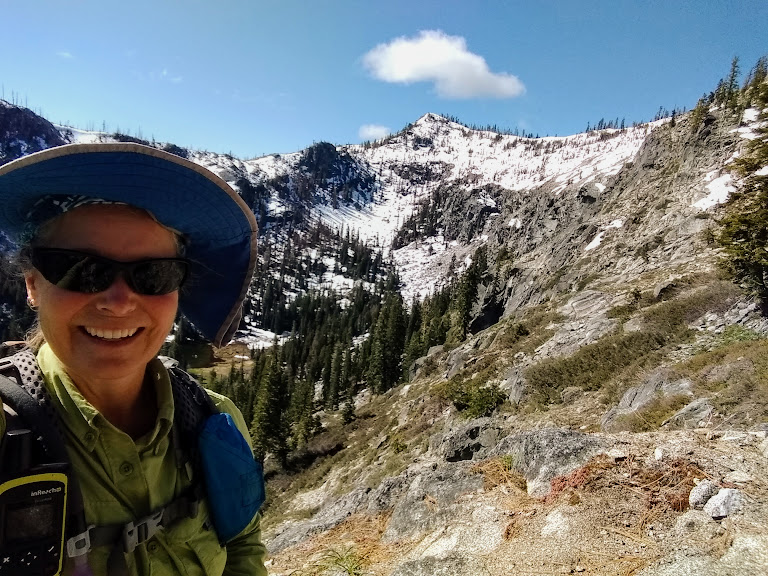
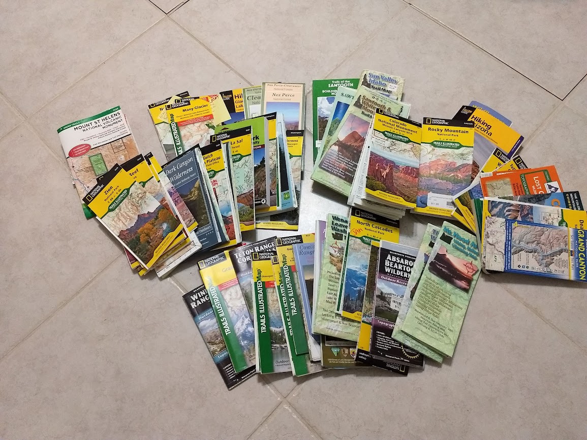
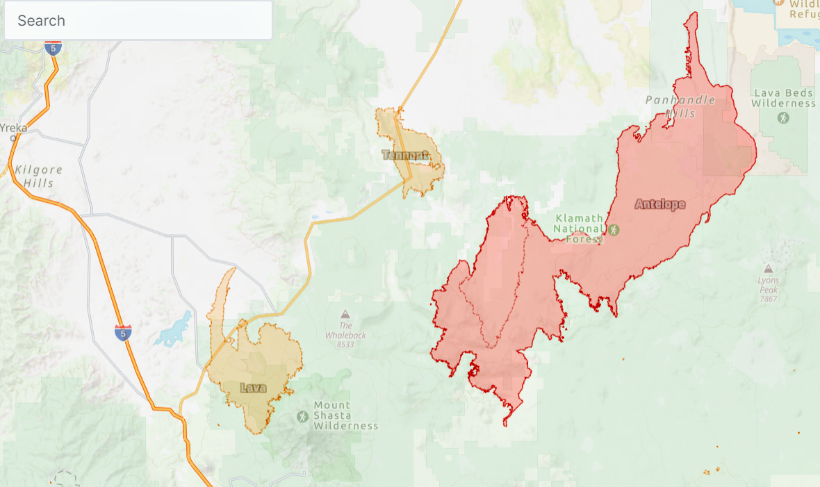
There isn’t a lot of information available about the trails in the Marbles. Thankfully I have Art Bernstein’s book, “Best Hikes of the Marble Mountain and Russian Wilderness Areas, California” written in 1996 but to date still the best resource (available at Amazon). However, since it is aging, it’s best to visit a local ranger station such as the one in Fort Jones as the Klamath Forest Service website doesn’t offer many clues either although I did find they are keeping a trail conditions report (link). Many years ago I picked up some handouts they offered. I don’t know if those are still available either. 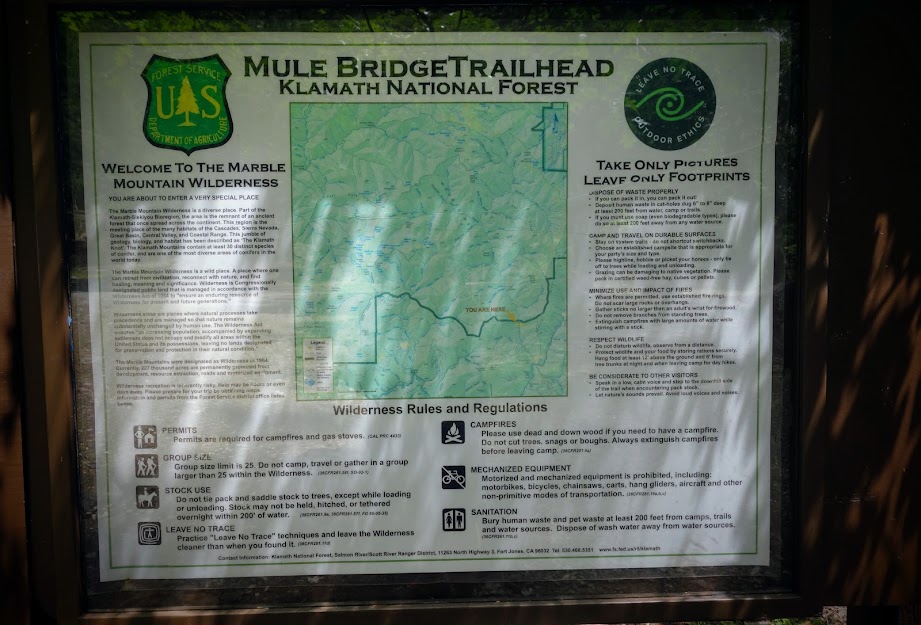
It’s a little confusing that the trailhead name doesn’t correlate with the trail name which is North Fork Salmon River. There isn’t a trail name sign nor other indicator that this bridge is the beginning of the trail. 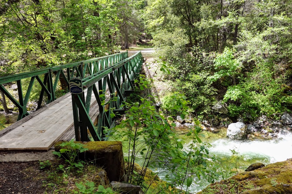
You know you’re in the right place when you see the wilderness boundary sign. 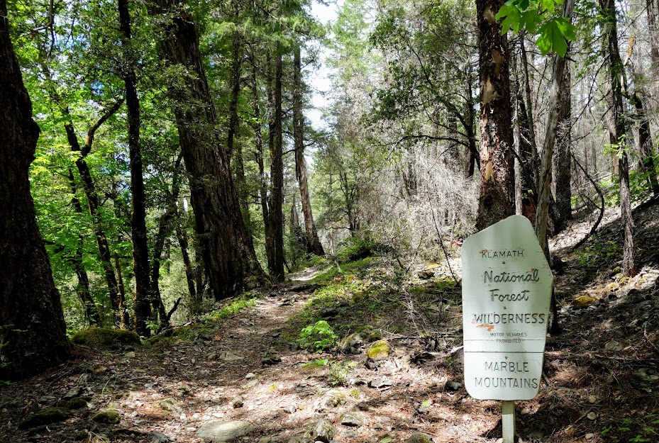
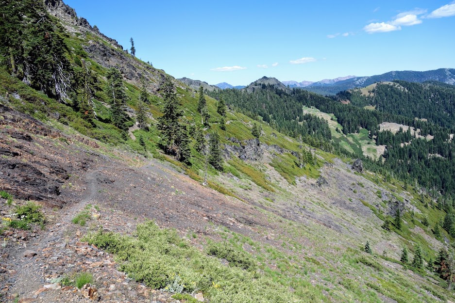
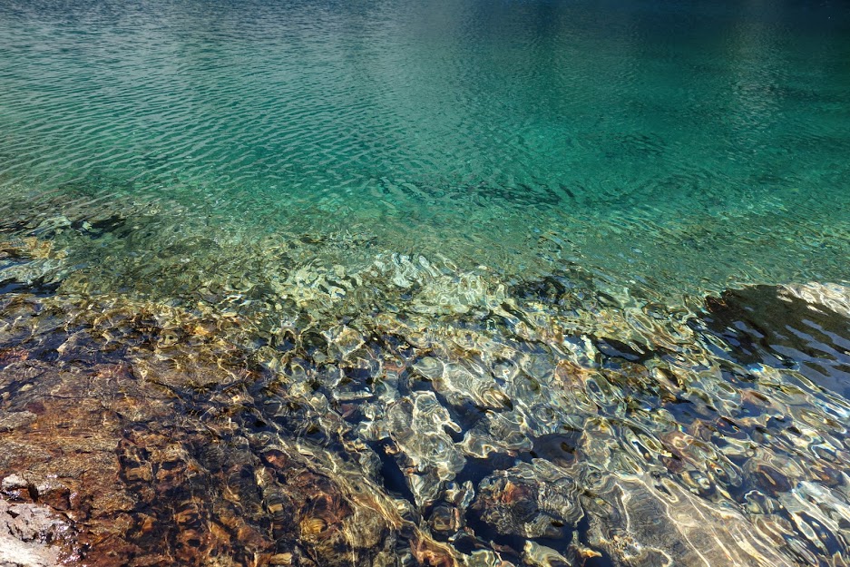
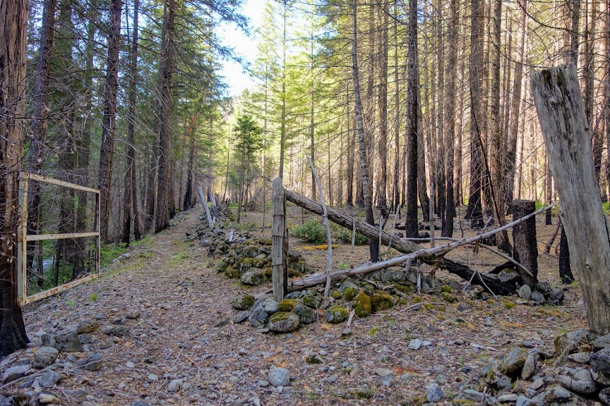
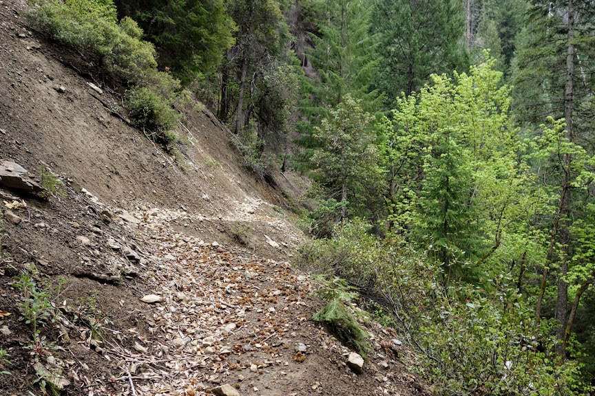
The trail is in good condition for the first few miles as it meanders along the river, crossing multiple creeks. Most of the early crossings can be easily done without getting your feet wet but later on plan for a couple that are deep and swift.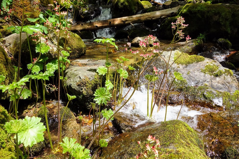
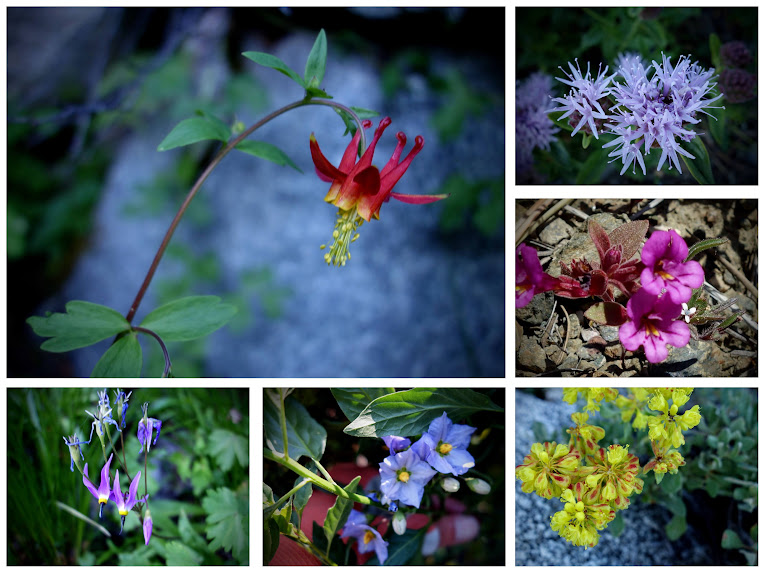
Along the creek and river was lots of Indian Rhubarb, one of my favorite flowers. 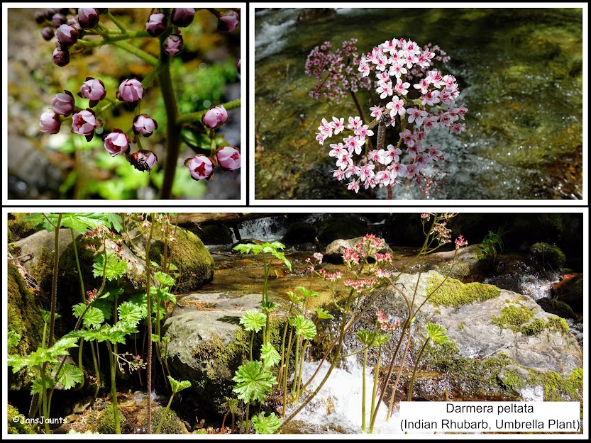
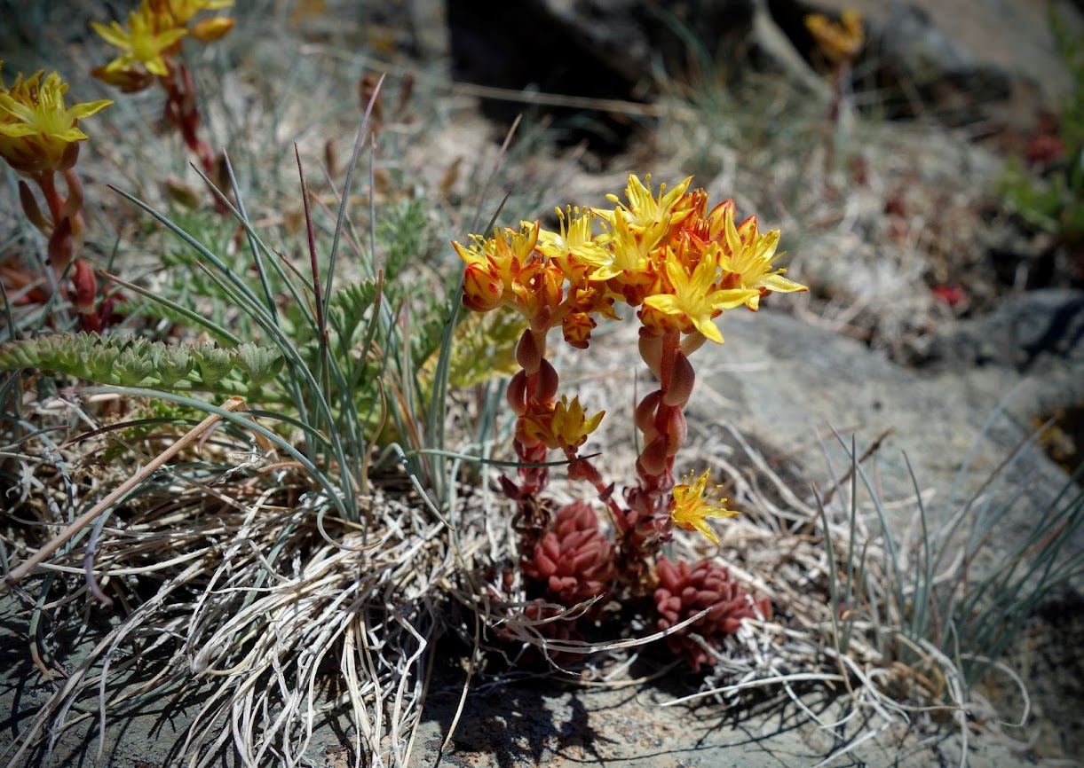
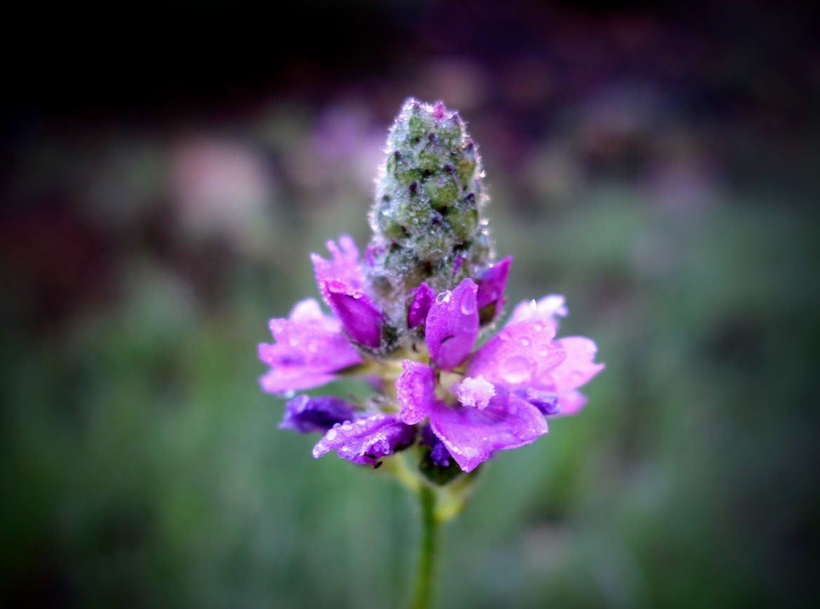
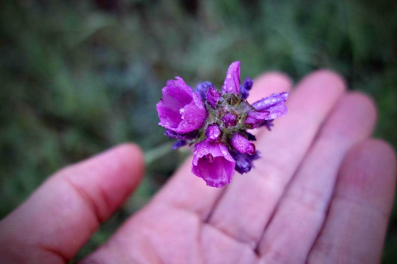
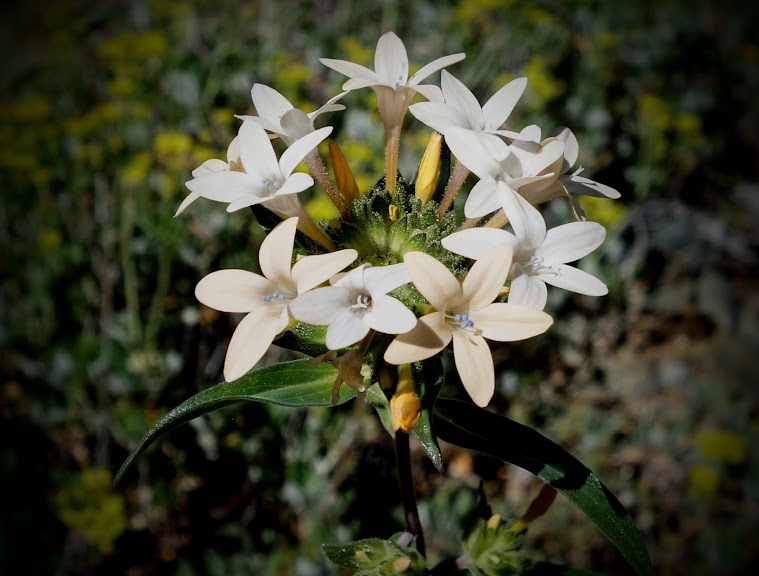
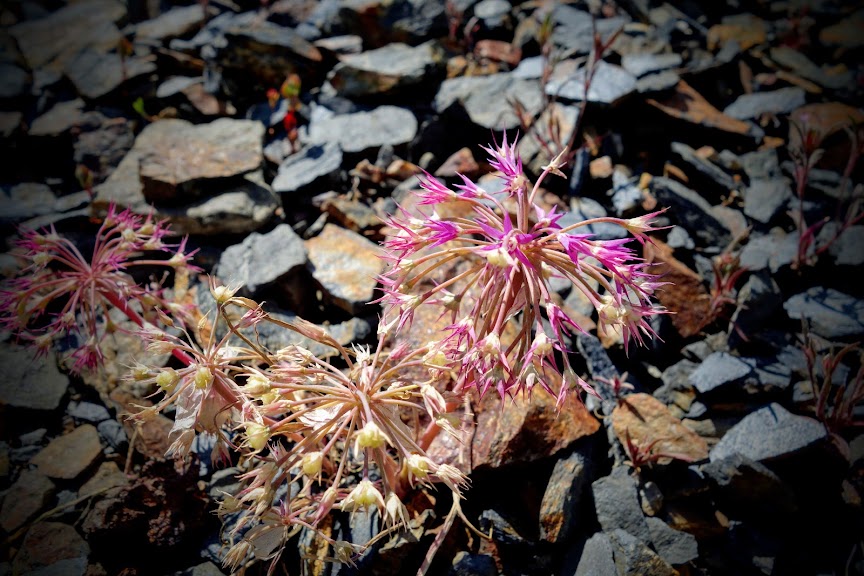
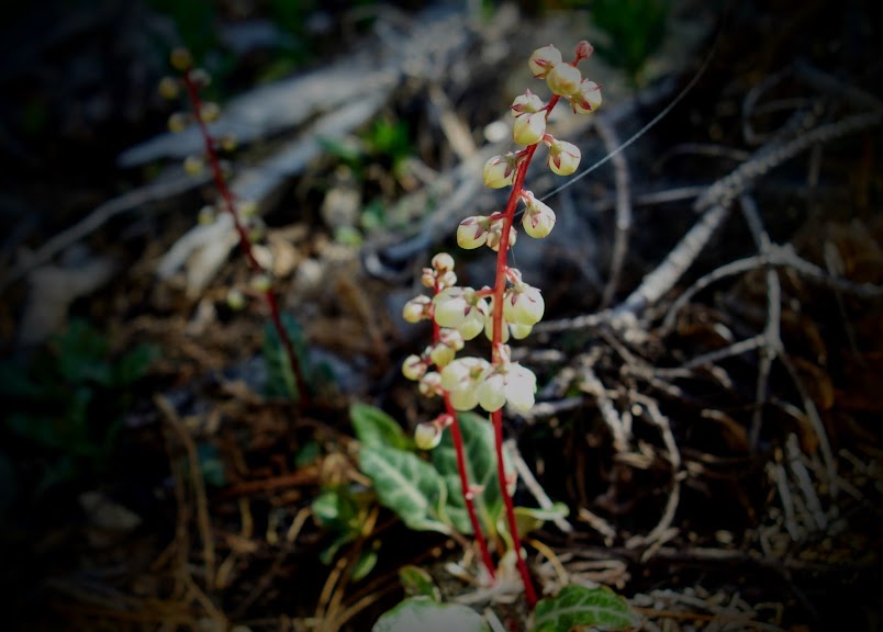
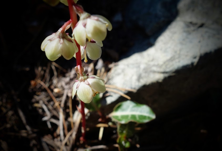
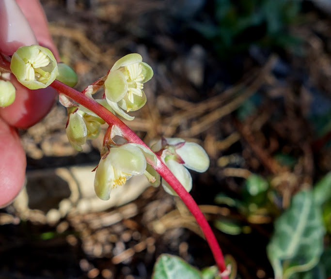
There were also plenty of other flowers like these sedum and Naked Broomrape (Orobanche uniflora).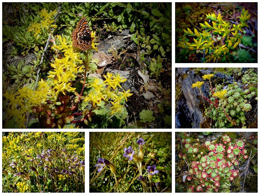
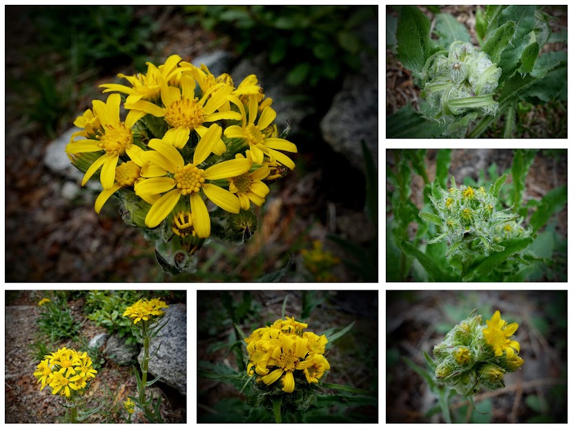
I believe these are Senecio integerrimus (aka Lambstongue ragwort, Mountain butterweed). It was fun observing them in various stages of development.
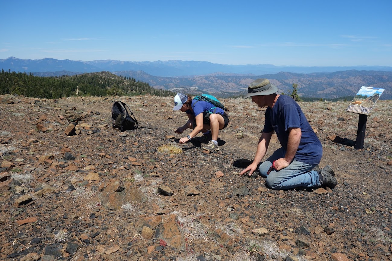
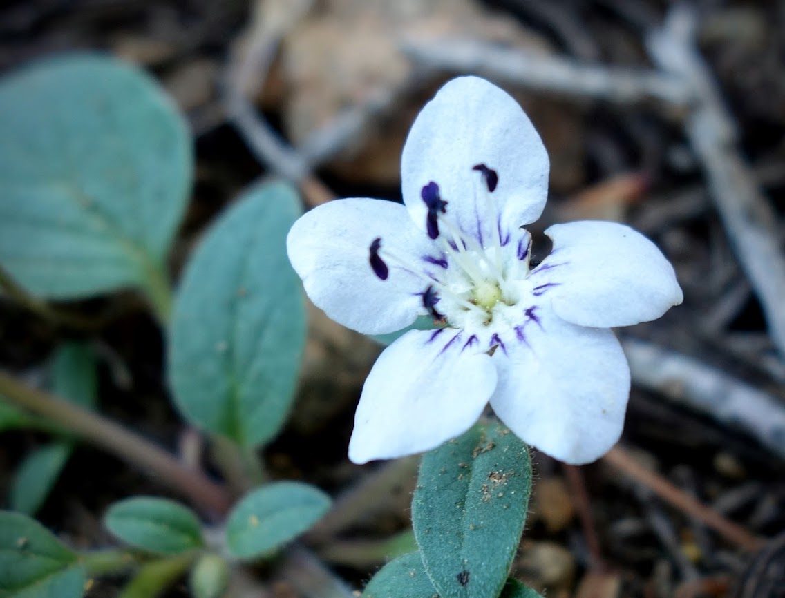
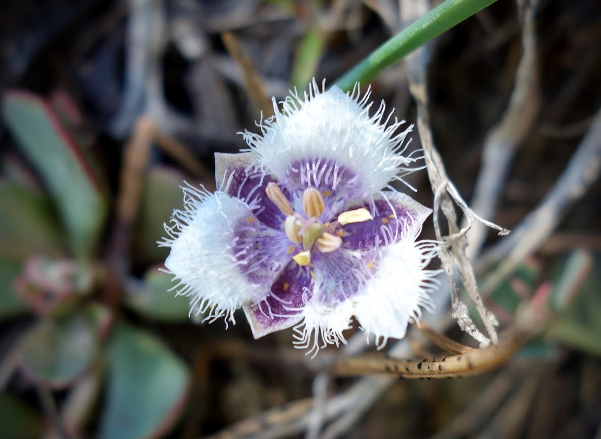
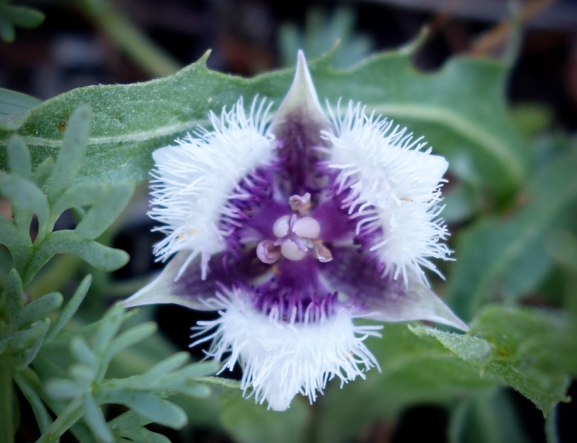
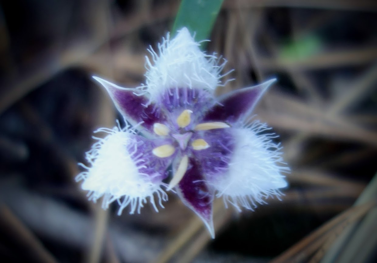
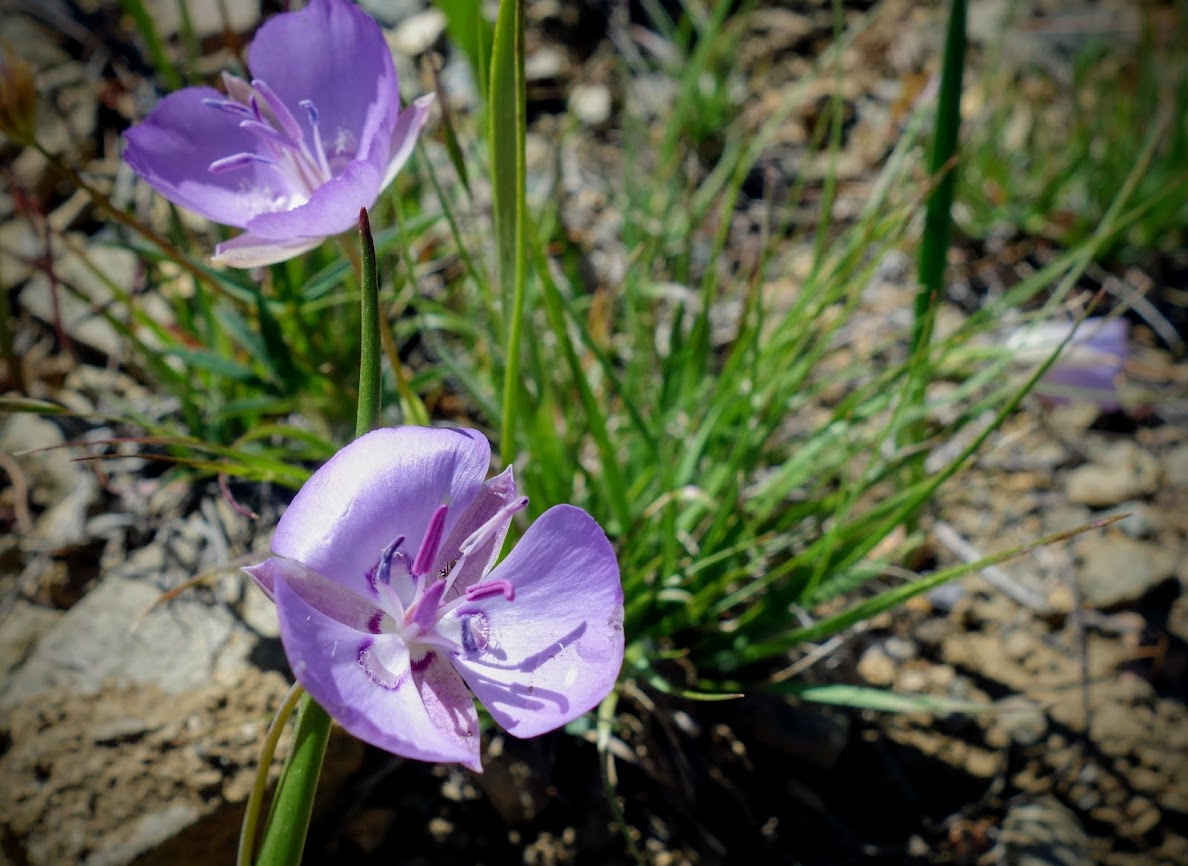
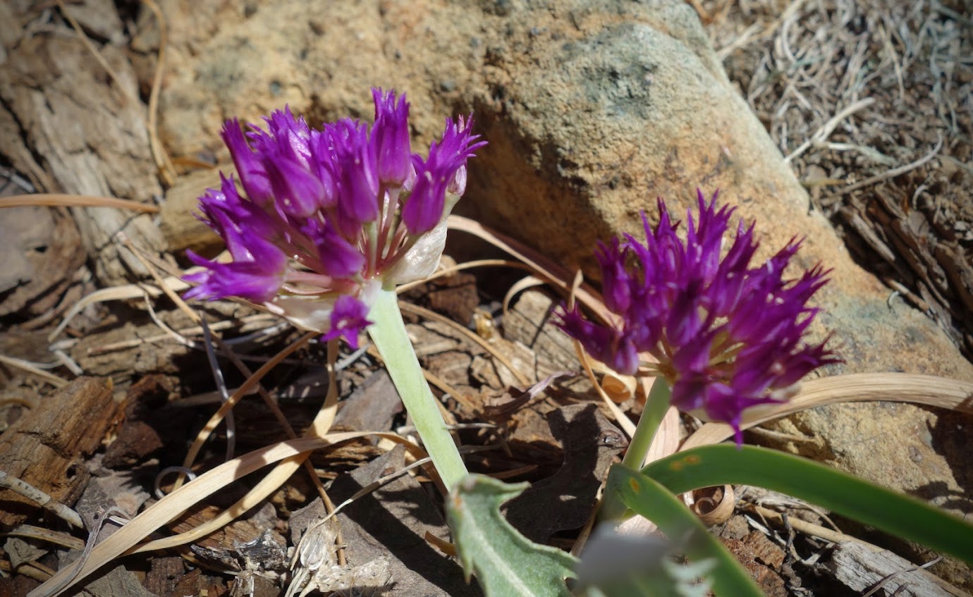
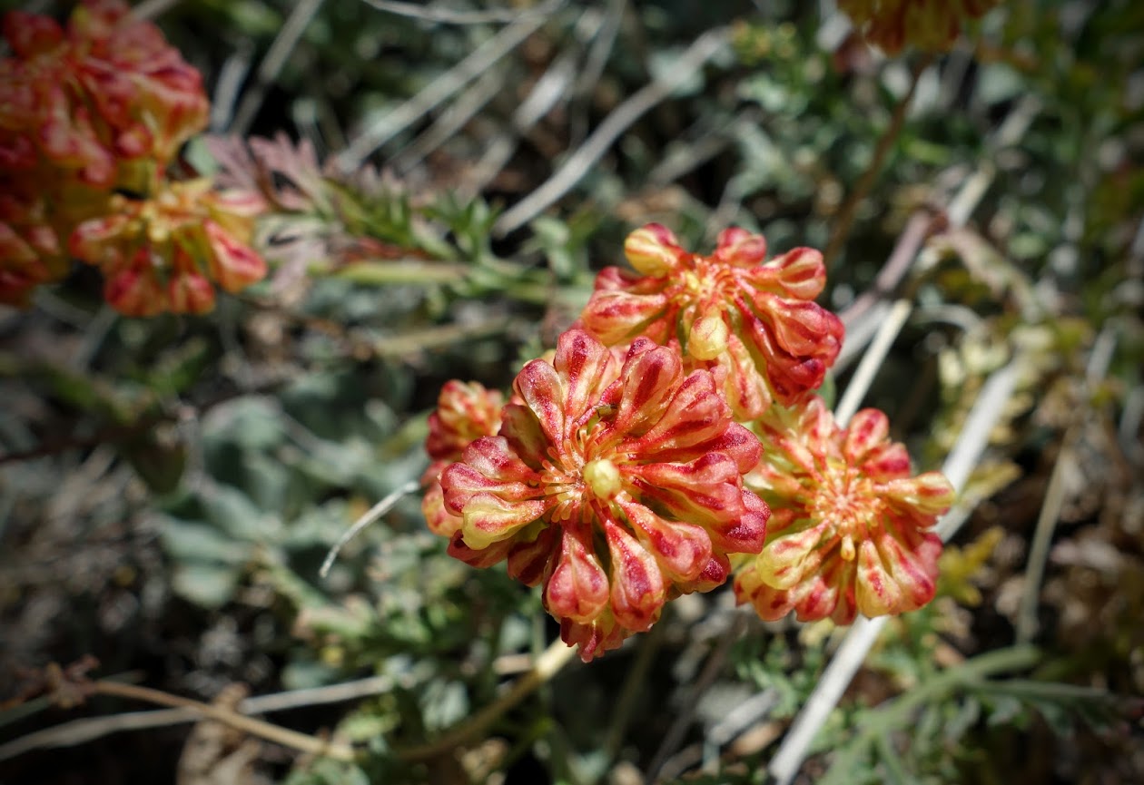
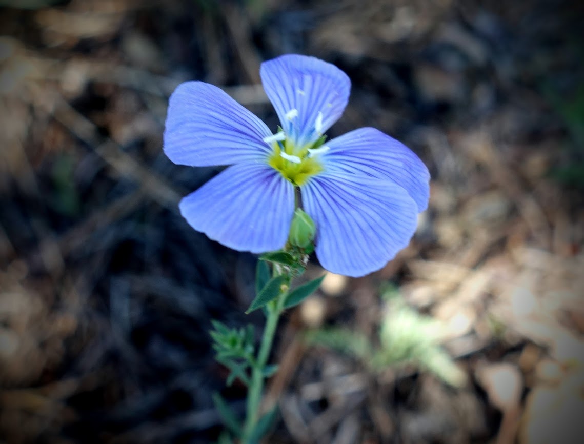
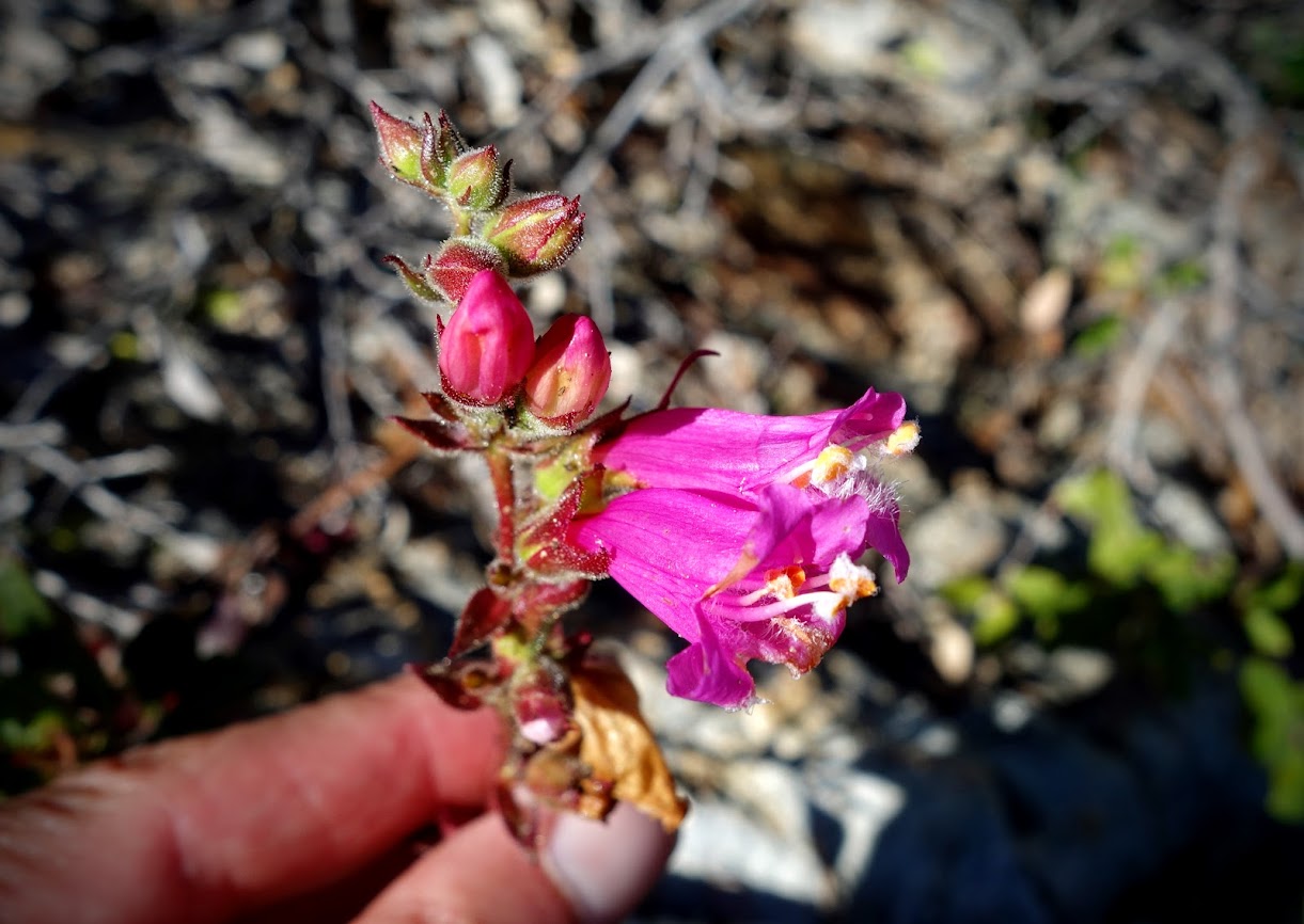
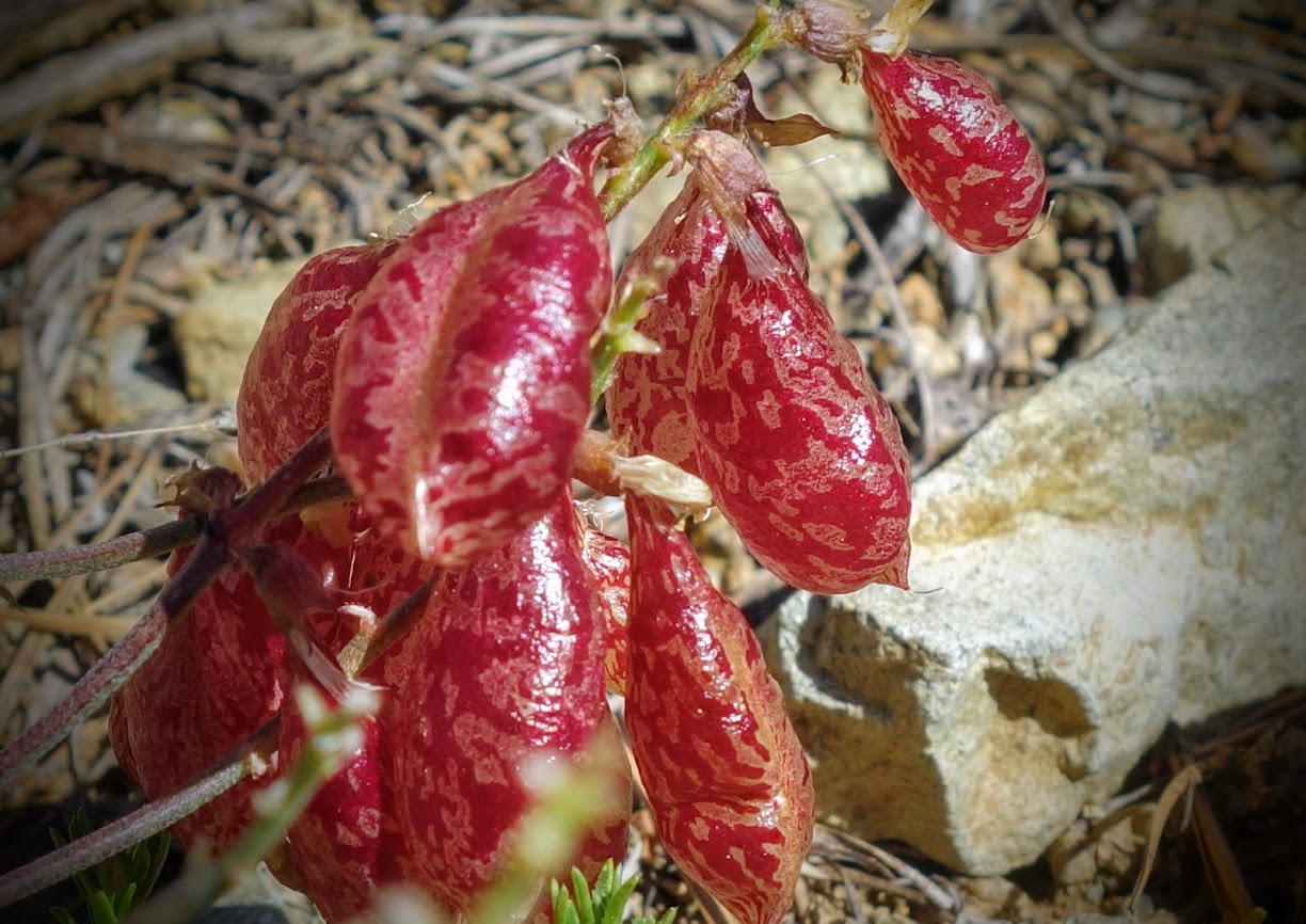
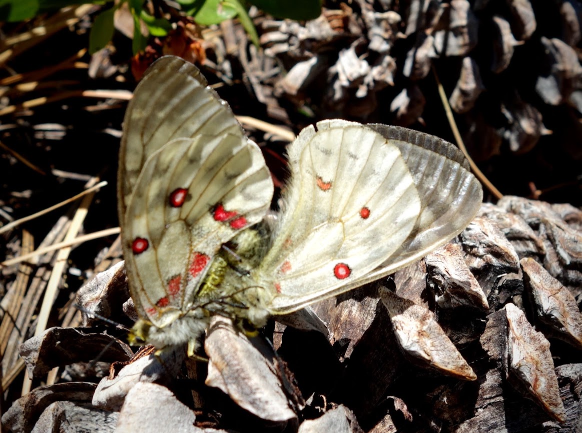
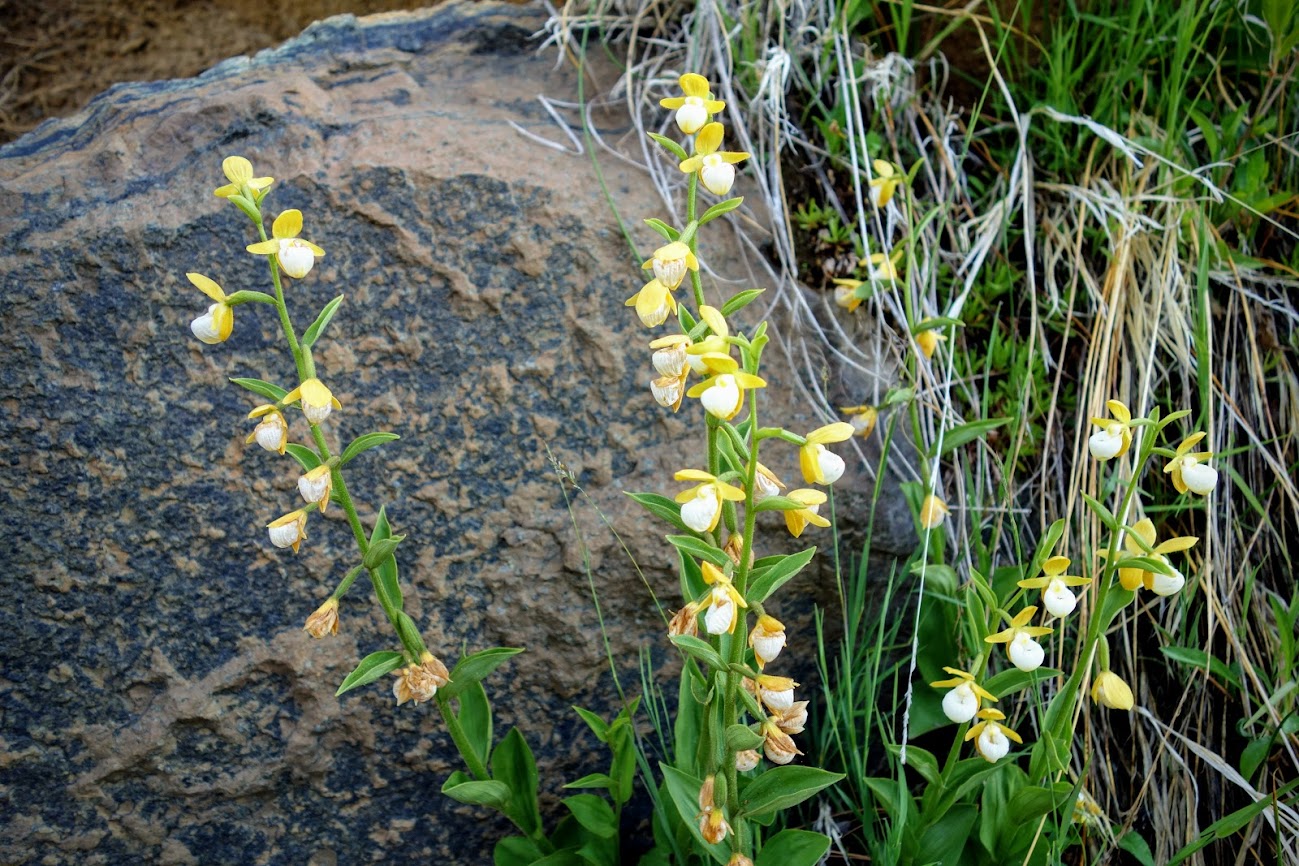
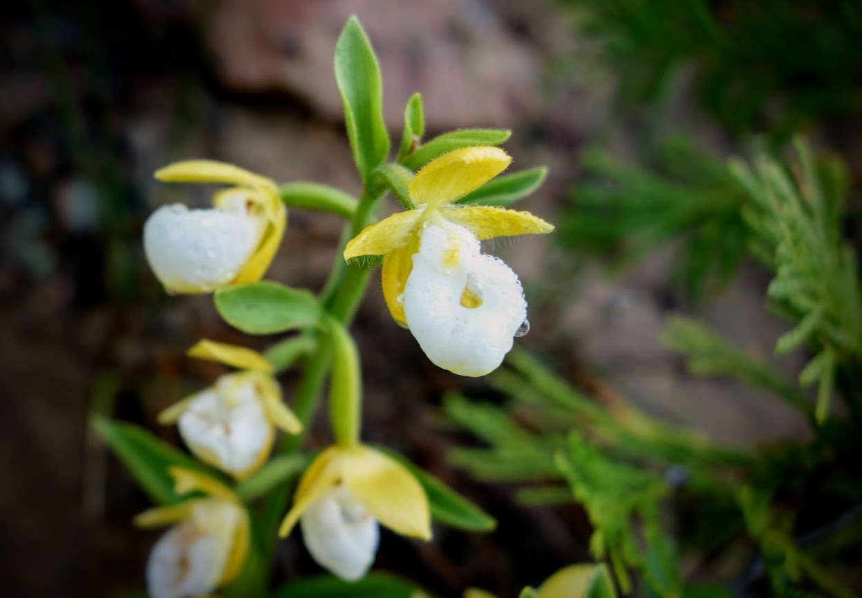
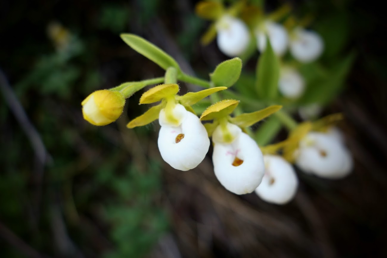
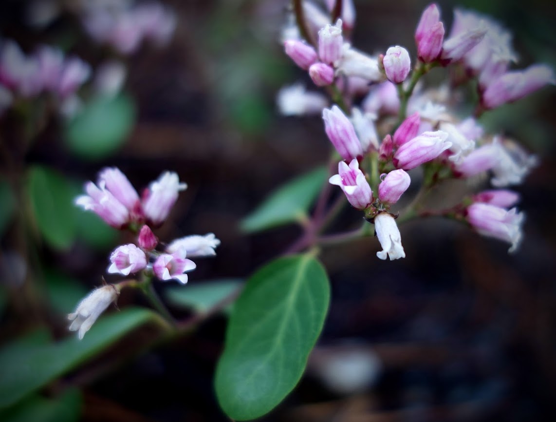
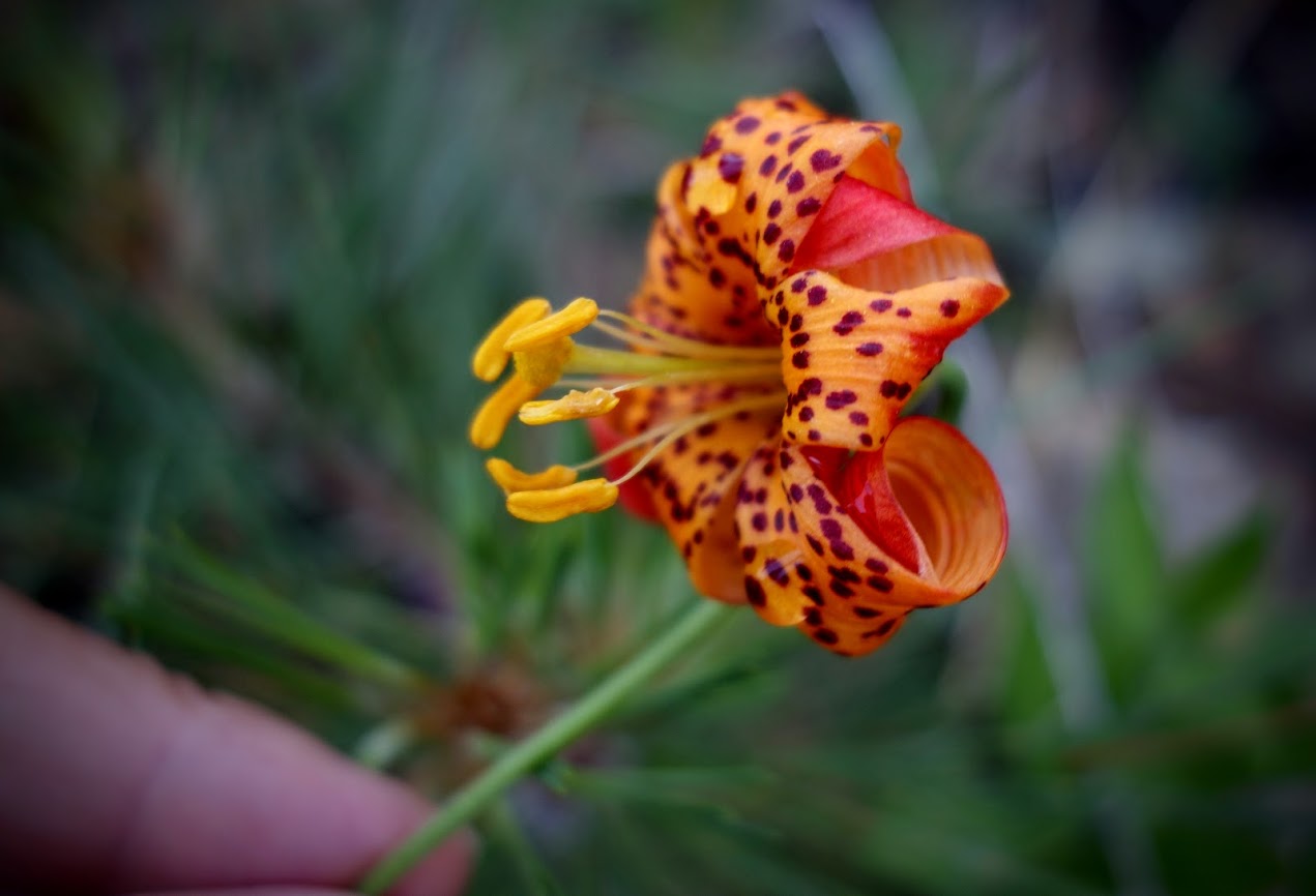
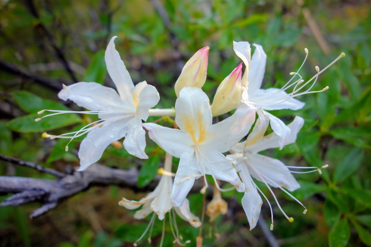
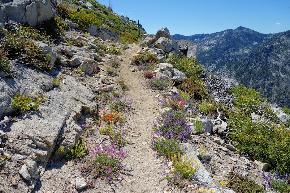
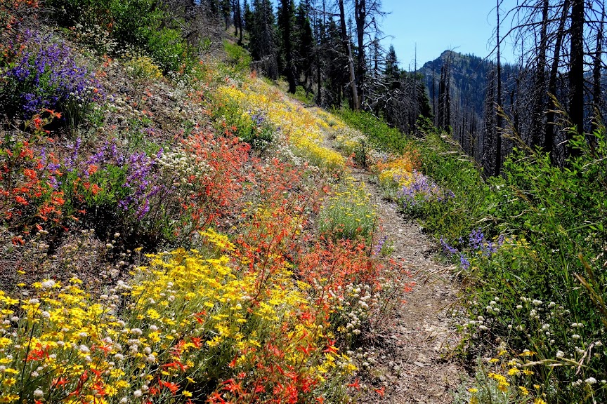
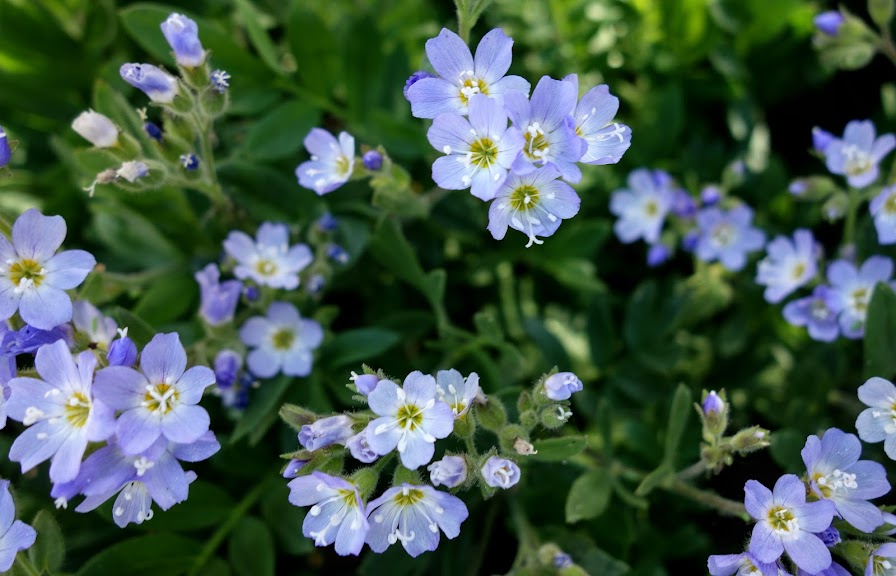
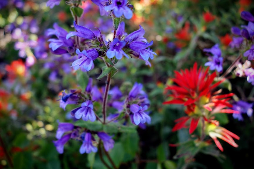
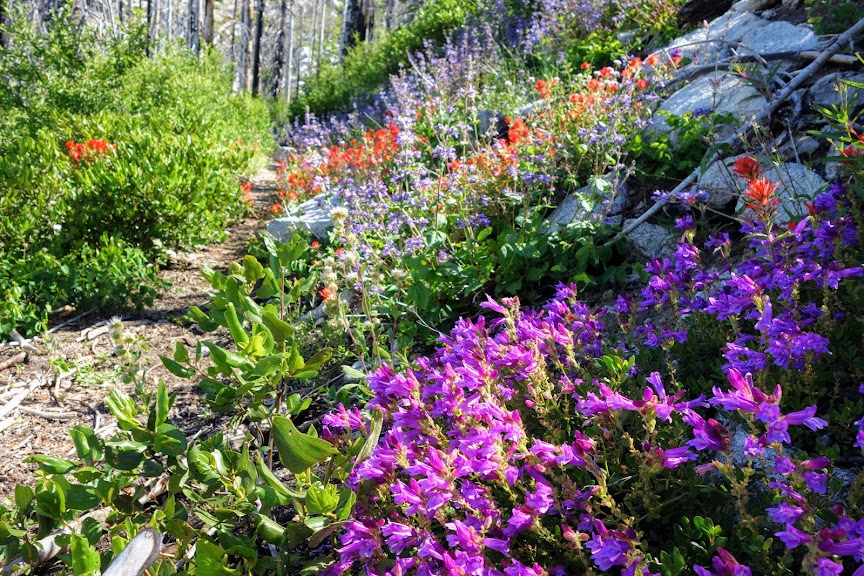
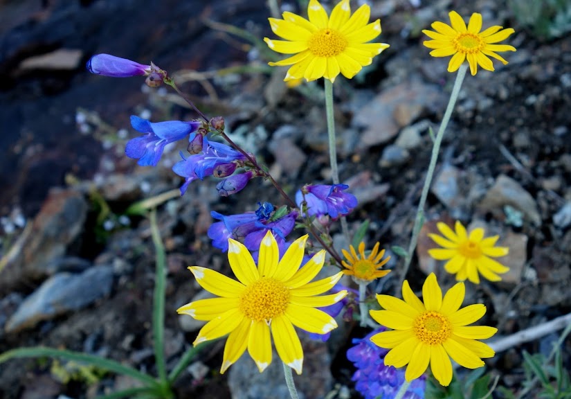
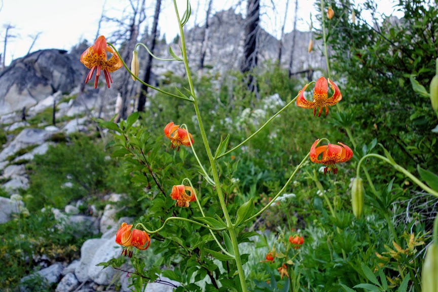
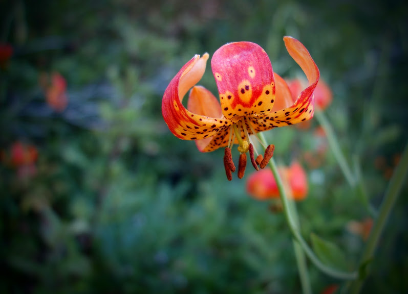
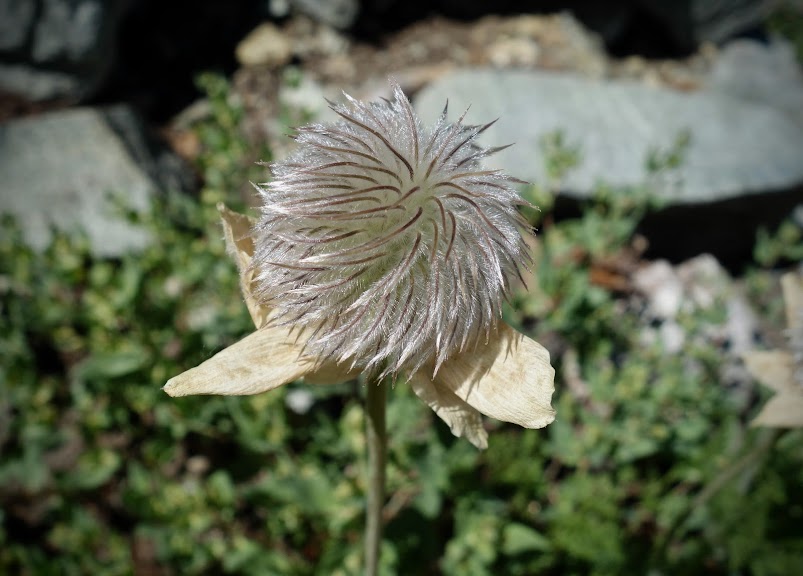
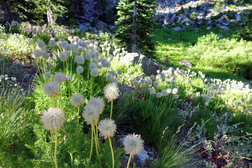
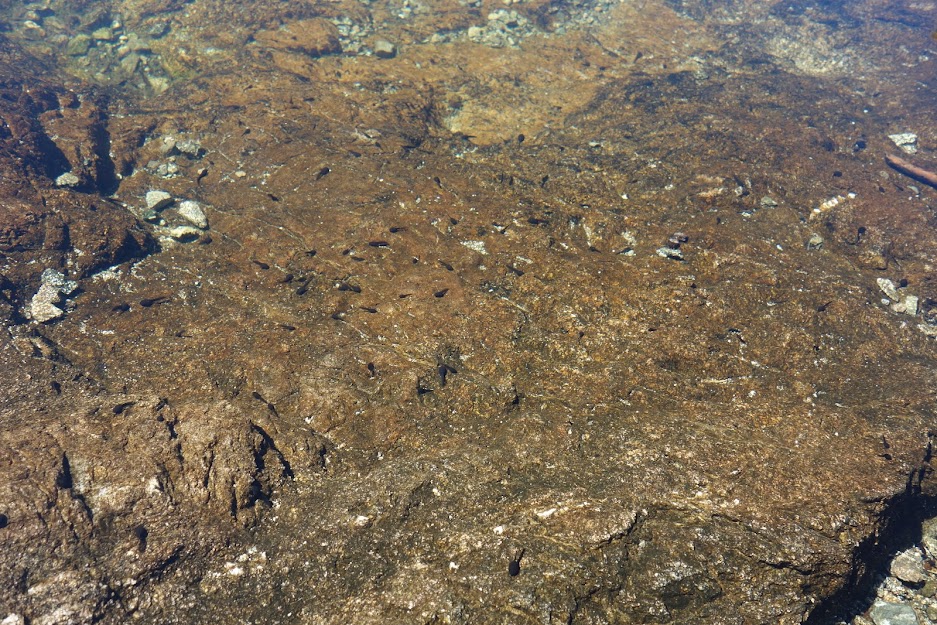
And a nice mix of so many more spring blooms with critters as a bonus. 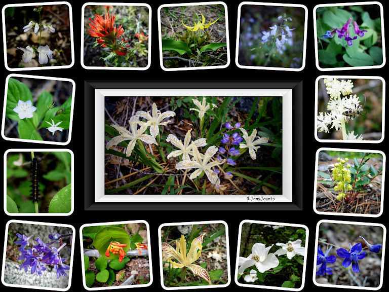
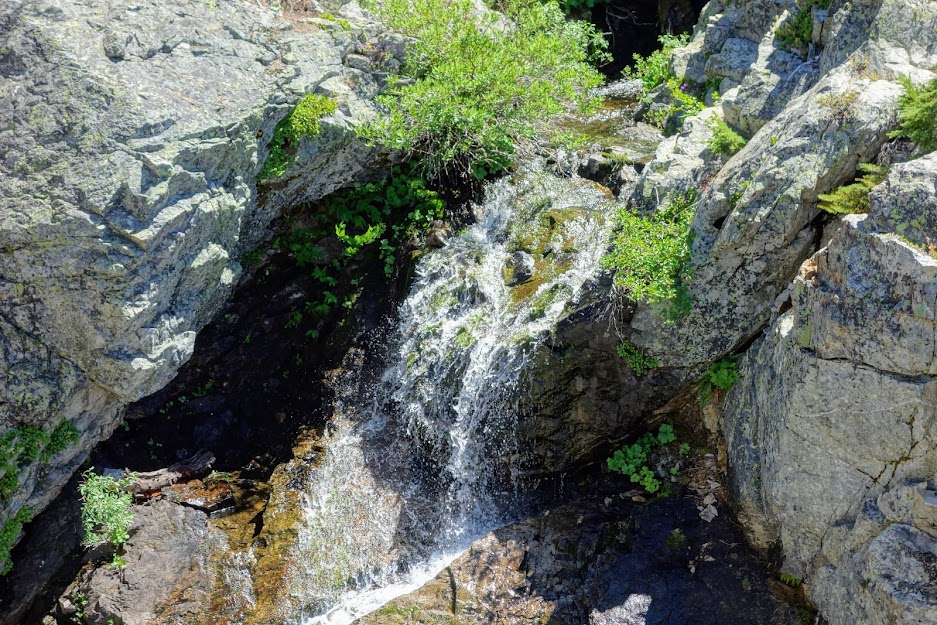
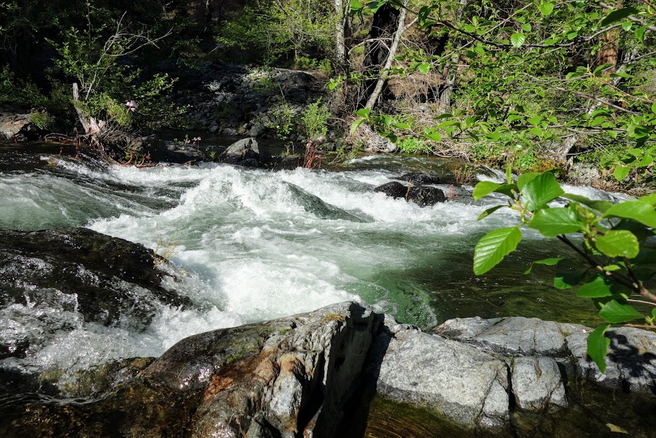
I found a perfect rocky bank for a break where I could watch the river cascading downward. Something caught my eye in that waterfall. At first I thought it was a log but as I studied it more carefully I was amazed to find a river otter. What a treat to watch him bob up and down and gracefully power past me. No photos only the memory of this moment. 
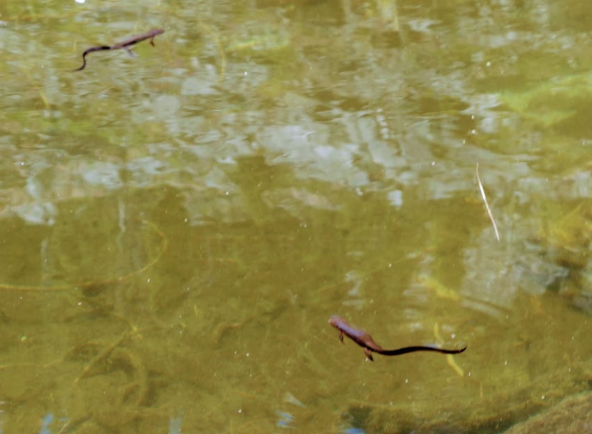
While sitting on this special rock, I had a couple of visitors. I couldn’t figure out why they were so inquisitive and hanging out within inches of me until I noticed a new hatch of some type of insect. They were having a feeding frenzy. 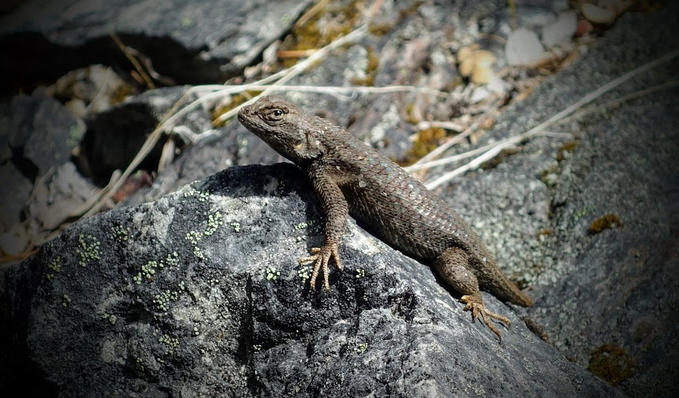
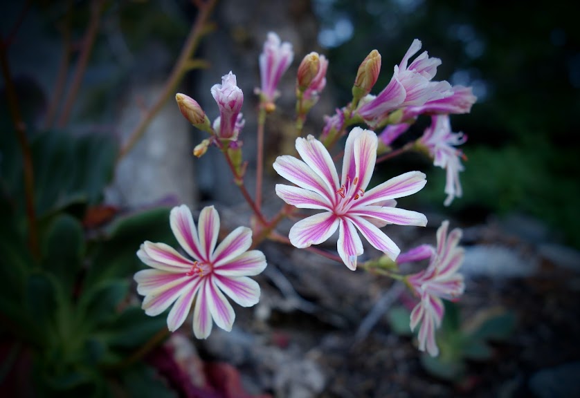
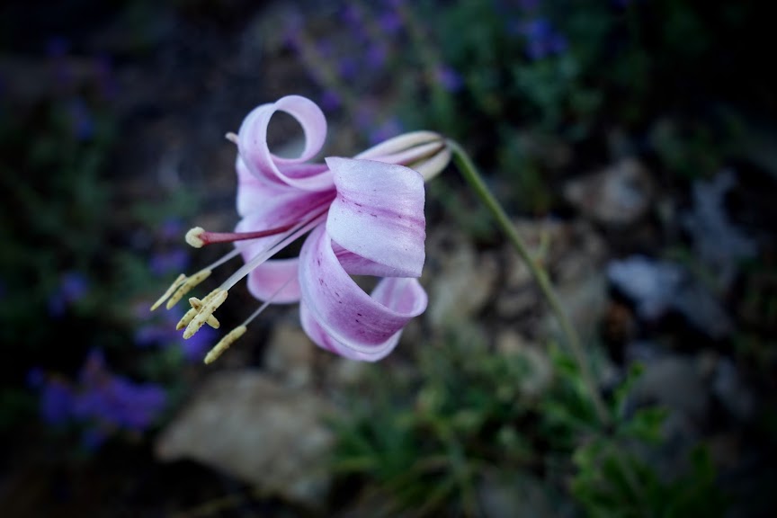
It was also on this rock where I found a large distribution of Siskiyou Lewisia.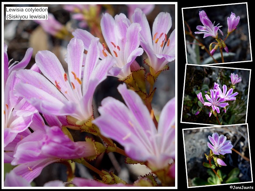
It took me about 3 hours to reach bridge #2, the last of the easy dry-feet river crossings. 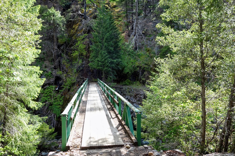
Fire, age and neglect are evident at Abbot Ranch. 
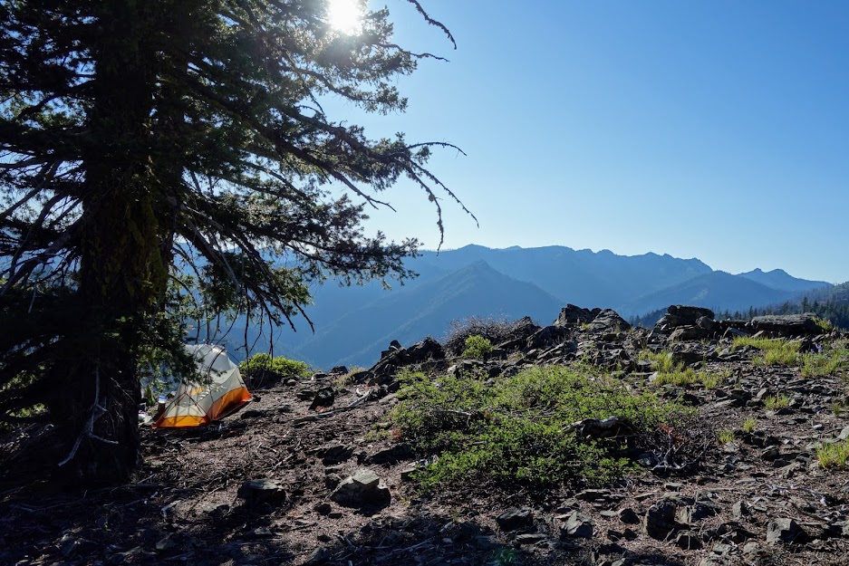
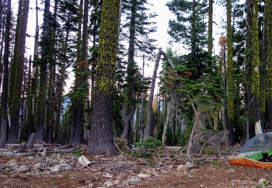
At 6.5 miles from the trailhead, this sign marks the junction of Right Hand Fork, which continues to Shelly Meadows requiring a water crossing, much too swift this day. In fact I couldn’t easily determine where the path continued on the opposite shore. This area includes several well used campsites, one which I called home. 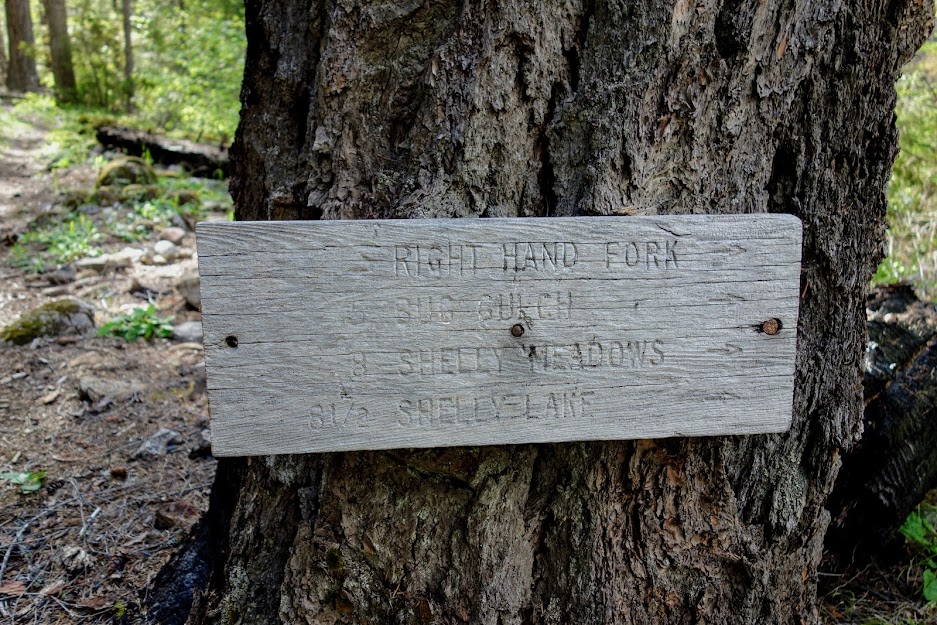
The deer used the nearby trail for quick access to the water. They were curious but not deterred by my presence. 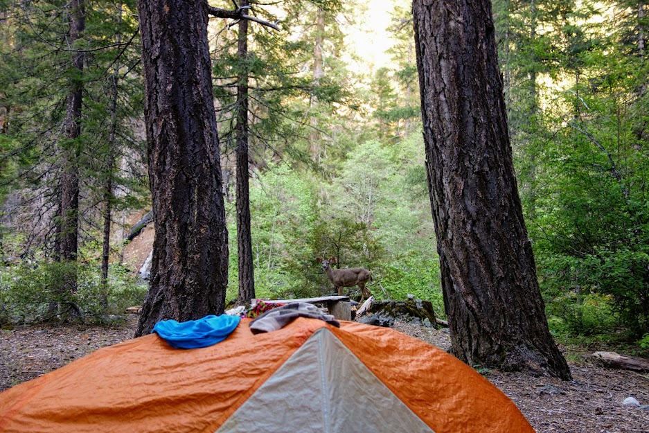
The next morning, back at the junction, it was time to continue going north/northwest along the North Fork of Salmon River. 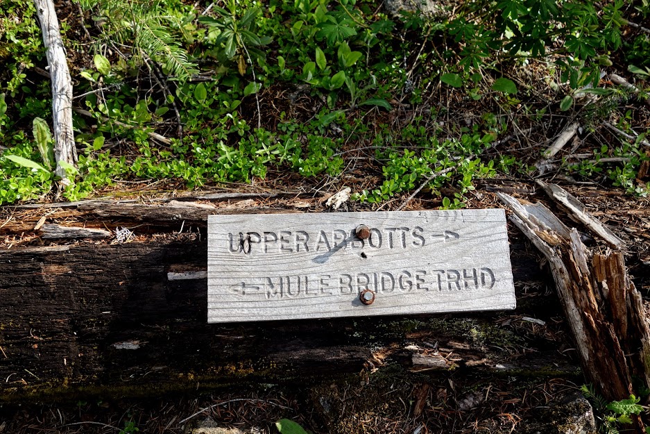
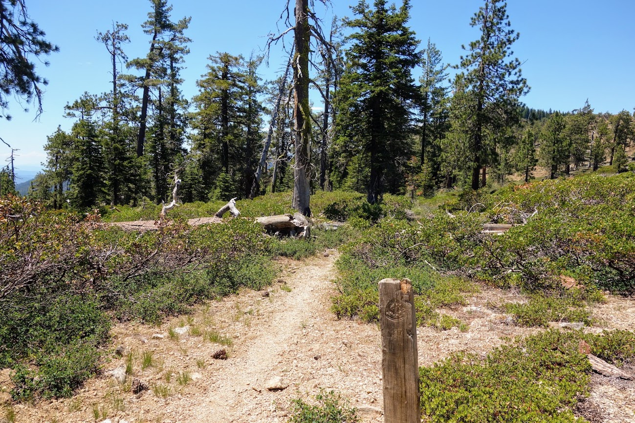
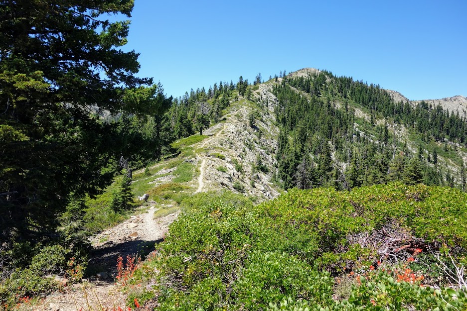
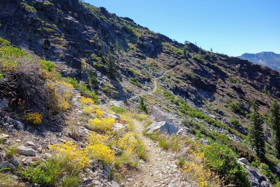
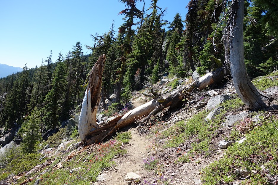
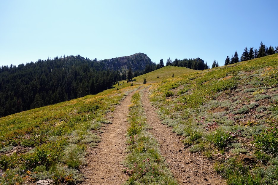
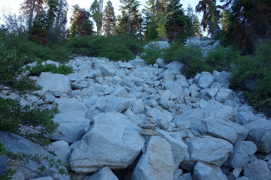
It didn’t take long to find much different trail conditions with some of my favorite obstacles. 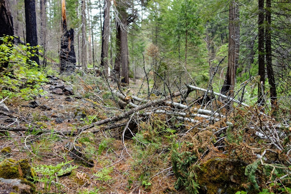
Water crossings went from ankle to crotch deep with at least two being through swift water. 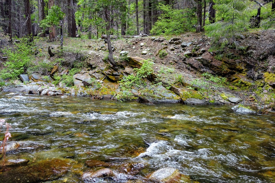
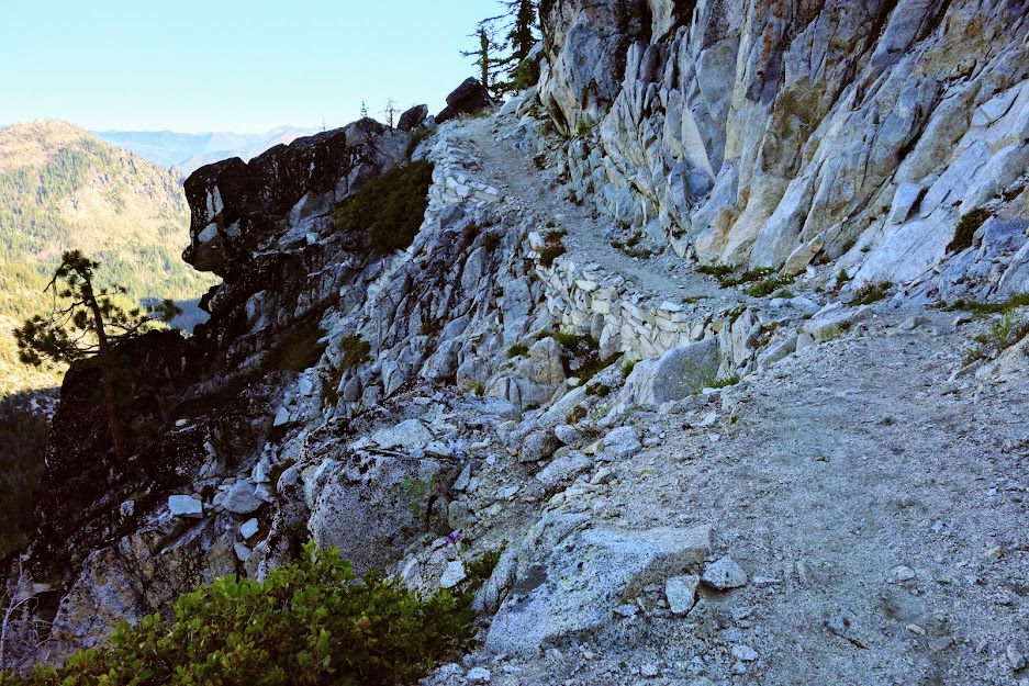
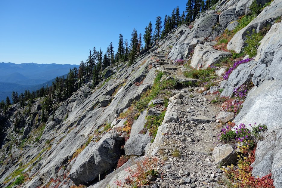
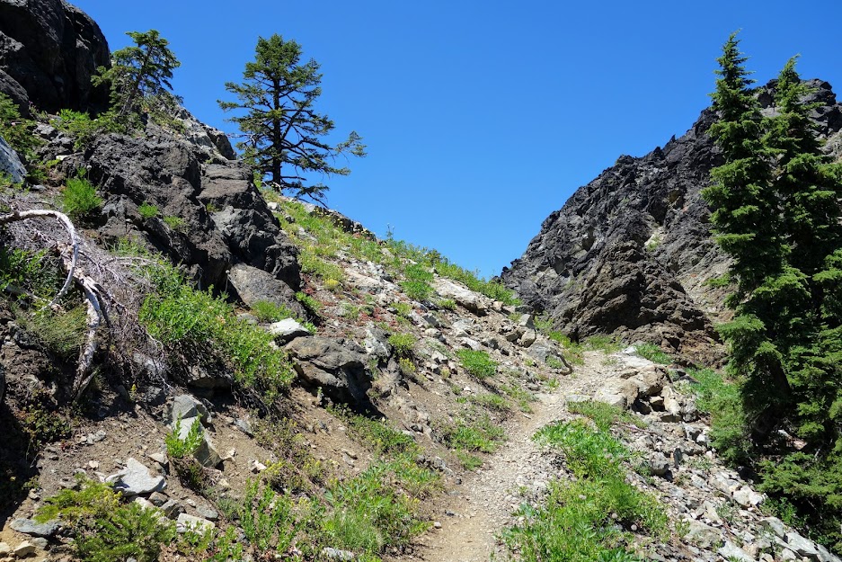
There were a couple of sections of trail with fairly serious drop-offs. The trail was sufficiently level and wide, although it might make some hikers and livestock nervous.
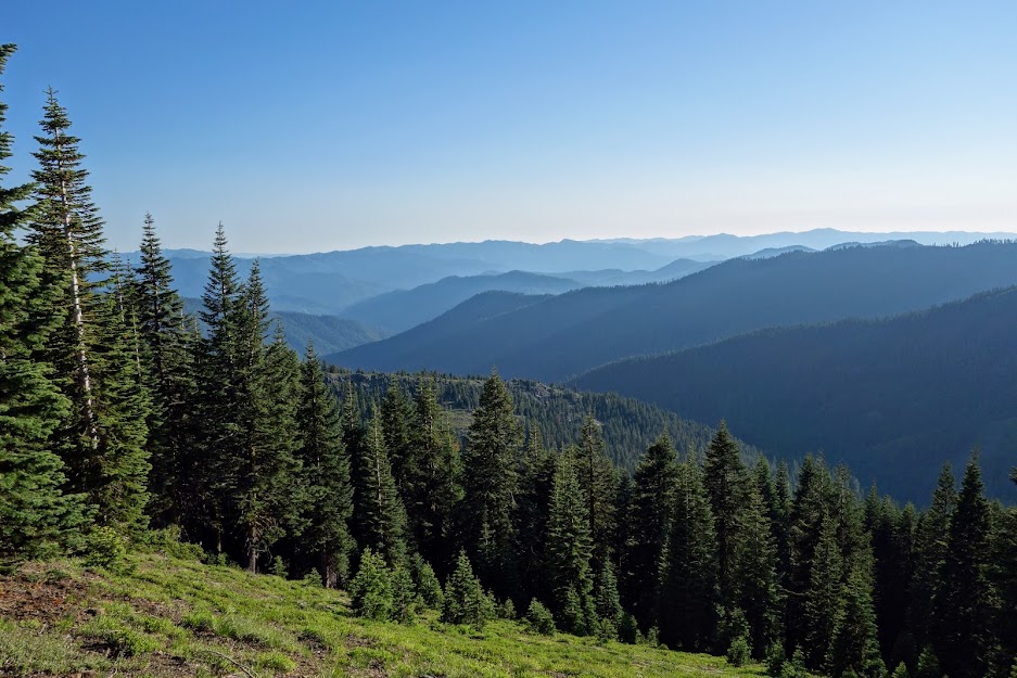
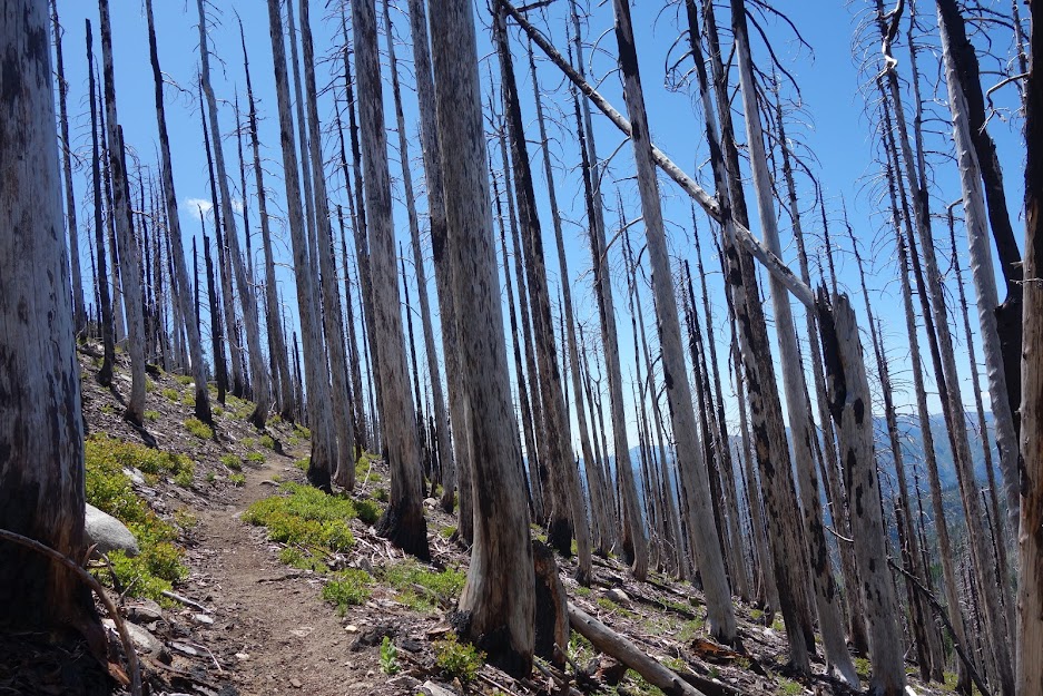
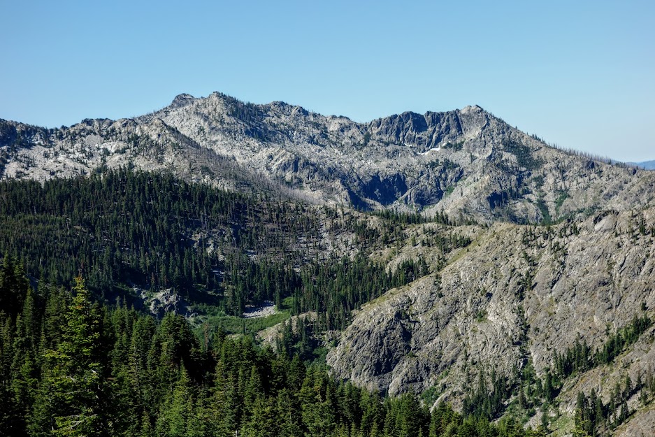
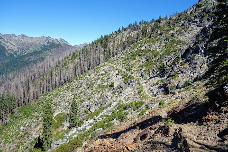
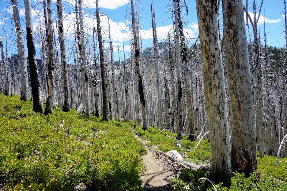
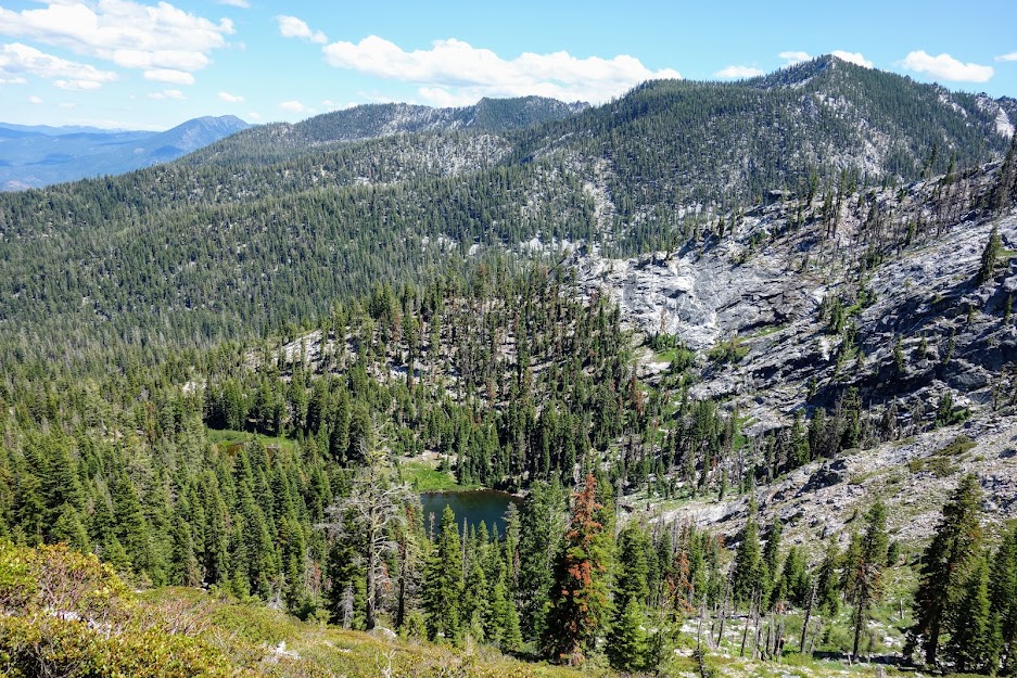
The forest was a mix of some mildly burned areas to other more severe areas. These burned areas limit potential camping in otherwise topographically friendly zones bordering the river. 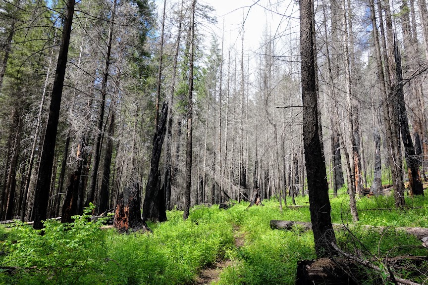
I saw quite a bit of fresh bear scat and activity, but no bears during this visit.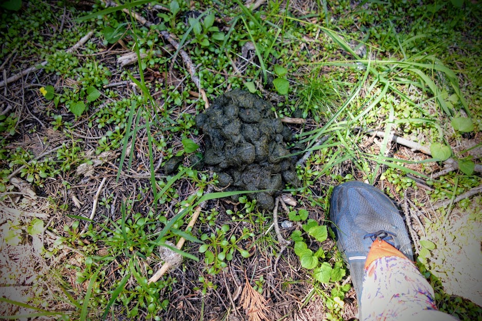
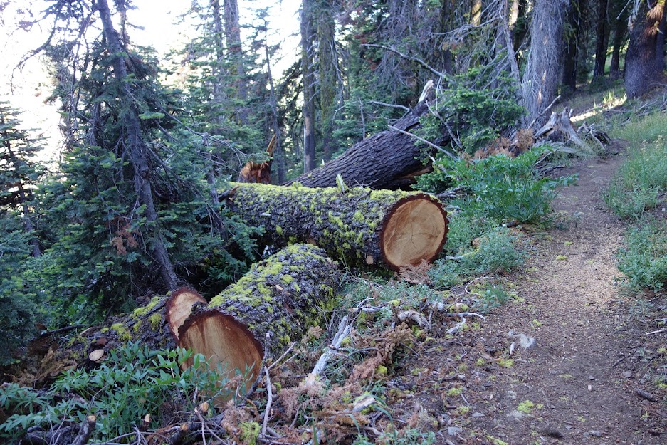
Knowing horses use this trail makes me happy as they help remove the down trees and maintain the trails for equestrian safety. 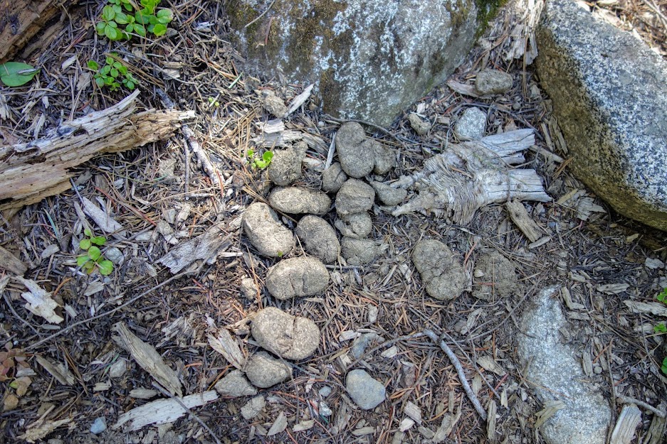
With the recent burns, conditions seemed right for morels. I believe a permit is required to harvest from the wilderness. 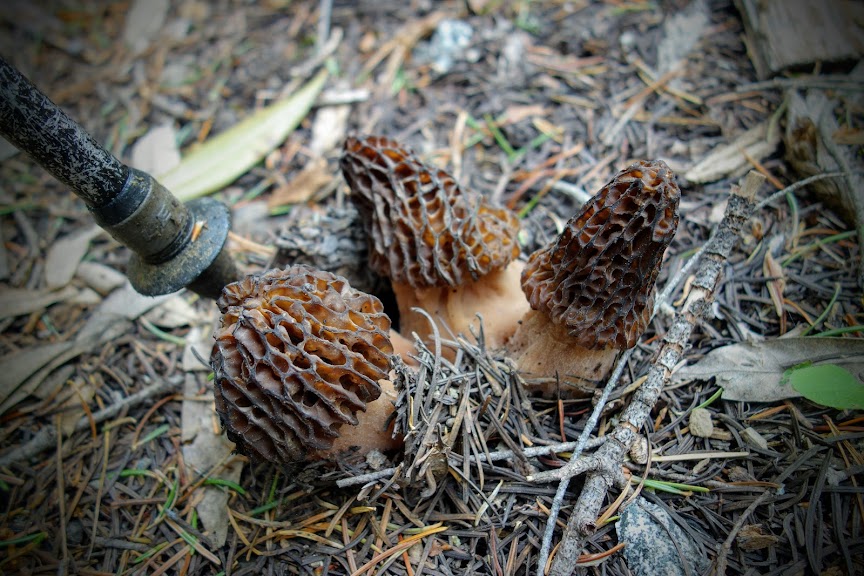
This was an unusual white or albino mushroom/fungus. 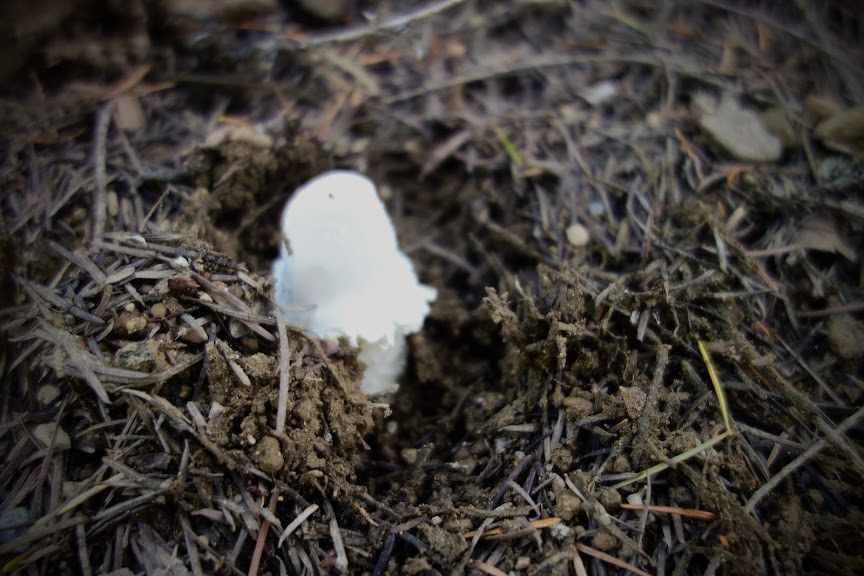
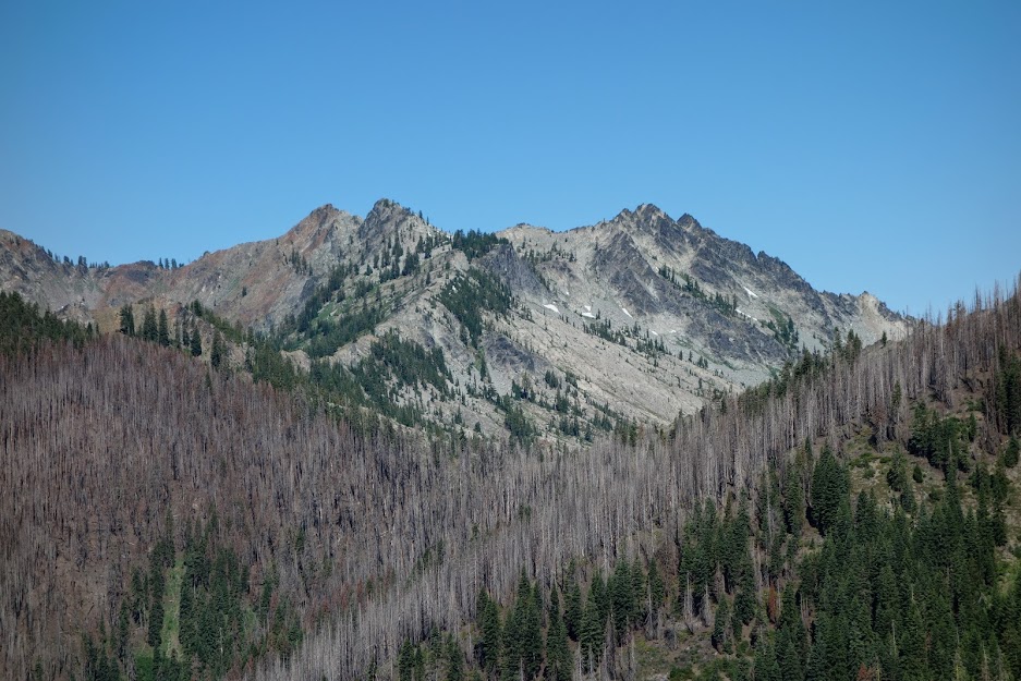
The actual signed location of the Lake of the Island trail junction is nowhere near where it’s shown on USGS digital map. It’s quite a ways further west and 11 miles from the trailhead. There’s an unsigned light use trail near where it shows on the map. I didn’t explore but guessed it was to a campsite. The trail is more properly placed on the USFS map. 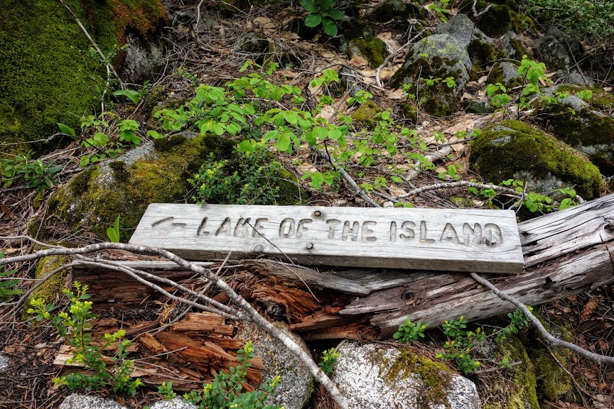
The Abbot Lake/Wooley Creek junction was a better match to the digital map at 12.25 miles from the trailhead. It too is signed although the trail to Abbot Lake was not evident as it begins through a grassy meadow. 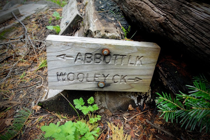
This way to Abbot Lake.
This way to Wooley Creek and several lakes including Horse Range and Wild Lakes as well as Lakes Katherine and Ethel. In the guidebook this is referred to as the Big Meadows/Bug Gulch Trail. 
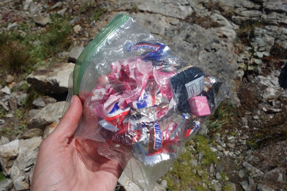
There is a well used campsite at the junction where I found some leftover utensils and this saw which I considered taking for trail maintenance. My pack was heavy with 6 days of food, so I decided to reconsider as I exited. 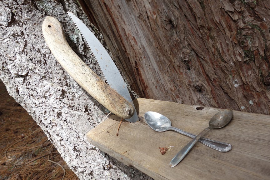
My next objective was English Lake and then hopefully English Peak. 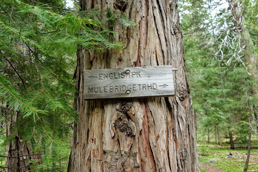
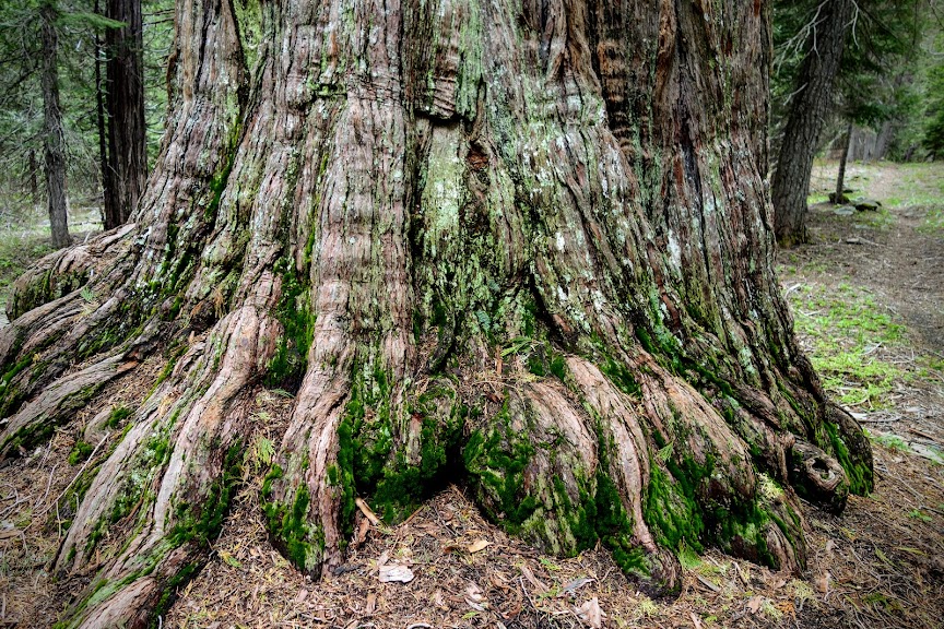
I loved this big old tree, which I believe is incense cedar. 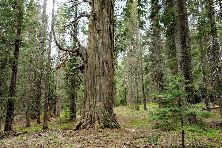
It was impossible to resist taking a break on top of this huge piece of rock. I was looking forward to a possible view. 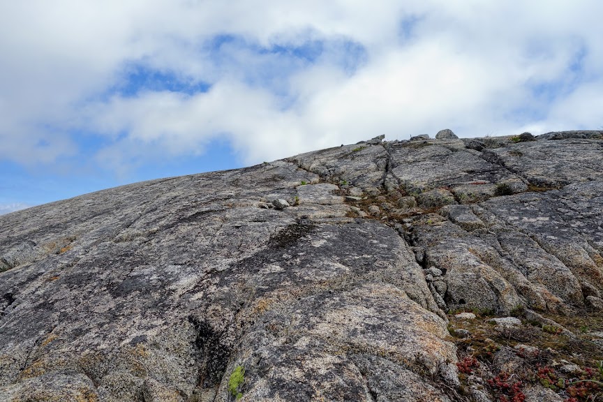
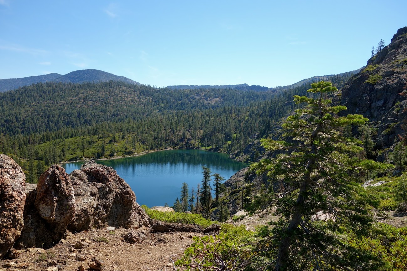
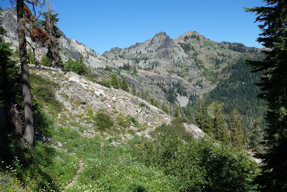
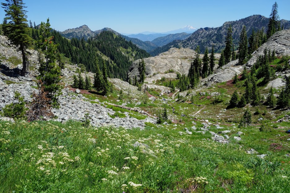
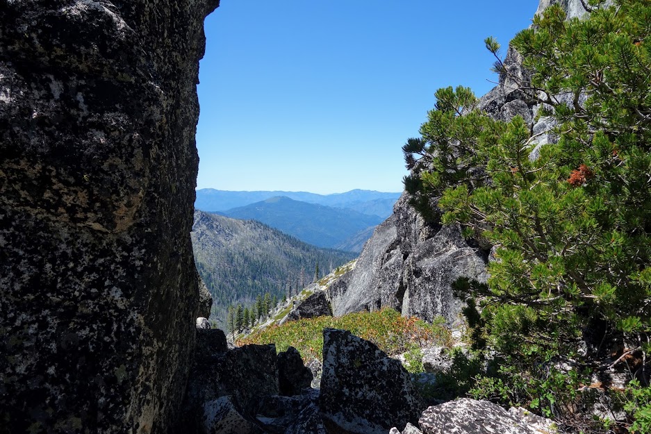
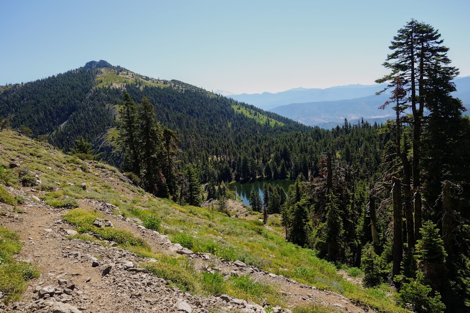
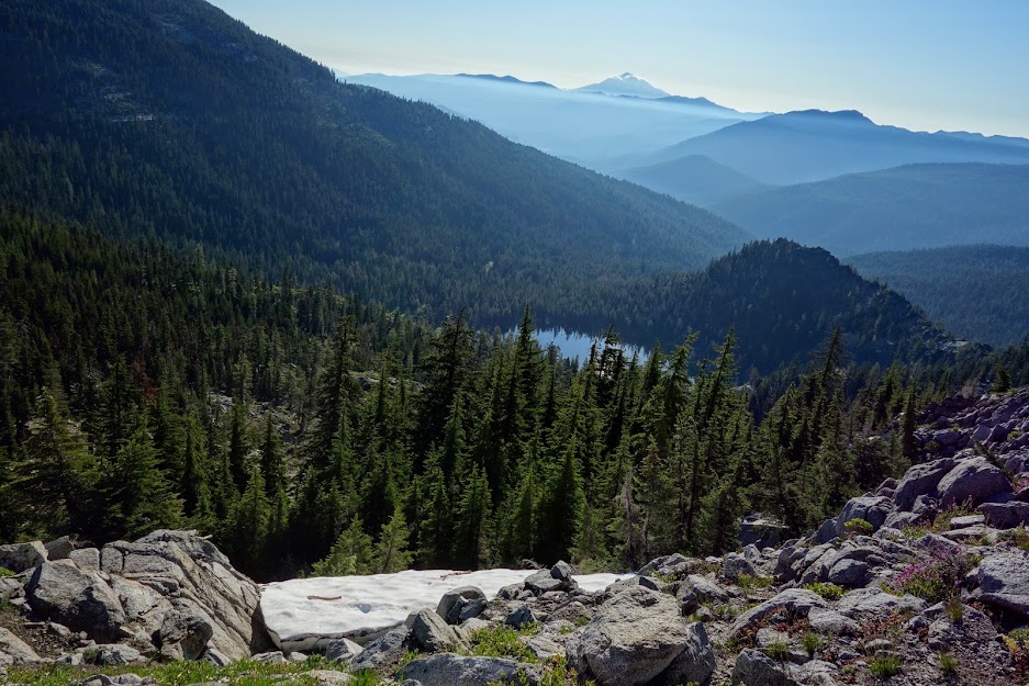
And views I found! Looking back toward the trailhead. 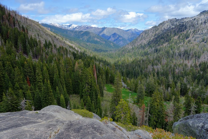
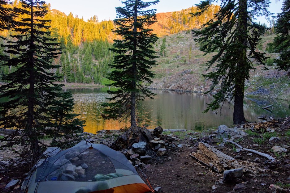
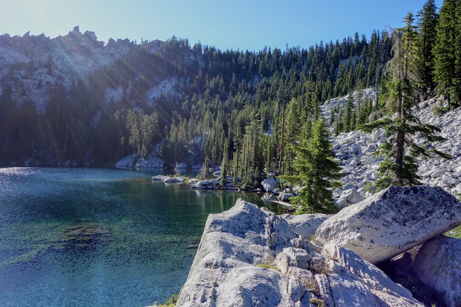
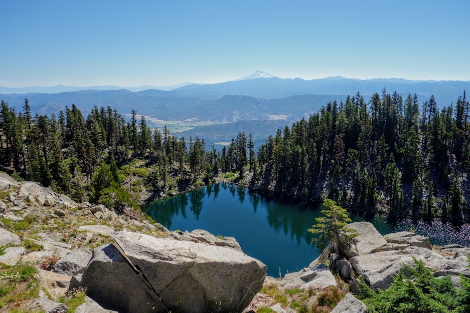
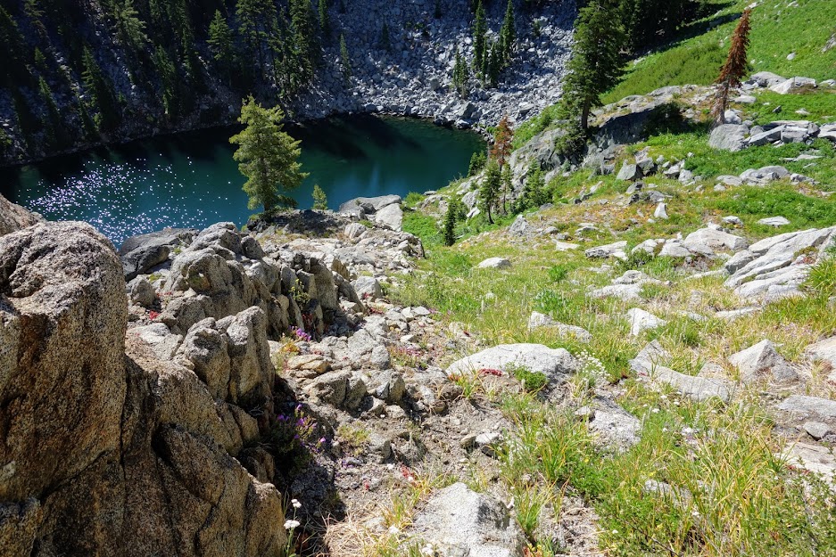
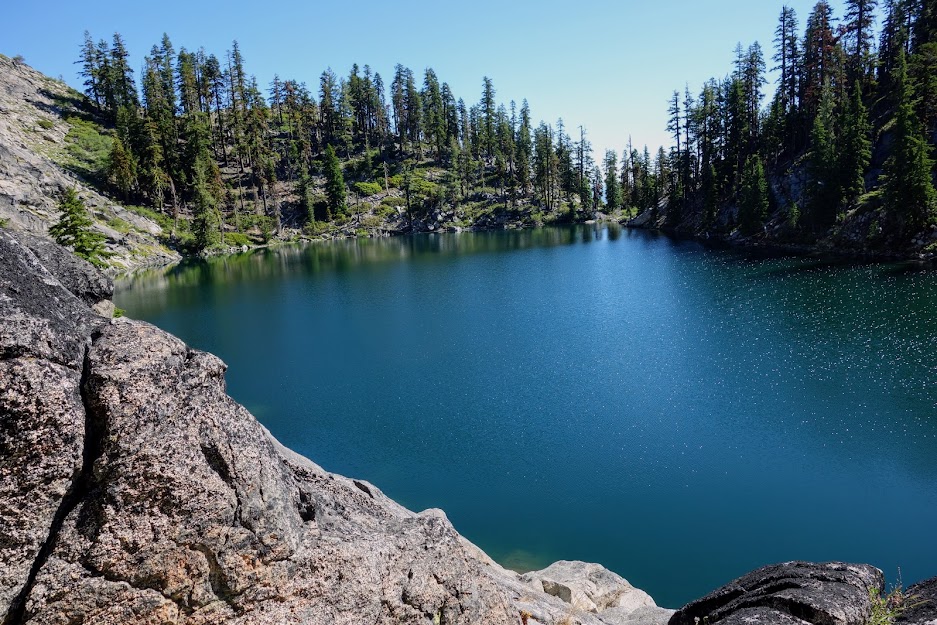
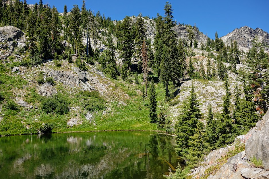
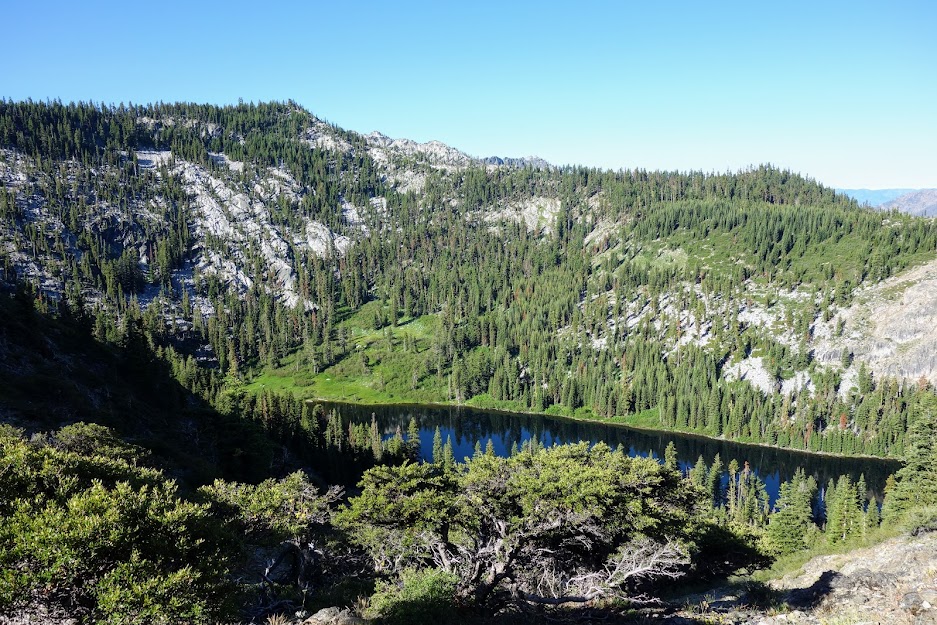
The junction to English Lake around mile 14.5 isn’t marked but hard to miss. The campsites are in the shade of the trees. The shoreline is choked with willows making it challenging to find a spot to gather water, fish or swim. 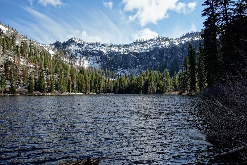
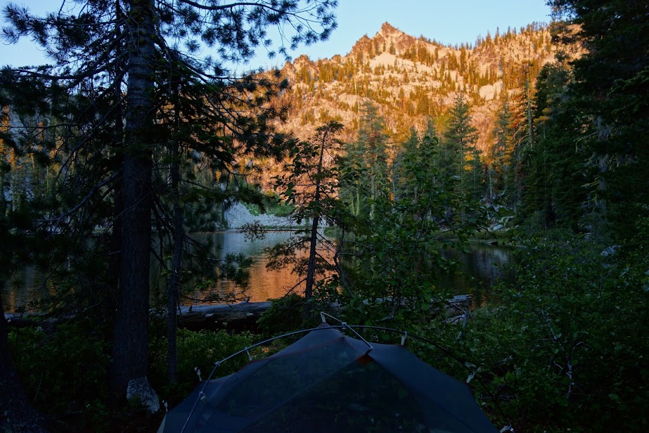
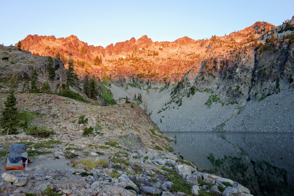
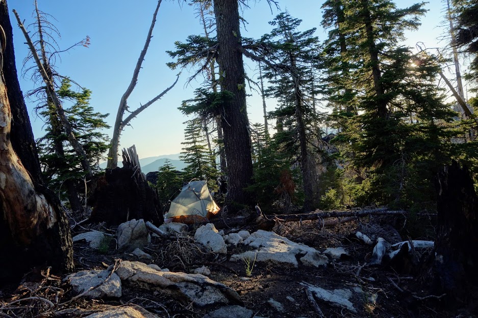
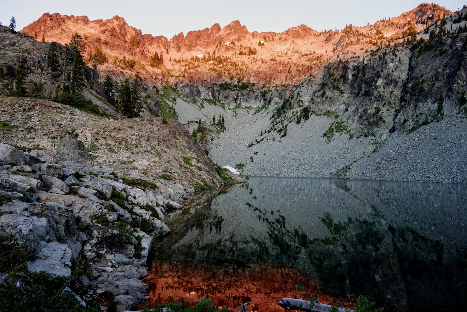
I wandered for an hour trying to find a campsite location where I could see the lake and peak. This was the best I could find. I also wanted as much sun as possible as it was quite chilly with a breeze. 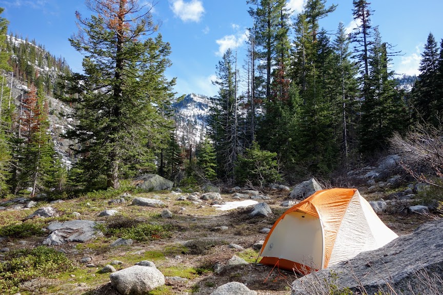
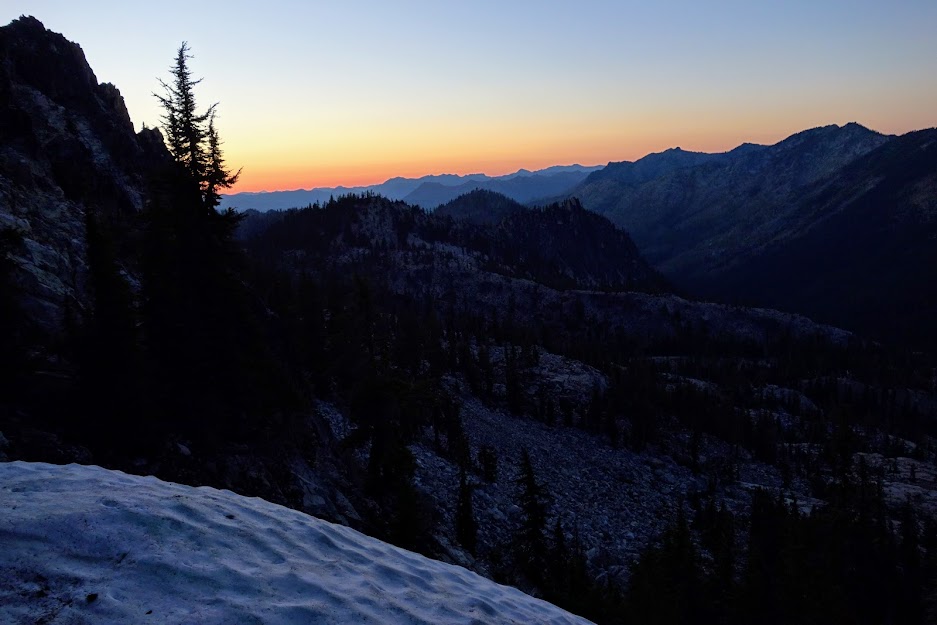
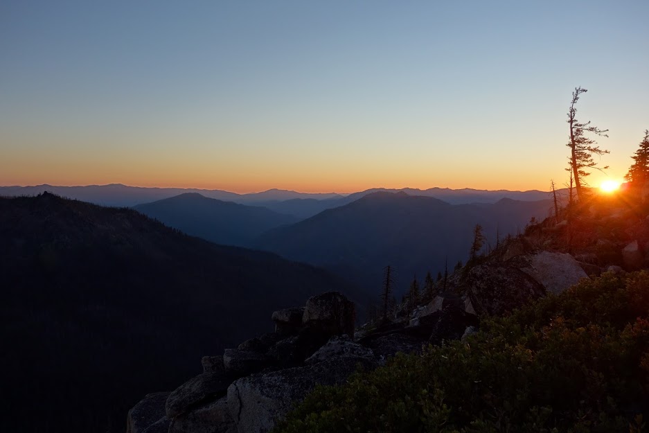
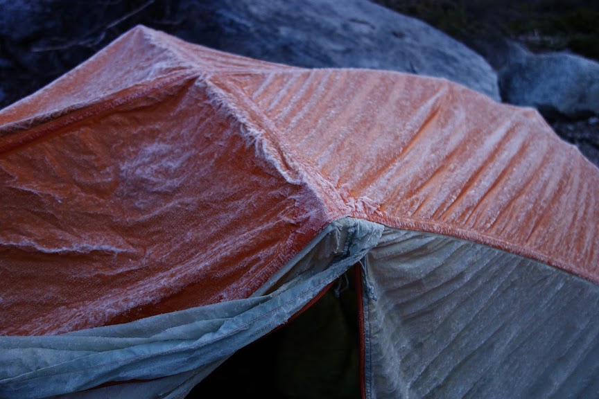
It dropped to a very frosty 25F overnight. 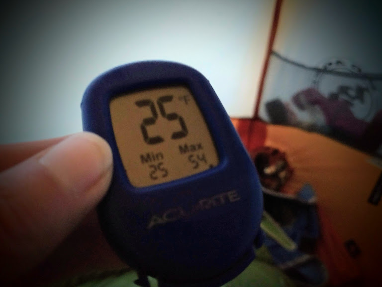
It was obvious I wouldn’t be hiking to 7,350′ English Peak nor over the ridge to Hancock Lake. So I decided to leave camp set up so my tent could dry out while I hiked as far as I could to obtain views of English Lake and Peak from a different perspective. 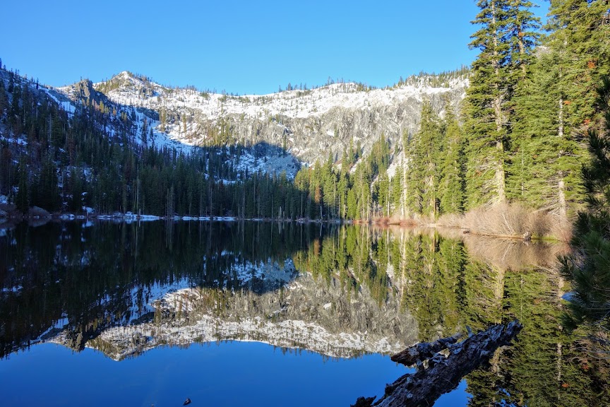
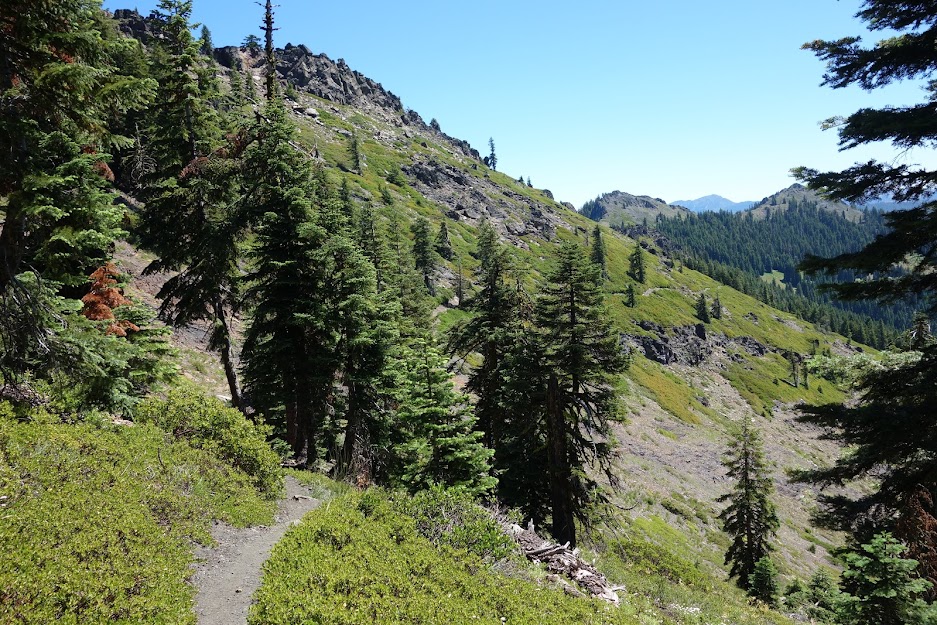
The trail traverses to the right of English Lake. 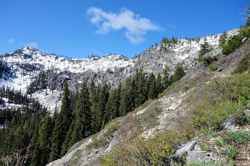
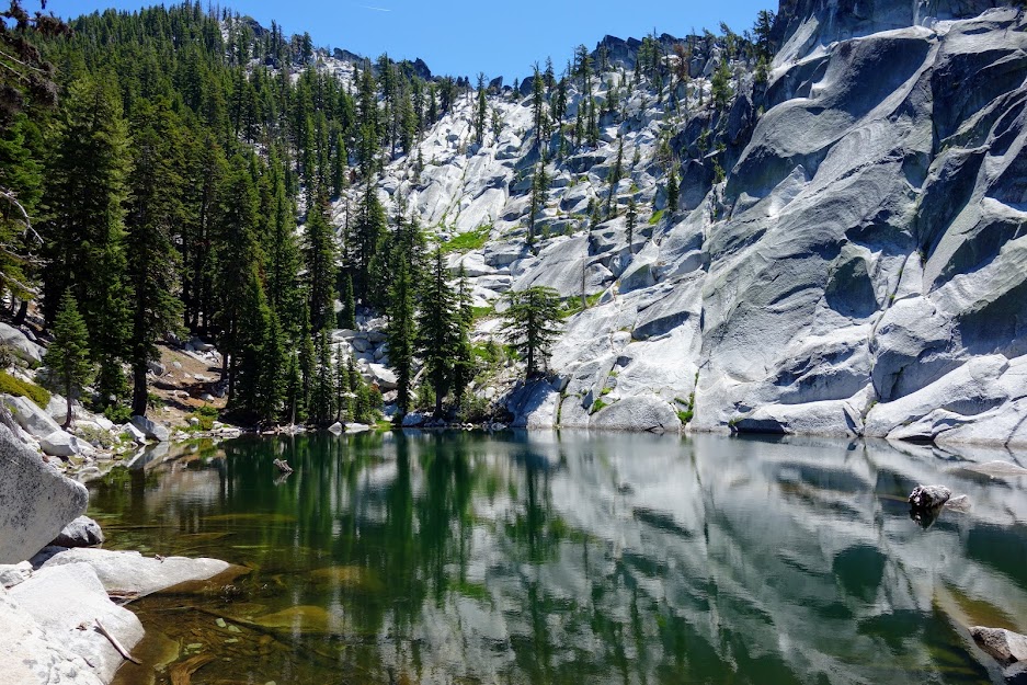
Upper English Lake is visible at the top of the meadow in this photo. 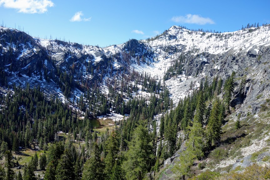
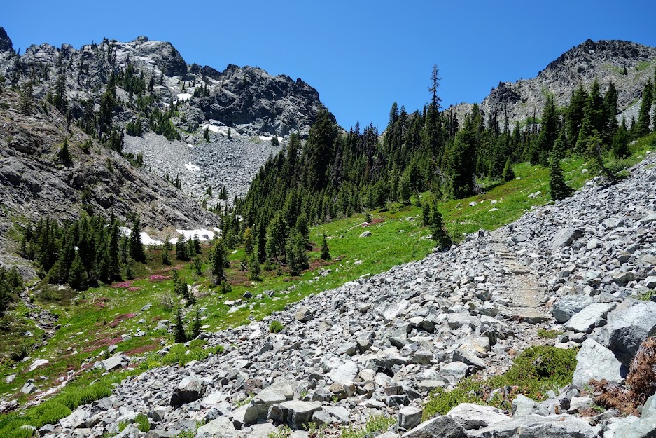
This heart of snow may have caused me to detour but it didn’t deter me from continuing upward. 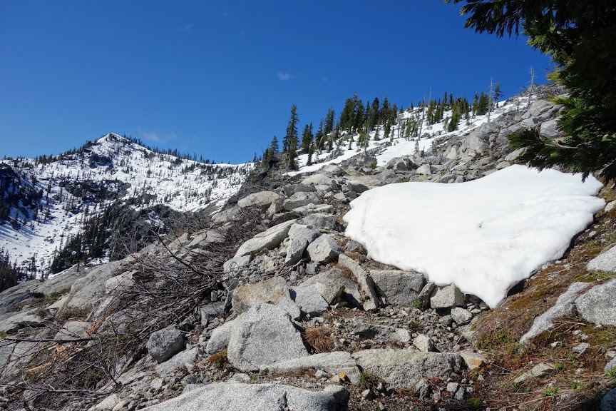
Eventually these slick, post holey, unstable snowfields were a big enough deterrent to encourage a little bouldering for a better view.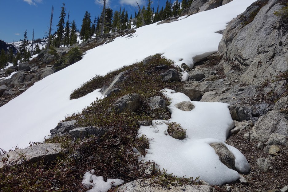
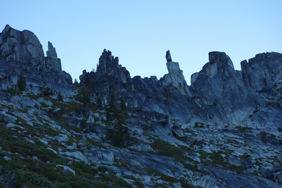
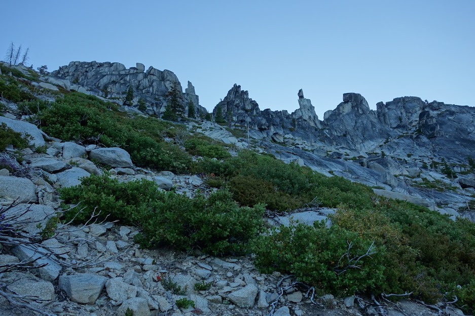
This looked like a reasonable objective. 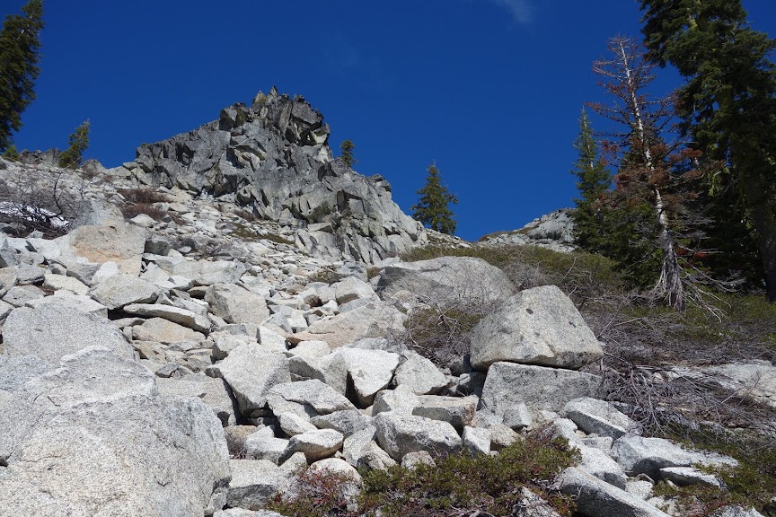
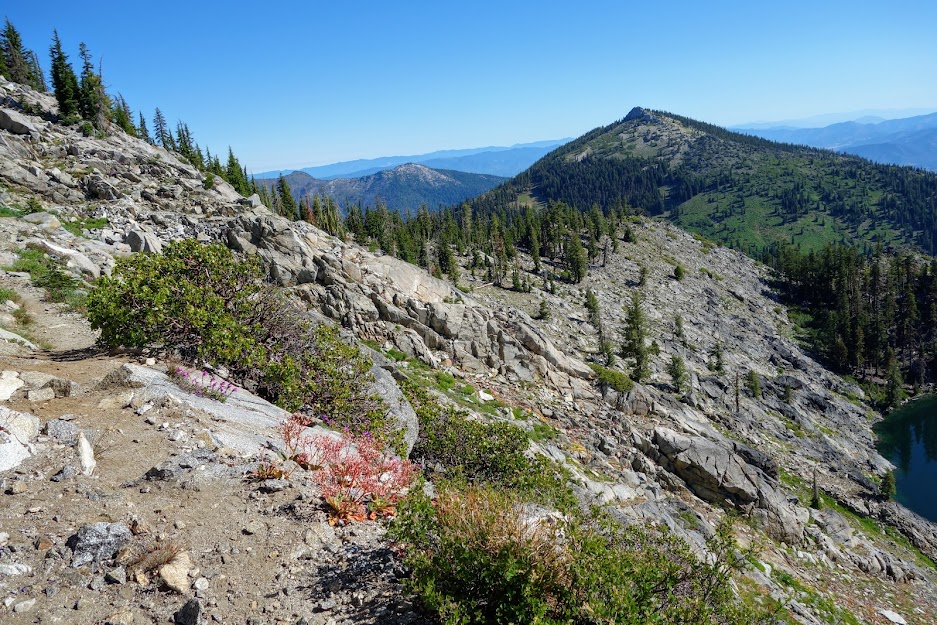
When I made it to the ridge I could see the lookout on top of English Peak. 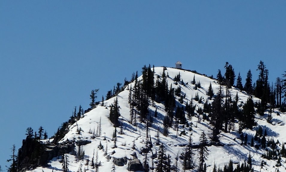
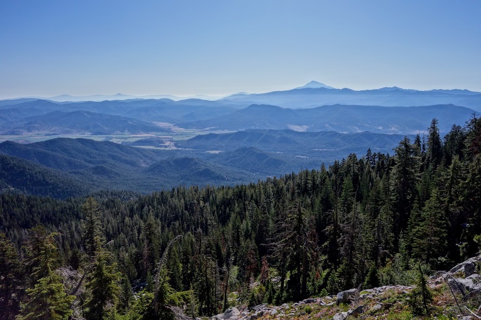
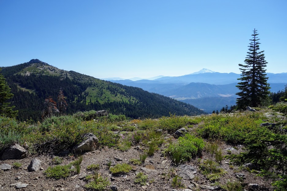
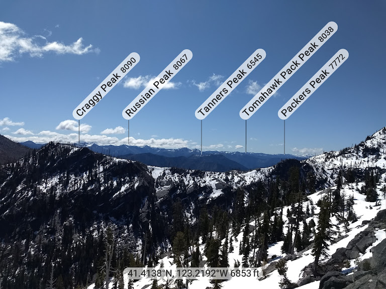
I could see the distant peaks over the ridge and imagine the location of Diamond Lake, one of my original objectives. 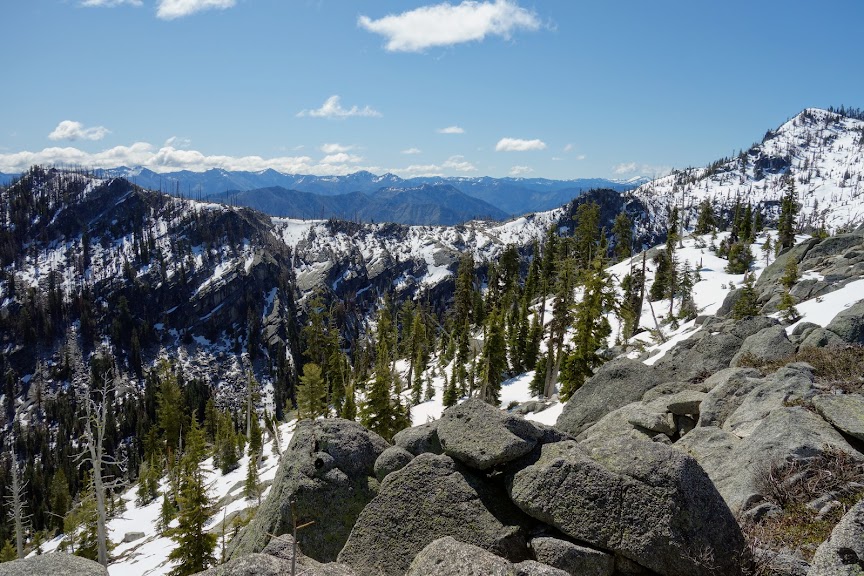
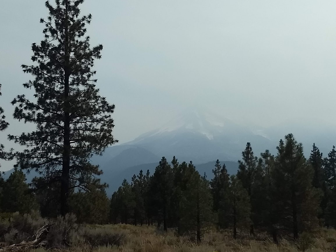
If I would have made it to the lookout, Mt Shasta is said to be visible. 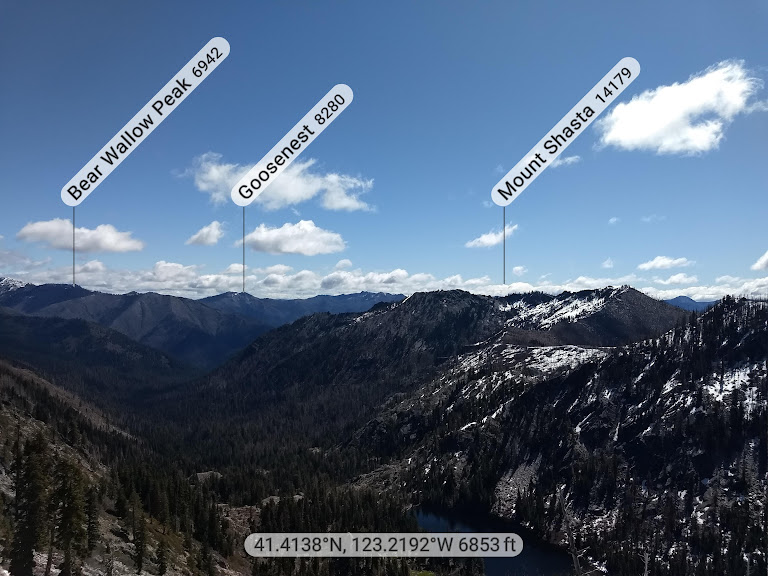
It was exciting to spy Hancock Lake, another hopeful objective of this trip. 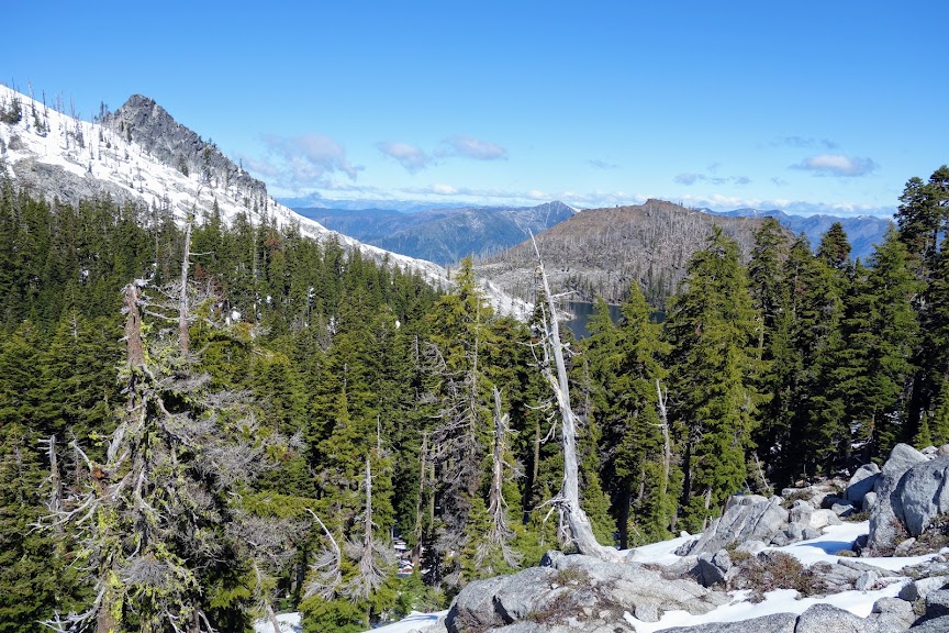
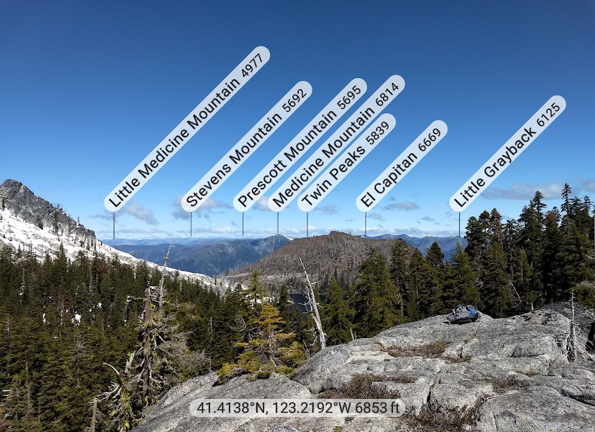
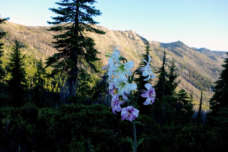
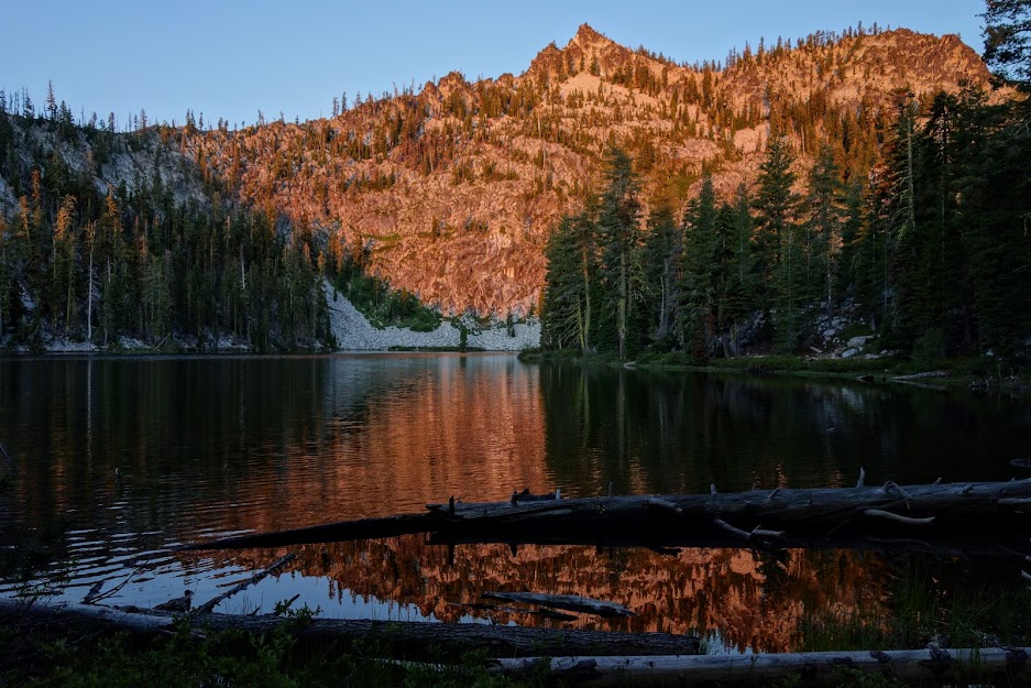
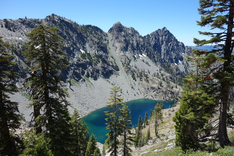
English Lake to the left and English Peak to the right. 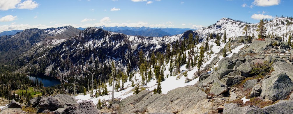
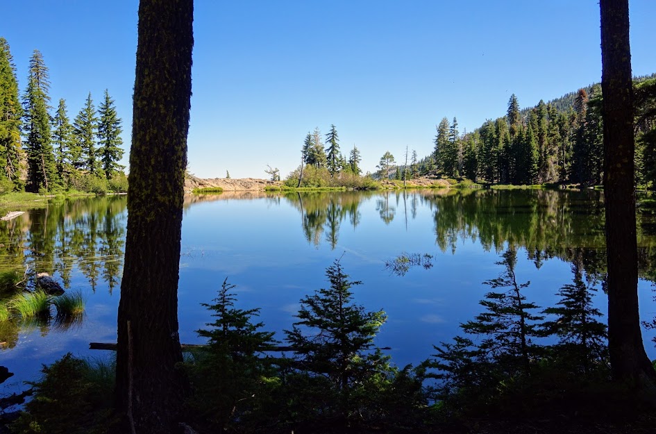
English Lake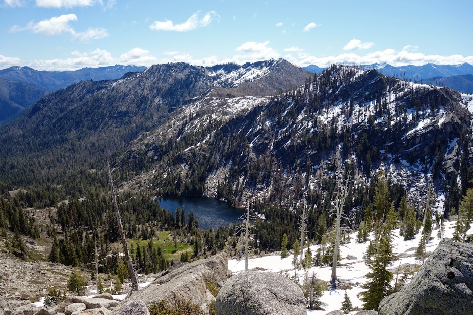
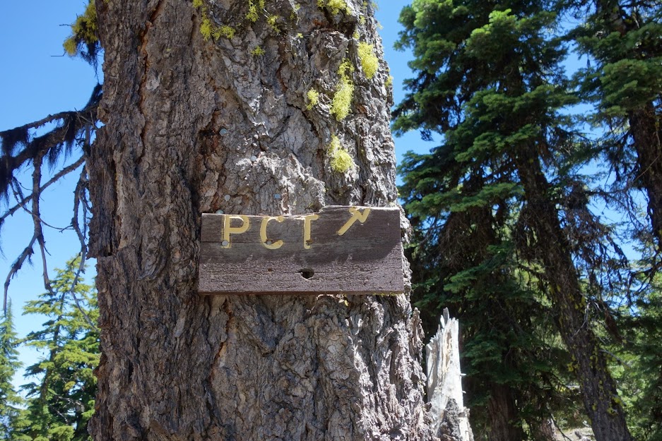
A funny story came out of this trip. About a mile from the trailhead, the bridge had recently been replaced and the crews were finishing up with installation when I arrived. They told me it would be several hours before I could drive across. I parked below the bridge across from another trail. I talked to the crew and verified it’d be okay to park there and gained permission to walk the bridge. As I drove through Etna I noticed a USFS Law Enforcement vehicle at the gas station. I stopped to chat about another issue only to find out the officer was about to initiate SAR on my behalf. The construction guys were sure this “old lady with a day pack” was in trouble. They reported their concerns on Thursday. The officer ran my plates and upon noticing my PCT sticker decided I was probably one of those thru hikers who carries a tiny pack. He was on his way to check on my car again when I appeared. Good thing since I wasn’t expected for a few more days. I have to say I wasn’t offended and instead feel honored to be part of the gray-haired club who’s earned a little extra TLC. 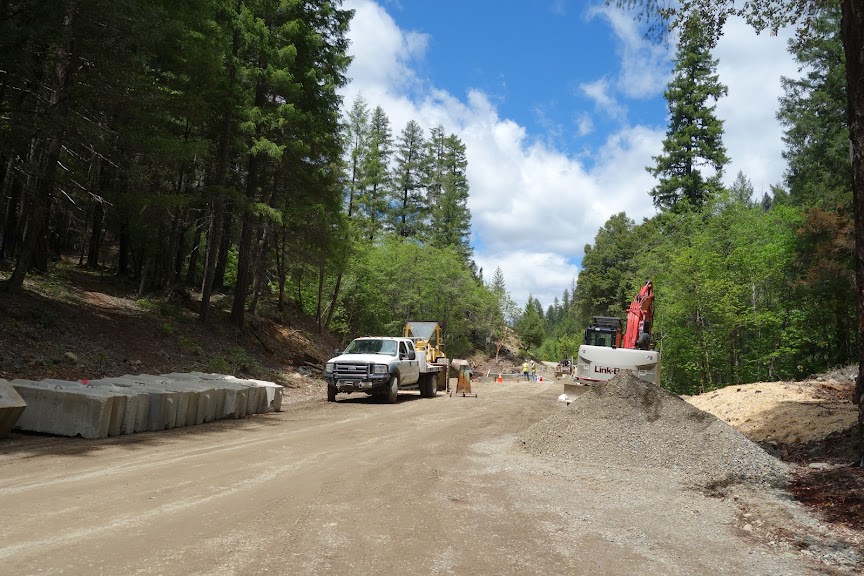
Adventure Date(s):
Hike Details:
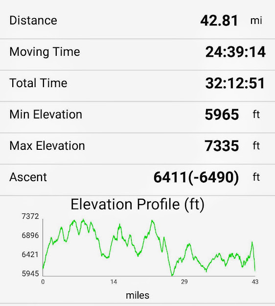
Note: This includes extra mileage as I parked a mile from the trailhead. I also spent time exploring, meandering and wandering so just consider it a vague idea as to what your might experience.
 Tips:
Tips:
- Stop at the Ranger Station in Fort Jones for information on trail conditions.
- Order your map in advance or call the ranger station to see if they have available.
- Obtain your California campfire permit online in advance (it’s required for your backpacking stove).
- Mileage in Art’s book were quite different than those I obtained from my Gaia track and noted above.
Resources:
Links:
I participate in the Amazon affiliate program and may receive a commission on qualifying purchases linked in this post. It doesn’t affect your price but it helps support this site.