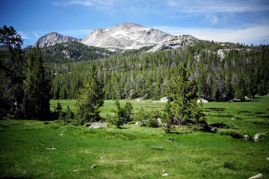
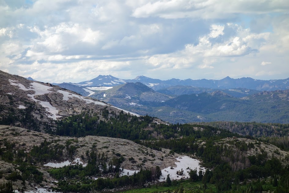
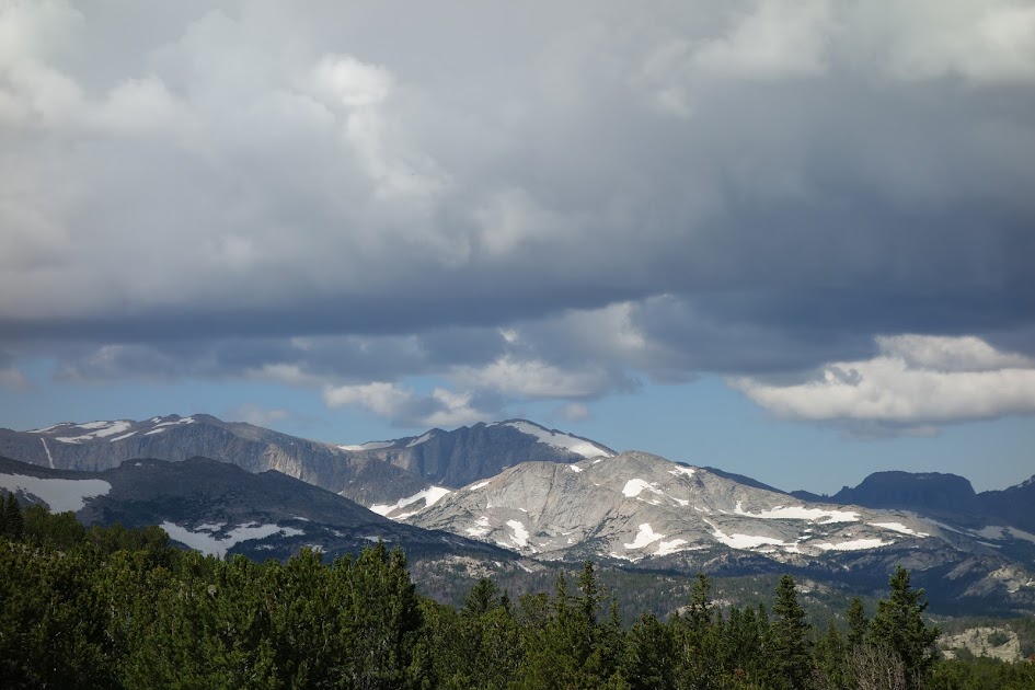
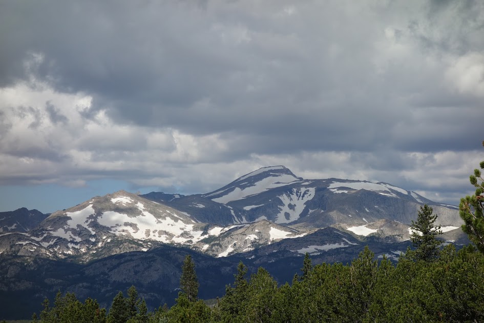
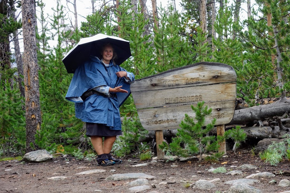
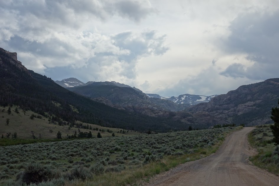
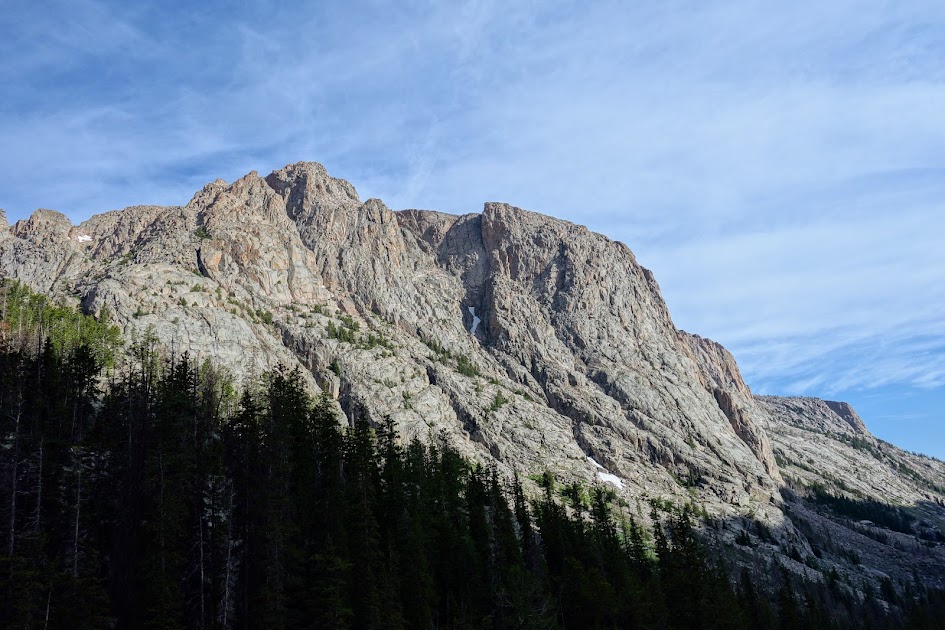
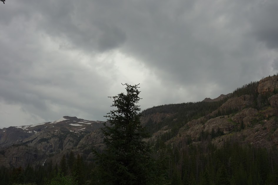
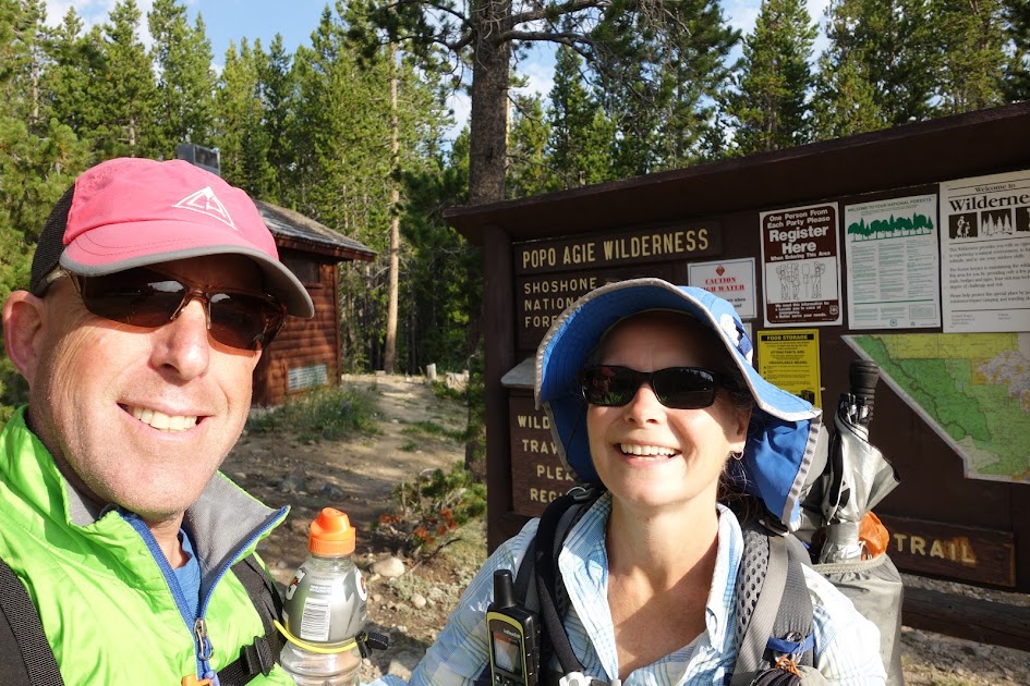
My recent visit to the Stough Creek Lakes Basin was all too short and left me fantasizing about rambling those beautiful ridges of Roaring Fork Mountain.
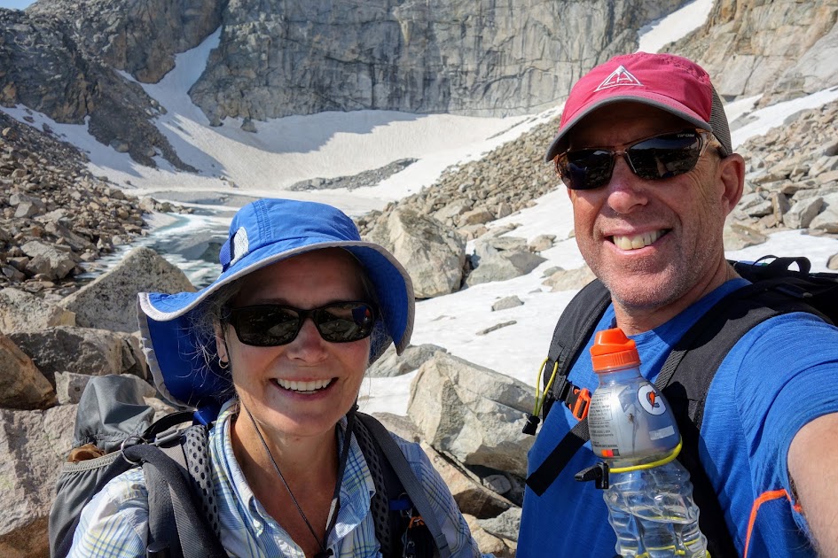
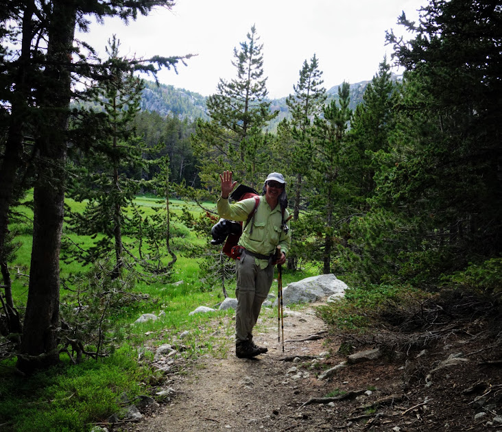
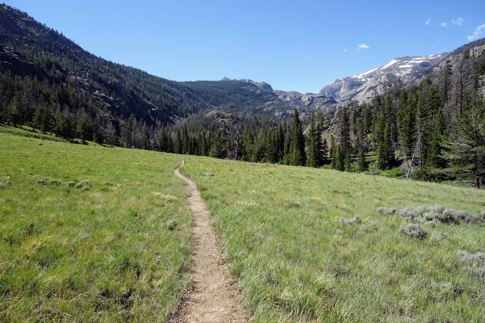
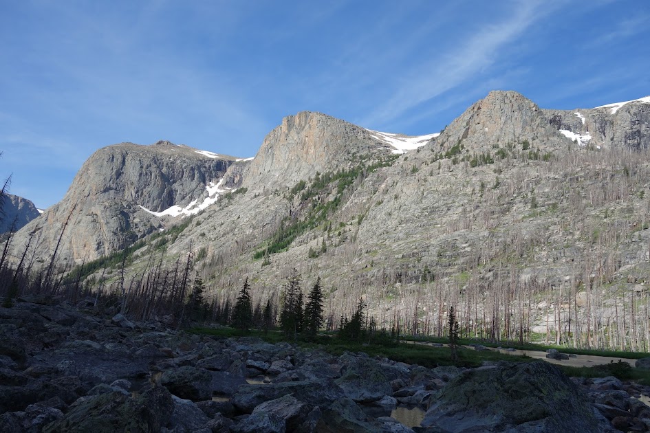
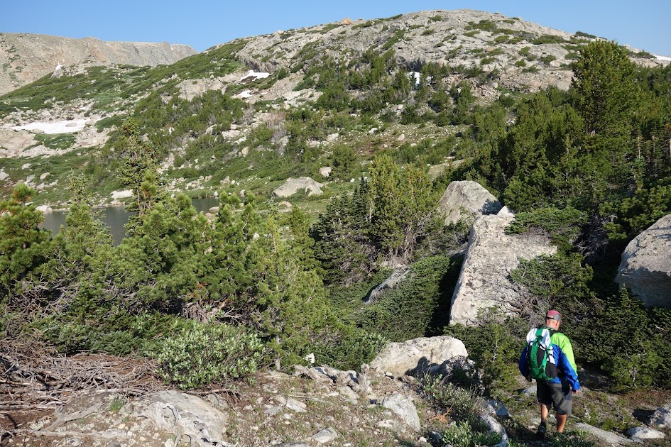
My friend Keith joined me for this adventure. The plan was to take the Stough Creek Lakes Trail #702 directly to the Stough Creek Basin which is surrounded by Roaring Fork Mountain, a U-shaped range.
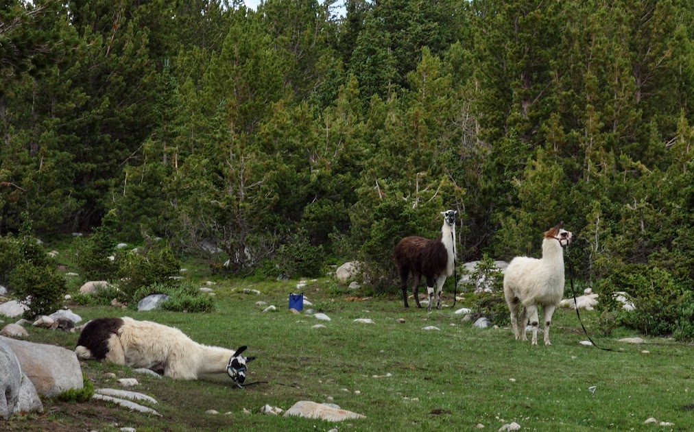
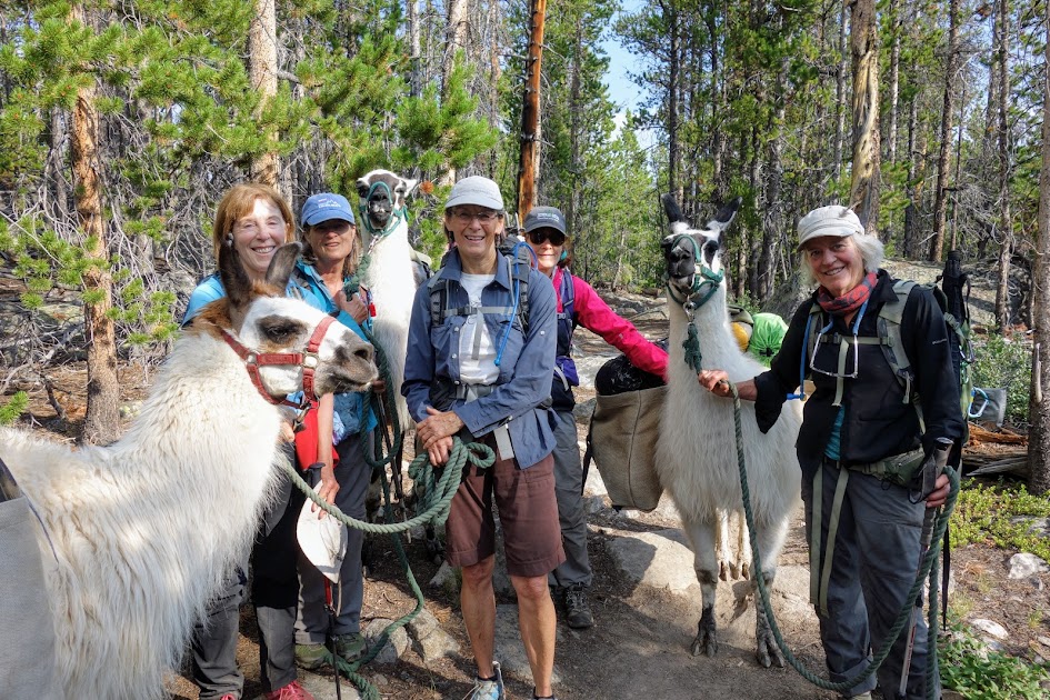
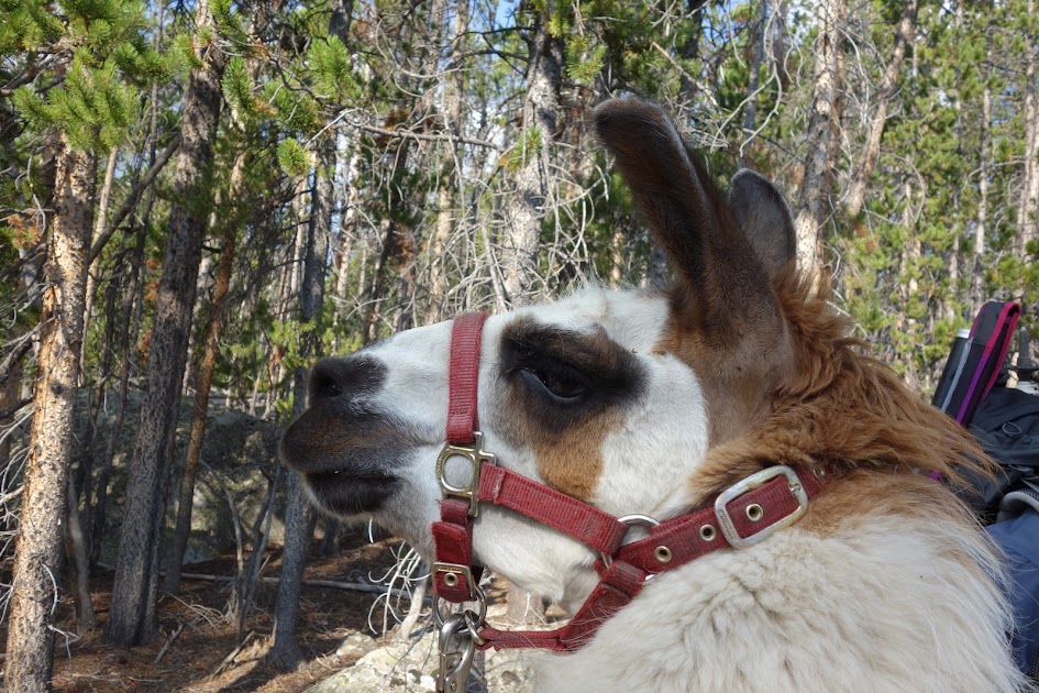
Just a short-distance down the trail, we ran into the Llama Mamas from Colorado, whom I’d met at Big Stough Lake during my previous trip. It was their first day and my last day; this time the reverse as it was my first day, their last. What a fun reunion!
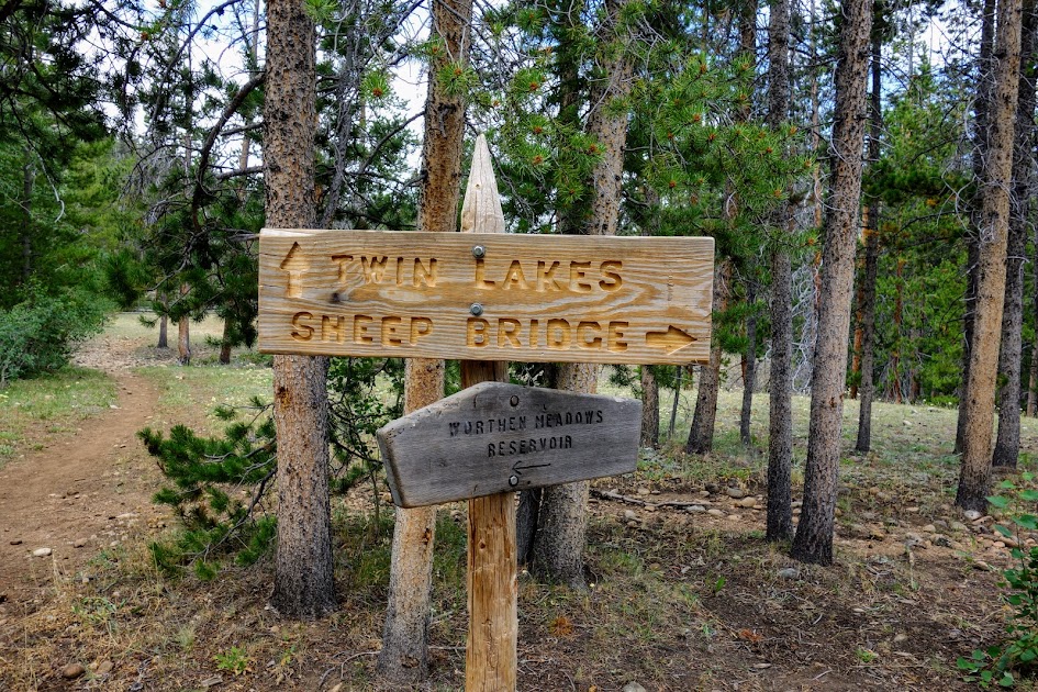
I confidently but erroneously led us down the Sheep Bridge Trail #701. I could blame Keith for the distraction, but maybe it was just meant to be. Thankfully I had maps and realized we could take new-to-me trails, Twin Lakes to Stough Creek, turning this into a loop trip. I call these happy accidents!

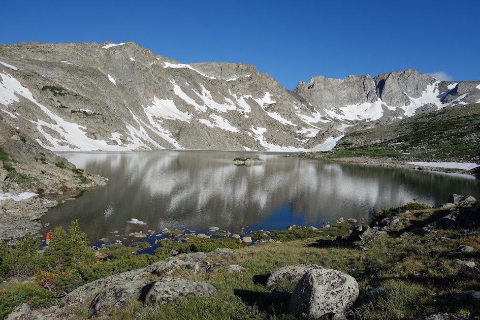
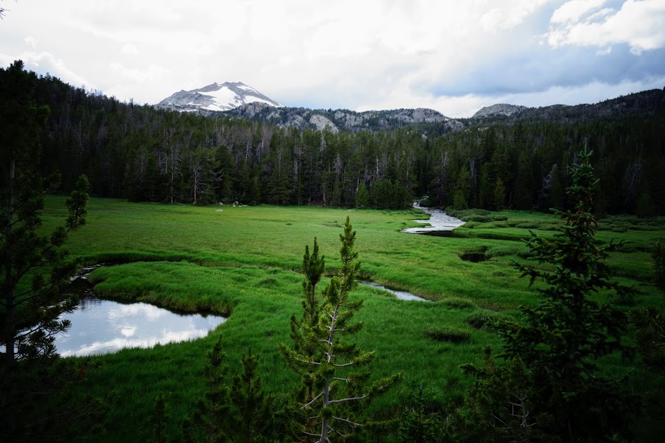
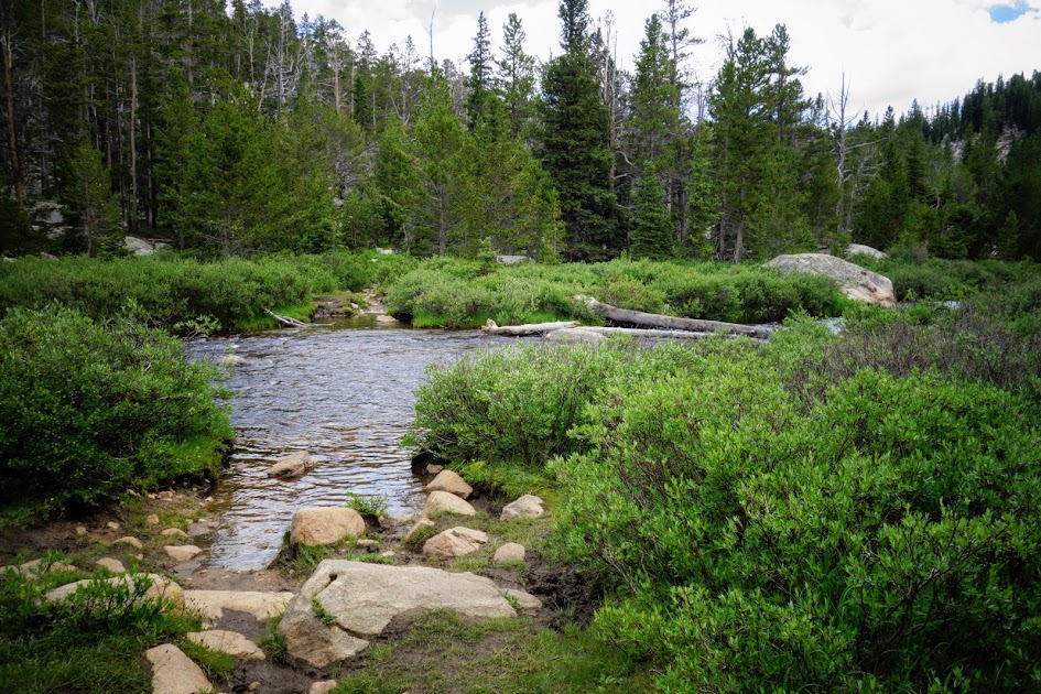
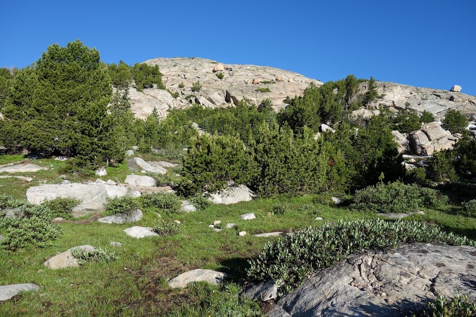
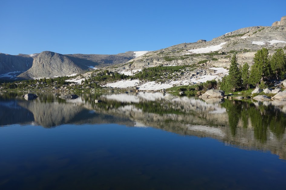
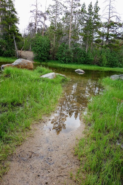
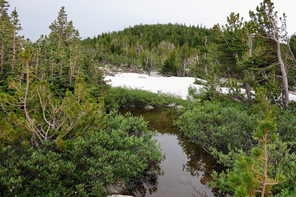
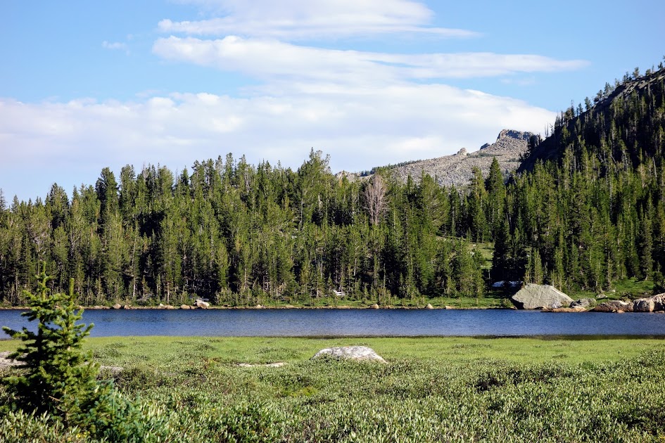
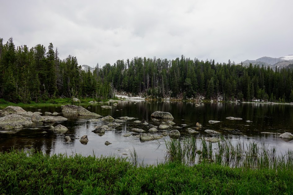
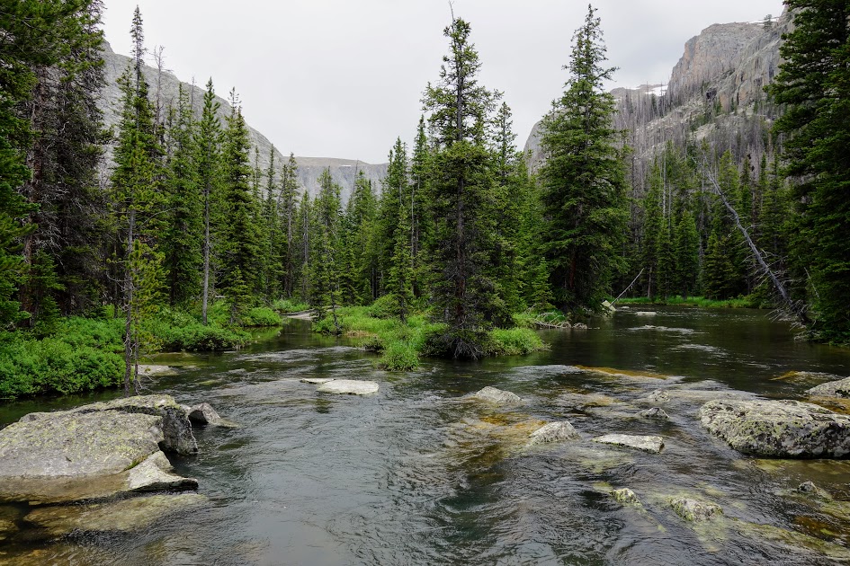
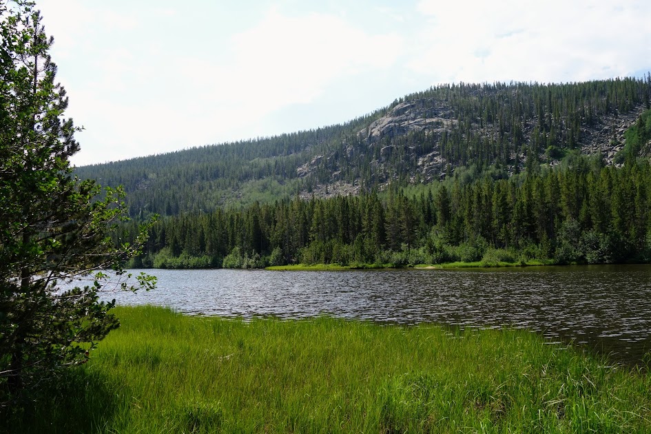
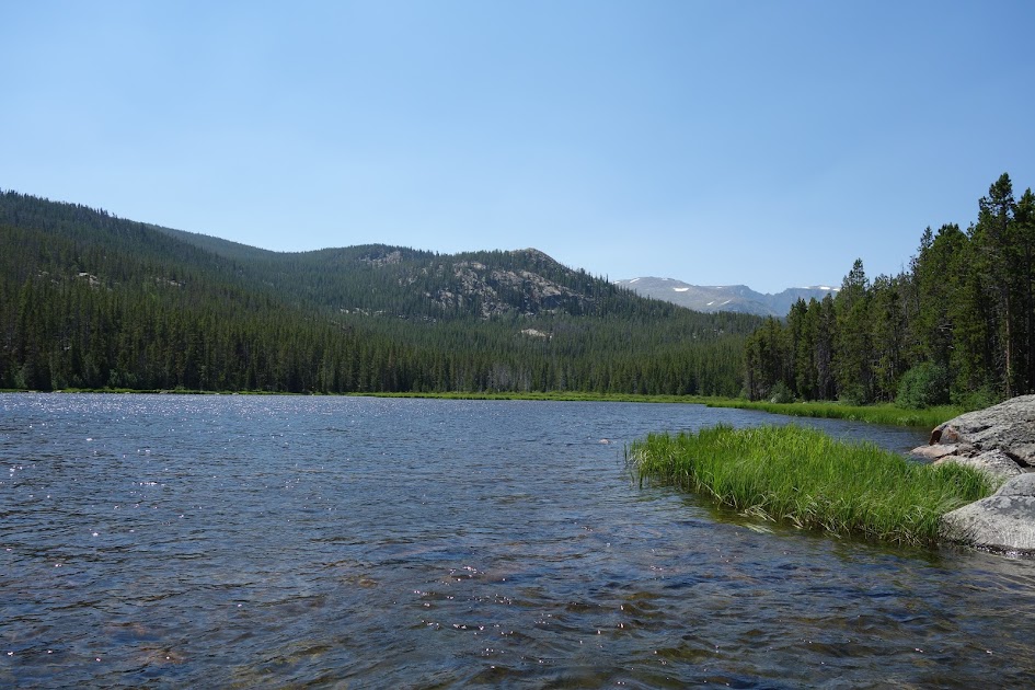
One of the Twin Lakes.
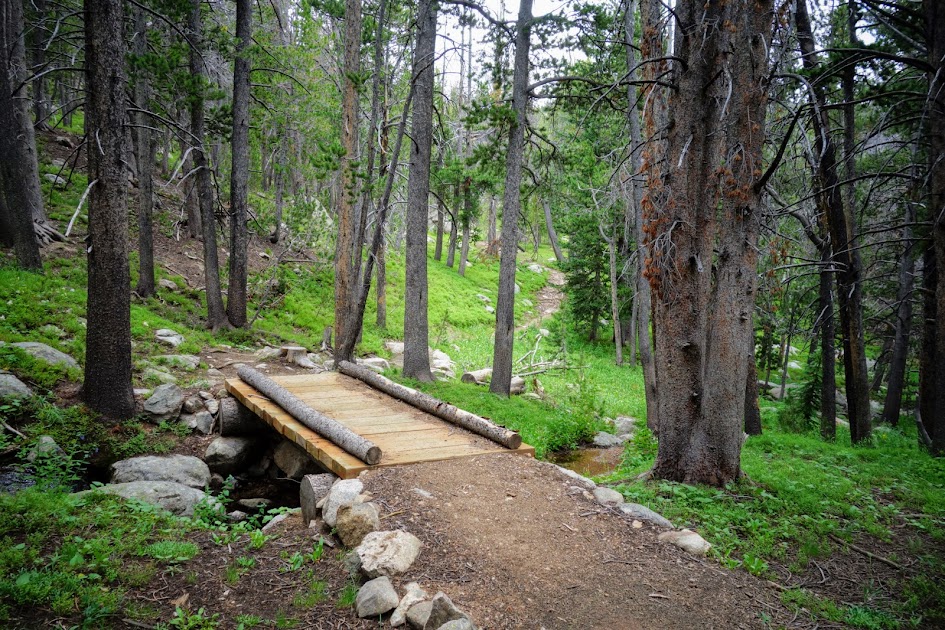
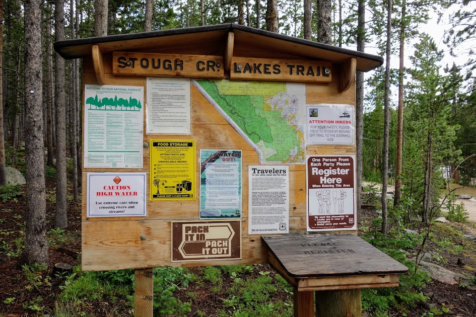
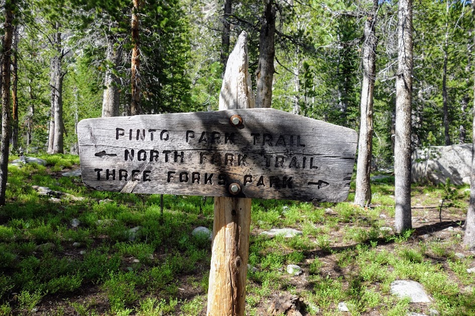
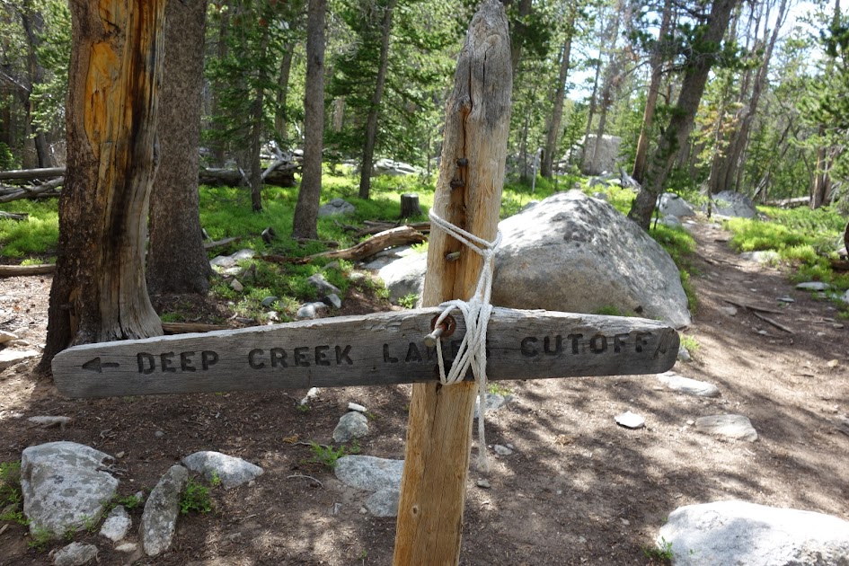
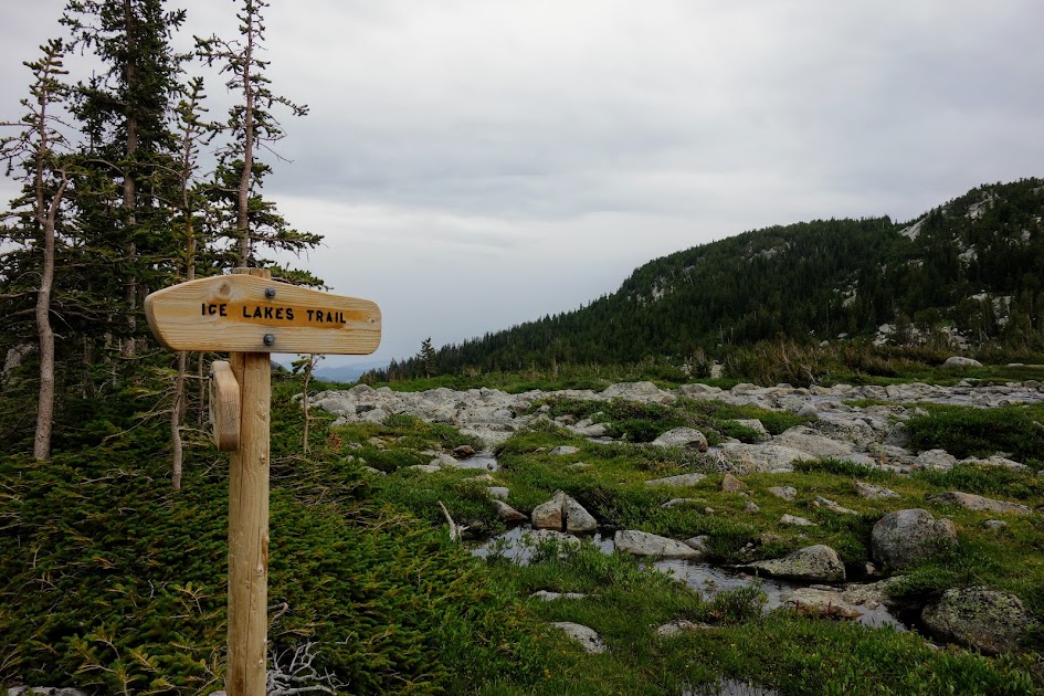
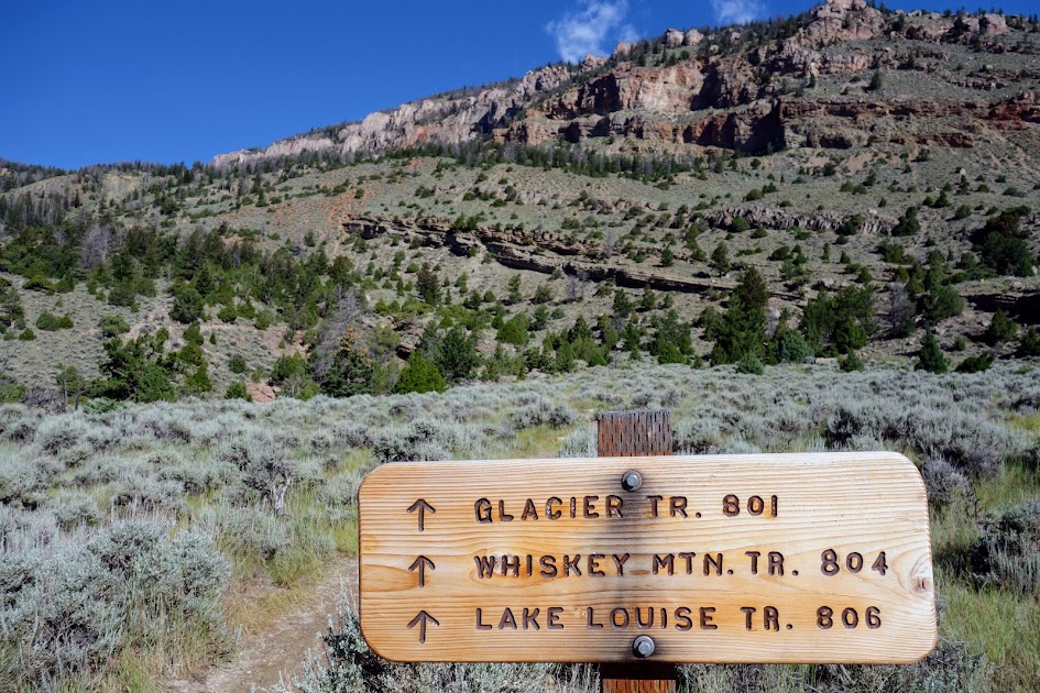
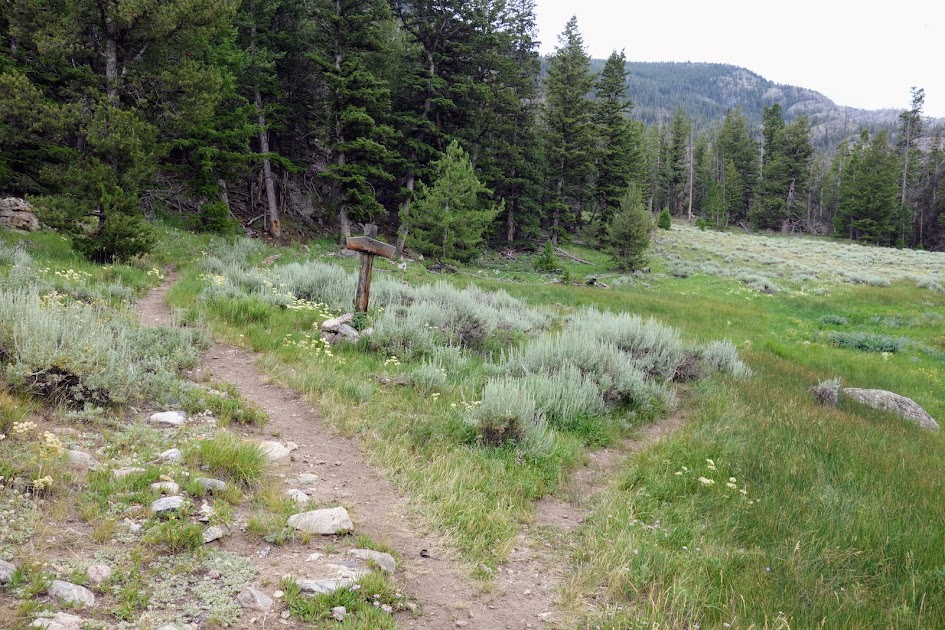
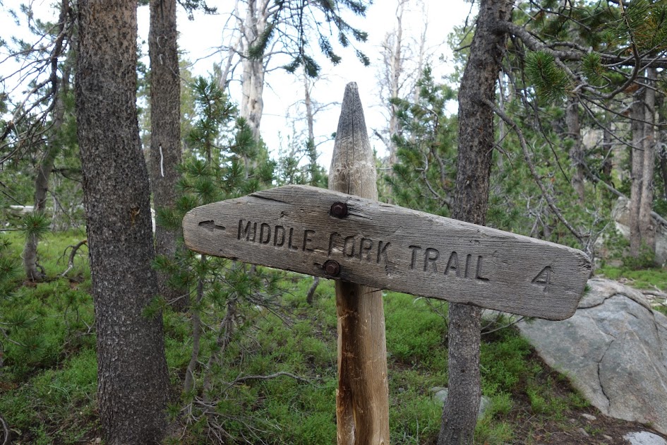
It would have been easy to miss this junction as the sign was on the ground, and the trail immediately crossed a creek.
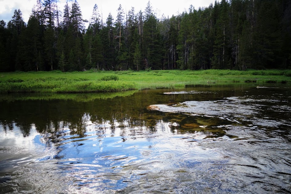
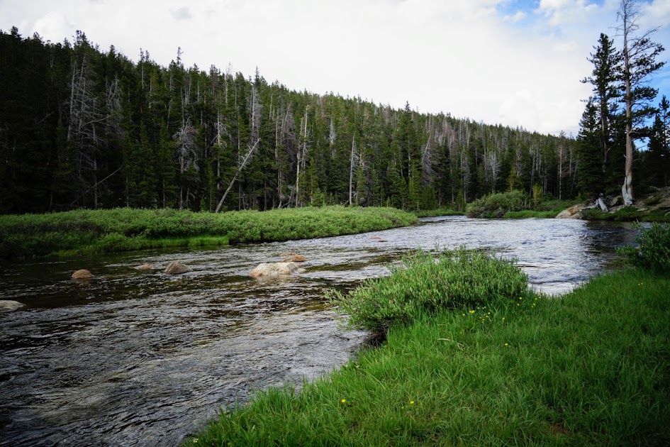
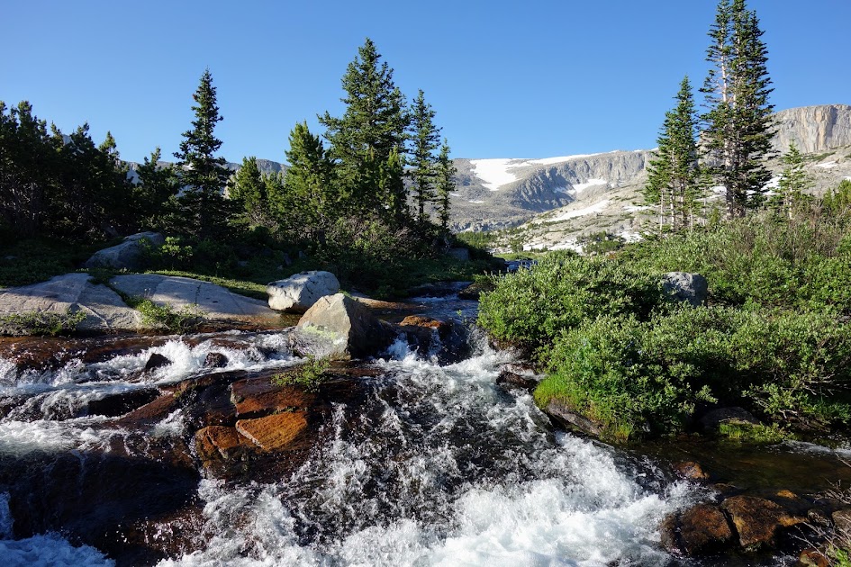
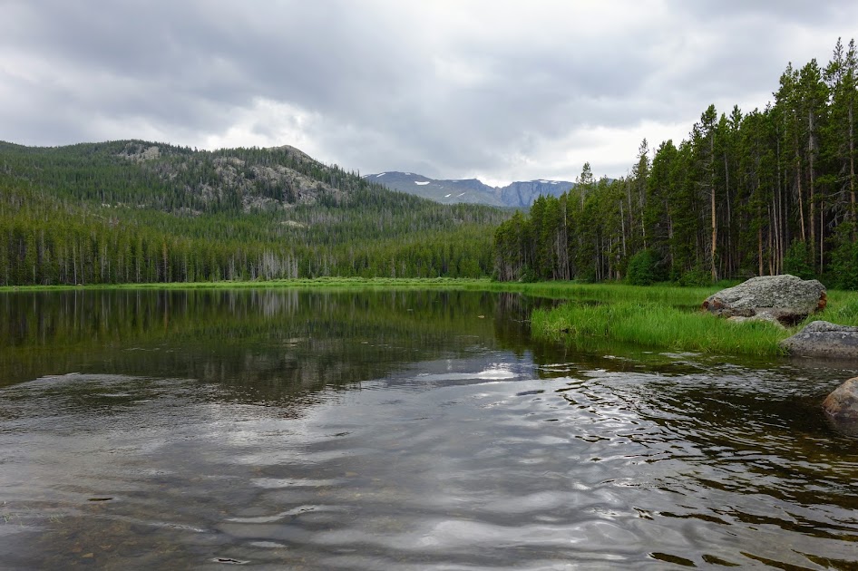
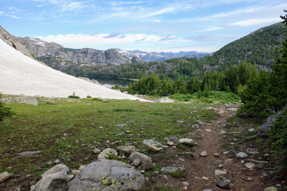
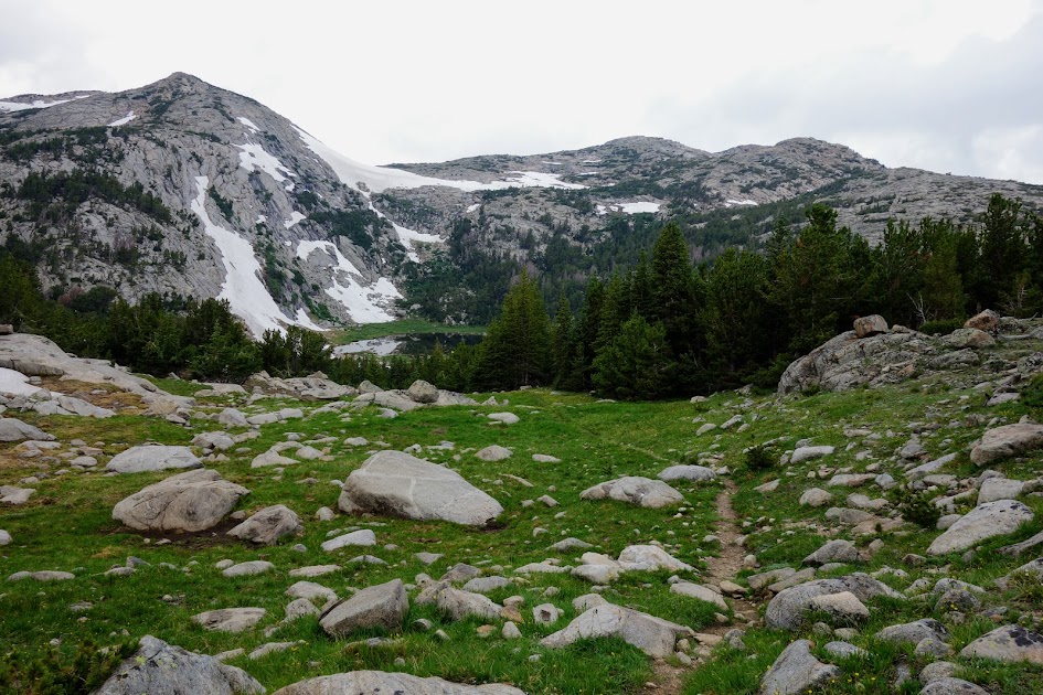
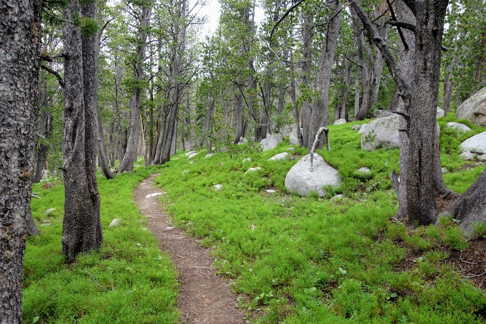
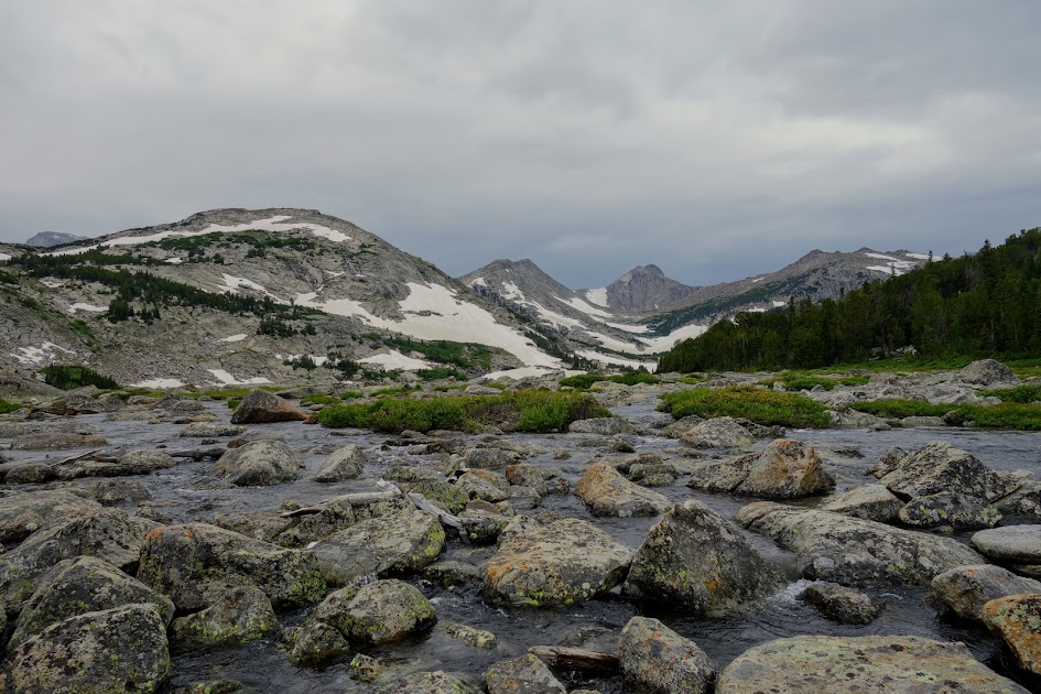
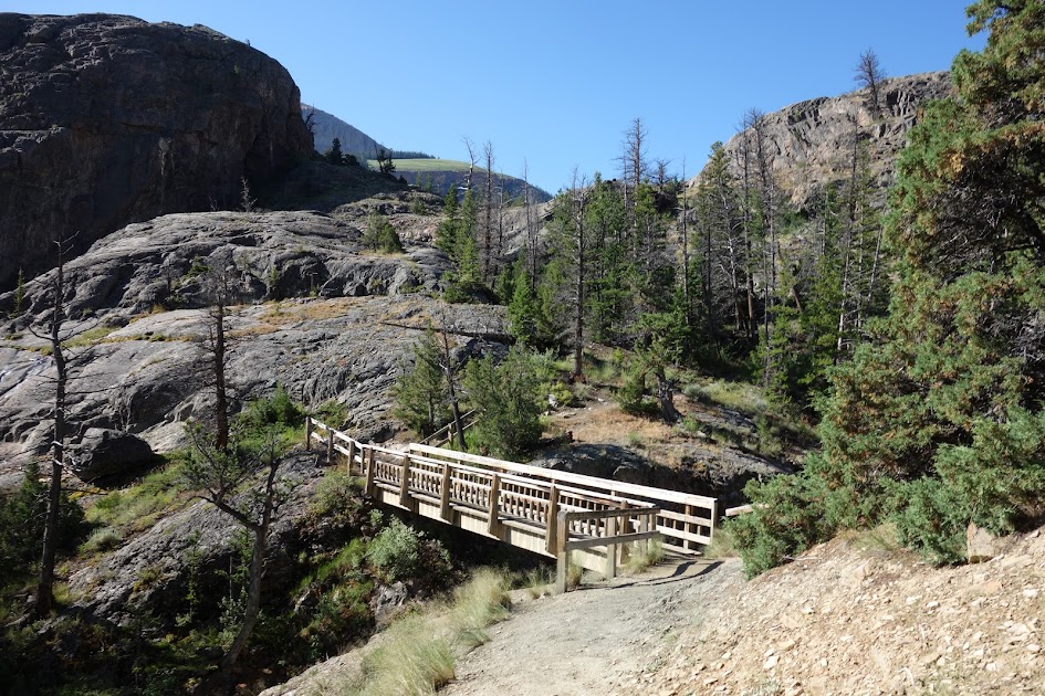
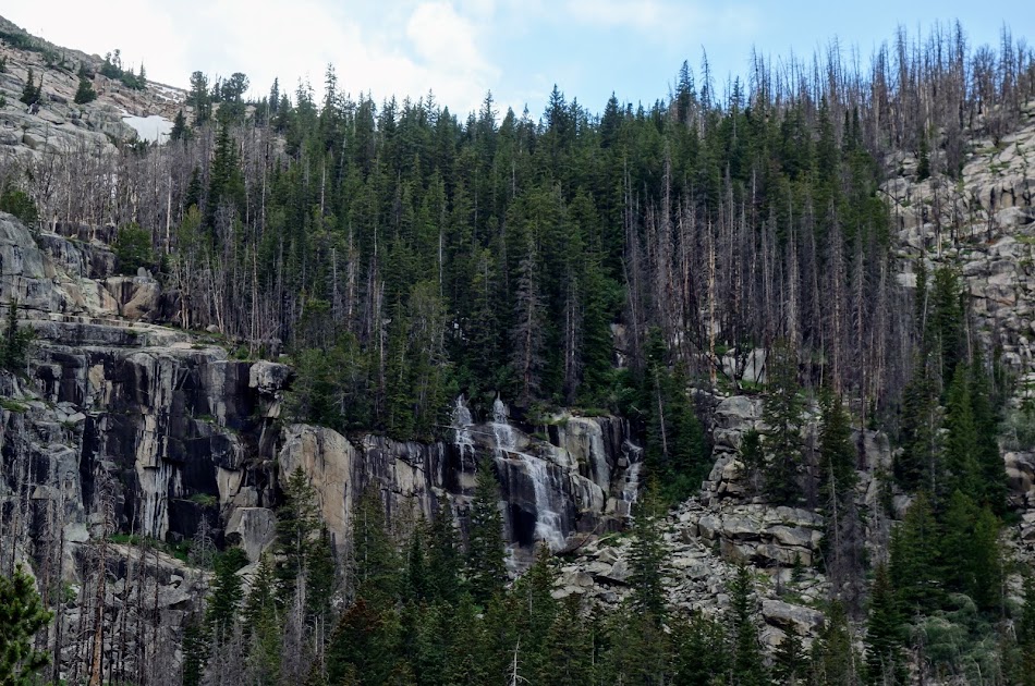
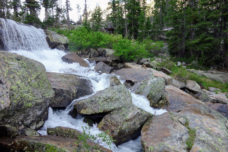
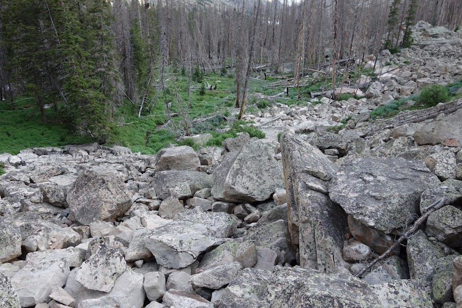
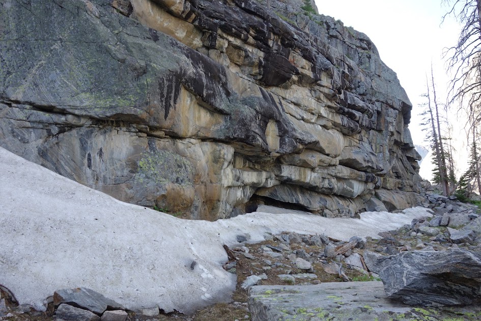
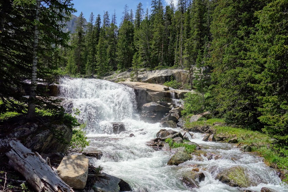
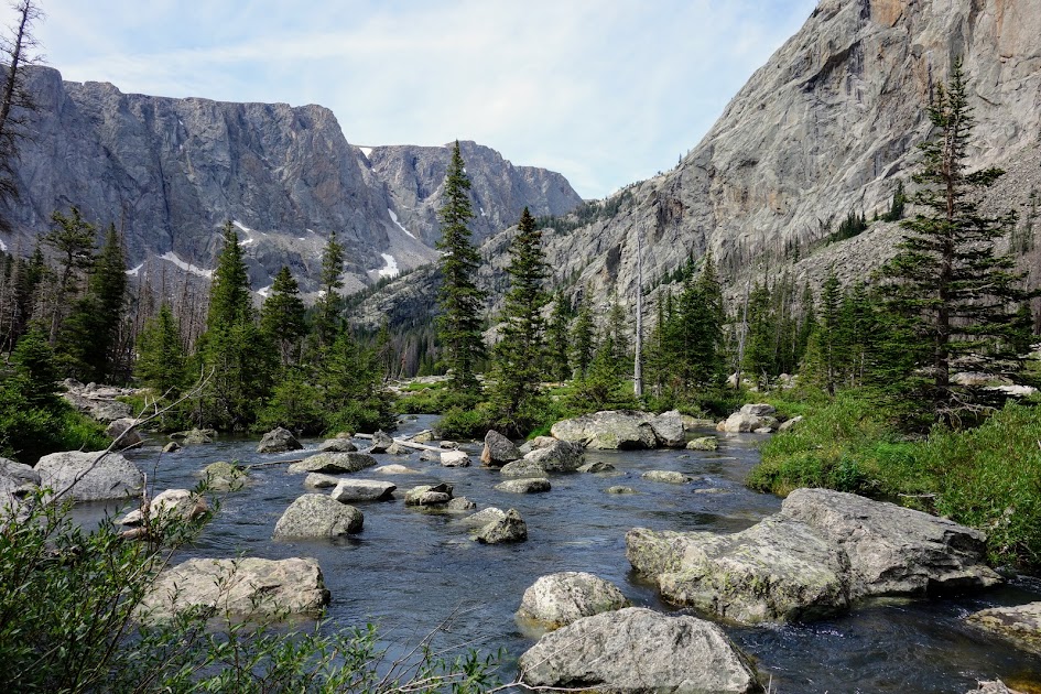
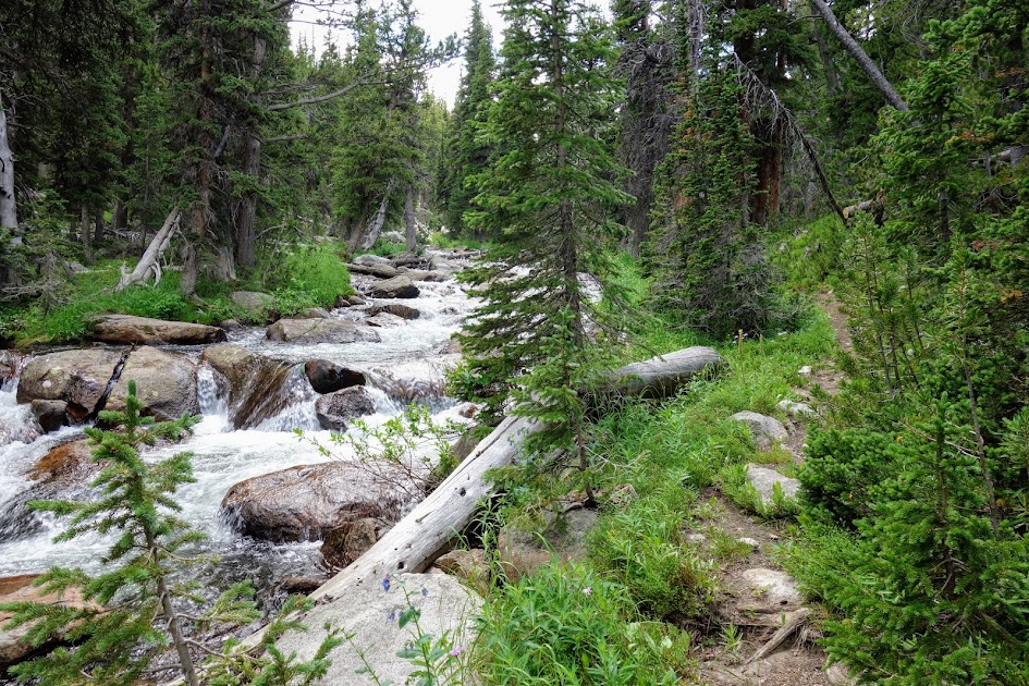
The Stough Creek Trail . . . as suspected meanders along the creek. It was in pretty good shape and a great alternative to taking the Roaring Creek Lake Trail.
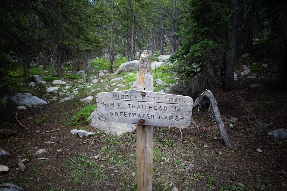
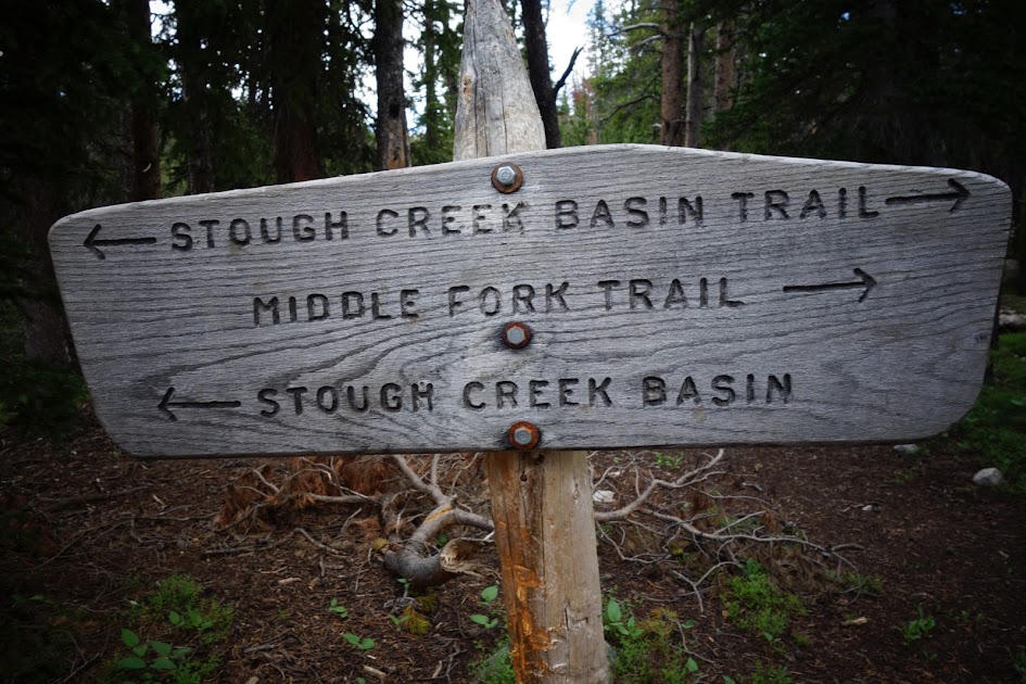
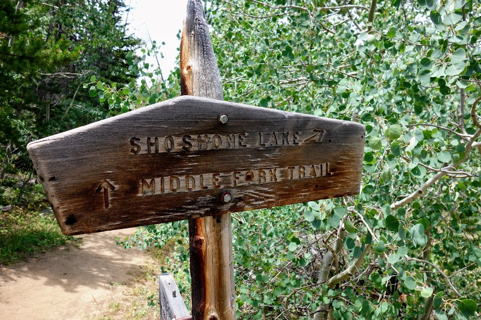
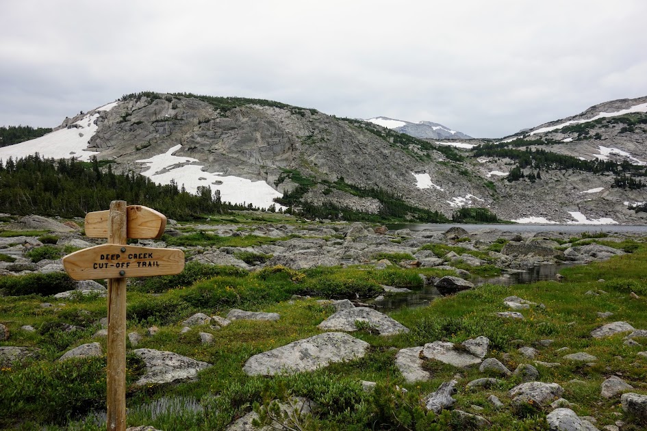
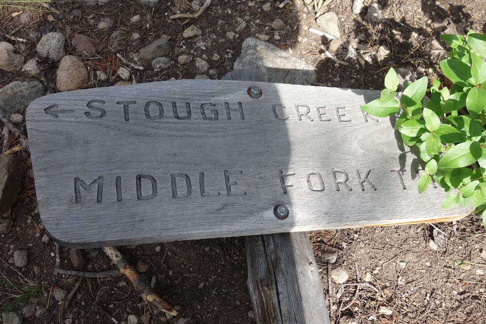
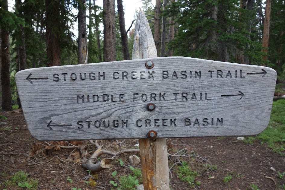
This Middle Fork sign is cause for confusion as you’re on the Stough Creek Trail, which according to my map you’d continue on west for 1.4 miles prior to reaching the Middle Fork trail.
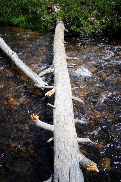
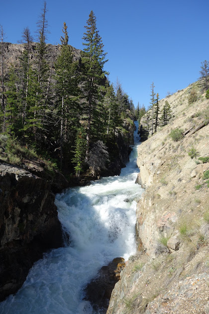
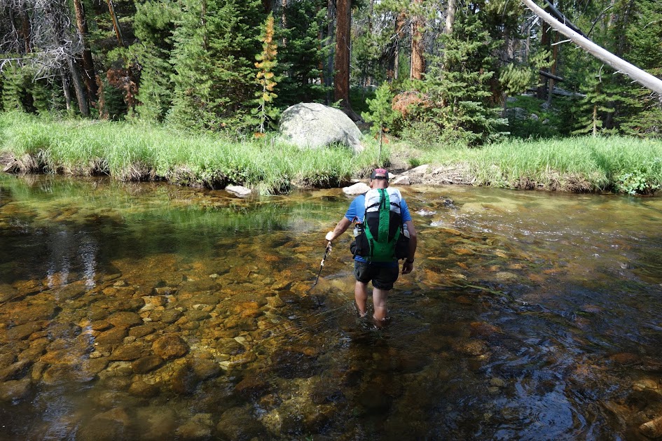
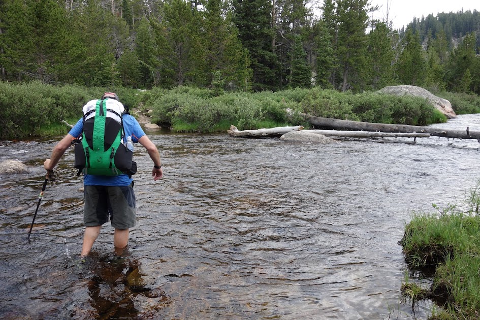
Because of our alternate route, we had to cross Stough Creek at the place were I’d fallen off the log the previous week, wrenching my knee. We both elected to walk through the water skipping a potential repeat experience.
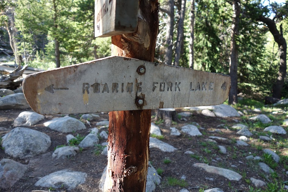
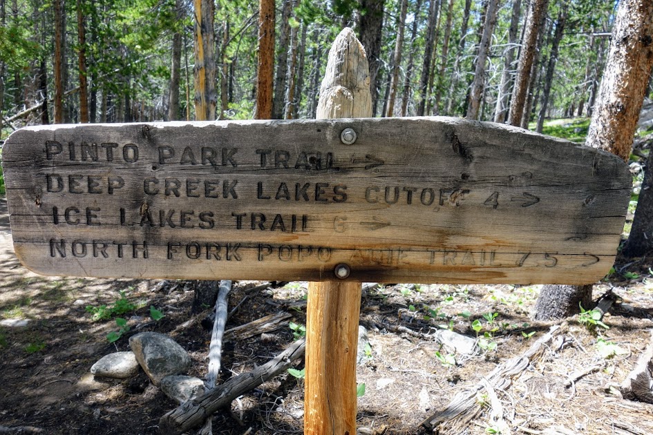
This is another confusing sign. It’s only about a mile, not 3 miles to the Stough Creek Basin. The Middle Fork Trail is now 1.7 miles west (not north as the sign points). Roaring Fork Lake is 5.7 miles not 4.

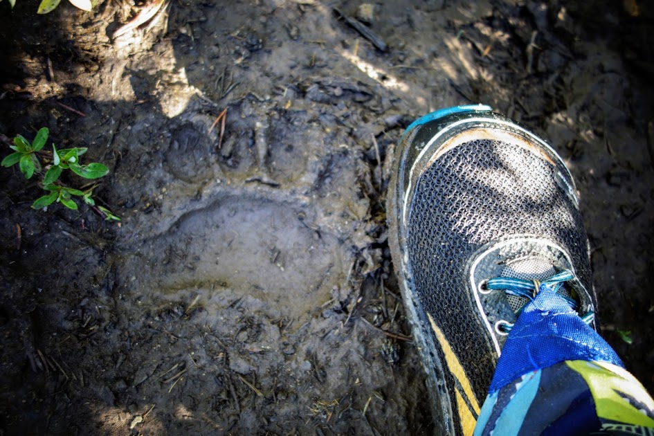
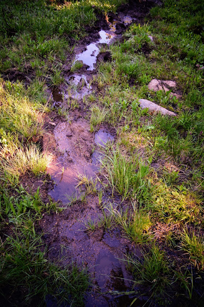
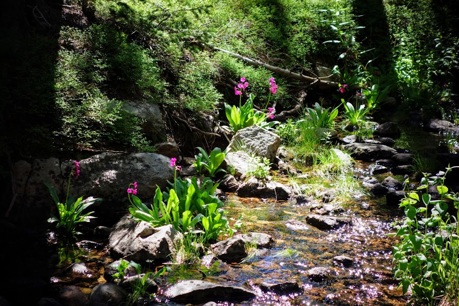
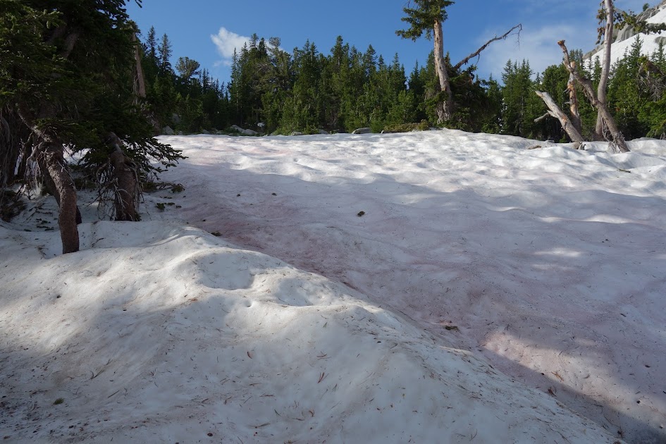
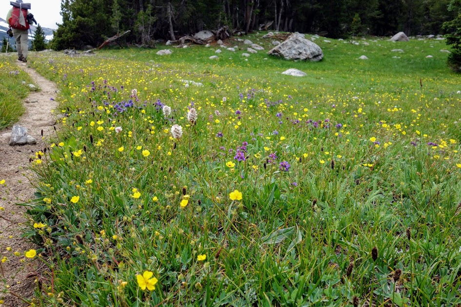
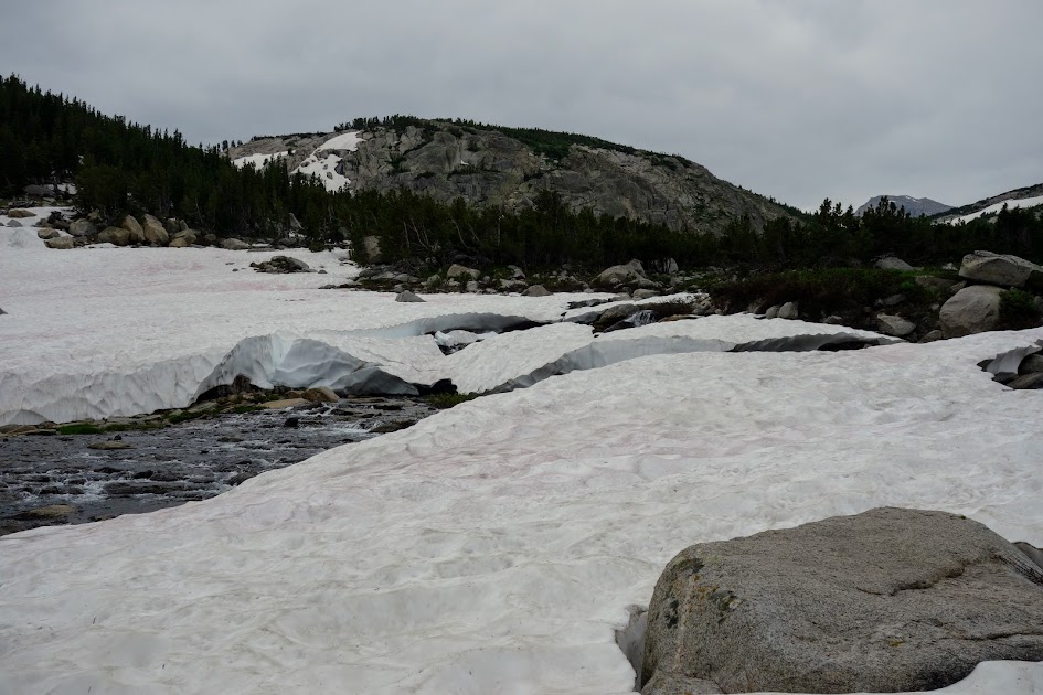
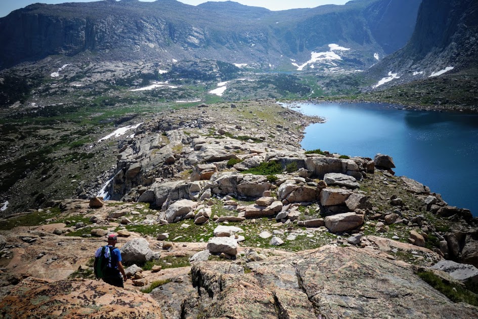
It’s pretty hard to keep your feet dry when tromping through wet meadows and muck surrounding the lakes.

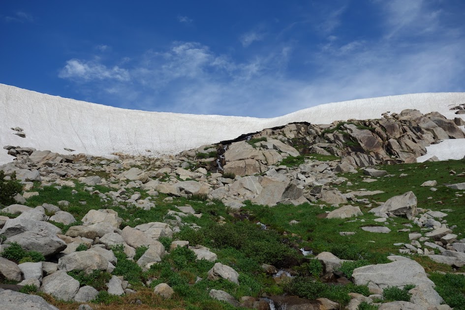
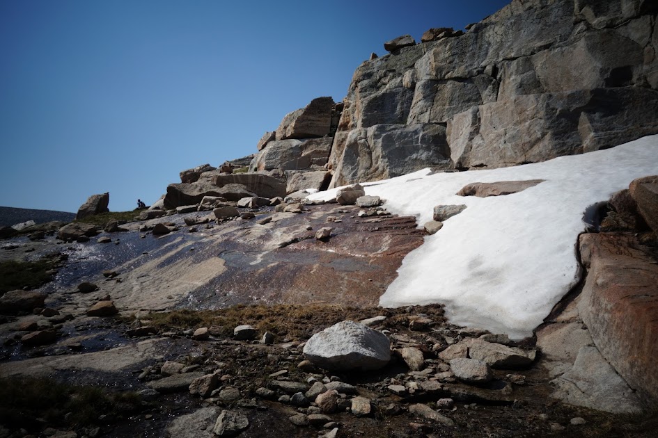
Although we could have avoided the snow, it was an easy walking surface in the afternoon.

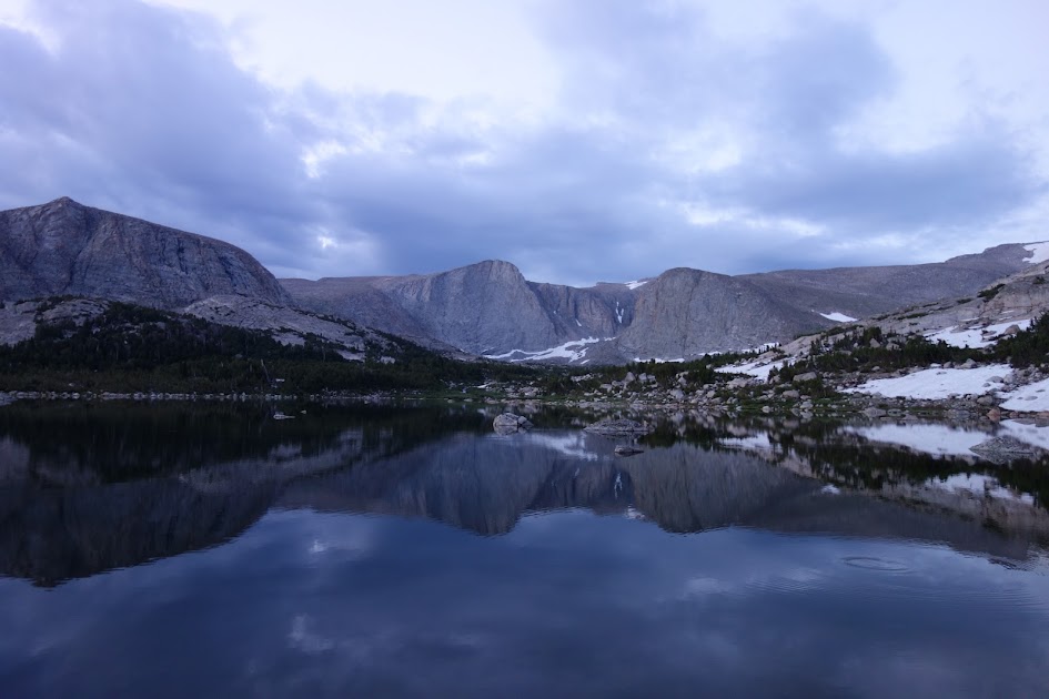
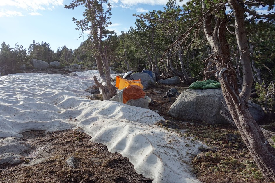
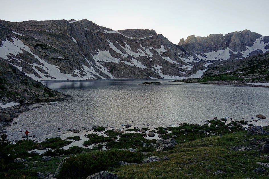
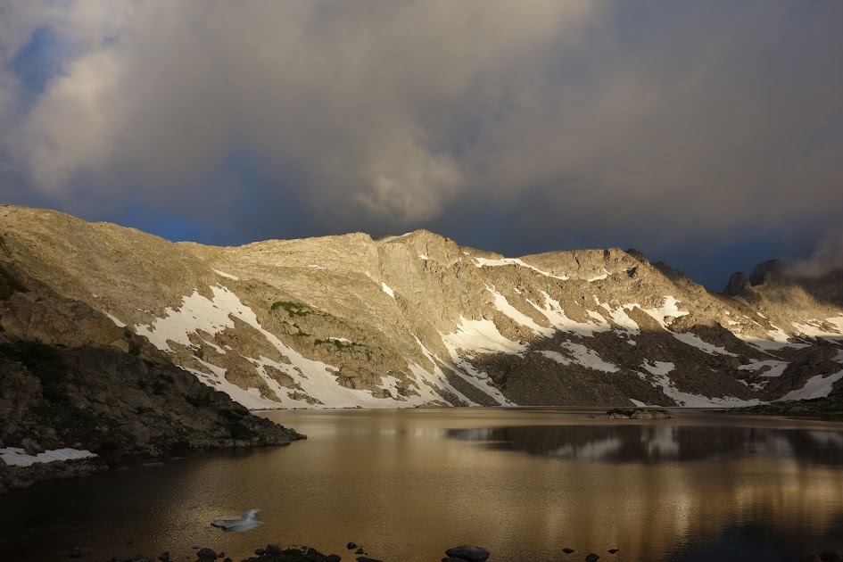
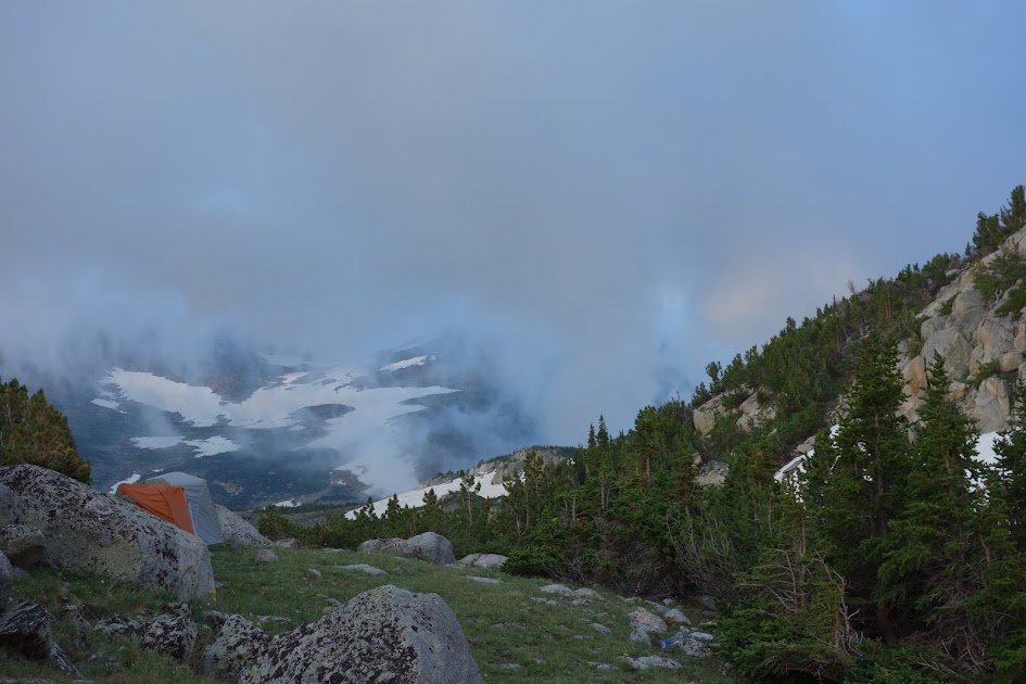
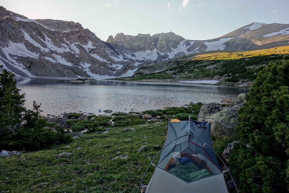
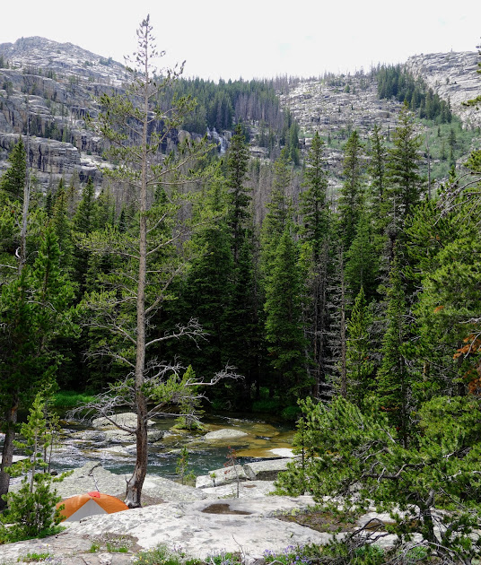
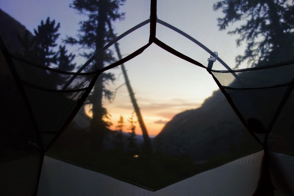
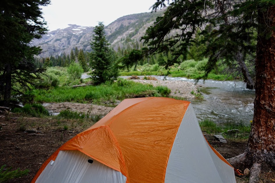
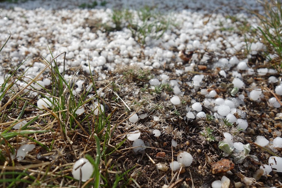
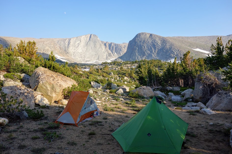
We camped near Footprint Lake, under thunderstorm skies.
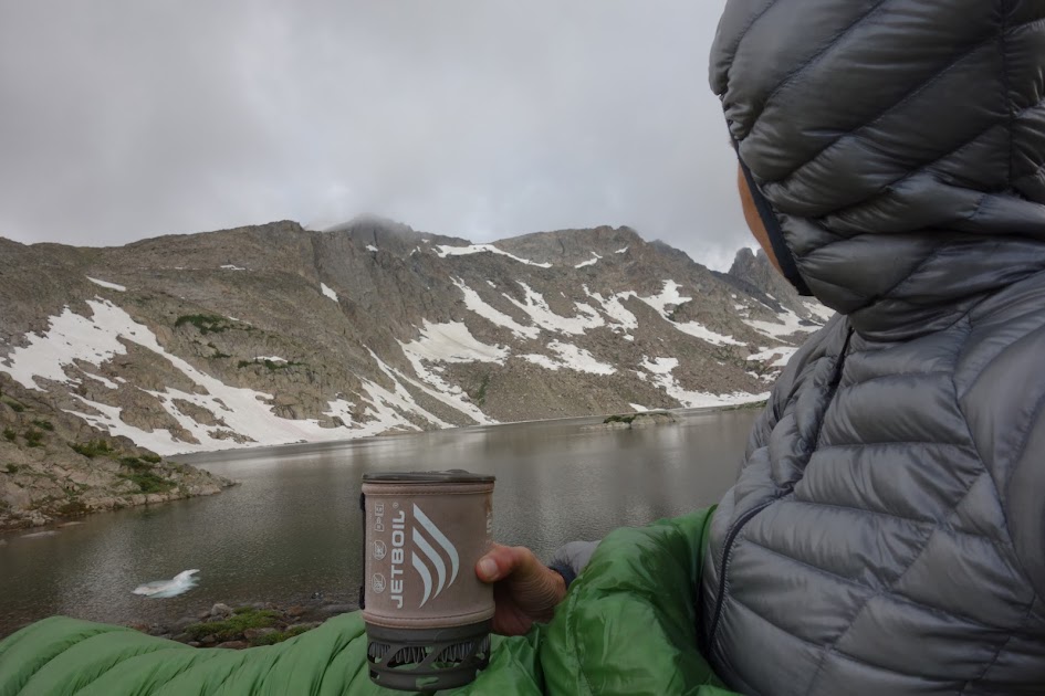
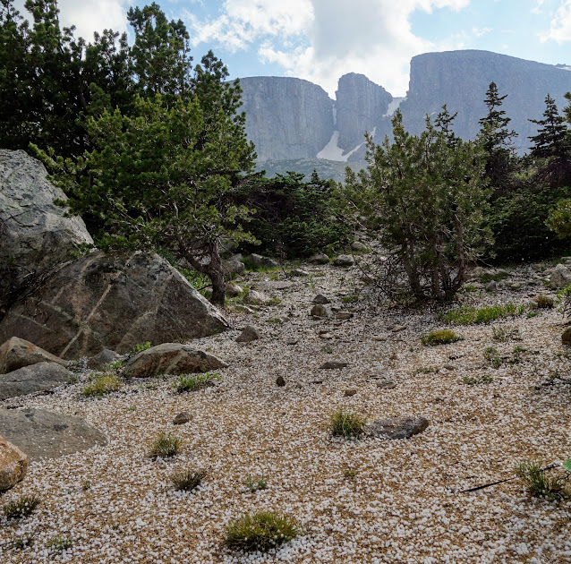
Just after dinner we were treated to a hail storm.
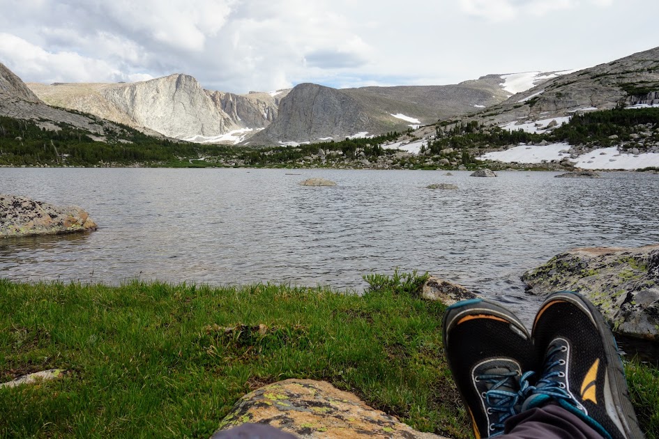
Not a bad room with a view.
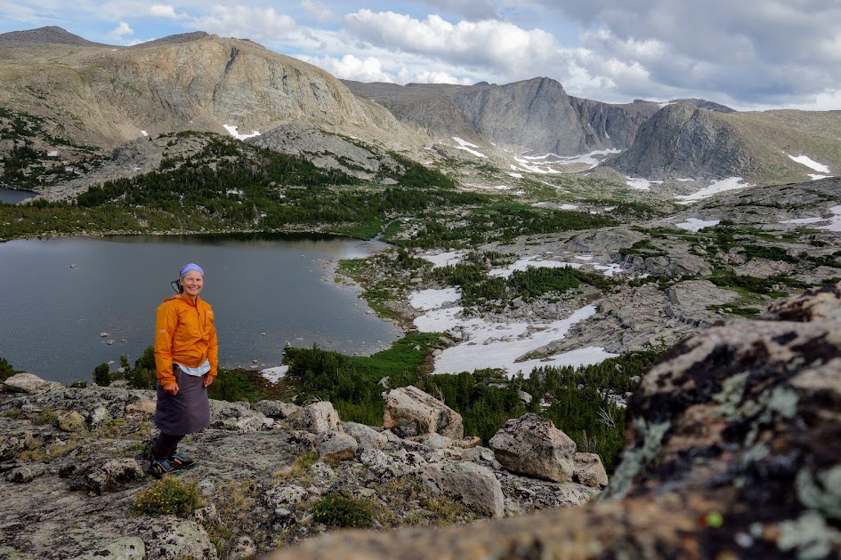
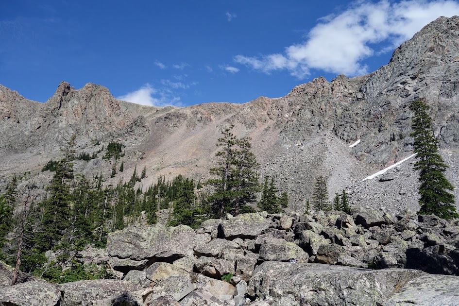
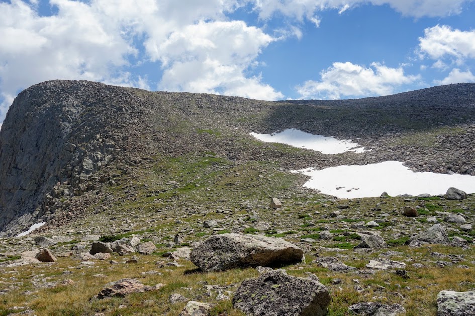
Our goal is the high ridge on the left of the lake.
We started with a traverse on the right of Footprint Lake.
One concern was whether the shelf in the middle (under the pointy peak) would be sufficiently wide to safely traverse.
Wonder what’s behind the ridge?

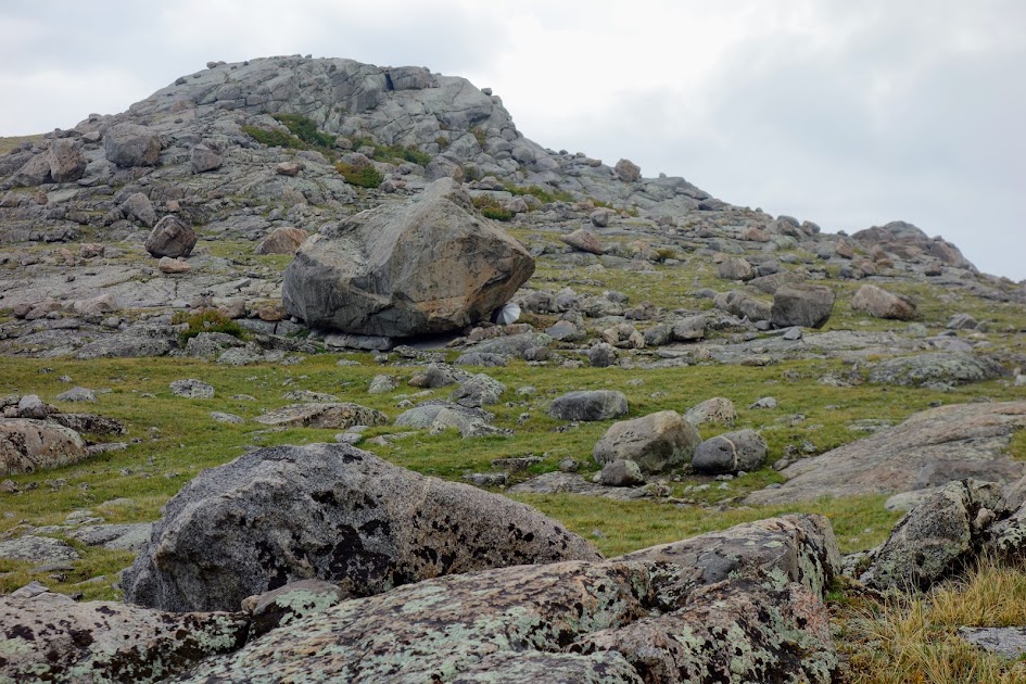
Keith successfully made it to the top of the first hump.

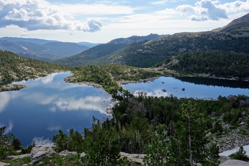
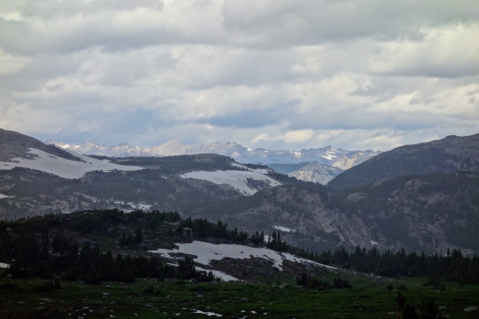
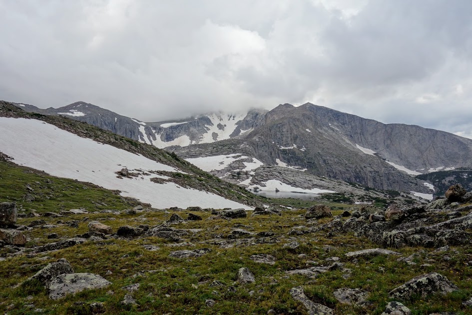
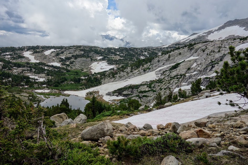
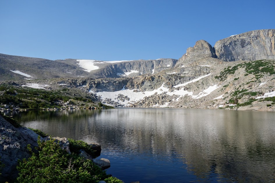
We found Toad Lakes and Ponds. There are a couple wildfires in Wyoming with subsequent smoke in the air.
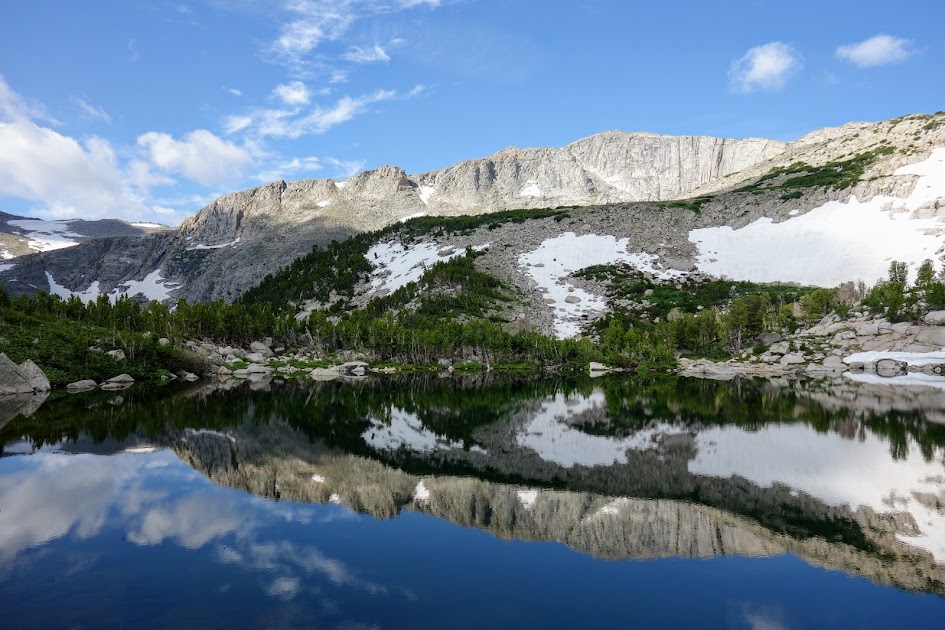
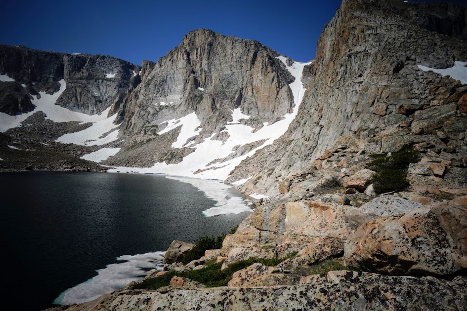
It was exciting to discover partially frozen Eyrie Lake.
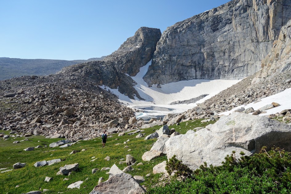
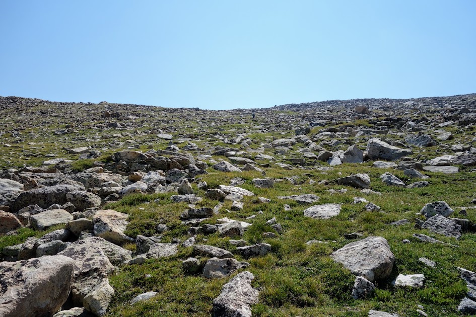
Then it was time to work our way up the next slope.

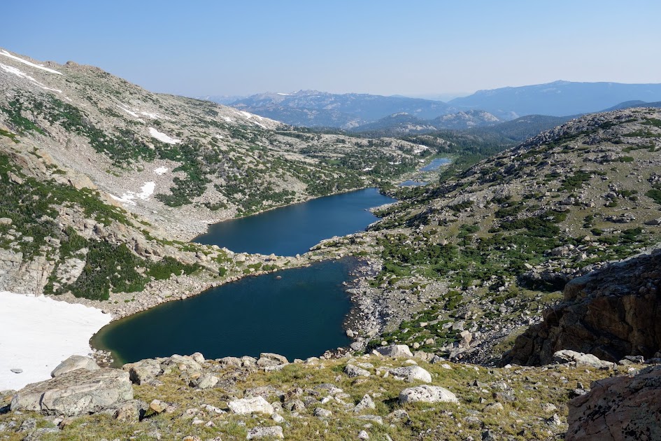
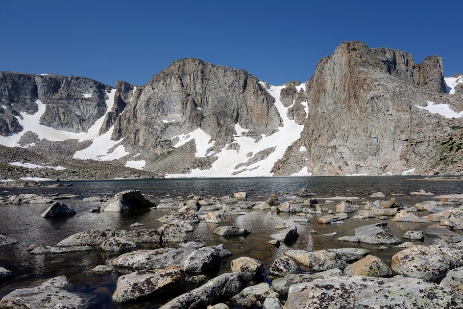
Lightning Lake on top, Zig-Zag Lake to the left, Footprint Lake at bottom.
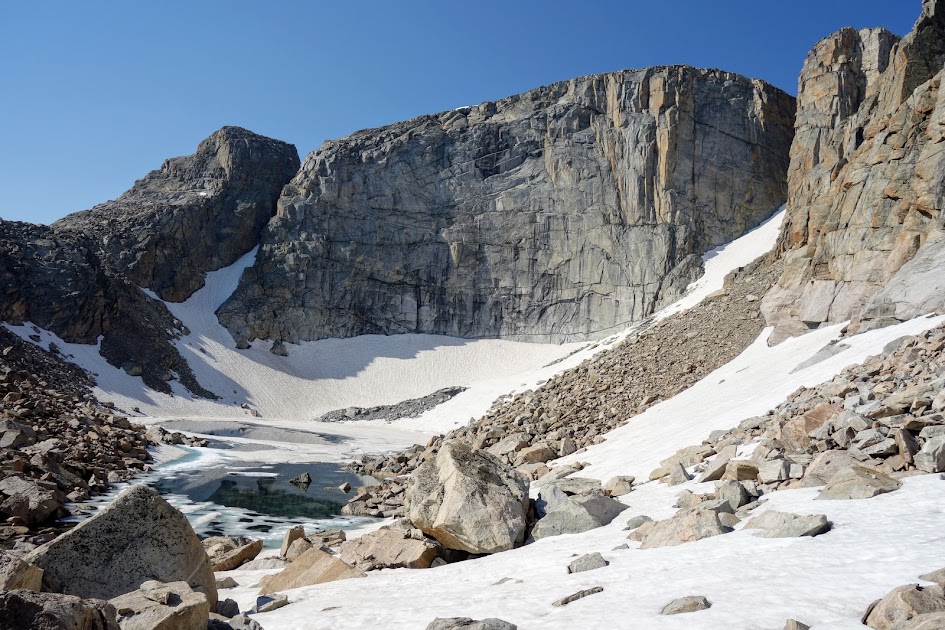
Finally we found the namesake shape of Footprint Lake.
We arrived at the shelf and found it plenty wide for safe passage.
Then it was time to traverse around Lightning Lake.
Our goal is still the ridge on the other side of Lightning Lake.
Lightning Lake had many faces.
Working our way up. Where’s Keith?
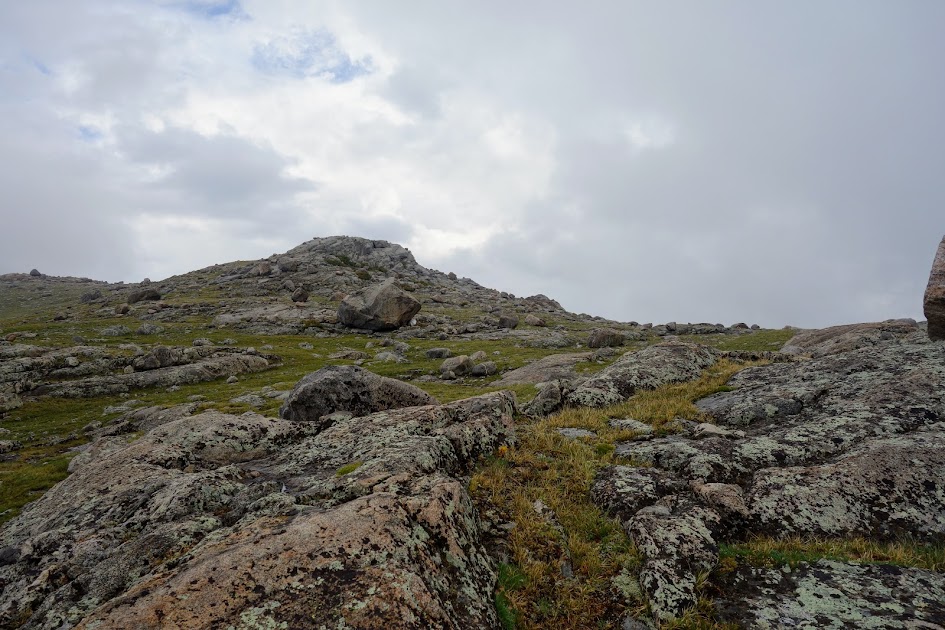
The final push to the top. Can you find Keith?
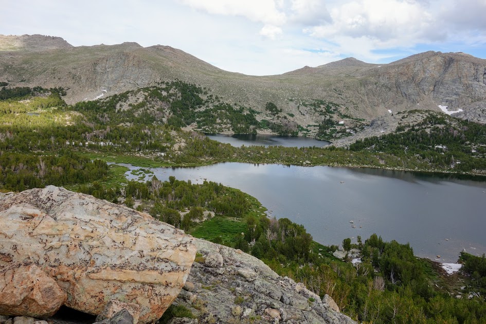
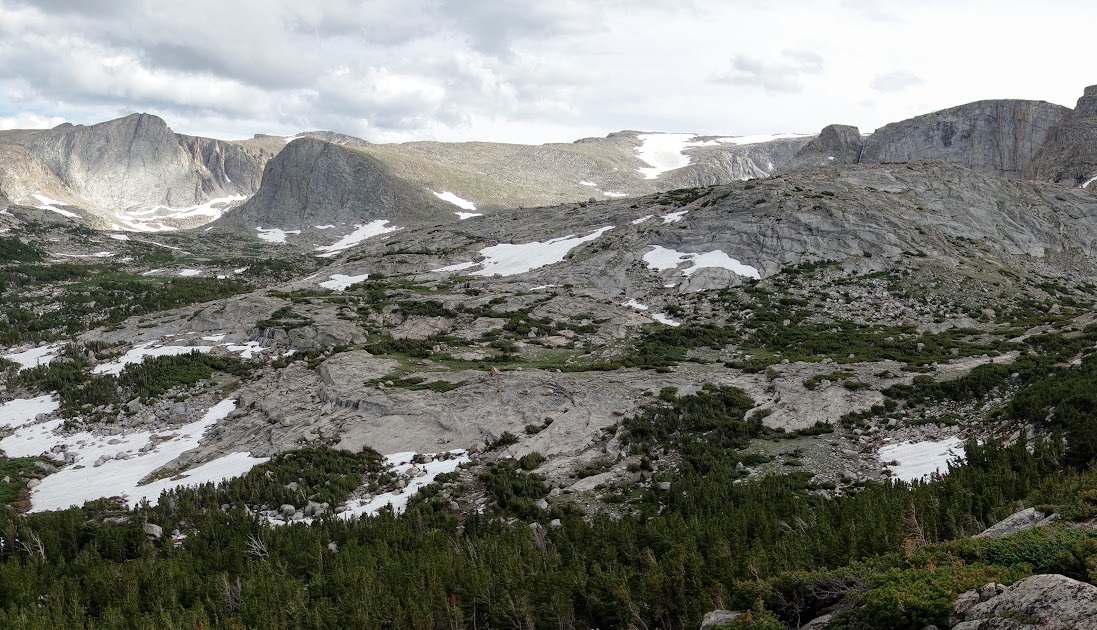
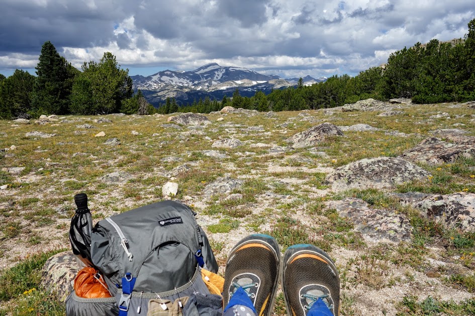
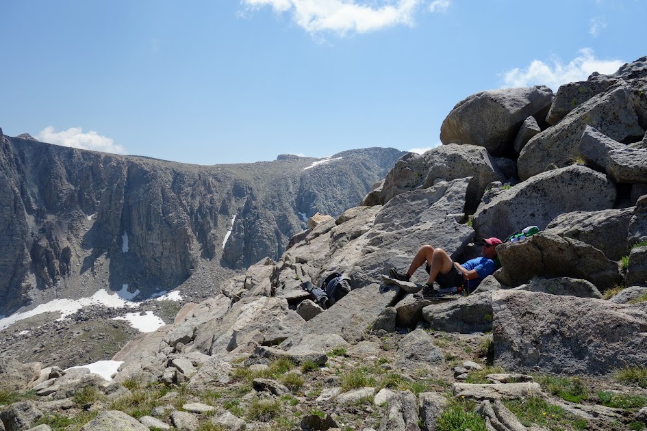
We made it to the first viewpoint where we could see Canyon Lake.

We found a good lunch spot before scrambling just a bit higher.
And a treacherous cornice.
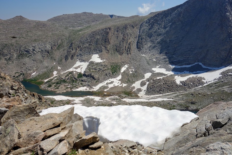
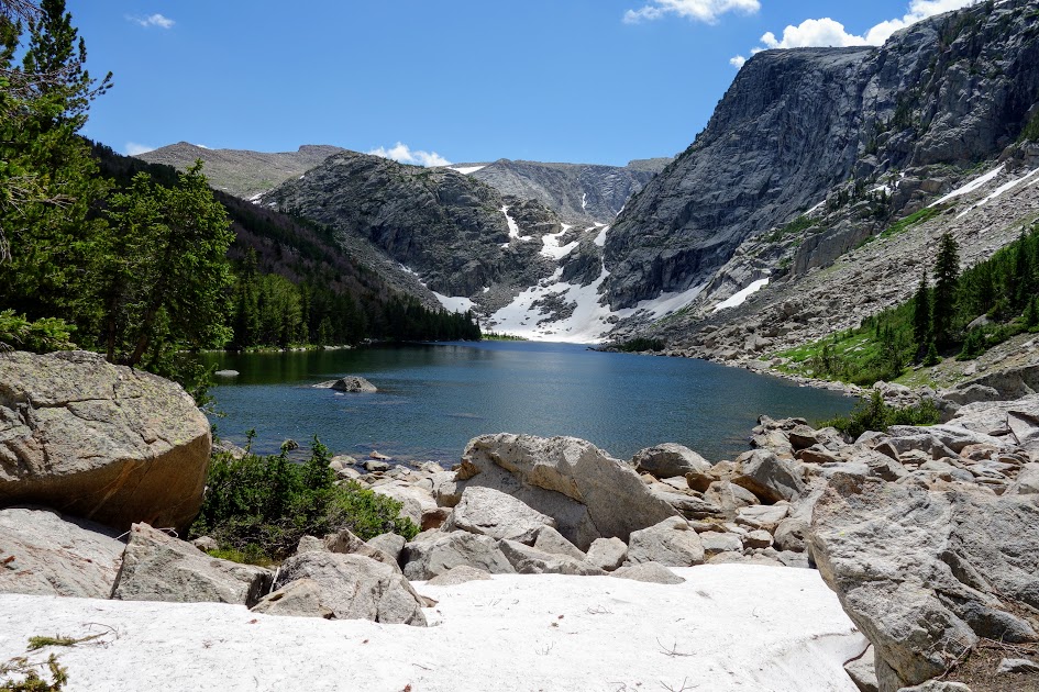
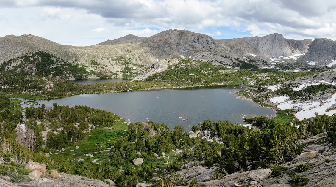
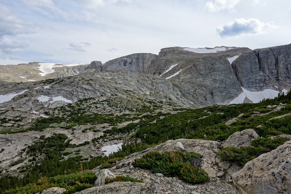
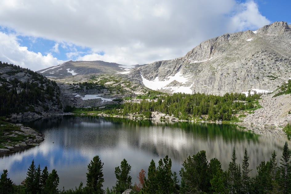
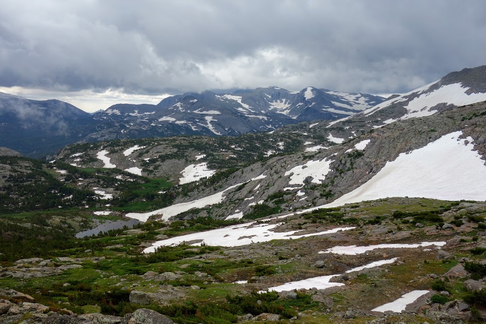
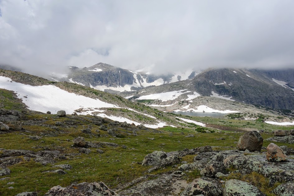
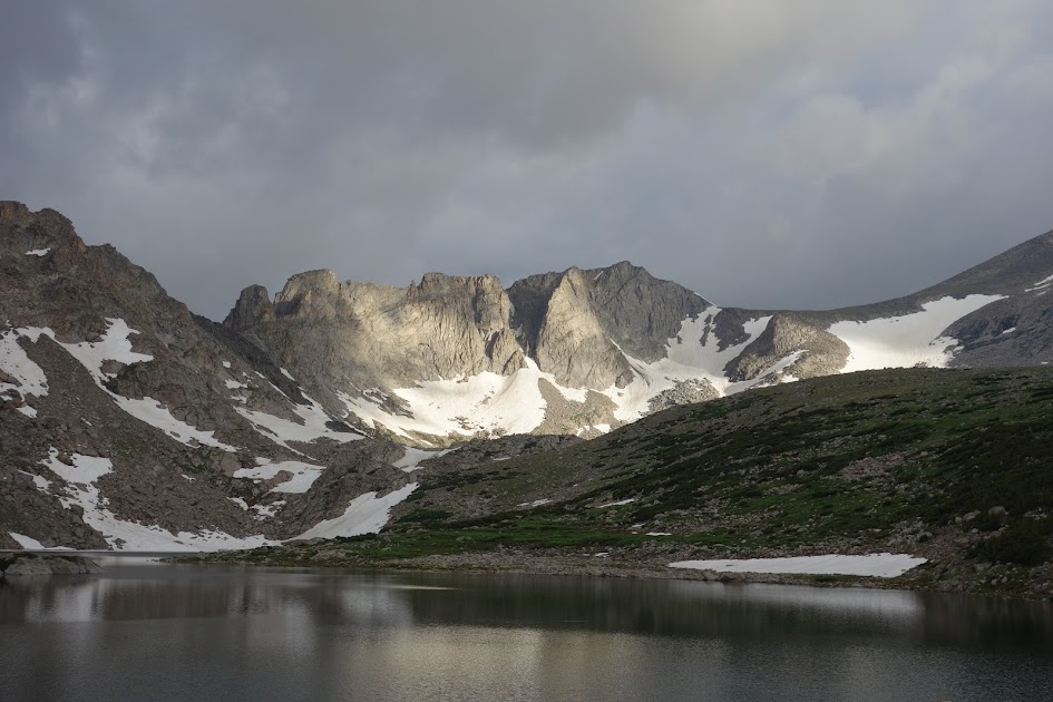
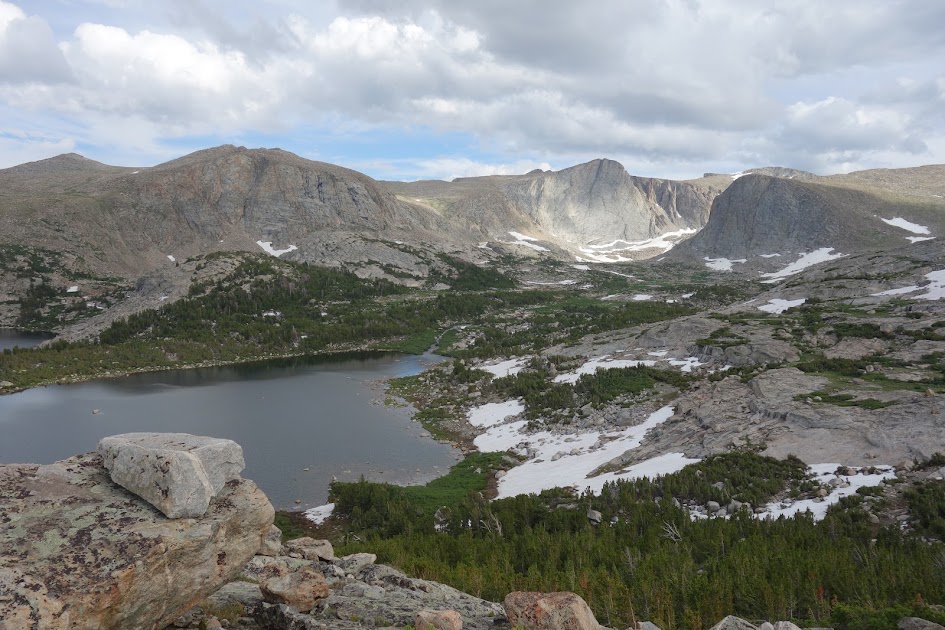
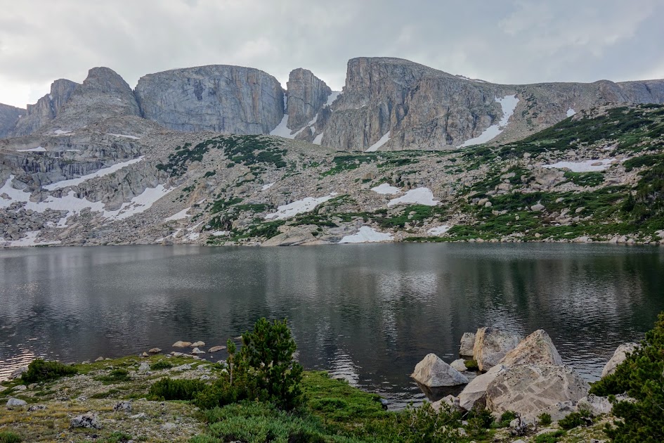
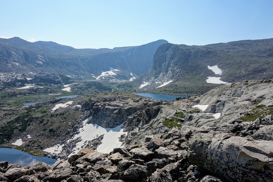
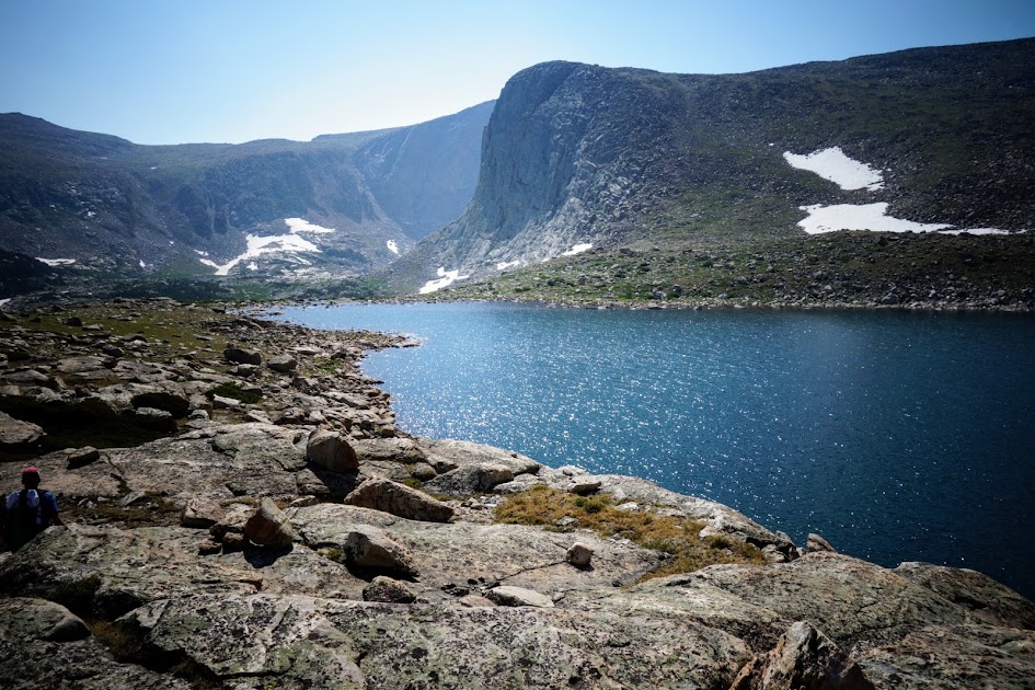
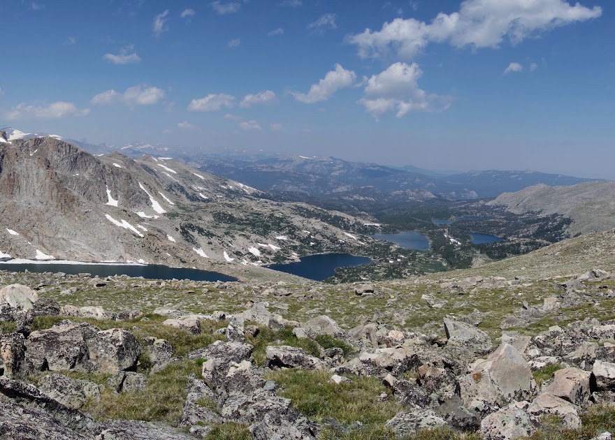
We had a great view of Stough Lake basin including Lightning Lake, Footprint Lake, Shoal Lake and Big Stough Lake.
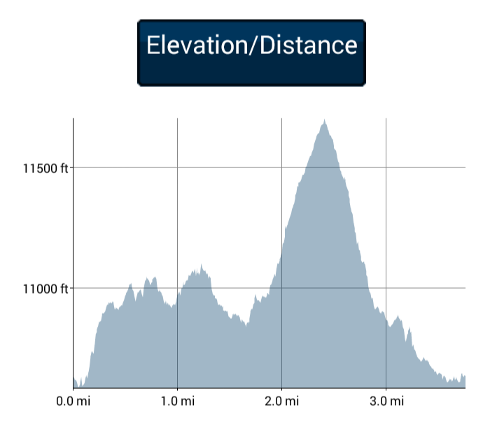
What did our route look like?

Our ramble wasn’t many miles but it sure was a workout.

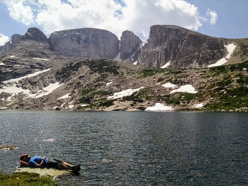
Back at Footprint Lake, it was siesta time!
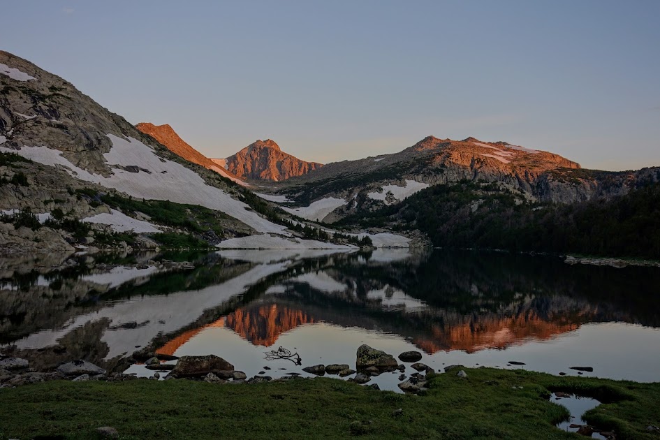
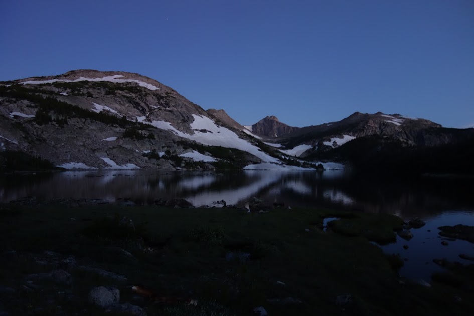
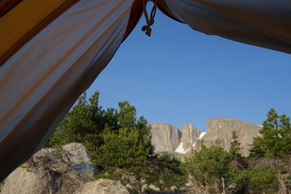
Another night with glorious views.

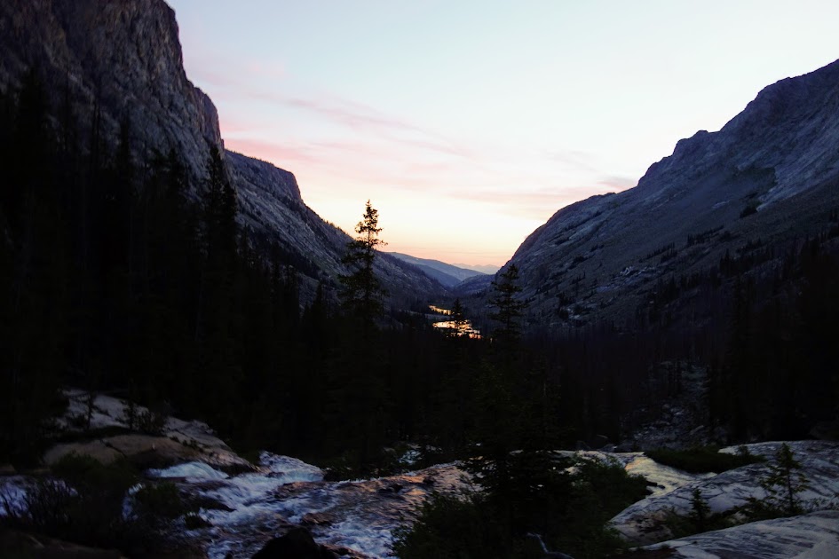
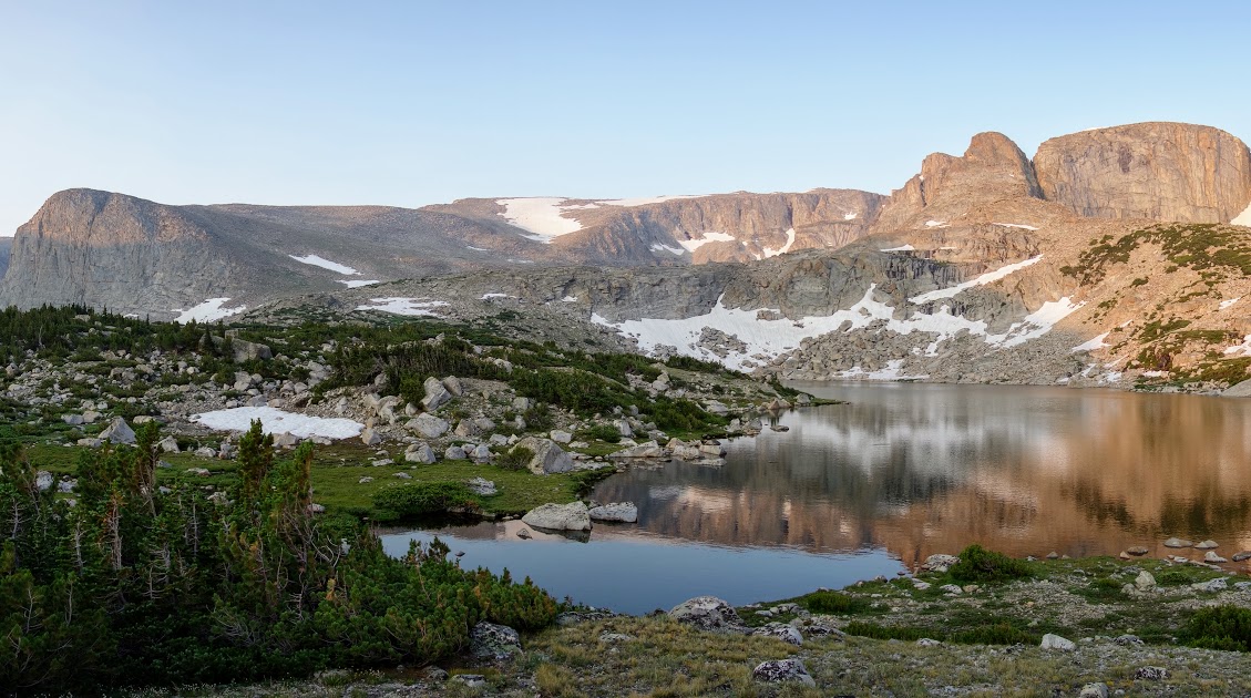
The next morning we were treated to a colorful sunrise.

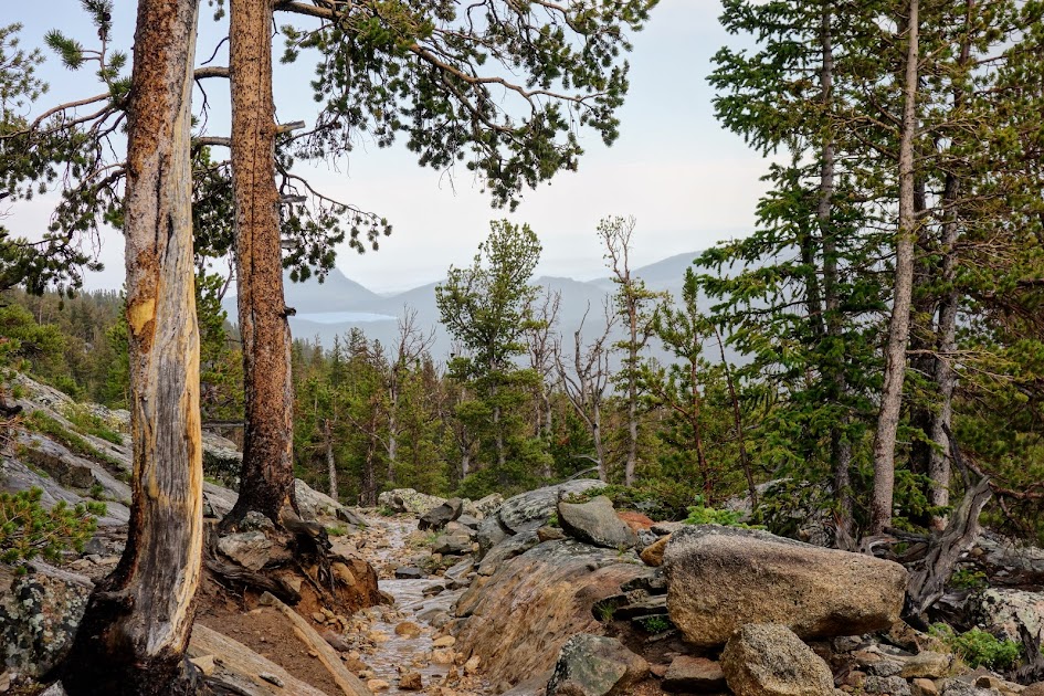
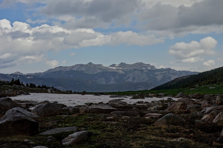
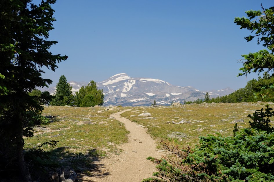
We returned to the trailhead via Roaring Creek Lake, first enjoying a view of Wind River Peak, the highest mountain in the Winds, thus aptly given the namesake.
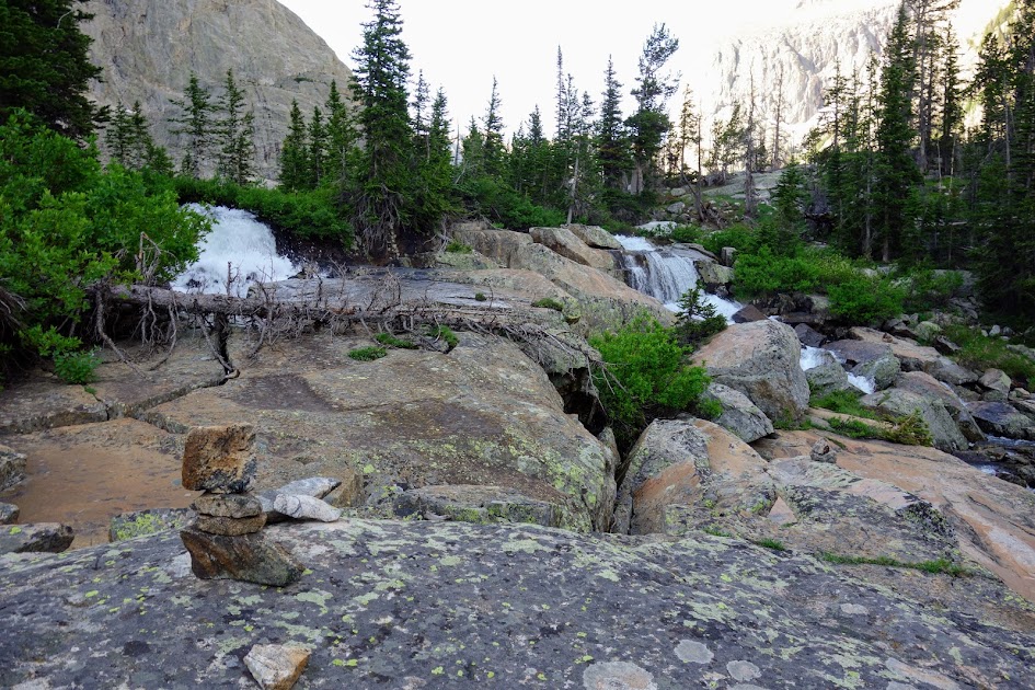
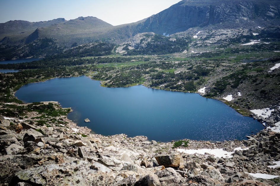
The finale was crossing Roaring Creek Lake.
Hike Details:
- Date(s) Hiked: 8/2-4/17
- Mileage: Approximately 22 miles
- Elevation Gain/Loss: Unknown, but a LOT. Thus far in the Winds I’ve found very little flat.
- Trail Conditions:
- Tree obstacles: All clear!
- Overgrowth: Main trails, zero. A bit on the secondary trails to the lakes
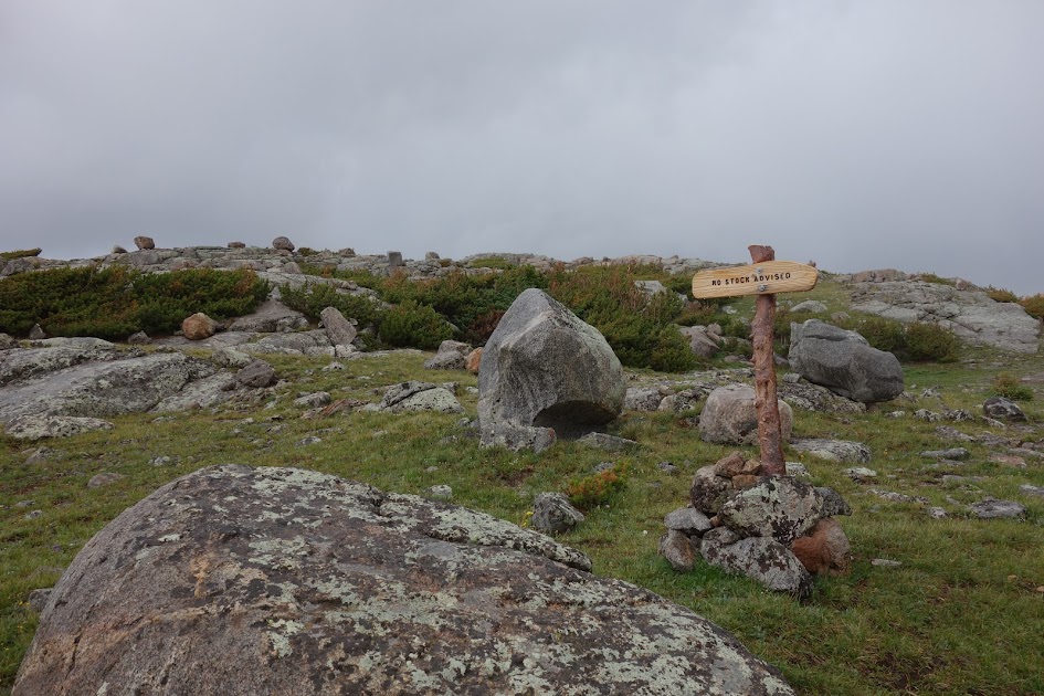
- Signage: Confusing at a couple junctions; mileages inaccurate
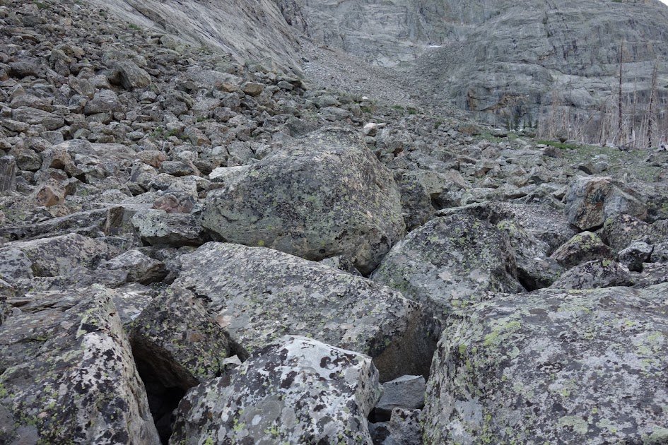
- Terrain: Good on main trails with some snow and muddy muck conditions
- Water: Plentiful
- Camping: Plentiful
- Solitude: Moderate. We only saw the Llama Mamas between the trailhead and the basin. There were a few groups camped in the basin. We crossed paths were several groups near the trailhead as we exited.
- Bugs: Plentiful although I didn’t need deet
- Precip: Thunderstorms daily in July and early August
- Temp: Lows of 30’s to 40’s, highs 60’s to 80’s.
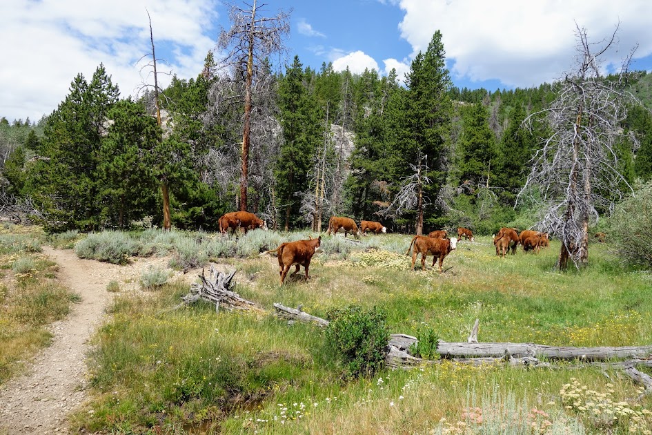
- Jan’s Cherry Picker Delight Scale: 4++ cherries (out of 5). Would be a 5 if trails weren’t so mucky from livestock.
Tips:
- Be prepared for altitude, elevation changes, weather changes, snow, bugs and navigation.
Resources:
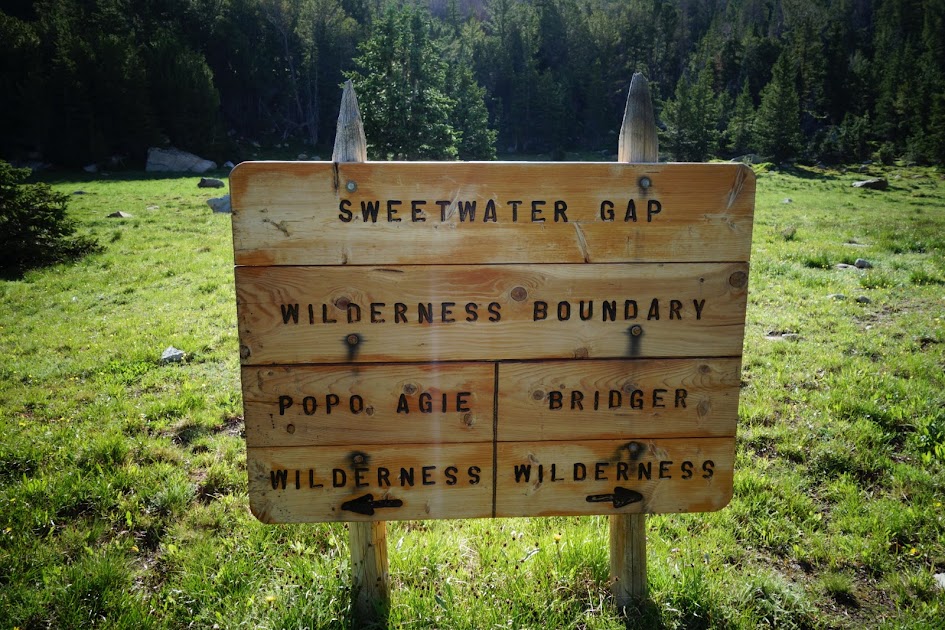
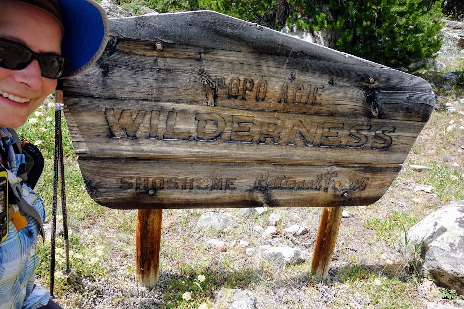
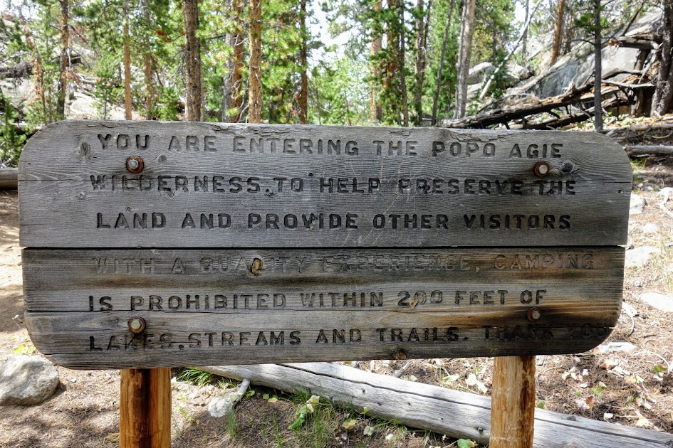
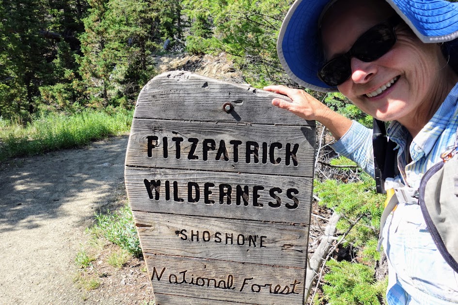
- Shoshone National Forest, Popo Agie Wilderness
- Nancy Pallister’s book, Beyond Trails in the Wind River Mountains of Wyoming
- Ron Adkison’s book, Hiking Wyoming’s Wind River Range
- Beartooth Publishing Wind River Range South Outdoor Recreation Map